
After hiking the section of trail between Sprits Creek and Salt Fork Creek, we drove down County Road 77 stopping at Fugit Springs to fill water bottles and have a look around.
A U-shaped rock formation on the east side of the road marks the spring’s location. Next to that is a concrete box with a pipe coming out and clear, cold water. It is camouflaged by debris and easy to miss.

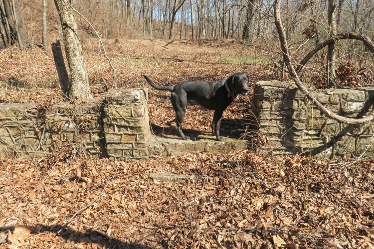
Across the road is a root cellar with concrete walls finished in stone. A walkway leads toward the concrete foundation of an old homesite. The stone walkway was clear of mud due to a well-built retaining wall on either side.

The wall that extended from the cellar structure parallel to the road included a walkway opening to the property. Whoever built this wall went to some detail to include what I imagine is the date of construction, 1936.


Concrete foundation with rock wall and root cellar in the background
In one corner of the foundation were two pipes that appeared to go to a septic tank. A pile of stones more centrally located in the structure looked like the remnants of a fireplace. I wish stones could whisper from time to time.
I’d like to learn more about Fugit Springs. Web searches revealed little. Maybe I need to drive the Shores Lake area and find some elders with connections or memories of the place.
Approx. GPS: 35.692824 -93.918149 on County Road 77 northeast of Shores Lake and two miles south of the Ozark Highlands Trail crossing.
