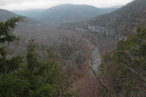
Buffalo River from the trail.
Heat, cold, rain, fog, and sometimes sunny skies: Arkansas dished up its typical buffet of weather for our four-day hike on the Buffalo River Trail.
We were originally scheduled to be a group of five hikers, but between chest colds, recent knee surgeries, family plans, and concerns about the weather, our numbers declined to two. When I planned the trip, I’d decided that I would gladly do this one solo if necessary so it was a go no matter what. Bob, who’d hiked this area extensively, and I were anxious to hit the trail.
We used the Buffalo Outdoor Center shuttle service in Ponca, which gets you out on the trail quicker. They would drive my Jeep to the Pruitt Trailhead (Hwy 7) prior to our arrival at the end of our four days. We piled into Bob’s vehicle for the short drive to the Boxley Trailhead (Hwy 21).
I was excited about doing the whole 37-mile Buffalo River Trail in one outing, having only done sections in the past. The plan was to camp three nights avoiding the river campgrounds.
Day 1 (March 16)
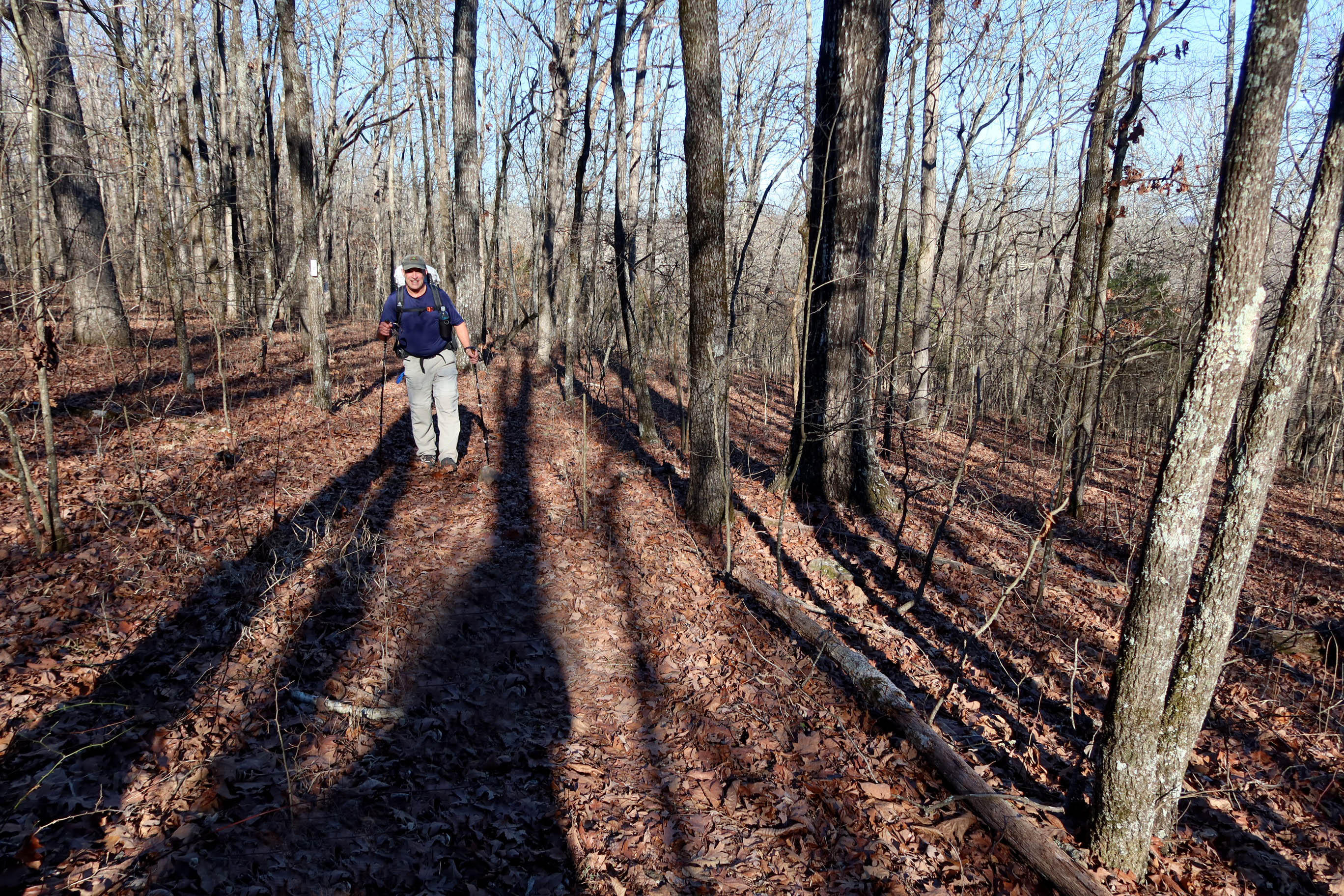
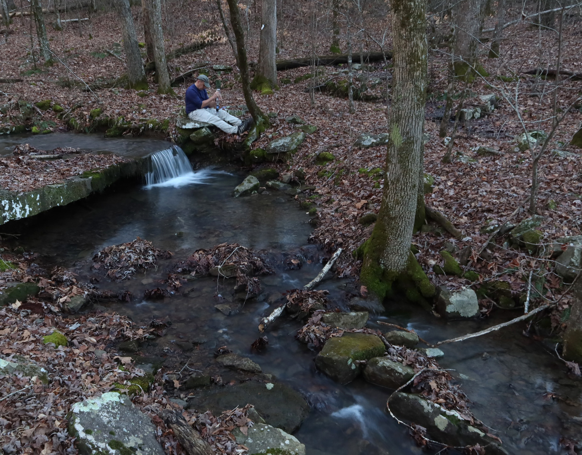
We got started around 9:30 a.m. with weather that was sunny and cool. As the day progressed, it warmed up and presented some challenges since this was our first warm weather hiking of the season. We passed a small spring that was just beautiful. It was one of those rare spots where you would feel confident to dip your cup into the cool water and take a swig without worrying about dangerous microorganisms. Better to be safe than sorry and the filter doesn’t add anything to the water.
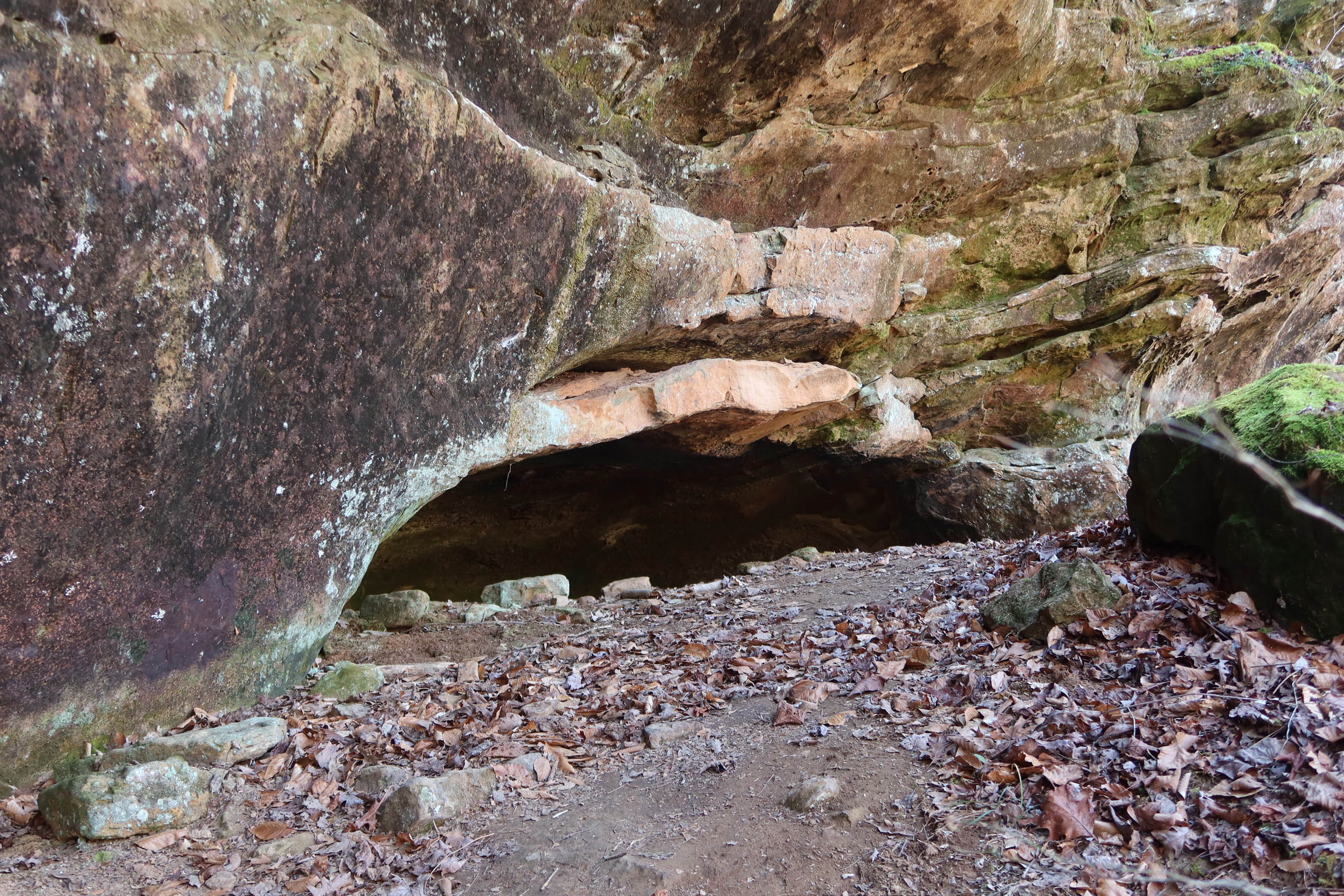
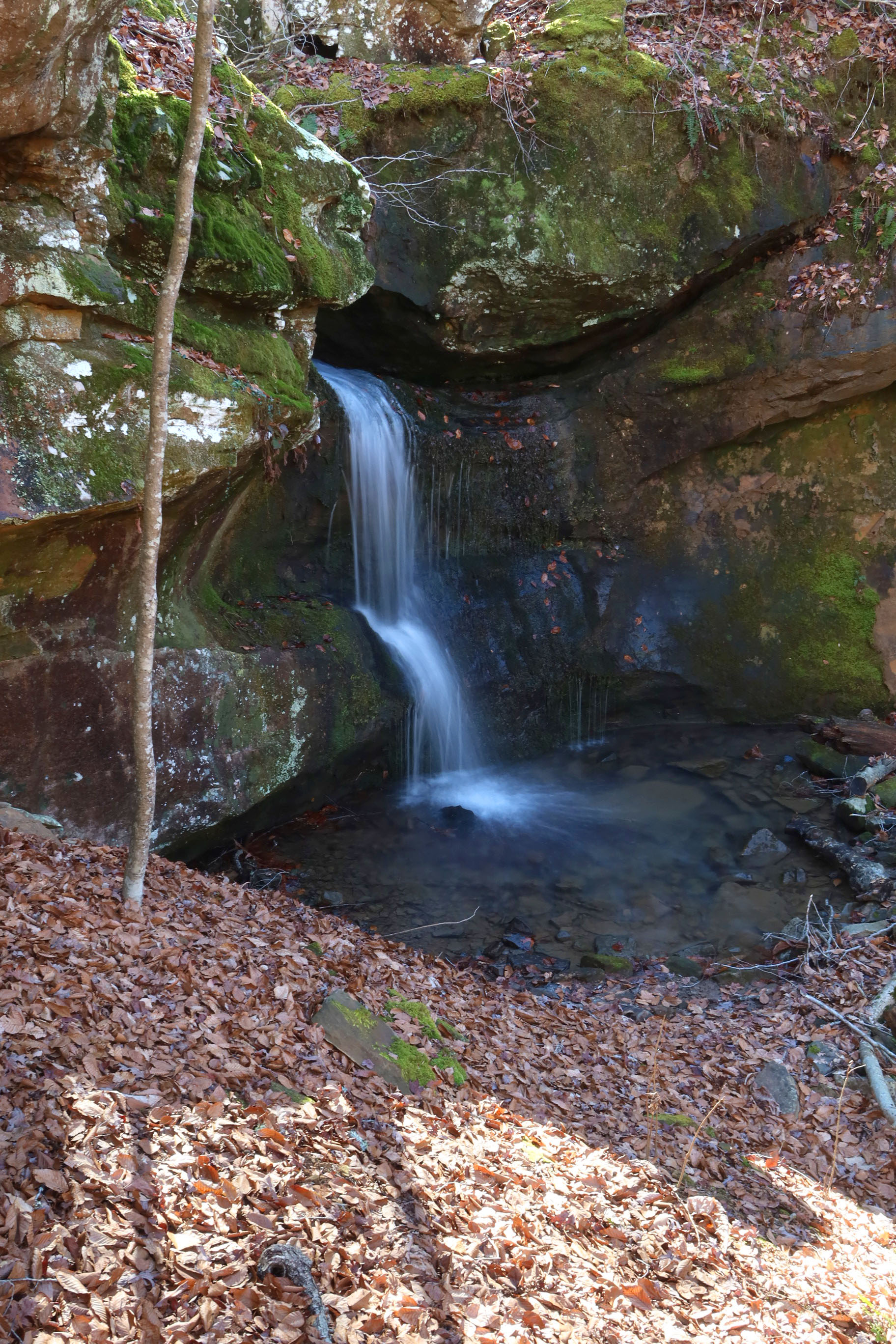
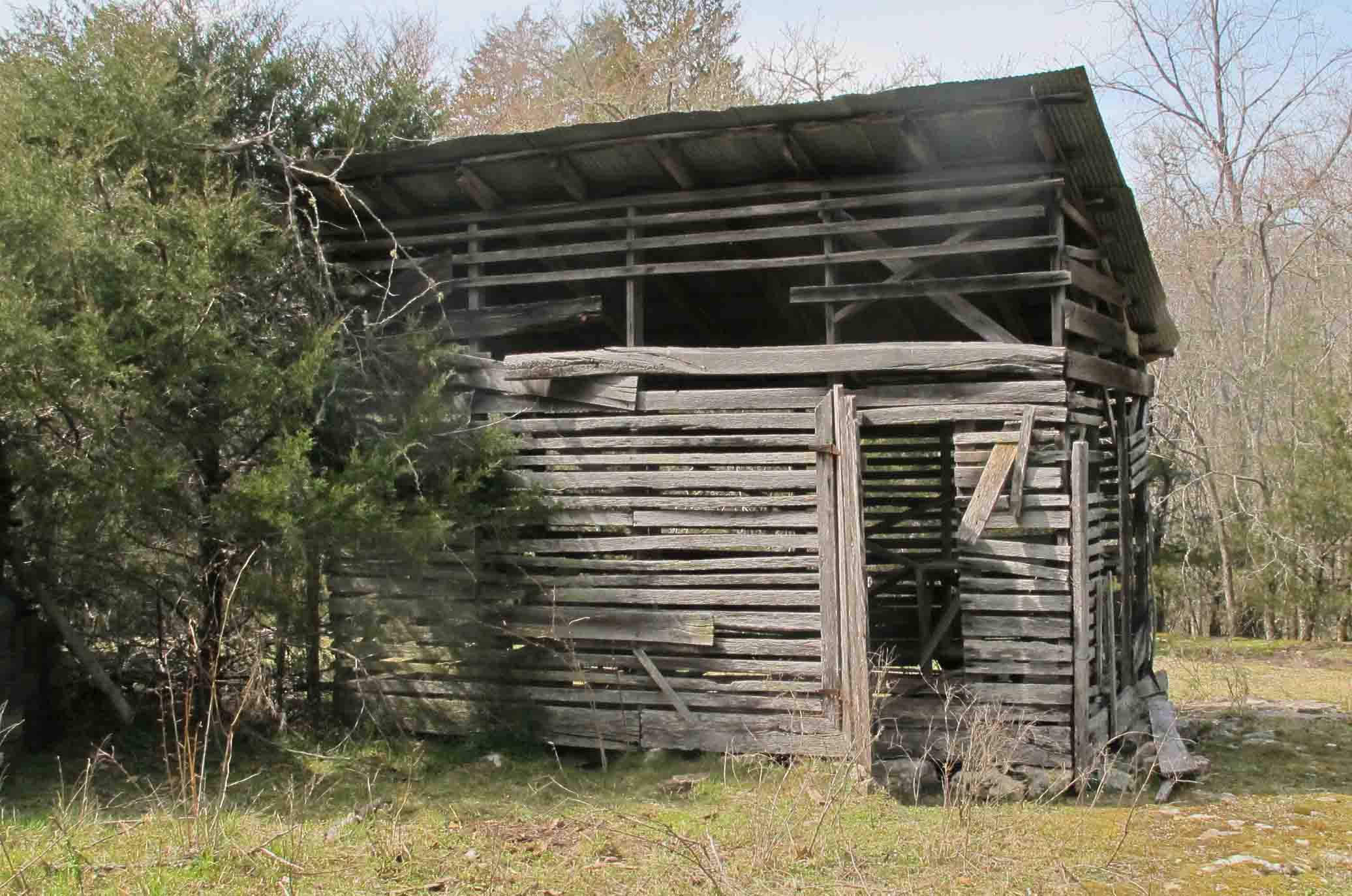
Later, we passed Pearly Springs which was another special place to explore. Pictures were difficult due to the bright sun but the view from the top of the Pearly Springs Waterfall was a treat. A smokehouse and storage building were located close to the spring. According to Ken Smith’s Buffalo River Handbook, Pearl Vilines lived up the hill from the spring in the early 1900s and could drop a bucked into the spring from her front porch.
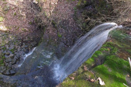
Pearly Springs Waterfall

Pearly Spring Smokehouse
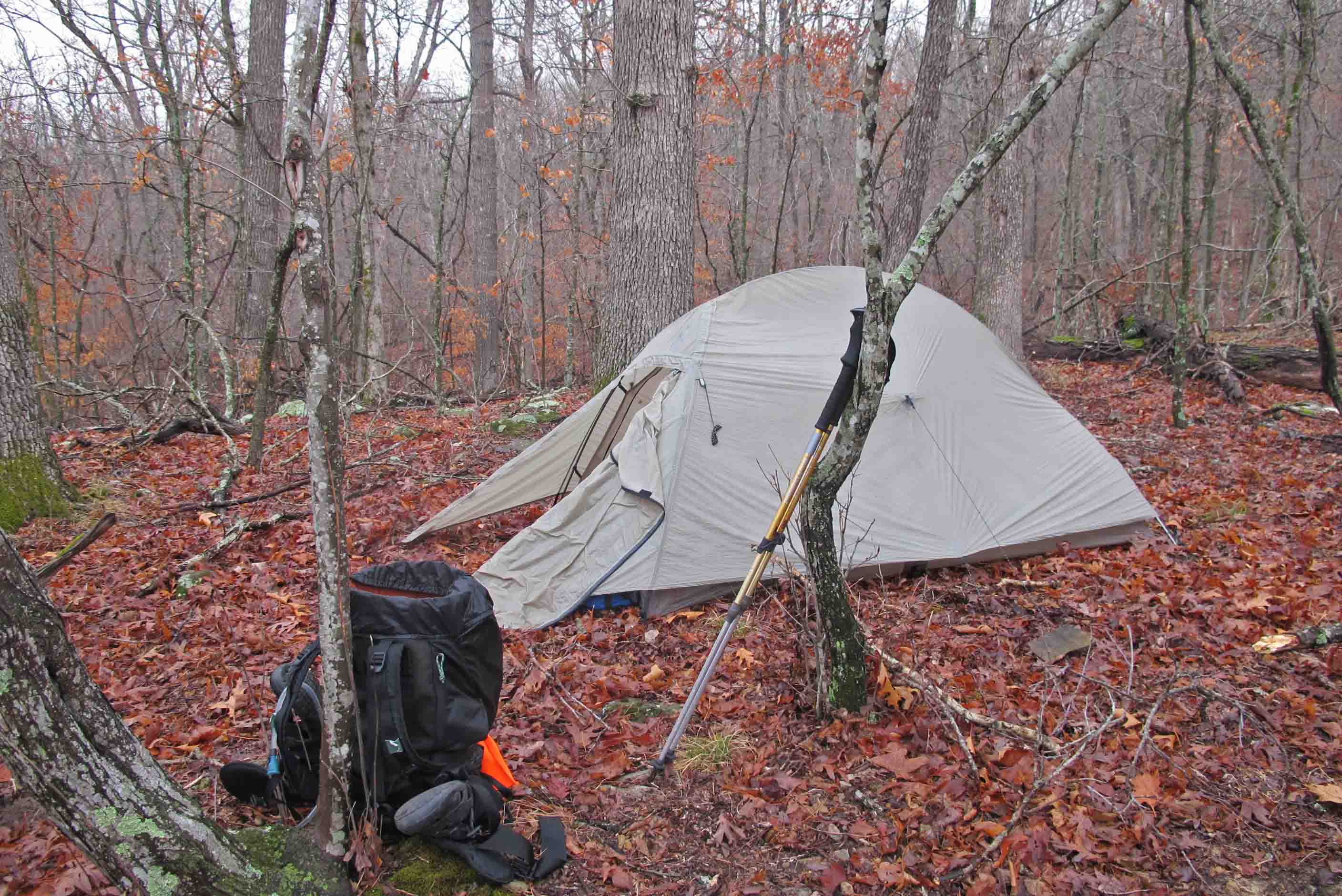
We camped on a ridge close to Big Hollow. A small creek drainage had some nice cool water. I dropped my melted Snickers bar into the creek so it would be ready for desert.

Snickers bar cooling in a small stream.
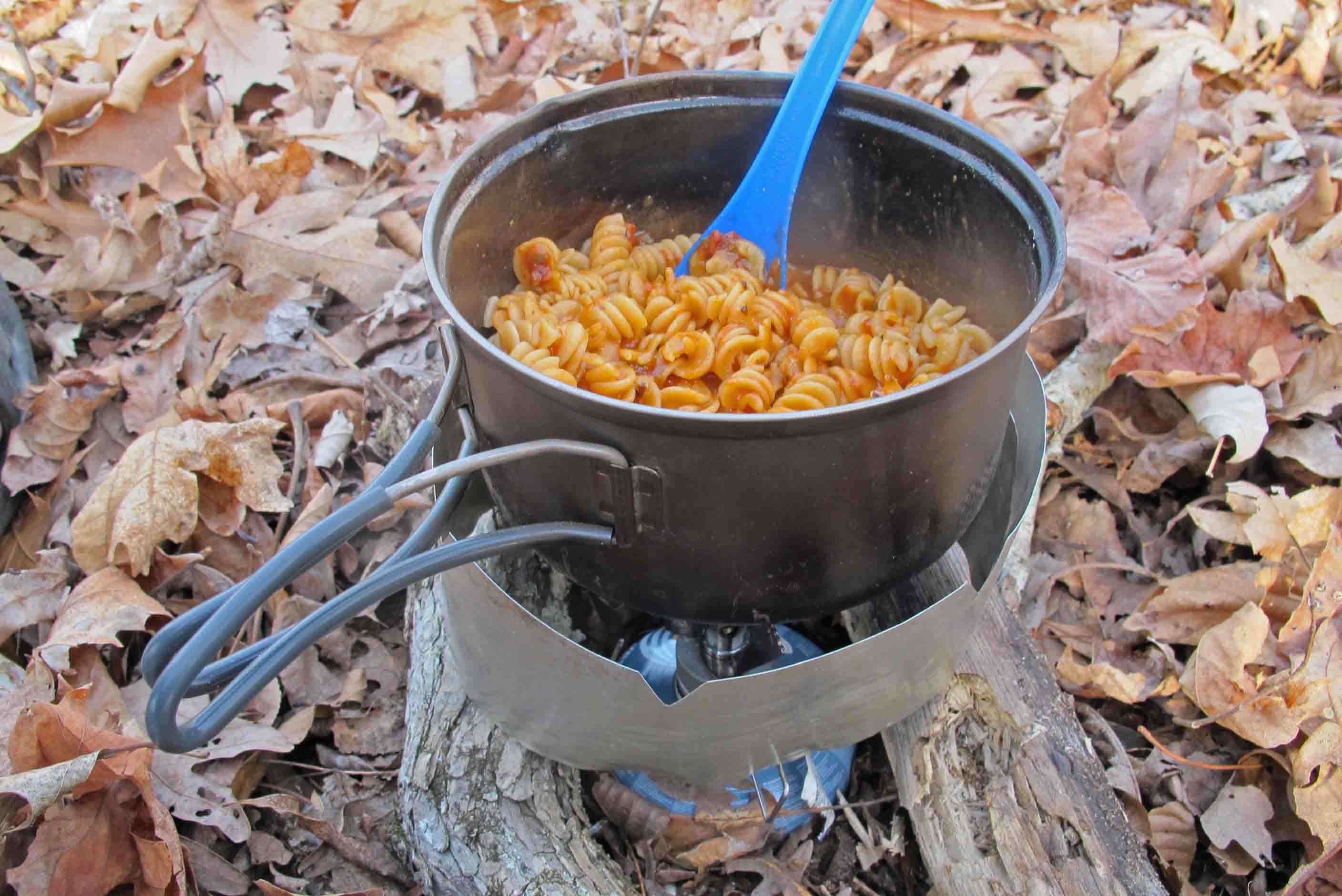
Supper was boiled potatoes followed by pasta and sauce that I’d dehydrated, but not used, for a trip in December. Tasted great even after three months of storage.

Dehydrated rotini and marinara sauce
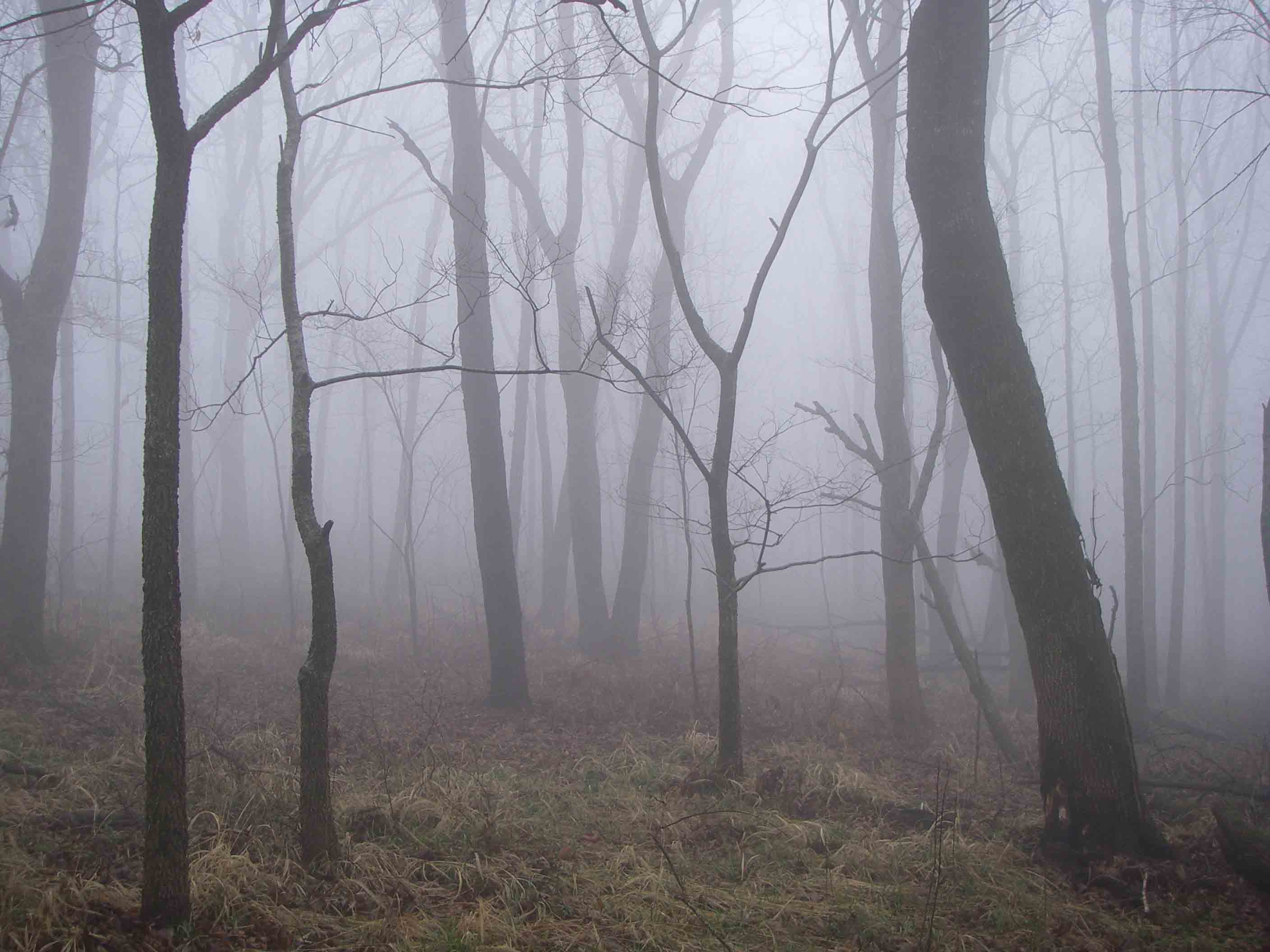
Enjoyed some reading as the sun slowly descended, revealing a bright moon and stars. This was a no-rain-fly night for sure. As I woke the next morning I felt a light mist of icy crystals. A fog had enveloped the ridge. I hopped up and prepared my first cup of coffee. A freshly ground cup never tasted as good as that Taster’s Choice instant made with water from an Ozark stream! After oatmeal and another cup of coffee, we were back on the trail.
Day 2
We found that Indian Creek and Bear Creek were both dry. I thought they would have water with recent rains but the thirsty ground must have soaked it up. We made a detour to Kyles Landing to get water from the campground or river. The water was on so we filled up and hiked past Bear Creek, climbing to a nice ridge where we camped. This was a good workout at the end of a long day because we each carried 5-7 extra pounds of water at this point.
Supper was boiled potatoes followed by broccoli-cheese soup. Bob said my trail name should be Tater since I always throw a few red or gold potatoes into the pack. Several worse trail names come to mind so Tater it is. Those potatoes are easy to pack, prepare, and they taste great at the end of a long day’s hike.

Home next to the Buffalo River.
It was a cool and foggy evening so we turned in around 6:00 p.m. After a little reading I dozed off, waking briefly at 10:30 p.m. I then continued with a good night’s sleep until 7:00 the next morning. When have I ever slept for twelve hours? Coffee that morning was not the best due to the park service treated water. I was looking forward to better coffee the next morning when we were once again treating our own stream water without the chorine taste.
Day 3
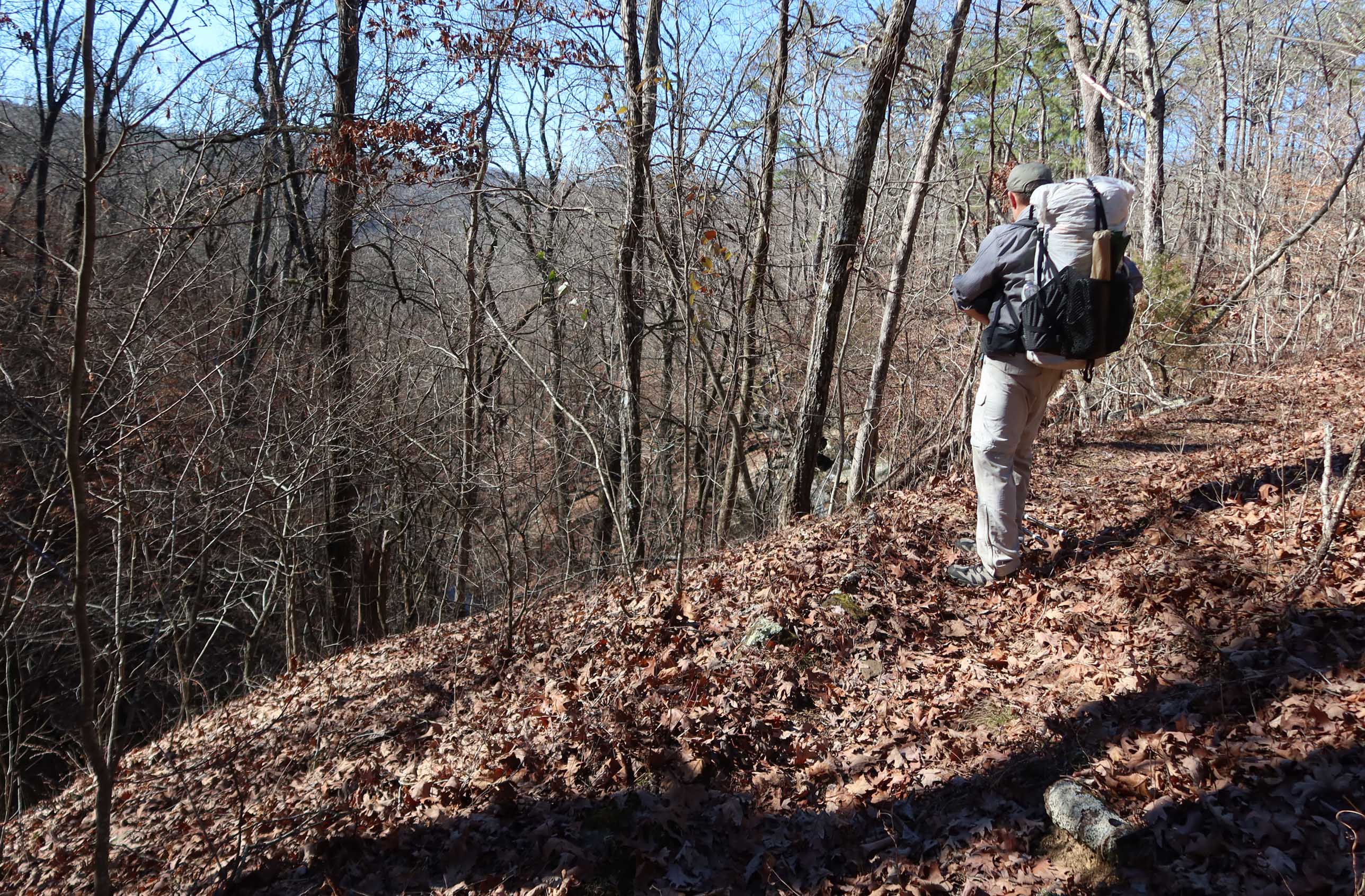
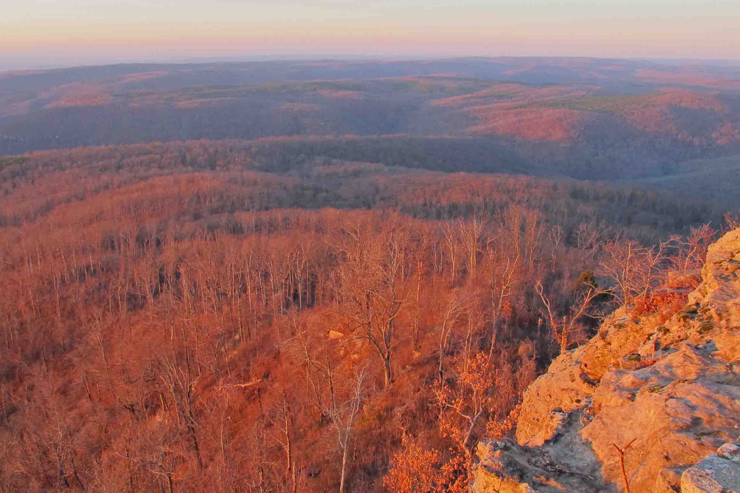
Walking along the ridges watching occasional canoes pass, we contemplated how different this area might have been if not for Neil Compton and many other advocates for the Buffalo National River. It might well have been just another lake among many in Arkansas.

View of the river through cracked bluffs along the trail.
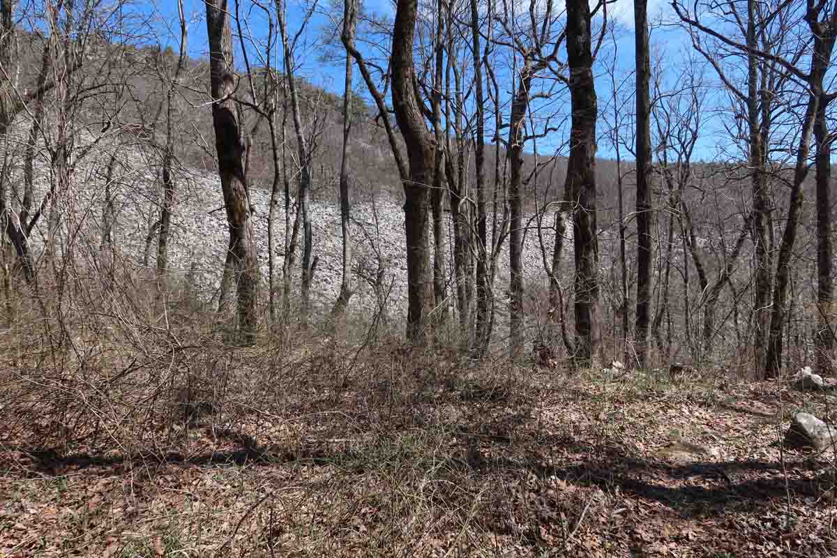
One of the visual gems so easily missed along the BRT

Approaching the Parker-Hickman site.
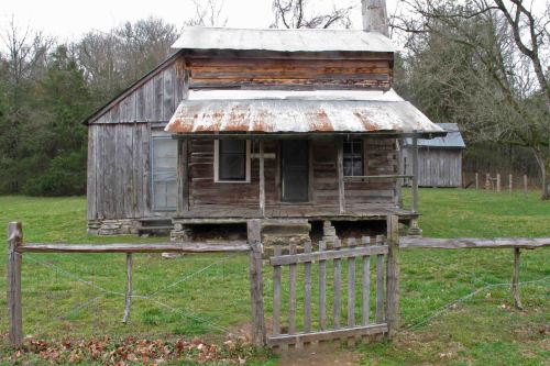
Parker-Hickman cabin
The trail passes the oldest known structure along the Buffalo River. Built by Alvin and Greenberry Parker between 1847 and 1849, the structure is now known as the Parker-Hickman cabin because it was occupied by the Hickman family from 1912 to 1978.
Newspapers and magazines were used to cover the inner walls and some print can still be read. Mud and wood pieces were used to fill between some of the large timbers. The cabin was skillfully built with precisely cut half-dovetailed log corner joints (Buffalo River Handbook by Ken Smith).

Detail of an inner wall of the Parker-Hickman cabin
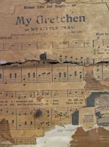
Detail of an inner wall of the Parker-Hickman cabin showing an excerpt from Home Life Magazine
We camped a couple of miles past Cedar Grove Picnic Area next to a little oxbow off of the river. Nice water and a small flat spot for tents. Several horse riders passed by that evening heading toward the Ozark Campground a couple of miles away. The sounds of owls hooting, coyotes howling, deer feeding, and turkeys gobbling filled the night but did not disturb sleep.
Day 4
We had frost on the rainflies and some ice in water bottles when we woke the next morning. It was to be a cool and sunny hike out. A highlight on that last day was the spring-fed pond between Ozark CG and Pruitt TH. I remembered the pond from a few years ago but did not remember how beautiful the spring was. There were dark green watercress growing close by. We found ourselves wondering about the people who built the small pond just below this spring and what their lives might have been like.
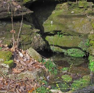
Small clear spring with watercress
On the last mile of the trail while noticing wildflowers beginning to peek out from under the leaves, I found myself thinking about the next season I would target for a Buffalo River hike. I’ve only seen a fraction of its beauty.

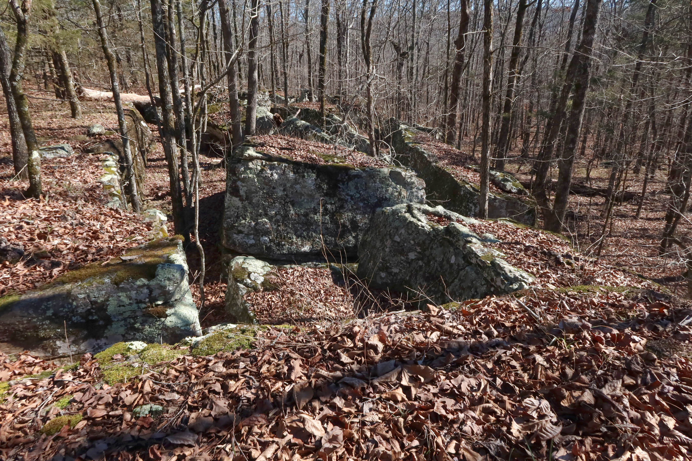
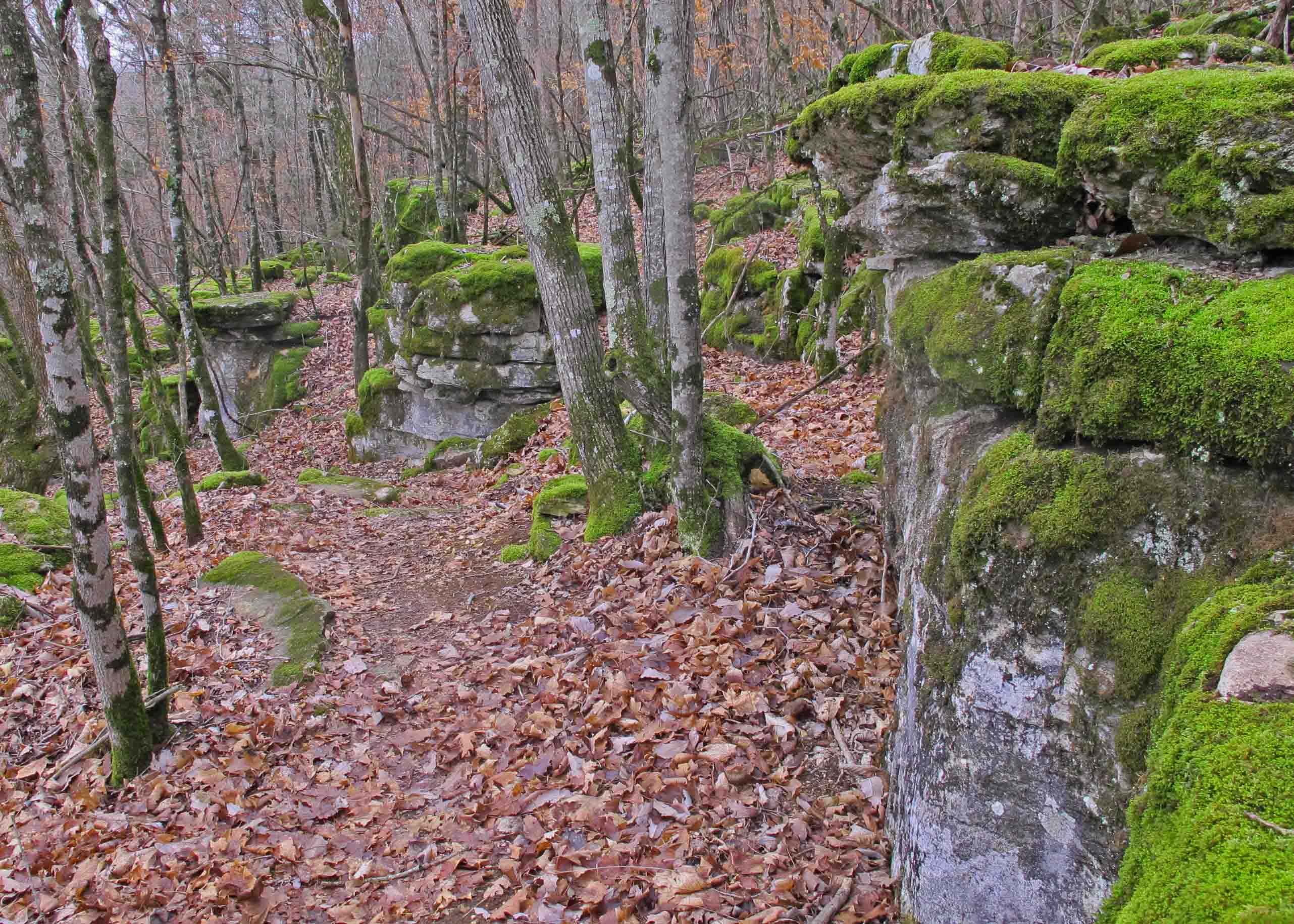
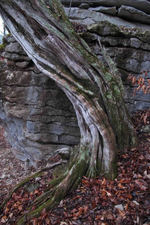
Moss-covered limestone maze similar to many that surround portions of the Buffalo River Trail.
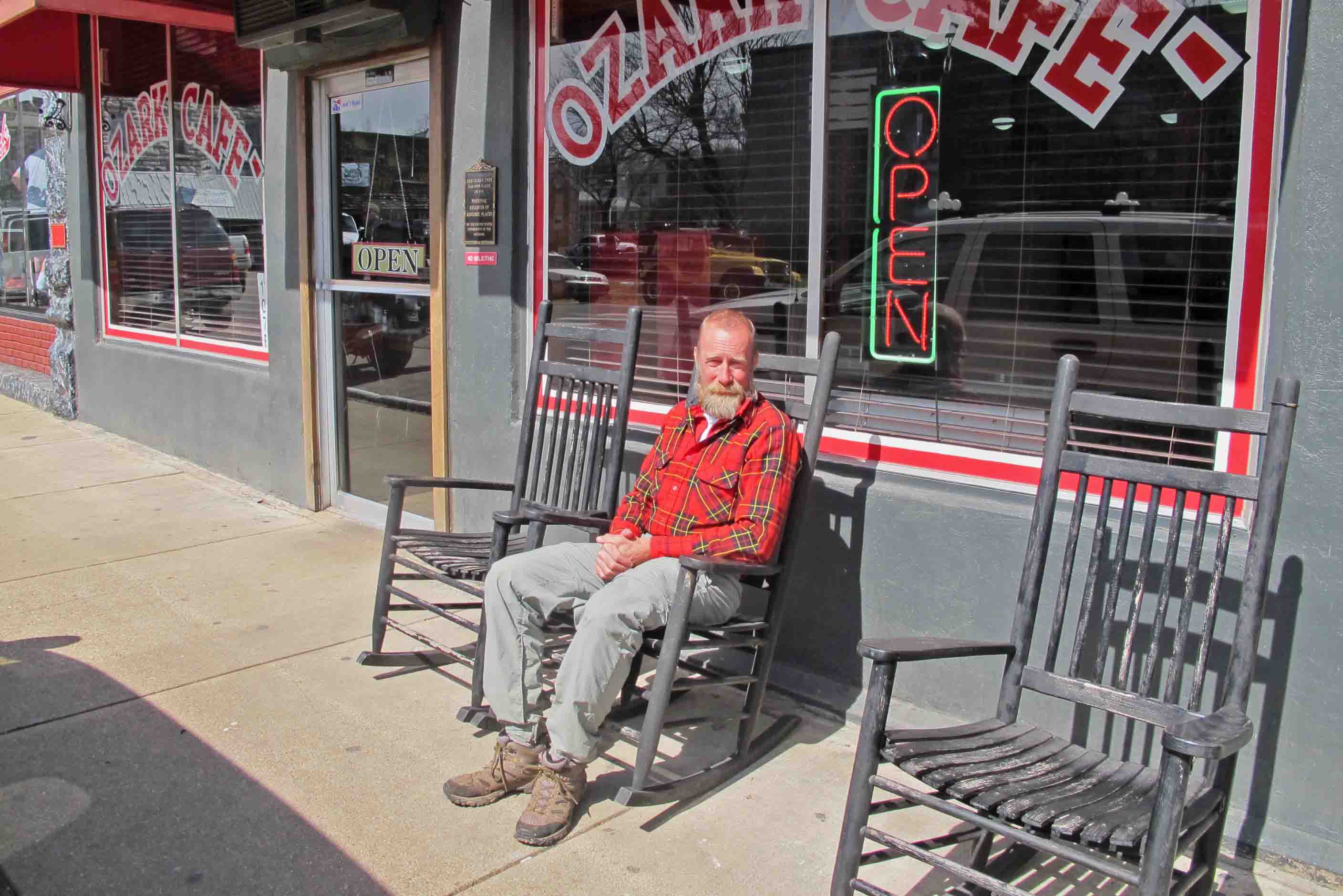
The perfect ending for our four-day trek was a meal at the Ozark Cafe in Jasper. The food is good and they’re used to serving grungy hikers and floaters coming out of the Buffalo River area.

Bob at the Ozark Cafe in Jasper