Arkansas Master Naturalists Learning Paths

IMG_8639rr

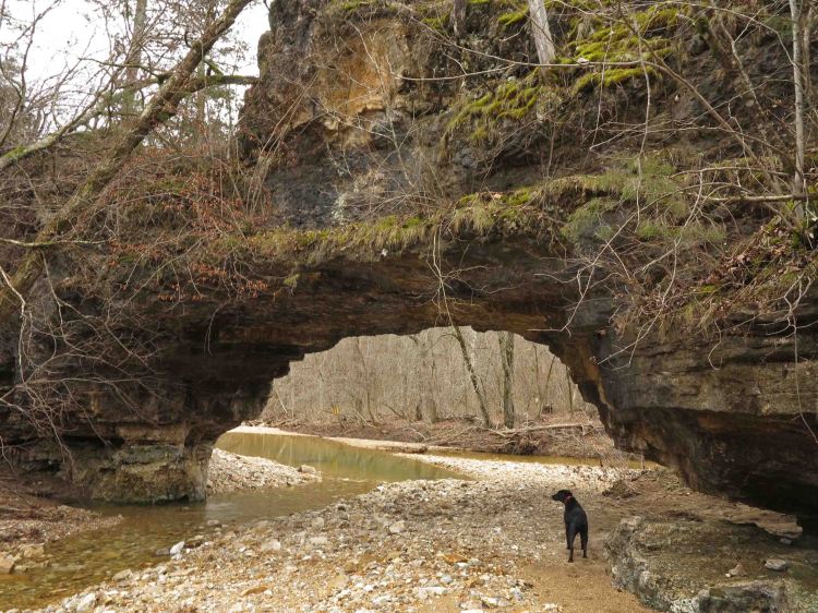
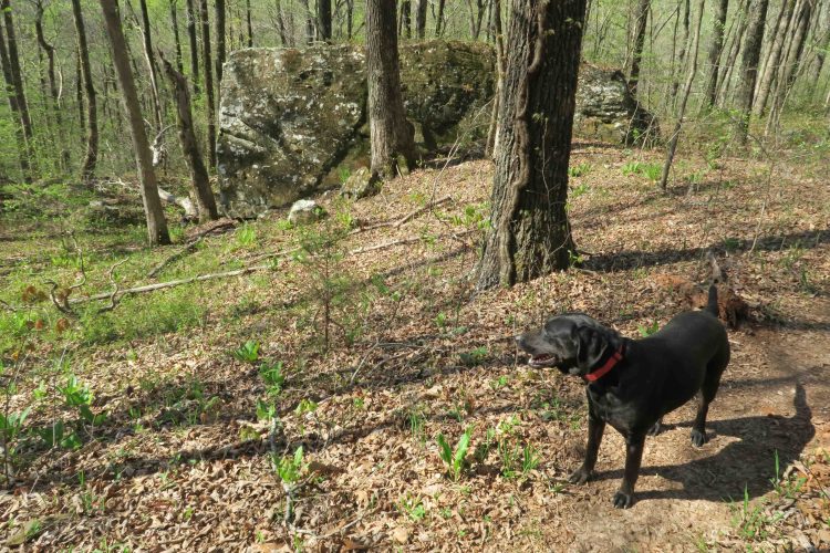
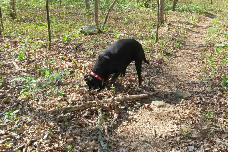
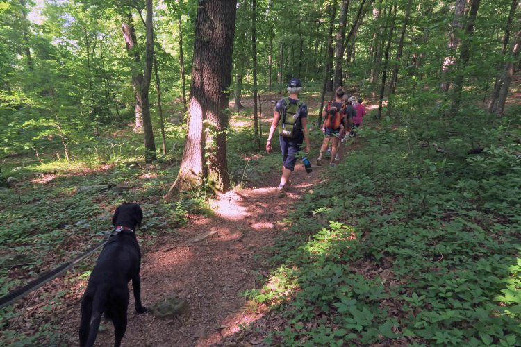
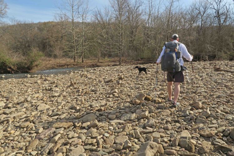
A leashed Hiker-dog on a kid-friendly hike.

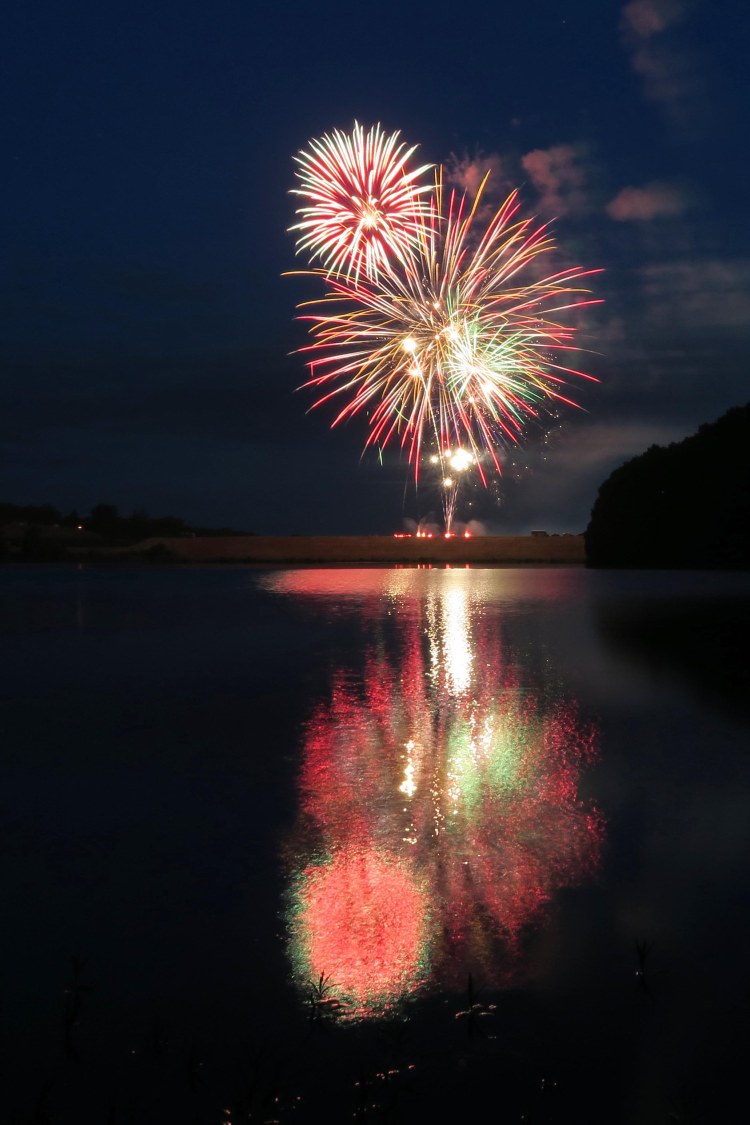
Arkansas Master Naturalists participated in the June 2 National Trails Day, so members led several hikes around the state and shared their love of the environment.

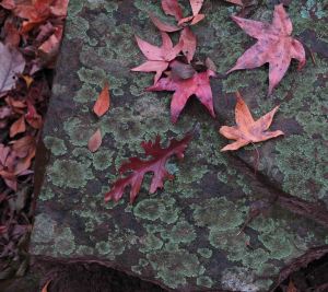
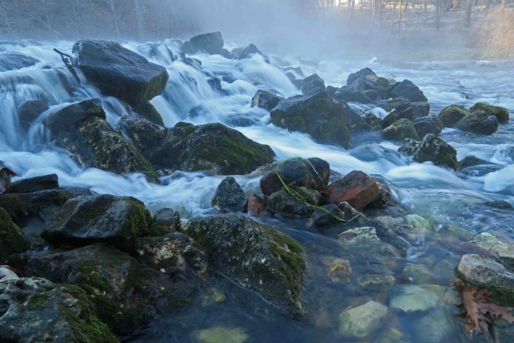
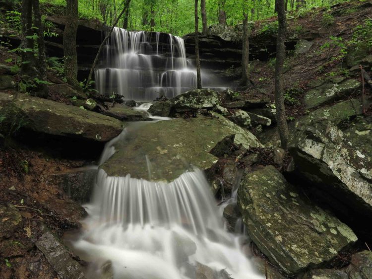
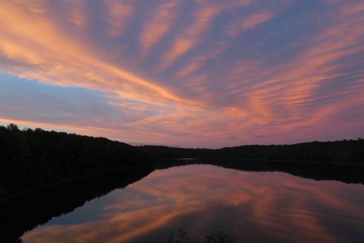
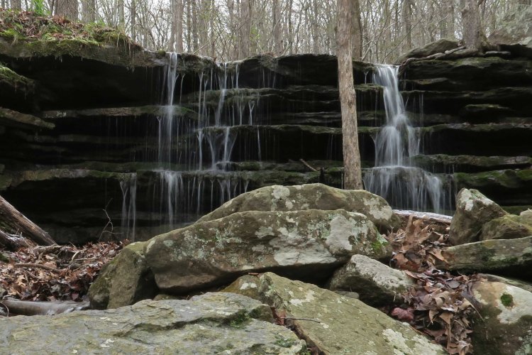
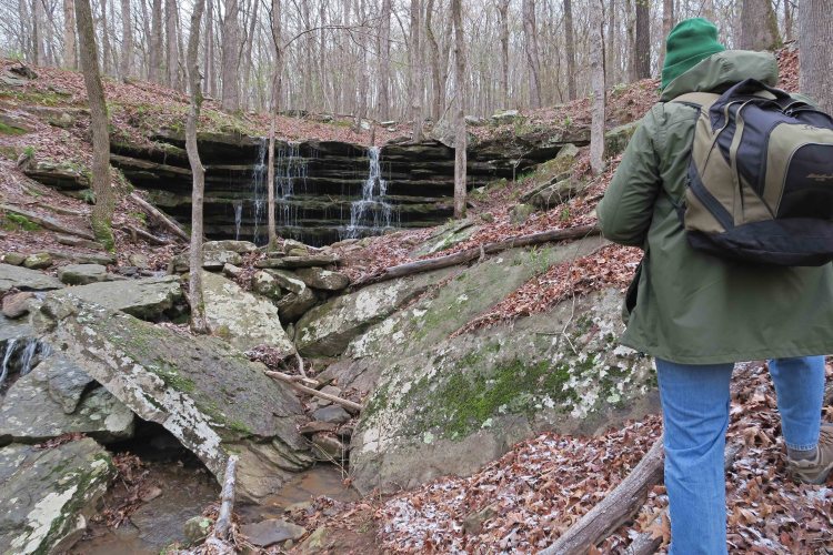
I participated by leading a kid-friendly hike on part of the Shepherds Spring Loop Trail at Lake Fort Smith State Park. With the heat, a short out-and-back hike was the best option and made it a fun outing for folks at all experience levels.

Becoming involved with Arkansas Master Naturalists placed me with a group of people who share a commitment to conserving and improving Arkansas’ environment and beauty. I’ve benefited from the expertise of members and look forward to continued learning. They are true to their mission of “providing education, outreach, and service” to benefit the natural environment of Arkansas.

Ark Master Nat logo

When I first got involved, I attended all the training possible and volunteered where I could, not completely understanding how my actions would lead to certification.

To help my understanding, I made graphic organizers to communicate the process of becoming a Certified Master Naturalist and the Continuing Education to maintain certification each year.

The first graphic shows the path from being a Naturalist in Training (NIT) to certification. It made me happy that the trainers decided to use this graphic as part of the Naturalists in Training materials. I appreciated Care Butler’s suggestions as I revised these to be as clear as possible.

Master Naturalist graphic0118

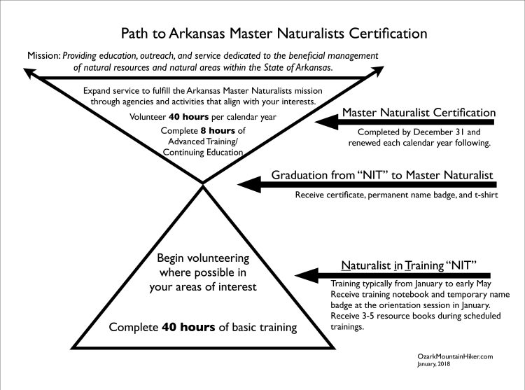
The graphic below shows the required Continuing Education and volunteer hour requirements to meet annual certification requirements. Read the pages from bottom to top to follow the sequence for becoming certified or continuing annual certification.

Master Naturalist graphic adv training0118

If you enjoy the rich natural environments found in Arkansas, get involved with the Arkansas Master Naturalists. You’ll immediately be immersed in an exceptional group of like-minded folks where you can contribute according to your interests. Through learning and volunteering, you’ll positively impact the natural world in your own backyard, and have a lot of fun in the process!

WordPress Photo Challenge: Favorites

WordPress Photo Challenge: All-Time Favorites 

IMG_2198rr

Fireworks at Lake Alma

Sometimes a “favorite” photo is associated with my pleasure at getting the shot or some technical aspect as with the fireworks above or the waterfall below. The waterfall photo has been on a magazine cover and is on the back cover of my Ozarks guidebook.

IMG_9675rr

Shepherd Spring Waterfall

More often, a “favorite” photo is more about the experience or emotion I felt when capturing the image. The photos that follow provide anchors to memories.

IMG_3798rr

Breakfast at Wanda Lake (John Muir Trail)

IMG_4911rr

Selfie from the top of Mount Whitney

IMG_0566rr

Reflections from sunset over Lake Alma

IMG_5193rr

Ouachita Trail thru-hike 2018

IMG_4368rr

Ozark Highlands Trail thru-hike 2014

Is it a coincidence that the only two heart-shaped frost flowers I’ve ever seen were alongside my two Arkansas long trail thru-hikes? Even with all of the expansive views on these two trails, the frost flowers are significant anchors to my memories of these long treks.

Little Gems Along the Trail

IMG_7052rr

Hiker-dog getting ahead of me

On Friday, April 13th, a tornado damaged several homes and buildings in Mountainburg, Arkansas, about eight miles from my adopted section of the Ozark Highlands Trail. I was anxious to see if winds had caused damage to the woods, so Saturday morning Hiker-dog and I headed out, wondering what we’d discover.

What we found was an open trail with temperatures in the mid-40s. It stayed cool all day as the sun peeked from behind puffy clouds. Quite a contrast from the ominous storm clouds of the afternoon before!

IMG_7081rr

IMG_7085rr

I was thankful for little gems that sparkled with color alongside the trail. In spite of the cold, several patches of Mayapples greeted us with a few hidden blooms below their leafy umbrellas.


IMG_7056rrDwarf Crested Irises were starting to open and share their pinks and purples.

Later in the day, we passed full blooms, their petals raised toward the sunshine.

Because of the influence of my Arkansas Master Naturalists friends, I now read about the plants I see and was interested to learn that Native Americans used the roots of this Iris for medicinal ointment and tea. IMG_7099rr

Just as I was sensing relief that the trail was intact, unnatural objects started to appear. By the end of our 8-mile out-and-back, my daypack was full of hard foam insulation that had blown over from Mountainburg. I tossed the debris and a little trash on the truck floorboard at the end of our hike.

IMG_7202rr

Several pages of text also appeared next to the trail. I found myself reading these little snippets with interest. I photographed each of the pages then slipped them into my pocket. Were they trash or did they add meaning to today’s walk? Probably a little of both. I did think the chapter title on one page was appropriate given what brought it here.

IMG_7091rr

Excerpt from The Hobbit

IMG_7145rr

The first line of this sliver of a page might apply to several backpacking trips from the past when challenges grew with the accumulating miles.

IMG_7125rr

Jack Creek next to a campsite

I was interested to see the campground at mile 5 of the OHT. It’s an easy hike from Lake Fort Smith State Park and gets trashy sometimes. The area was clean today and carefully inspected by Hiker-dog.

IMG_7116rr

IMG_7129rr

Open views above Jack Creek

IMG_7140rr

Repeated crossings of tributary streams are a special treat on this section of trail. These pretty drainages all flow into Jack Creek as it makes its way toward Lake Fort Smith. One of my favorite stops crosses a flat rock stream. Its slippery surface is avoided by crossing large boulders downstream.

IMG_7168rr

It was a beautiful day to be in the Ozarks. Thankfully, no one was injured by the tornado the previous afternoon. As a bonus, the trail was undamaged other than a few gems (or trash) brought over by strong winds.

Always Something New to Explore

IMG_6970rr

This is a favorite loop trail in Northwest Arkansas and the beginning of the Ozark Highlands Trail (OHT). When Mike asked about doing this section, I immediately thought of the recent rains and coming colder temperatures and said, “Yes!” I didn’t realize that Mike hadn’t done this path, so I had fun watching him discover new trail.

IMG_6976rr

Mike viewing the waterfall

IMG_6978rr

Snow collected on Mayapples

It was 31 degrees at the trailhead and sleet mixed with light snow was falling. This was unusual for early April in Arkansas.

Mike commented that he thought I needed more clothing. Thinking I’d warm up in a few minutes, I’d left a down vest in my pack. The cold felt good, especially when I thought of how much I would wish for these temperatures in a couple of months.

The Shepherd Spring Loop was one of the first trails I wrote about for Five Star Trails: The Ozarks. I remember how Hiker-dog and I enjoyed walking this trail and how excited I was to share it with others.

IMG_6982rr

Mike discovering an old homesite

Mike asked about Shepherd Spring and if it was close to the trail. I said I’d let him know if he walked past it.

IMG_6990rr

IMG_6993rrMike got the joke when he reached the spring which was flowing nicely. Hiker-dog took a long drink from the spring.

The second chimney came into view and conjured up thoughts about the families that once lived here sharing the nearby spring. I could almost picture children running through the woods and climbing into the spring to cool off.

IMG_6997rr

Great example of craftsmanship and hard work

We decided to check water levels where the OHT crosses Frog Bayou. It could be easily crossed at this point, but conditions can change quickly.

IMG_7002rr

Frog Bayou crossing

As we returned to the loop trail, Mike noticed a side stream flowing nearby. I couldn’t resist stopping for a photo as I enjoyed the soft sounds of flowing water.

IMG_7003rr

IMG_7008rr

I’m always amazed by big rocks. The upper bench part of this loop has no shortage of large boulders.

IMG_7009rr

From the top of this flat rock overlook, you can see the inlet of Jack Creek and view the valley that holds the OHT where it continues on toward the east for a couple of hundred miles.

IMG_4834rr

Dairy Dream in Mountainburg.

This 6-mile hike was just what the doctor ordered for both of us. We stopped at the Dairy Dream to pick up a couple of Mountainburgers. This was my first Mountainburger, and it was delicious!

Mike commented that we’re lucky to have so much beauty and so much to do in our part of the state. There are always new trails to explore and new sandwiches to enjoy afterward!

Never the Same Trail Twice

IMG_6521rr

Nick and Hiker-dog crossing Frog Bayou

Hiking buddy, Nick, said he needed some time on the trail and wondered what section we might try. Hiker-dog had never done the few miles from Dockery Gap to White Rock Mountain, so we decided to do Lake Fort Smith State Park to Fane Creek, just over 30 miles.

This route included new miles for Nick and Hiker-dog but repeats for me. As we walked this familiar path, I remembered once again that we never walk the same trail twice.

IMG_6511rr

Nick checking out the fire bricks inside the remnants of one homesite along the trail.

IMG_6532rr 
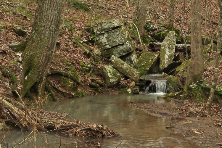
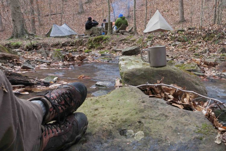
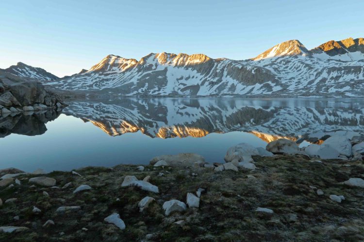
Water was plentiful. This was my first filterless backpacking trip using only water treatment drops, so I enjoyed “selecting” my water from any number of small streams we passed.

IMG_6559rr

Little Hurricane Creek

IMG_6569rr
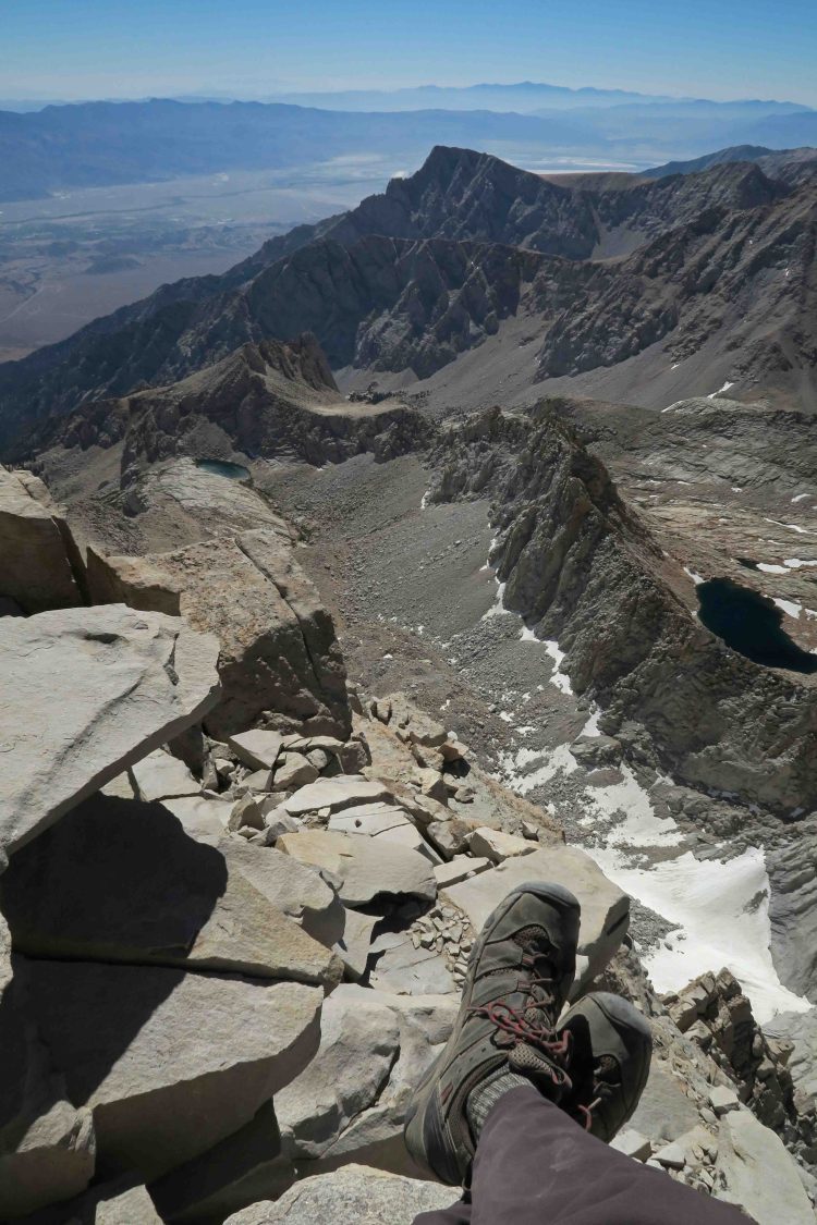
We met a family camped at mile 10. While visiting with the father, Luke, I was impressed with his two young daughters’ ability to run without pain barefoot through the woods.

The next day we met two backpackers, Nick and Foster, from Kansas who’d camped in the area and were continuing on the OHT the next day. As we approached White Rock Mountain, a young man with a group called out, “Is that Hiker-dog?” She’s such a celebrity. Turns out, Chris had picked up a copy of Five Star Trails: The Ozarks, and met Hiker-dog at the Hare Mountain Hike-In. We expected a social hike due to the time of year and enjoyed meeting good folks on the trail.

IMG_6556rr

For the first evening meal I boiled red potato slices a few minutes then added a Knorr side dish that cooked quickly. Good stuff!

On the second night at Salt Fork Creek, I used instant potatoes combined with a slice of Spam. Quick, easy, and light.

IMG_6611rr

Hiker-dog enjoyed a nap early in our second evening as a soft rain began to fall. Stronger storms and a beautiful lightning show followed later during the night, although not enough to raise the level of Salt Fork or Spirits Creek by more than an inch. 

IMG_6651rr

Nick and Hiker-dog crossing Spirits Creek

As Nick crossed Spirits Creek, I thought back to my thru-hike with Bob a few years ago. A heavy rain raised the creek level enough to cause us to pay careful attention while crossing. Never the same trail twice…

Below is another example of how different the same trail can be depending on conditions. Early in our hike, the Shepherd Springs Waterfall was a trickle in bright sunshine. On a previous visit during a wet springtime day, I got one of my favorite photos of this same waterfall. Part of the pleasure of the OHT is repeated visits during varied conditions and seasons. In the Ozarks, just when you think you know a trail, you realize it has something new to reveal.

Word of thanks to Ozark Highlands Trail Association volunteers: The photo below right shows the obvious work of trail maintenance volunteers who hike in with chainsaws and cut out obstacles. The photo on the left shows a full day’s work by several volunteers although it would be easy to walk by without notice. At one time, water flowed across the trail continually washing it out and making this a difficult spot. Volunteers trenched an alternative route for the water, directing it away from the trail and toward a culvert that channels water under the adjacent road. They’d be proud of how well this erosion fix is working.

Ozark Highlands Trail Inside Bella Vista

The title of this post is a little misleading. The Ozark Highlands Trail write-up is inside the magazine, Inside Bella Vista. I’m pleased to have a couple of photos and quotes in Lisa Florey’s article about the OHT. She did a excellent job telling this beautiful trail’s story. Begins on page 18 of the online publication.

OHT-Lisa-Florey_1

This waterfall on Shepherd Spring Loop Trail is from my book, Five Star Trails: The Ozarks.

I’m looking forward to sharing the first 160 miles of the Ouachita Trail on Sunday, February 11th at 6 p.m. The Ozark Highlands Trail Association meeting is free and open to the public.

Location: Washington County Extension Office at 2536 McConnell Rd. in Fayetteville, Arkansas. To get there from I-540 take Exit 66 south on AR 112 (Garland Ave), turn west at Drake Street stop light to reach McConnell Rd, turn south to WCES near the fair grounds. For gps users: 36.098 latitude 94.180 longitude

The Ozarks – more feedback from readers

dyer-lfs-0117r
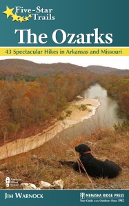
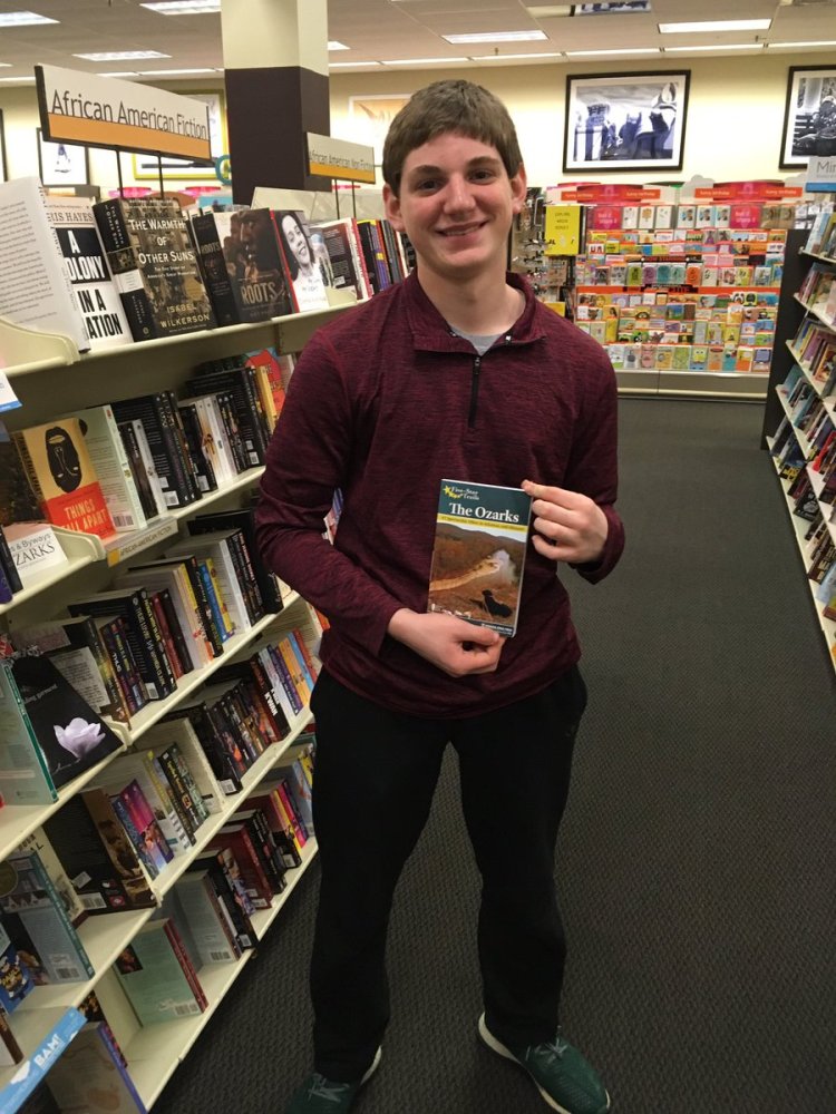
“Enjoyed the great outdoors at Lake Fort Smith yesterday using our copy of Jim Warnock’s book, The Ozarks! We’re already planning future hikes with it too! 10/10 would recommend purchasing it! All we needed was our own Hiker-dog!”  – Trey, Delaney and Darian

Wish these kids could have seen the smile on my face when I receive their message and photo. My biggest kick comes from seeing my book on the trail. Knowing it’s relevant to these energetic young people is a bonus. Below are comments for The Ozarks posted on Amazon.com. I’m thankful that hikers are liking my two-year labor of love!

img_8858rr

Seeing The Ozarks at Pack Rat in Fayetteville was a thrill!

Ozarks Dax bookstore

Former student, Dax, found The Ozarks in Hot Springs

screen-shot-2017-01-14-at-7-58-59-am
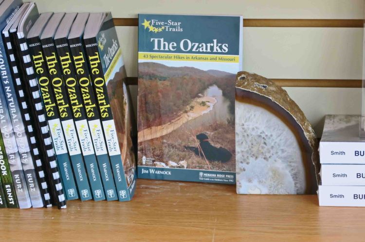
The best trail book I’ve ever read. That’s comparing others written for Northern CA to Maine, and everything in-between. This guide not only offers suggestions for day hikes, but how get there, what to expect on the trail, side-trails to hit or skip, how far to civilization to stock up on supplies, and noteworthy places to stop and gawk when on the road from here to there.

screen-shot-2017-01-14-at-7-58-59-am This is a very helpful book for anyone interested in hiking in the Ozarks. Whether you are a beginner or an avid hiker there is an Ozark trail here for you. We are especially interested in the Mulberry and Buffalo rivers and were happy to see that several of the trails are in those areas. Looking forward to seeing how many of these we can mark off our list in the upcoming year…

screen-shot-2017-01-14-at-7-58-59-am I enjoy hiking and found Jim Warnock’s guidebook an excellent source for planning and making decisions about trails in the Ozarks. I have hiked some of the trails he described, but the additional information is greatly appreciated. I plan to continue making great use of the book for future adventures. Mr. Warnock displays great insights into enjoyable hiking adventures and it is certainly very evident he speaks from vast experiences in the great outdoors. I certainly appreciate his work on this publication and wholeheartedly recommend it to anyone interested in the beauty of the outdoors.

screen-shot-2017-01-14-at-7-58-59-am Invaluable resource for nature lovers who would like to experience the great beauty of the Arkansas and Missouri Ozarks. Hikers will find the detailed information particularly helpful.

screen-shot-2017-01-14-at-7-58-59-am I am a hiker and I gave this as a gift to another hiker. She has used the book and loves it.

screen-shot-2017-01-14-at-7-58-59-am Excellent read. Planning already.

Visit my author page on Amazon to see reviews and my book signing schedule.

Why the Ozarks?

devils_den_yellow_rock03

Yellow Rock Bluff, Arkansas

While selecting photos for a presentation to the Trailblazers of Fort Smith, I realized the Ozarks could hold their own following the High Sierras of California. The day of the program, photos transitioned smoothly from the John Muir Trail to the Ozarks and the audience appreciated the beauty and uniqueness of both regions without any “let down” as we moved into the Ozarks.

Why the Ozarks?

How about an extended hiking season and a variety of beauty? When mountainous regions around the United States are becoming impassable due to snow, the Ozark Mountains are beginning their long hiking season with a fall transformation to red and golden foliage.

IMG_3581rr

Alley Spring, Missouri

Lake Alma Sunset

A fall sunset over Lake Alma in Arkansas

Fall leaves on rock

Fall color on sandstone

As winter approaches and leaves drop, majestic vistas and towering rock formations are revealed.

IMG_7117rr

Pedestal Rocks Scenic Area, Arkansas

IMG_0108rr

wild iris

Seasonal rains bring beautiful waterfalls year round but especially in the spring when wildflowers sparkle throughout the region, especially in open glades and along steep hillsides.


IMG_5170rr

Long Creek Falls, Missouri

IMG_9675rr

Shepherd Spring Waterfall at Lake Fort Smith State Park, Arkansas

Natural springs flow year-round, often showing some of their most lovely character during the “off season” of winter. You’ll also find smaller crowds in the Ozarks during the winter months.

IMG_9534rr

Cascade below Maramec Spring, Missouri

I’m often asked my favorite trail. My answer is, “The last trail I hiked.” While I do enjoy the larger than life bucket-list trails offered by California, Arizona, Colorado, New Mexico and Montana, I always look forward to returning to the Ozarks. They hold their own in comparison with landscapes anywhere in the United States. If you’re looking for scenic beauty, an extended hiking season and smaller crowds, explore the Ozarks!

IMG_5261rr

Clifty Creek Natural Arch, Missouri

mt_kessler_rock_city_spellbound04

Kessler Mountain Rock City, Arkansas

big-spring-1

Big Spring, Missouri

IMG_4163rr

Young hiker taking in the views near Whitaker Point, Arkansas

IMG_9805rr

Early morning coffee in the Ozarks

5-Star Ozarks cover

If you want to explore some of the trails pictured in this post, check out Five Star Trails: The Ozarks.

One Good Trail is Enough

IMG_0108rr

It had been several months since I checked my little adopted section of the Ozark Highlands Trail. My last two visits were in July and then again in September. Mike LeMaster cut a number of trees off of the trail in July and then Steven Parker did some more chainsaw work recently. I’ve had some expert help in maintaining this trail!

IMG_0084rr

Mile marker close to Dockery’s Gap

This little piece of the OHT has become special to me. It runs from Old Locke Road (FR 1007) at the Dockery’s Gap Trailhead, west to a campsite next to Jack Creek at mile-5 of the OHT.

When the new Lake Fort Smith State Park was being built, this piece of trail was abandoned, and the beginning of the OHT was at Dockery’s Gap. I liked hiking the closed trail and marked sections with survey tape to make the route easier to follow. Sometimes I’d saw small trees off the trail to keep it passable. When this section of trail reopened around 2008 after the completion of the new state park, I adopted the 4-mile section.

IMG_0184rr

Jack Creek

About three years ago, I realized just how strong my sense of ownership was when I discovered that some campers had trashed a special spot on the trail. I cleaned it up while cursing under my breath. I describe this incident in Jack Creek Criminals. It felt like a personal attack that someone would have so little respect for “my” section of the OHT!

IMG_0141rr.jpg

Hiker enjoyed the trail and cool air.

Today, Hiker-dog and I walked from Dockery’s Gap to Lake Fort Smith State Park where my wife, Becca, would meet us. Wildflowers were popping, creeks were flowing, and the sun was shining through cool, crisp air. It was a magical day and every step held beauty. I felt like I barely knew this trail as if hiking it for the first time.

Sometimes I’ll say, “I’ve done the OHT,” meaning I’ve hiked the 180 miles from Lake Fort Smith to Tyler Bend. I’ve “done” the section from Dockery’s Gap to Lake Fort Smith many times. What I can’t say is “I know this trail.” Today taught me that I never “know” a trail. Each mile has something new to offer every time I walk it. My life would be plenty full with just this little stretch of Ozarks landscape. One good trail is enough! 

…..

As I approached Lake Fort Smith, I met a hiker from Joplin. It was his first time on the OHT, and he was pleased with his new map. I enjoyed telling him that he was standing on the section adopted by Kristian Underwood, the cartographer responsible for the OHT maps.

IMG_0242rrr

Map by Underwood Geographics

Below are a few photos from today’s hike.

IMG_0135rr

Hiker unsuccessfully seeking a mole.

IMG_0175rr

Hiker-dog inspecting a very clean campsite at Jack Creek. The group was from Kansas City, MO.

IMG_9875Hikerpaw23

I enjoyed giving out a couple of bookmarks with Hiker-dog’s “signature.”

IMG_0150rr

Wild iris on the trail

IMG_0145rr

Looking into Jack Creek drainage and the mountain ridge on the other side with new leaves on the hardwoods

IMG_0156rr

Boulders broken by time and the elements

IMG_0222rr

Crossing Frog Bayou that feeds Lake Fort Smith

I’ll end with a few photos of history along the trail approaching Lake Fort Smith and next to the lake.