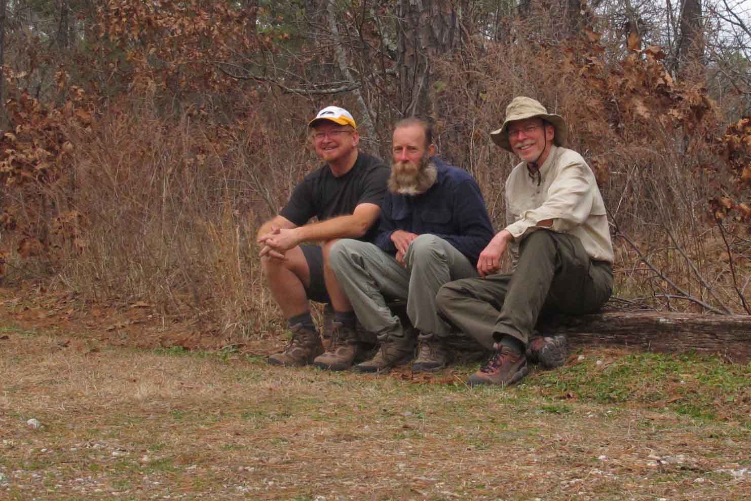
The idea of this hike began with a recurring and nagging thought over a period of months… “I want to hike the Ozark Highlands Trail (OHT) end to end.” I had hiked most of the trail in pieces and random order but never in sequence from beginning to end. I planned to hike it alone but when hiking buddy Bob mentioned that he would like to join me I was pleased. He has great outdoor skills and he’s a strong hiker. As a practical matter, the trip becomes safer with a second person, especially since we have a compatible hiking pace and mutual respect for each other. We were pleased to welcome another fellow hiker and good friend, Steve, into our group for the second leg of the trip. We would have been happy to have him for the whole outing but his work schedule wouldn’t allow this.
We decided to do the OHT in two stages, taking a couple of days off for Christmas. As it turned out, heavy rains changed our itinerary and dictated that our last five days of hiking would occur later in January so we could avoid the Buffalo River crossing at Wollum.
We decided to do the OHT in three legs: Five days followed by two days for Christmas. We would then hike six days, completing the final leg in January with an additional five days.
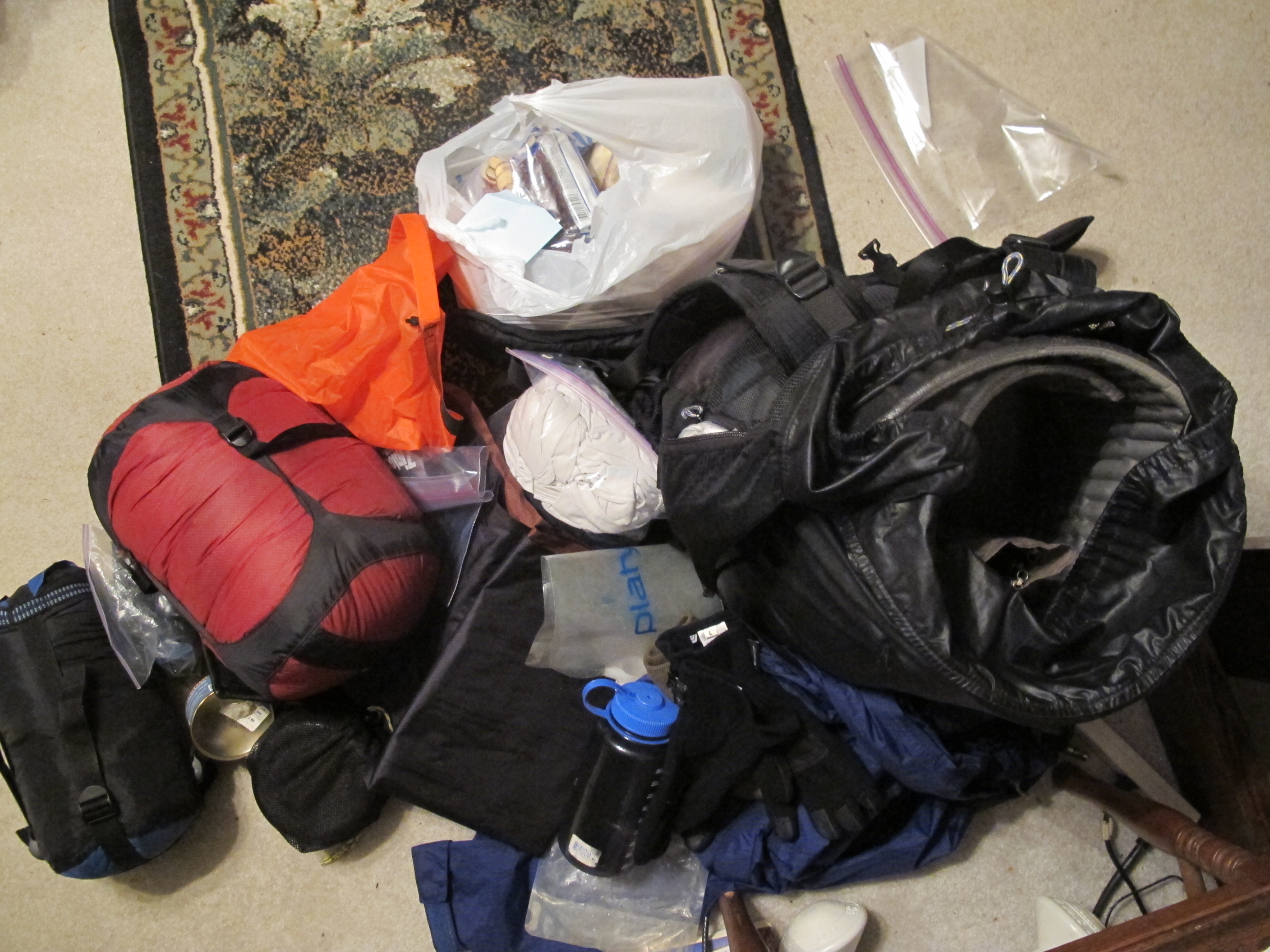
Planning and packing took lots of time but the anticipation is an important part of the enjoyment. Packing equipment is similar to other shorter trips. The challenge was to prepare food for 5-6 days of hiking at a time. I kept my dehydrator running for a couple of days with the goal of avoiding commercial dehydrated meals and their high salt and funky taste.

Dehydrated gold potatoes
Determining which clothes to pack was a challenge. Winter in Arkansas can bring a range of temperatures. Nighttime temperatures were expected into the twenties with daytime temps anywhere in the forties to sixties. One very important piece of equipment is a waterproof stuff bag. In this I place a base layer to ensure that I have dry clothes at the end of the day when I crawl into my tent. As an added step I place these clothes in a freezer ziplock bag.

Backpack pile taking form
In the above picture you’ll find my sleeping bag in a waterproof stuff stack, orange waterproof bag for clothes, tent, ziplock with base layer, food bag for one leg of the trip, stove, water, etc. This pile eventually takes shape after going over a checklist several times.

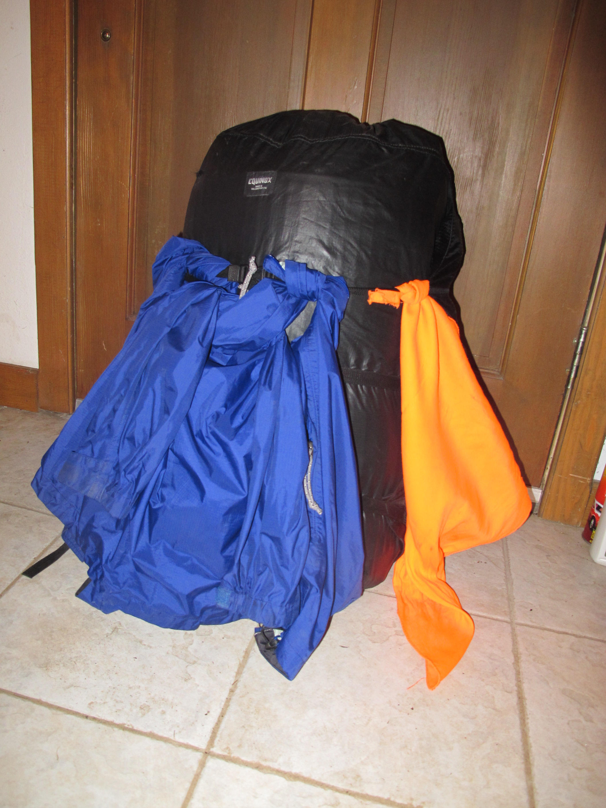
Backpack loaded and ready to go.
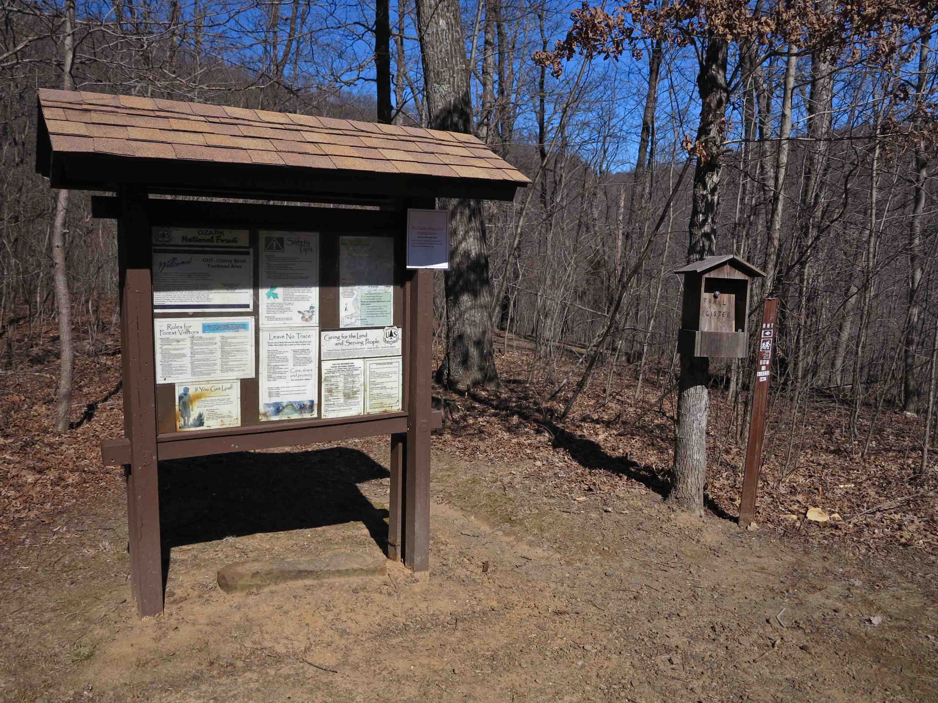
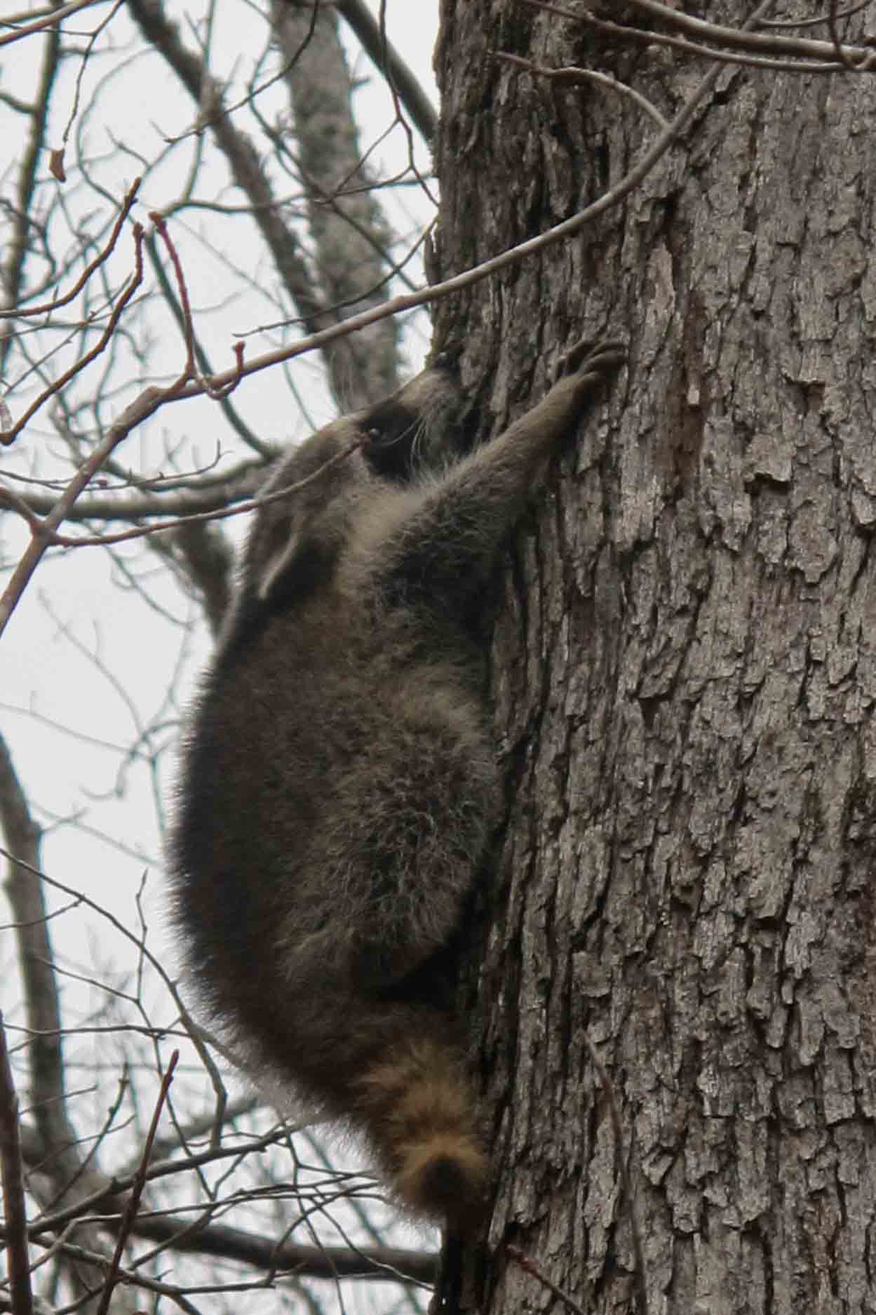
Finally we begin! Bob and I met at Lake Fort Smith State Park and stepped off of the concrete sidewalk leading to the beginning of the OHT. It felt good to be on the trail with only 180 miles to go. During the first few miles we saw three raccoon and a bald eagle.

Beginning

Raccoon next to the OHT.
One of many camping sites we were to see over the course of our hike. There was always an ample supply of water and firewood.

Making camp

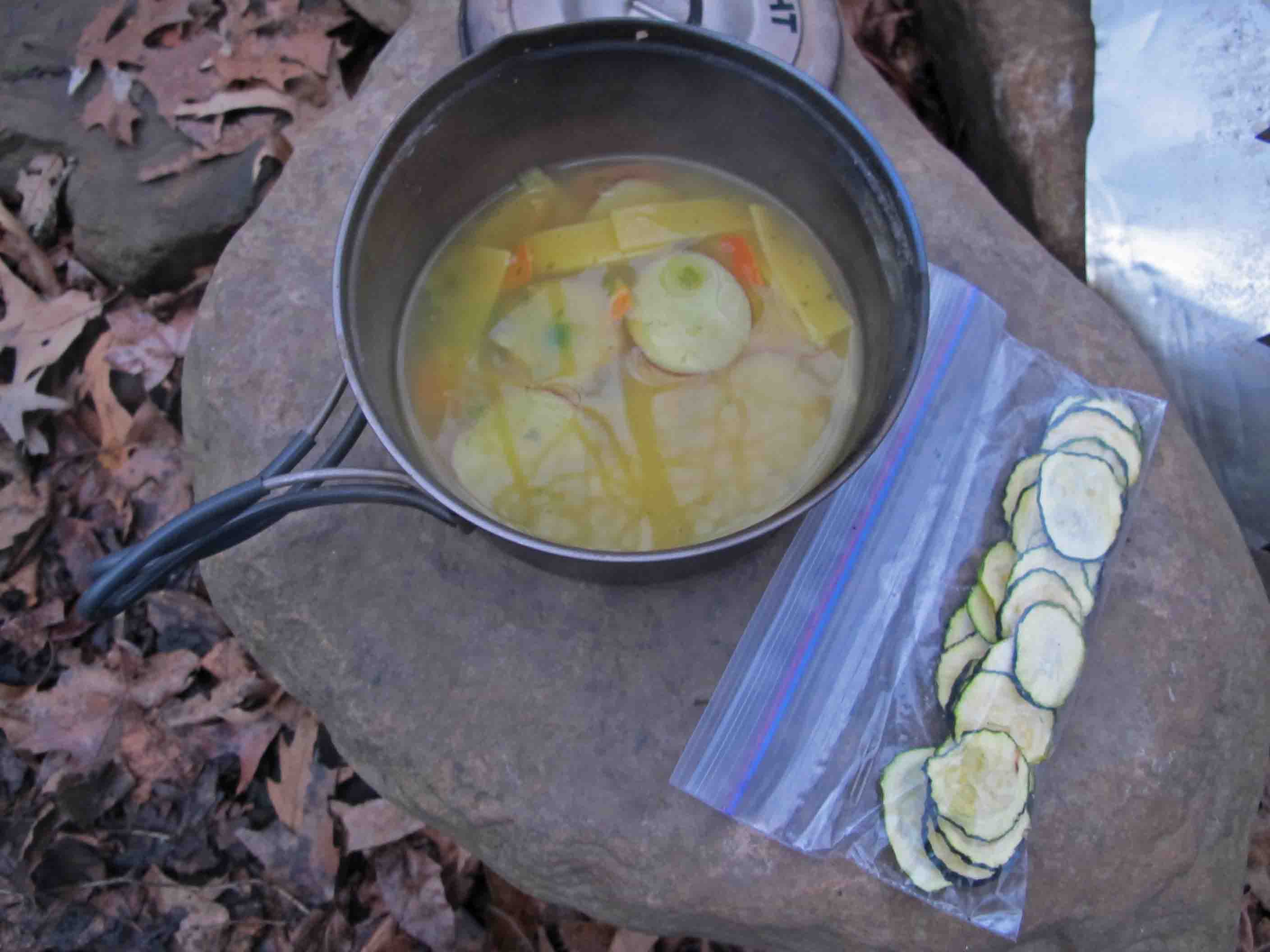
Dehydrated potatoes and squash
Yummy … I did discover that the potatoes are much better if allowed to re-hydrate for an hour or so before cooking. This wasn’t always possible which just resulted in chewy but tasty potatoes.

I carried a notebook and pencil and had great intentions of reflecting on each day and recording my thoughts. By about the second day I realized that this was unlikely. On a long hike, the days have a rhythm and flow to them. My “to do” list became very simple and consisted of doing things that related to meeting basic needs while on the trail. On my third night I wrote what was to be my “to do” list for the next eight days, “walk, eat, sleep, repeat.”
That pretty well summed it up so I put my pencil and notepad away and began focusing on the trail, not my thoughts about the trail. I let my mind fall into the natural rhythm of walking 6-7 hours each day. After making camp, filtering water and preparing the evening meal, I let my mind flow back over the trail and enjoy the scenery once more without any obligation to write about it or learn from it. I began to enjoy the natural silent times around the campfire when no one felt obligated to speak. A story or comment might come out of the silence but there was the luxury of time to really hear and think about what was said.
I commented to Bob and Steve that I was really struggling to get by with only eleven hours of sleep each night. By the time you sit around the campfire until 7:00 p.m. it’s been dark for almost two hours. Your body says, “Hey, I’m getting cold. Why don’t you get in that warm sleeping bag and let me rest!” I found that my body could use this extra time for repair and maintenance. The trail, combined with rest, added a new type of strength unlike what I felt from typical daily workouts.

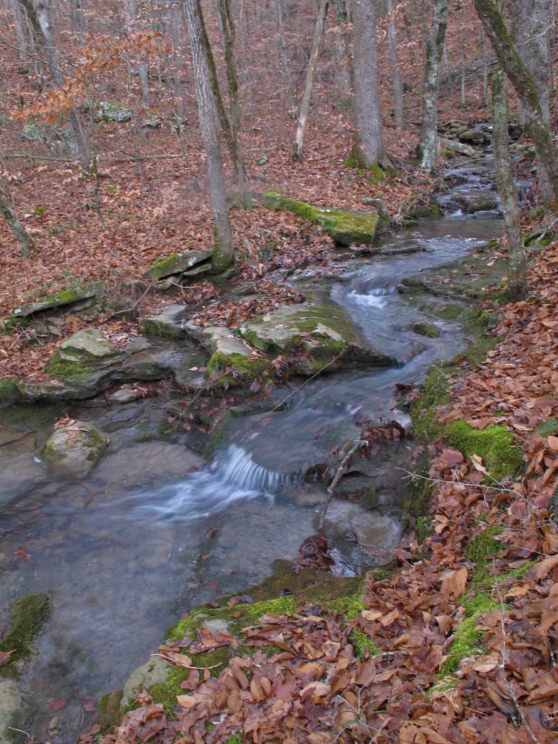
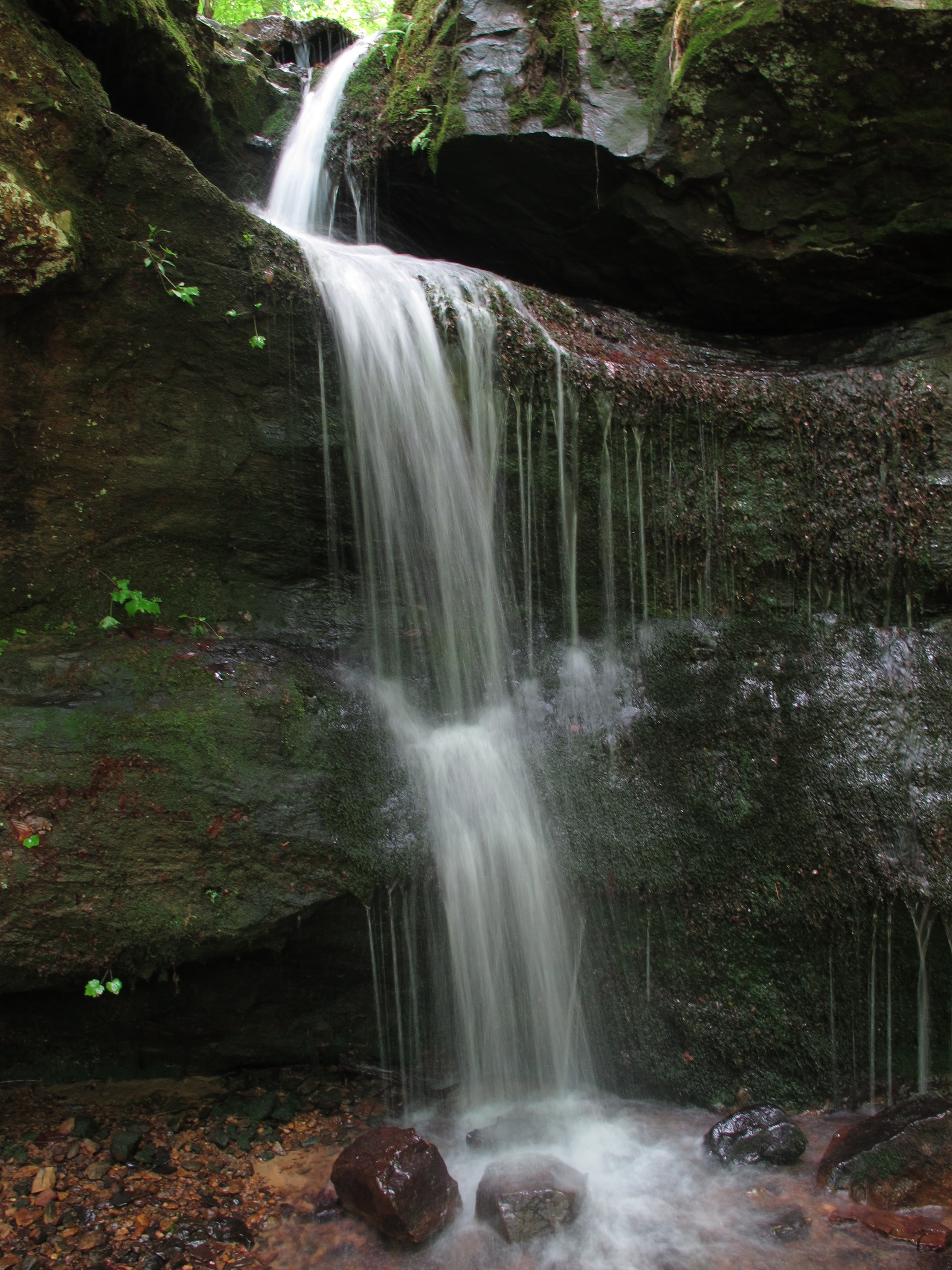
Falls along Spirits Creek

Crossing a swollen Spirits Creek
Day 2 and 3 brought light rain then heavy rain. I couldn’t resist taking a picture of Bob crossing Spirits Creek. He normally doesn’t use a stick whereas I use two hiking poles to stay erect while crossing creeks. His balance is impressive. On this day however, he used a stick to probe the floor of the normally clear Spirits Creek. Strong rains made all creeks cloudy with sediment. I was delighted to be on the other side.
I turned my camera to a waterfall spilling into Spirits Creek using a tree as a tripod. Then the camera was placed deep within my waterproof stuff bag for the remainder of the day due to rain. My only regret was failing to get a picture of what would have been our next creek crossing.
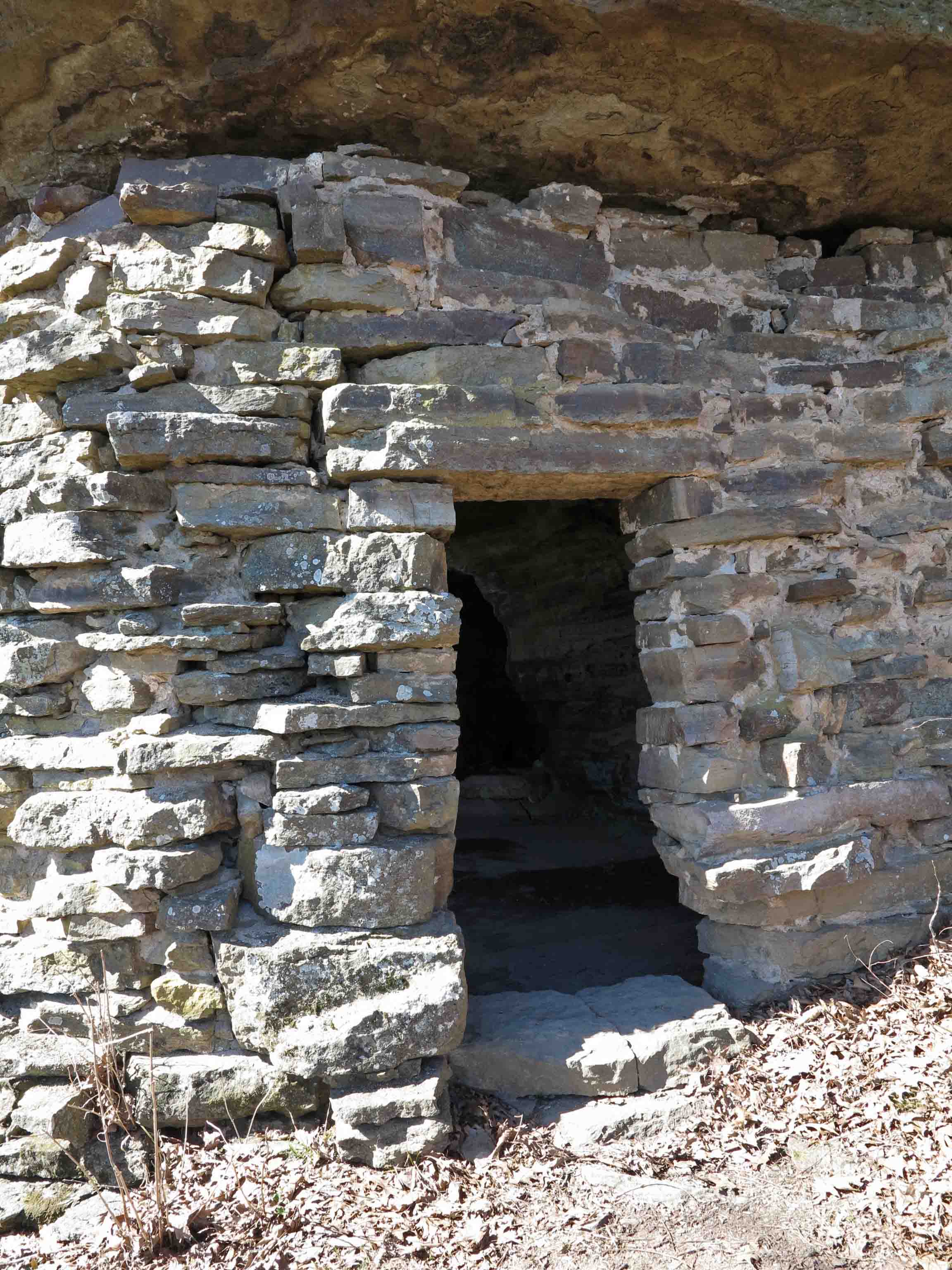
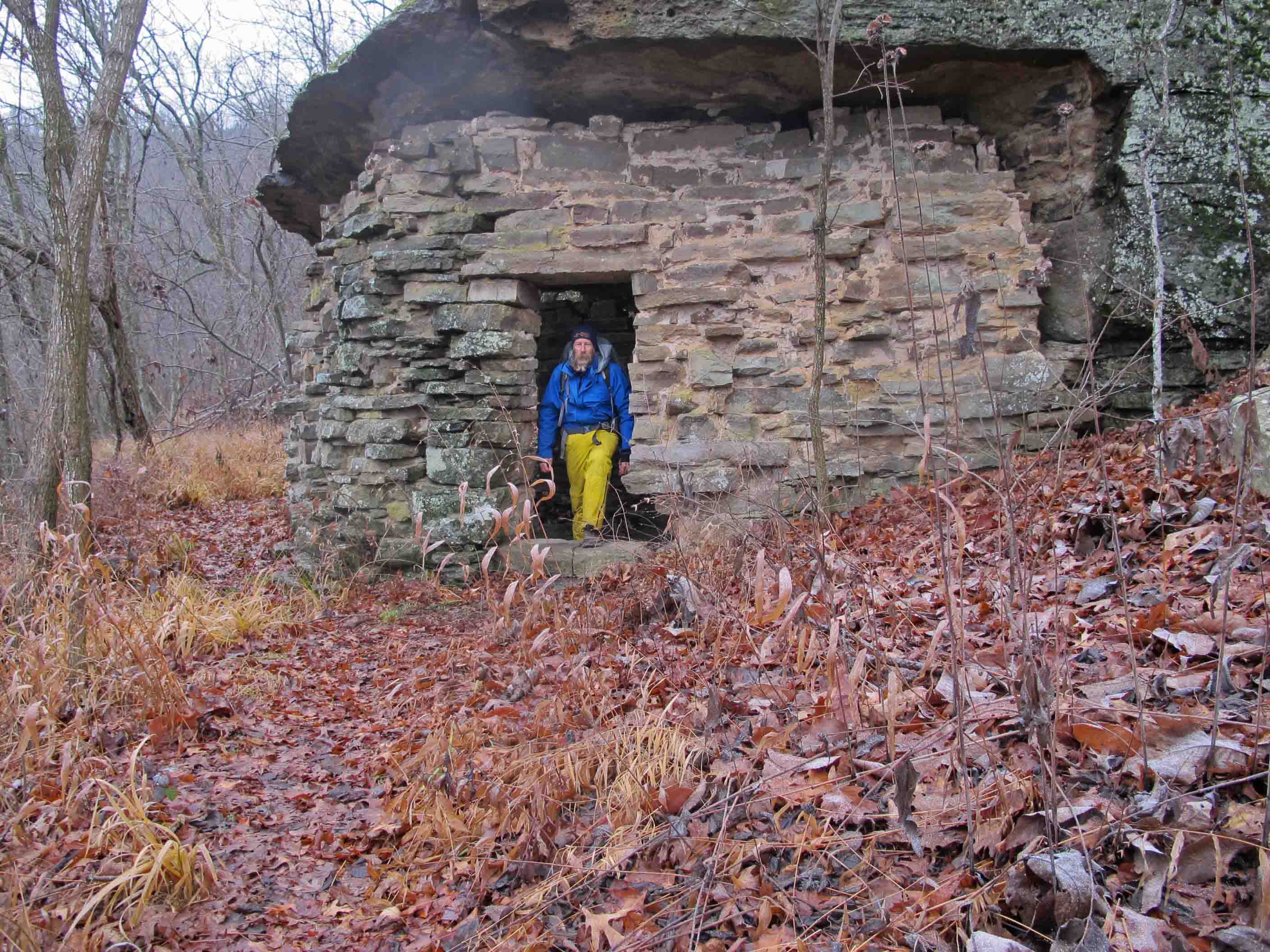
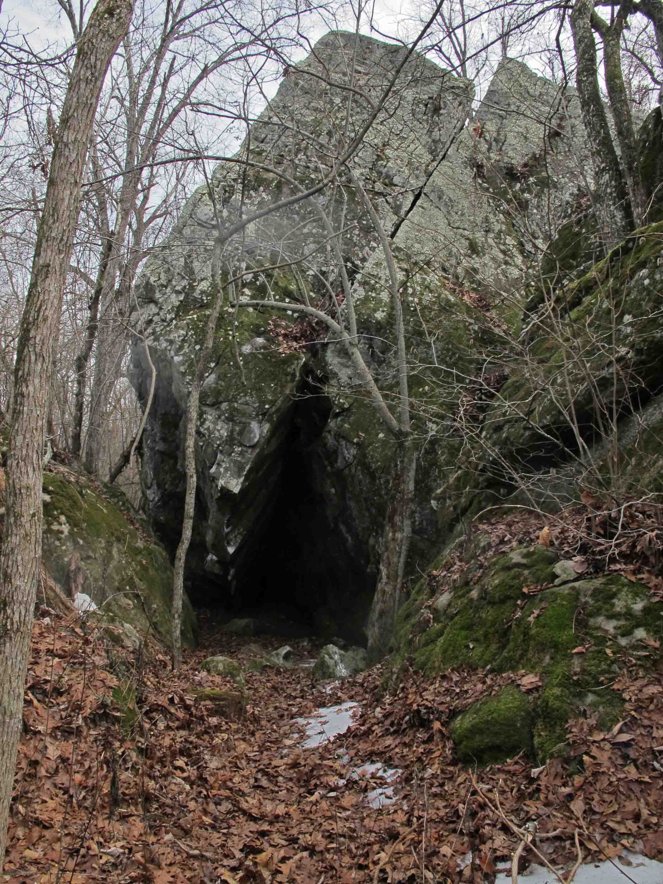
About five miles later, Fane Creek made Spirits look like a trickle. We ended up bushwhacking down the west side of Fane Creek for a half mile to a bridge and then following the road back to the trail to continue on. Seeing the Rock House was a relief. We were thoroughly wet, somewhat chilled, and hungry.

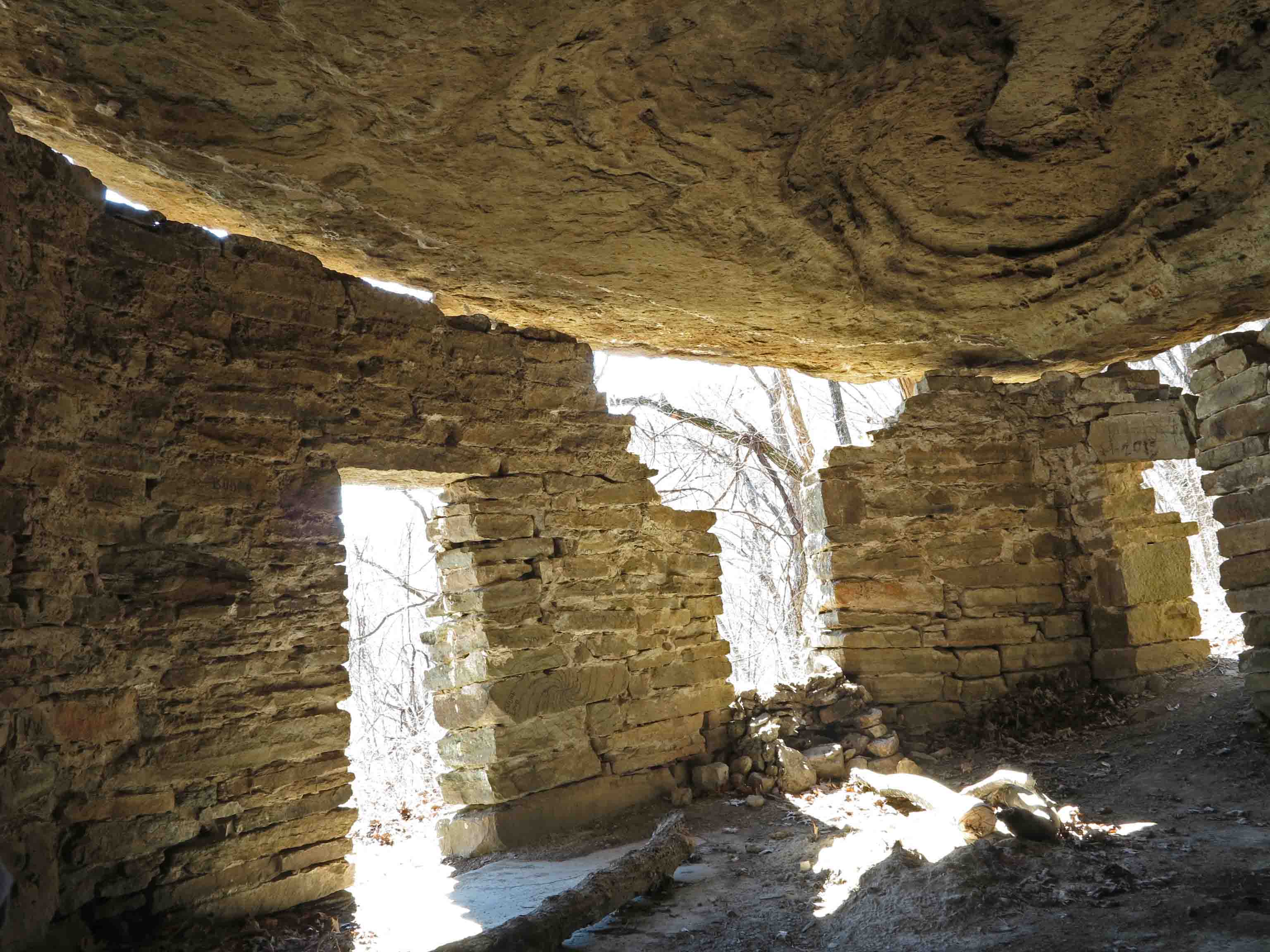
Refuge from the rain in the Rock House

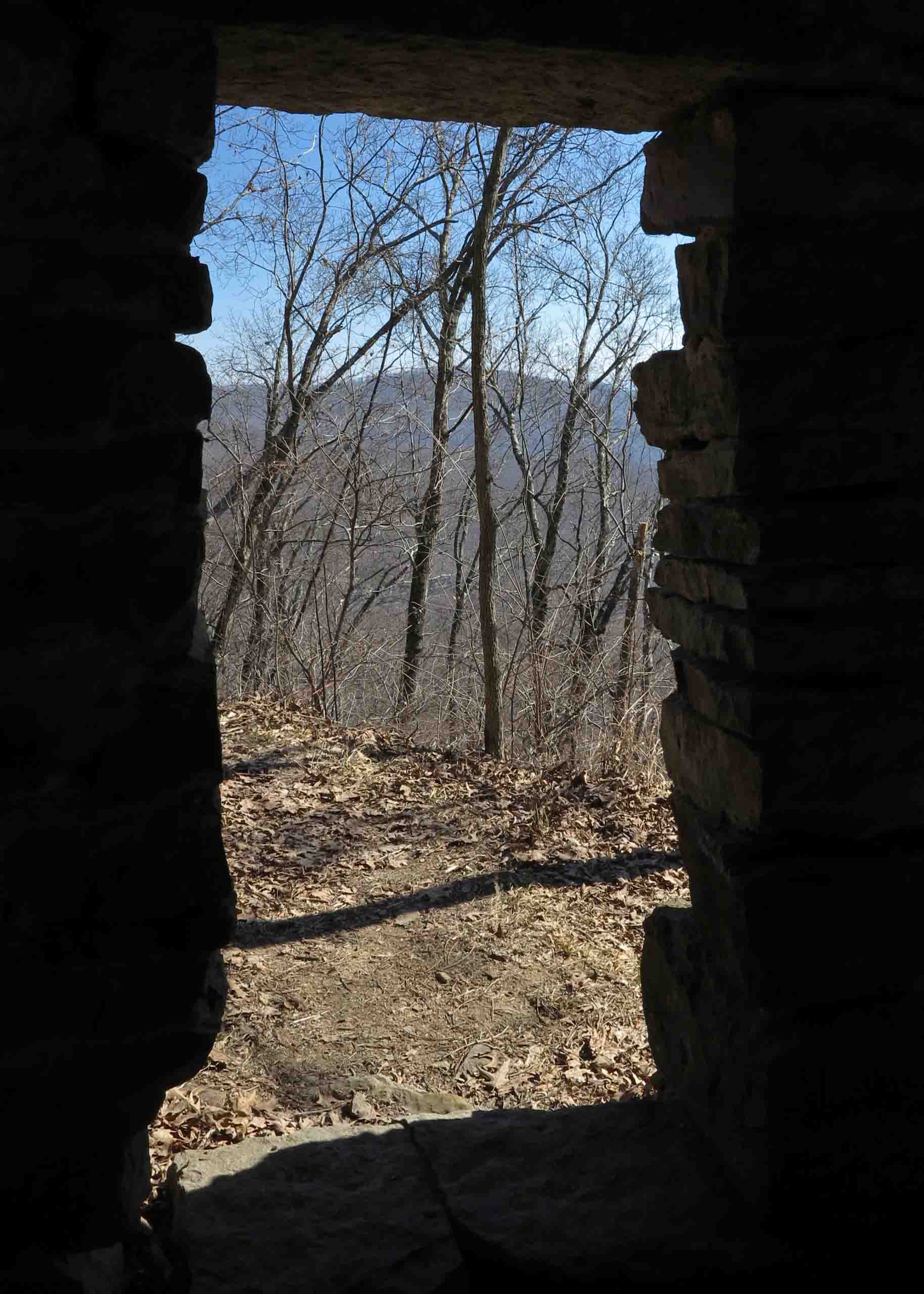
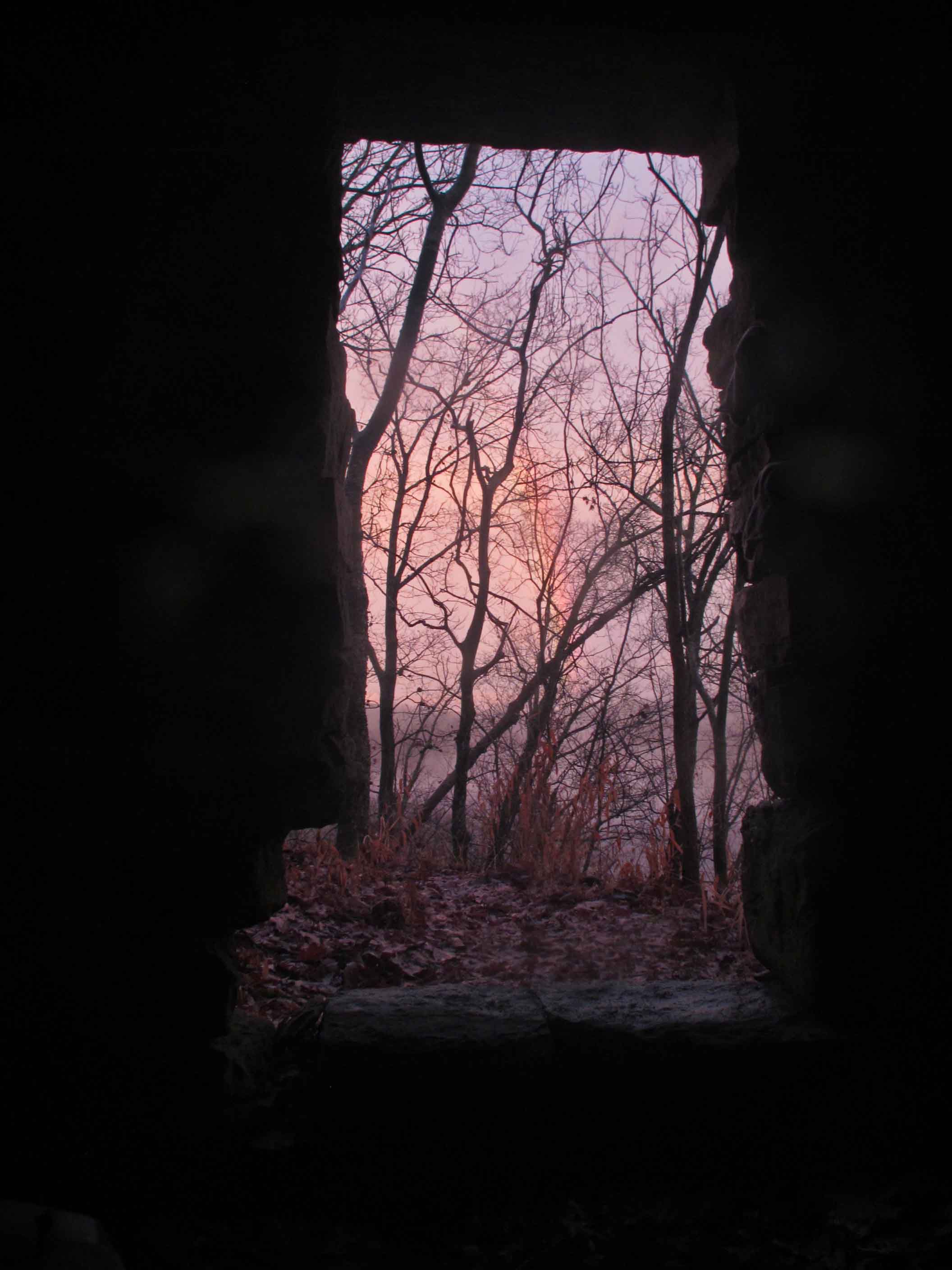
View of a faint rainbow from the Rock House
A rainbow to the east followed through on its promise of better weather to come. We began to dry out while hiking the next day. Hiking over Hare Mountain resulted in some colder temperatures, probably down into the twenties. We wondered what the water levels at Harrods Creek would be like. Nothing like anticipating another bushwhack! What we found was a somewhat swollen Harrods Creek but we crossed without difficulty.

Frosty hiking as temperatures plummet.

One of many waterfalls along the trail.

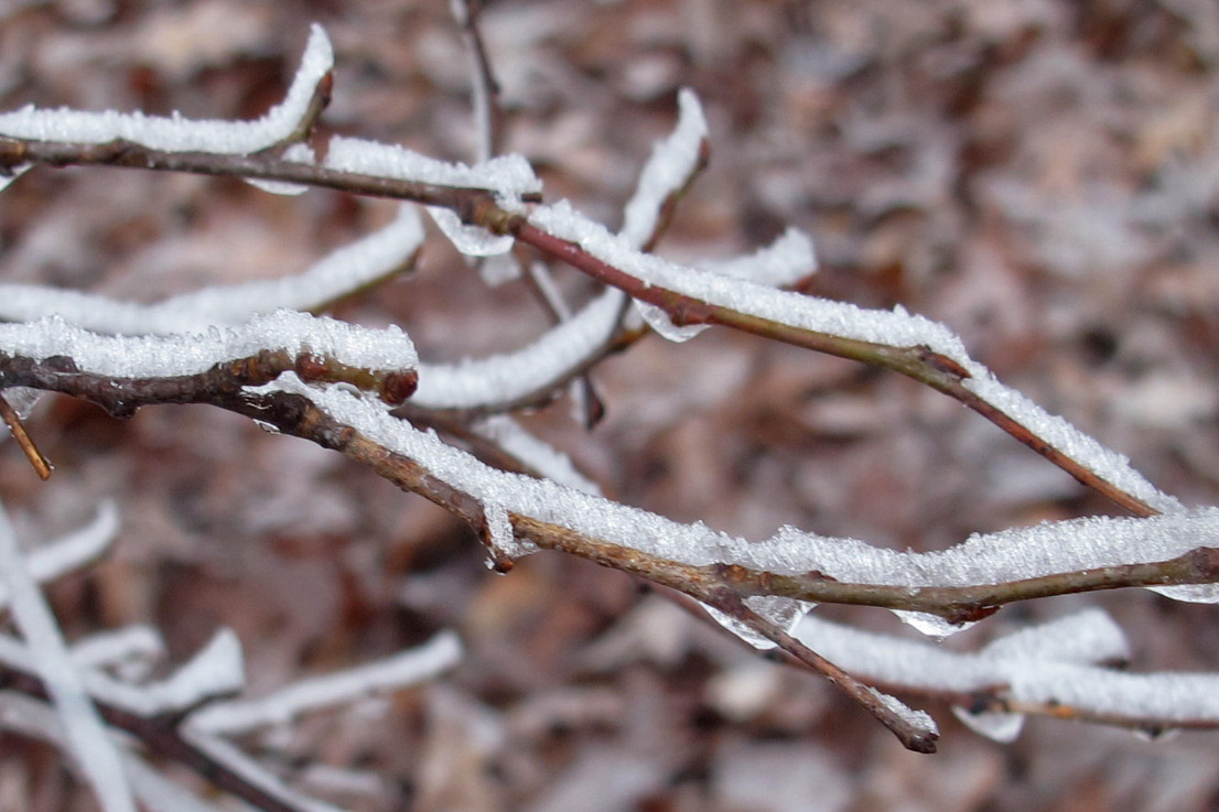
Frost flower
Colder temperatures produced some little rewards along the trail. Frost flowers could often be seen during the morning walks. Once the sun came out they vanished. I enjoyed this little heart-shaped frost flower and took a pic to share with my wife who enjoys finding naturally occurring heart shapes in nature.

Frost Flower

Nice lunch spot overlooking the Mulberry River Valley
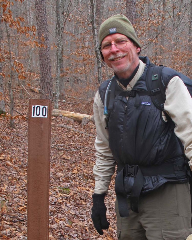
Passing the 100-mile marker.
Making the first 100 miles felt good! This left 25 miles to hike over the next two days and then 55 more miles to hike later in January.


Jerky snack

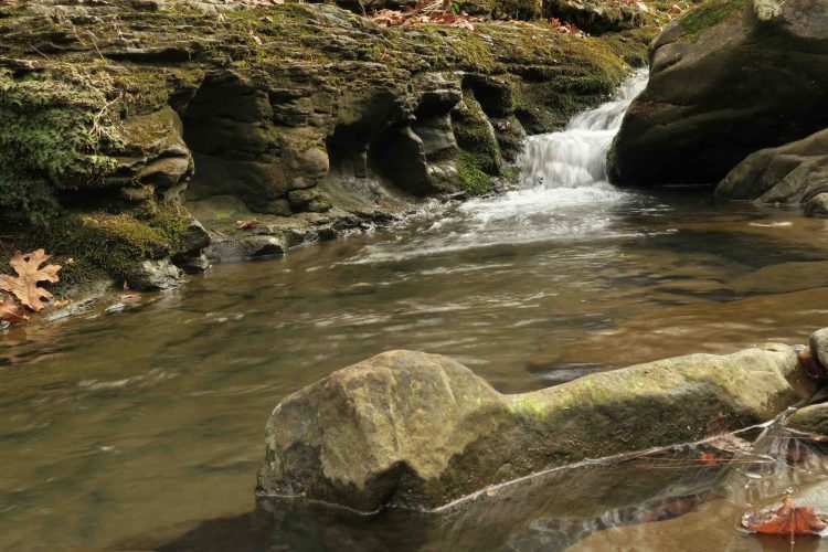
Cedar Creek

Hurricane Creek Wilderness Area

Icy bluffs along the trail.

Hurricane Creek

Hurricane Creek

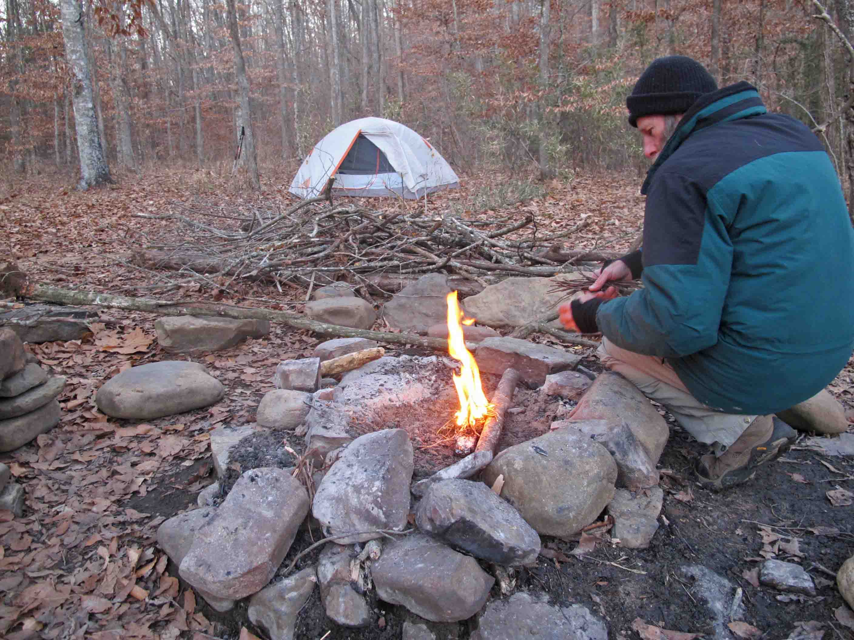
Bob building a fire.

Sawyer water filter

Waterfall along the trail.

Hurricane Creek area

Hurricane Creek Wilderness Area

Detail of rock formations in the Hurricane Creek Wilderness Area
The Hurricane Creek Wilderness Area contains a maze of house-size boulders. The work of time, water, and temperature changes could be seen on the face of these boulders. I found it difficult to keep going through this section of the trail. My hand kept spontaneously reaching for my camera.

Finished the first 125 miles at Fairview Camp Ground.
The final climb from Hurricane Creek up to Fairview Camp Ground on Hwy 7 really kicked me good. It was as if the trail was anticipating my departure and wanted to leave me with that good feeling of total exhaustion! Wildman, who hiked many long trails during his long life, used to say he would find himself hiking slower as he approached the end of a long hike. He didn’t want it to end. I now understood what he meant. The climb, combined with my wish that the hike wouldn’t come to an end, made for a slow and reflective pace.
As we finished this leg of the outing I found myself wishing I could just continue on without stopping. I was firmly entrench in the rhythm of the trail….walk…eat…sleep….repeat…
To read the rest of the story go to Walk, Eat, Sleep, Repeat, Continued.

 December 29: This trek through the Hurricane Creek Wilderness Area would bring Hiker-dog closer to completing the Ozark Highlands Trail. It was also the final section needed for one of our group to finish the traditional 165-miles of the OHT.
  One vehicle approached the bridge as we crossed, but the driver stopped and gave us a friendly wave as we continued across the one-lane bridge.
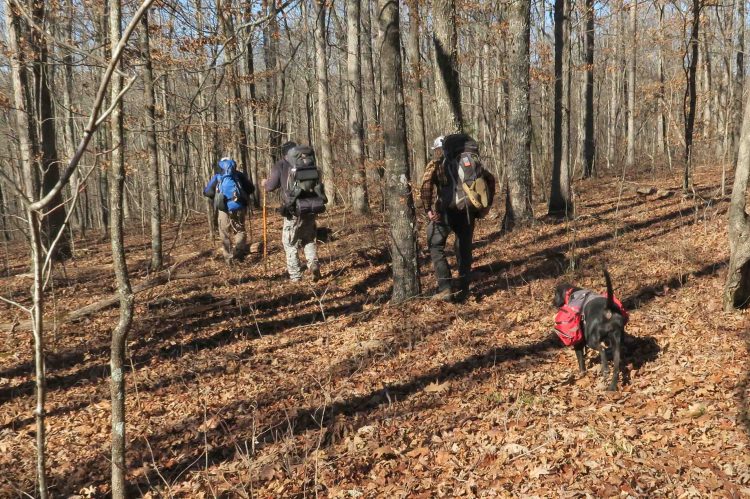 The winter woods were open and clear under sunny skies.
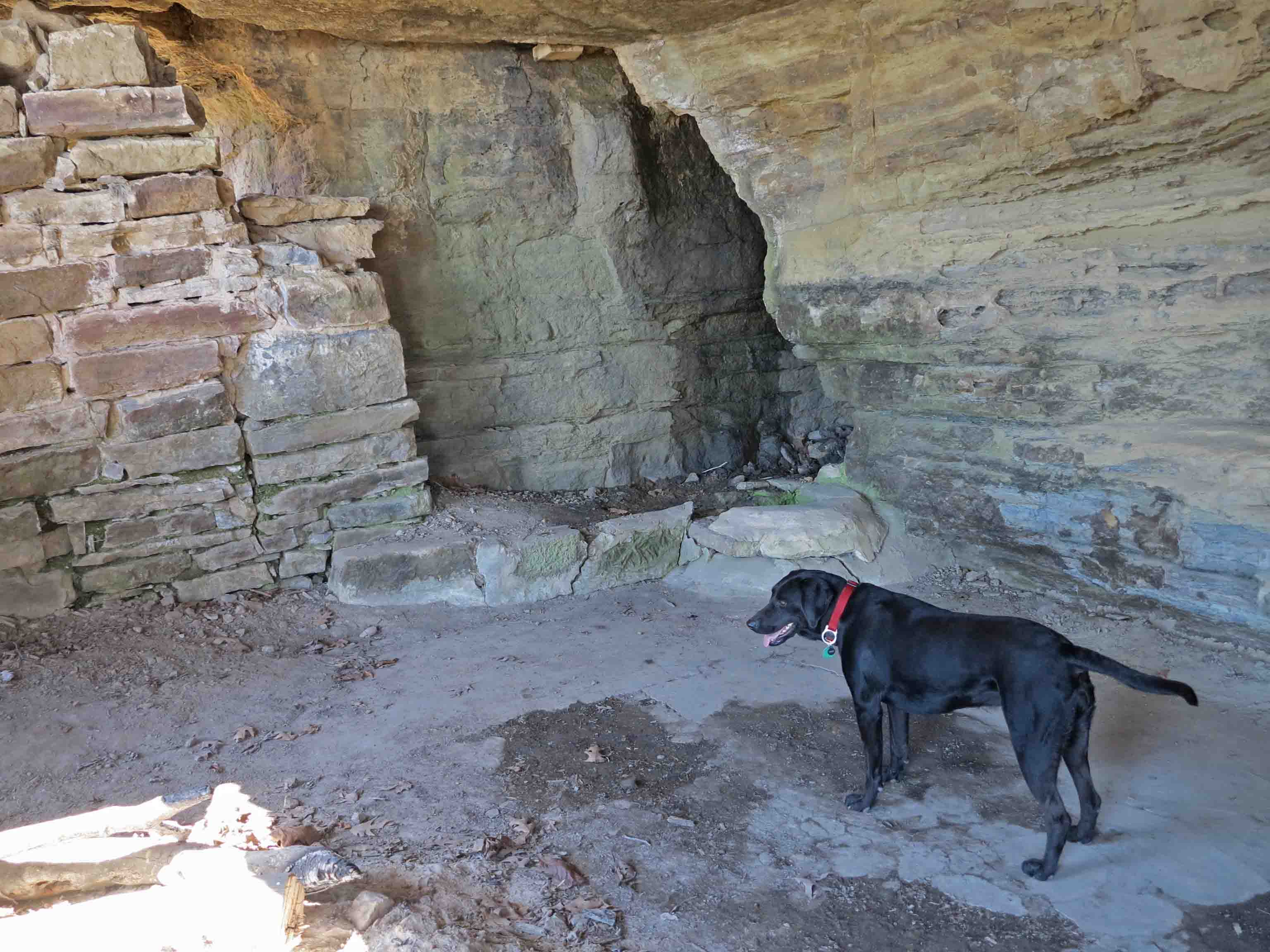
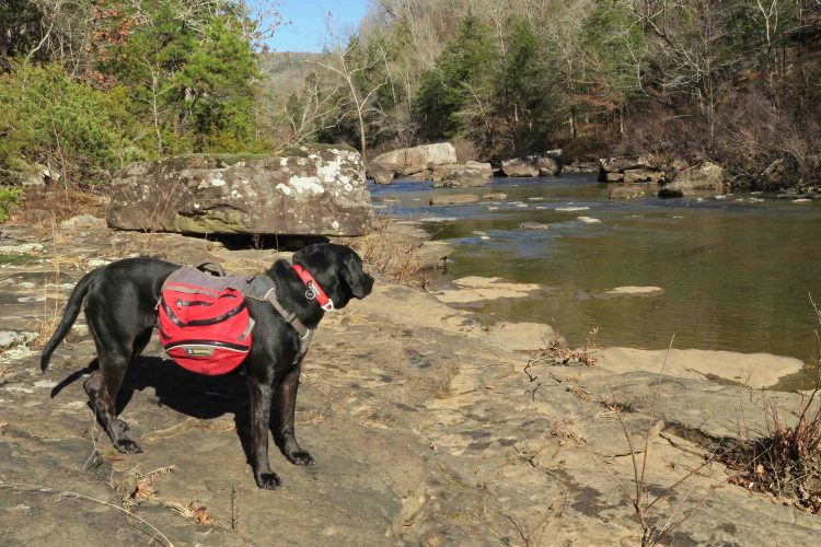
 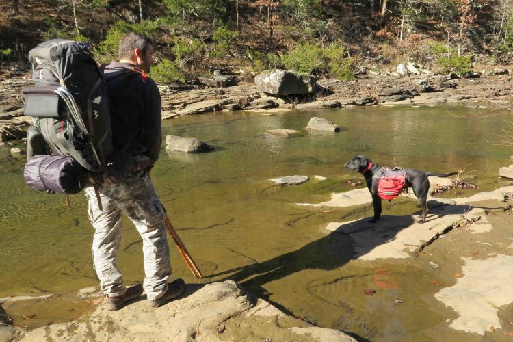 Eric and Hiker-dog paused to take in the views at the slow running Hurricane Creek. The water was as clear and the bottom of the creek was as slippery as I remembered. Even Hiker-dog’s four paws slipped a time or two.
  Bob and Eric did some rock hopping to cross dry. Scott, Hiker-dog, and I all chose to wade the creek.
 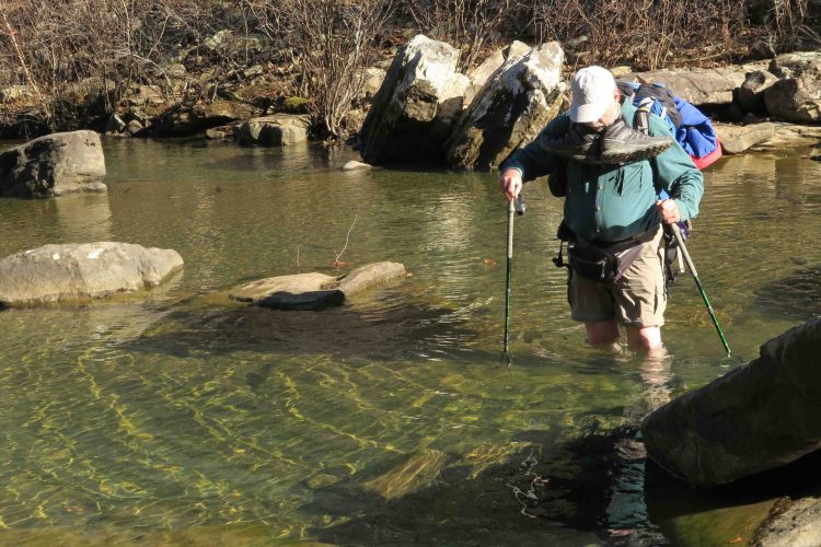 It looked like Scott found a deep spot in the creek, but we all made it across dry and ready to move on up the trail.
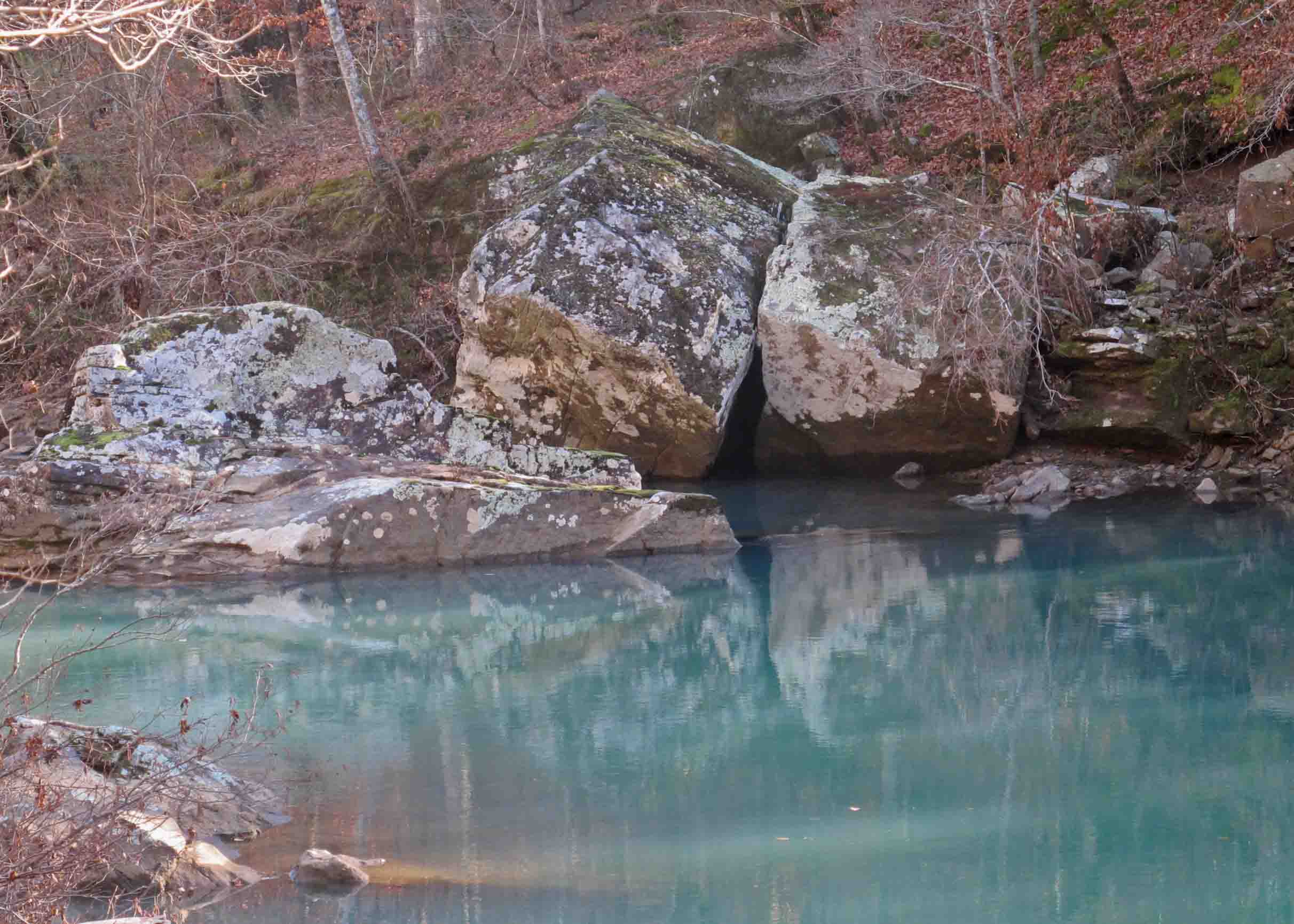
  Winter leaf-off is a good time to view Natural Bridge perched at the top of bluffs on the west side of Hurricane Creek.
 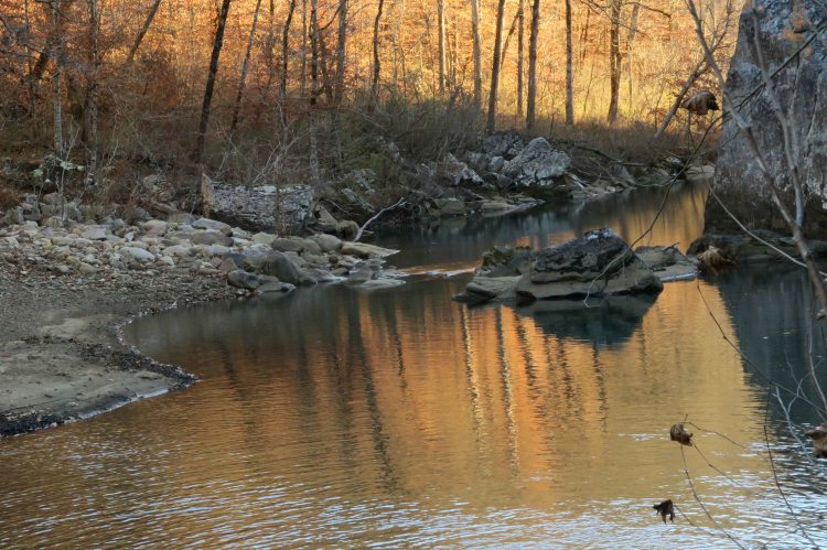 Thanks to Eric for noticing the color reflecting upstream. We took turns photographing the scene with my camera since Eric’s camera batteries were drained.
  Hiker seemed to enjoy showing off by hopping rocks as the sun continued to move lower in the sky.
 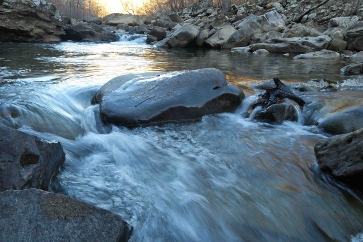 We were in our tents by 7 p.m., lulled to sleep by the gentle sounds of Hurricane Creek below our campsite. Coyotes let loose a chorus of howls late in the night, but I find their distant cries relaxing and part of the beauty of nighttime in the Ozarks. Temperatures got down to the mid-20s.
 Around midnight, I answered nature’s call and enjoyed looking at the starry sky for a moment before returning to my tent. I discovered Hiker-dog curled up on my down blanket rather than her Thermarest sleeping pad. When she felt my feet under the quilt, she moved back to her bed, sorry that I didn’t see the need for her to have a down bed.
 After the east crossing of Hurricane Creek, we passed the Highwater Bypass and continued toward Chancel and our campsite at a small creek that eventually feeds into Buck Brn Creek.


 Bob reminded me of the arched shape of the bridge below Forest Road 1209A. I dropped down for a few pictures before rejoining the group on the trail and the big climb toward Fairview.
 After lots of huffing and puffing, we arrived at the trip’s end. Celebrations were in order as this was the last section Scott needed to complete 165-mile of the OHT. We were proud of his accomplishment.