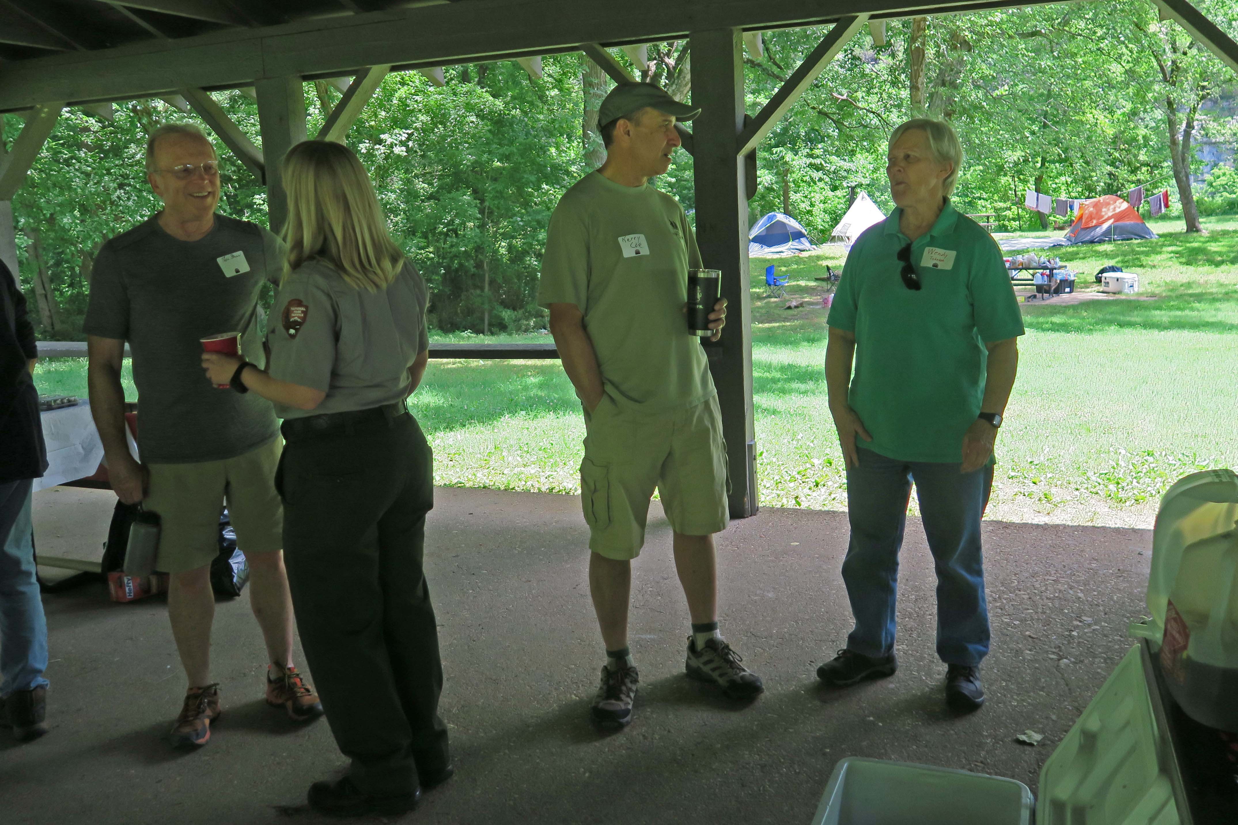
Beginning
Hiker-dog and I needed a camping trip, something quick and close. We drove 40 miles and parked at Morgan Fields Trailhead as the sun was dropping low on Friday evening. We hiked the Ozark Highlands Trail west up Hare Mountain. After pausing at the campsite on top of the mountain, we started back down the mountain with memories of the many friends who’ve gathered around that fire ring each October over the years.

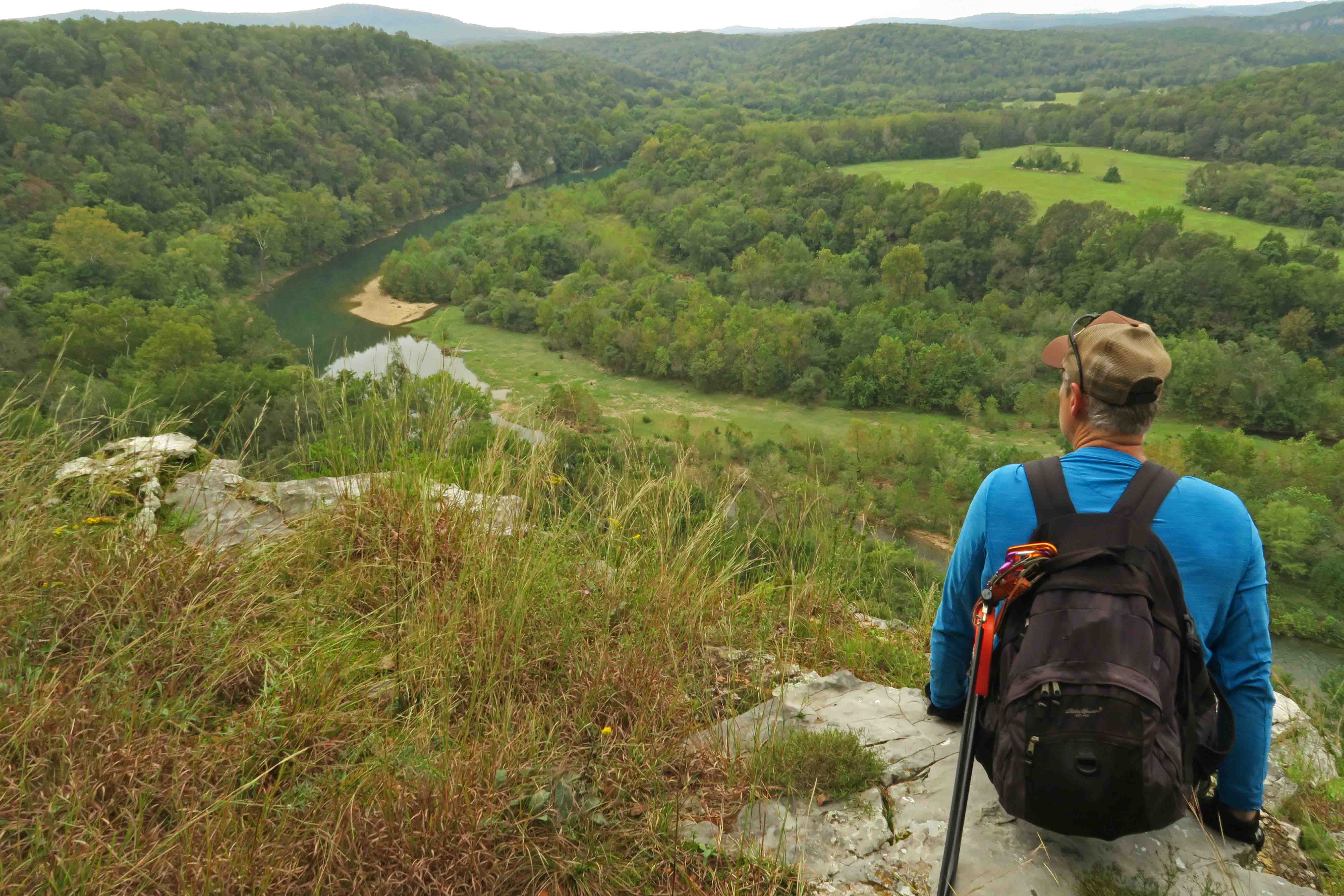
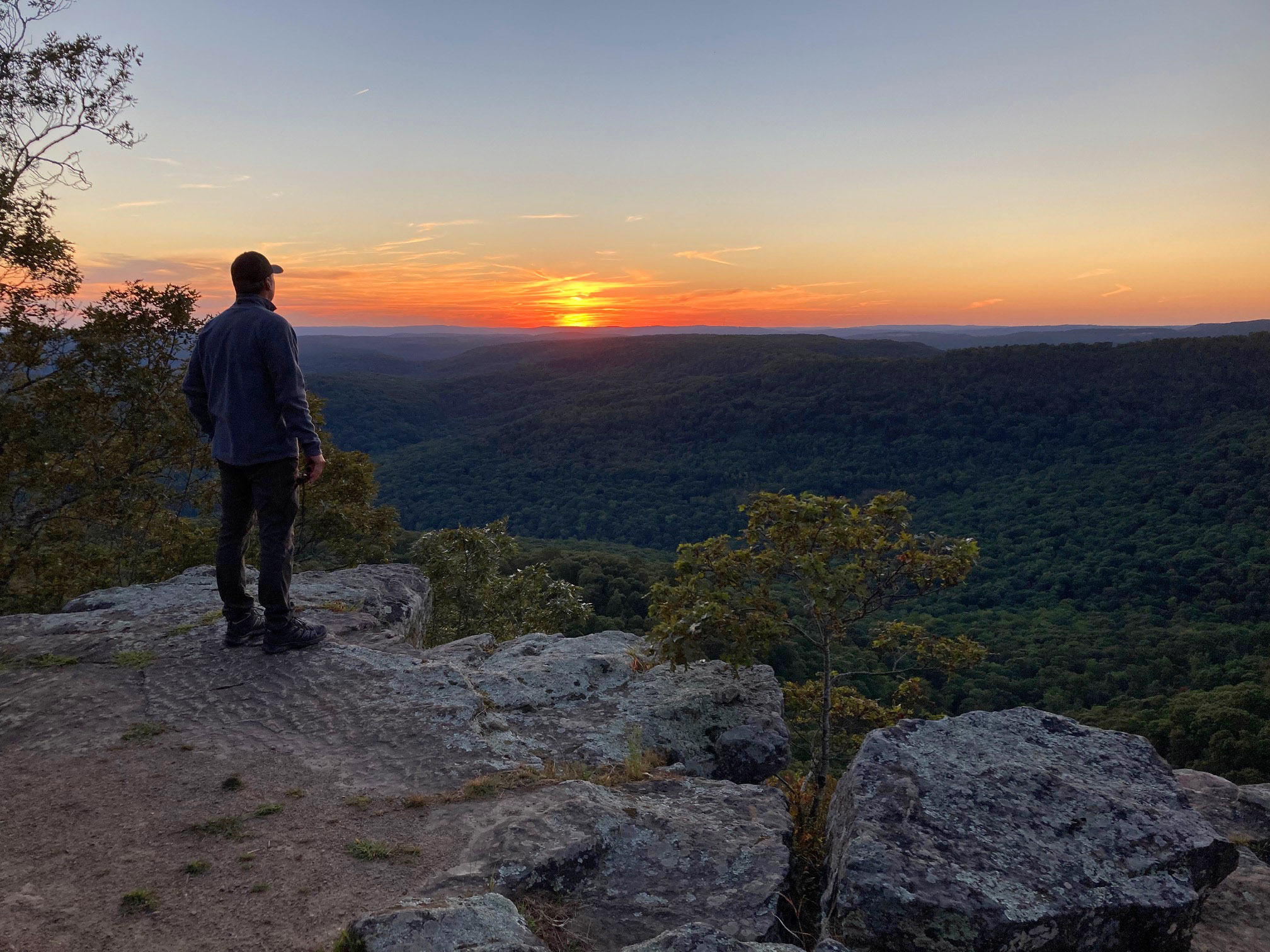
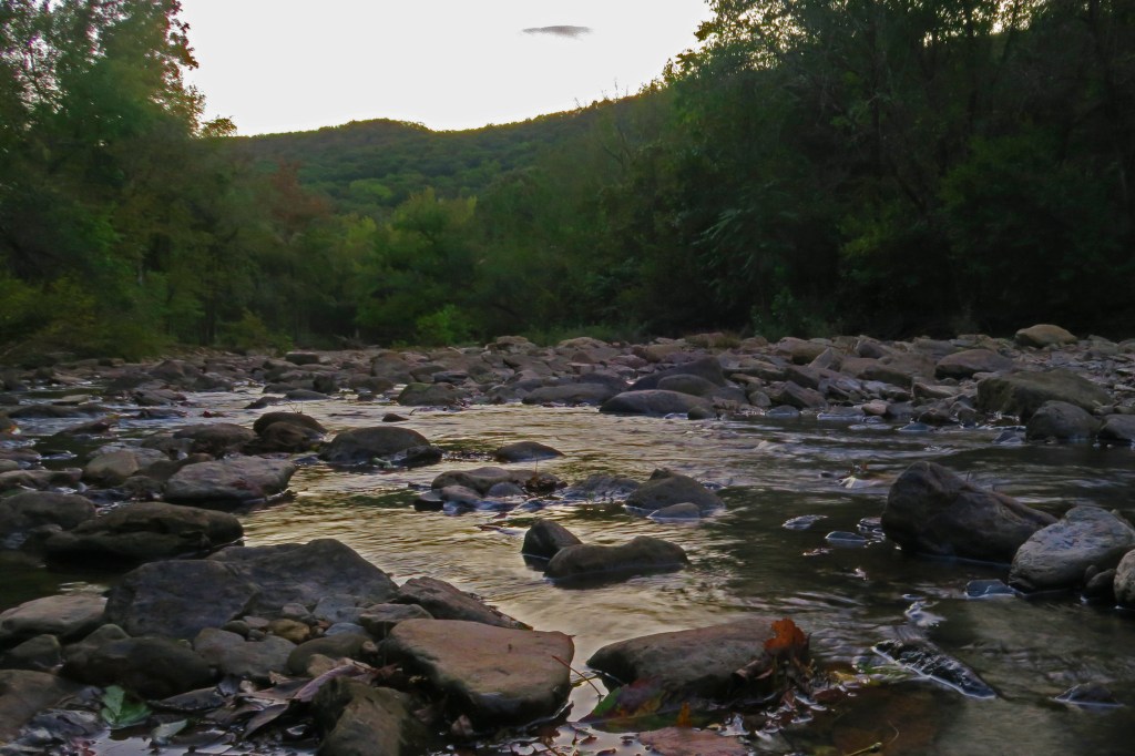
The view at mile 1 up Hare Mountain
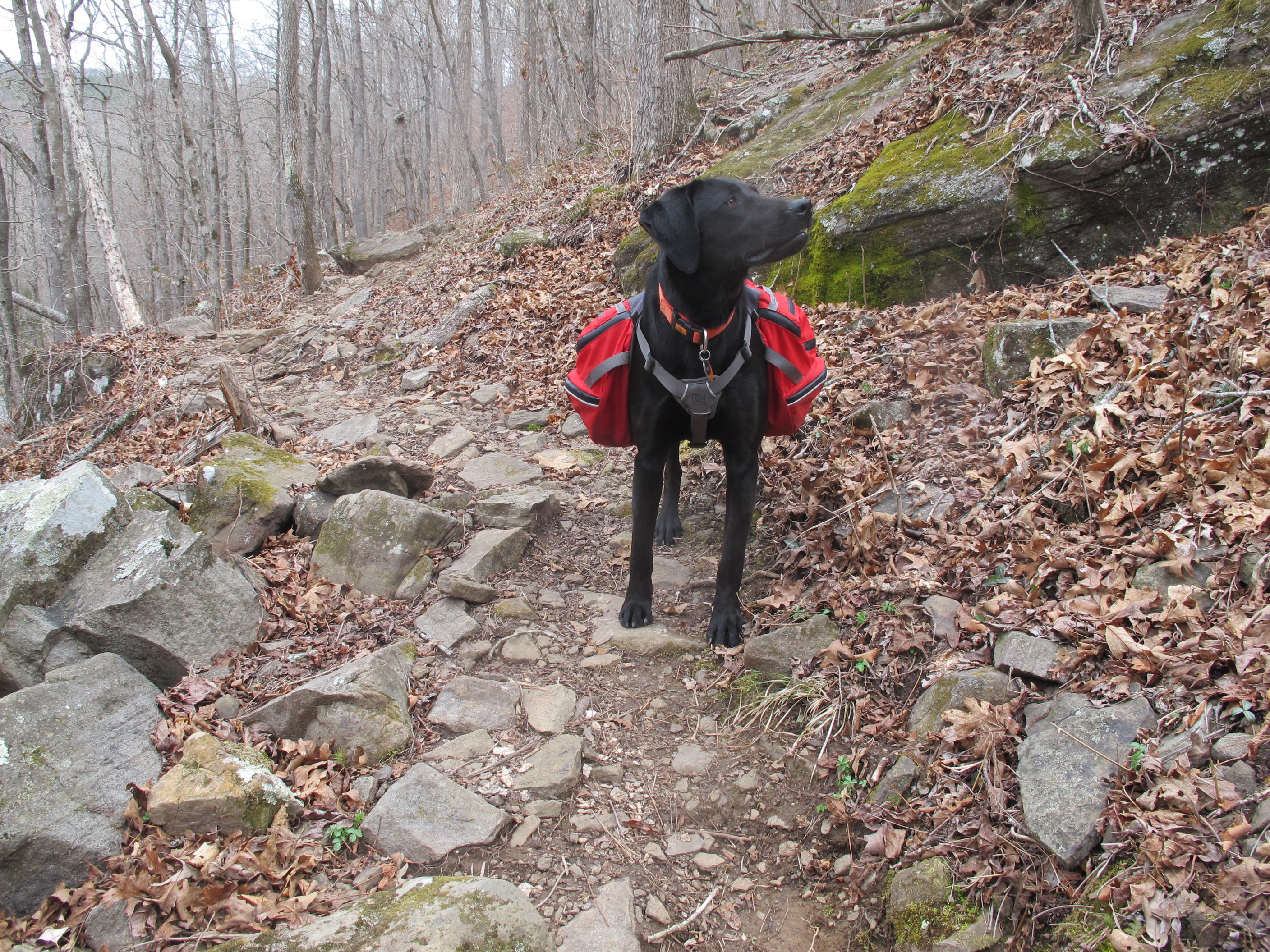
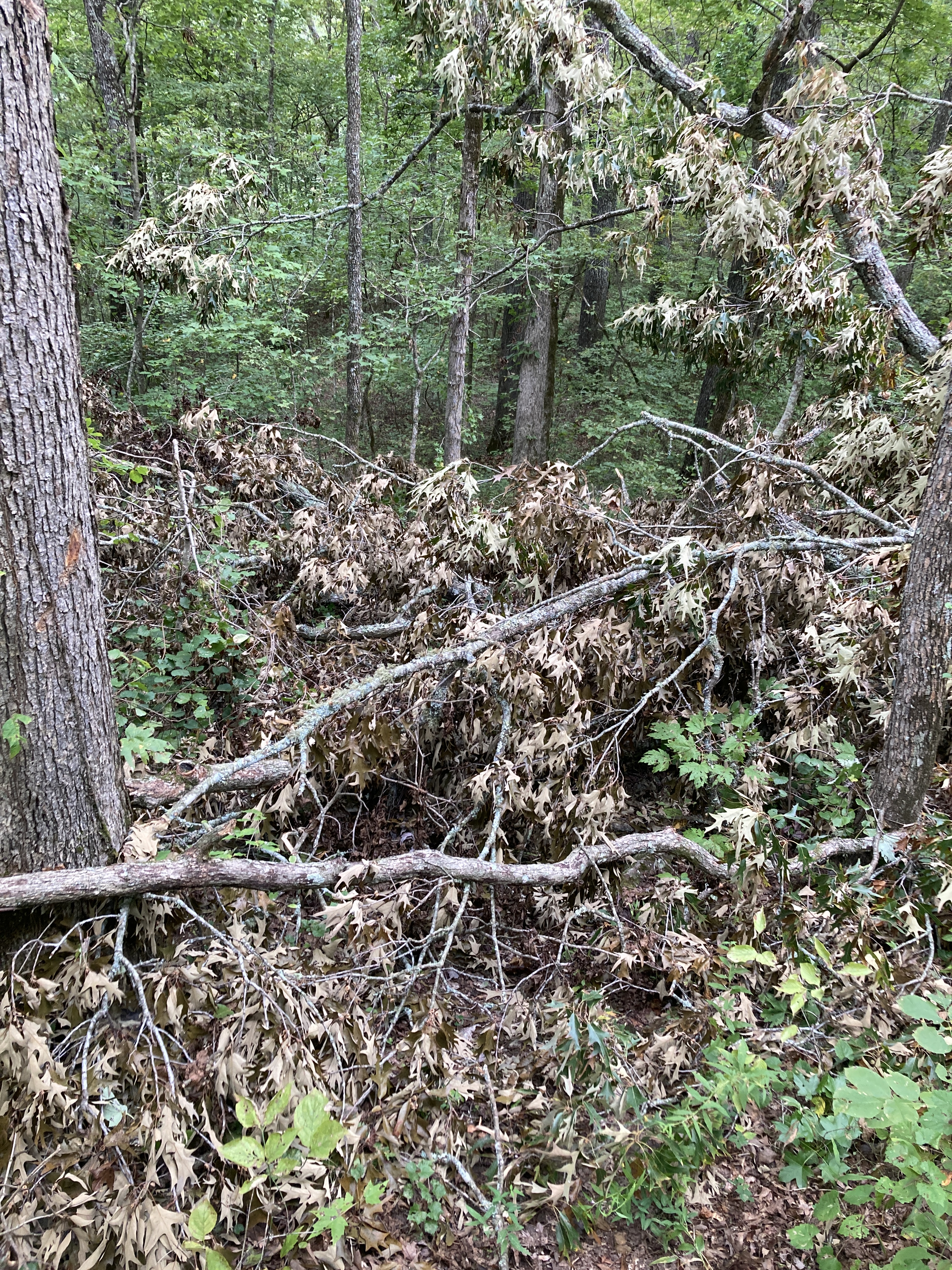
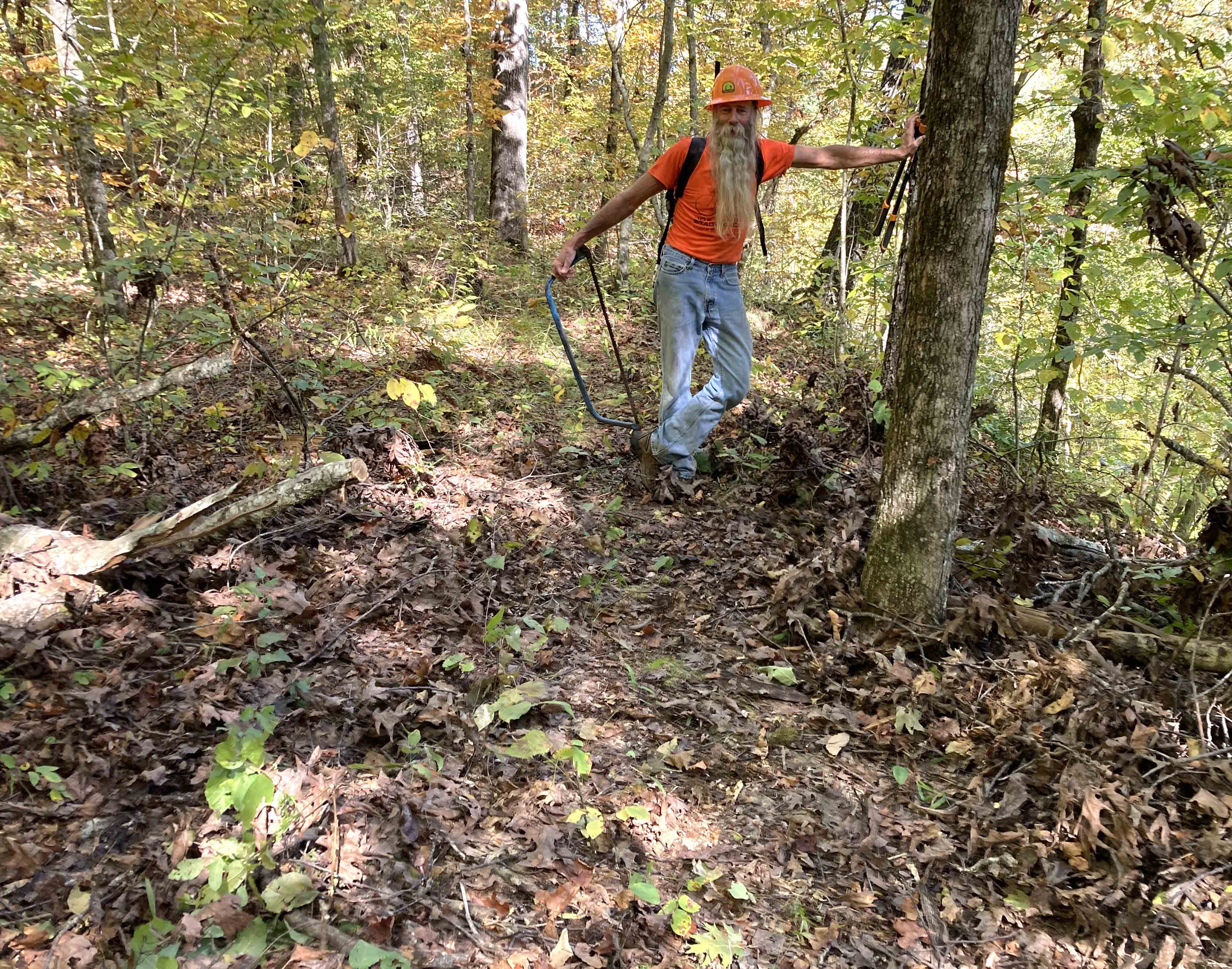
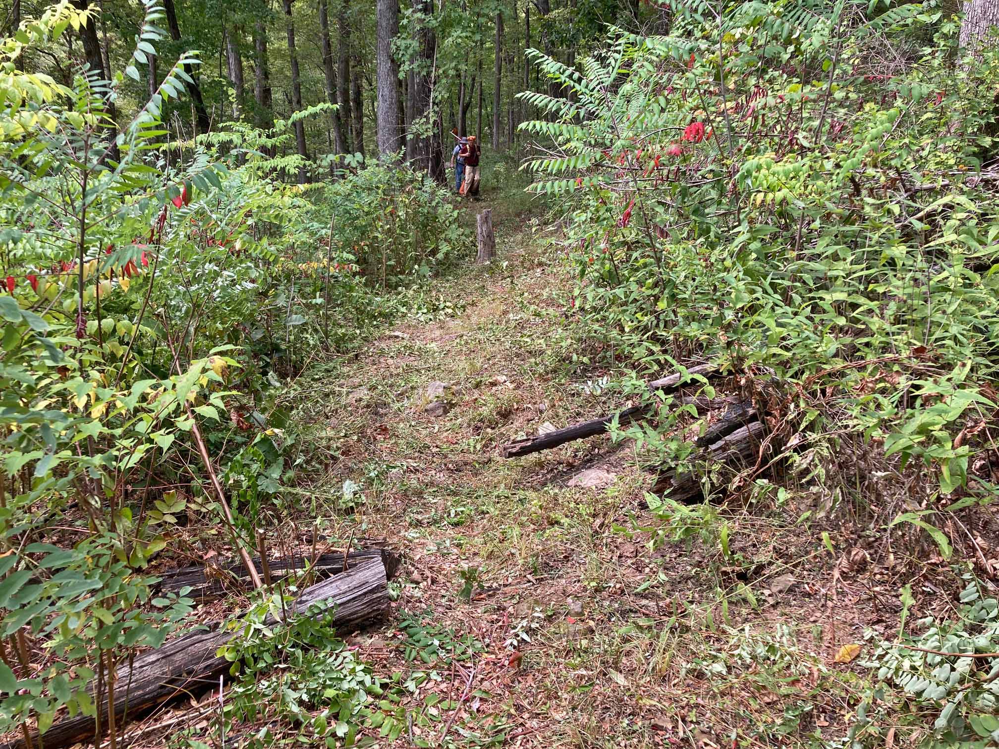
Since the trail was dry, I gave Hiker-dog some water in my palm, and she licked it dry. It was easier going downhill and cooler, too. I knew to expect some downed trees and noted locations so the Ozark Highlands Trail Association chainsaw pros can cut them out before the October Hare Mountain Hike-In. A lot of maintenance happens in September in preparation for backpacker traffic through the fall, winter, and spring. If you hike in the summer, what we consider the off-season, expect more vegetation and a few downed trees.
Lightening bugs sparkled and danced through the air. Hiker-dog got excited when she saw a trail sign in the distance. Before I got to the road, she was down the trail wanting to keep going. I said, “This way,” and she returned to the road.
On the short road walk back to the truck, I turned off my headlamp thinking I’d walk in the dark. There wasn’t a moon yet, and after a few moments of pitch-black walking, I realize the light was necessary. When we arrived back at the truck, I looked up at a light-pollution-free star-filled sky.
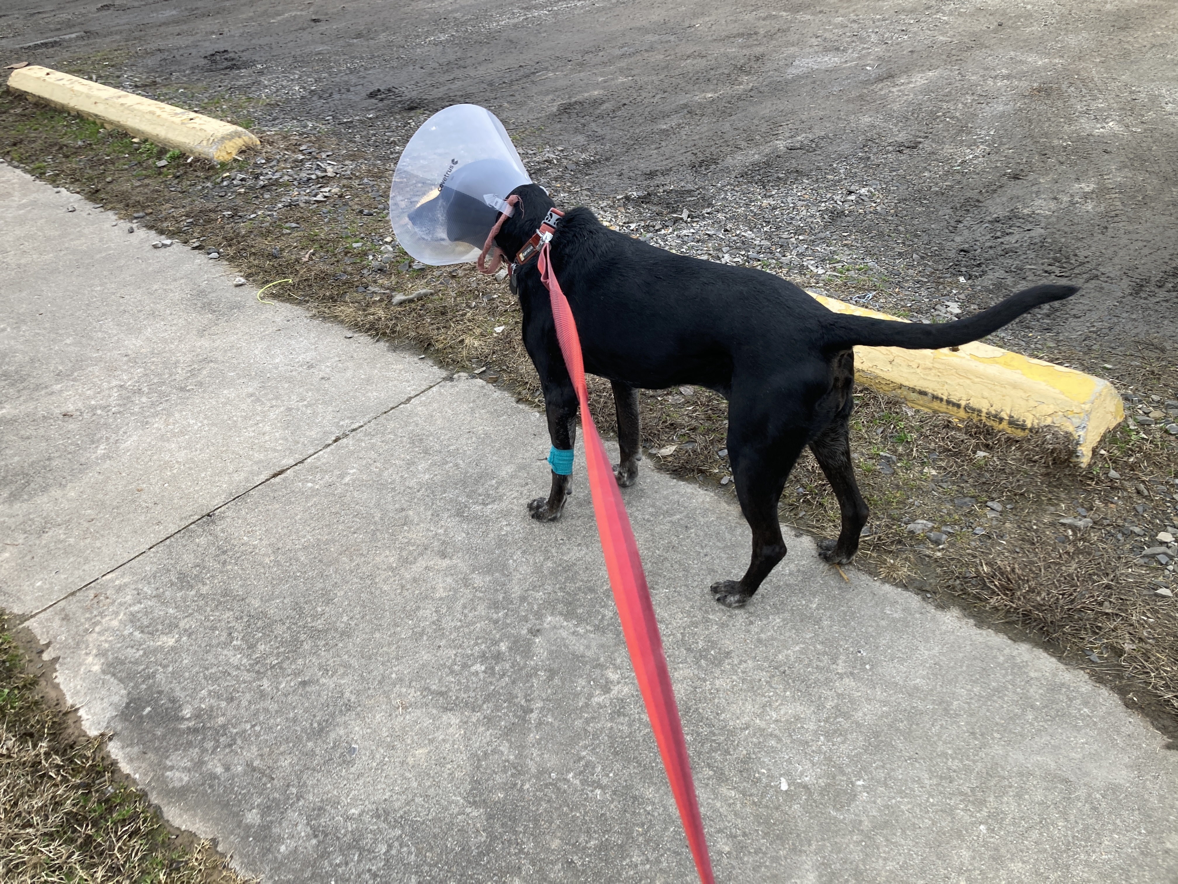
After I popped up the camper top, Hiker-dog surprised me by jumping in. She curled up on the floor and sent me a side glance that said, “I’ll just sleep here for the night.” She was easy to coax into her crate at the door and was silent for the night as usual.
After checking for ticks, and finding a few still crawling, I began to think about the next day’s schedule. It was pretty simple. Rise early, do an out-and-back east to Herrods Creek, then get a turkey sandwich at Turner Bend Store.
Night temperatures dipped into the mid-sixties. The 12-volt roof fan pulled cool air across the sleeping mats, so I slept well and even turned the fan off around midnight.

Hiker-dog’s crate made a nice camp table.
We woke early and, after coffee and tasty breakfast, hit the trail by 6:00.
Anyone who’s hiked during the summer knows the pleasure that spiderwebs add to the experience. Several years ago, I started adopting a more zen-like view of spiderwebs and letting them wrap across my face with less frustration. I had plenty of “zen-like” practice on this hike.

Cool morning temperatures made for nice walking. Morning light adds beauty to the most ordinary scenes.

Rotting log in the morning light
I found myself noticing small things. A snail shell next to the trail caught my eye. Love the beautiful patterns of nature!

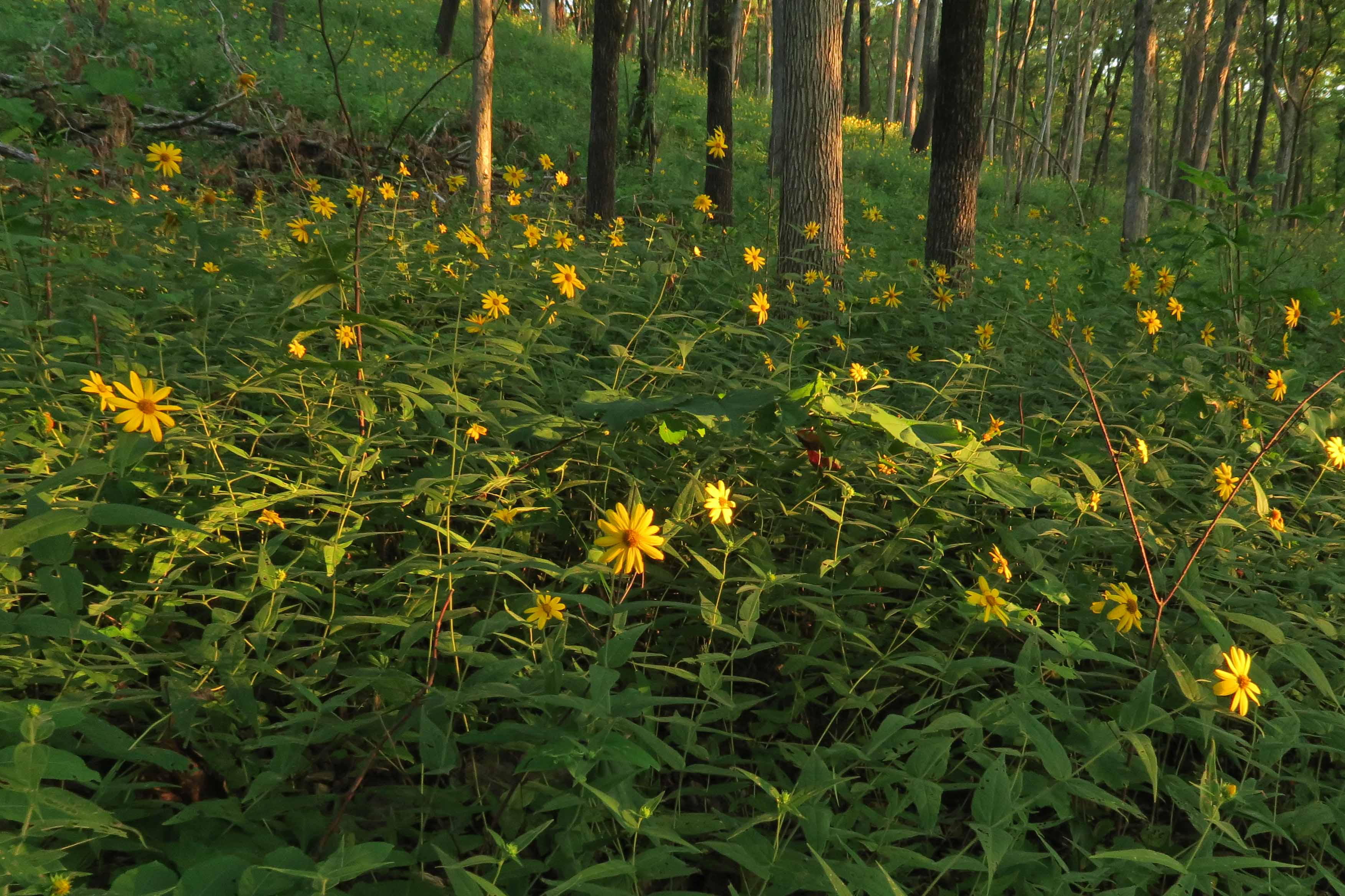
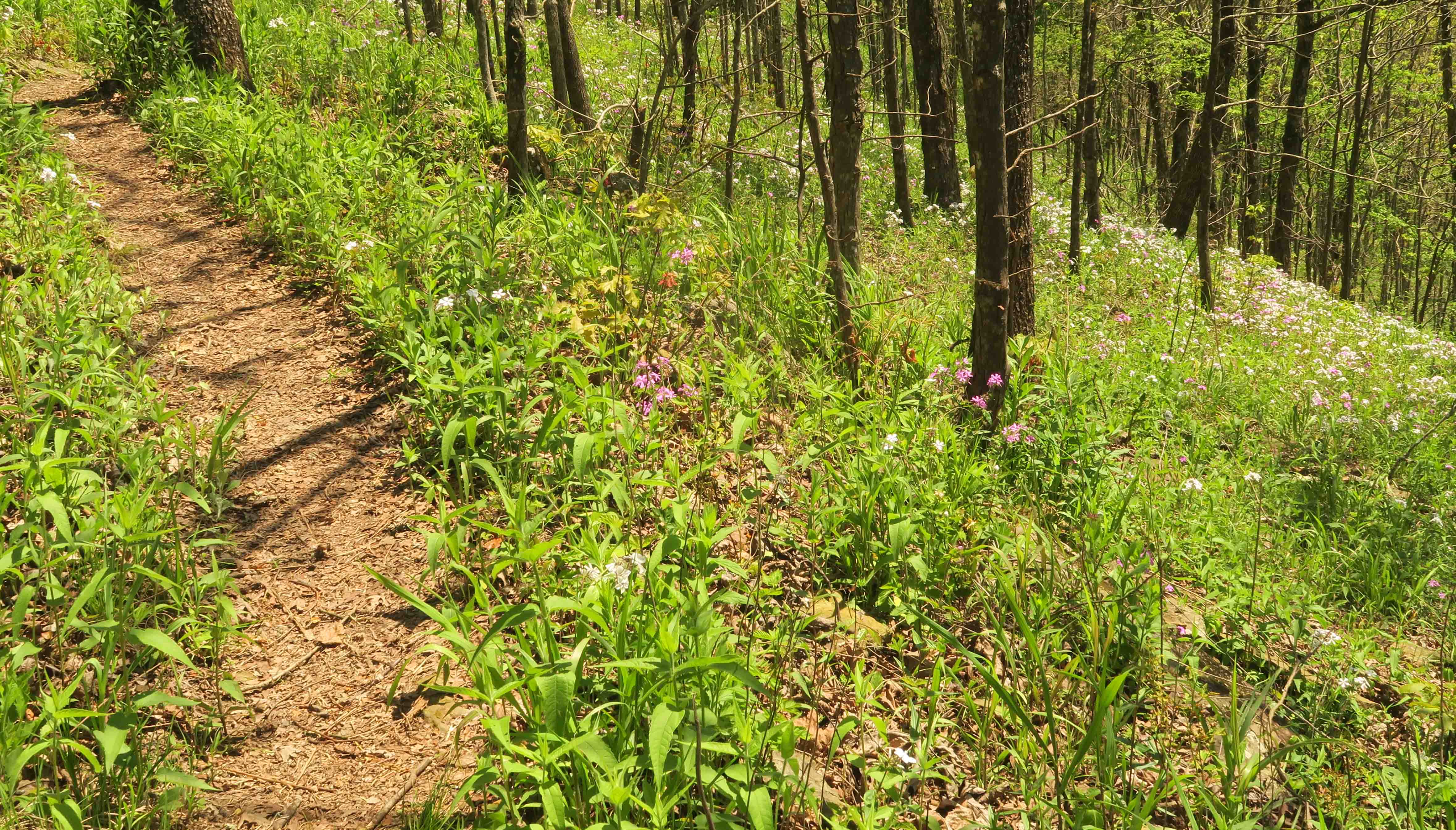
For at least a mile, ox-eyes (false sunflower) were constant companions along the trail.
I inspected these guys a little more closely to appreciate their beauty from all sides.


Pretty from all sides!
The ox-eye and ironweed attracted butterflies. I enjoyed watching this one for a few seconds.

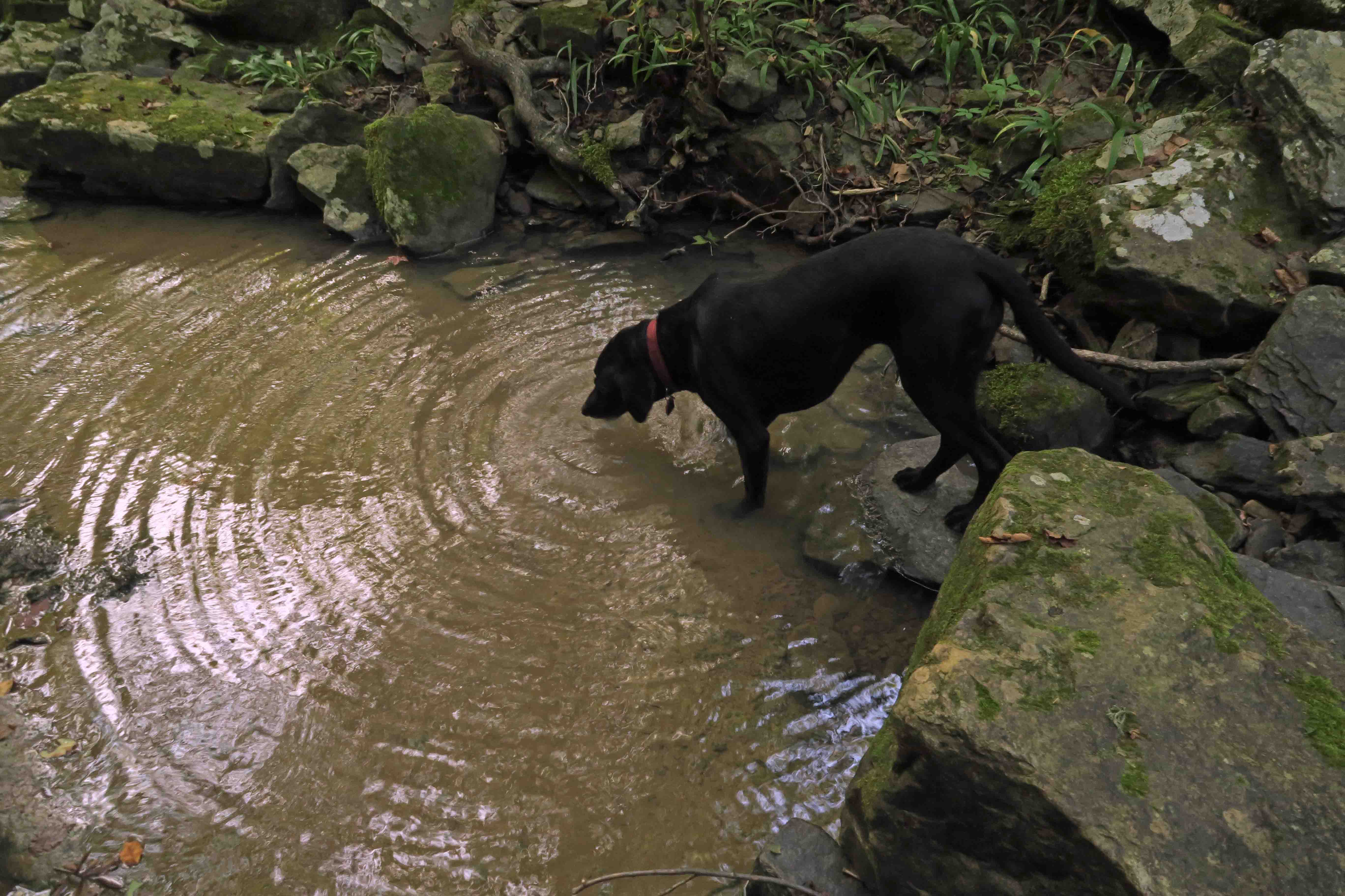
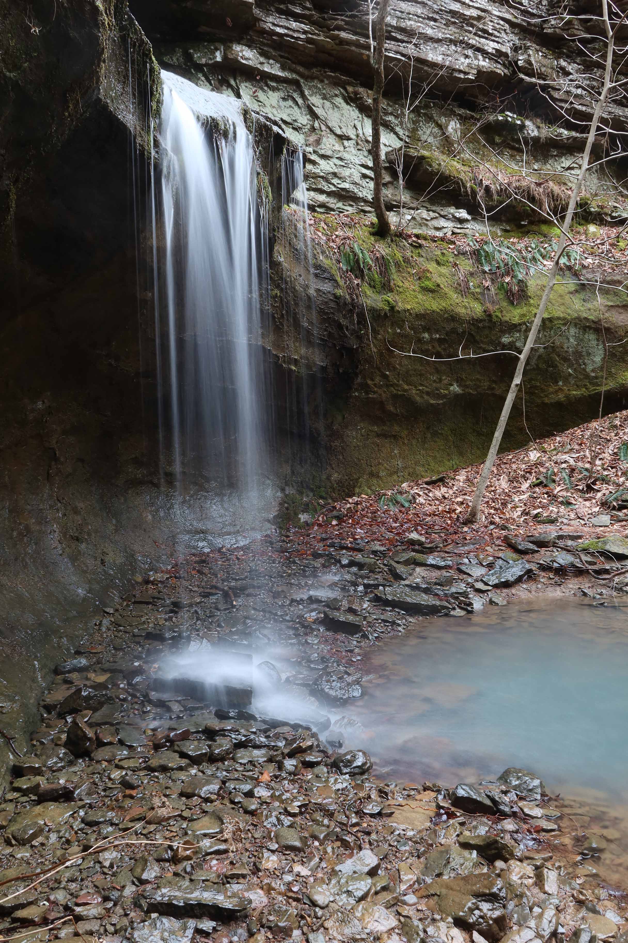
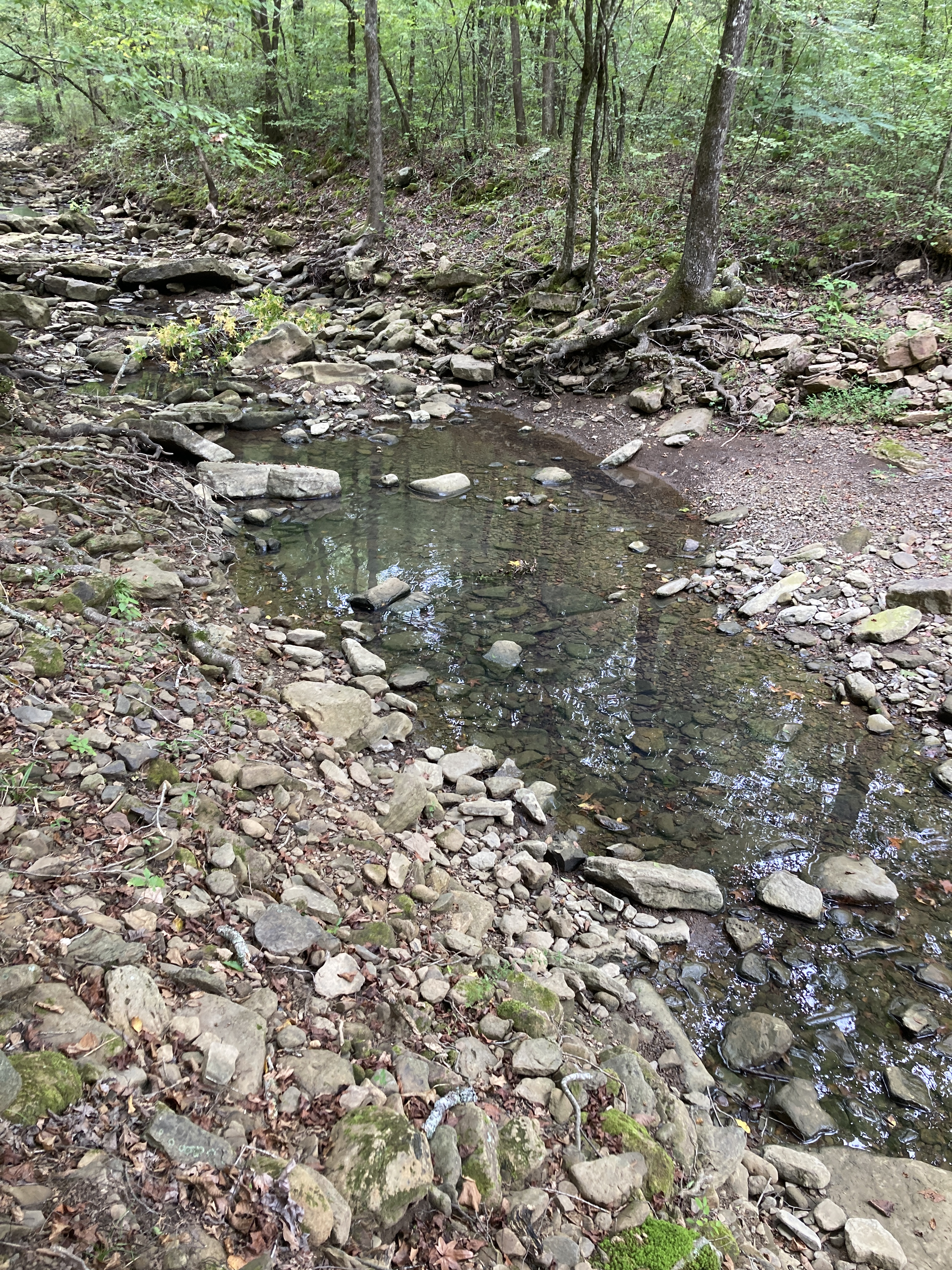
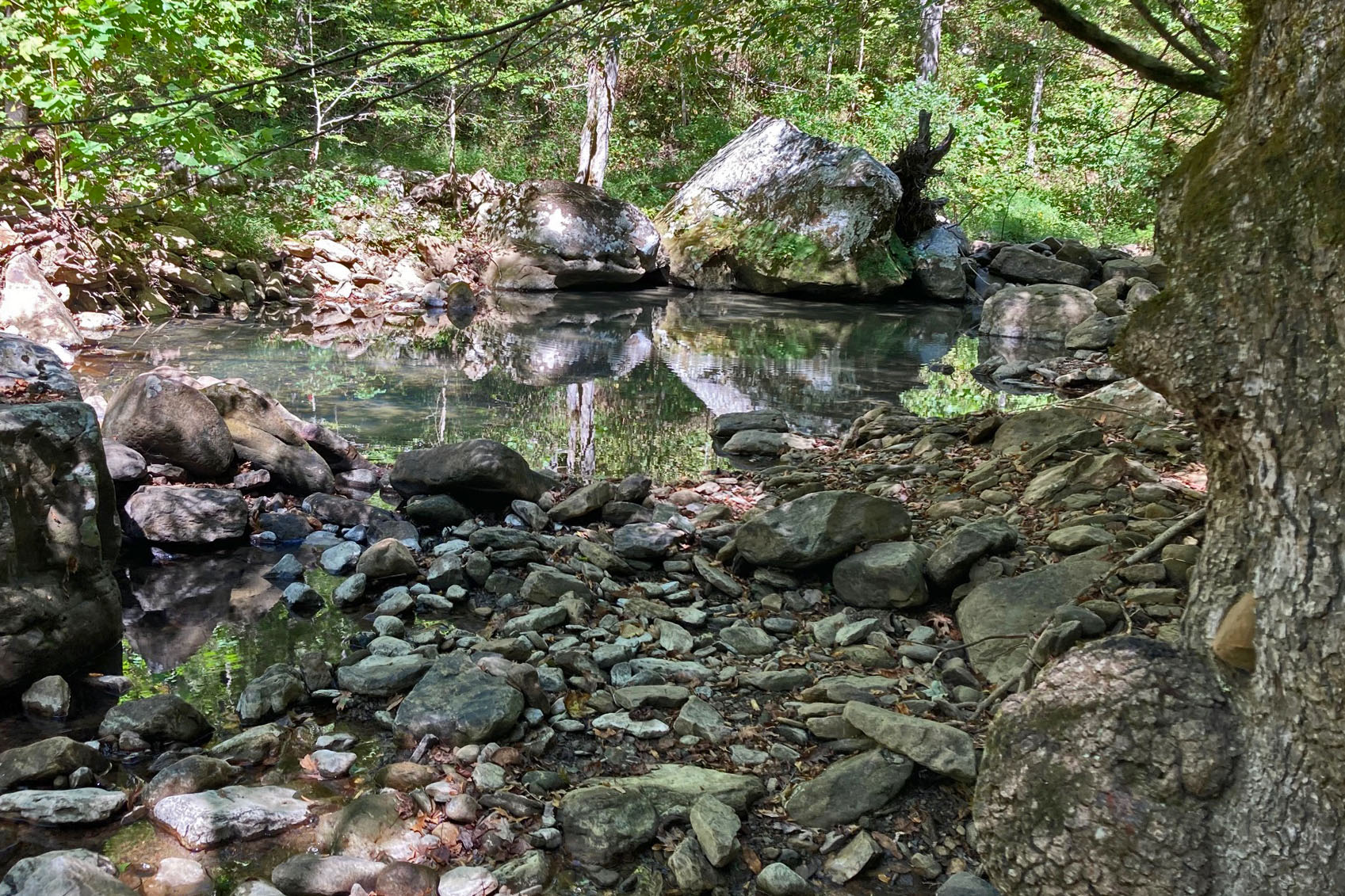
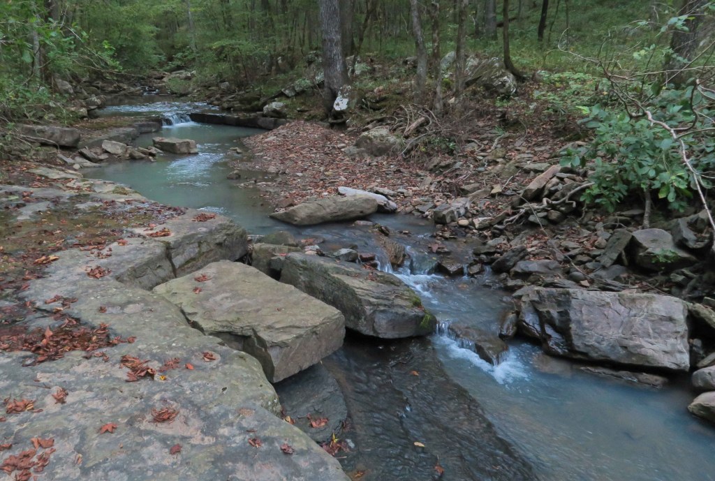
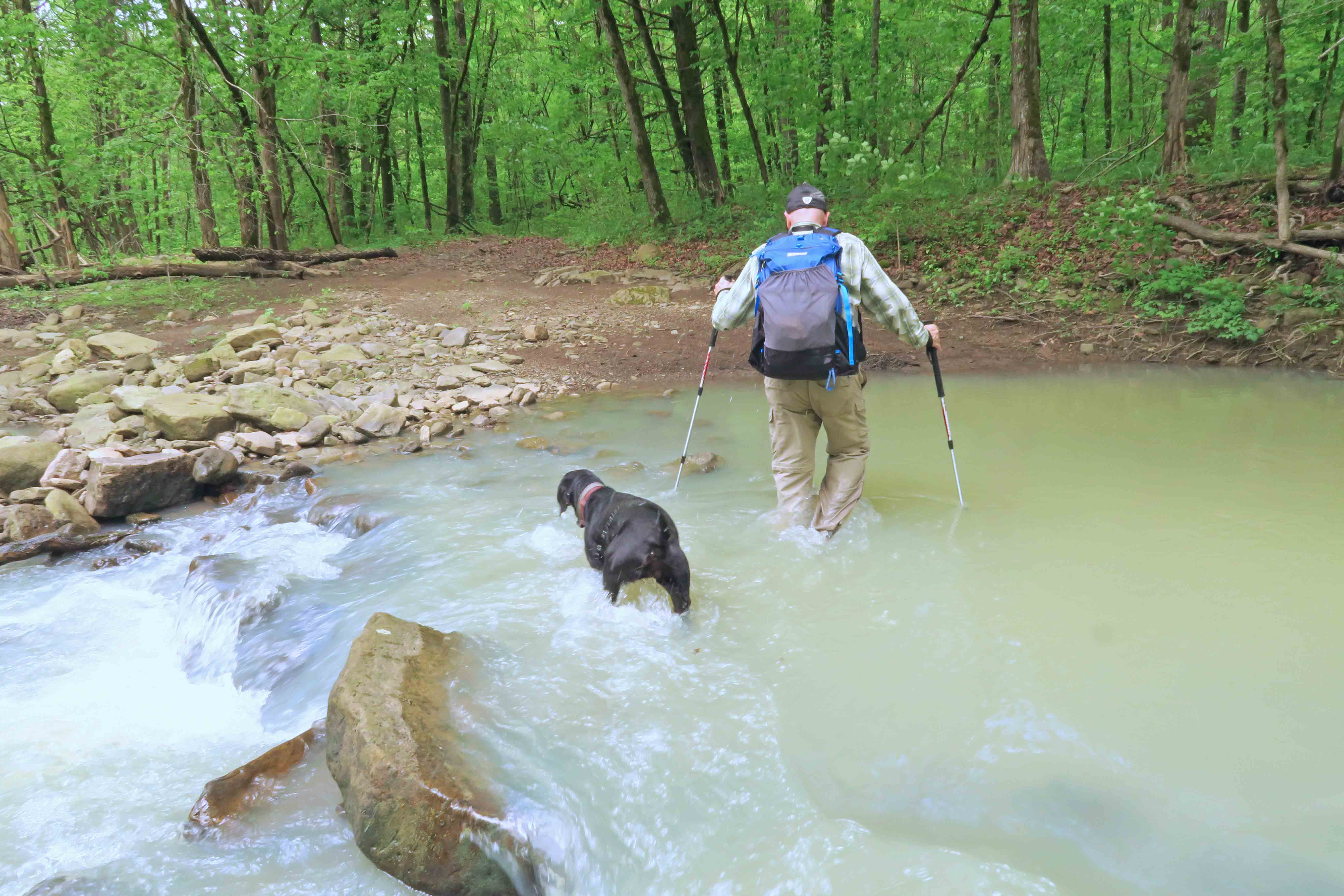
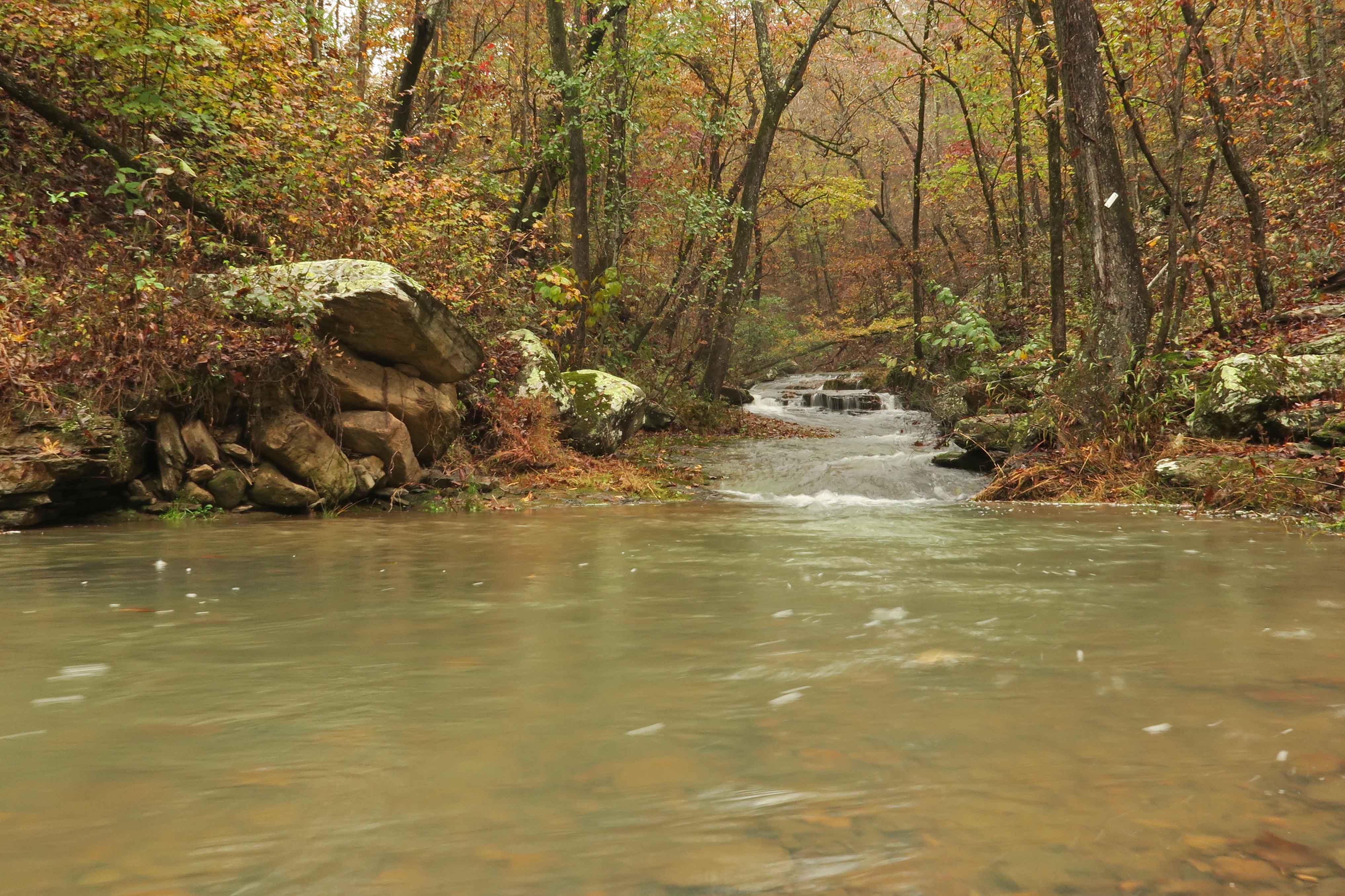
After about three miles, we reached Harrods Creek, a dry crossing right now. Water pockets were up stream, and Hiker-dog found a good spot for a satisfying drink.

Trail crossing at Harrods Creek
On our way back to Morgan Fields Trailhead, I planned to pick up some trash we passed going in. I had a small plastic shopping bag, but wished for a bigger bag when I realized how much was there.

From the looks of it, poor planning was the culprit. There was a lot of unnecessary packaging. The markings on a can of insect spray made me wonder if a bear had bitten into it. Hole patterns were similar on both sides.
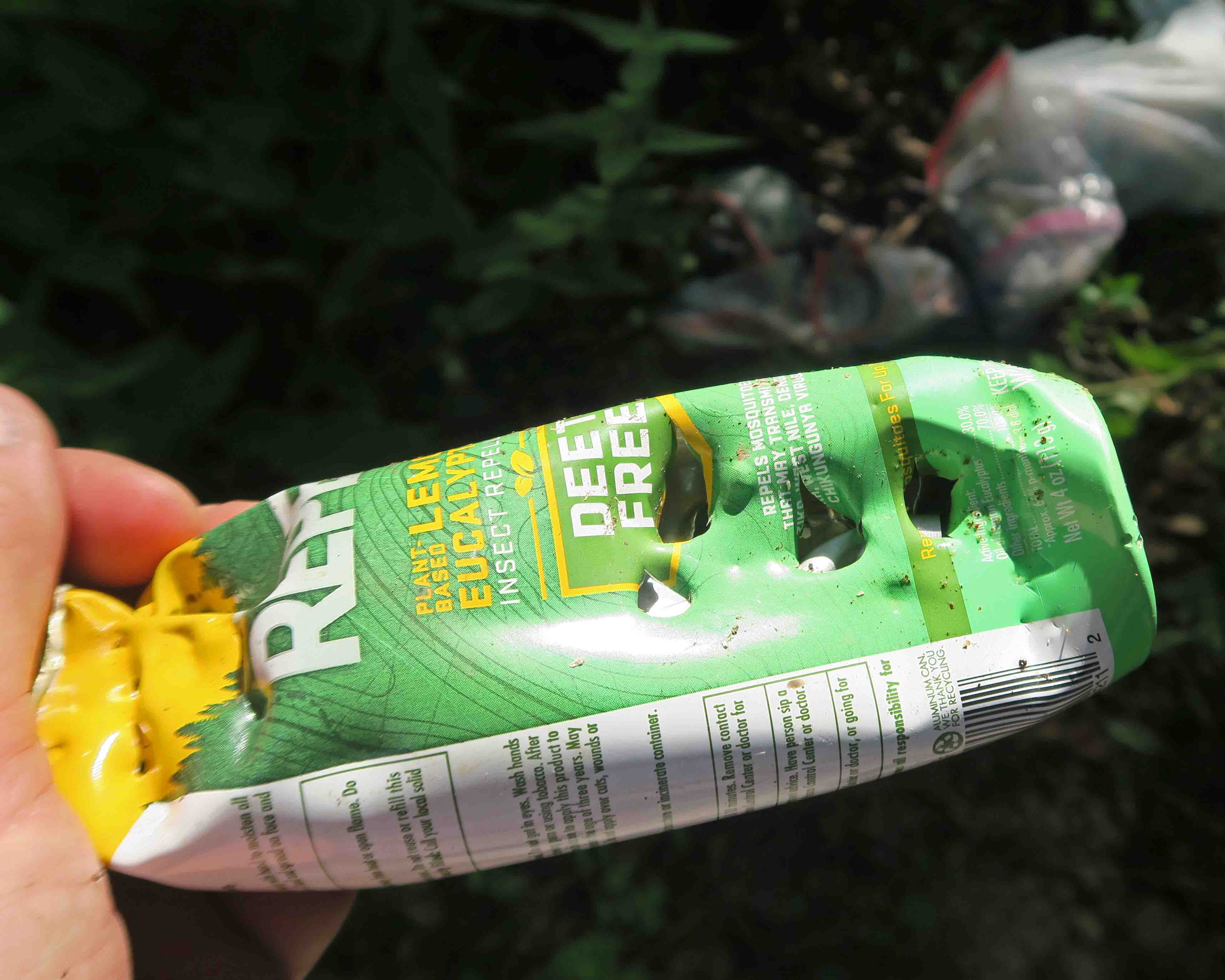
These weren’t Leave No Trace (LNT) folks! I think of the seven LNT principles as a pass/fail assessment. If you don’t follow just one principle, damage is done. What we saw here represented at least two principles:
#1 Plan Ahead and Prepare – NO
#3 Dispose of Waste Properly – NO
It’s sad to see trash left on the trail, but it feels good to leave the trail better than you find it. Hiker-dog seemed pleased with the clean spot we left behind.

I regret to report that we violated the fourth LNT principle (leave what you find) because we carried a few ticks out of the woods. Maybe we can be forgiven since they hitched a ride with us against our will.


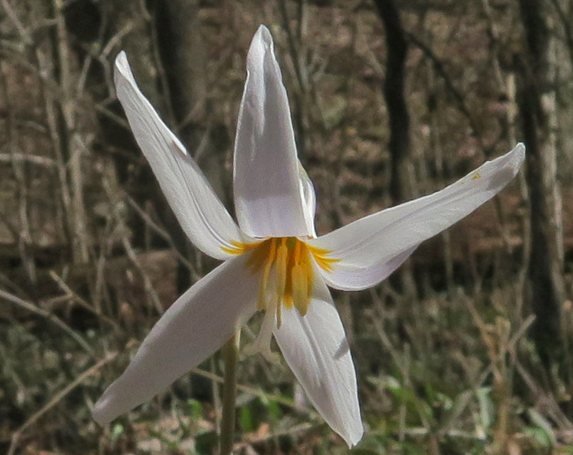


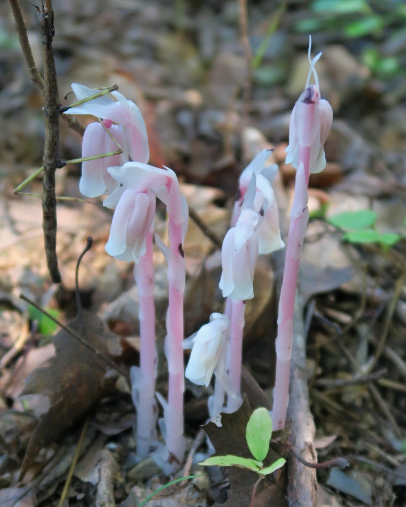


 We were unsure about the following bloom or early plan growth resembling a flower. Does anyone have an idea about what this is? If so, I’ll update this post. The stalk reminds us of a Devils Walking Stick, but we’re not sure. (May 10 update – Thanks to reader, Miranda Kohout for sharing that this is the early growth of a hickory tree.)
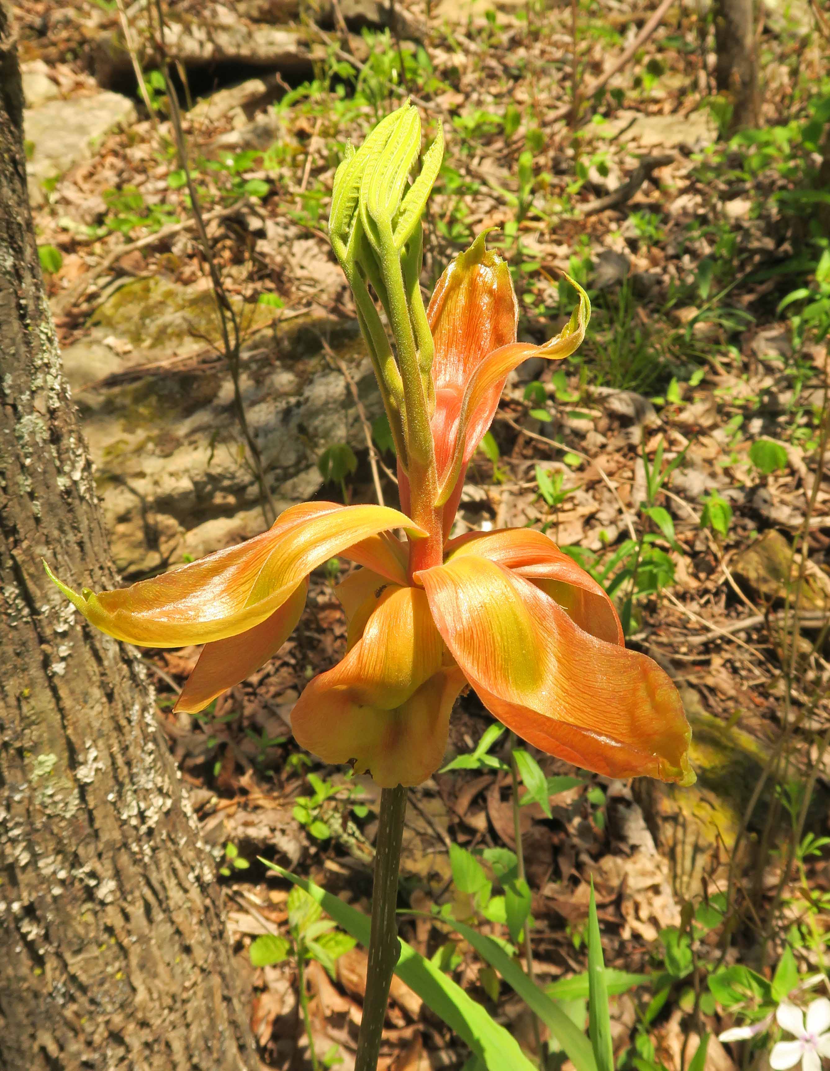
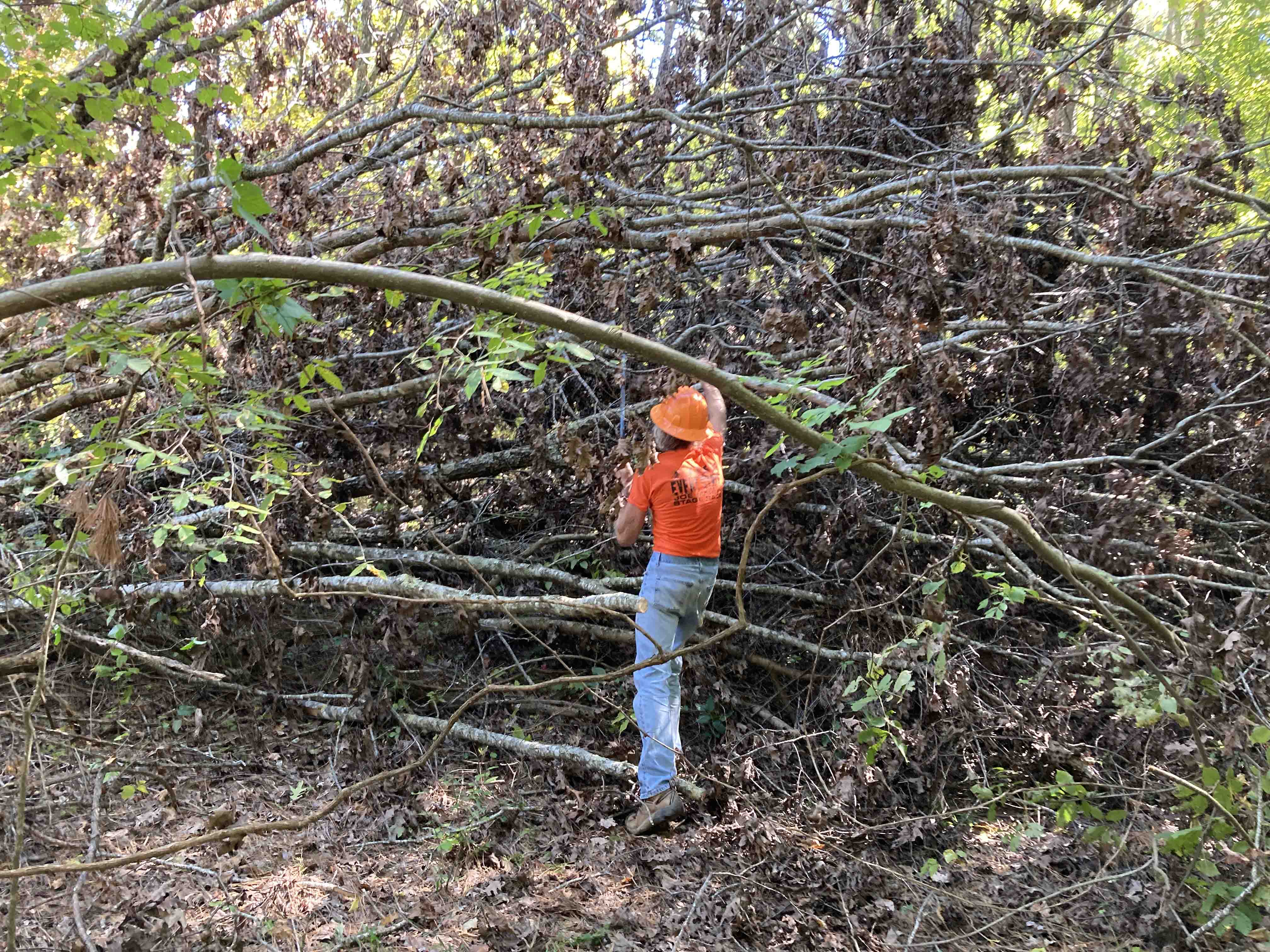
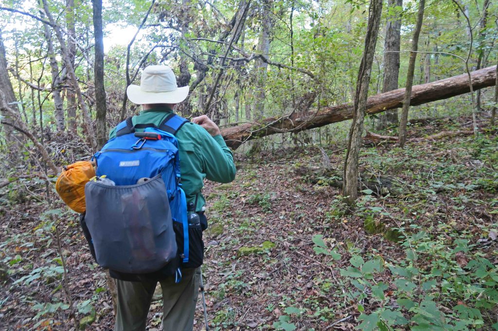
 I stopped and used my small handsaw on a few limbs and trees across the trail. Love that little saw and am amazed at what it will cut. My task on this evening was to look for trees that might need to be cut out by an expert sawyer, so I stopped to set GPS waypoints and make quick notes where future cuts might be required.

 Hiker-dog provided lots of entertainment on the dark portion of our hike. Two reflective eyes kept popping up out ahead of me as she turned to be sure I was following. These eyes helped me stay on the trail a couple of times, especially when I crossed a creek and then wasn’t sure which way the path went afterward. Sure enough, eyes could be seen staring at me as if wondering what I was waiting for. I took note that any future hikes after dark should include Hiker-dog and she added to