
Chally Sims, Scott, and Carolyn Crook, celebrating Pack Rat’s 40th year
“When I was 19 he gave me a chance to come and work for him. That changed my life and opened opportunities I would have most likely never have had. I’ll never forget his dry wit and work ethic. Farewell friend.” ~ Rick Spicer, Pack Rat Outdoor Center

Rick Spicer, with Pack Rat Outdoor Center
Rick’s words of tribute were the kindest way I could have heard of Scott’s death. Rick is one of many excellent young people that Scott and Carolyn Crook employed over the years. Scott and Carolyn sold outdoor supplies from their garage in the early 70s and built it into a thriving business that has a positive impact on Fayetteville and Northwest Arkansas. On my many visits to the store, I learned that employees view working for Pack Rat Out Door Center as much more than a job. There’s a team mentality and those who work there have a passion for the outdoors, the environment, and low impact business practices.

Photo courtesy of Pack Rat
I first met Scott in 2001 while in a photography workshop taught by Tim Ernst. The class portion was at the Pack Rat, the most amazing outdoor store I had ever visited. After a day of photography in the Ozarks, the soft-spoken Scott showed up in a sports car to pick up our slide film and race it back to Fayetteville, so we would have photos for analysis during our evening session.
A few years later, I got to know Scott and Carolyn as the sweet couple who brought supplies and made coffee for Ozark Highlands Trail Association (OHTA) meetings. I also noticed that whenever funds were needed for a project, Scott or Carolyn would quietly make a donation. When the OHTA needed leadership, Scott stepped up to fill in as president of the organization.
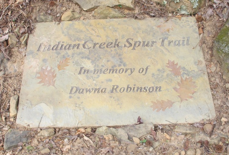
Stone memorial for Dawna Robinson, one small example of Scott’s donations
During one of our visits, Scott mentioned that he had fond memories of building the Ozark Highlands Trail (OHT) west of Dockery Gap. That was my adopted section to maintain, so I often think of him when walking or checking those four miles. I can imagine him doing some of the original side-hilling as I walk along.
Scott and I also visited about our mutual love of the Grand Canyon. Later, when they were moving their store, I got a call from Carolyn to see if I would like a large geological map they had of “The Canyon.” She sent the map to me, and I used it in presentations with students and other hikers.

Photo courtesy of Pack Rat
Several years ago, awards were presented to volunteers who were instrumental in the development and maintenance of the Ozark Highlands Trail. Scott and Carolyn Crook received an award for their commitment and many years of service.

Scott and Carolyn receiving the Eagle Service Award from Boy Scouts of America
Nothing brings out someone’s strength like adversity. When Scott became ill with Parkinson’s Disease, his tenacity and dedication became all the more evident. He continued to attend OHTA meetings and would still speak up when wanting to put funding behind a project. Carolyn demonstrated amazing commitment as she assisted in his care and remained active in work and as a volunteer.
Scott was a quiet person, but I noticed that heads turned and eyes fixed on him if he spoke. When his speech was unclear due to Parkinson’s Disease, no one minded if it took a few seconds to understand what he was trying to say. As his illness progressed, he would often communicate his thought to Carolyn, and she would relay it to the group. I only saw portions of their lives, but they were a lifelong team and their love for each other, and the outdoors, was evident in everything they did.
Farewell to our wonderful friend.

Photo courtesy of Pack Rat
Scott Crook’s Obituary
We are very sad to inform you that our founder and owner Scott W. Crook, 72, departed this world for his next adventure June 10, 2019 surrounded by loved ones and family.
Scott was born February 6, 1947 in Atlanta, Georgia to James and Mary Crook, who raised him, his brother and two sisters in an Air Force family moving all over the country.
Scott earned a degree in Chemistry from Centenary College in Shreveport, Louisiana, he moved to Fayetteville to pursue a post graduate degree in Organic Chemistry at the University of Arkansas, where he met and married the love of his life, Carolyn while she was pursuing post-doctoral research. They were married on September 30th, 1971.
He loved the outdoors and animals. Scott’s father started him fishing from the time he could hold a pole, and he pursued becoming an Eagle Scout to be outdoors as much as he could. Growing up, Scott’s family always had small pets, including flying squirrels. Carolyn and Scott have kept up the Crook tradition of keeping flying squirrels as pets to this day. Barney and Simon are both about 10 years old.
After a backpacking trip with some friends in Wyoming, Scott and Carolyn realized the nearest outdoor outfitting store was over two hours away in Tulsa, Oklahoma. Wanting to bring outdoor supplies closer to home, they opened Pack Rat Outdoor Center in 1973. Pack Rat is a Fayetteville icon and has become one of the most influential and philanthropic local business in the Northwest Arkansas region.
Scott was one of the original members of the Ozark Highlands Trail Association and with Carolyn, he remained committed to the outdoors with his involvement in the Southern Utah Wilderness Association, the Nature Conservancy of Arkansas, National Audubon Society, Trout Unlimited, the Sierra Club and a life-long member of the Ozark Society.
Scott made Northwest Arkansas and the world a better place through his passion and devotions to the outdoors. His contributions will be remembered and missed.


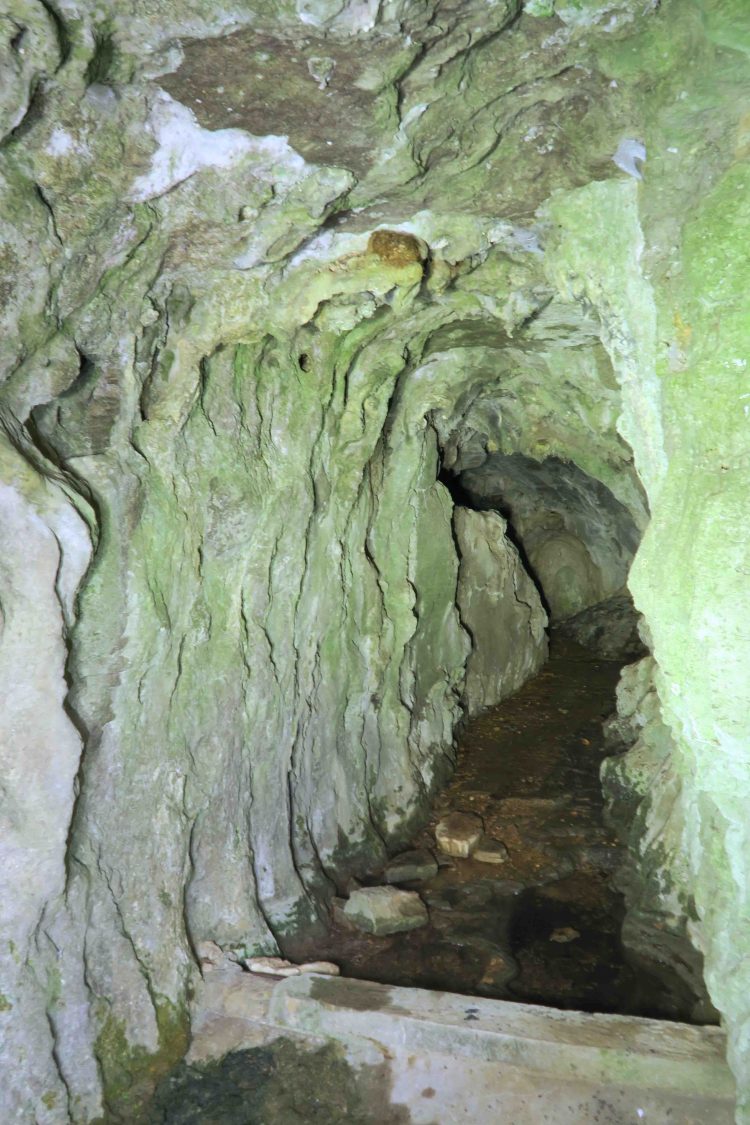
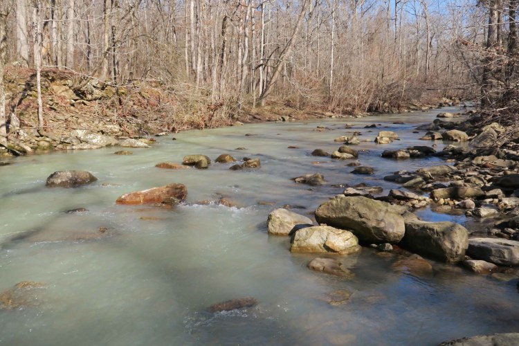
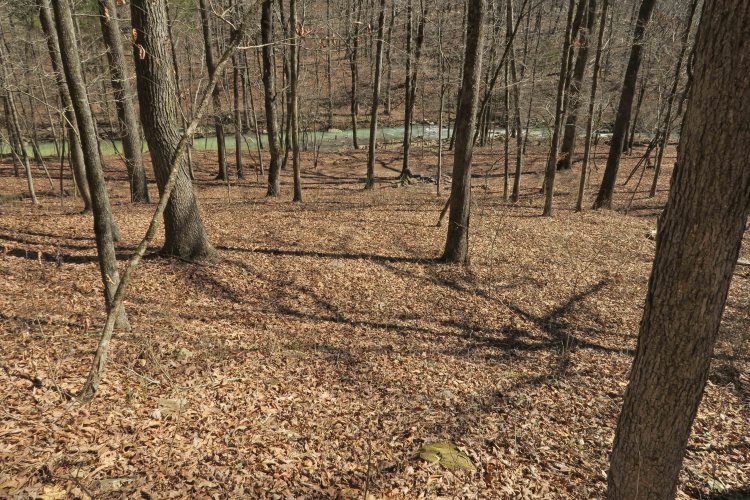
 I filled my water bottle twice, the first time simply dipping into one of the side streams that flow into Jack Creek. The second refill came from this favorite spot where water usually flows across moss-covered rocks before crossing the trail.

 Using the Ozark Trail Association website
 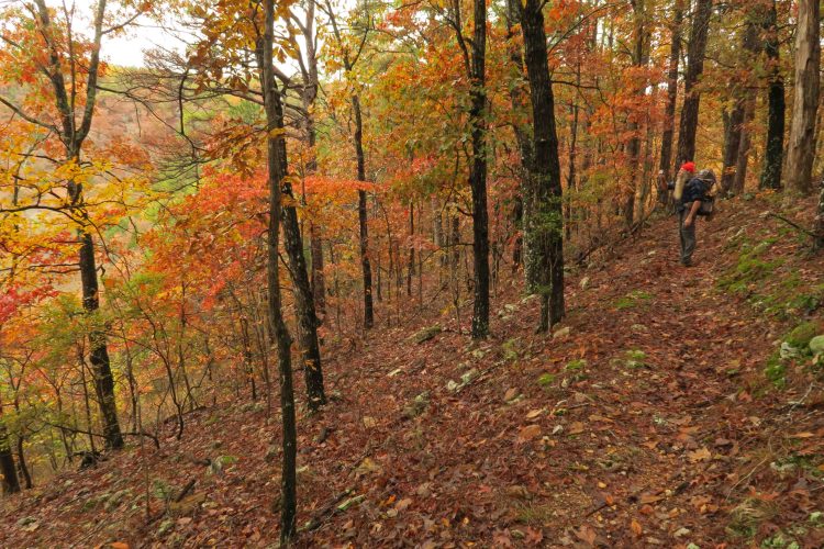 As we set foot on the trail Saturday morning, we were immediately captured by the fall colors. The first day flew by, and we arrived at Bockman Spring early in the afternoon.
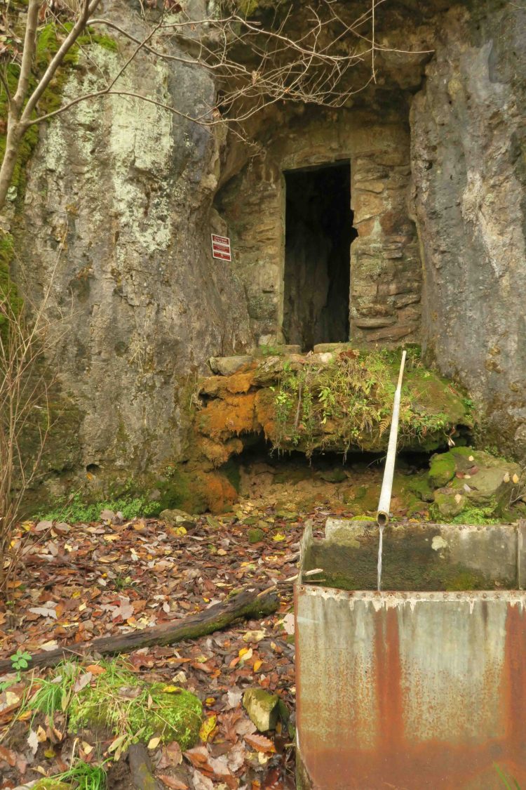


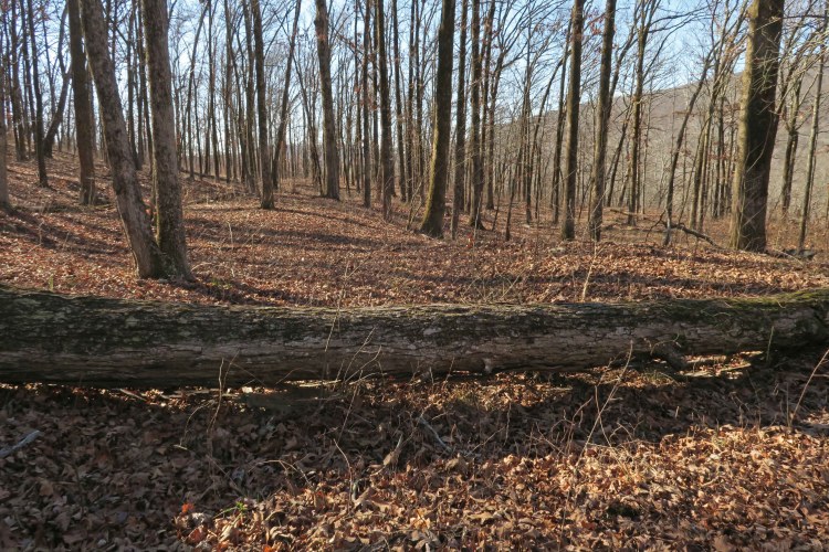
 After passing Greer Recreation Area, we followed the upland route. We toured the well maintained Bristol Cemetery that contained grave sites from the 1800s and early 1900s.


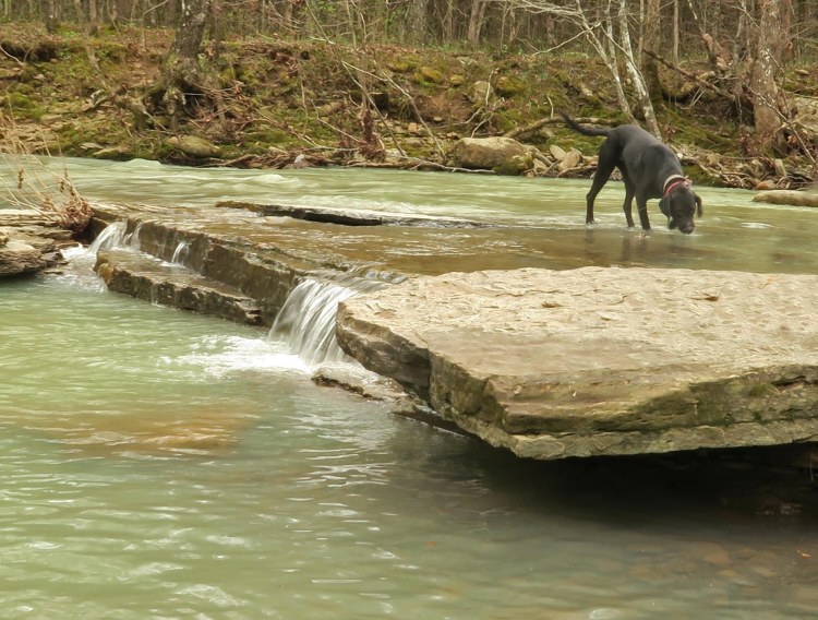

 Water was plentiful. This was my first filterless backpacking trip using only water treatment drops, so I enjoyed “selecting” my water from any number of small streams we passed.
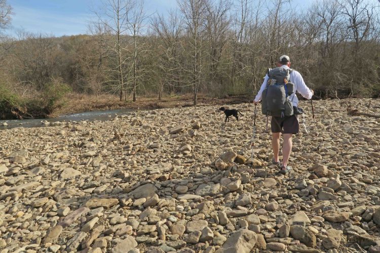
 We met a family camped at mile 10. While visiting with the father, Luke, I was impressed with his two young daughters’ ability to run without pain


 A White Trout Lilly greeted us as we approached the edge of Spirits Creek. We sat beside the water and enjoyed the sound.


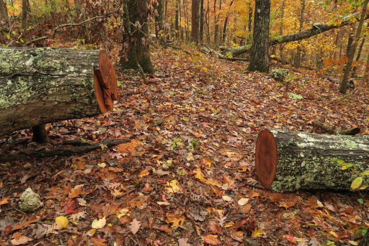
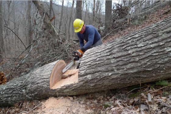
 A big thank you to trail maintainers! The trail passed through a couple of devil’s walking stick forests, but they were cut back away from the trail.
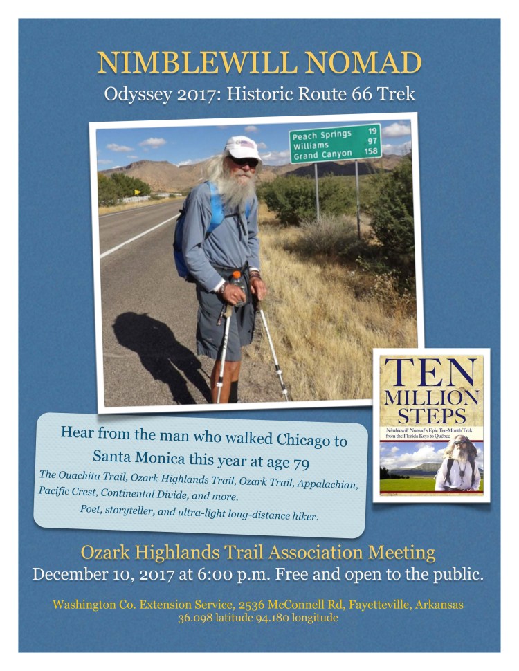 I had the pleasure of hearing Nimblewill’s presentation two years ago and am looking forward to stories from his recent trek on Historic Route 66 from Chicago to the west coast. He’s an inspiration to all who meet him, so mark your calendar for December 10 so you don’t miss this opportunity!