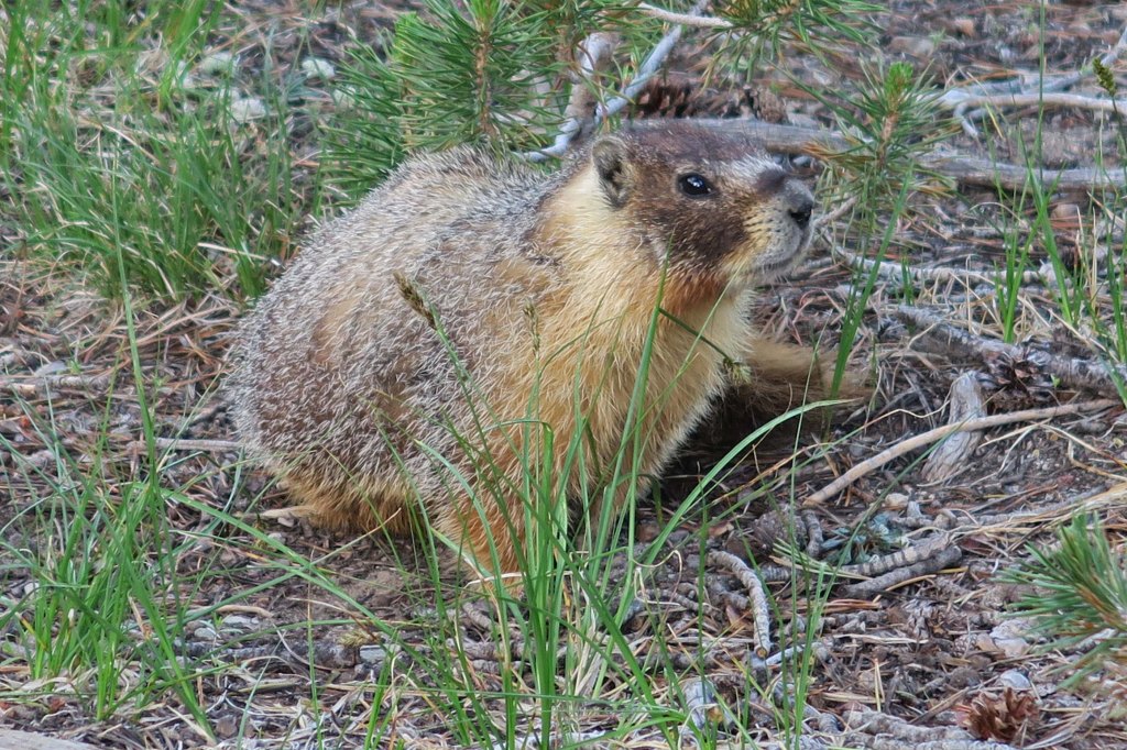
Beginnings:
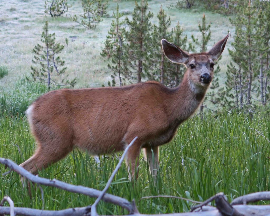
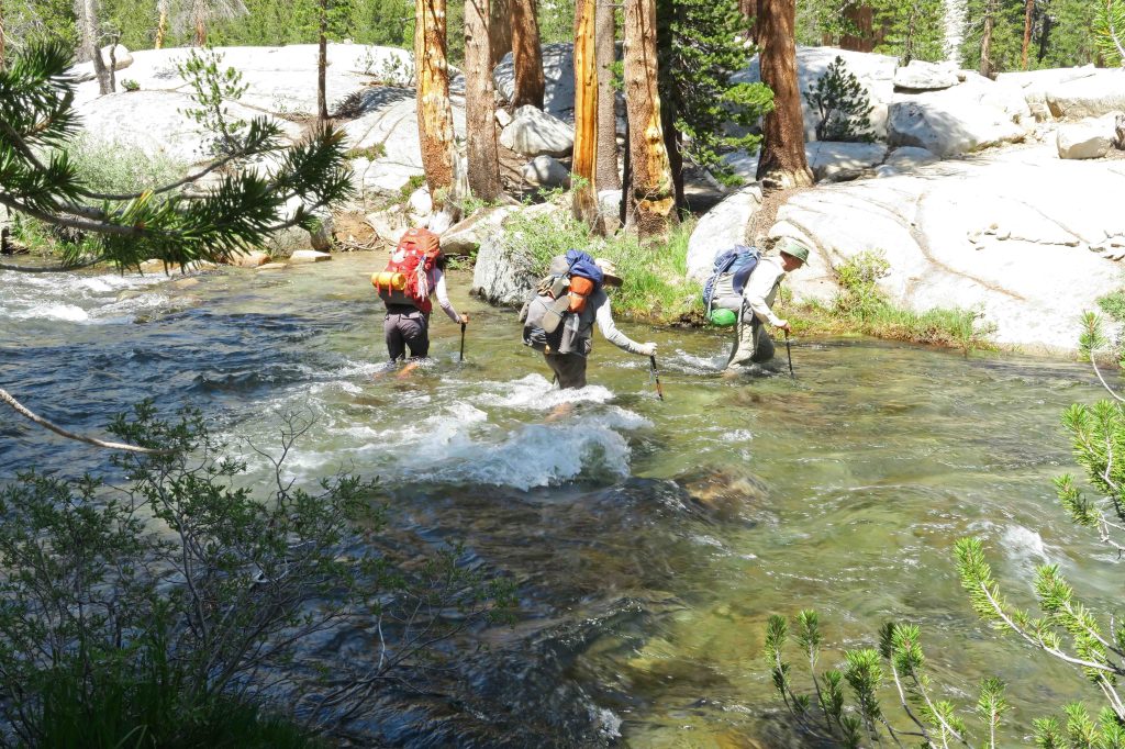
We began our twenty-one days on the trail from Tuolumne Meadows with a stroll through Lyell Canyon. We were excited to finally take steps on the trail after months of planning. At our first campsite, Mark Fincher, with 25 years experience as a park ranger, gave us some good advice about bears. Anything hanging from a tree signals food to a bear. Hanging your pack up could cause a bear to tamper with something they’d ignore if it were sitting on the ground and lacking a scent. From then on all packs sat unzipped next to tents and we stored scented items and food inside bear canisters. We never had a bear problem.
A first low:
My second day was most difficult. It was warm. I felt weak and allowed myself to become a little dehydrated. I forced dinner down and slept. This was going to be more difficult than I’d expected!
Bouncing back:
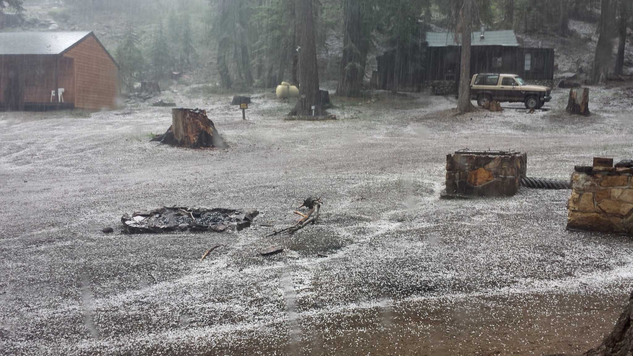
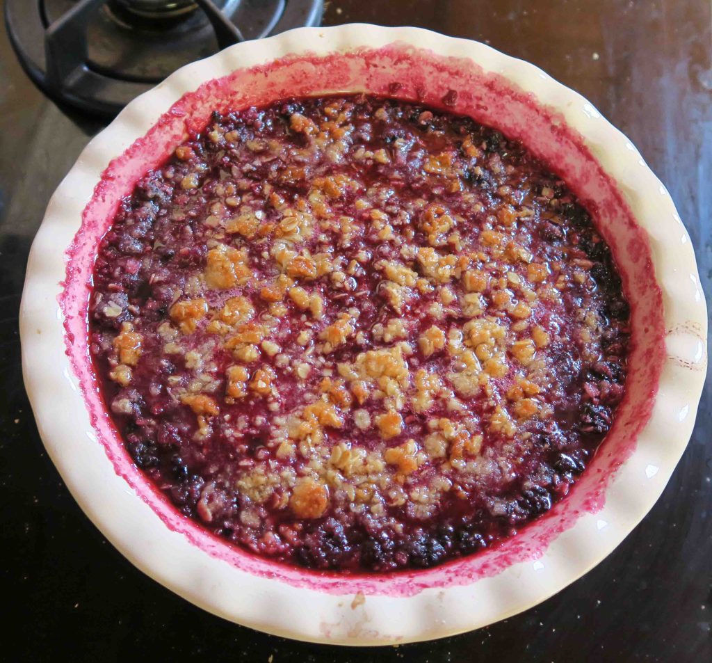
Felt much better for day 3 and fell into a rhythm that sustained. We breezed into Reds Meadow and had a wonderful lunch. During the afternoon, I felt guilty watching a hailstorm and rain through the grill’s window while enjoying blueberry pie and four scoops of ice cream. For the remaining twenty days on the trail, I thought of that blueberry pie every time I looked up at sunny blue skies.

Plumber Joe or Plunger?:
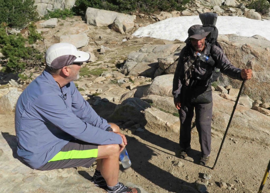
While in the restroom, a neighboring toilet became stopped up. The hiker calmly walked out and returned to the stall with a plunger and quickly cleared the problem. His buddy said, “Your trail name should be Plummer Joe.” I could tell he didn’t care for the name and suggested Plunger as a possible name. He liked Plunger because it was open to many interpretations. They were hiking the Pacific Crest Trail. I wonder if the name stuck?
Falling into the rhythm of the trail:
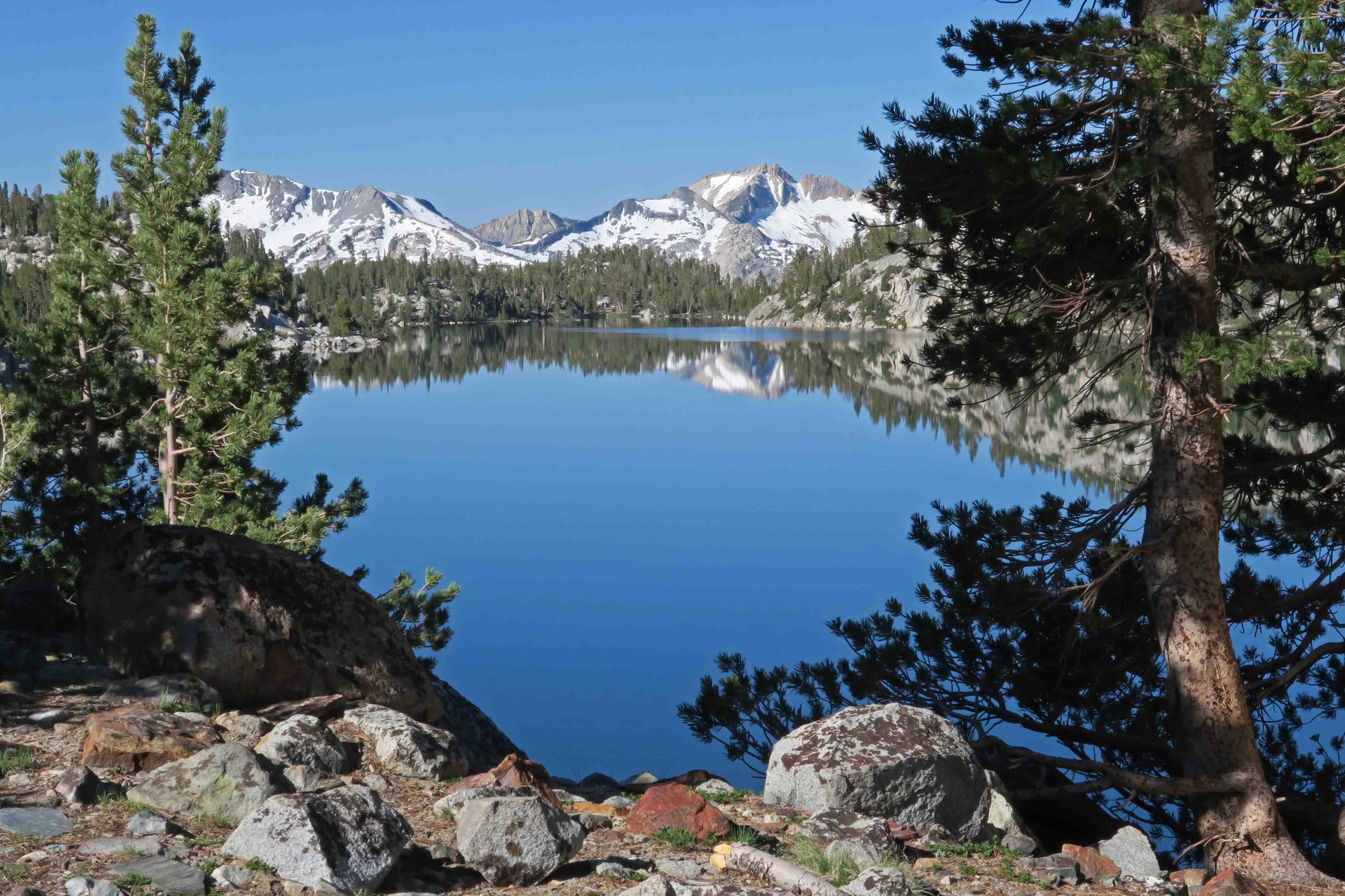
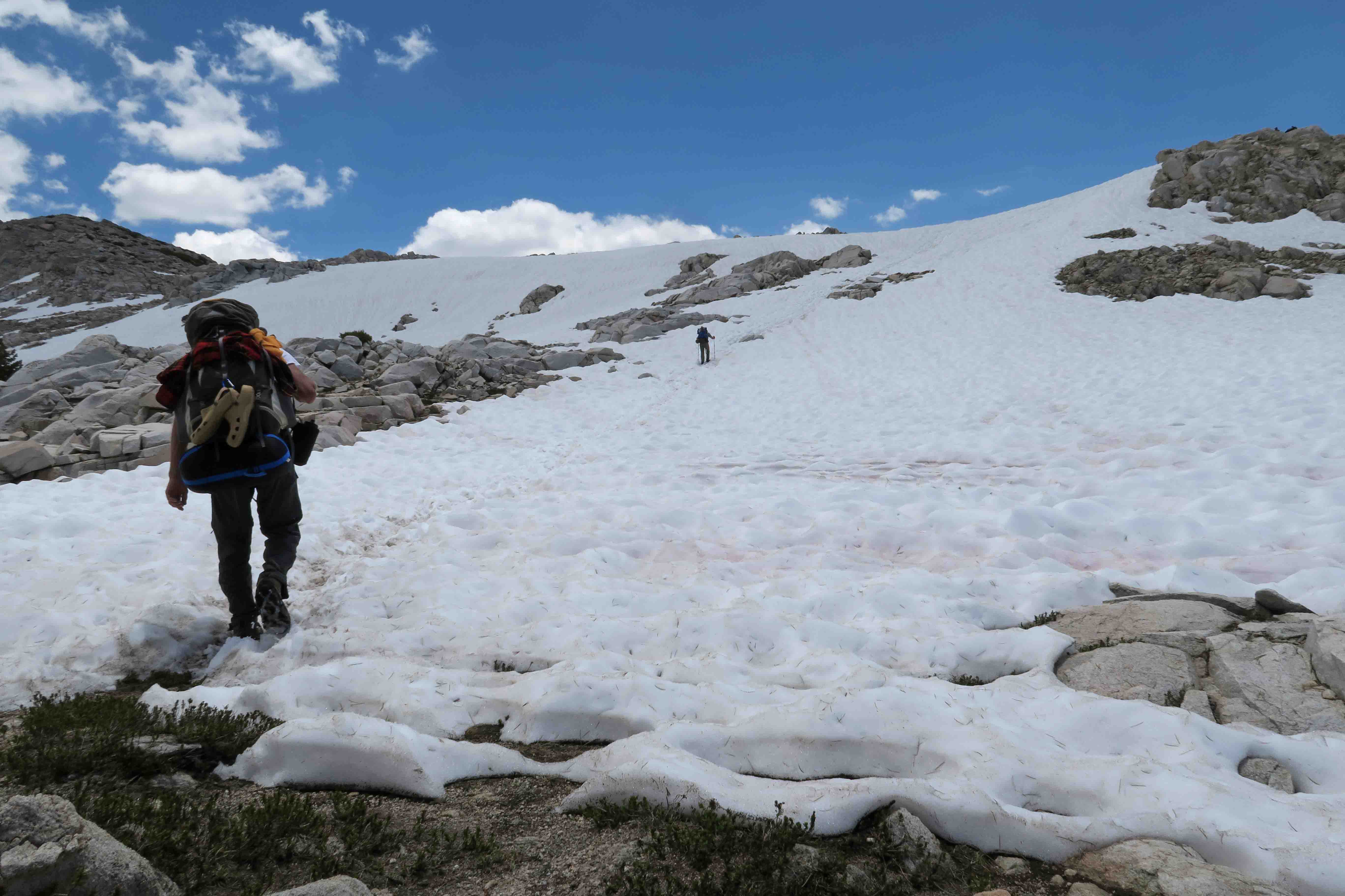
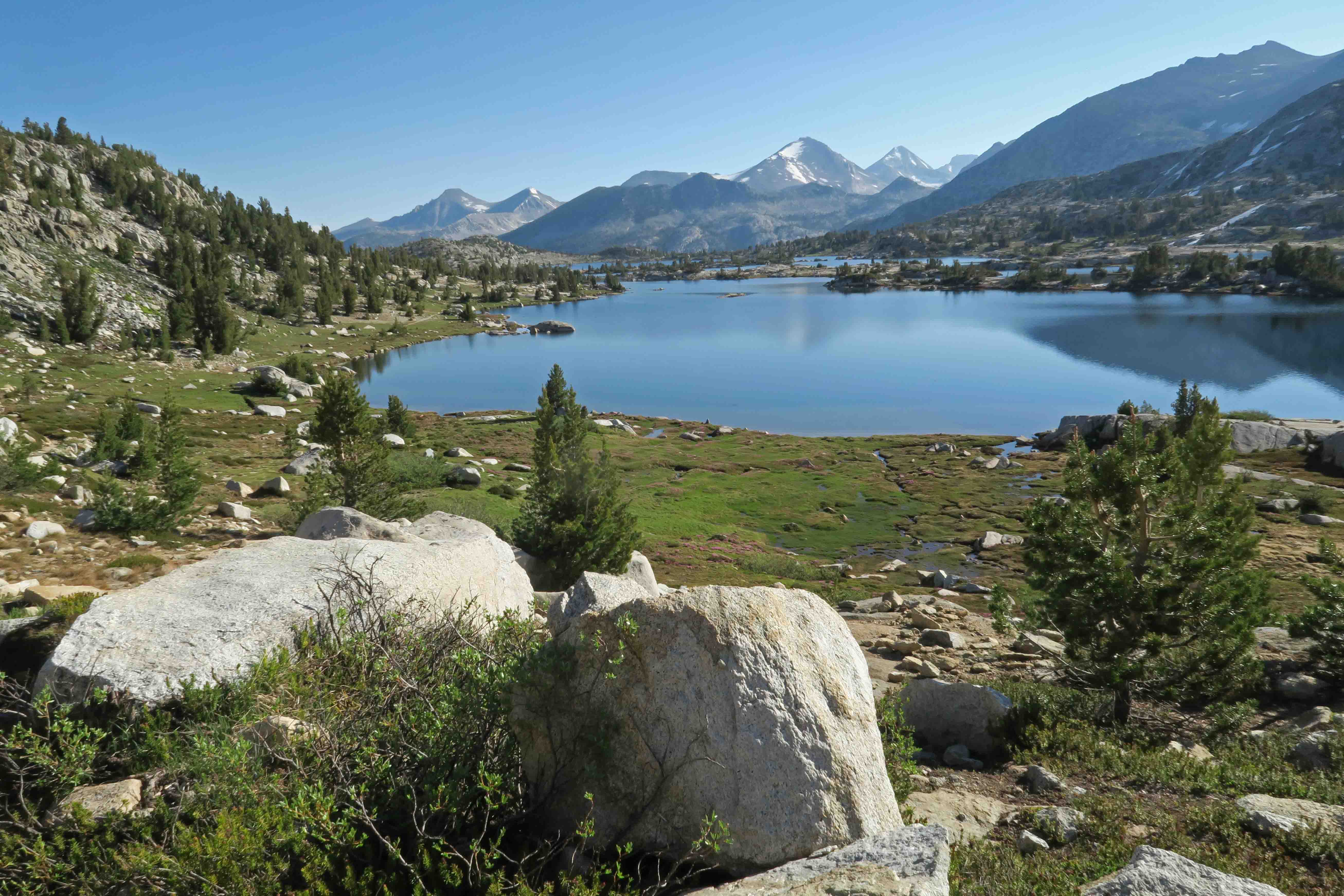
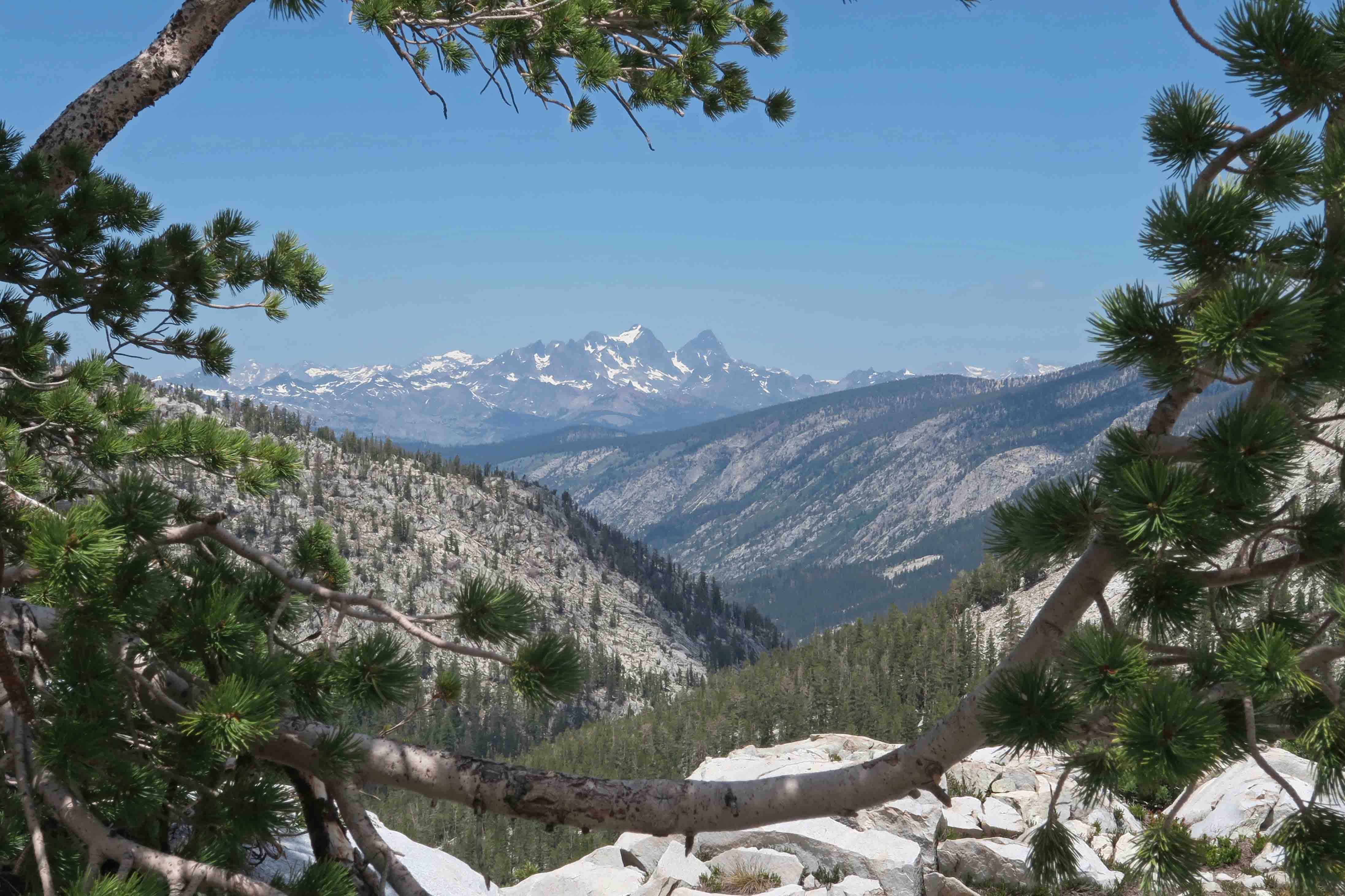
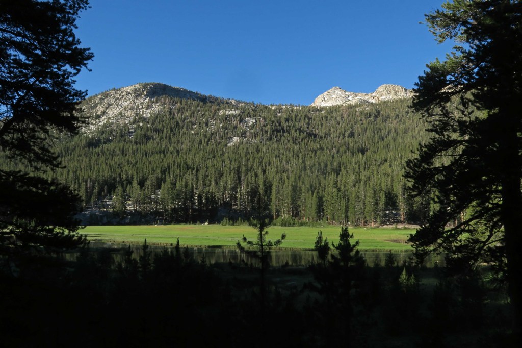
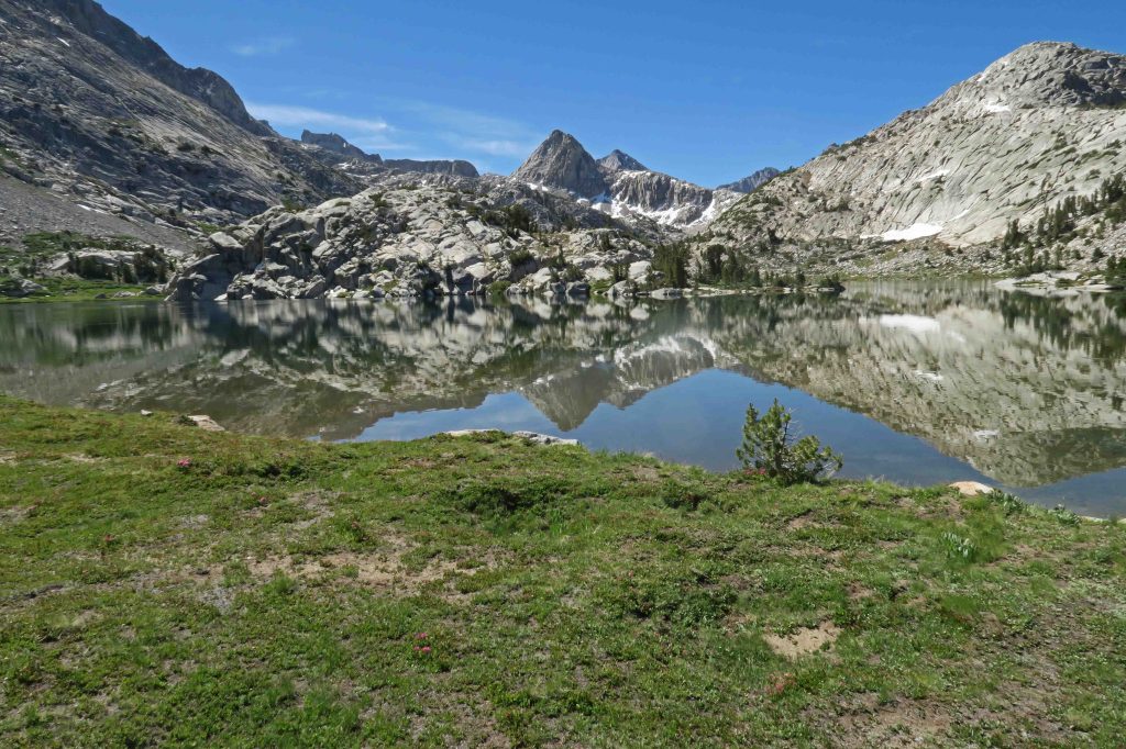
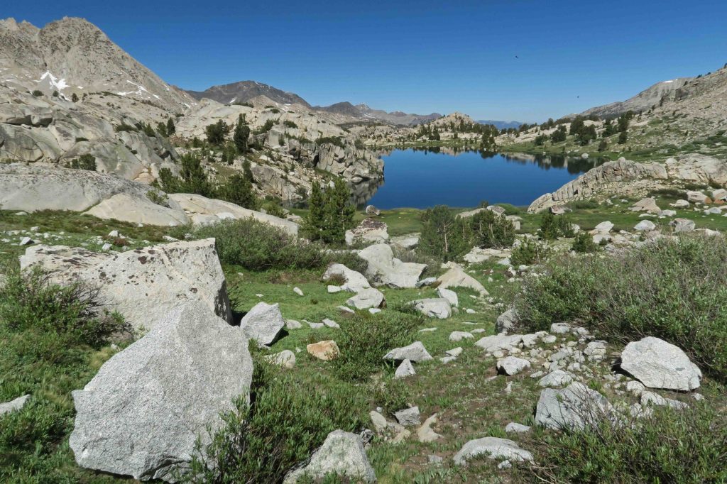
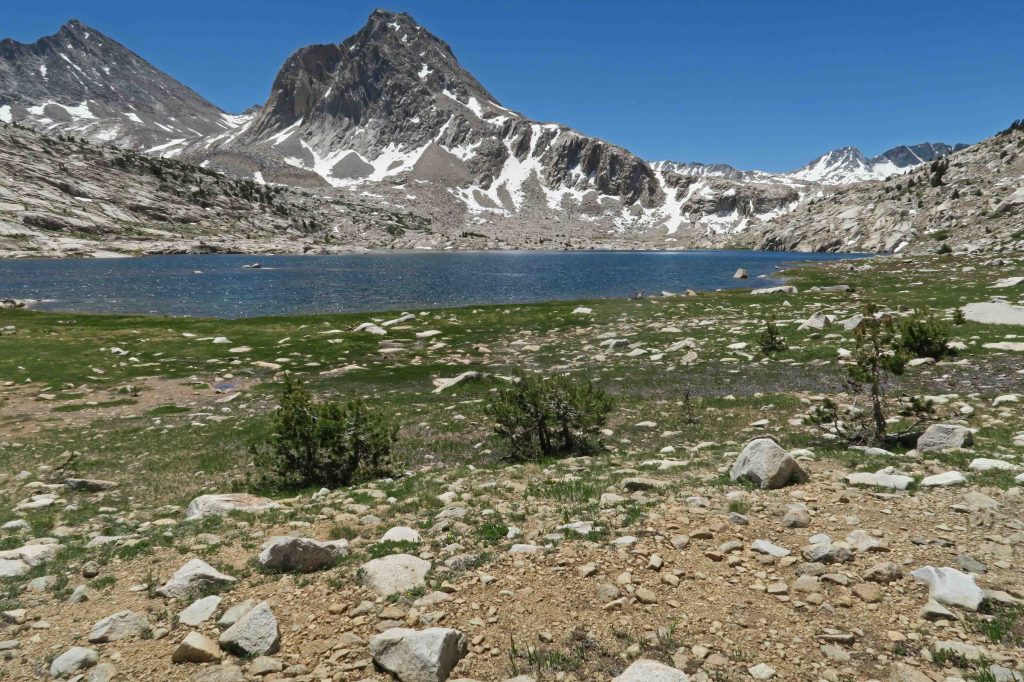
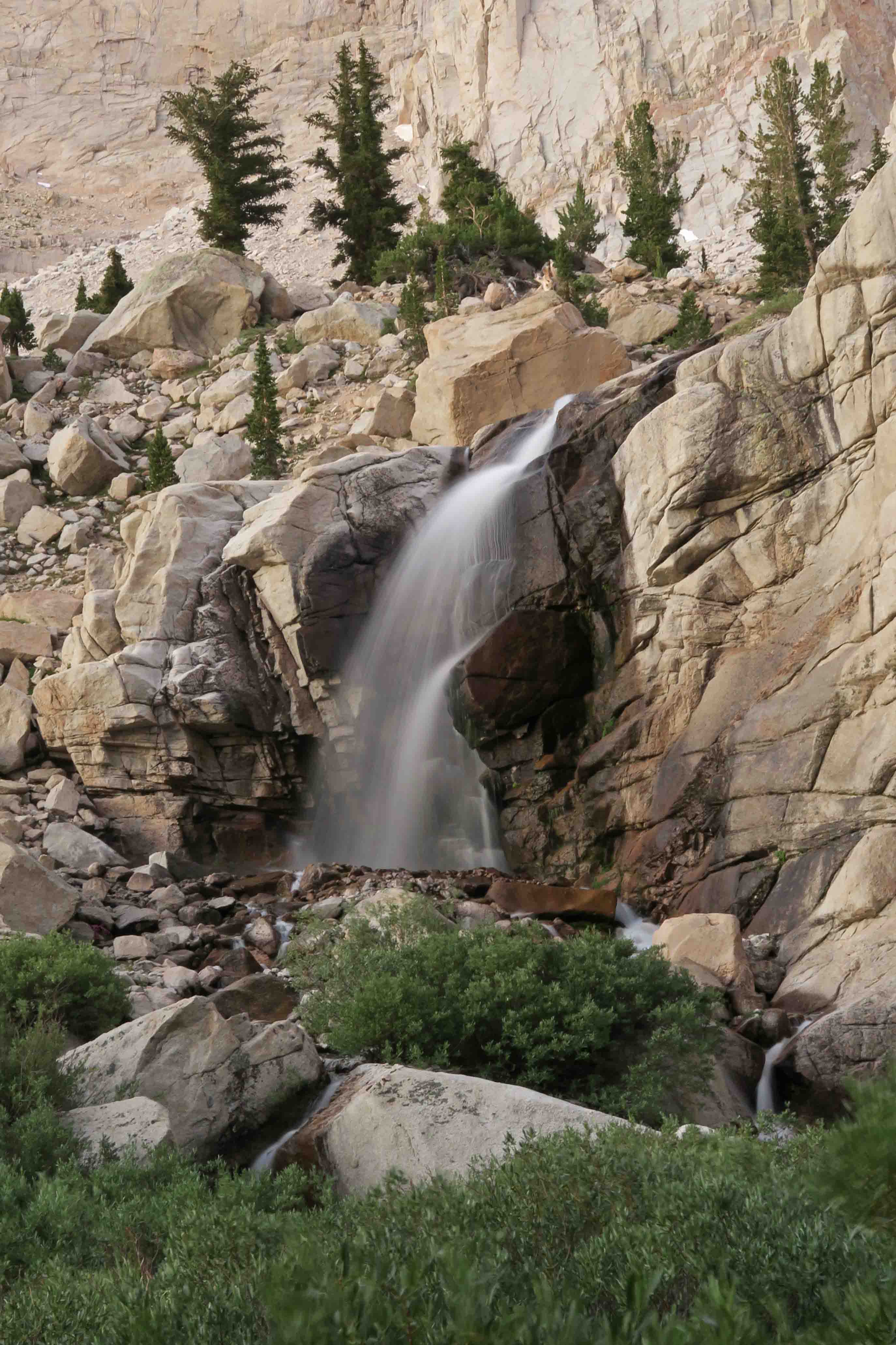
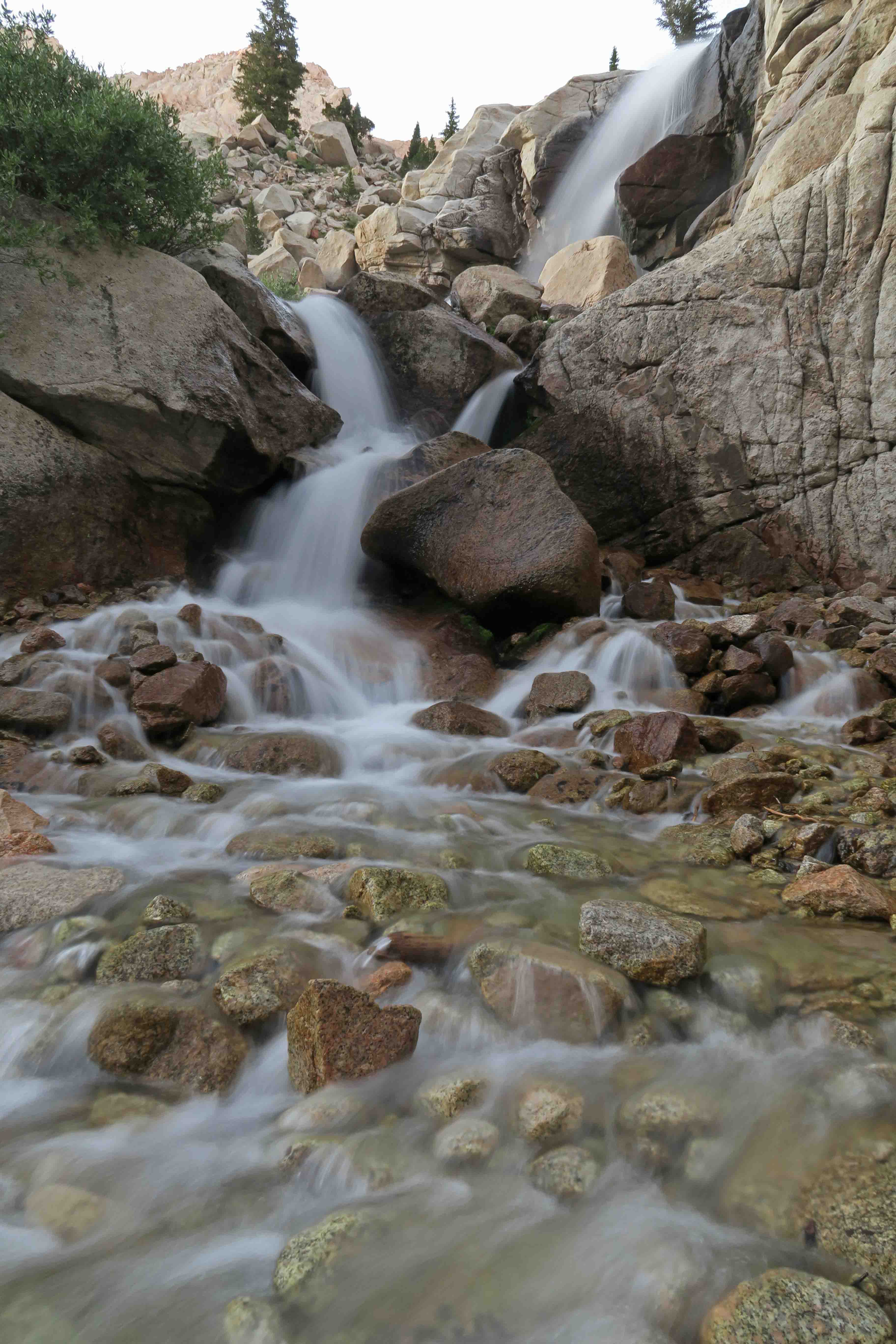
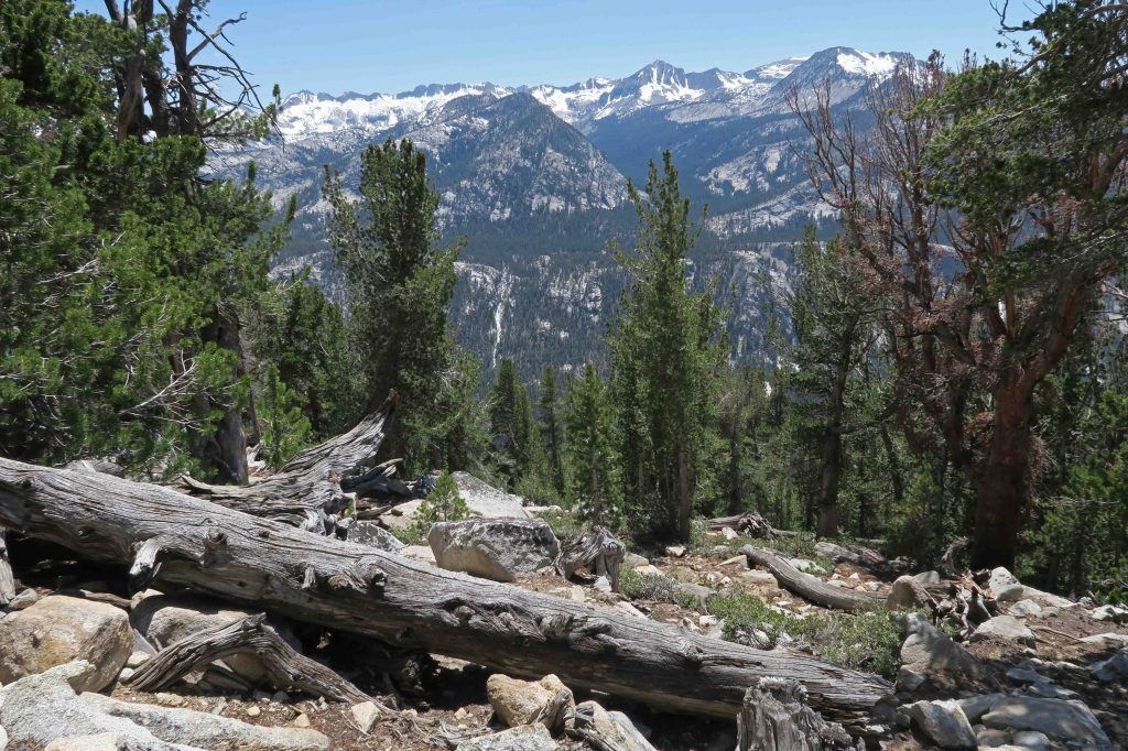
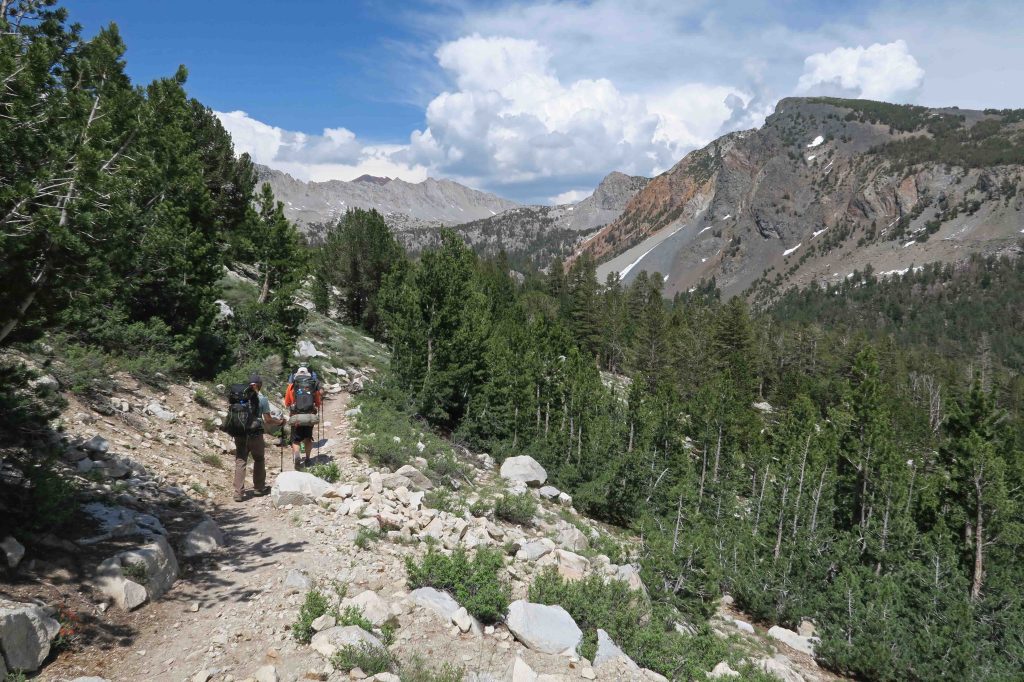
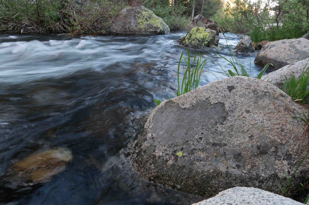
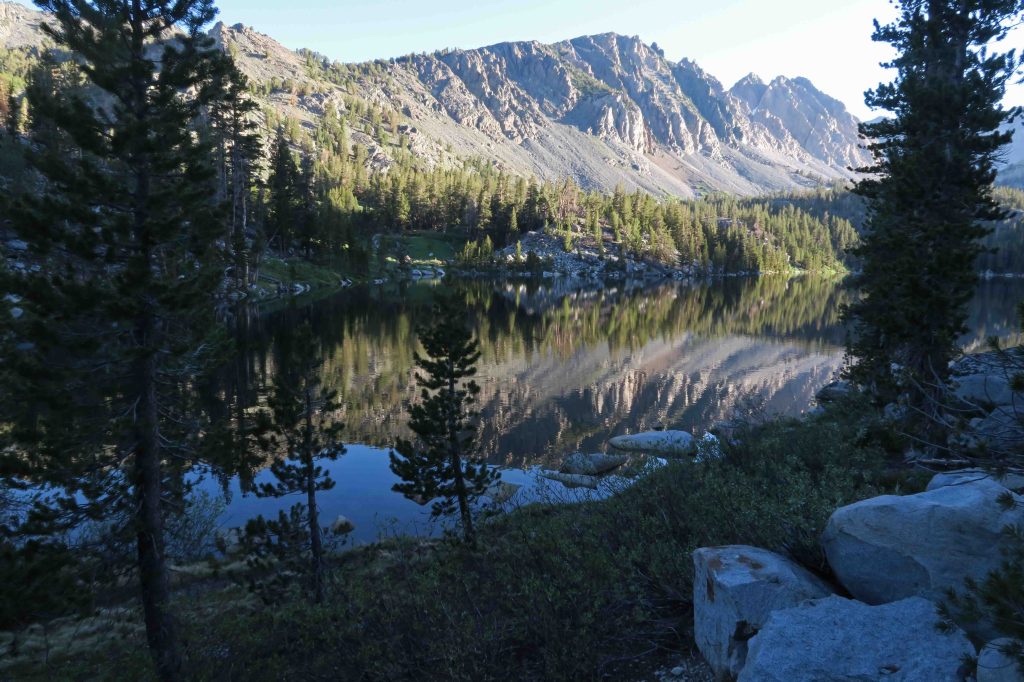
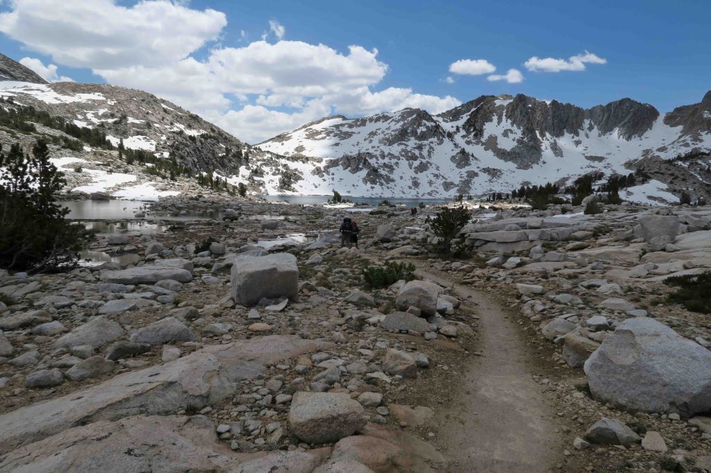
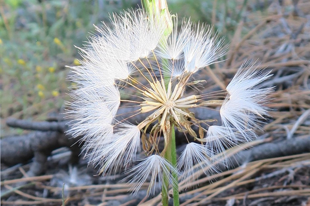
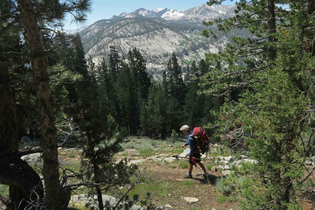
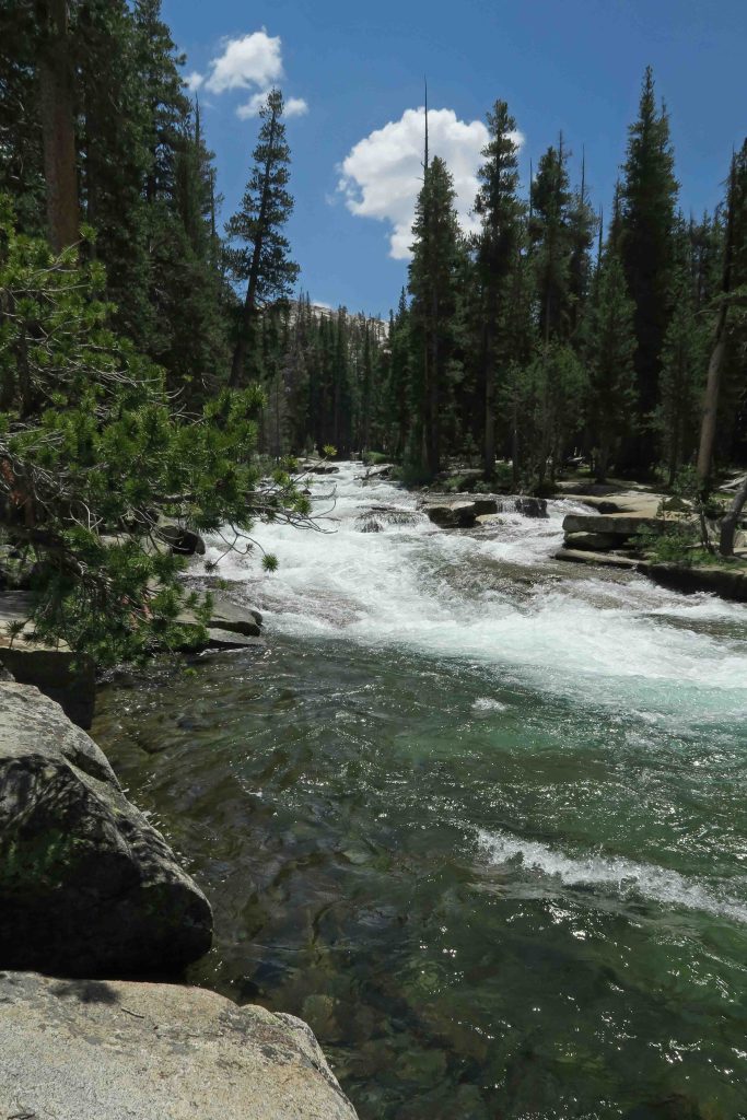
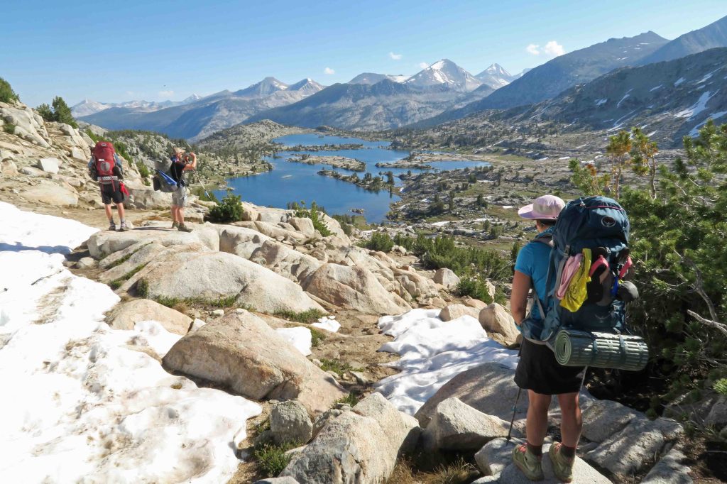
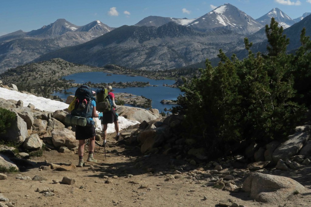
Part of the rhythm of the JMT is thinking in terms of seven miles of up or down rather than lots of shorter ups and downs as we often see in the Ozarks. Bookmarking the patterns of the trail were high passes and stair-stepped glacier-formed lakes. Each pass was an adventure and held unknown challenges of snow, water, boulders, and climbs. Each series of lakes continued to surprise as we ascended only to learn that the map was correct, and another lake was draining into the one we just passed. Each glacial lake was a visual ornament that sparkled and reflected its surrounding beauty.


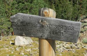
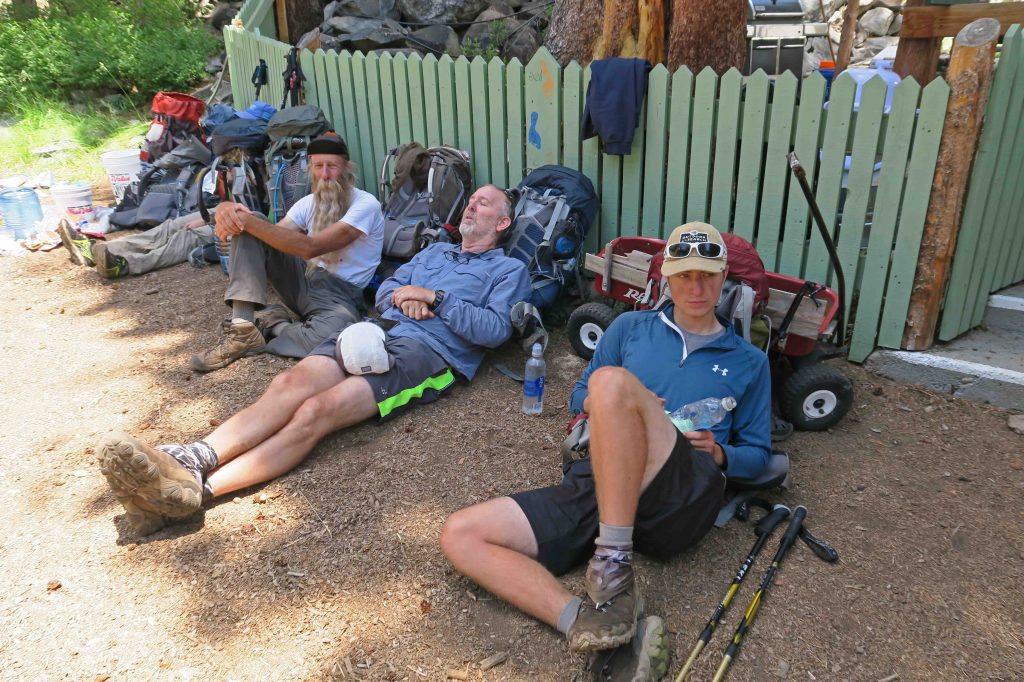
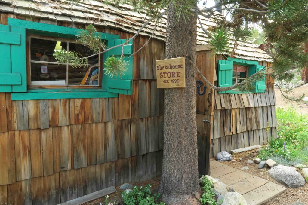
Way, way down to the Muir Trail Ranch:
We descended a series of switchbacks, and the isolation of Muir Trail Ranch (MTR) became a reality to me. I expected to see a large sign at the junction marking the spur to the ranch, but this modest sign marked the way.
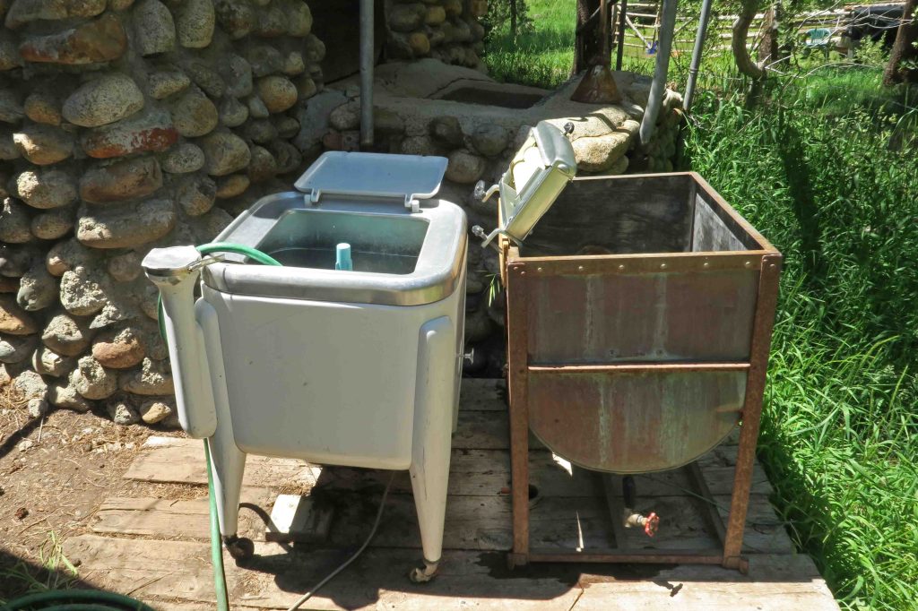
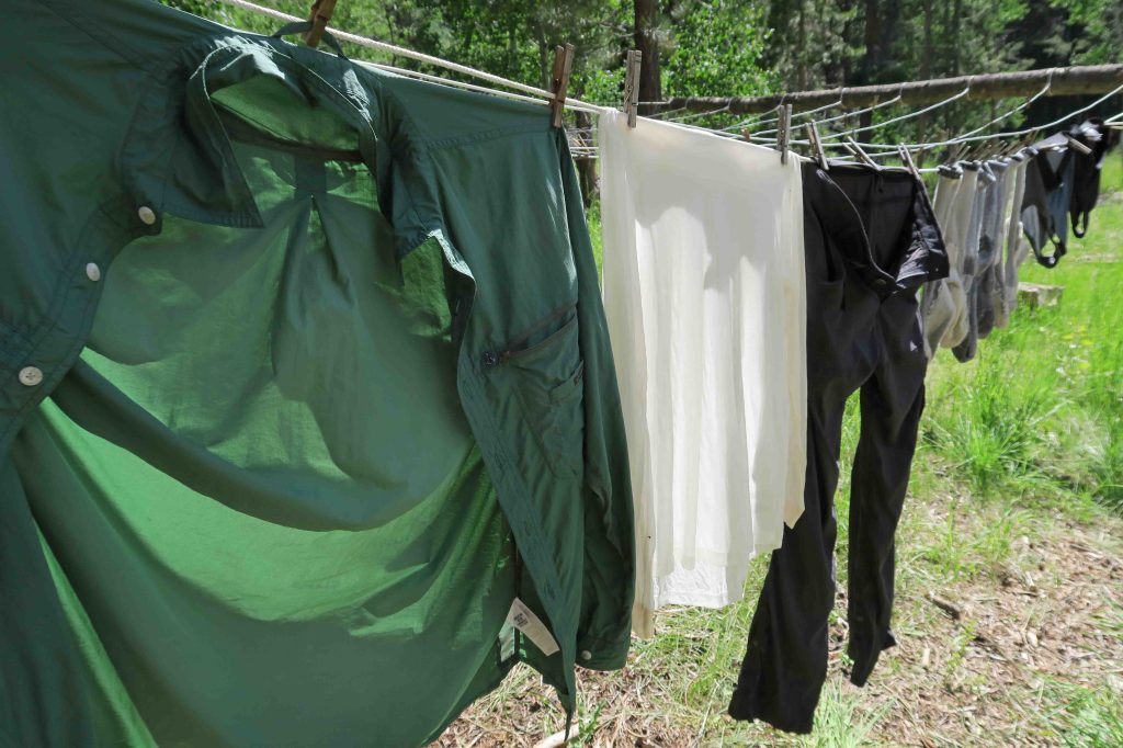
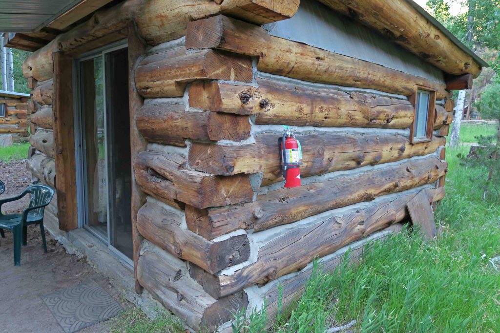
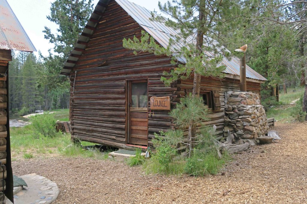
We had reservations for two cabins. Thus began a true zero-day that was a delight. The outdoor shower was wonderful, and it was a pleasure to wash and hang clothes to dry. The dining hall served baked salmon and salad, an amazing feast considering our remote location.
A change of plans:
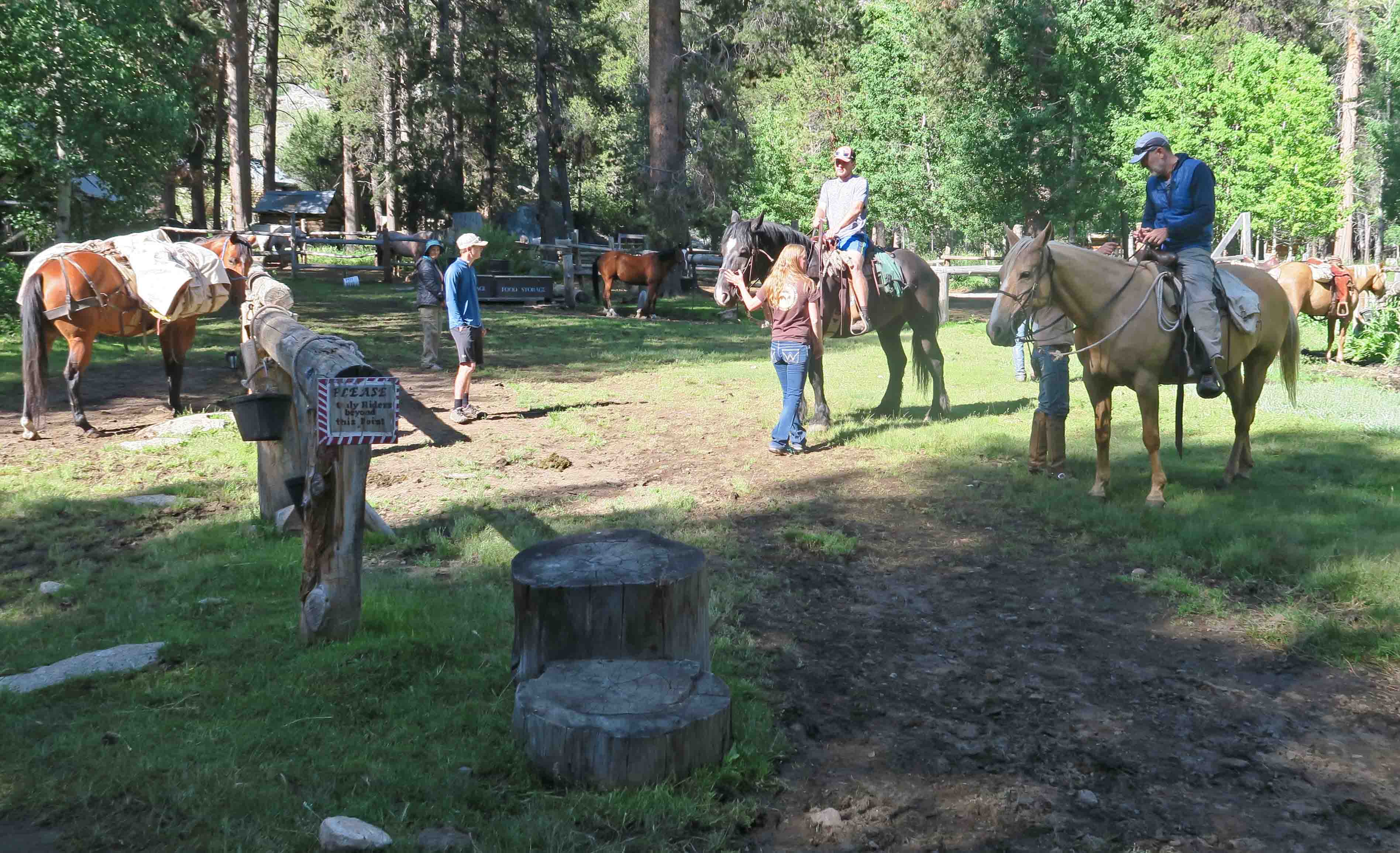
After our zero-day, one of our partners spent the night throwing up and felt very ill the following morning. We suggested camping an additional night for recovery time, but Nick wisely decided to leave the trail. He also took his two sons, so our group of five was now two. His departure from the trail was not easy. It involved a 9:00 a.m. horseback ride lasting over two hours, then taking a ferry across Florence Lake and a shuttle on a narrow hazardous road before finally arriving in Fresno, California at 6:00 p.m.
For a couple of days, there seemed to be a sense of gloom over the trail because our three friends were not with us. The beauty of the wilderness was still stunning, and acceptance took hold as we continued our trek, knowing they’d made the right decision for health and safety.
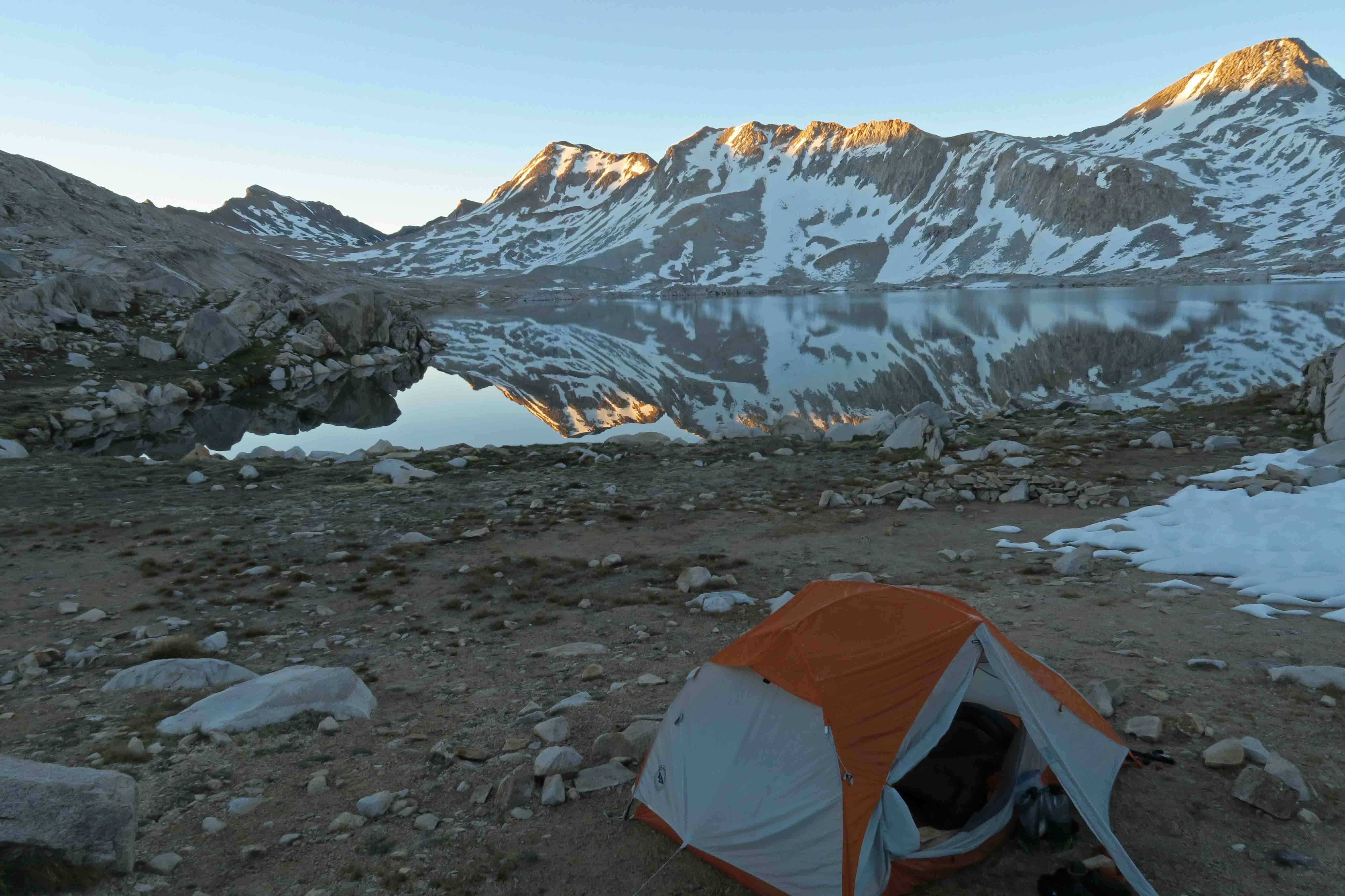
We camped close to McClure Meadows and walked through Evolution Valley before finally arriving a Wanda Lake and camping at 11,434 feet. I took a quick dip in the lake to wash off the trail grunge. I felt revived by the cold water but was unaware of the beauty that Wanda Lake had planned for us the next morning in 32-degree temperatures. Bob was the first to notice the glassy mirror in the early morning stillness.


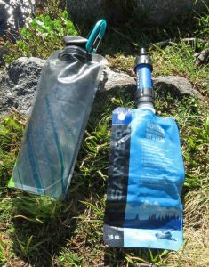
Equipment failure:
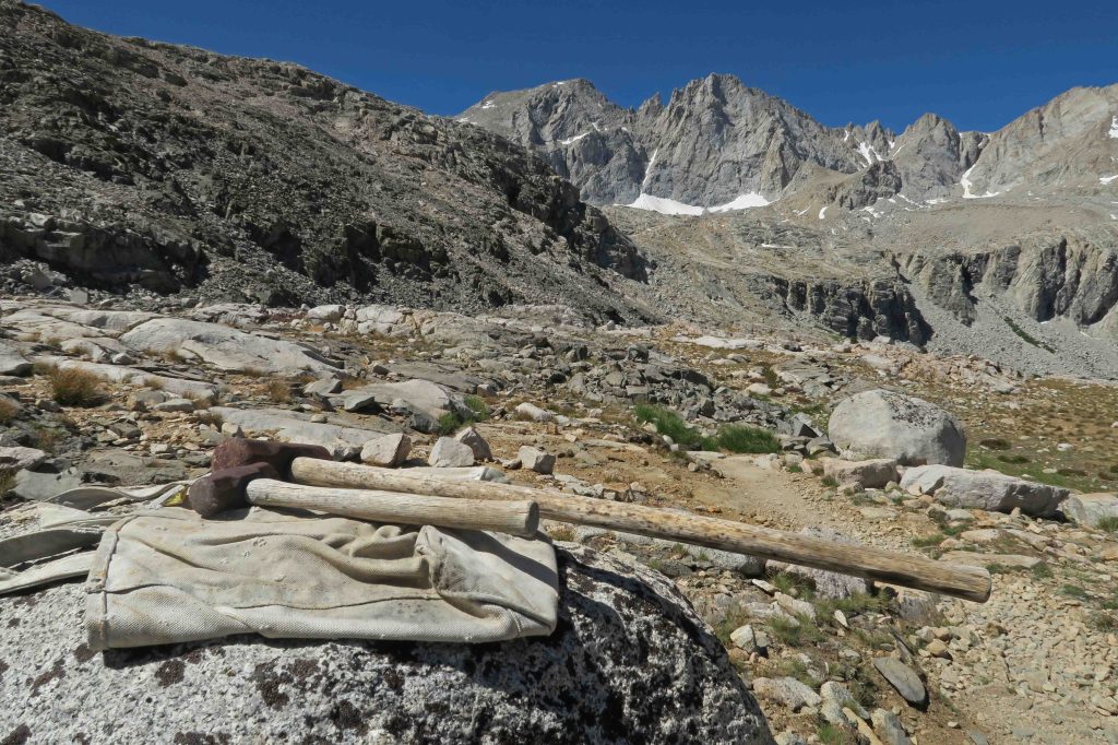
Though minor, my Sawyer squeeze bag sprang a leak. Bob’s water filter was functioning, so pure water wasn’t a problem, but I didn’t like depending on someone else for water. I carefully dried my bag and repaired it with seam seal and Tenacious Tape. The bag worked the following day but soon failed again. More repairs followed, but it was obvious that they did not work.
An unlikely trail angel:
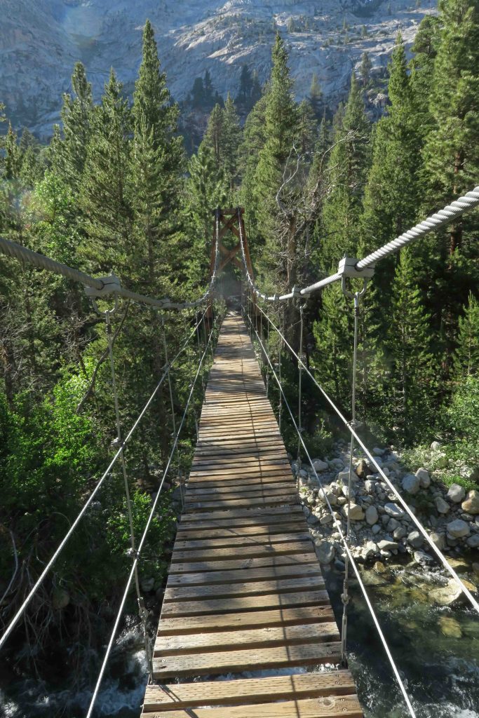
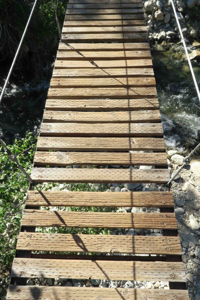
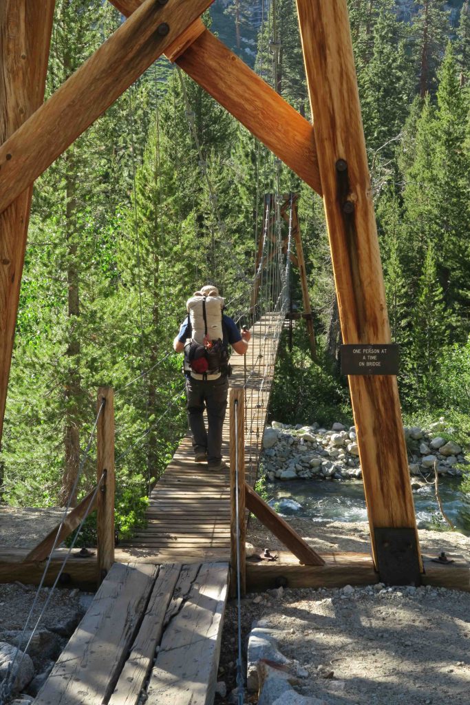
The next two days we shared Bob’s filter while crossing Mather Pass and Pinchot Pass. We then had a seven-mile trudge upward, camping at Woods Creek next to a masterfully-built suspended bridge.
While taking down my tent the next morning, a neighboring hiker learned that my Sawyer bladder had failed. A few minutes later, he walked up and held out a 16 oz. bladder that was in new condition. I thanked him and immediately began to enjoy water independence as I proceeded down the trail. I learned his name was Joe. Each time I filtered water, I wondered if he had any idea how much I appreciated his gift. Bob reminded me to pass the good deed forward when the opportunity presented itself. That opportunity would come soon.
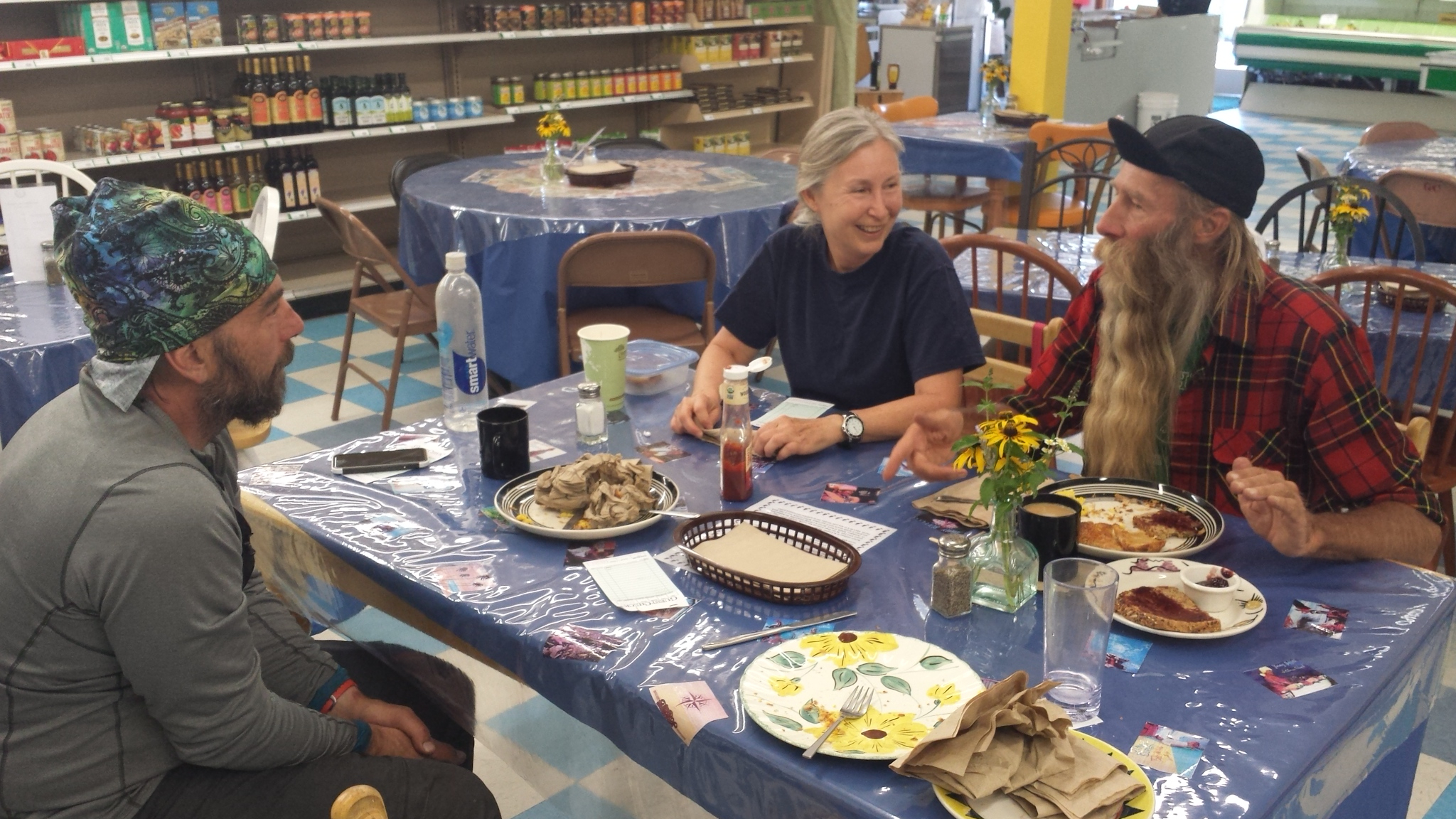
Our next resupply was Onion Valley near the mall town of Independence. Topping out at Kearsarge Pass and seeing automobiles in the distance felt surreal. The sun’s reflection on the windshields in the distance seemed out of place. We enjoyed visiting with a couple who worked in California’s wine industry. We later met another couple camping in a van that was several years old but appeared to be in new condition.
News from the outside world:
I noticed the campground host’s US Flag was a half-mast and asked a camper why. She looked surprised and said, “You must have been on the trail for several days.” Police officers in Dallas had been killed by a sniper. This news jarred me because I’d been immersed in a world that contained such beauty but was now reminded that it could also hold meanness and disregard for the lives of innocent law enforcement officers doing their duty.
The trail provides us with a new friend:
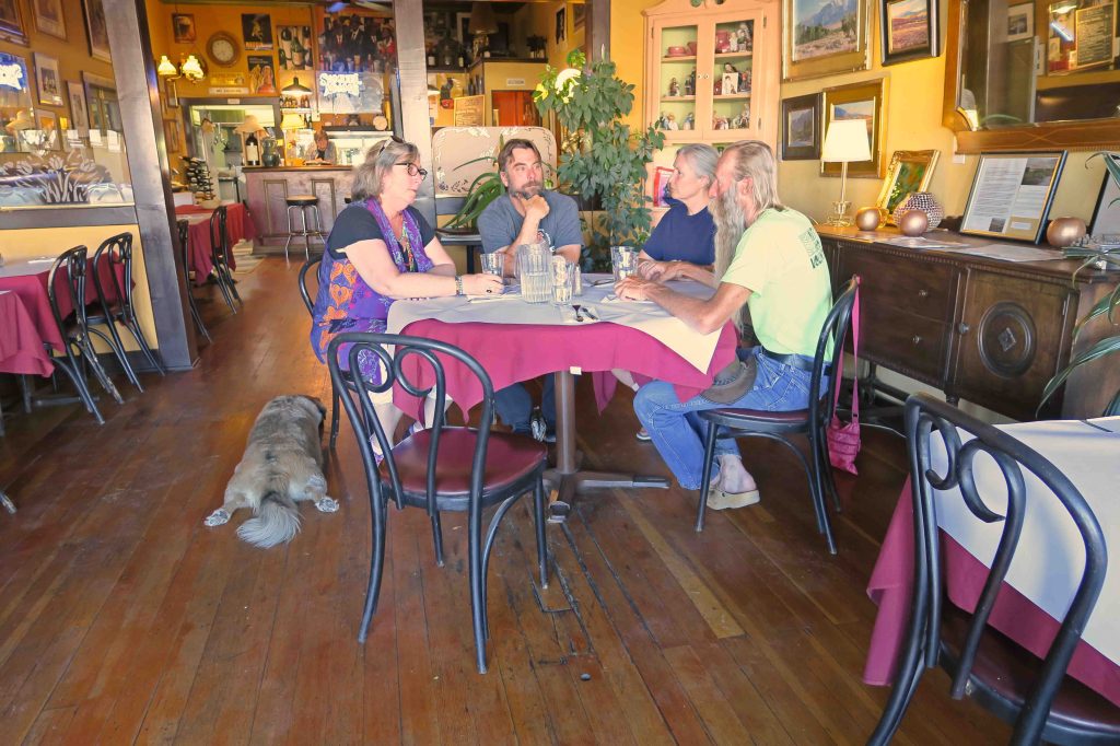
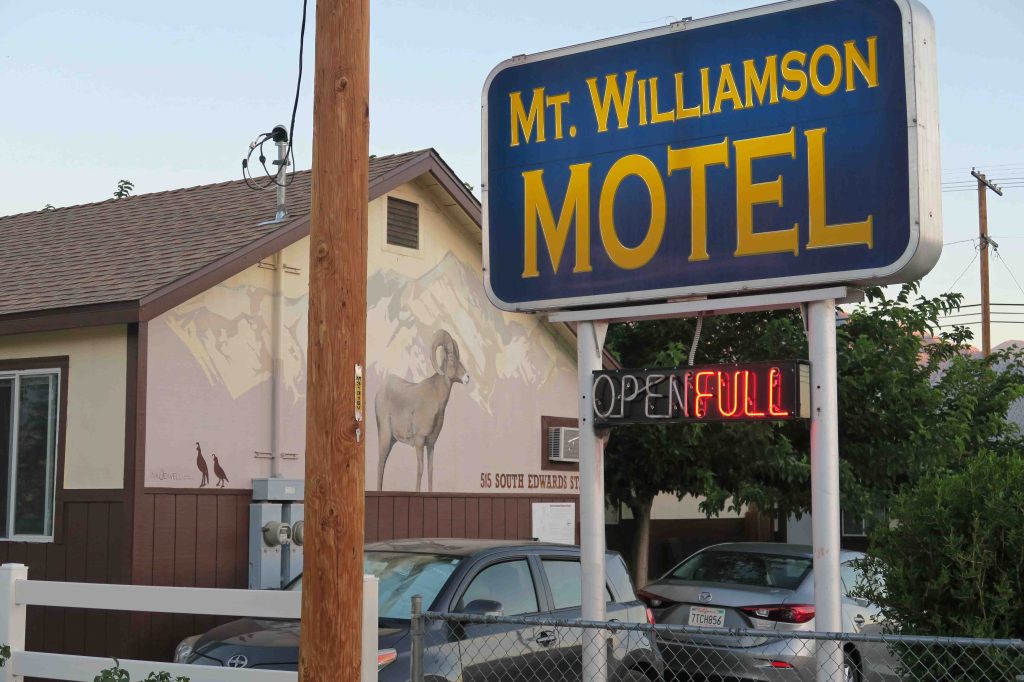
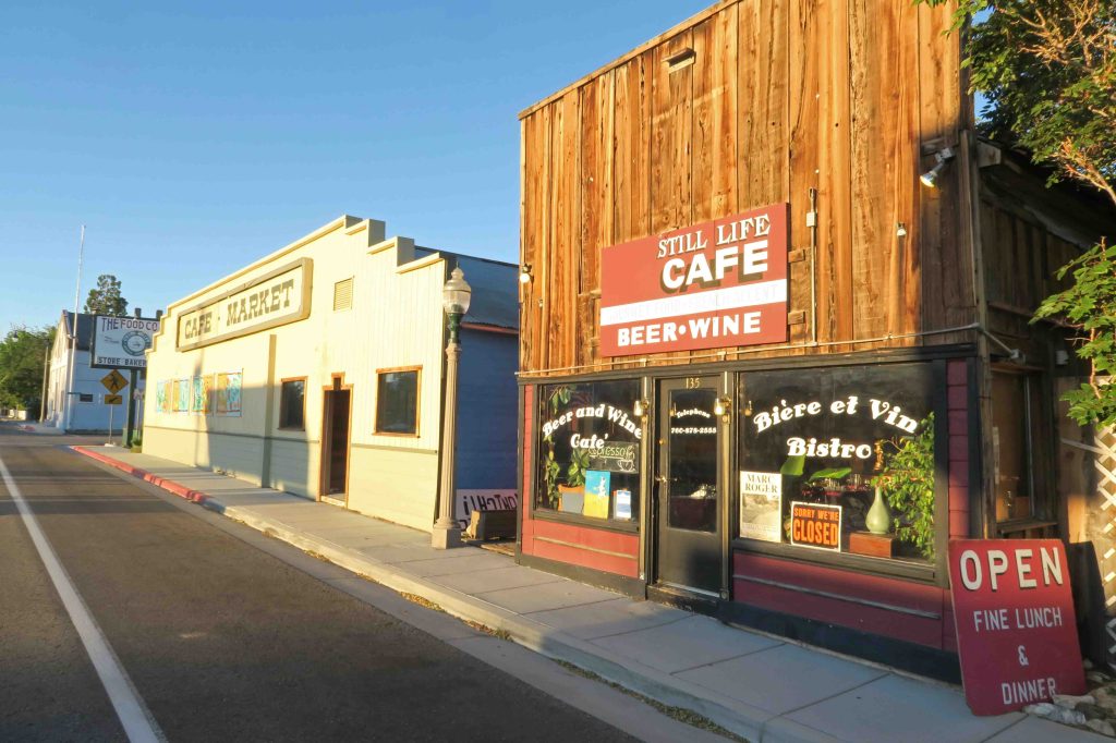
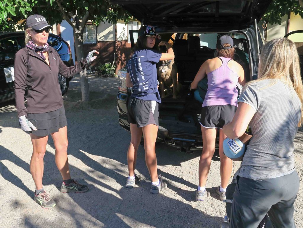
The next morning while waiting for Bob’s wife to shuttle us to Independence, a hiker sat down at the end of the parking lot. We learned he was injured and needed a lift, so Bob asked him to join us. We spent three hours visiting over breakfast at the Food Coop in Independence. Keith, our new friend, was able to get a room at the Mount Williamson Motel where we had reservations. We enjoyed getting to know he and his wife who arrived later that evening.
I thought about the kindness of Joe in replacing my damaged water filter bladder and Bob’s offer of a ride to Keith, thus beginning a friendship. Goodwill seems to float around and expand on the John Muir Trail. In every case, we receive much more than we give when sharing that goodwill.
Resupply:
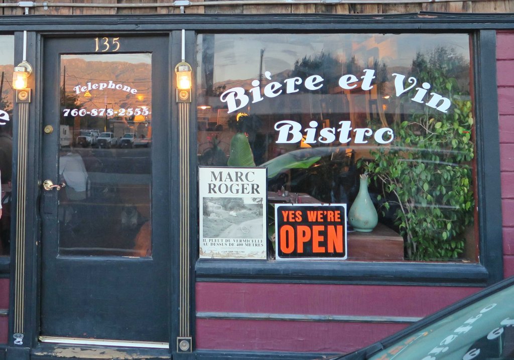
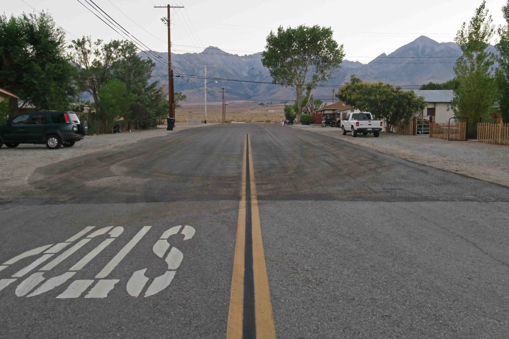
Below are a few scenes from the small town of Independence. When Chris Chater (trail name Strider) purchased the Mt. Williamson Motel three years ago, those who knew her thought she’d lost of mind. She’d say it was one of the best decisions of her life. Her trail name is a result of her fast hiking pace and her 21 consecutive years of hiking the John Muir Trail.

Back to the trail for the final push:
We hiked back across Kearsarge Pass and by early afternoon I was exhausted. Bob could tell by the way I ducked into my tent that I wasn’t feeling well. While filtering water that evening, he spotted a bear clawing at a dead tree for grubs. The bear continued through the woods oblivious to campers in the area. I missed the bear but was pleased that he’d seen it.
After a good night’s sleep, I felt much stronger. My little episode of weakness made me appreciate all of the other days that I felt strong.
John Muir was one tough dude and his trail was, too:
My little time of weakness on the trail was embarrassing when I thought of John Muir exploring this area before there were trails. He was known to grab a loaf of dry bread and take off to explore for a week or so. Muir wrote more than 300 articles and several books about his favorite natural areas. He was co-founder of the Sierra Club and served as president of the organization until his death.
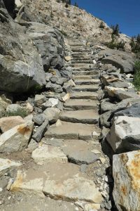
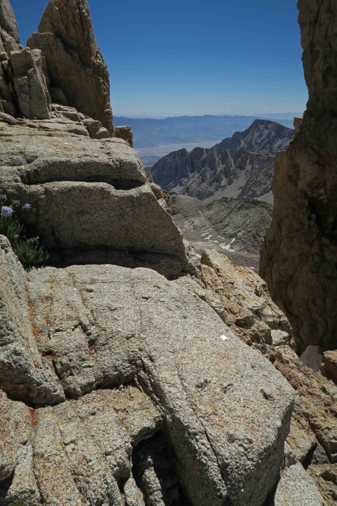
Construction on this trail that carries Muir’s name began in 1915, the year after his death. The trail was completed in 1938. It is a marvel to walk, especially if you’ve ever done any trail maintenance and realize the difficulty of this work. In some places the trail is blasted from solid rock and in other places, the path is easy and clear. The construction of stairs impressed me. They could be a challenge when the itinerary called for a multi-mile downhill walk.
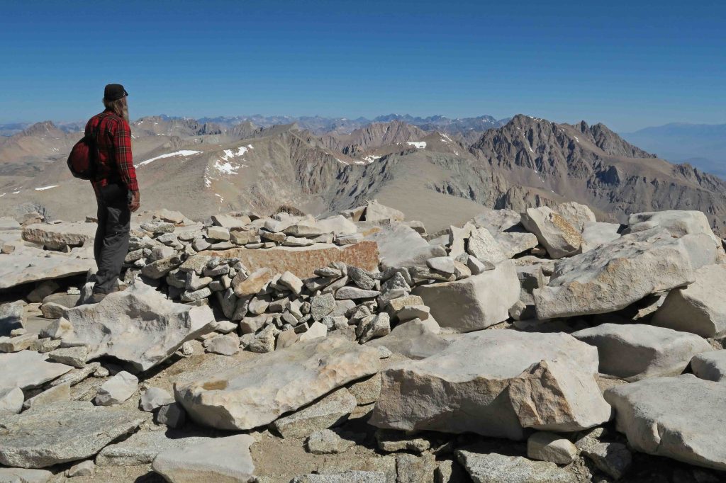
Approaching the summit of Mt. Whitney:
After crossing Forester Pass, we camped at 12,200 feet. The next day was a shorter mileage day, and we rested to gain energy for the approaching Mount Whitney. We camped at Guitar Lake above tree line in the shadow of Mount Whitney. During the night we could see the headlamps of hikers approaching the mountain from the other side.

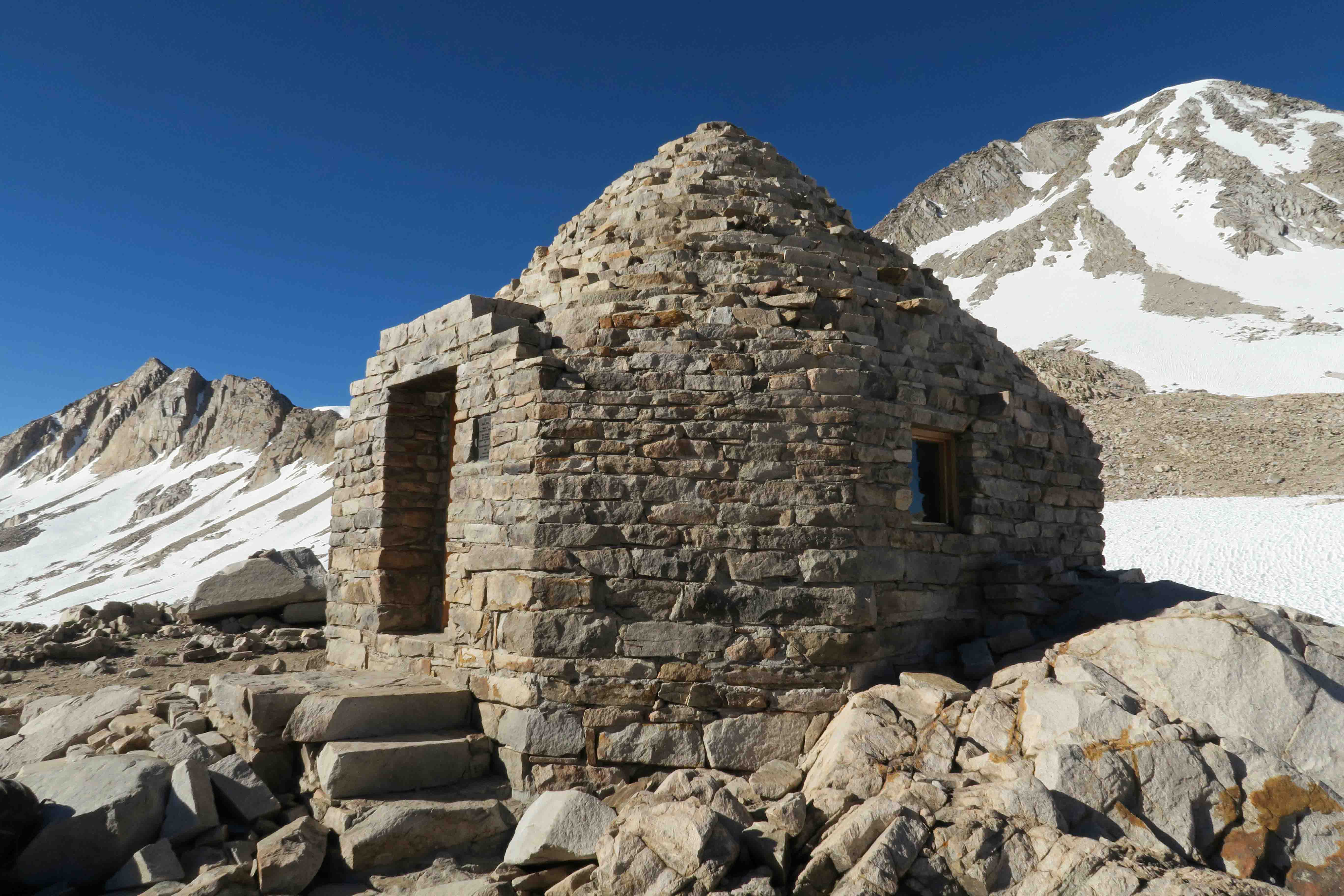
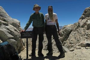
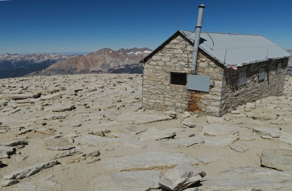
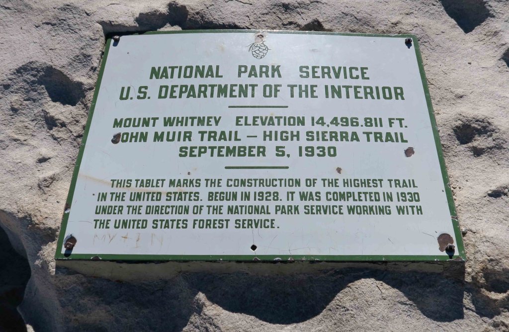
The hike up Mount Whitney went well, and it felt good to drop the pack at the junction and take the spur to the summit. I was relieved to see the roof of that little Survey Hut and trail register. We were now standing at 14,494 feet.

While returning from the summit, a couple of young ladies asked, “Are you Jim?” They then said they’d shared a campsite with Dana, Bob’s wife. They raved about how much they liked Dana and how helpful she was. For a second I wondered how they’d recognized Bob and then thought of his one-of-a-kind beard.
We camped at the Outpost Camp where the approaching departure from the trail began to feel real. We agreed to take our time the next morning before breaking camp. I was looking forward to some early morning camera time.
Endings and the walk to Whitney Portal:
As we hiked the final four miles to complete the JMT, Bob said, “If you see a tear in my eye, it’s just dust from the trail.” We felt a sense of sadness to be leaving the John Muir Trail but knew that our 210-miles of steps in paradise were drawing to an end.
Bob and Dana offered rides to the two young ladies Dana had shared a campsite with earlier in the week as well as a young man from Romania living in Dallas who had completed a large section of the John Muir Trail. He began his hike carrying a small cast iron pan because he enjoyed cooking. The pan was dropped off at a resupply, and he joked that there wasn’t time to be a creative chef on the John Muir Trail.
Energy and enthusiasm filled the van as we made the drive toward Bishop. As the senior member of the group, I felt thankfulness that I was able to complete the journey without injury or illness.
After dropping the young people at a local hostel, we drove to the home of the California host family who had stored my Jeep during our hike and would prepare an evening meal for us before we began our drives back to Arkansas. The Wilders’ hospitality was overwhelming and provided important support for the ending of this wonderful adventure. Their kindness was another example of the trail providing just what was needed when it was needed. Our little walk through paradise was over, but the memories would last a lifetime.

More photos from the trail: Slideshow #1


If you want to see more photos of the trail: Slideshow #2

It’s hard to come up with words after reading this. Well done, Jim!
WOW
Your experience sounds (and looks) amazing! Thanks for sharing so many awesome photos. I read you started in Tuolumne Meadows (we were just there on July 16th–took a little meadow walk from Lembert Dome parking lot). We used to camp in Tuolumne every summer when I was a kid and now as an adult, so I know that part of Tioga Pass well all the way through to Lake Tenaya and Olmstead Point. Nothing like the high country of Yosemite!
Enjoyed hearing of your childhood experiences at Tuolumne Meadows. Great memories that last a lifetime. I enjoyed my first backpacking in California and hope to return in the future. I was in awe with every step!
DOUBLE WOW!
Jim and Bob,
Thanks for sharing a fire with Sasha and me at the Middle Fork Kings River camp. We continued north and completed the JMT at Happy Isles. Best vacation ever with my 16 year old daughter. And, your photos tell it all.
Mike Wilson
Thank you for letting us know about completing your trek! We enjoyed sharing the fire with you and were impressed with your pace toward the Muir Trail Ranch. You’ve made some memories that you and your daughter will treasure for years to come.
I am so incredibly jealous of your adventures! Living in a country where the only forests are plantations, I hope one day I will be able to see the beauty of the places you’ve hiked in through something other than photos. I can’t wait for your next post.
Wow Jim! What an amazing hiking trip. I loved reading about it and viewing your photos. Thanks for sharing.
Cindy
Congrats on your successful adventure and thanks for this well-written, entertaining account! I hiked the JMT in 2014 and think about it nearly every day. I was able to lend Bob some materials for planning and he kept me abreast of your itinerary and such. What a great trip you guys had – well-planned with excellent support.
I plan to return next year – aiming for a Labor Day start from the Valley. Permit deadlines are marked on the calendar so there’s no stopping me now…
Thanks for reading and for sharing your planning materials. Bob referred to one of the books often and we treated it like a sacred text while on the trail:)
Pingback: Continued Gifts from the High Sierras | Ozarkmountainhiker
Pingback: WordPress Photo Challenge: Gifts from “A Road Taken” in the High Sierras | Ozarkmountainhiker
Pingback: Missing the John Muir Trail | Ozarkmountainhiker
Pingback: Windows on the John Muir Trail | Ozarkmountainhiker
Pingback: Gathering in the Ouachitas | Ozarkmountainhiker
Pingback: Coloring Our World: 88 Miles on Missouri’s Ozark Trail | Ozarkmountainhiker