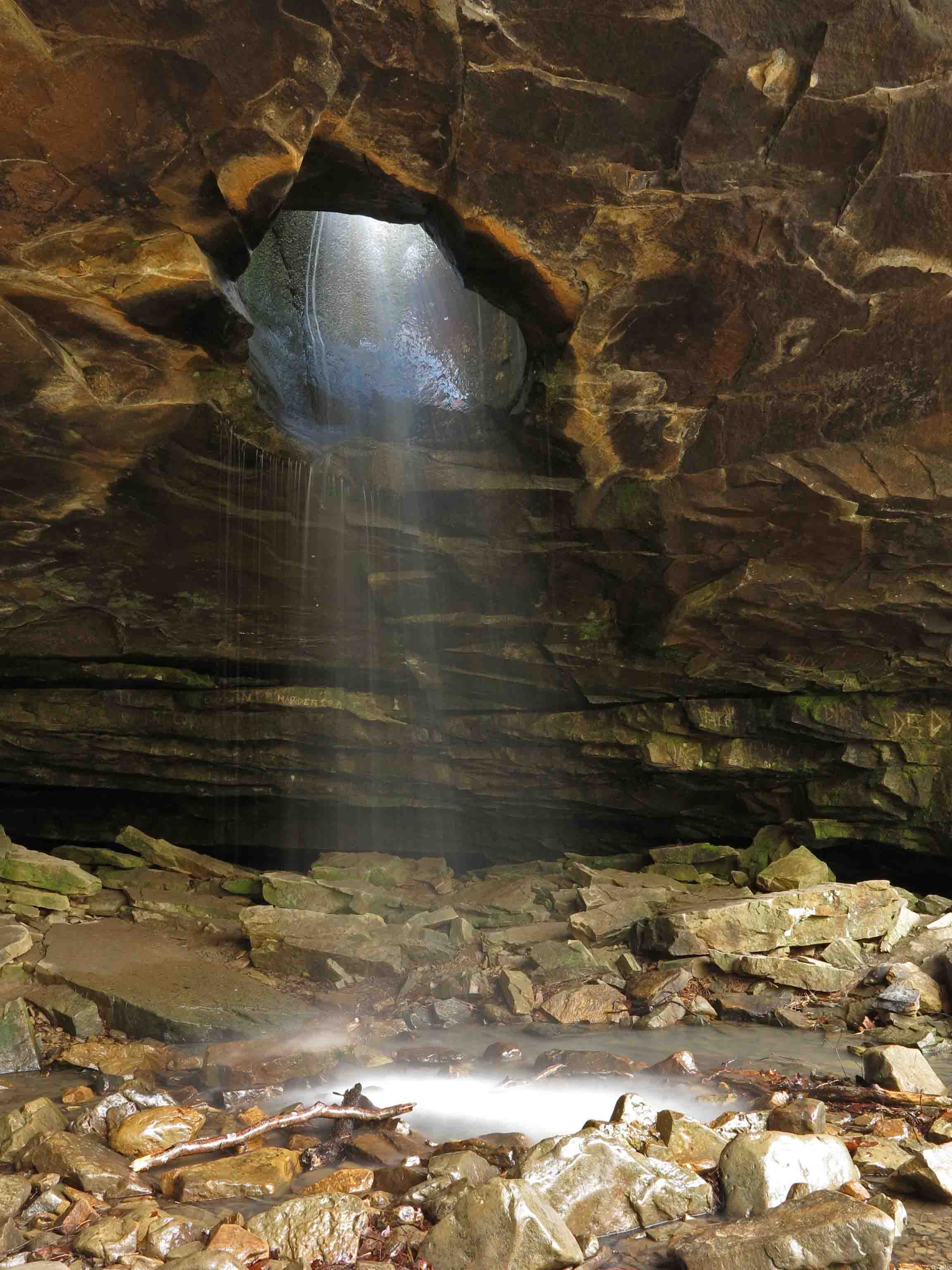
Glory Hole Falls
The day began with an early morning drive to the Buffalo River area. My plan was to get an early start on the 11-mile out-and-back hike to Hemmed in Hollow from the Centerpoint Trailhead. Hiker-dog couldn’t make this trip as dogs are not allowed on the Hemmed in Hollow Trail.
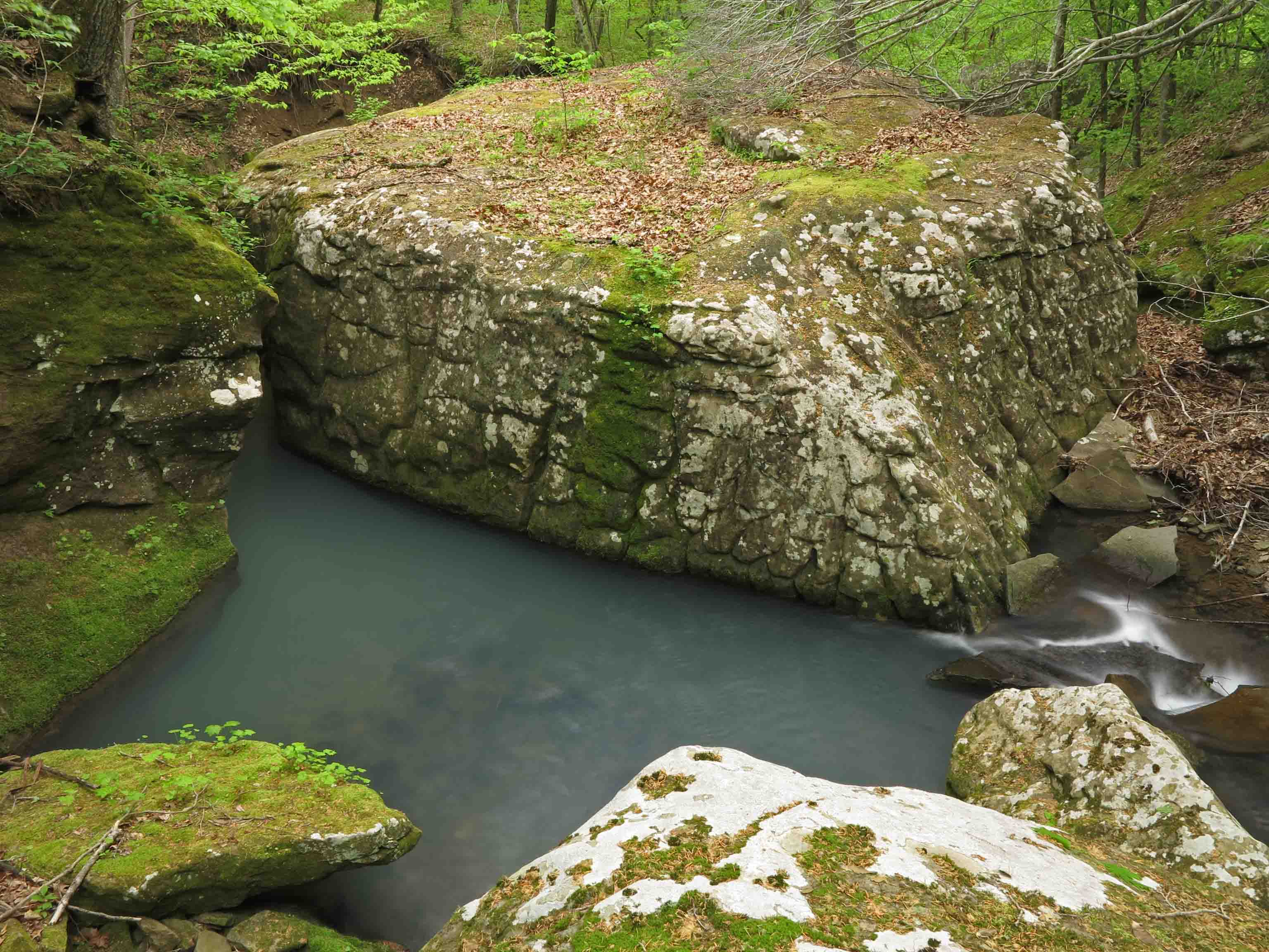
As I drove toward Ponca, I passed the parking area for the Glory Hole Falls. There wasn’t a single car, so I pulled in and grabbed my camera and tripod, excited to have the place to myself. The last time I was there, it was crowded and the afternoon sun was glaring into the falls.

Glory Hole Falls
I had a good time taking pictures for about 45-minutes before hiking back up and out. I passed at least twenty hikers descending toward the falls at 9:30 a.m.

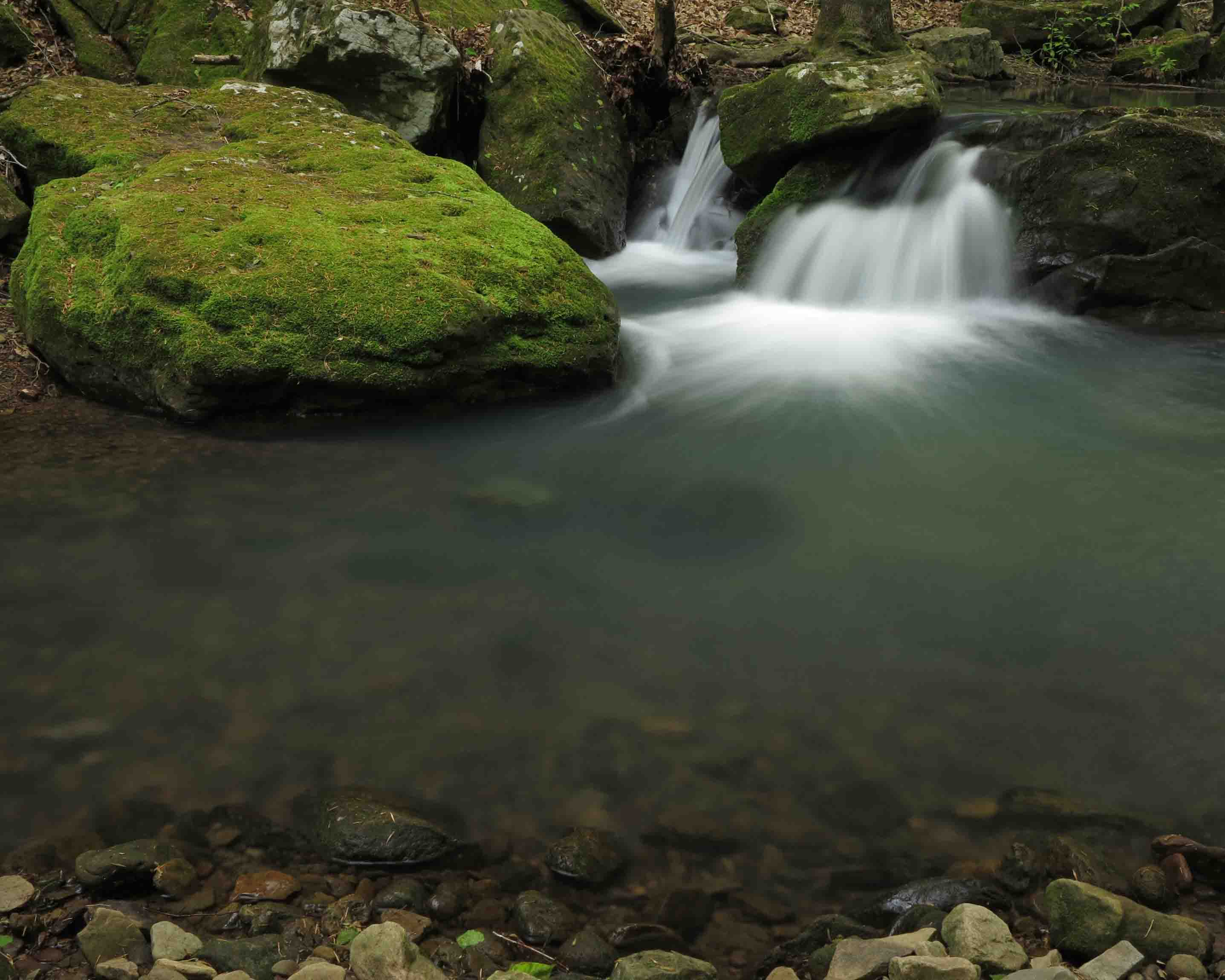
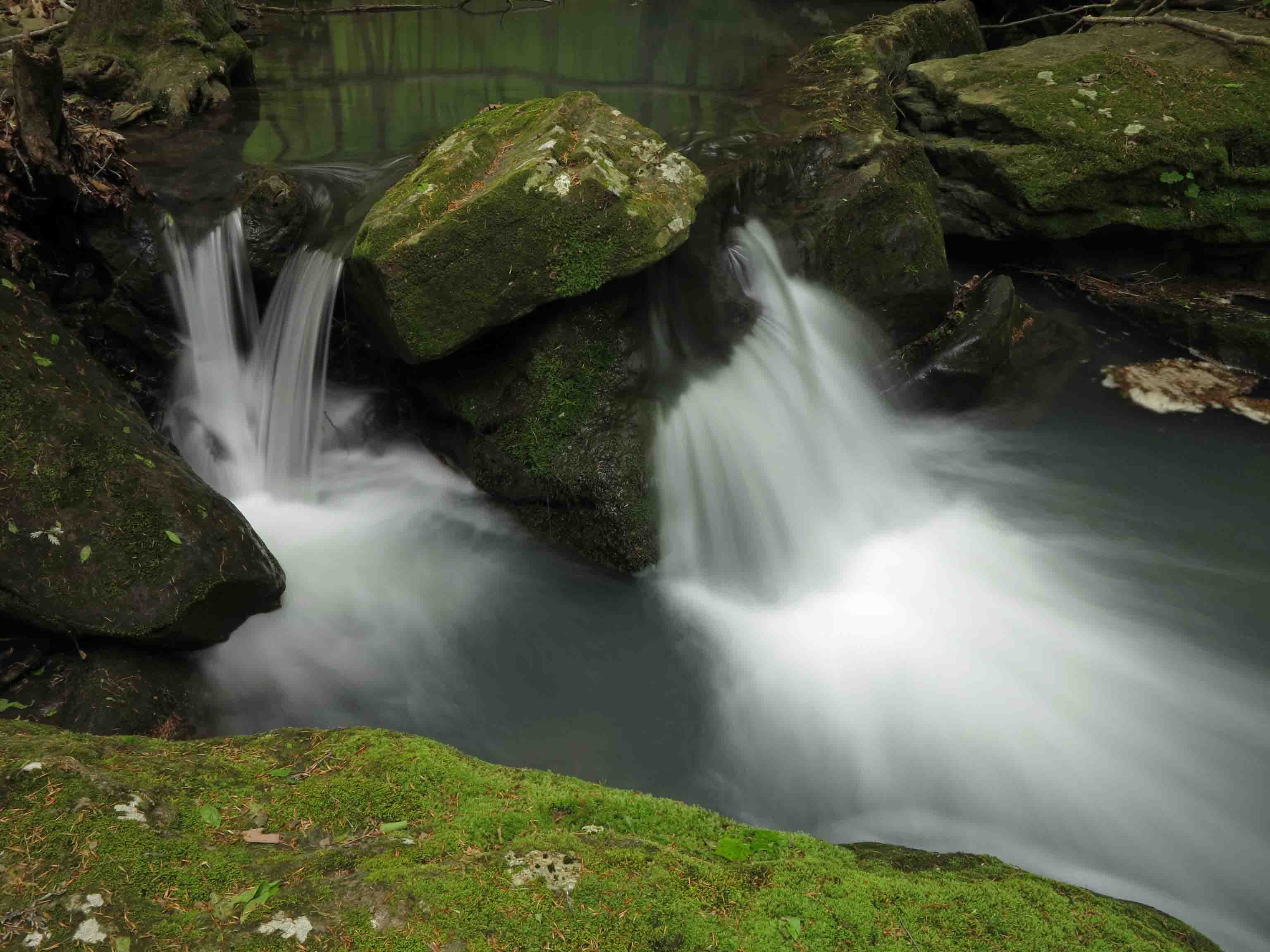
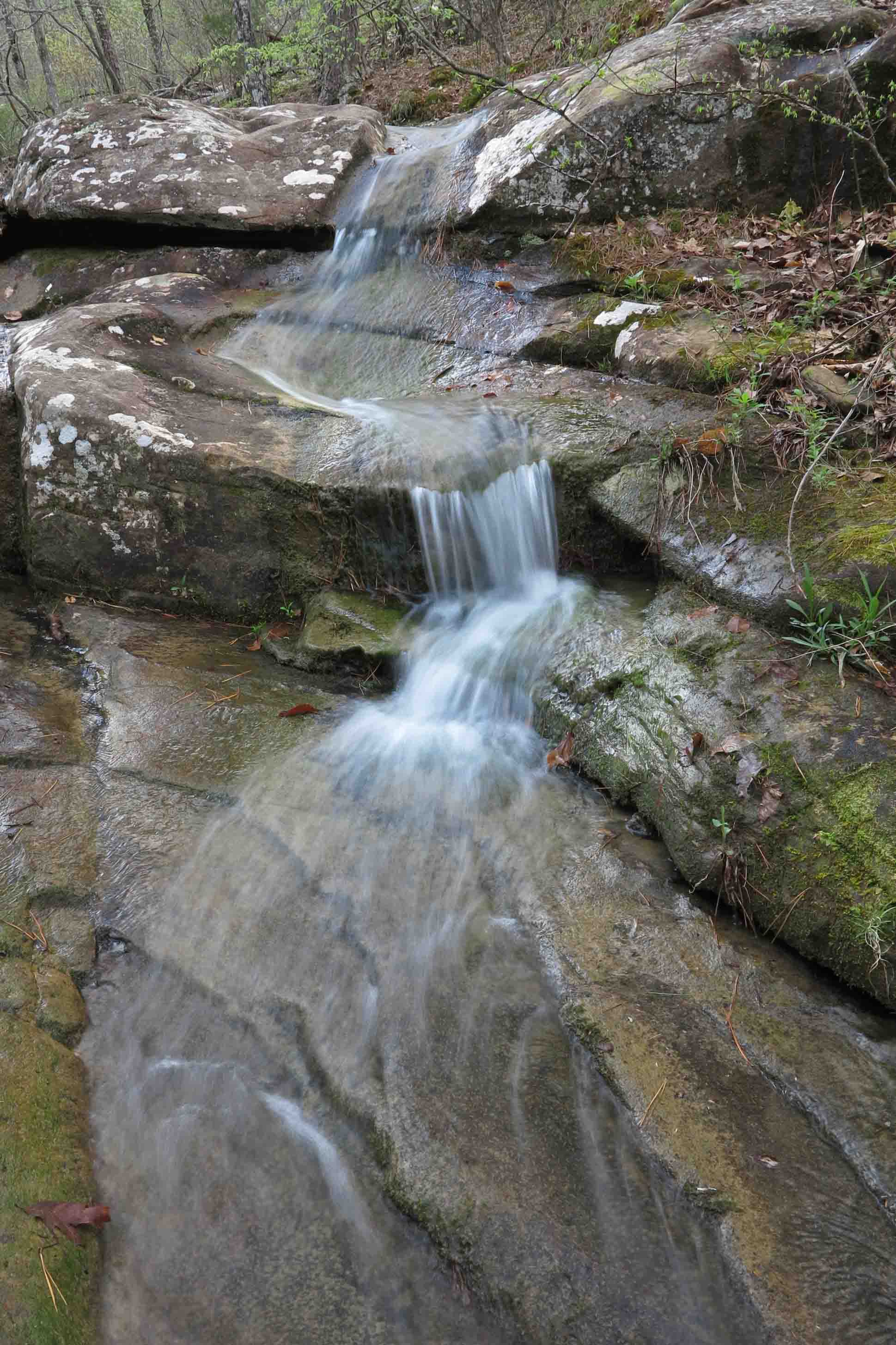
Small flow above the falls.
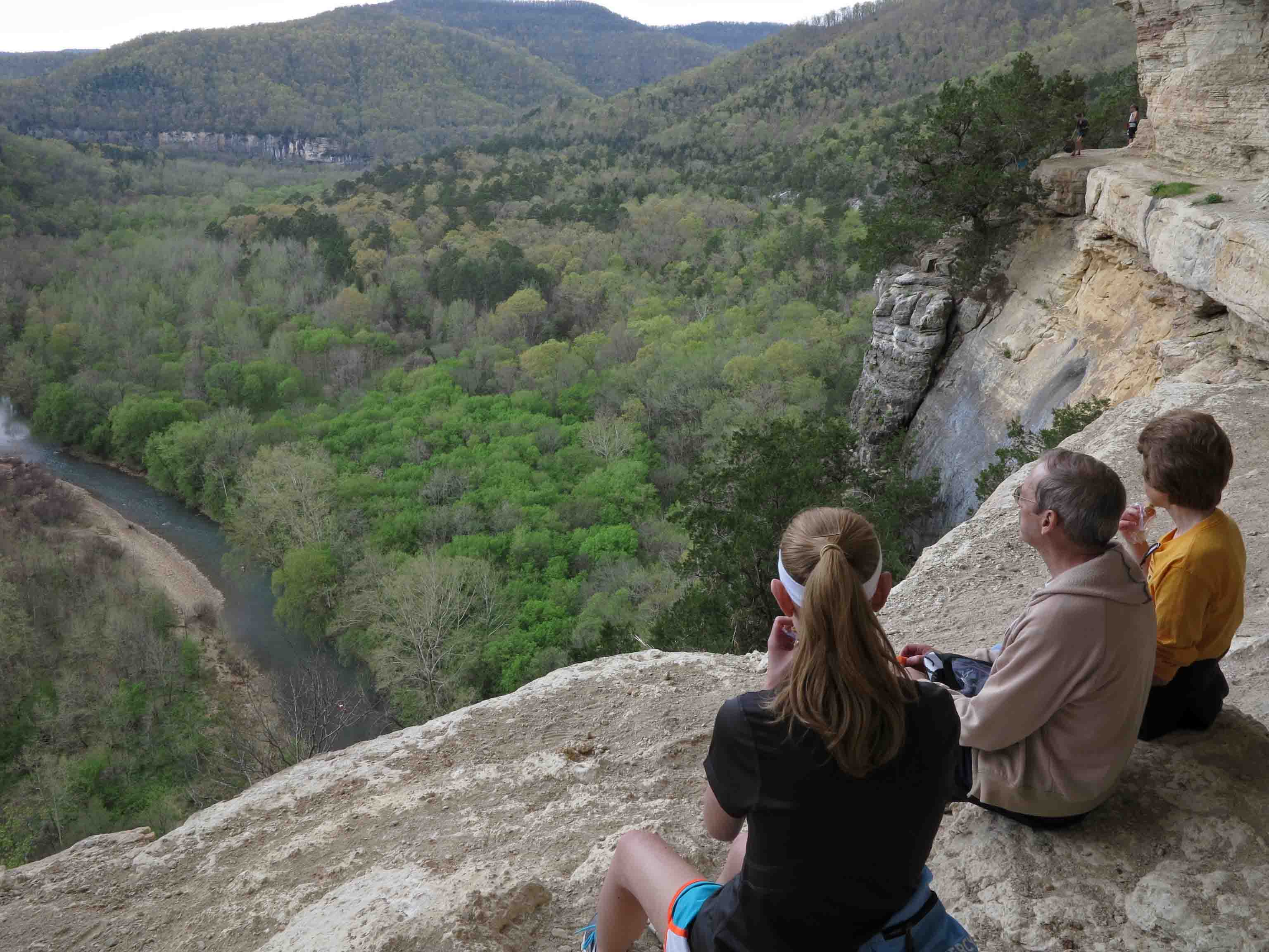
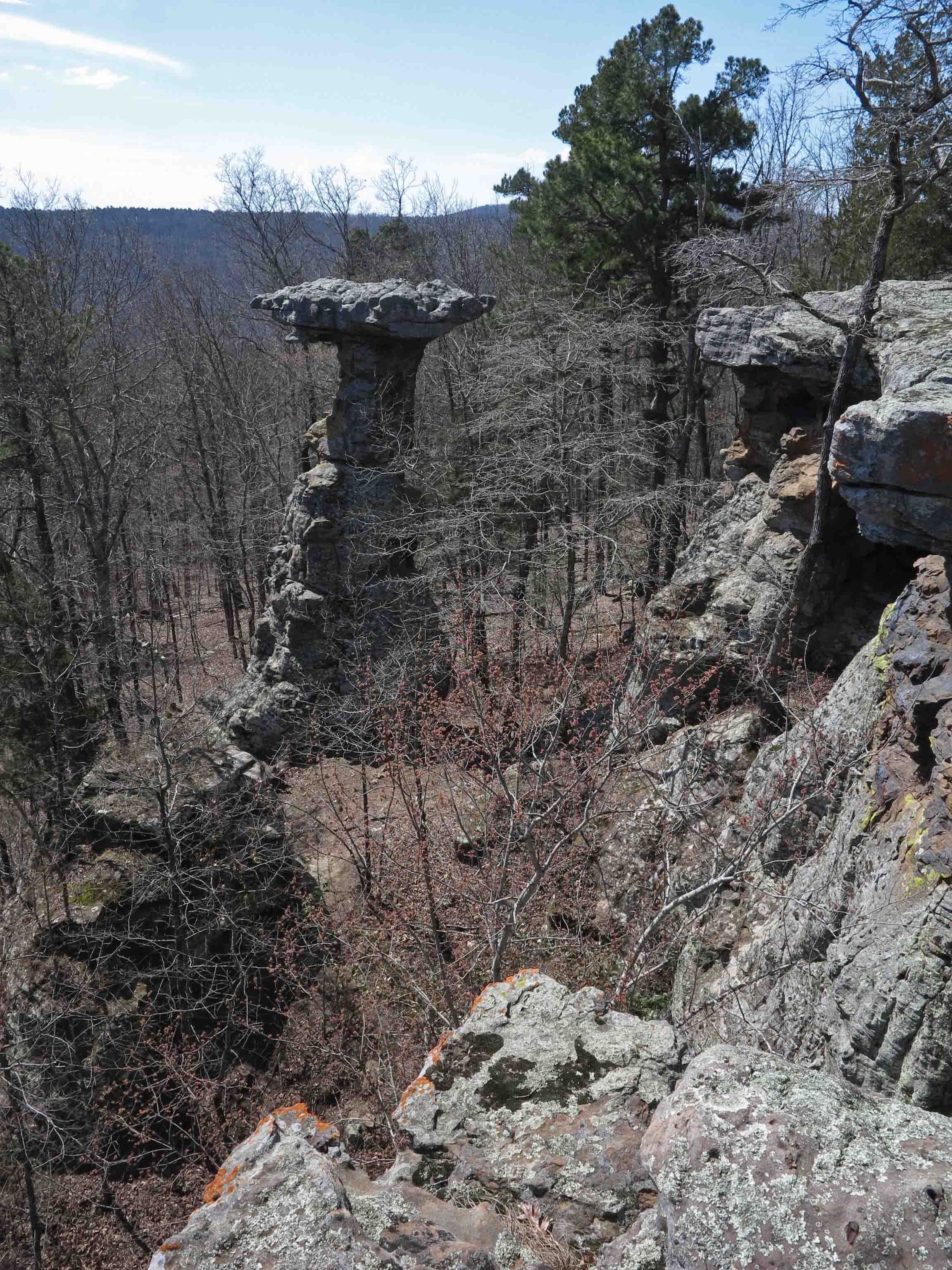
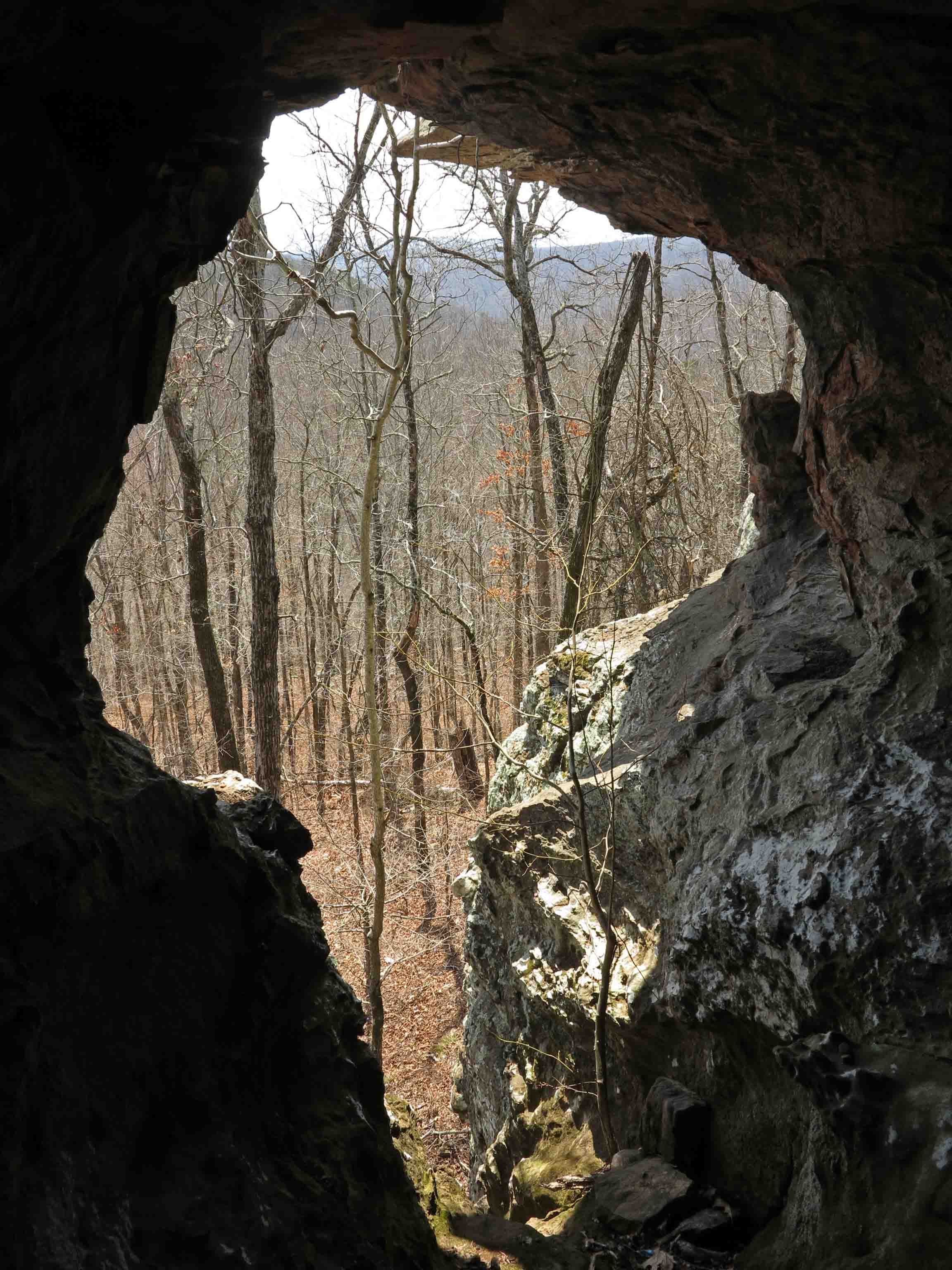
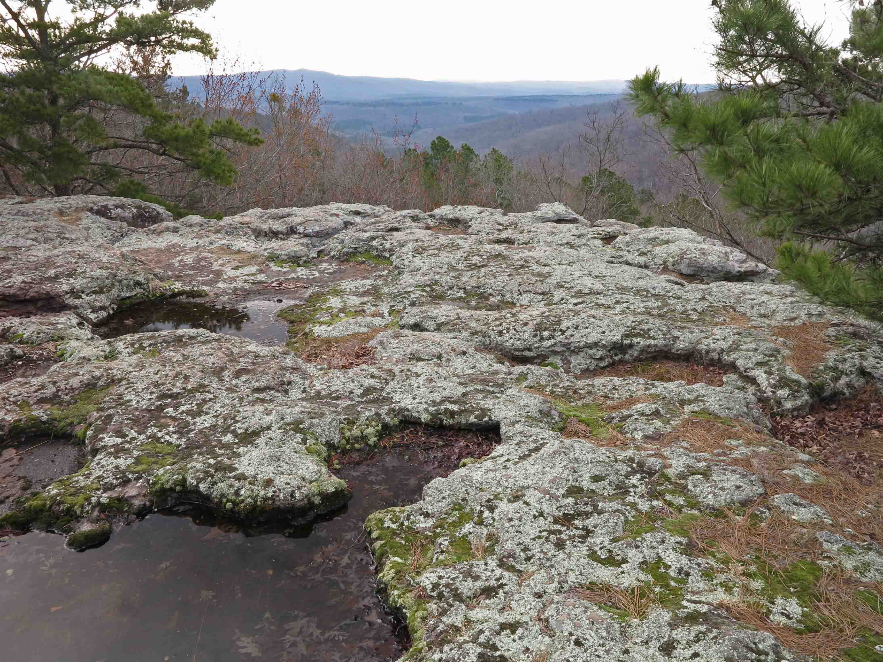
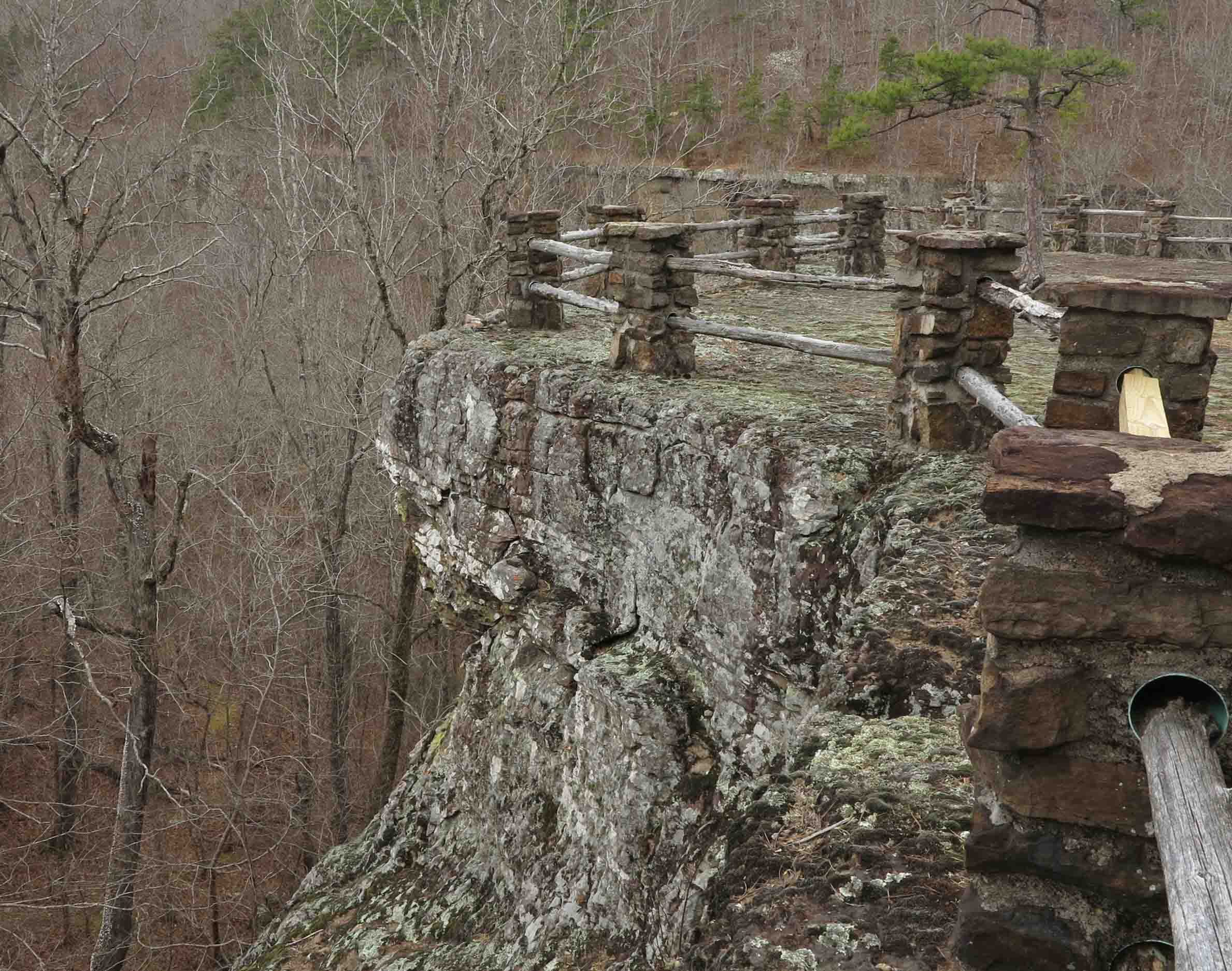
It was 10:30 a.m. before I got to the Centerpoint Trailhead. So much for the early start. I enjoyed spending some time on Goat Bluff and meeting hikers from Missouri, Louisiana, and Northwest Arkansas. One hiker asked about the restrooms down by the river. I told him that was one of the Villines homesites. I think he was surprised. I was thinking how thankful I was that restrooms were not cluttering this beautiful view.

Hiker on Goat Bluff

Family enjoying lunch on Goat Bluff
Granny Henderson’s home was a treat to visit again. I noticed the paper telling her story was missing from the front porch where it used to be posted.

Granny Henderson House

Inside Granny Henderson’s House

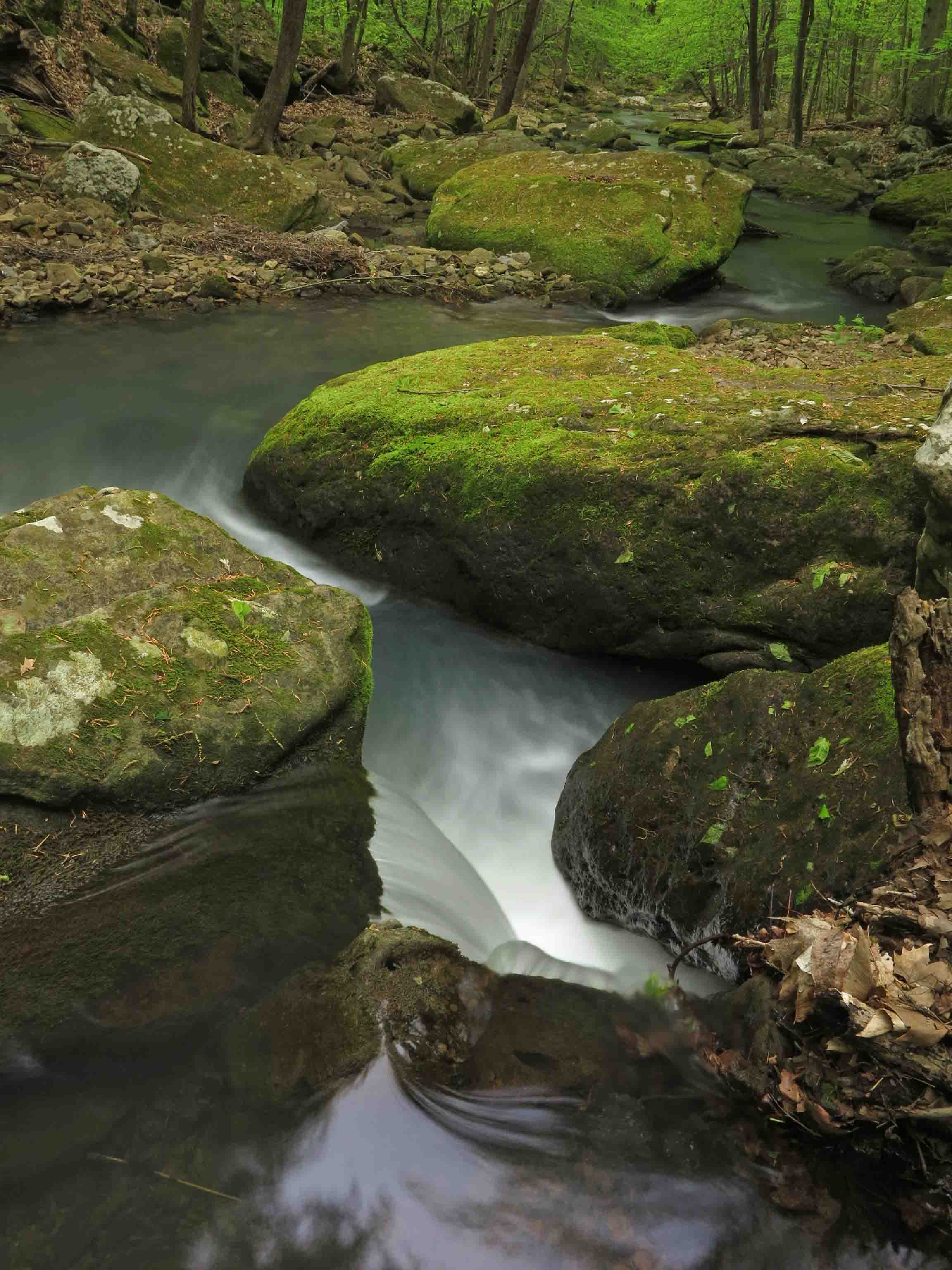
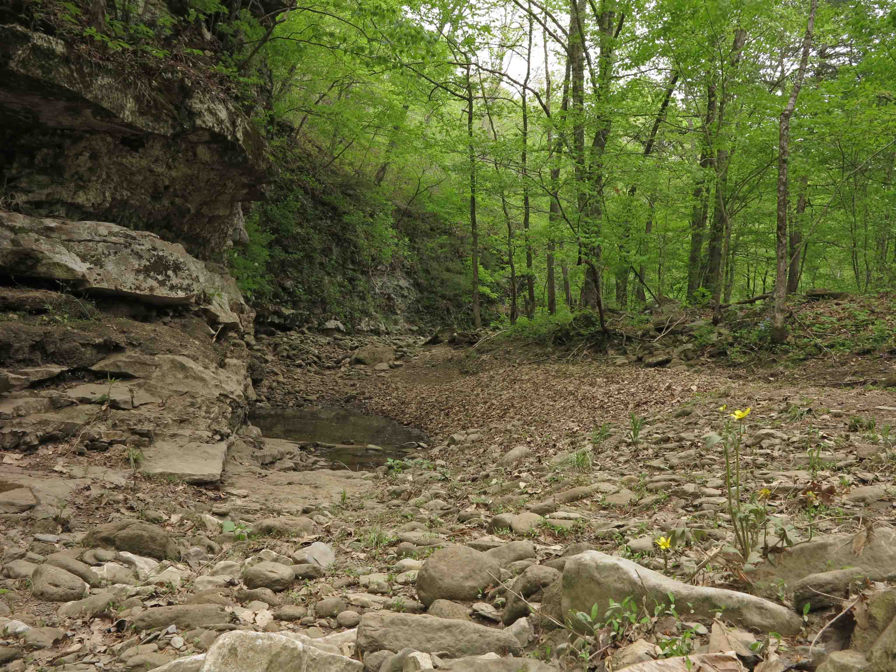
Sneeds Creek
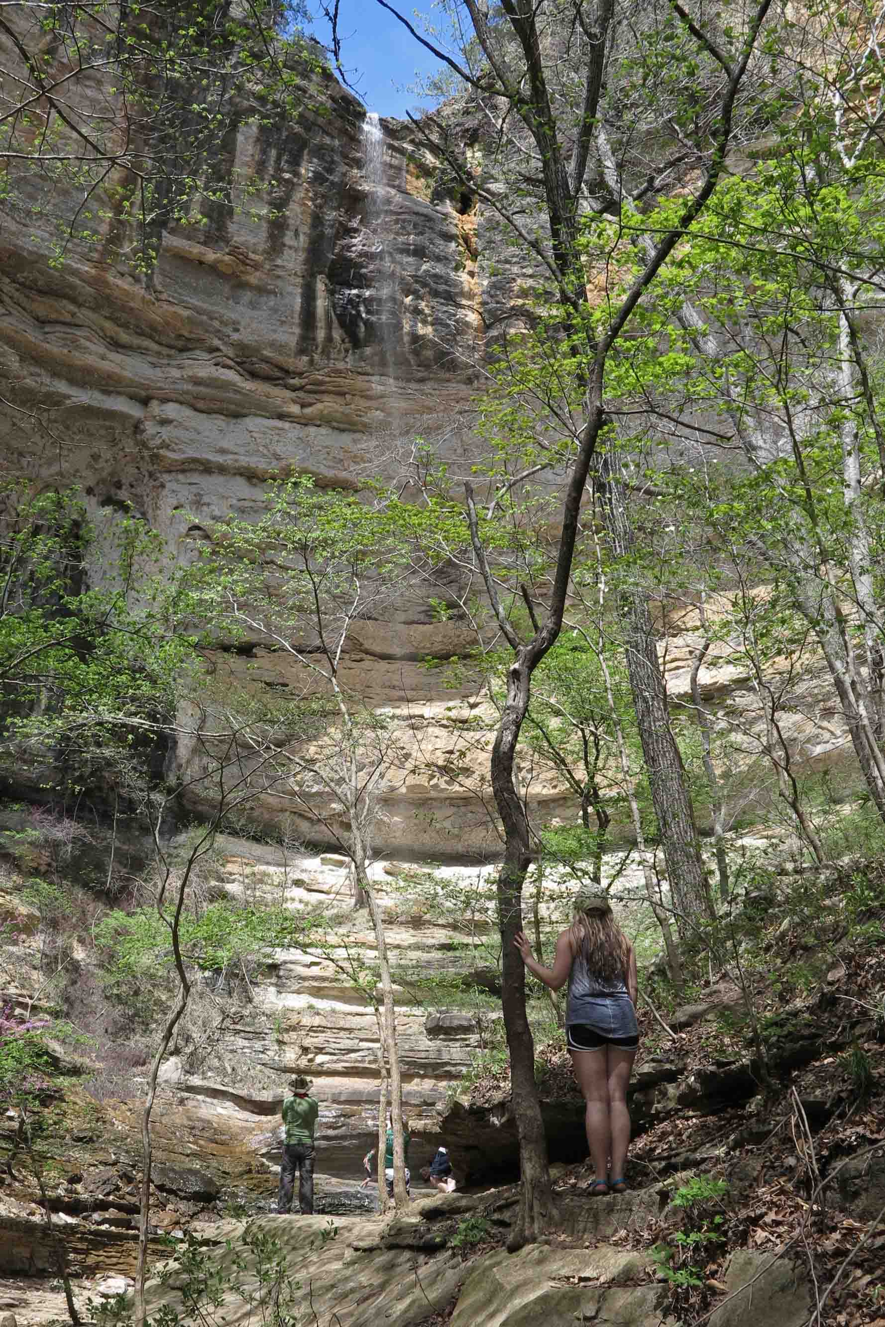
Crossing Sneeds Creek in route to Hemmed In Hollow Falls was a pleasure. I made note to be sure and filter water on my hike back out. I’d forgotten just how beautiful the approach to Hemmed In Hollow was. There are several cascades and waterfalls downstream from the main falls. I was beginning to budget my remaining daylight and decided to return to explore this area another, hopefully, overcast day (better for waterfall photos).

Yancy at Hemmed In Hollows Waterfall
When I arrived at Hemmed in Hollows Falls, I set up my tripod and took a couple of shots. A young man approached me and called my name. Turns out it was a former student, Yancy. Running into him in one of the more difficult hiking locations of Arkansas reinforced the “small world” concept. We laughed because the last time we’d met, we were volunteering for the Lee Creek cleanup in Devils’ Den.

Yancy’s oldest daughter taking in the view.
Yancy introduced me to his daughters, and we had a nice visit. They took turns posing in front of the falls. I was pleased because this adds a sense of perspective on this 200+foot waterfall. The ribbon of water is visible toward the top of the bluff, but winds cause the stream to spread as it falls.
The hike back up to Centerpoint Trailhead was just as steep as I remembered but not as long. If you get in a hurry, this climb will humble the strongest of hikers. It was a 14-mile day between the Glory Hole Falls and Hemmed in Hollow. A full day of hiking in this great big beautiful (and sometimes small) world.

Elk Burger at Arkansas House Cafe
My post-hike meal was an Elk Burger at the Arkansas House Cafe in Jasper. Taters on the side of course. The waitstaff stayed busy refilling my ice tea.
I had a short conversation with the owner of the Arkansas House. I learned that Gould Jones built a fully functioning water wheel and stone retaining wall in the branch next to the cafe and near the Little Buffalo River. The mill wheel he built is on display in front of the cafe and was originally used to generate electricity as Jasper continued rebuilding efforts a number of years after the Civil War.
During our visit, I also learned about a new trail that was recently developed by the Nature Conservancy. I look forward to exploring that trail on my next trip to the area.

Mill wheel at Arkansas House Cafe