No Nonsense Guide to Day Hiking – Do I Go or Do I Stay?

dyer-lfs-0117r

Darian, Delaney, and Trey enjoying a fall day on an Ozarks trail.

What do I wear? What do I take with me? Where and when should I go? Will a bear get me?

Many questions come to mind when you consider going on a hike, especially if it’s your first. Thinking about a few good questions can ensure that you want to continue hiking after your early experiences in the woods.

This is not a comprehensive day hiking guide, but my thoughts come from personal experience and a few mistakes along the way. If you want more information about hiking and trails, pick up a hiking guide for your area.

What do I wear?

You can wear almost anything and get away with it on the trail. Let function, not fashion, be your guide.  We’ll look at this from the ground up since happy feet are essential for success.

  1. Wool blend socks are among a hiker’s most important pieces of clothing. Use wool blend socks and avoid cotton unless you like blisters and soggy, smelly feet. Any tennis shoes of reasonable strength are fine for day hiking.
  2. Clothing – If the weather is nice, any clothes will do. If there’s a chance it might be cold and/or wet, avoid cotton. Cotton gets wet (making you colder) and then will not dry out in the humid Ozarks. For added insurance against the elements, put warm gloves and a hat in a rain jacket pocket and stuff it in the bottom of your daypack.

What do I take with me?

As little as possible is my short answer, but there are ten essentials you’ll want to have with you on every outing.

  1. Water and access to water – Put your water in a bottle or a bladder in your pack. Rather than purchase a bottle, you can recycle any plastic water bottle. I carry a small Sawyer water filter in my daypack in case I run low. It doesn’t add much weight and has made me a few friends on the trail when others needed water.
  2. Food – Snacks that you’re used to eating are what you should take on the trail. This is no time to try something new in the food department.
  3. Extra clothing – Think protection from the elements. If it looks like cold, rainy weather, carry an extra layer and be sure that rain jacket is stuffed in the bottom of your pack.
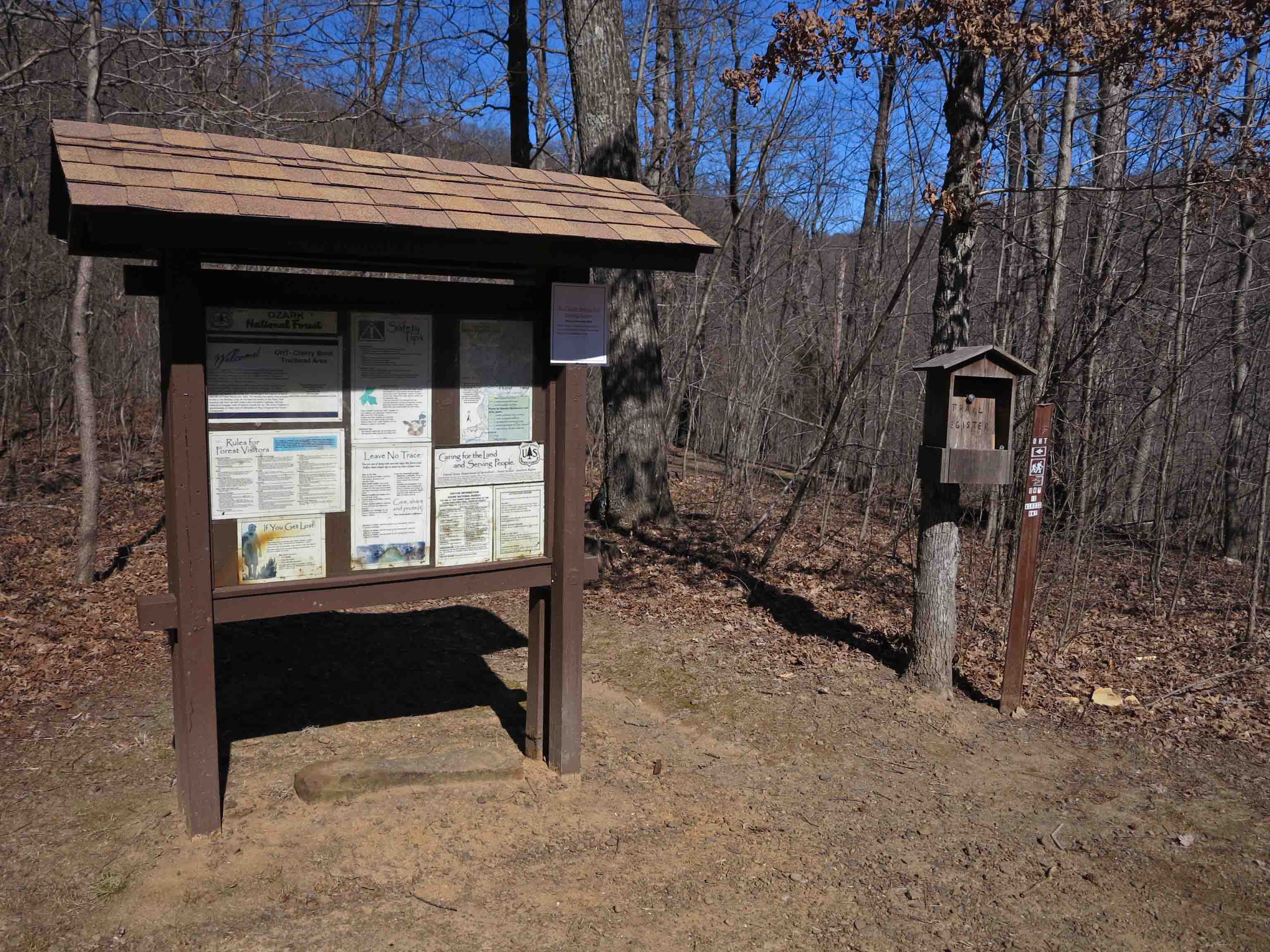
  4. Navigation – Don’t assume that you can’t get lost on a well-used trail. Like Jeremiah Johnson, “I’ve never been lost, just confused for a month or so.” Fortunately, I’ve only been confused an hour or so, but it can be a little scary if you’re not prepared. A photocopy of the appropriate pages from a trail guide in a zip-lock bag is always a good idea, and a compass can help you avoid confusion. Don’t count on the compass app or GPS on your phone. Batteries don’t last.
  5. Illumination – A small headlamp or flashlight in your pack can be a big help if a hike takes longer than anticipated. I carry a small LED light in my daypack at all times.
  6. Sun and bug protection – A little sunscreen can make you a happy and healthy hiker. Bug spray around the cuffs of your pants will discourage ticks and other crawling insects. Check for ticks often, even in cooler weather. I can usually feel the little guys climbing up my legs and pick them off before they attach.
  7. First Aid supplies – I like a zip-lock with some bandaids and any medicines I might need if stranded for a while. Keep it simple and light then forget about it until you need it.
  8. Fire – I always carry a lighter just in case.
  9. Emergency shelter – Cut an 8-10-inch hole close to the bottom of a large trash bag then stuff it in the bottom of your pack and forget about it. If you need shelter, sit on top of your daypack with the bag over you like a small tent. The opening allows you to see and breath but protects from the elements. It’s like having cheap insurance policy on your trip.
  10. Most ten essentials lists include repair kit, but for day hiking a small pocketknife is sufficient. One of my hiking poles has some duct tape wrapped around it for emergencies. I’ve used this twice to reattach shoe soles for other hikers.

IMG_2124rr

Where should I go?

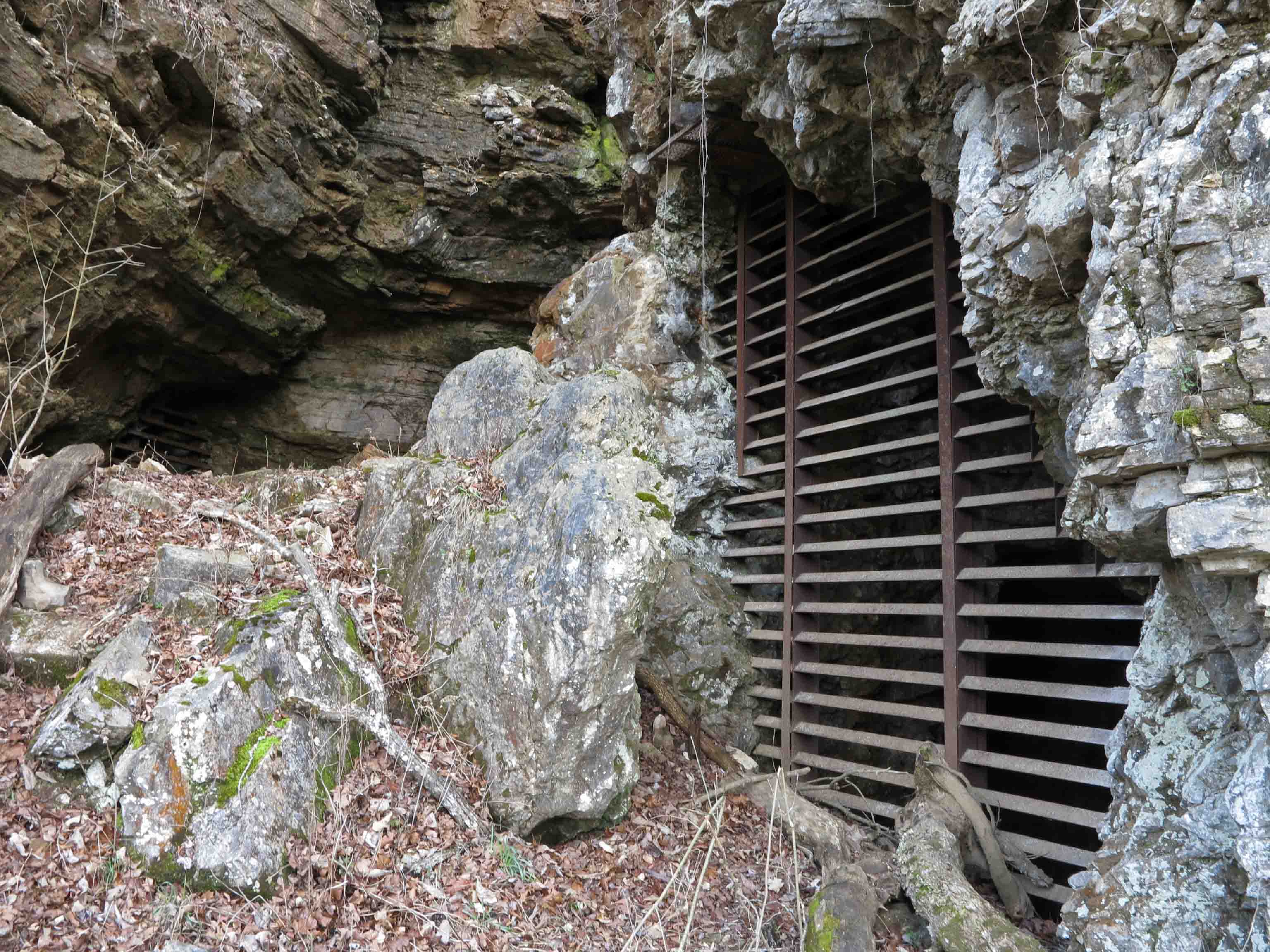
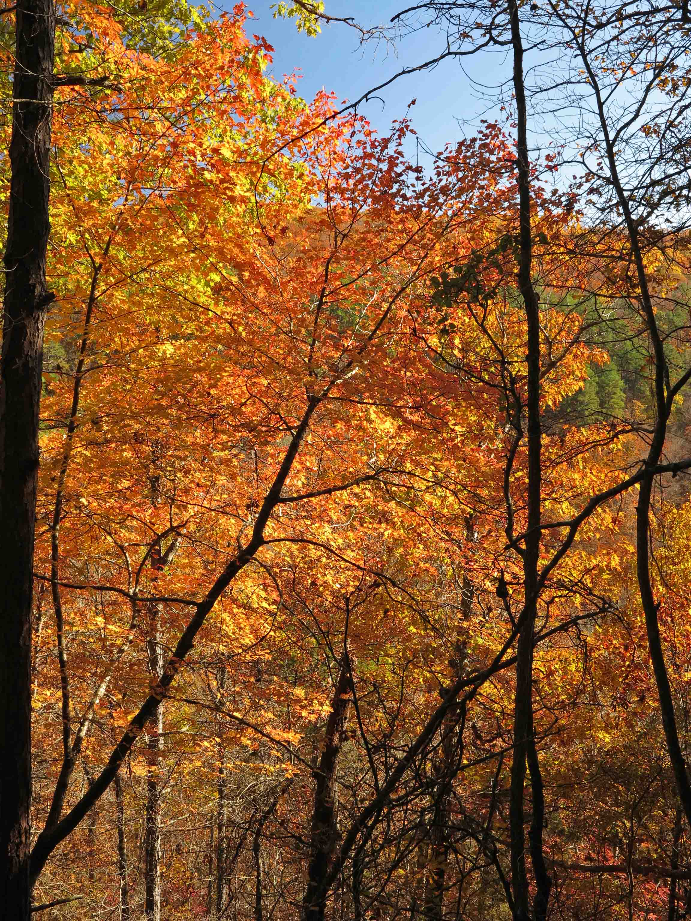
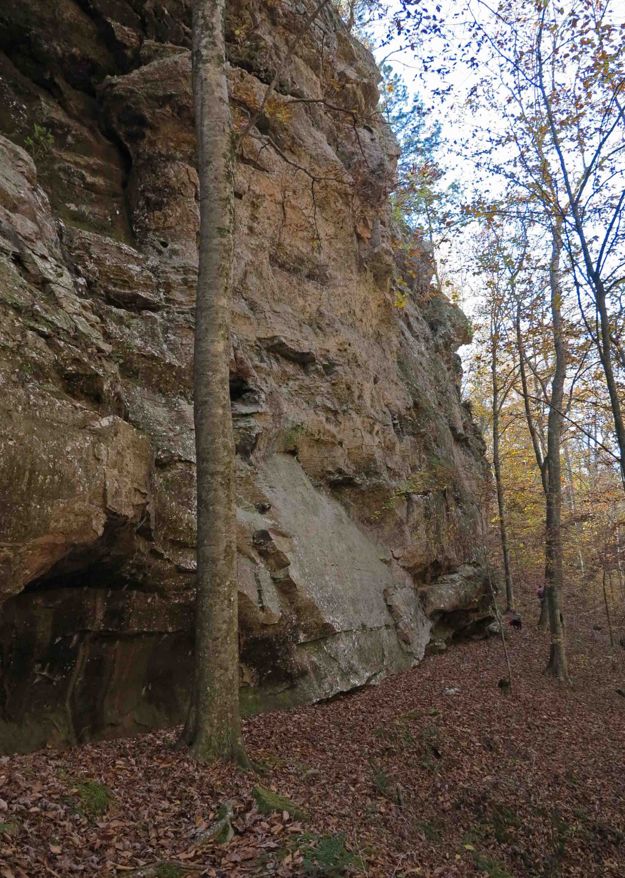
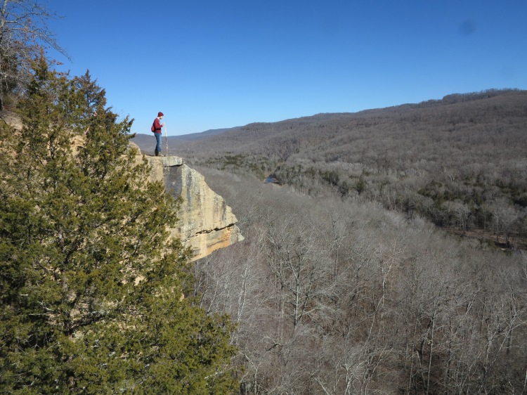
Fortunately for those in the River Valley and Ozarks, the answer is, “Hike anywhere your feet will take you.” We live in one of the best locations in the country for hiking, especially through the fall and winter.

Begin with 1-2 trail miles. I say trail miles because hiking on most trails is more demanding than walking a paved path.  I learned this lesson many years ago on the Seven Hollows Trail at Petit Jean State Park. I was sure we could do four miles in just over an hour since that was our pace on pavement. Two hours later as it was getting dark, my wife and I finished our exhausting hike. Even as an experienced hiker, I always allow about one hour for every two miles of hiking distance.

IMG_1264rr

Copperhead in the Marinoni Scenic Area

What about the bears and snakes?

Bear sightings are rare because our sounds and smells alert bears to our presence. I’ve only seen two bears in Arkansas, and both were at a distance. They avoid humans when possible.

Many fear snakes, but they also avoid people. Just don’t step on or antagonize a snake and you shouldn’t have a problem.

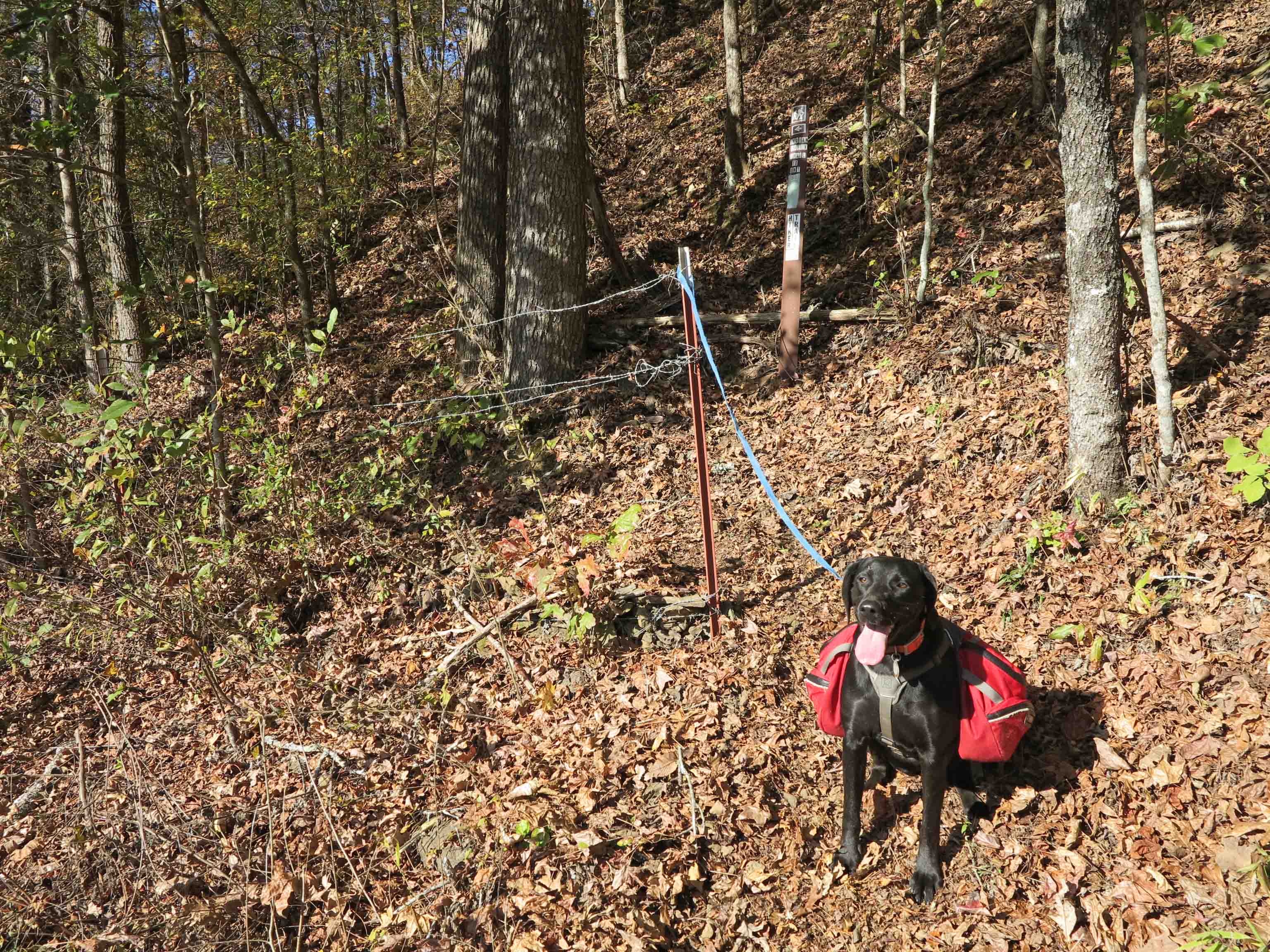
Deer season coincides with some of the best times of year to hike. I tie a hunter-orange bandanna to my daypack year round and avoid impersonating a deer while in the woods. I’ve never had a problem.

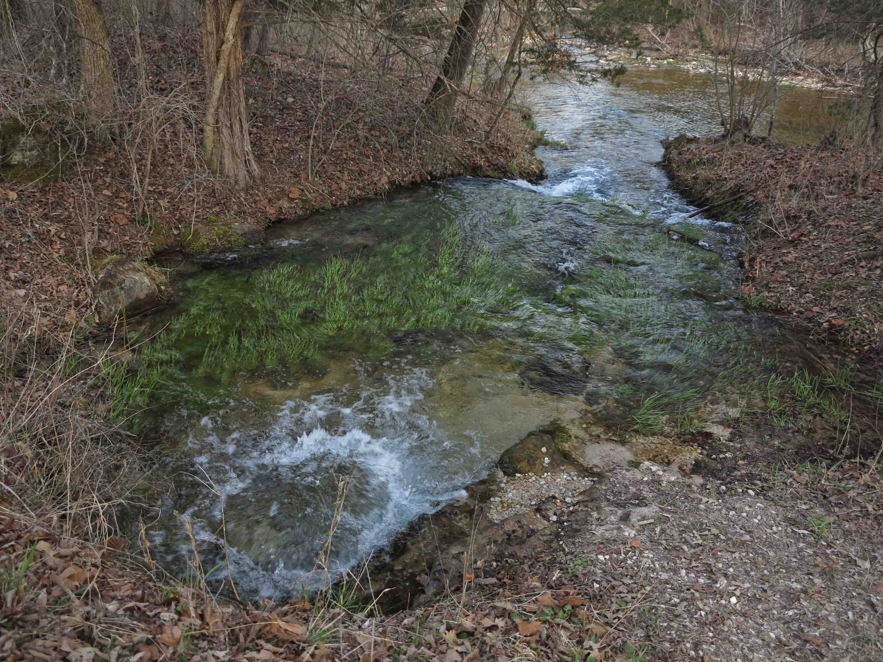
Creek crossings are a real danger in the woods. If you have any doubts about crossing safely, turn around and go back the way you came or go upstream looking for wide areas in the creek bed.

Always tell a friend or family member your itinerary, even if it’s a short day hike. Do this whether hiking alone or with a group.

Do I go or do I stay?

Hiking has enriched my life, enhanced my health, and connected me with some great folks. It’s a great big beautiful world out there. Get out and enjoy!

devils_den_yellow_rock03

Jim Warnock authored Five Star Trails: The Ozarks, a trail guidebook that covers the Ozarks of Arkansas and Missouri. He has thru-hiked the 180-mile Ozark Highlands Trail in Arkansas as well as the 210-mile John Muir Trail in California. The Ouachita Trail is next on his list. Follow his adventures at OzarkMountainHiker.com.

img_8858rr

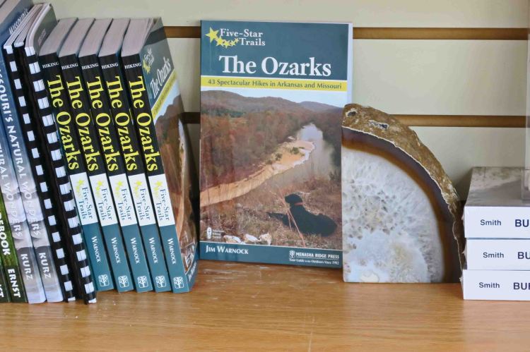
Five Star Trails: The Ozarks is in bookstores and available online.

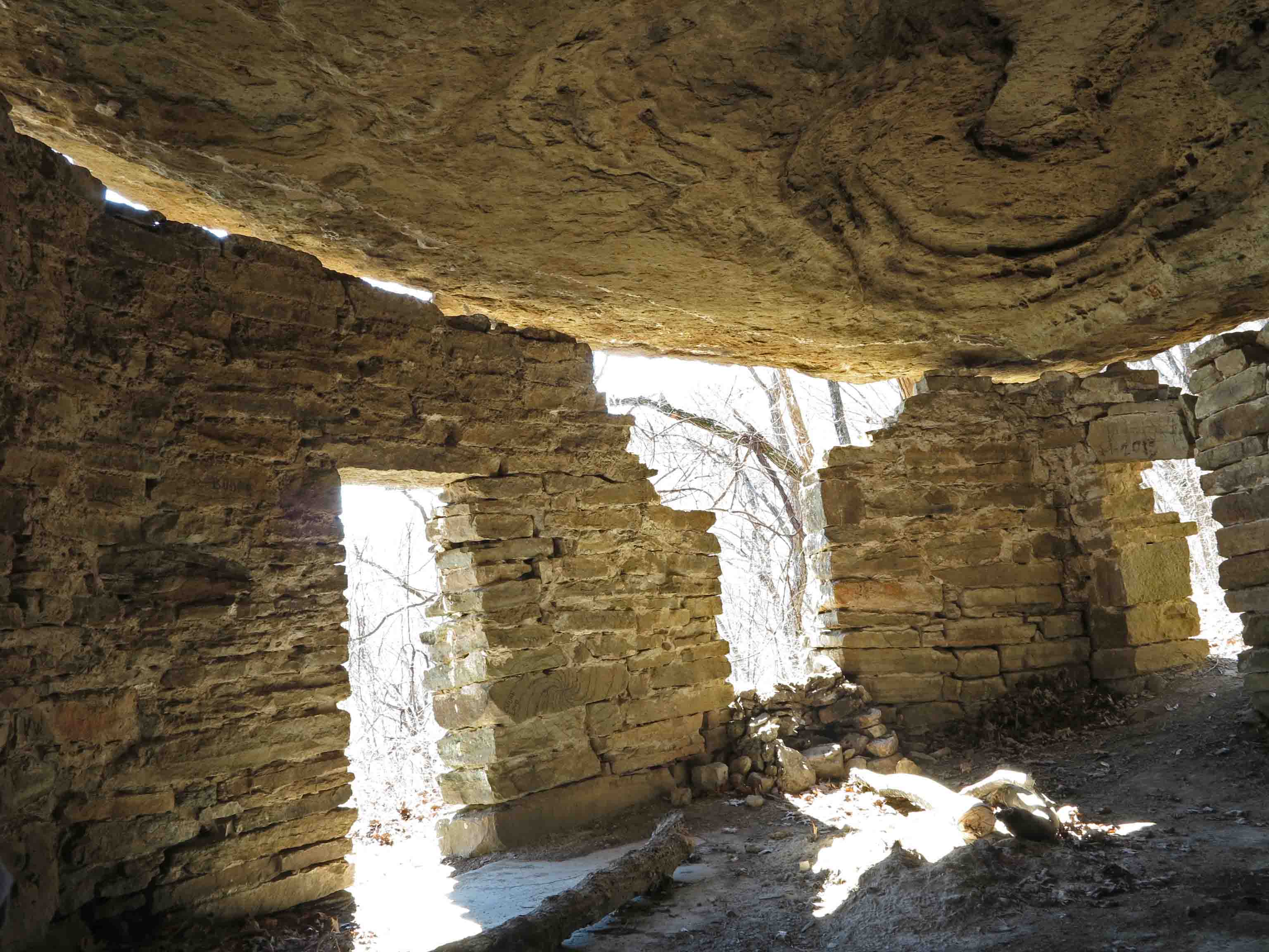
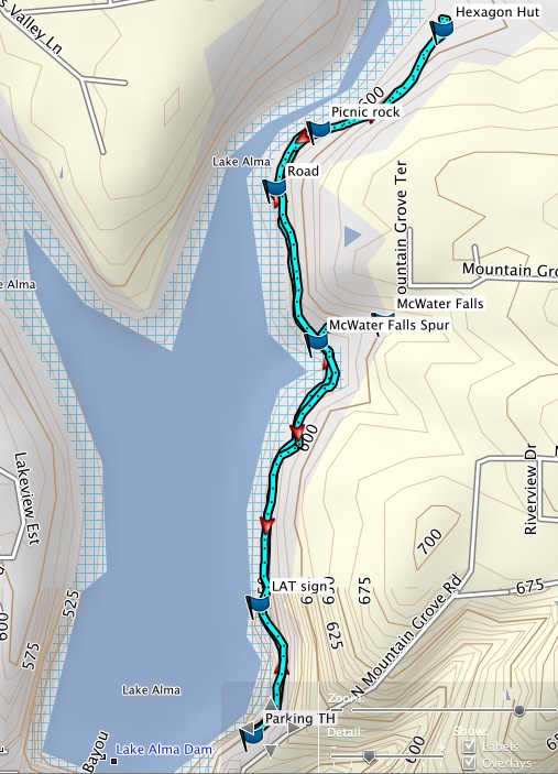
Novice hiker prescription for healthy and happy hiking: Hike the Lake Alma Trail from the picnic area to the waterfall and back (2-mile round trip). Next outing, hike to the Hexagon House and back (3-mile round trip). Gradually work up to hiking the entire 4.2-mile loop. Many trails lend themselves to this approach for increasing distance and endurance.

A map for the Lake Alma Trail is on page 2 of this link:  CAS900 Alma Park

LAT Map 2

Hiking Rush, An Arkansas Ghost Town Photo Tour

Taylor-Medley Store on the left. Home of Lee Medley on the right.

Taylor-Medley Store on the left. Home of Lee Medley on the right.

I was pleased to find the old town of Rush to be a great day hike location! I was afraid the trail would be too short and tame, but it’s just right.

I could have spent the entire day exploring and ended up pushing the limits of remaining daylight. A van full of college kids offered me a ride while I was walking along the creek after my hike. It was nice of them to offer, but I said “no thanks” since the Jeep wasn’t far away. College kids who hike and camp tend to be pretty good folks.

Rush was a mining community that began in the 1880s and thrived in the 1920s when zinc was in high demand during World War I. Rush declined along with the demand for zinc and was finally abandoned in the late 1960s. According to Neil Compton, “by 1969 Rush was bereft of inhabitants except for Gus Setzer and Fred Dirst, an old miner who conducted tours into the mines for wandering visitors…”

Rush eventually came under the ownership of an industrialist who planned to make a tourist trap of the place, but he sold it to the National Park Service. I hate to think of what this place might have been if a developer had gotten hold of it.

Today, interpretive signs are placed along a short trail that loops through the center of Rush. A longer trail follows the mining level up above downtown. If you have several hours to spend, you can hike the 1.7 mile long mine route to the National Park boundary as an out-and-back.

Trailhead

trailhead

A prominent structure is the blacksmith shop, an essential business for a mining community. This is the “new” shop built in the 1920s during the height of the commercial activity in Rush. Ore was transported down Ore Wagon Road to the White River and loaded onto barges. When trucks became dependable enough to transport zinc and replaced wagons, the blacksmith shut down his business and went back to farming.

Blacksmith shop

blacksmith shop

Blacksmith shop

blacksmith shop back yard

ore smelter

ore smelter

This ore smelter is the oldest structure in Rush, built in 1886 by the claim-holders of the Morning Star Mine. They hoped the smelter would reveal silver in the ore. No silver was to be found.

Ore wagon

ore cart

This cart was next to the trail. I was impressed with its heavy construction and how it had stood up to the elements.

Ore wagon

ore cart

IMG_7025rr

This large machine was next to the trail at the Clabber Creek end on Ore Wagon Road. I’m not sure what it was used for, but I was impressed with the large wheels and chain sprockets.

IMG_7049rr

Mine entrance

mine entrance

You’ll pass many mine entrances as you hike the trail. The grills keep visitors out of dangerous mines, but allow bats to come and go freely.

Spring flowing into the creek.

“Boiling Springs” flowing into Rush Creek.

Finding “Boiling Springs” was a treat. The water was clear and cold. A grist mill was once located close by in Rush Creek.

IMG_7058rr

Looking downstream on Rush Creek.

What follows are several historic structures along the road in Rush. Many of these houses were built around 1890. I hope you enjoy this little glimpse into the historic town of Rush. If you’ve been there before, maybe my pictures will bring back good memories. If you’ve not visited, I hope I’ve inspired you to grab your hiking shoes and explore it for yourself soon. It’s a special place!

IMG_7080rr IMG_7086rr IMG_7088rr  IMG_7097rr

I was running low on light at the end of the day, but had to stop and photograph these daffodils that caught my eye. The inhabitants who planted these bulbs many years ago would be surprised to learn that their landscaping would be appreciated by a weary hiker on an early spring evening in 2015.

I was proud to include Rush Ghost Town in my book, Five Star Trails: The Ozarks. Love hiking through history!

Rock House on the Ozark Highlands Trail

Rock House

Rock House

The Rock House is one of my favorite landmarks on the Ozark Highlands Trail (OHT). It’s easily accessed, but most drive Highway 23 unaware of the history perched under a bluff a mere quarter mile walk from the road. As the crow flies, the distance is much closer and during the winter it’s easy to see the highway down below. Don’t let the roundtrip 0.5-mile by trail deceive you. It’s a steep climb on the Ozark Highlands Trail and a short spur trail to the structure.  If you walk to see Rock House, wear sturdy walking shoes and carry some water.

The Rock House was probably built as a shelter for loggers sometime during the 1890s to 1920s when the area was heavily logged for white oak, in high demand because of the expansion of railroads across the country. By the 1930s, the old-growth forests were pretty much exhausted. It still makes a good shelter today in spite of some shifting of the ground that has caused a separation between the wall and bluff. It has a rough concrete floor, and a small spring located in the back of the single room.

IMG_5837rr

The short hike to Rock House begins at Cherry Bend Trail Head, located approximately five miles north of Cass on AR 23 (AKA Pig Trail). This is a popular trailhead for accessing the OHT. Watch for fast traffic when crossing the highway as you begin your walk.

Cherry Bend Trail Head

Cherry Bend Trail Head

A spur trail leads to a nice view behind the trailhead sign, but to access the OHT and Rock House, you’ll cross the highway on a short trail marked with blue blazes.

Lost sole…

Lost sole…

There is a thru-hike trail register at the intersection with the OHT. We’re going to turn left onto the OHT and head sharply uphill following white blazes. I only saw one “lost sole” on my hike up to Rock House. You’ll often have the OHT all to yourself, but you might encounter thru-hikers and enjoy a short visit about their time on the trail.

Sign indicating spur trail to Rock House

Sign indicating spur trail to Rock House blue blazes marking the spur and white blazes marking the OHT

IMG_5829rr

Front door facing the approaching spur trail

IMG_5807rr

On a thru-hike of the Ozark Highlands Trail in December of 2013, a hiking buddy and I spent a cold night in the Rock House sheltered from the rain. Seeing car lights below made me want to rush down and beg someone to bring pizza from Clarksville, but staying warm in my sleeping bag won that short mental argument.

Today as I revisit the Rock House, it’s sunny and mild for February. The views of the Ozark Mountains to the east are enticing. I feel the desire to load my pack and head out for a multi-day hike over Hare Mountain and through the Marinoni Scenic Area to Lick Branch.

Hiker and spring in the back of the Rock House

Hiker and spring in the back of the Rock House

Hiker attempted to drink from the spring in the back corner but the water was a couple of feet below the edge, and she didn’t couldn’t reach it. The water from this spring  needs to be filtered. The single time I filtered water here, it wasn’t the best.  It would be good water if you’re in a bind or have time to filter it through cloth before using your water filter.

Inside the Rock House

Inside the Rock House

You can see the toll that time has taken. The separation of the rock walls from the bluff ceiling are evident as well as the loose rocks around doors and windows. Please leave this fragile structure as you find it. The Rock House is a little historic treasure we’ll want our children and grandchildren to see for years to come!

Note: I’ve enjoyed sharing a glimpse of the rich history surrounding the Ozark Highlands Trail. If you know of other structures in the Arkansas or Missouri Ozarks, please share them with me on my feedback page or comment on this post.

Route from Hwy 23 to Rock House

Route from Hwy 23 to Rock House

Cherry Bend Trail Head GPS: N35 44.554 W93 48.799

Cherry Bend Trailhead is located approximately 5 miles north of Cass on Arkansas Highway 23.  The second waypoint on the above map is the intersection with the OHT. The OHT route showing on this web map is an approximation.  The last waypoint on the east side of Highway 23 is the Rock House.

Back door of the Rock House

Back door of the Rock House

Lake Alma Trail: kid friendly out-and-back day hike

McWater Falls

McWater Falls (photo J. Warnock)

Trail description and photos: Jim Warnock

At a Glance

GPS:  N35 29.818 W94 13.073

Distance and Configuration:   2.6-mile out-and-back

Hiking Time: 2 hours (approximate)

Highlights: Lake views, waterfall, and beautiful creeks.

Facilities: restrooms and picnic area

Wheelchair Access: no

Dogs: yes

Comments: The 1.6-mile out-and-back to McWater Falls is an easier option for those wanting a shorter hike.

Contacts: facebook.com/LakeAlmaTrail    Email: hmcwater@windstream.net     Blog: ozarkmountainhiker.com

Overview

If you’re a parent looking for an easy day hike to introduce your children to the gentle pleasures of nature or a trail runner looking for a heart-throbbing but pleasant path, this out-and-back hike is for you!

Chuck Dovish, of Exploring Arkansas with AETN, said, “It’s amazing that so much variety and diversity of scenery is found right inside the town of Alma.”  You’ll see bluff lines and moss-covered boulder fields up close.  You’ll walk beside clear streams, rocky cascades and a 12-foot waterfall.   Situated within a diverse mixed hardwood forest, you may spot deer, rabbit, fox, great blue heron, and a variety of songbirds and wildflowers.

The Hike

We’ll be accessing the Lake Alma Trial by the paved walking path that connects to the parking area.  As you begin walking you’ll see another paved path down below and closer to the lake on your left.   Note:  There are mile markers on this trail, but they are approximate and based on distances calculated from the kiosk. Our mileage will be calculated beginning and ending at the parking area, making the mile markers on the trail shorter than our actual distance.

At mile 0.2, you’ll arrive at the Lake Alma Trail kiosk.  Stop and have a look at the map and check for updates on trail conditions.  This is where the pavement ends, and the work of volunteers begins.  The kiosk was built and installed by volunteers.  The trail logo was created by a young community volunteer.  The tread on which you walk was cut out, and continues to be maintained, by volunteers.

The first section of the trail is easy walking.   At mile 0.5, the trail turns to the right and goes up to cross a small drainage.   More easy walking until you arrive at the first bridge.  The trail follows around the base of a hillside and then crosses a second bridge.  If water is flowing under this bridge, the waterfall is flowing and definitely worth seeing.

Take a right on the McWater Falls spur trail, arriving at the falls at mile 0.8.  This is a nice out-and-back for children and novice hikers and provides a 1.6-mile hike.  If you have young children, consider this option and take your time returning to the trailhead.

This waterfall is named for Harry McWater, the man who had the vision for this trail. During the late 1990s as a member of the Alma City Council, Harry brought up the possibility of a trail around the lake several times only to be told that money for such a project wasn’t available.  In 2011, during a conversation with the mayor he asked, “What if I find volunteers to get that hiking trail built?”  The mayor said, “Go for it!”

With that, Harry sought expertise and labor from the Arkansas Master Naturalists, Ozark Highlands Trail Association, Fort Smith Trailblazers, and local volunteers, including student organizations and scout troops.  The trail began to see regular use in the spring of 2012 and its popularity has continued to grow.

Now, back on the trail.  After enjoying McWater Falls, backtrack one-tenth of a mile to the main trail and turn right.  You’ll get glimpses of the lake in the distance on your left.   At mile 1.0, you’ll turn right onto an old roadbed.  Watch to your right for some nice bluff areas and rock formations as you walk this section. At 1.3-miles, you’ll pass moss and lichen covered boulders that appear to have tumbled down the hillside on your right. Just past the 1-mile marker you’ll come to the Hexagon Hut.    This homesite is a great place to explore.  Please leave any historical artifacts in place.  Mystery surrounds the construction of these structures and their occupants.

Hexagon Hut

Hexagon Hut

At this point, you’ve actually hiked 1.4 miles from the parking lot and including the waterfall spur.  This is where we’ll turn around and return to the trailhead for a 2.6-mile hike.  Sometimes the best part of a hike is the backtracking portion.  You’ll often notice views missed on the first trip through.

Note: The Lake Alma Trail does loop all the way around the lake, returning to the trailhead by way of the dam, but this is a 4.5-mile strenuous hike.  There are some very rocky and difficult sections beyond the Little Frog Bayou crossing. Only experienced hikers with water and sturdy shoes should consider doing the whole loop trail around Lake Alma.

Directions

Take Exit 13 off of I-40 and drive north to the first traffic light.  Turn right (east) onto Collum Lane East.  Drive 0.2 mile and then left (north) on Mountain Grove Road.  Drive north on Mt. Grove Road for 0.3 mile and take a left just past the two green water tanks.  Drive down to the picnic area parking.  The Lake Alma Trailhead is at the opening in the parking guardrail.

Lake Alma Trail out-and-back

LAT3

Logo design by Ashley Campbell

IMG_3519rr

Fall in the Marinoni

View from the trail.

View from the trail down into the Briar Creek drainage.

Fall colors, sunny skies, and high temperatures in the 60s.  It doesn’t get much better than this!   The Marinoni Scenic Area is beautiful in fall.

An unassuming beginning point for the beauty to be found down this trail.

An unassuming beginning considering the beauty to be found on this trail.

The Dawna Robinson Spur Trail leads to the Ozark Highlands Trail and then east into the Marinoni.

View into the Indian Creek drainage.

View into the Indian Creek drainage as you climb switch-backs up toward the OHT.

Hiker-dog enjoying walking with new friends.

Hiker-dog enjoying walking with new friends.

I never tire of walking alongside the bluffs of the Marinoni.

I never tire of walking alongside the bluffs of the Marinoni.

Hiking with Hiker-dog up the Dawna Robinson Spur Trail.

Hiking with Hiker-dog up the Dawna Robinson Spur Trail.

Hiker says, "Wear orange and don't act like a deer."

Hiker says, “Wear orange and don’t act like a deer.”

I learned something new about Hiker-dog on this day.  She stayed close to me and on the trail when deer hunters were firing in the area.  She had her hunter orange on and didn’t go prancing through the woods.  Smart dog!

If you need more information and driving directions to this trail, check Making Time for Marinoni.