What do I wear?
What do I take with me?
Where should I go?
When should I go?
What are the dangers? Will a bear get me?
Many questions come to mind when you consider taking a hike for the first time. We’re going to consider these questions and be sure we have some simple answers before heading out. A few good questions can keep us out of trouble and ensure that we want to continue hiking after our early experiences.
Disclaimer: This is not an all-encompassing day hiking guide. These are just my thoughts based on personal experience and a few mistakes along the way.

Oboz hiking shoes
What do I wear?
You can wear almost anything and get away with it on the trail. Don’t worry about fashion, but function. We’ll look at this from the ground up since feet are very important to hikers.
- Socks are among a hiker’s most important pieces of clothing. I use SmartWool socks, but there are other options. Don’t wear cotton socks unless you like blisters and soggy, smelly feet. Any tennis shoes of reasonable strength are fine for day hiking. Don’t go purchase a heavy pair of hiking boots unless you just want to. I don’t even wear heavy boots when backpacking. I use low-top hiking shoes. I like Oboz right now, but whatever feels good on your feet should guide your decision.
- Pants – If the weather is nice, any pants will do. If it’s cold, I prefer anything but cotton pants. Cotton gets wet (making you colder) and then will not dry out in the humid Ozarks until a few days later. When hiking in the Ozarks I almost always wear long pants because of undergrowth, briars, and ticks.
- Underwear – For a short day hike, you can use cotton, but as you work up to longer hikes, you’ll want a pair of undies made from a fabric other than cotton.
- Shirt – A cotton shirt in summer is alright but if there is a chance of colder temperatures, something like an UnderArmor t-shirt will keep you warmer than cotton.
- Hat – A hat is good for sun protection and heat retention, depending on the weather. I accidentally left my hat in my car at the Grand Canyon once and was thankful I had a bandana to tie into a makeshift hat. In some conditions, a hat is a necessity!
- Rain protection (especially in cooler temperatures) – A light rain jacket can be wadded up in the bottom of your daypack and forgotten about until needed.
- Gloves – Anything but cotton and only if needed. I wear some cheap army surplus wool glove liners when I hike, and they’re fine. I also have some nicer gloves for colder weather but am nervous about losing them. They hook together which is nice for storage in my pack. Finding one glove is more irritating than finding one sock in the drawer.

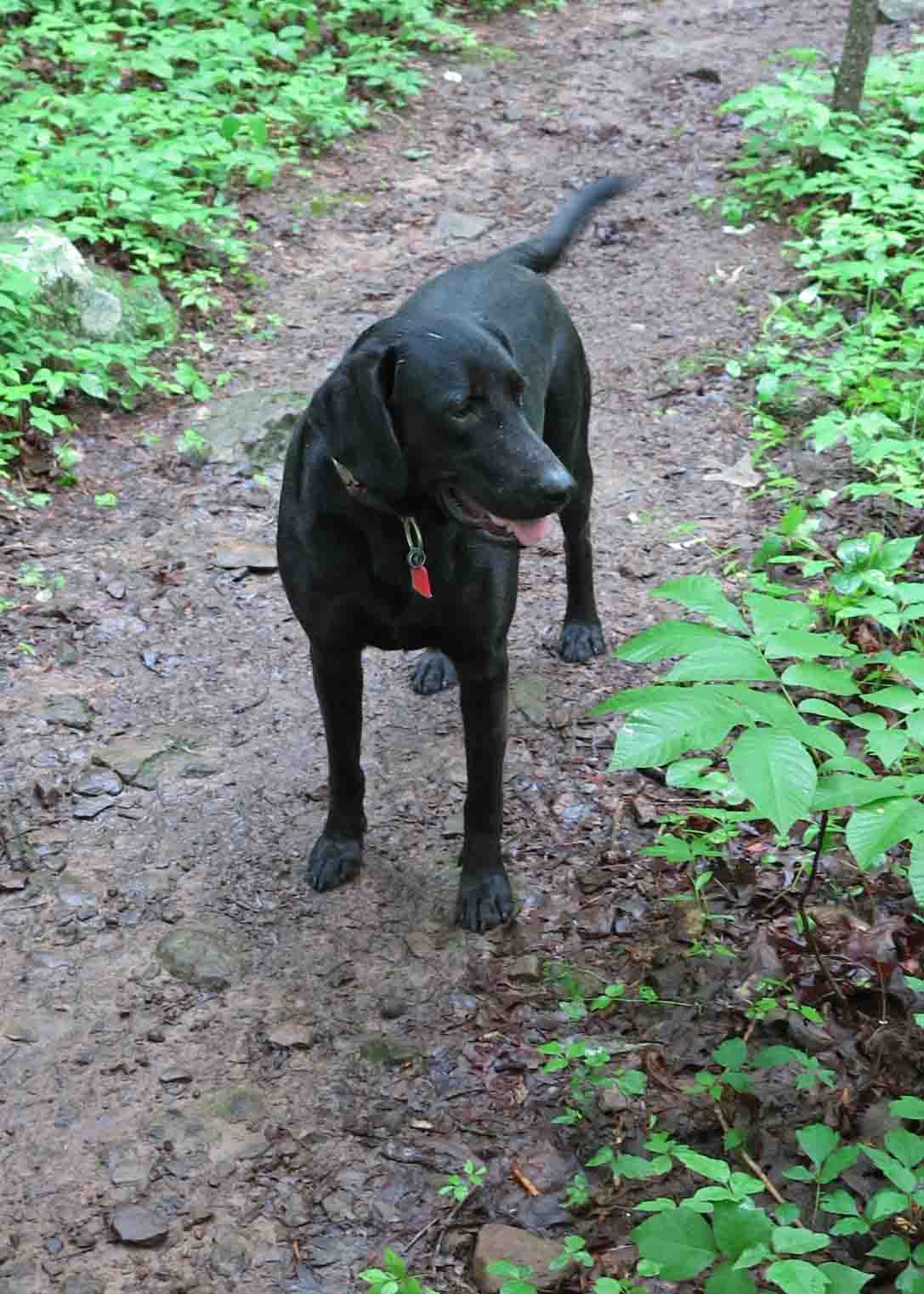
Hiker-dog says, “The less you carry, the better you move.”
What do I take with me?
As little as possible is my short answer, but there are some essentials you’ll want to have depending on the conditions. This list is drawn from the ten essentials that are published in many forms. Below is my list roughly by personal priority.

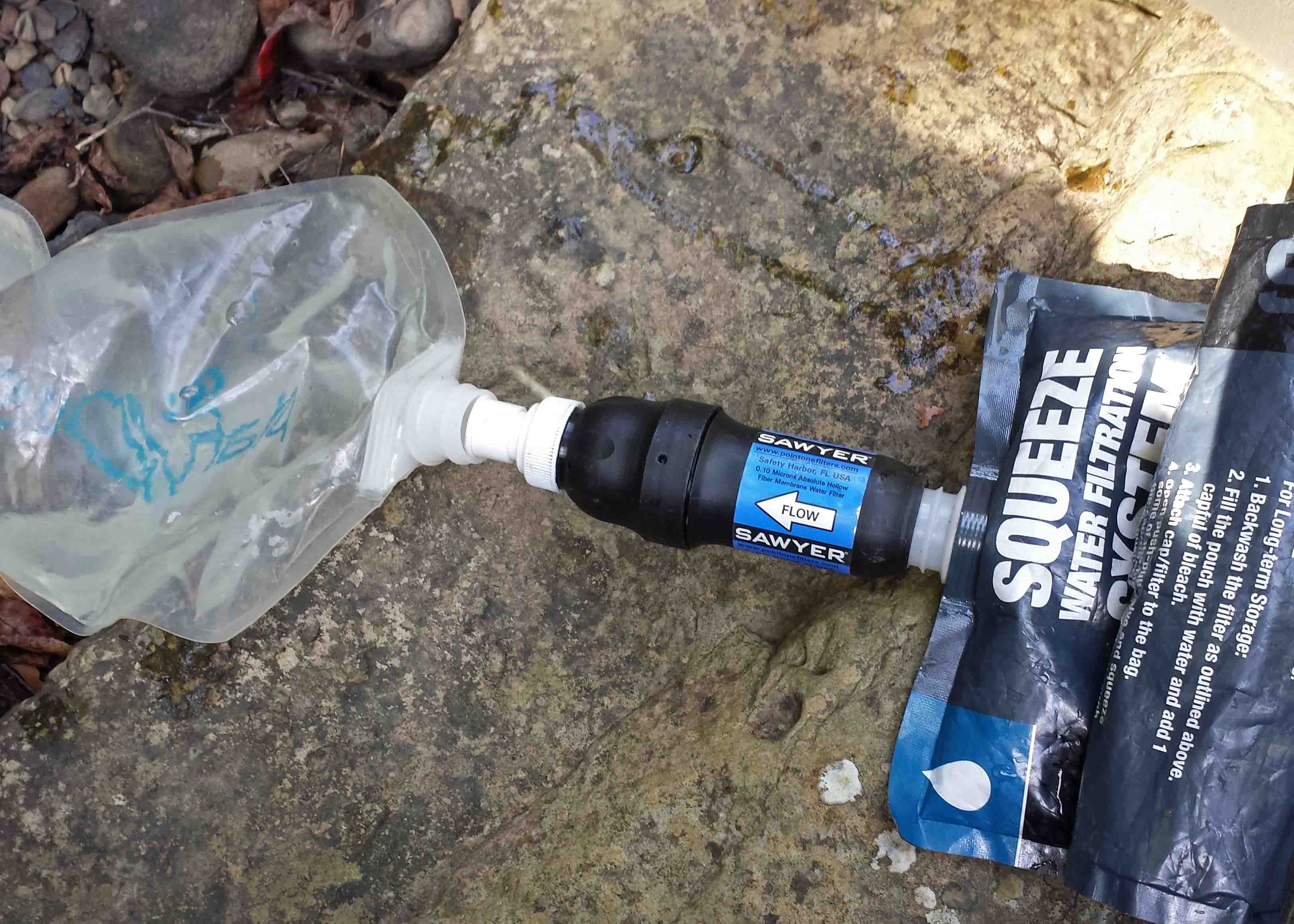
Filtering water from Spirits Creek with a Sawyer Filer
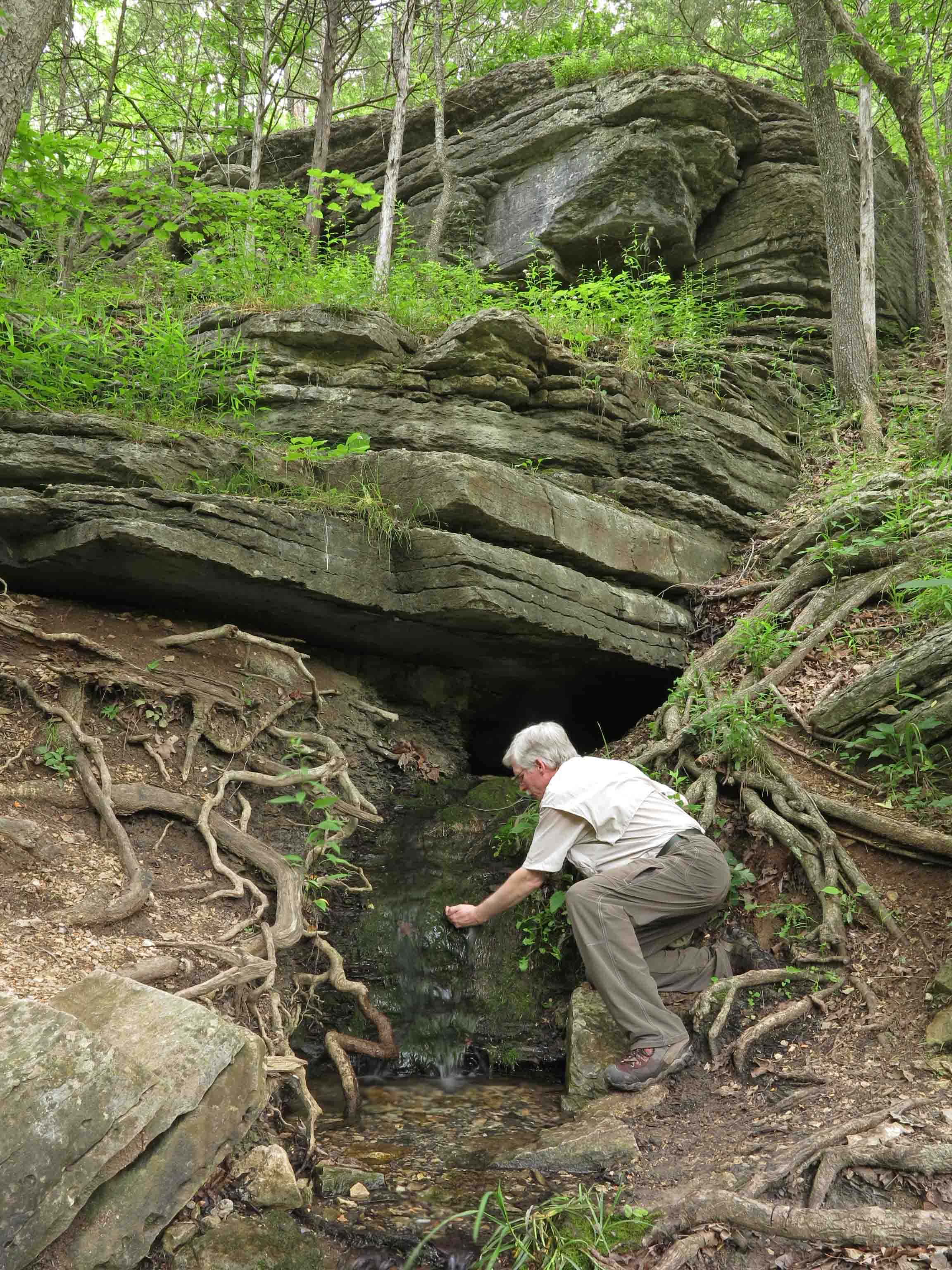
- Water and access to water – Put your water in a bottle or a bladder in your pack. One expert hiker friend, Grey Owl, swears by carrot juice bottles. He gave me a couple, and I use them all the time. I carry a small Sawyer water filter in my daypack in case I run low. It doesn’t add much weight and has made me a few friends on the trail when others needed water.
- Food – Snacks that you’re used to eating are what you should take on the trail. This is no time to try something new in the food department.
- Extra clothing – Think protection from the elements. If it looks like rain, carry rain protection. If it looks like cold, carry an extra layer. My all-time favorite is an insulated vest. Stuff it in the bottom of your pack and it’s like a little insurance policy against a cold snap.
- Navigation – Don’t assume that you can’t get lost on a well used trail. Like Jeremiah Johnson, “I’ve never been lost, just confused for a month or two.” Fortunately, I’ve only been confused an hour or so, but it can be a little scary if you’re not prepared. A trail map of the area you’re hiking can make or break your trip. It doesn’t have to be elaborate. Sometimes I just copy the appropriate pages from a trail guide and put them in a zip-lock bag. A compass is important. Even a general idea about directions can save you some grief. Don’t count on the compass app on your phone or GPS. Batteries don’t last. I have a small compass/thermometer that ties to a belt loop or my day pack. It’s always there.
- Illumination – A small headlamp or flashlight in your pack can be a big help if a hike takes longer than anticipated and you’re walking the last part of your trail in the dark. I carry a small LED light in my day pack at all times.
- Sun and bug protection – A little sunscreen can make you a happy and healthy hiker. Bug spray around the cuffs of your pants can discourage ticks. A little spray around your hat area can discourage deer flies and mosquitoes if you’re hiking in summer. Check for ticks often. If they get attached and stay awhile, your chances of getting one of several tick-borne diseases increase. I can usually feel the little guys climbing up my legs and pick them off before they attach.
- First Aid supplies – I like a zip-lock with some bandaids and any medicines I might need if stranded for a while. Keep it simple and light and then forget about it until you need it. Avoid purchasing a first aid kit because it will not be customized for your needs and you’ll be carrying unnecessary stuff.
- Fire – I carry a lighter. Don’t smoke, but I always have a lighter with me just in case I need a fire.
- Emergency shelter – This is simple to do. Cut a 8-10-inch hole close to the bottom of a large trash bag. I stuff it in the bottom of my pack and forget about it. I can put the bag over me and sit inside for shelter. The small opening allows me to see and breath but protects me from the elements. I’ve never used this but it’s like that cheap insurance policy I mentioned earlier.
- Most ten essentials lists include repair kit, but for day hiking I don’t carry any tools other than a small pocket knife. One of my hiking poles has some duct tape wrapped around it for emergencies. I’ve used this twice to reattach a shoe sole for other hikers.

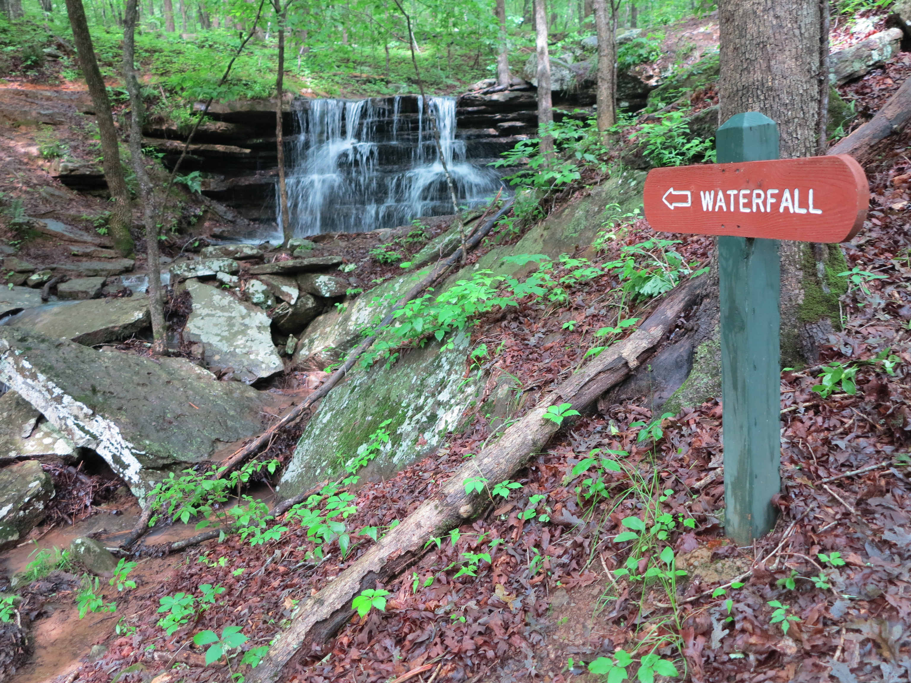
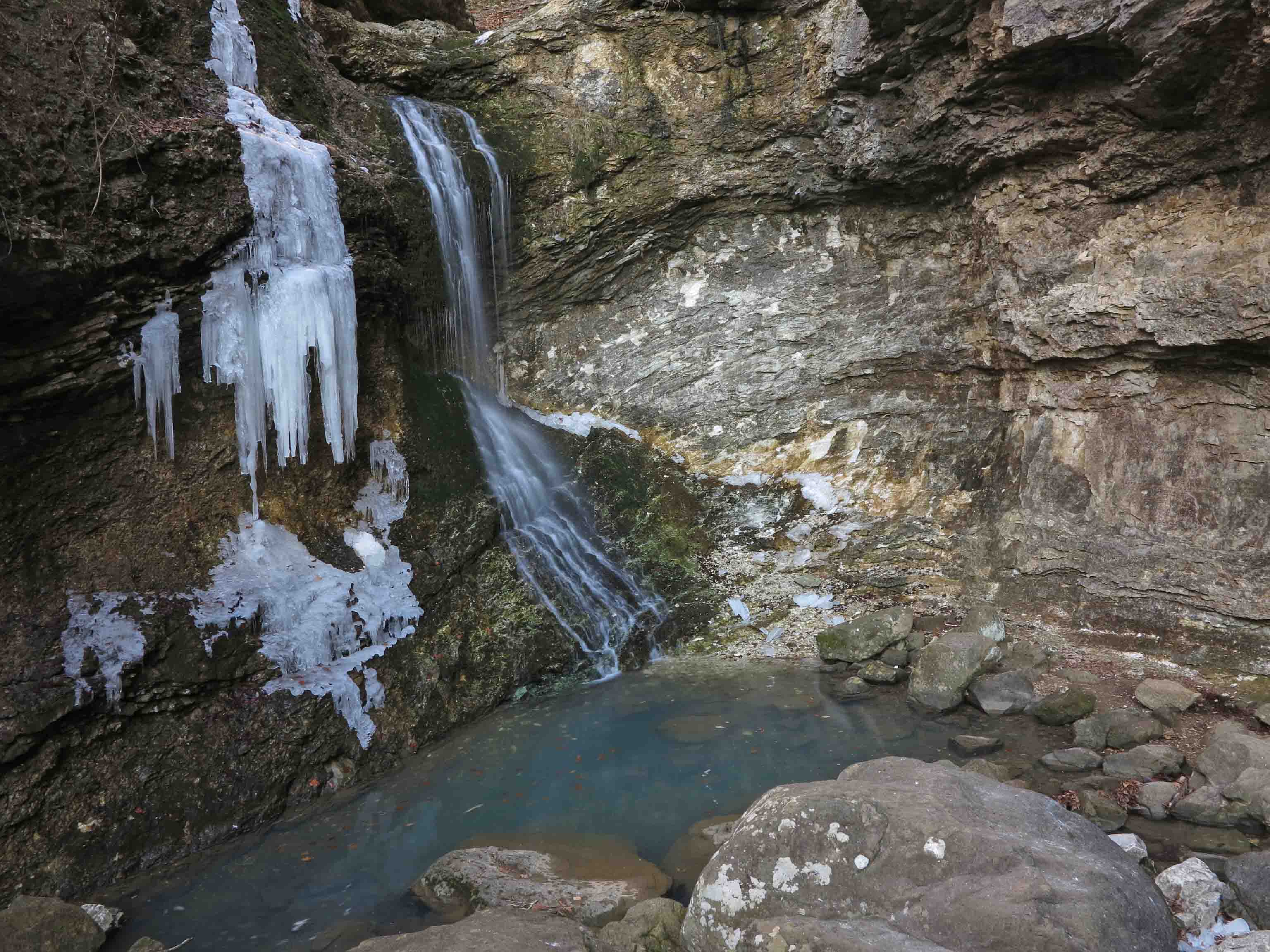
Where should I go?
The short answer is, “Hike anywhere your feet will take you.” The longer answer is to put in a little thought and planning before you head out. When in doubt, hike fewer miles. Begin with 1-2 trail miles. I say trail miles because hiking on most trails is more demanding than walking a track. I learned this lesson once on the Seven Hollows Trail at Petit Jean State Park. I figured we could do four miles in just over an hour since that was what it took on a track. Over two hours later as it was getting dark, my wife and I finished our exhausting hike. Even as an experienced hiker, I always allow about one hour for every two miles of hiking distance.
Pick up a Five-Star Trails guidebook that covers trails in your area. I collect guidebooks like my mother collected cookbooks. It’s fun to browse through to determine possible next hikers. If you’re traveling, Google the area to see what hiking trails are available. I came across a couple of hikers on the Lake Alma Trail who were from Nebraska. They’d checked the web and found our trail. They were delighted with the hike and looking forward to a meal in town before hitting the road refreshed and relaxed.
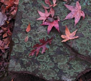
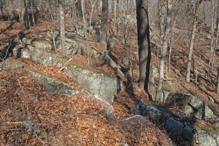
Fall leaves along the trail.
When should I go?
The short answer is to go as often as possible. In the Ozarks, we have a large hiking window. My favorite months are October through May. September is iffy due to possible warm days. Fall and winter are prime hiking months. June, July, and August are good months for early morning day hikes or some trips out west at higher elevations. Sometimes you’ll catch a cool snap in the Ozarks during the summer months, but that’s rare.
What are the dangers?
The dangers are few and not what you might expect. Bears and snakes are not a concern. Just don’t step on or antagonize a snake and you shouldn’t have a problem. Bear sightings are rare because of the noise hikers make, and our smell usually cues the bear to our presence. I’ve only seen one bear in Arkansas, and that was at a distance. I don’t carry a gun when hiking because it adds weight and addresses none of the real hazards of hiking.
Hazards to avoid through preparation (in no particular order): dehydration / heat exhaustion / hypothermia / ticks / mosquitoes
Deer season coincides with some of the best times of year to hike. I tie a hunter-orange bandana to my day pack year round and avoid impersonating a deer while in the woods. I’ve never had a problem.
One of my readers reminded me of the importance of telling a friend or family member your itinerary, even if it’s a short day hike. Do this whether hiking alone or in a group. I write my trail location and route on a note and leave it with my wife in hopes that she’ll want me to be found if I become lost. If my wife is with me on a hike, I’ll email my itinerary to a trusted hiking buddy.

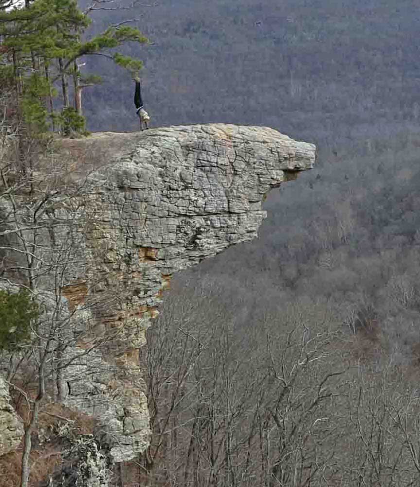
A couple looking at Hawksbill Crag in the distance.
Get linked up and get out!
You might want to join a hiking club in your area, but check the descriptions of their hikes carefully, so you don’t end up exhausted or with a stress injury. Most hiking groups schedule hikes suitable for novice hikers. The truth is experienced hardcore hikers still enjoy a nice scenic stroll with their camera. In my area, the Fort Smith Trailblazers do a lot of great day hikes. The Ozark Highlands Trail Association and Ozark Society also do group day hikes and backpacking trips of varying difficulty. Hiking with others is a great way to accelerate your knowledge about hiking and hiking locations to explore.
Hiking has enriched my life, enhanced my health, and connected me with some great folks. It’s a great big beautiful world out there. Get out and enjoy!

Small spring next to a trail in the Ozarks of Missouri