It’s too dry, too warm, and a busy time with the job. It’s the im-perfect time for hiking the first 51 miles of the Ouachita Trail (pronounced: Wash’-i-taw). But, wait too long, and I’ll hear Jimmy Buffett in my head singing, “someday I will.” So, thru-hiking the Ouachita Trail has been on my to-do list long enough. Perfect time or not, now’s the time to do this!
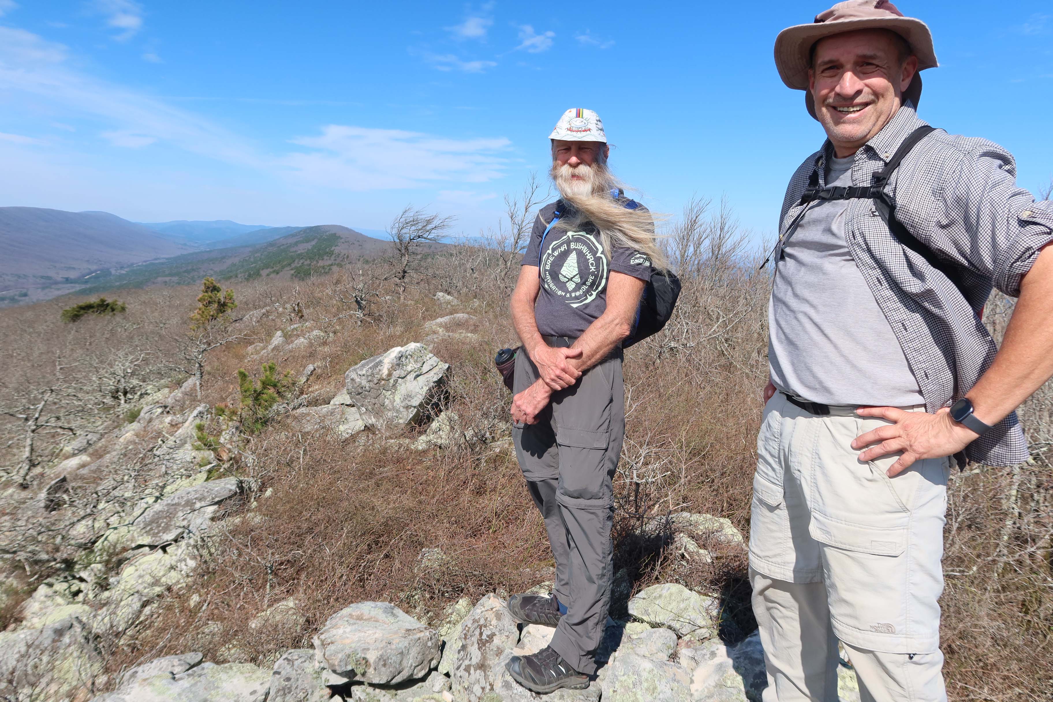
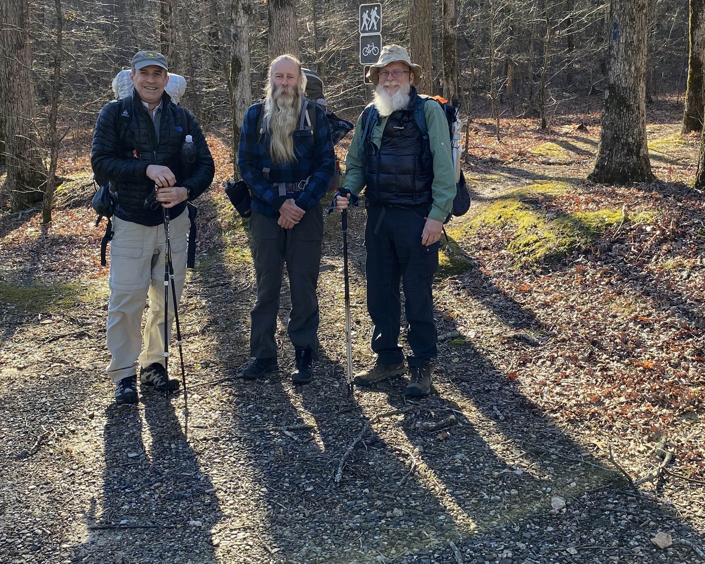
Bob Cable completed the Ozark Highlands Trail thru-hike with me, so I contacted him about doing this. He was ready to go, and we hoped others might join us for some of the sections.
The plan developed to do the first very dry 51 miles over a week in late November, planting water caches where needed. We’d continue our hike over Christmas break.

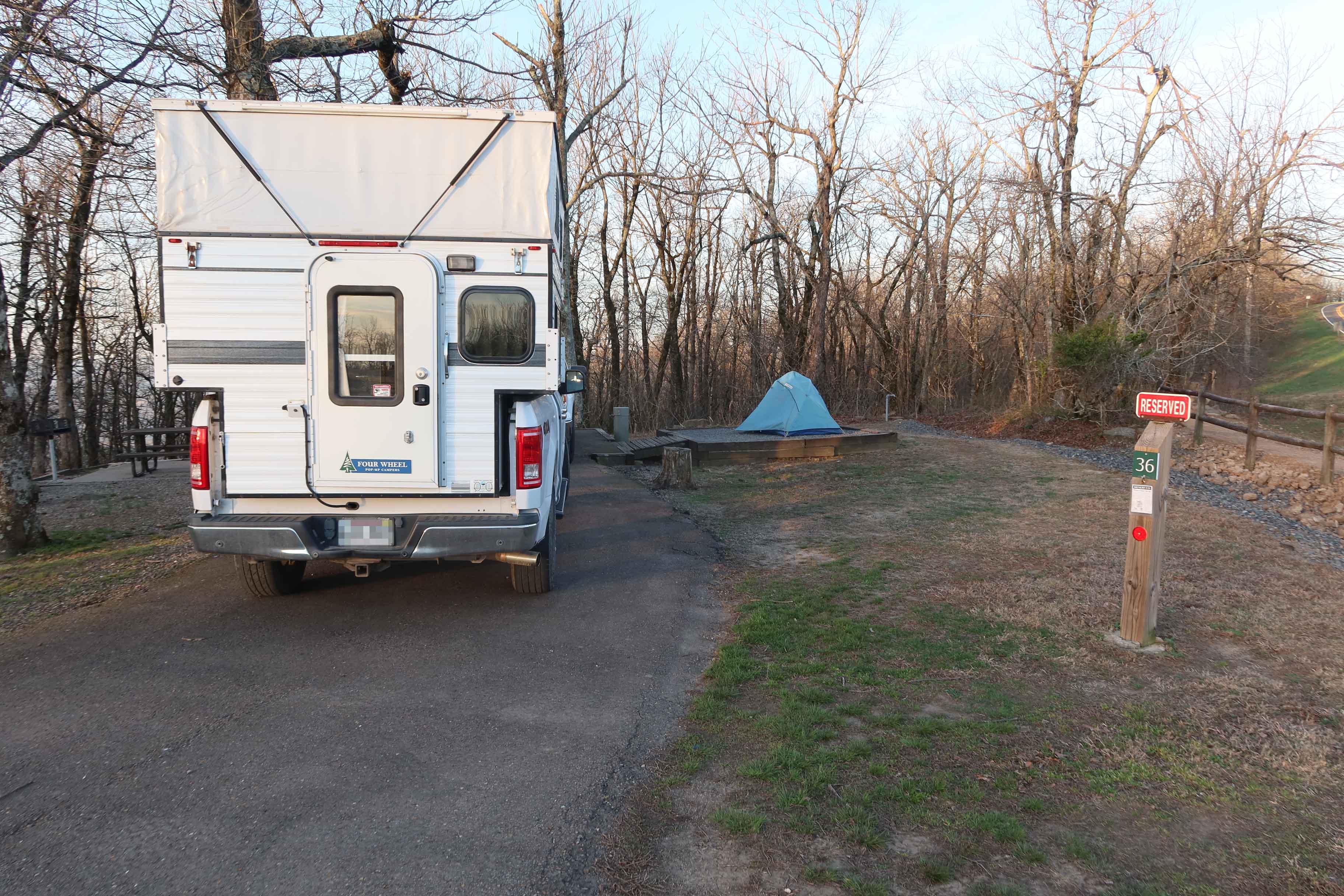
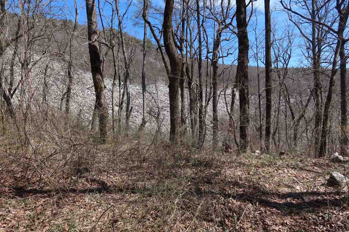
Our first steps on the trail at Talimena State Park were met with a cool, sunny morning, and a pine needle carpeted forest floor. Early on, we passed through a glade-like area that reminded me of the Missouri Ozarks.

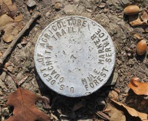
Sometimes, mile markers were missing but usually shown with placards. Less often, we’d see USGS metal markers.
Thanks to Michael Reed for his Ouachita Trail Map linked from his blog, The Compulsive Hiker. A portion is shown on the heading of this post.
We were surprised to see water pockets in a small creek as we approached Dead Man’s Gap where we’d stashed couple of gallon jugs the day before. I didn’t schedule Hiker-dog for this trip due to water concerns and my lack of familiarity with the trail. She was missed, but will join us on later sections.
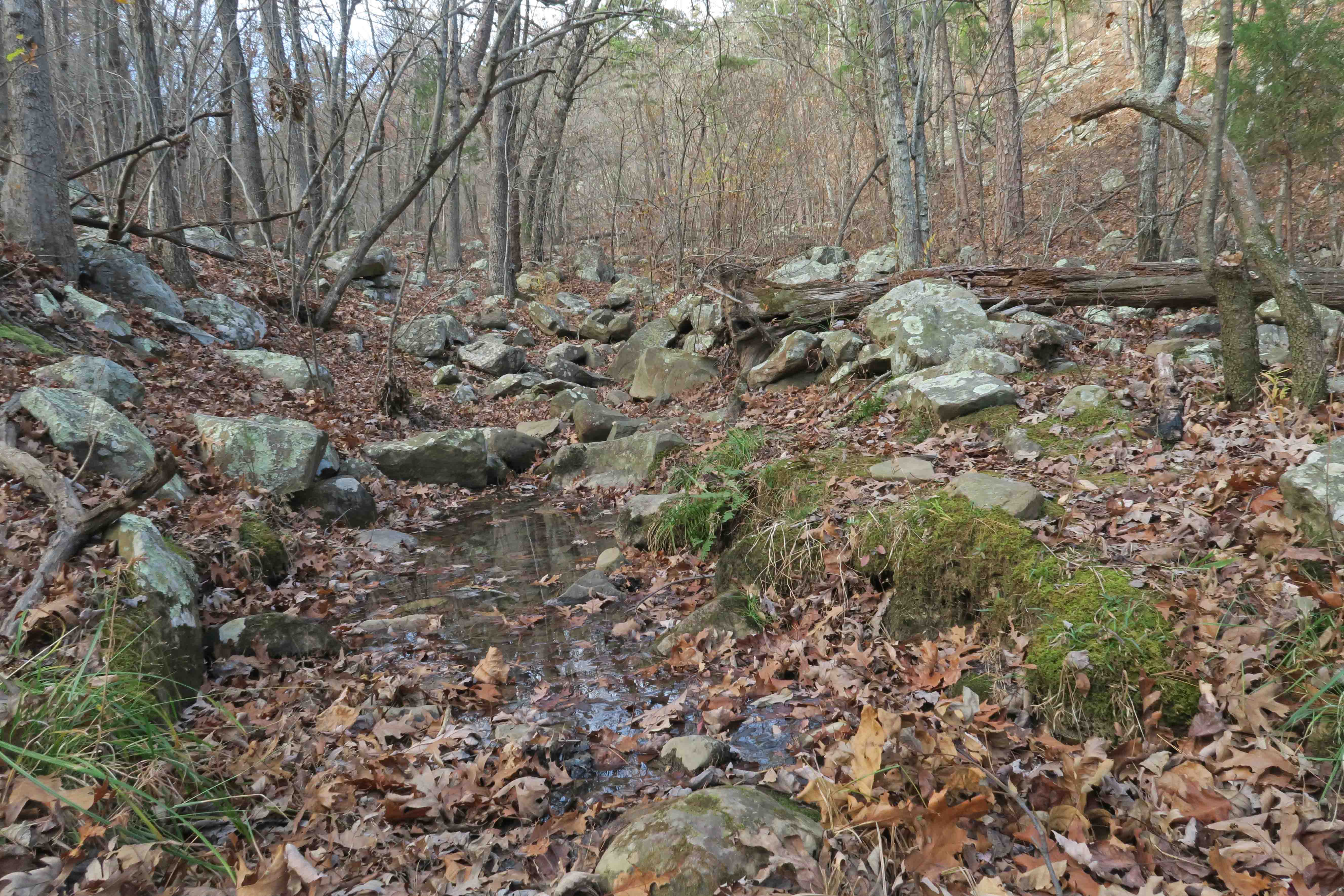
Small water pocket covered in leaves.

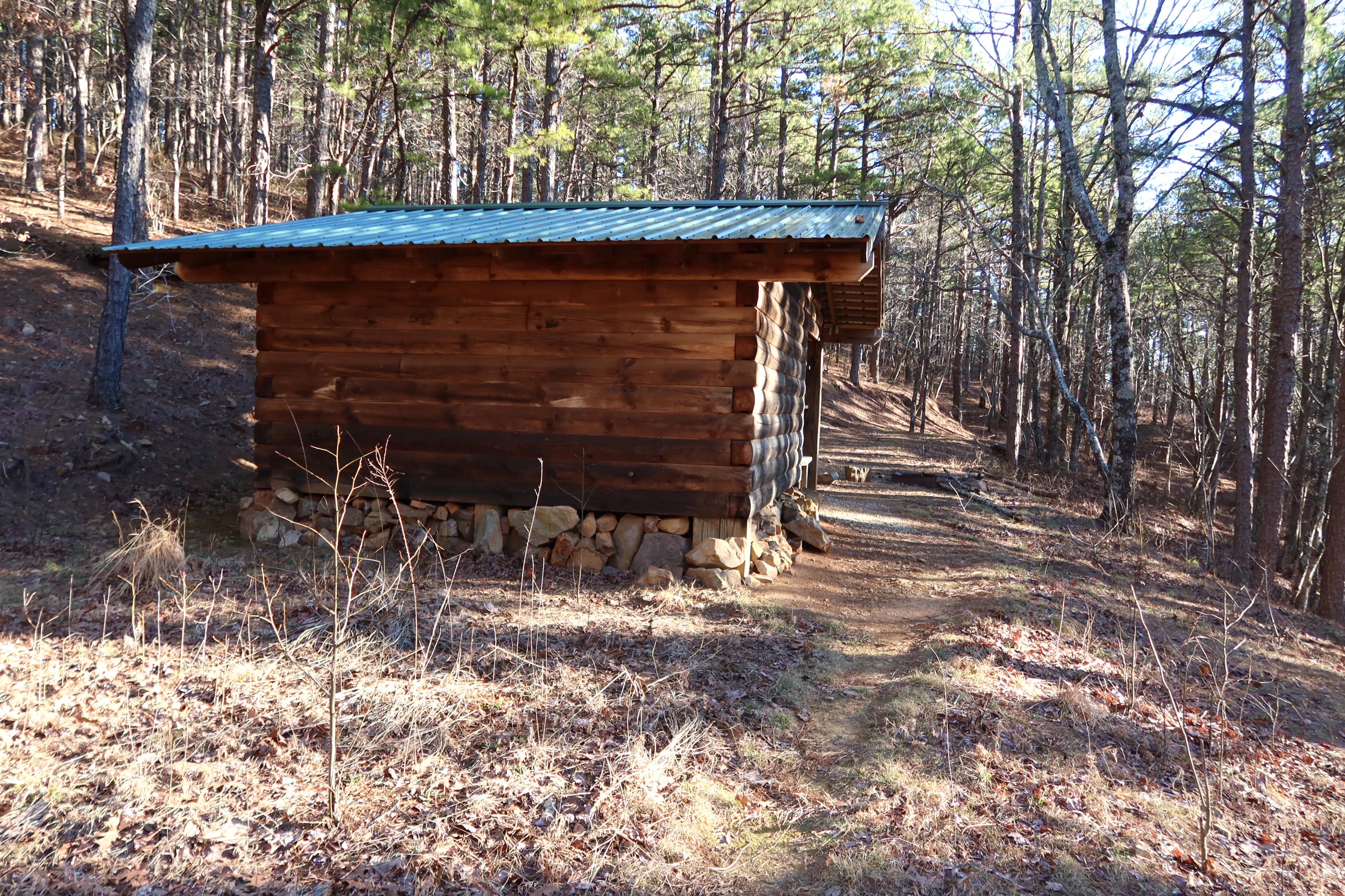
I hadn’t planned to use the shelters regularly, but the modest distance between and the reputation of a rugged Winding Stair Mountain led me to schedule the first 51 miles around their locations. The novelty of experiencing these shelters was also a factor. It turned out to be a good plan because miles were just right and allowed some exploring time upon arrival each afternoon.
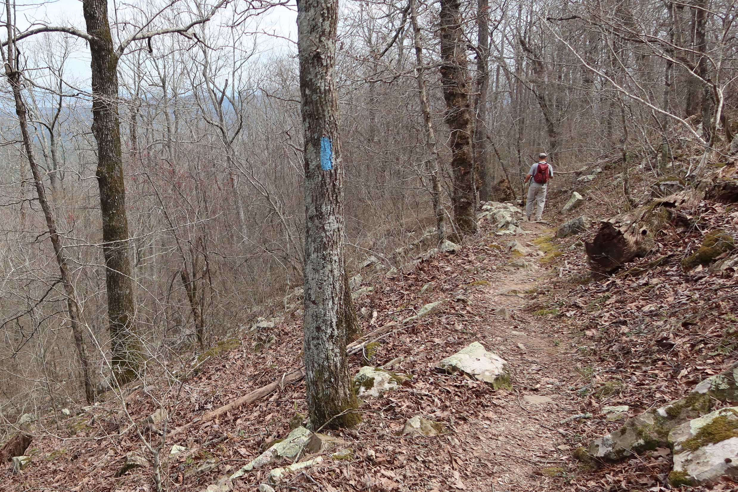
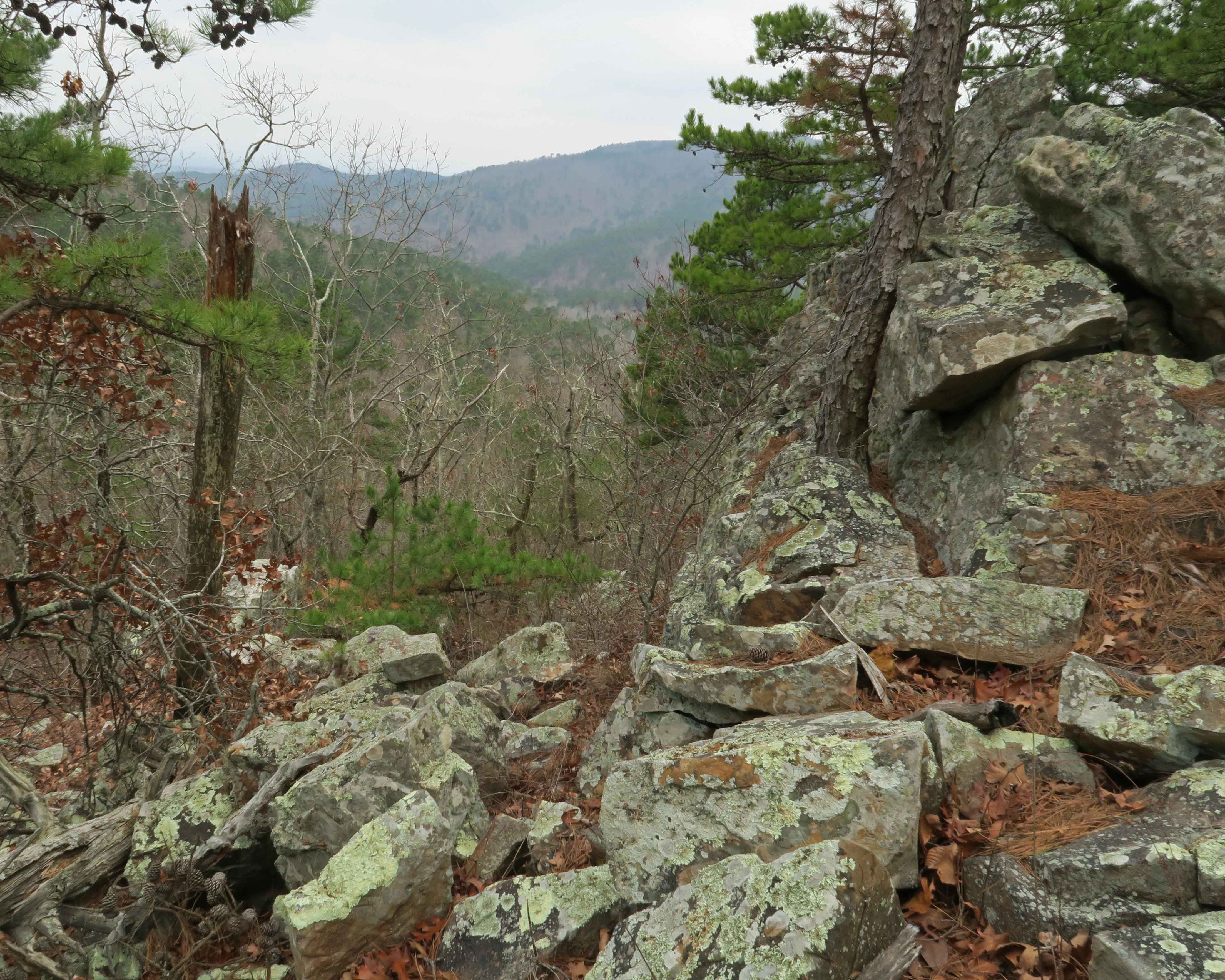
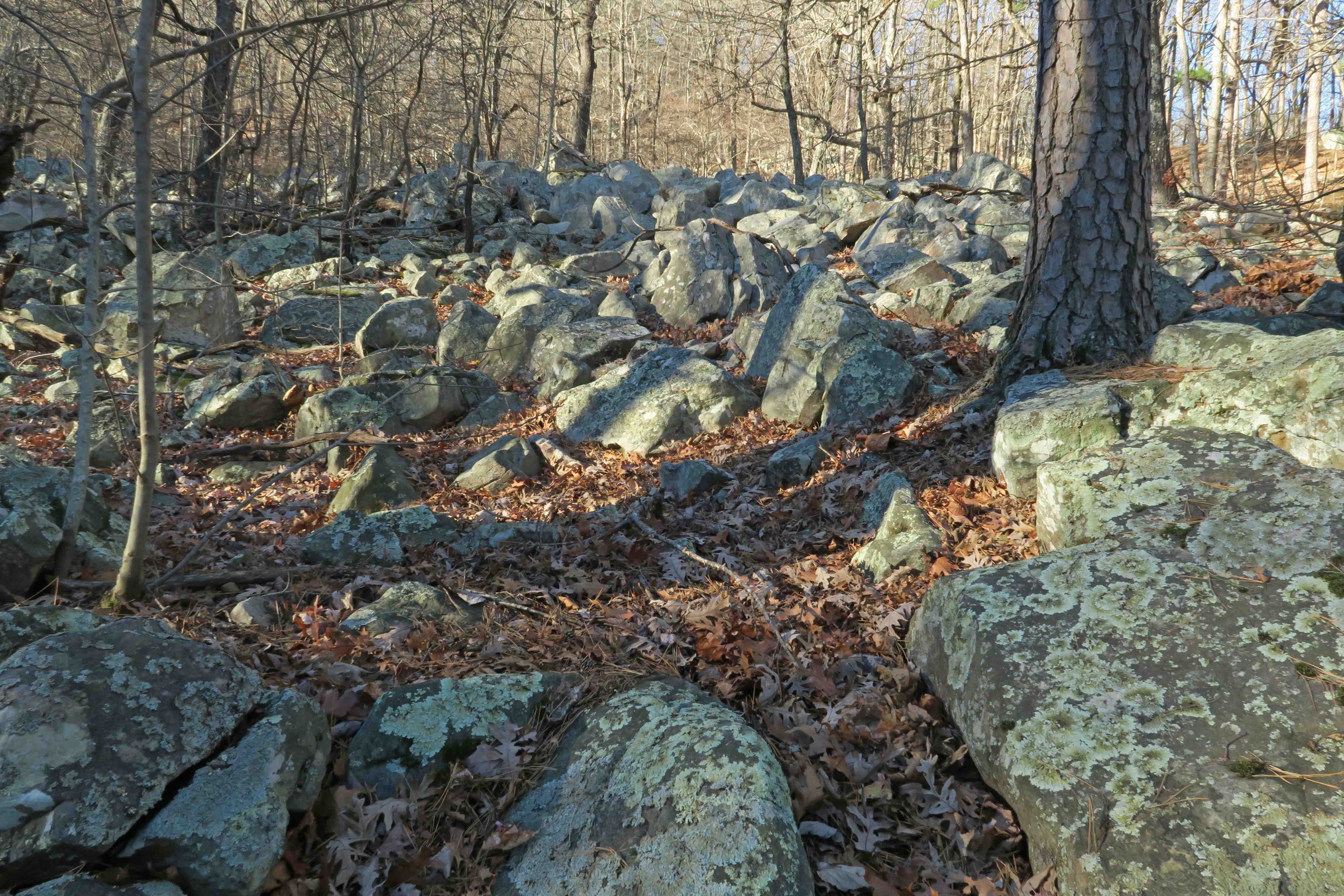 The Rock Garden Shelter got its name honestly. The next several miles involved careful stepping. We were impressed with how different the Ouachitas felt from the Ozarks. Part of it was the increased number of pine trees, but I think the foundations of the differences stemmed from geology. The Ouachitas were formed by the colliding of geological plates while the Ozarks developed from a volcanic uplift, both followed by many years of shaping from erosion.
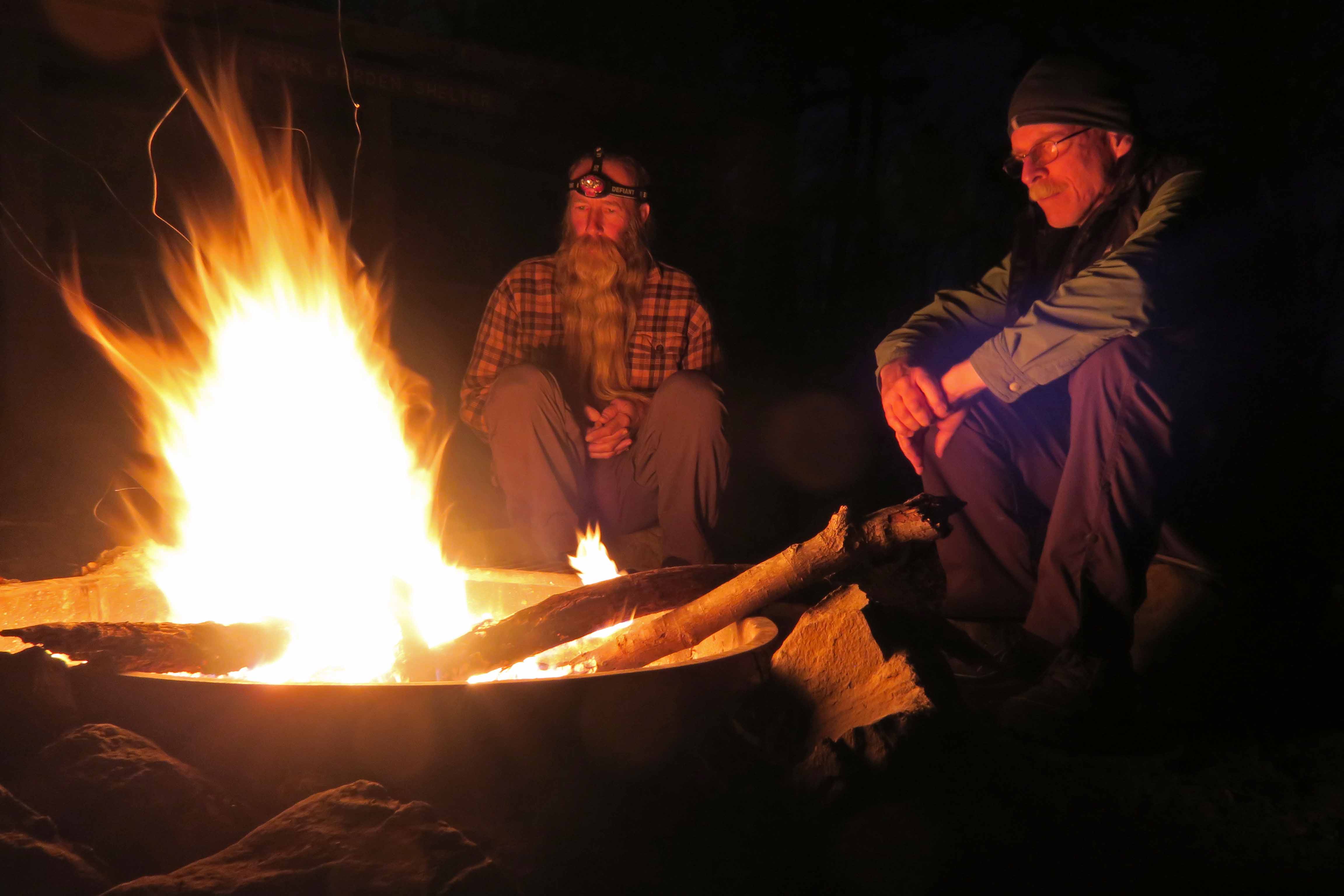
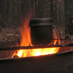
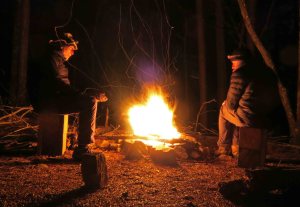
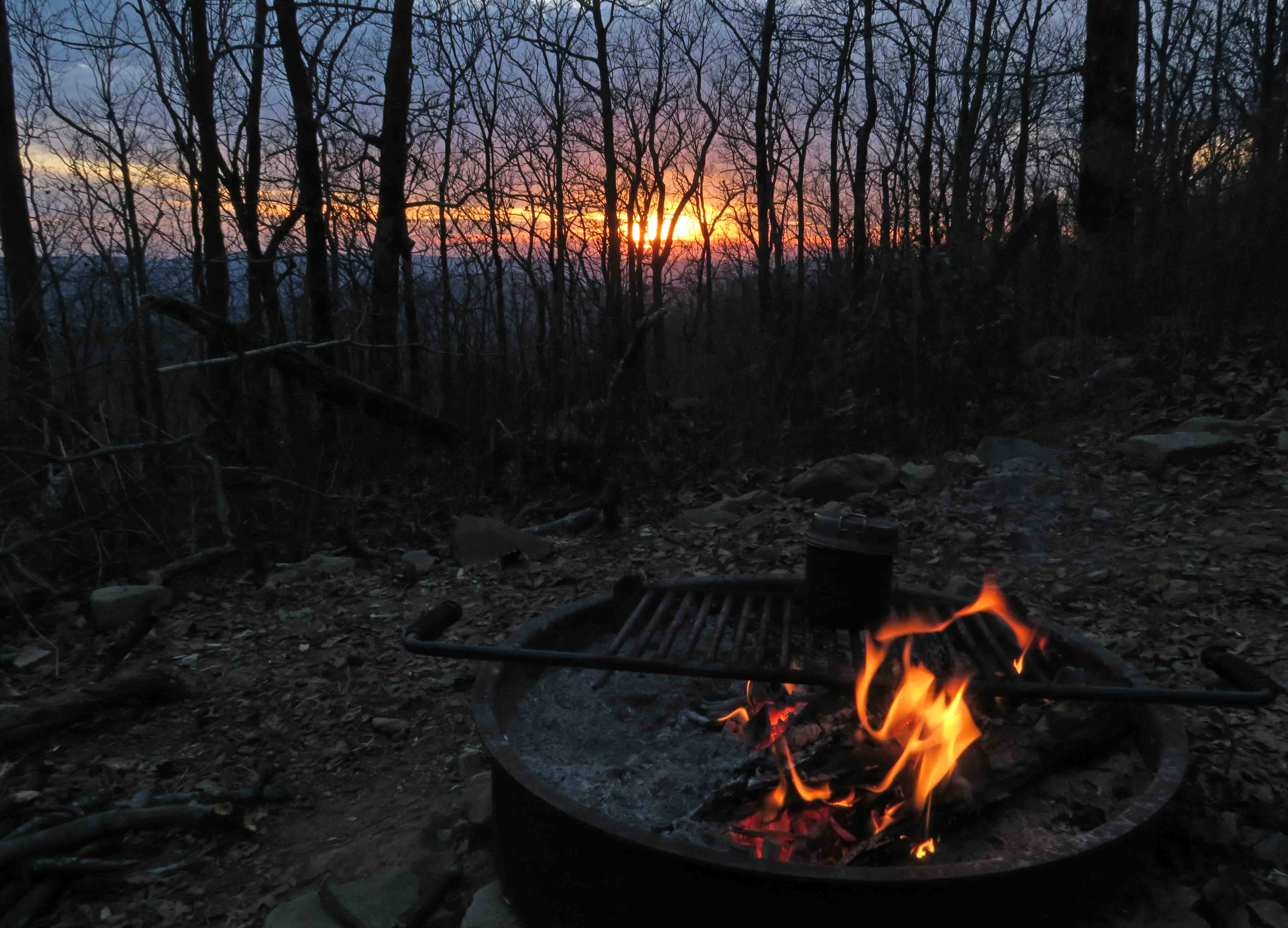
The shelters included a fire ring and picnic table, luxuries by our standards. The fire ring grill and plenty of dry wood made cooking easy. I used instant potatoes as a base for each dinner. The biggest challenge was getting those handles without burnt fingers.
On a couple of mornings, I used my fuel tab stove for oatmeal and coffee since no simmering was needed.
We arrived at the Holson Valley Shelter in the early afternoon and watched the view into Holson Valley as darkness fell. Beautiful coyote howls and owl calls filled the cool night.

We were puzzled by this lone rock structure a few yards from the trail. It appeared to be a smoker or grill, but there were no other indications of civilization in the area.

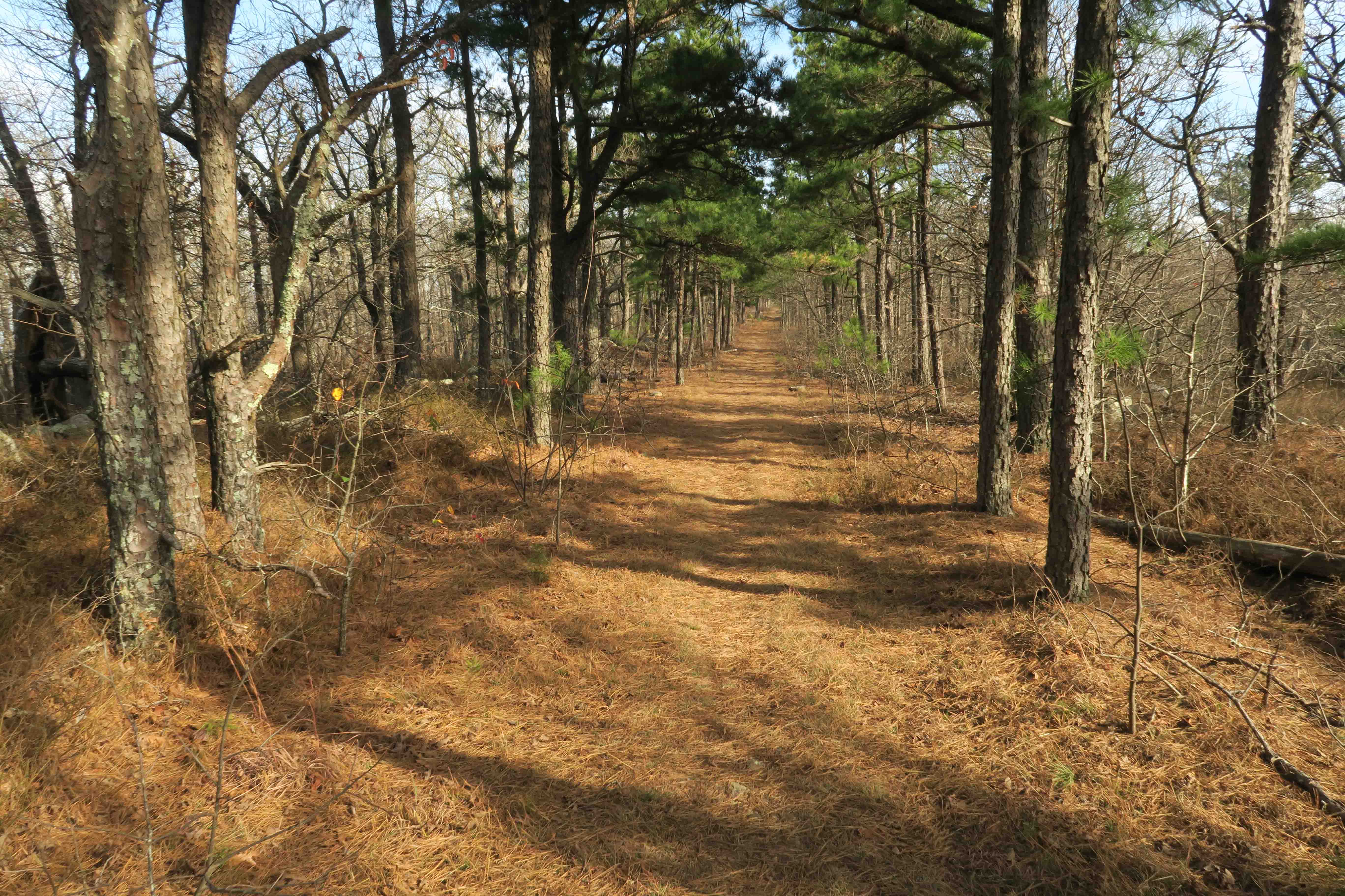
It was smooth sailing on this old abandoned roadbed leading up Winding Stairs Mountain toward the shelter by the same name, placed close to the footings from a now absent fire tower. We enjoyed reading through shelter journals. What follows is one of the more artistic entries from this mountain peak journal with a popular quote by Shanti Devi.

I woke during the night and could barely see the picnic table through the thick cloud that enveloped Winding Stair Mountain. The next morning we began our hike with soft lighting provided by a gently lifting fog.


Red Spring got its name honest. The red of iron tainted water puddled around the PVC pipe. A covered concrete cylinder captured the spring water that trickled steadily from the end of the pipe.

Rock gardens greeted us occasionally but less frequently than the miles earlier in the trail.

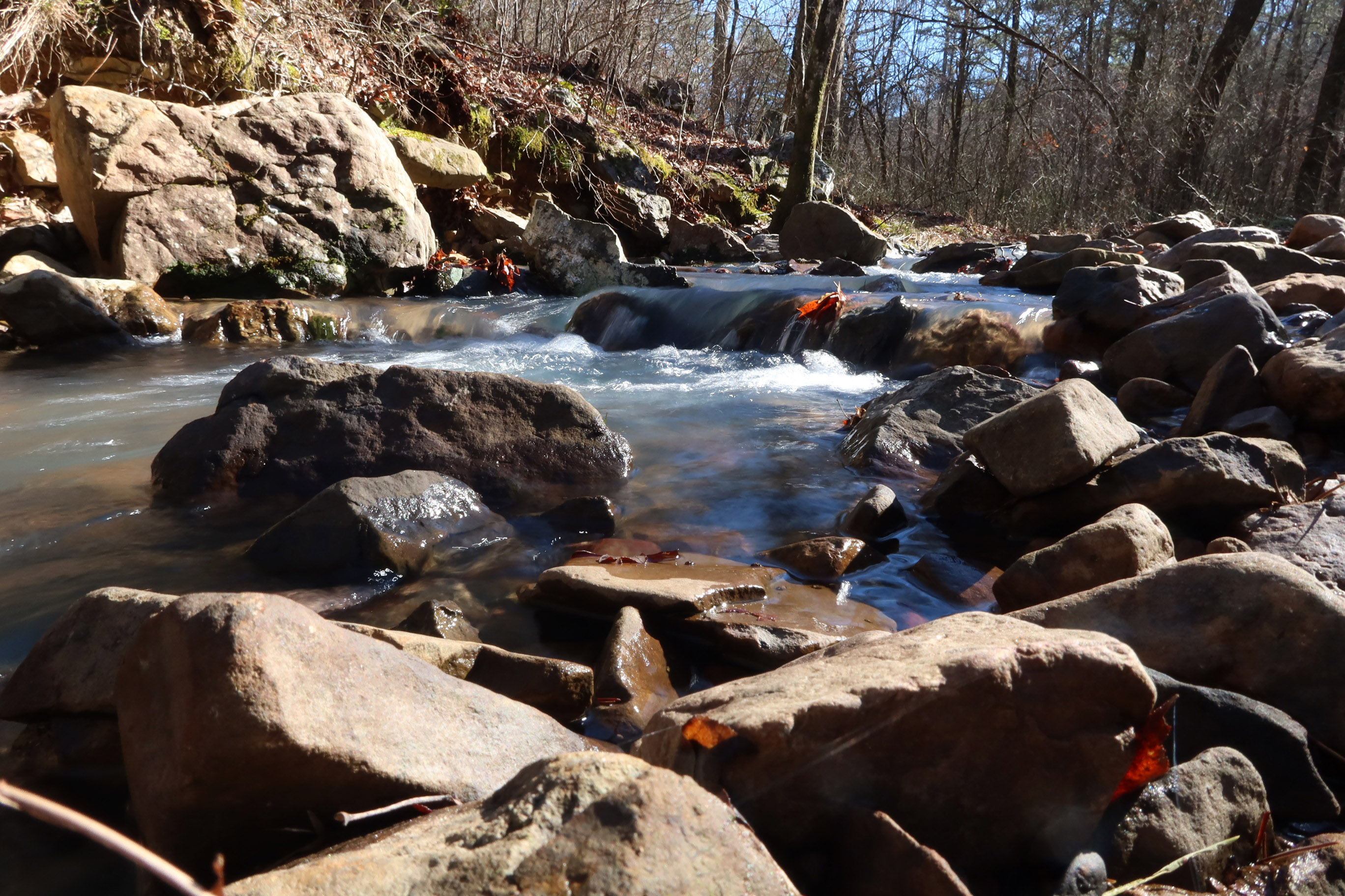
We scouted Big Cedar Creek before beginning our hike and determined that no water stash was needed. The water was clear and easily filtered. We filled all containers and enjoyed lunch next to this beautiful creek’s rocky shore.

Big Cedar Creek
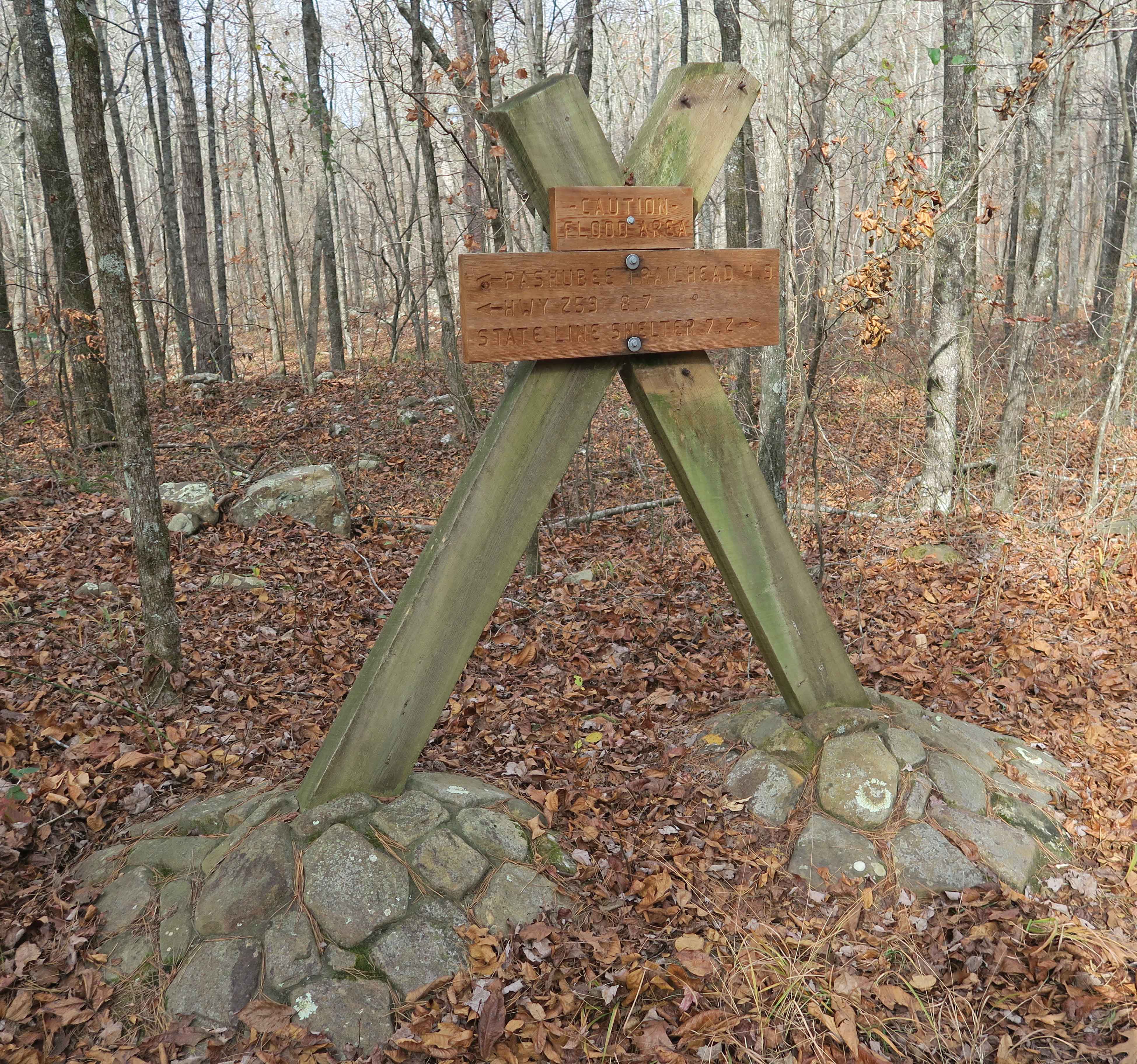
Both signage and maintenance are impressive on the Ouachita Trail. We saw signs at important junctions and examples of recent work to keep the trail clear of trees. Thank you FoOT (Friends of the Ouachita Trail). The stone footings for this sign appeared to have been there for many years.
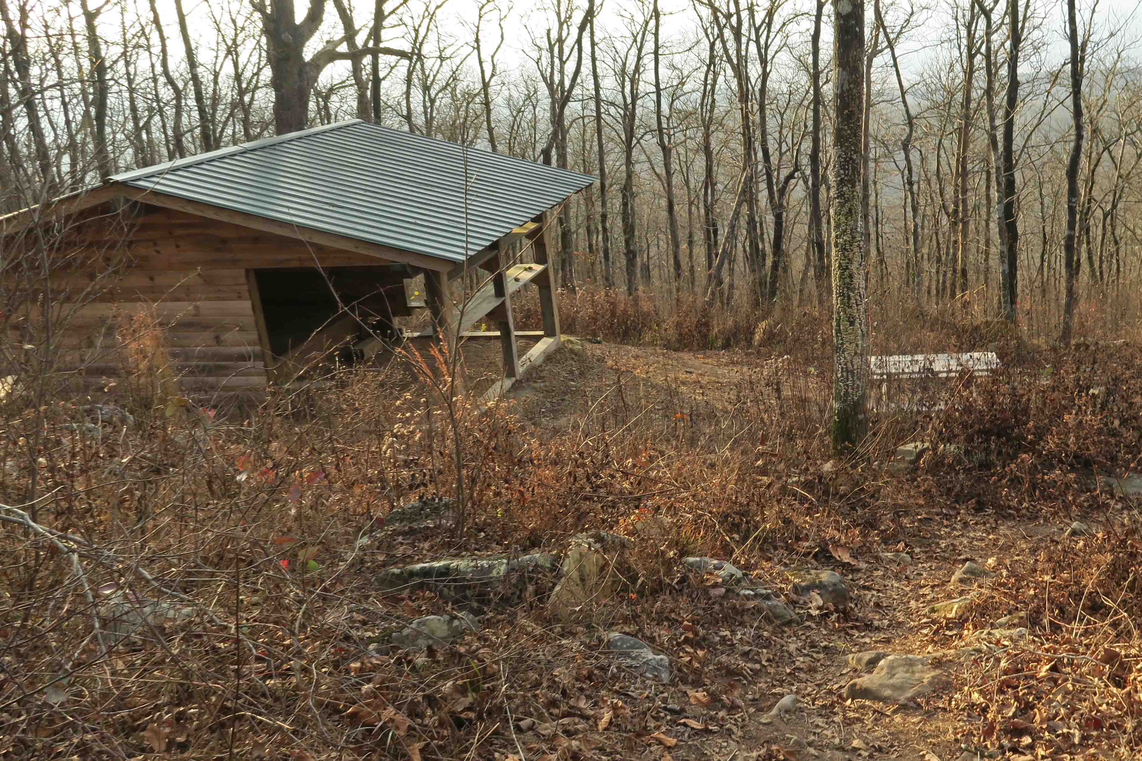
The State Line Shelter was perched just below the trail shortly after crossing into Arkansas. There was just enough space behind the shelter for Bob’s tent. Powerful winds blew through the night.
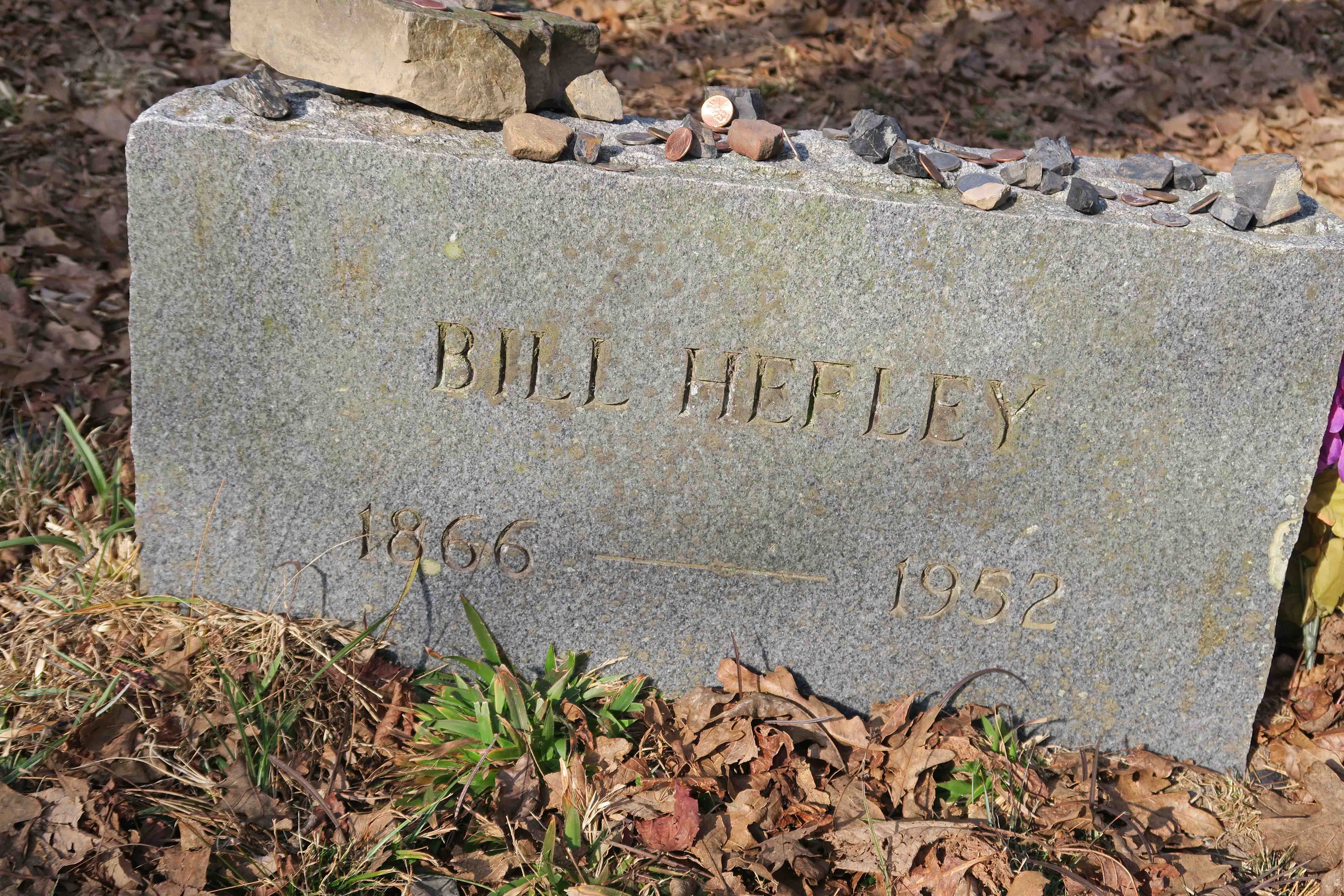
The next morning we enjoyed stopping at the Pioneer Cemetery. Bill Hefley’s stone was the only granite marker. All others were native stone with illegible lettering. We were interested in the coins and small rocks placed on many of the headstones. I later learned that it’s common for veterans to leave coins paying tribute to the deceased.
A sign at the entrance shares the legend that during the Civil War a young girl was collecting firewood for her family (other sources say water from a nearby spring). She never returned. Her frozen body was found in a tree where she sought refuge from wolves. It is said that her spirit continues to haunt Rich Mountain, evidenced by strange lights seen in the trees. I thought of the previous nights’ coyote howls and starlight peeking through stunted oaks on the high ridges of Rich Mountain. It’s easy to see how the story of haunting continues today.
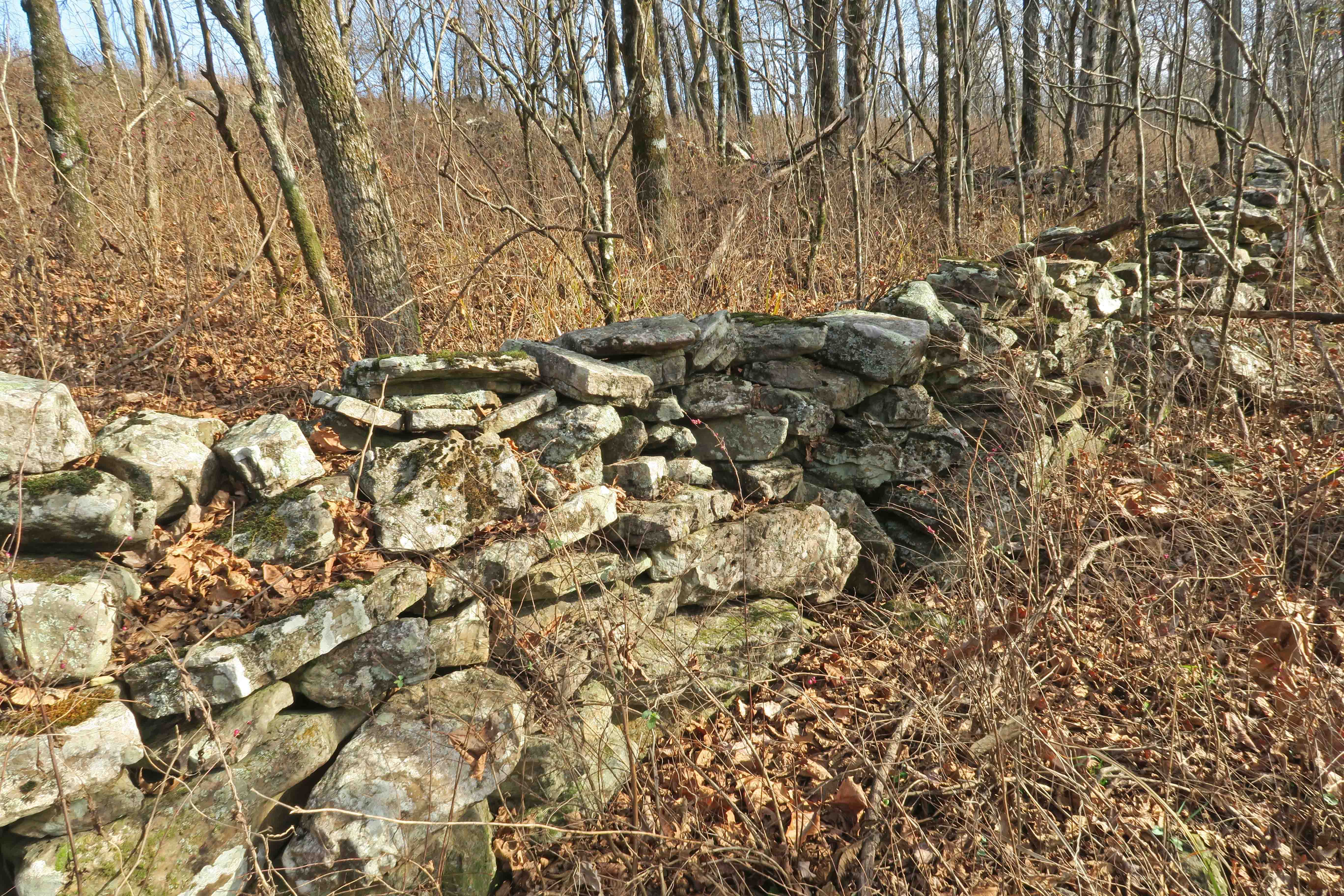
As we approached Queen Wilhelmina State Park, we passed several impressive rock walls on this fast level section of trail, hindered only by occasional green briers that arched across our path.
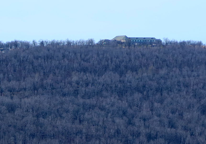
Walking through the campground at Queen Wilhelmina State Park with the Lodge uphill in the distance was a joy, knowing a high calorie meal was in our immediate future.

Queen Wilhelmina State Park Lodge
Our next steps will continue following the trail toward the east. This first dose of the Ouachita was a treat, so we’re looking forward more Ouachita Trail miles to come!
Links to other sections of this the Ouachita Trail project:
Ouachita Trail: Just Add Water
Ouachita Trail: Just Add Ice
Ouachita Trail Completed

An excerpt from Michael Reed’s map #13 east of Queen Wilhelmina State Park, our next section.