Why the Ozarks?

devils_den_yellow_rock03

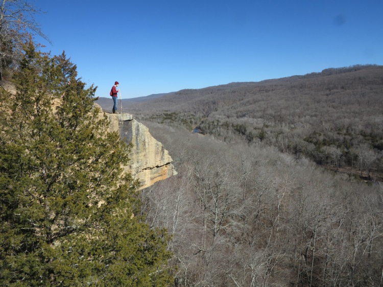
Yellow Rock Bluff, Arkansas

While selecting photos for a presentation to the Trailblazers of Fort Smith, I realized the Ozarks could hold their own following the High Sierras of California. The day of the program, photos transitioned smoothly from the John Muir Trail to the Ozarks and the audience appreciated the beauty and uniqueness of both regions without any “let down” as we moved into the Ozarks.

Why the Ozarks?

How about an extended hiking season and a variety of beauty? When mountainous regions around the United States are becoming impassable due to snow, the Ozark Mountains are beginning their long hiking season with a fall transformation to red and golden foliage.

IMG_3581rr

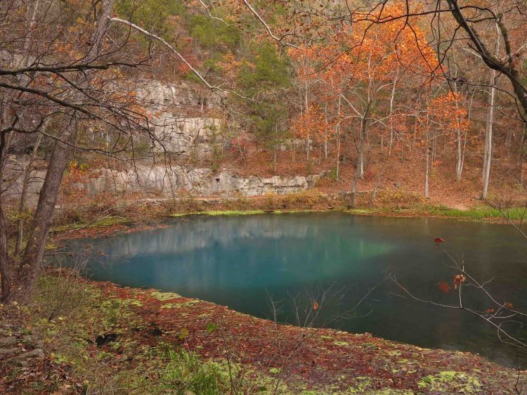
Alley Spring, Missouri

Lake Alma Sunset

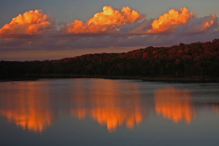
A fall sunset over Lake Alma in Arkansas

Fall leaves on rock

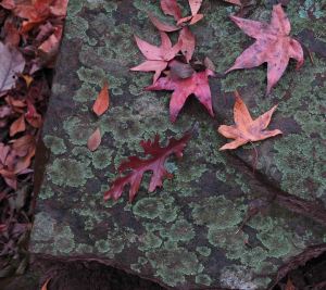
Fall color on sandstone

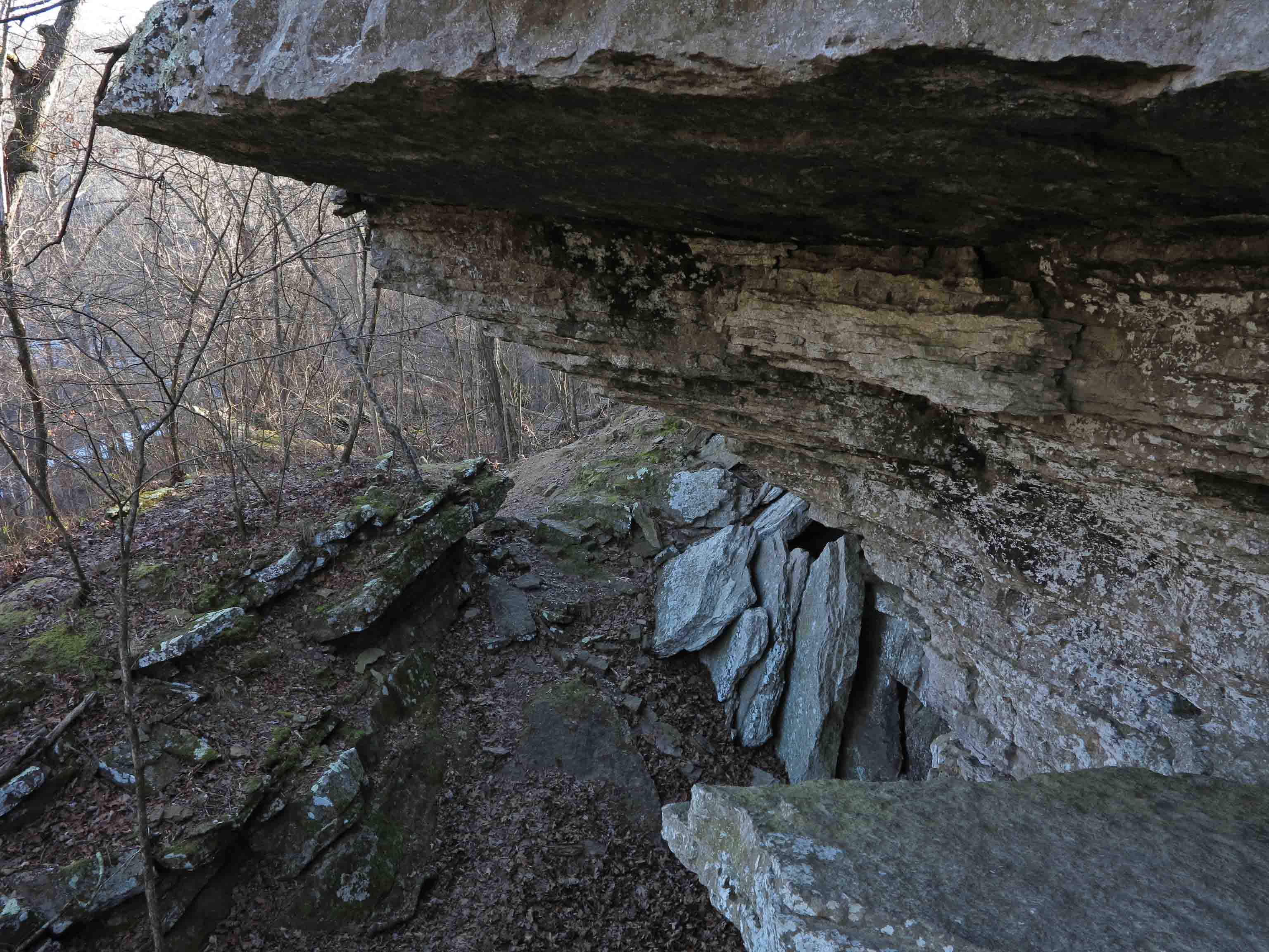
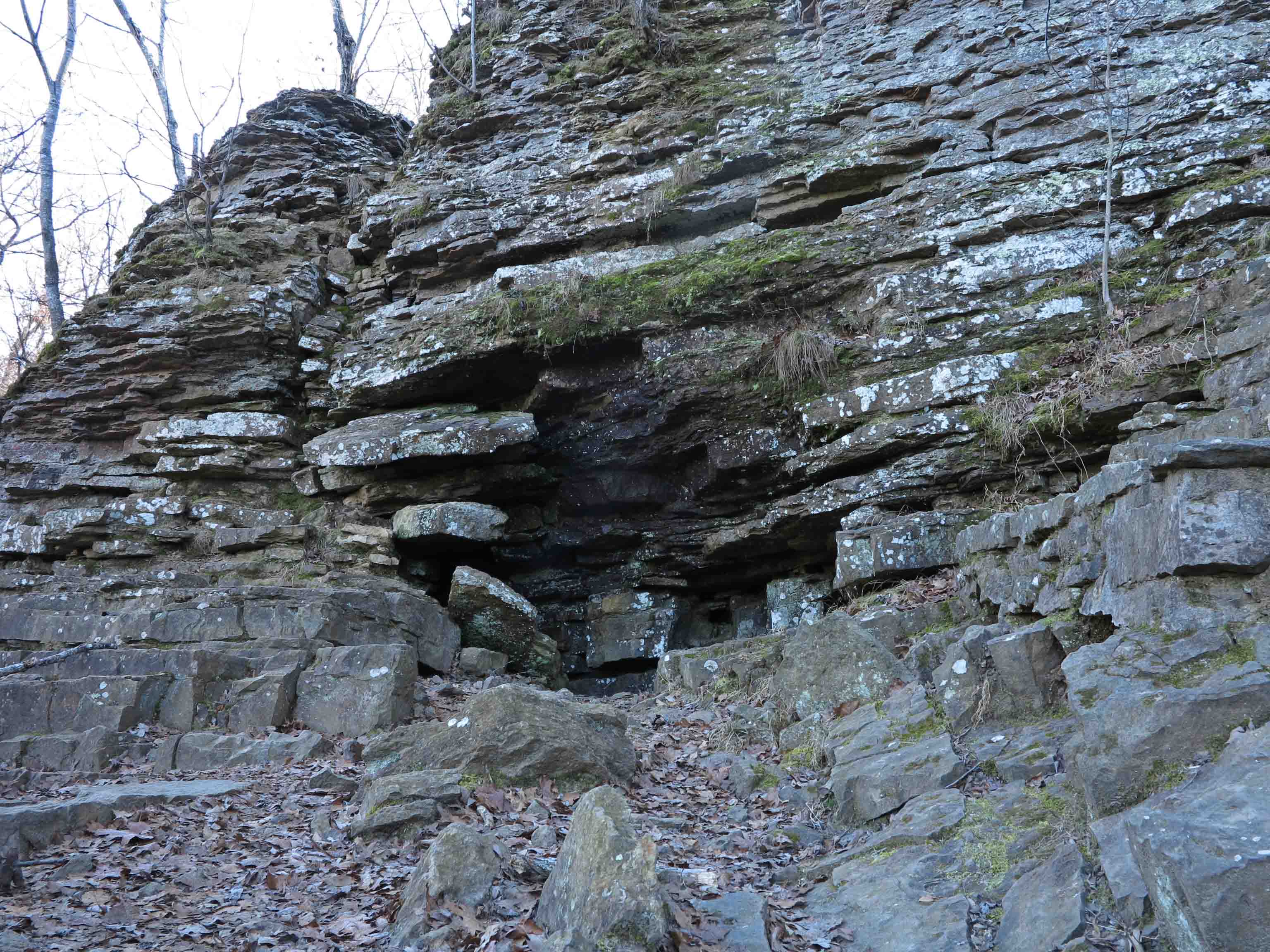
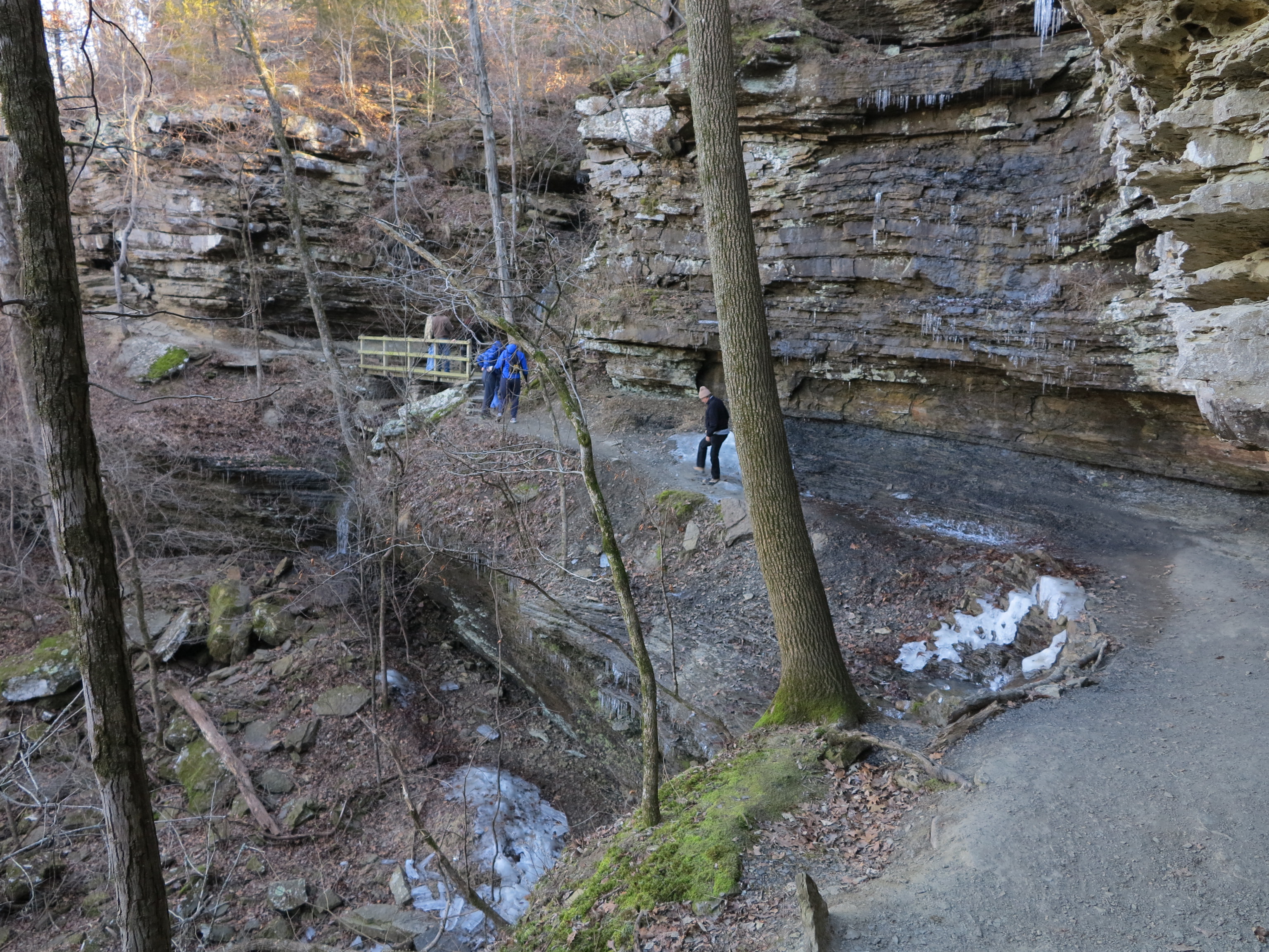
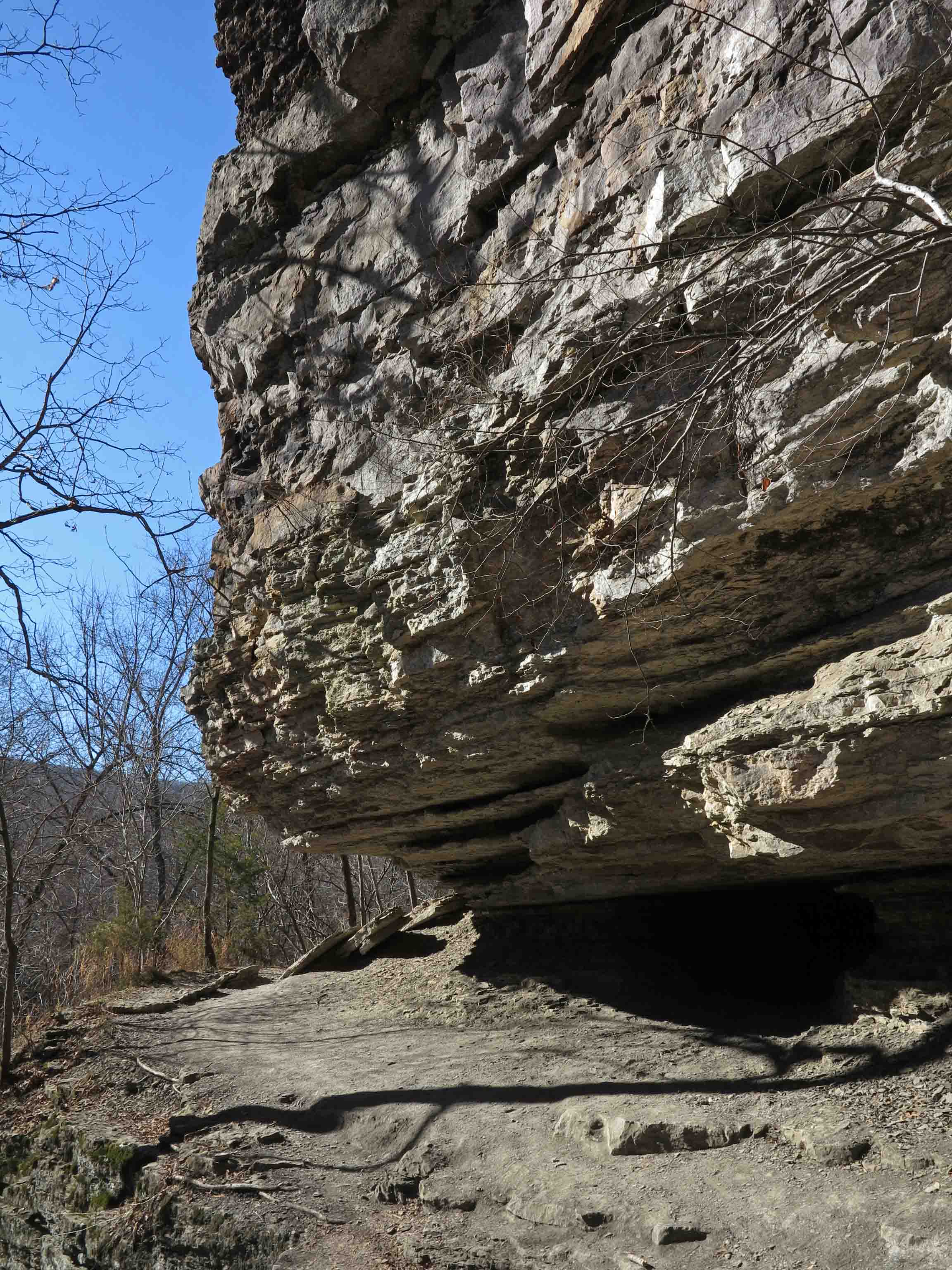
As winter approaches and leaves drop, majestic vistas and towering rock formations are revealed.

IMG_7117rr

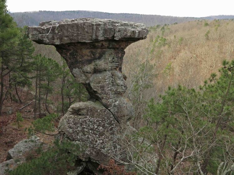
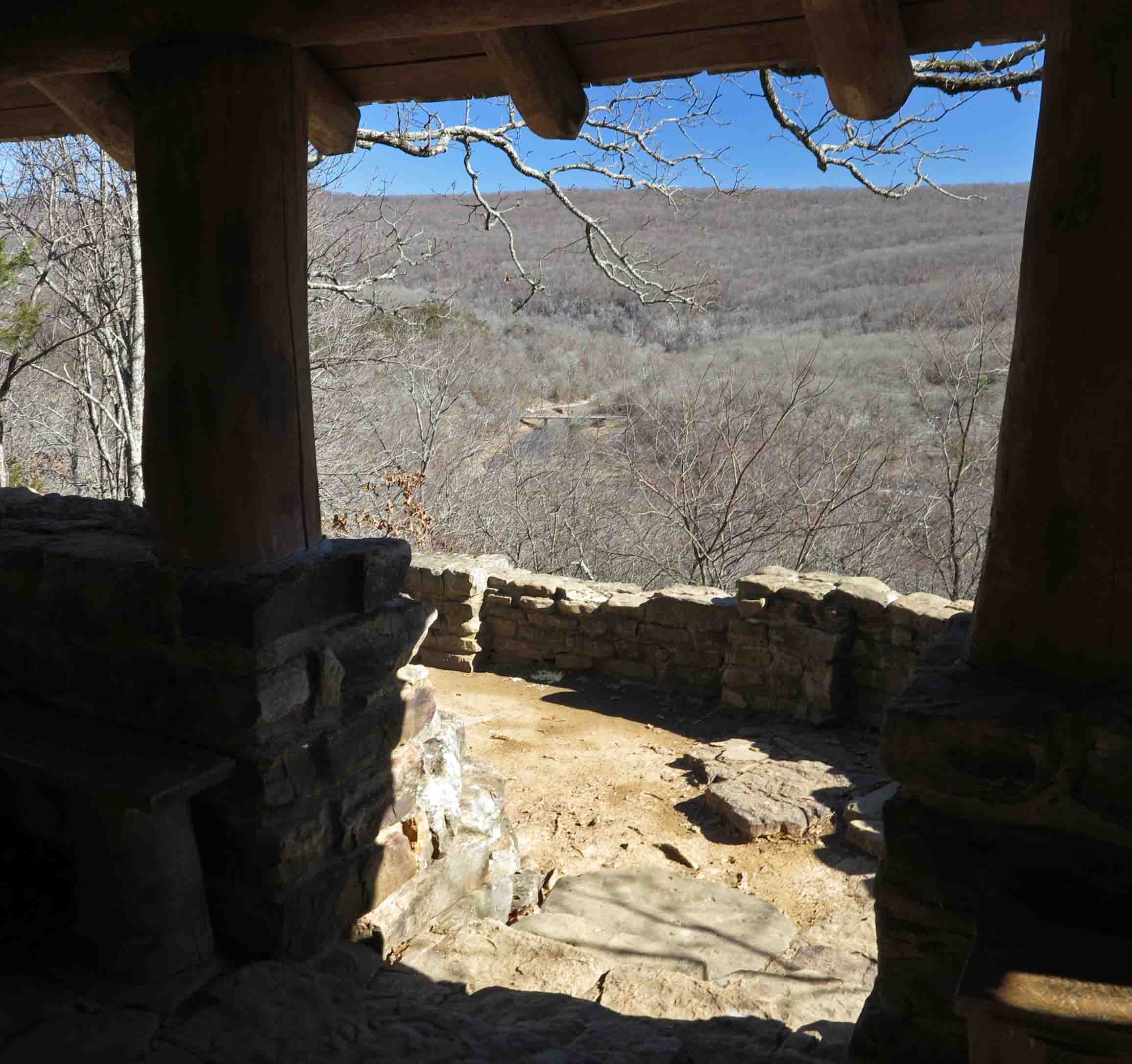
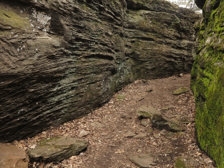
Pedestal Rocks Scenic Area, Arkansas
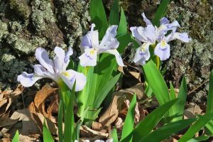
IMG_0108rr

wild iris

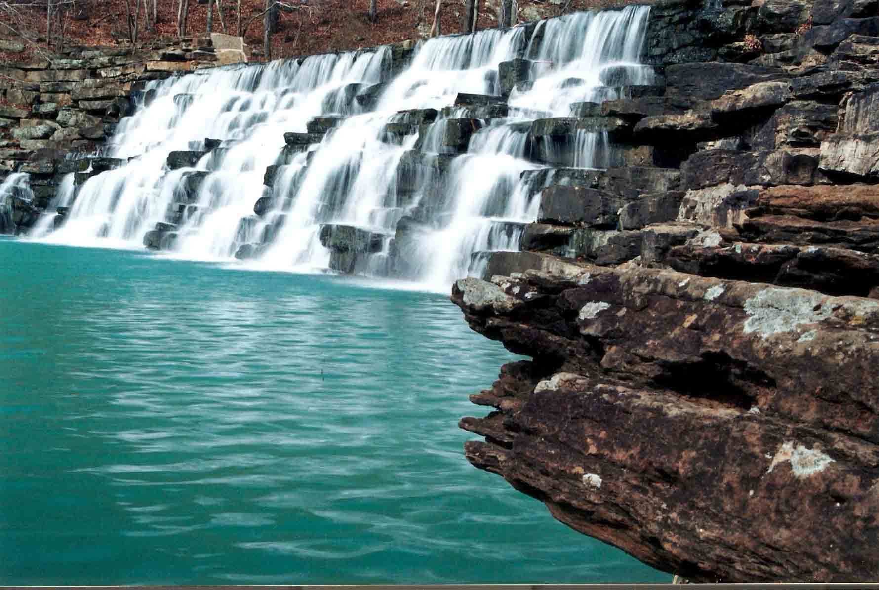
Seasonal rains bring beautiful waterfalls year round but especially in the spring when wildflowers sparkle throughout the region, especially in open glades and along steep hillsides.


IMG_5170rr

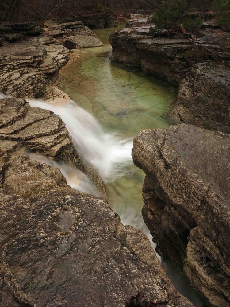
Long Creek Falls, Missouri

IMG_9675rr

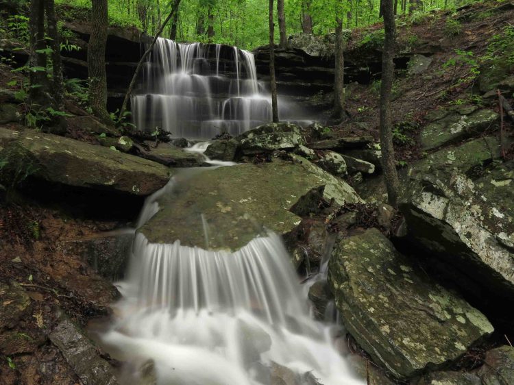
Shepherd Spring Waterfall at Lake Fort Smith State Park, Arkansas

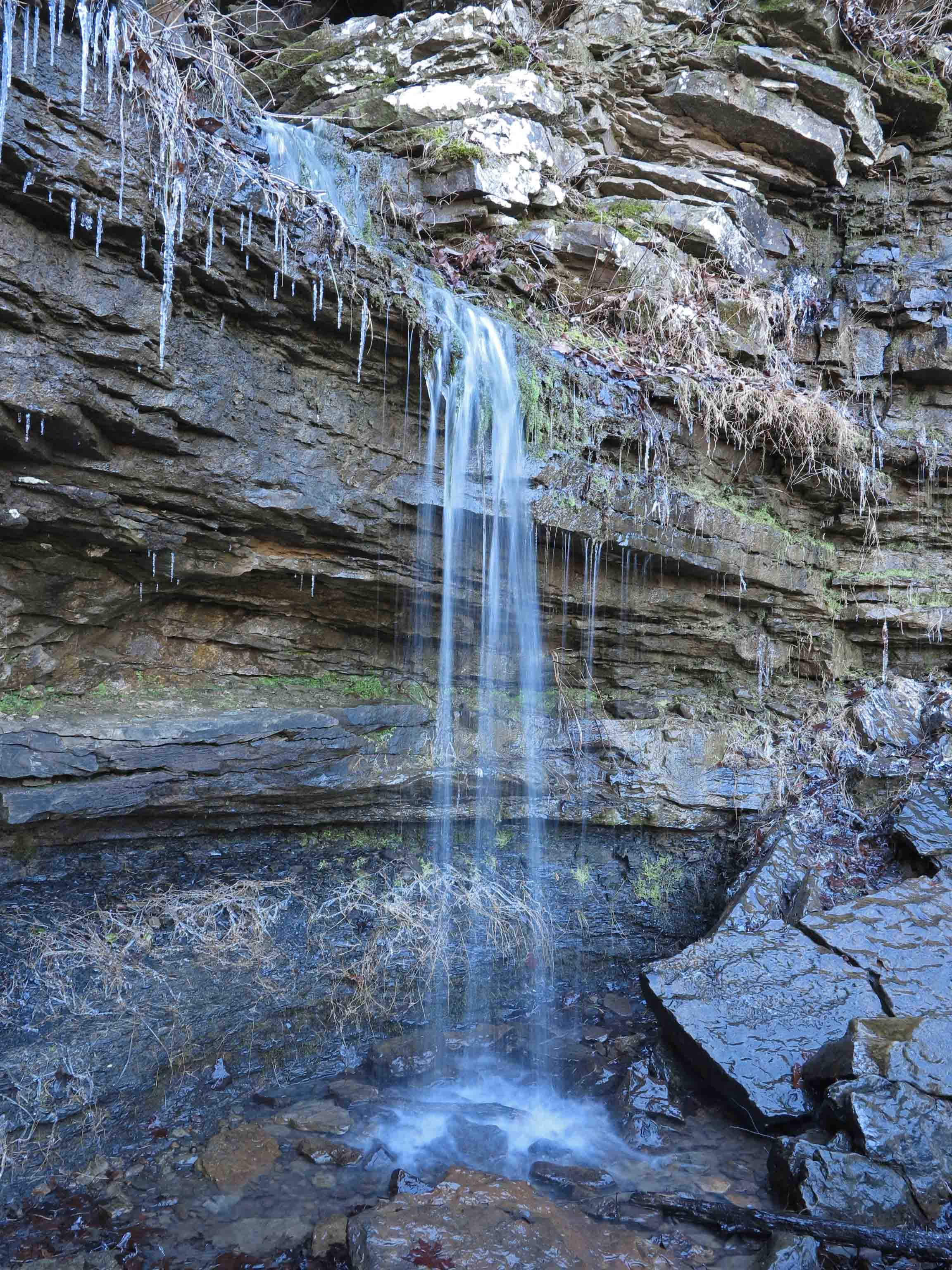
Natural springs flow year-round, often showing some of their most lovely character during the “off season” of winter. You’ll also find smaller crowds in the Ozarks during the winter months.

IMG_9534rr

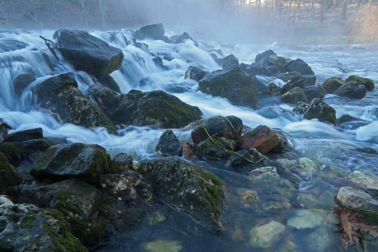
Cascade below Maramec Spring, Missouri

I’m often asked my favorite trail. My answer is, “The last trail I hiked.” While I do enjoy the larger than life bucket-list trails offered by California, Arizona, Colorado, New Mexico and Montana, I always look forward to returning to the Ozarks. They hold their own in comparison with landscapes anywhere in the United States. If you’re looking for scenic beauty, an extended hiking season and smaller crowds, explore the Ozarks!

IMG_5261rr

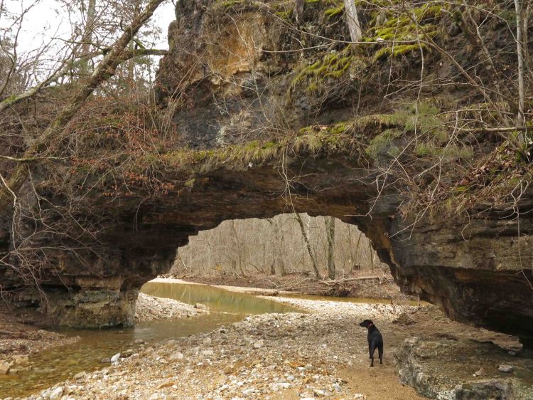
Clifty Creek Natural Arch, Missouri

mt_kessler_rock_city_spellbound04

Kessler Mountain Rock City, Arkansas

big-spring-1

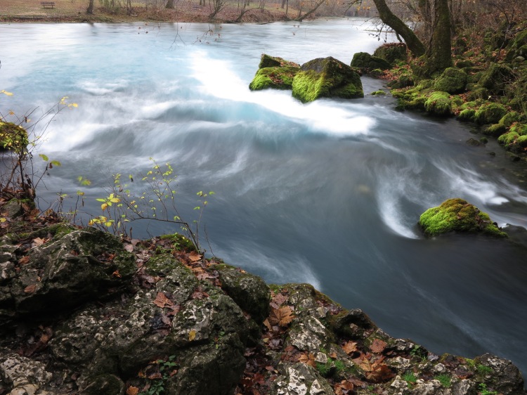
Big Spring, Missouri

IMG_4163rr

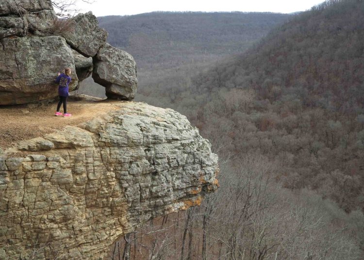
Young hiker taking in the views near Whitaker Point, Arkansas

IMG_9805rr

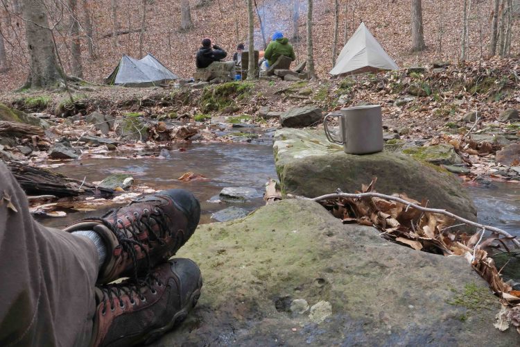
Early morning coffee in the Ozarks

5-Star Ozarks cover

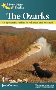
If you want to explore some of the trails pictured in this post, check out Five Star Trails: The Ozarks.

A Couple of Classic Arkansas Trails

IMG_4603rrThe first time Becca and I drove down the steep switchbacks into Devil’s Den State Park, it was after dark.  We’d driven all day from the southern part of the state to get to our campsite. We hadn’t been married long, so Becca probably wondered about her safety and her future. Years later we hiked these trails with our daughters. Now, more than thirty years after my first visit, I was driving down those switchbacks, looking forward to some familiar trails.

IMG_4605

Devil’s Den Trail

The Devil’s Den Trail is short but packed with sights.  Every one-tenth of a mile, there is another point of interest.  I saw, as if for the first time, the Devil’s Theater.  I’d walked past this several times in the past, but never looked closely. It was a much larger outcropping than I’d remembered.

Devil's Theater

Devil’s Theater

IMG_4623rr

Devil’s Cave

Devil’s Cave is closed to protect the bat population.  Several years ago, before the cave closed, I helped with a trash cleanup.  I’m sure the park rangers’ lives are simpler now.  They have no worries about trash or cave rescues.

IMG_4619rr

Steam can be seen exiting the cave entrance.

Spending a few minutes at the cave entrance reminded me of hikes with my daughters when they were younger.  We didn’t go far into the cave, but it was just the right amount of adventure for a family outing.

Anna and Christen on one of our visits to the cave.

Anna and Christen on one of our visits to the cave.

Shortly after the cave, the trail comes along side of intricate crevices that deserve respect.  Some of them are deep.

Some of the crevices next to the trail.

Some of the crevices next to the trail.

There are several examples of eroded bluffs where years of spinning water carved out bowl-shaped caves in the rock.  Some bluffs were spotted with many eroded places that looked like mini-caves.  This made me wonder what mysteries might be found beneath the surface of the rock.

Devil's Bowls

Devil’s Bowls

IMG_4646rr

The bluff, where the waterfall is located, was icy in spots.  Spots where you wouldn’t want to fall!

Icy bluff

Icy bluff

After the short Devil’s Den Trail, it was time for the second classic hike, Yellow Rock. The trail goes right around the base of this tall bluff. On the hillside below you could see evidence of hikers taking shortcuts across switchbacks damaging the trail. I noticed a few young guys walking around down there and asked, “Have you lost the trail, or are you just trying to tear up the hillside.” They looked startled and got back on the trail. They probably thought I was a teacher, school principal, or something like that.

Yellow Rock Trail

Yellow Rock Trail

It is one mile to Yellow Rock Bluff. I spent some time there and was glad this young man stopped on a crag close by so I would have someone to add perspective to the view.

View from Yellow Rock down into the Lee Creek drainage.

View from Yellow Rock down into the Lee Creek drainage.

The Yellow Rock Trail goes up to the Overlook Shelter, built by the CCC in 1934. They built it right! If you look closely, you can see the bridge in the valley. Just down the road to the left of the bridge is the Yellow Rock Trailhead. We’ve covered a little distance.

View from the Overlook Shelter

View from the Overlook Shelter

I spent some time at the shelter, then headed down the trail, thankful for the memories tied to these two classic treks.

Devil's Den Dam around 2002.

Devil’s Den Dam around 2002.