Vacant cabins at the old Lake Fort Smith turnoff in Mountainburg.
Part of the pleasure of hiking is the drive to the trailhead. Here are just a few of my favorite places along side of Ozark roads. I drive through Mountainburg in route to many trailheads, but only recently noticed these little cabins. They are a short distance off of AR 71 at the turnoff that led to the original Lake Fort Smith State Park, closed in 2002 when the lake was expanded.

Dairy Dream in Mountainburg.
The Dairy Dream is on the east side of AR 71 in Mountainburg. I noticed their “Mountainburger” is priced at $2.50 according to the menu in the window. The Dairy Dream was closed for the winter. I’ve never stopped there but hope to try the Mountainburger someday.
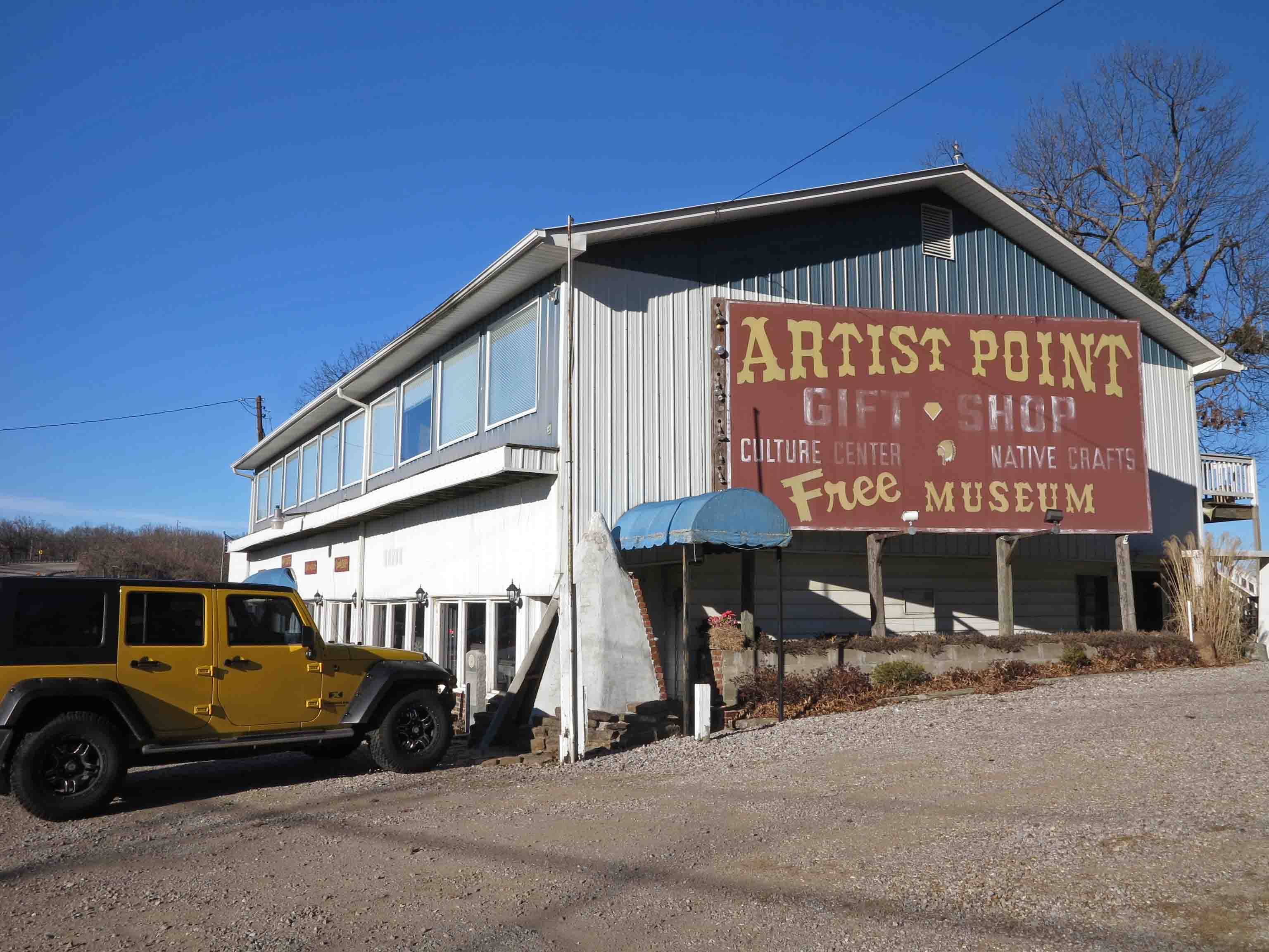
Artist Point on AR 71
Artist Point, north of Mountainburg, is one of my favorite places on AR 71. In 2001, when we were thinking about moving to Alma, we stopped in at Artist Point. A helpful young lady was working behind the counter as her grandparents looked on. I asked where she attended school, and she said, “Alma.” Both she and her younger brother were my students, and I enjoyed watching them grow up.
I became friends with Mr. and Mrs. Blaylock, owners of Artist Point. There was a steep trail behind the store. Mr. Blaylock wasn’t able to hike the trail down to the waterfall anymore, but enjoyed hearing reports and seeing photos of the area. Sadly, Mr. Blaylock has been gone for several years, but his store remains and is definitely worth a stop if you’re in the area.

Abandoned house on Highway 23
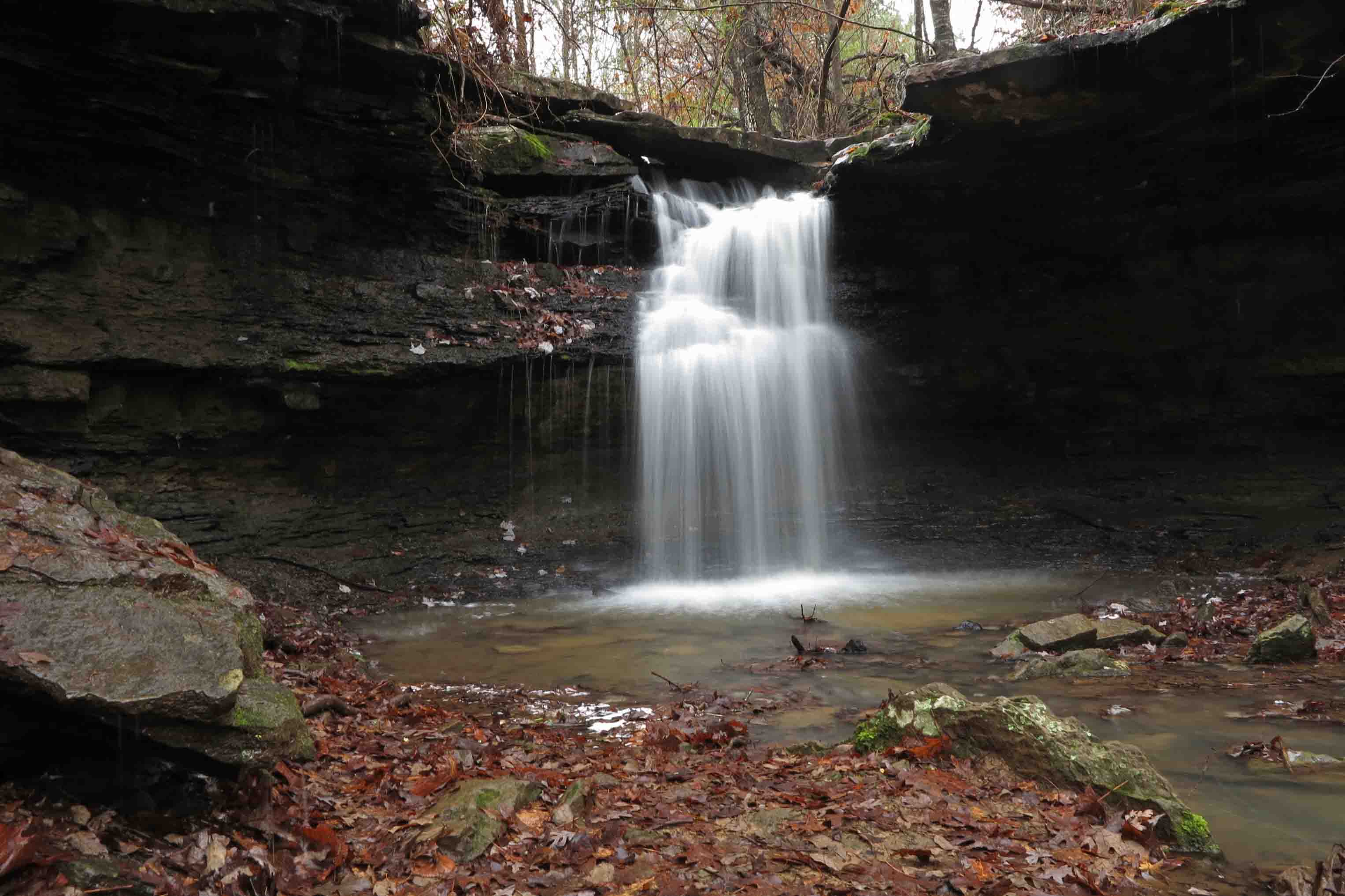
Old structures along the roads sometimes demand that my Jeep hit the shoulder. Even though I’m rushing to the trail, I’ll pull out the camera for a few pics.
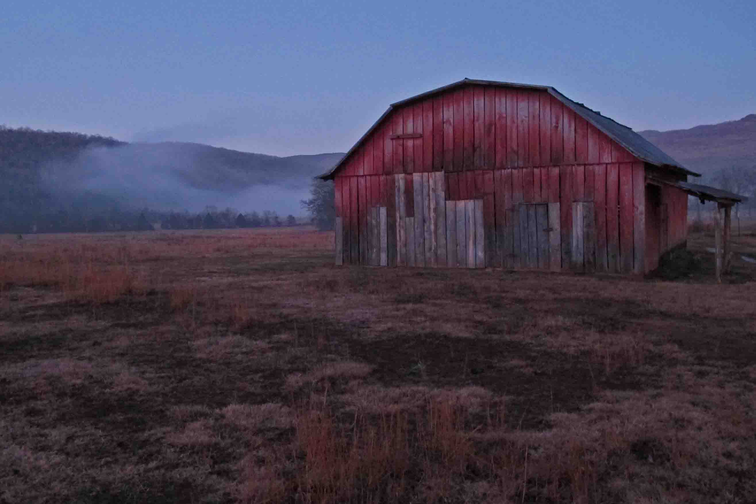
Barn on Highway 23
Sometimes food is the motivator. Such is the case with the Turner Bend Store, located on Highway 23 close to Cass. Great sandwiches and good people! Stopping there is always a treat!
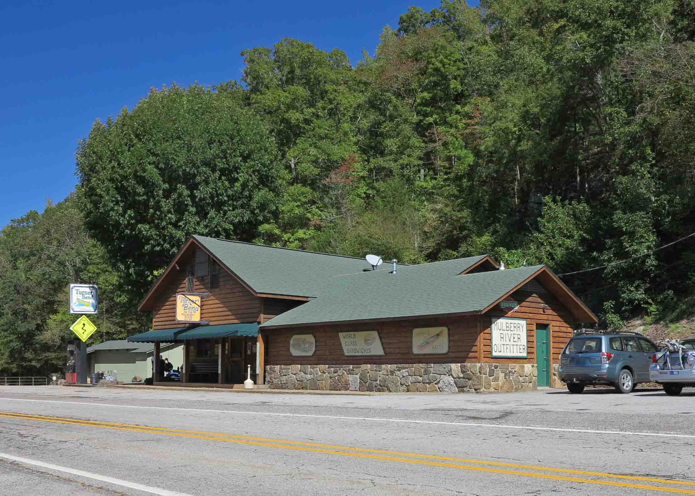
Turner Bend Store
The Oark General Store serves up a good breakfast, lunch, and dinner. They are known for being Arkansas’ oldest continuously open restaurant. A necessary stop if you’re hitting the western part of the Ozark Highlands Trail. It’s a short drive from Arbaugh Trailhead.

Oark General Store

Oark General Store
The Hagarville Country Store on Highway 215 north of Clarksville is a great little stop. The owner also runs shuttles for hikers when needed and usually has some good trail stories to share.

Hagarville Country Store

Hankins Country Store
Another favorite stop on the road to the trails is Hankins Country Store, located at the intersection of AR Scenic Highway 7 and AR 215. An old post office and several interesting old items are inside. There’s even a barber’s chair that is used from time to time if someone needs a haircut. The wood burning stove feels great after a winter hike through the Hurricane Wilderness Area. They make a good sandwich….especially good after a hike.

Pelsor Post Office inside the Hankins Country Store
If you’re up in the Buffalo River region, a stop in at the Ozark Cafe is a must. Lots of good food and history!
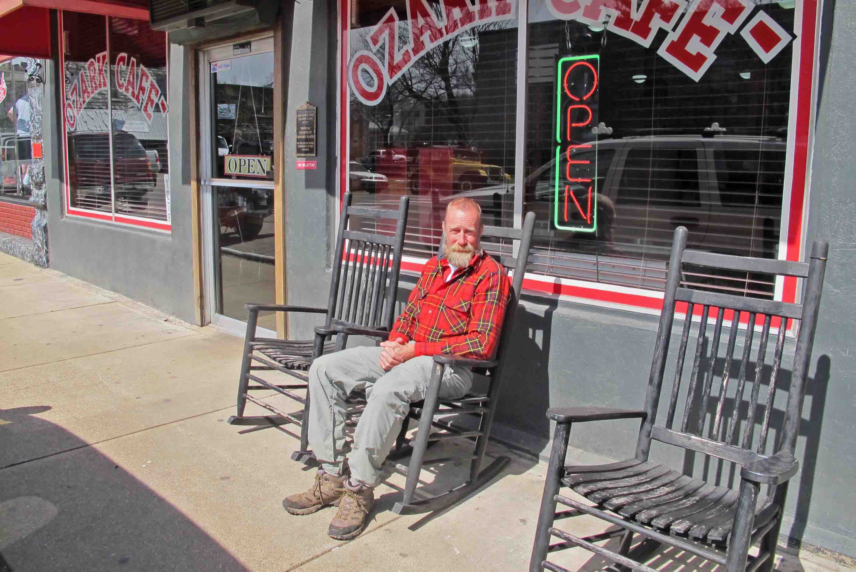
Ozark Cafe in Jasper

The Arkansas House Cafe
Another great place to eat in Jasper is the Arkansas House Cafe, connected to the Arkansas House, an old, but clean establishment. The Elk Chili was a treat!

Buffalo Outdoor Center
The Buffalo Outdoor Center is a long-established business that began when Mike Mills started running river shuttles about forty years ago. The staff loves to talk trails, and they give good directions to some beautiful spots close by. They also have good food, books, and run shuttles. I’ve used them several times to shuttle my Jeep over to Highway 7 when I hike the Buffalo River Trail.


Inside the Buffalo Outdoor Center
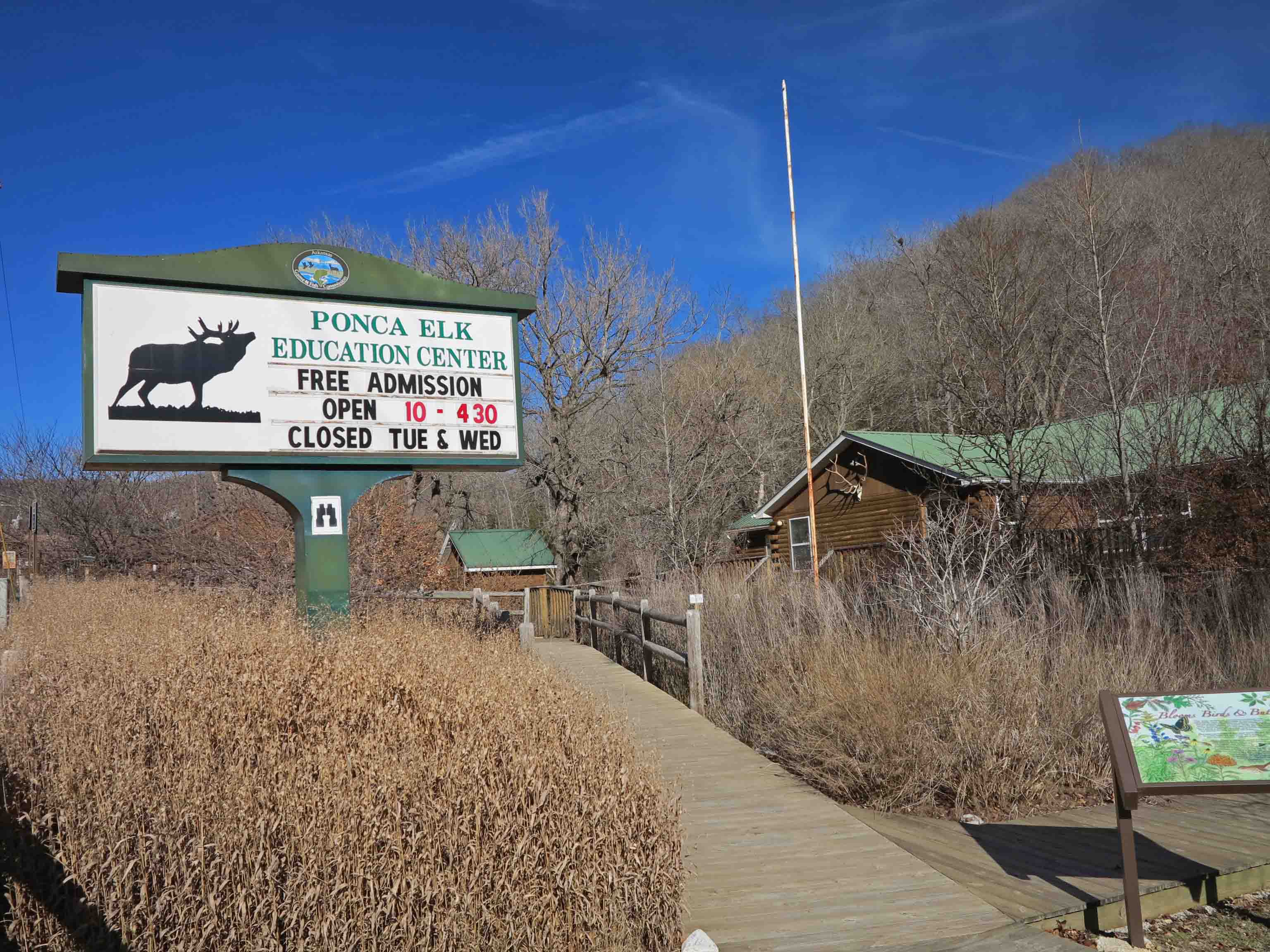
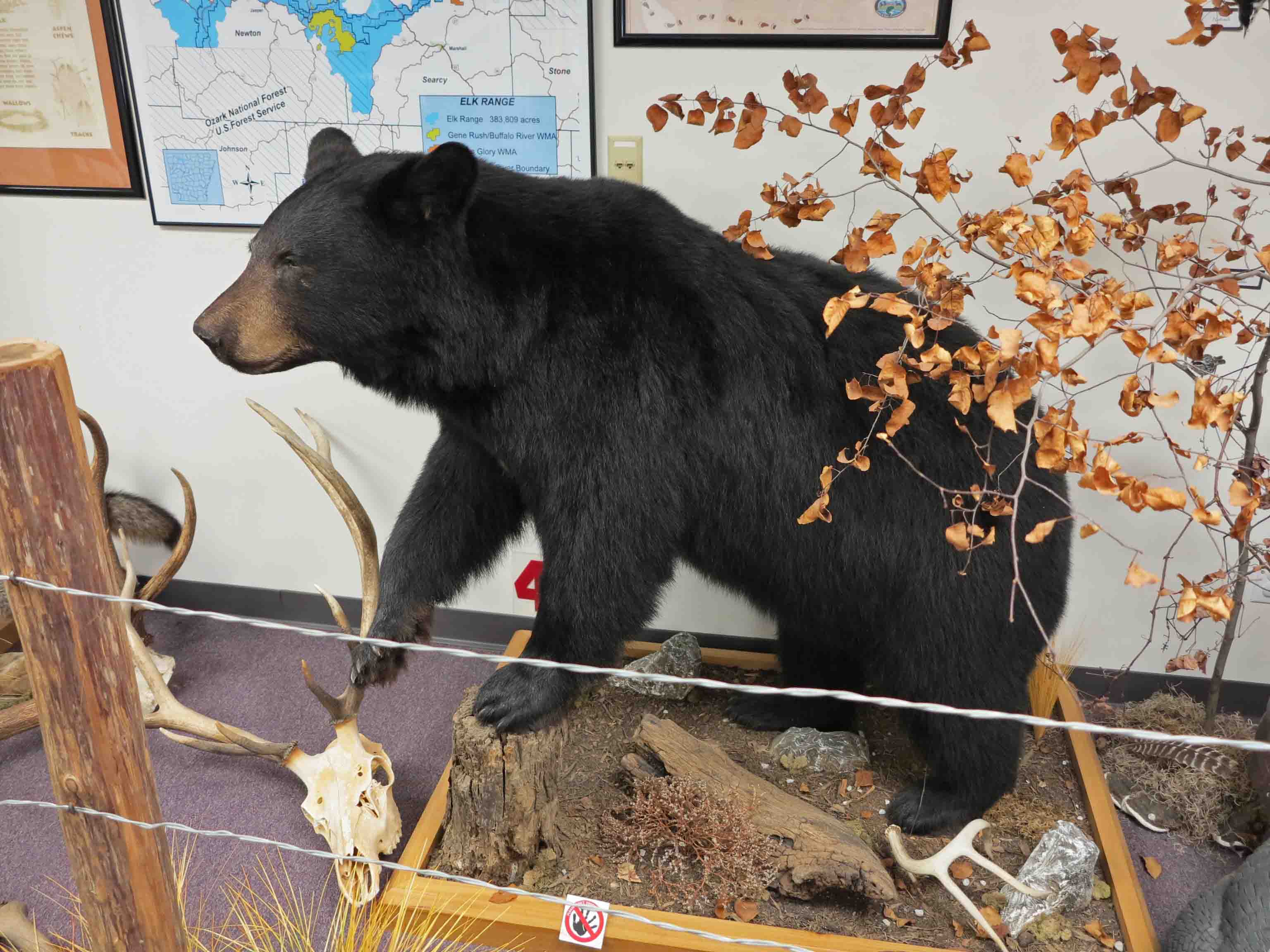
Across the street from the Buffalo Outdoor Center, you’ll find the Ponca Elk Education Center. This is a great place for all ages. I enjoyed spending a little time looking at the nature displays inside.
The closest I’ve come to an Arkansas Black Bear.
Display at the Elk Education Center
The Boxley Baptist Church is a highlight just a few minutes from Ponca.

Boxley Valley, Arkansas
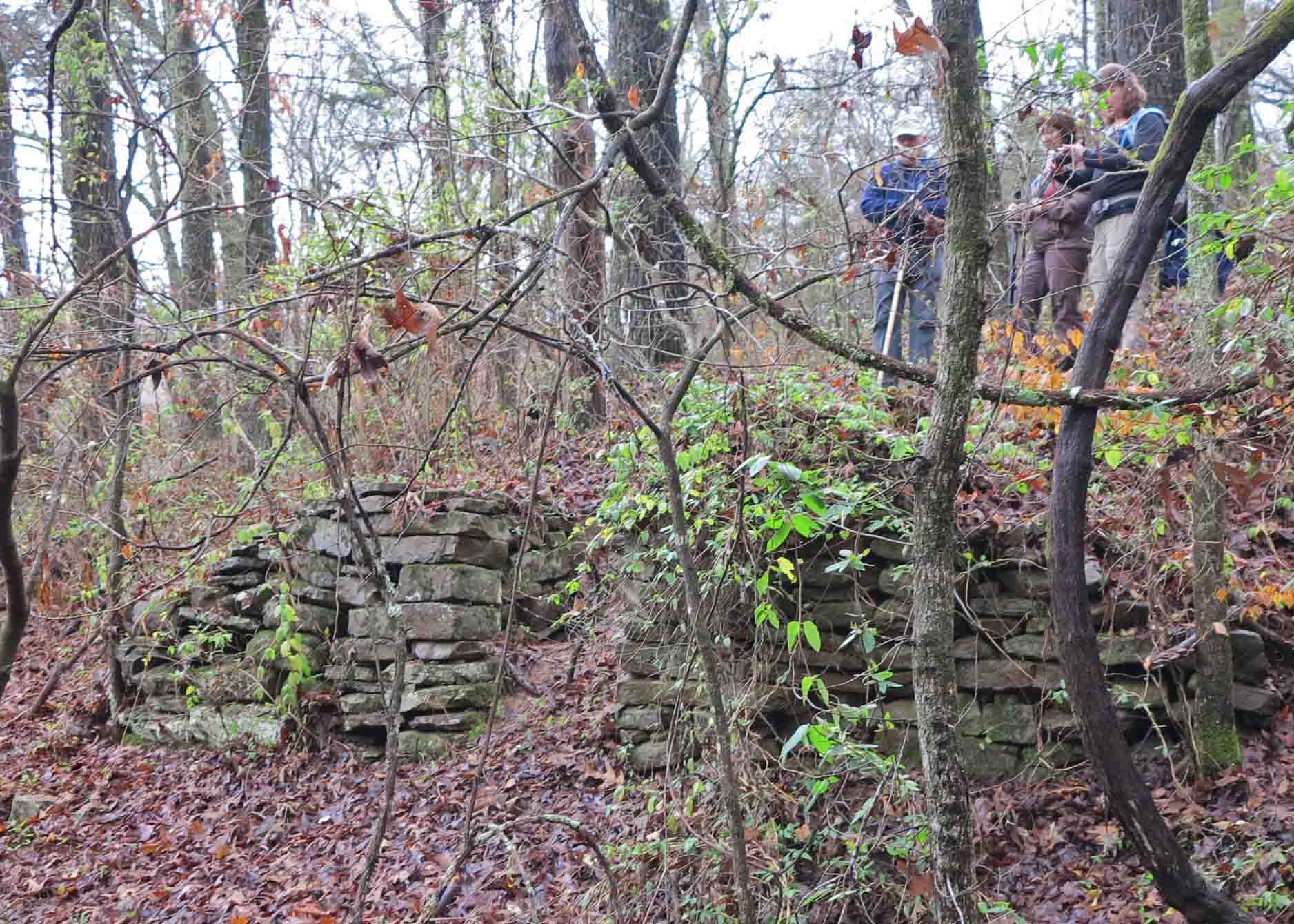
Many old structures can be found on the roads to the trail. This little house is located on the dirt road to the Lost Valley Trail.

Close to Lost Valley

Inside the two room structure.
To be continued…. So many roads to so many trails.

“Fixer-upper” on the road to Lick Branch Trailhead of the Ozark Highlands Trail