Overdue Followup Visit with Dr. Kessler and a New Trail for Hiker-dog!

Rock City Trail

Rock City Trail

Last week I joked with coworkers that I had an appointment with Dr. Kessler. I told them this doctor can cure all that ails me. “Dr. Kessler” is Mount Kessler and it had been several months since my first visit. It was time for a follow-up appointment. Today’s ten-mile prescription was exactly what I needed!

Hiker-dog joined me for her first visit on Mount Kessler. She was excited to explore the new terrain.

A regional park is being built close to the trailhead. It will include softball fields, soccer fields and much more. The trails get steady use now, but will probably see even higher use in the future as features are added to the area. The trailhead has been repositioned, but this was an improvement over the last time I visited and only adds about 0.3 of a mile in length.

Present trailhead for Mount Kessler

Mount Kessler trailhead

IMG_2950rr

The trail was easier to follow and less muddy this time. The trail skirts a hayfield before beginning the climb up the mountain.

IMG_2946rr

This is a trail of contrast. Just three miles into the hike, I was in Rock City, a maze of rock formations.

Rock City

Rock City

At about the time we were exploring the Rock City section, I noticed how dry the drainages were. Hiker didn’t seem stressed, but I began to look forward to getting her to a small pond up on the Trent Trail. When we finally arrived, she took great joy in repeated trips into the pool. She seemed to enjoy the murky water and drank heartily.

IMG_2934r

IMG_2928rr

Hiker was revived and ready to go…and a little green with duckweed from her dip in the pond.

Waiting for direction…

Waiting for direction…

Hiker is used to trail junctions and sometimes looks at me for a cue. While I paused at trail markers to make notes as we hiked down the mountain, I wondered what she thought of this series of trails with so many junctions.

We both left the trail feeling good after our treatment from “Dr. Kessler.” In the interest of our physical and mental health, we scheduled another appointment for this winter.

For driving directions, go to my first report, Mount Kessler, A Treasure in the Ozarks 

Hiker never sat down during our early morning drive to Mount Kessler. She rarely stood on our drive back home. Nap time!

Riding in the Jeep

Riding in the Jeep

Grays and Greens in the Ozarks

This photo topic interested me, and I realized that several shots from this week’s hike were monochromatic views of nature. In the Ozarks, various tones and hues of a predominant color can be inviting. Having said that, the following photo was not inviting enough to make me want to wade into Sylamore Creek at this specific location.

Happy swimmer in the cool water of the Sylamore Creek on the Ozark Highlands Trail.

Happy swimmer in the cool water of the Sylamore Creek on the Ozark Highlands Trail.

The next scene was taken before sunrise. This view from the edge of a bluff communicated distance and size with little variation in color although the indirect light of the sun was beginning to play with the fog.

North Sylamore Creek Valley

North Sylamore Creek Valley

Blandard Springs

Blandard Springs

My apologies if this isn’t true to the monochromatic theme, but the predominance of grays and absence of color in the spilling spring seemed to fit. The only hint at another basic color is the green of moss at the mouth of this cold, year round spring. Notice the opening at the upper right-hand corner.  This is an earlier exit for spring water before years of erosion formed the scene we see today.

Mirror Lake

Mirror Lake

Blanchard Springs eventually flows into Mirror Lake, a green on green scene.

This is the pedestal on which a waterwheel once turned. John Blanchard built this undershot grist mill in the 1880s. It sits downstream from Mirror Lake Dam as testimony to the hard working people who once made their lives in the Ozarks. The CCC restored the dam and part of the mill during the 1940s.

Grist mill

Grist mill

In response to The Daily Post’s weekly photo challenge: “Monochromatic.”

Sylamore Creek Trail: Getting Reacquainted

It had been too many years since my last hike on the Sylamore Creek Trail. An early backpacking memory is hiking about three miles out on the Sylamore Creek Trail from Blanchard Springs and spending the night next to the creek.

This time I wanted to cover more trail miles and see it all from both directions as a long day hike. A friend from the area recommended I visit Gunner Pool which is just over 5 miles from Blanchard so that was the plan.

I was on the trail by 6:30 a.m. to beat the heat that was scheduled to overtake the day. From my first steps on the trail, it felt like I was getting reacquainted with an old friend. The crosstie steps and gradual climb to the bluffs over Sylamore Creek were a great morning wake-me-up and my first views down into the valley made the climb worthwhile.

North Sylamore Creek Valley

North Sylamore Creek Valley

Arriving back down at creek level a few miles later provided a chance to walk on the limestone gravel shore and hear the china-like jingle as your feet sink a little into each step.  The stained overhanging bluffs reminded me of the Buffalo River.

North Sylamore Creek

North Sylamore Creek

I was surprised to see a little friend swimming the clear creek water. He looked like one very happy snake.

IMG_2439rr

I only encountered two groups of hikers between Blanchard Springs and Gunner Pool. I enjoyed visiting with a group of hikers from Memphis, who spent the night on the creek and were then hiking past Gunner Pool to Barkshed on down the trail. I was a little envious, but the heat kept me from feeling too bad about not following their itinerary.

IMG_2445rr

This pedestal rock was posted down in a drainage about 0.5 mile from Gunner Pool. I look forward to revisiting this area in winter and getting a better view of the beautiful rock formations all along this 5-mile section of trail.

pedestal

pedestal

Arriving at Gunner Pool was a surprise. I’d envisioned a wide spot in the creek, but this was a nice campground with pit toilets and several water stations. Gunner Pool was a haven for wildlife and plant life and sat above Sylamore Creek.

Gunner Pool

Gunner Pool

A small spillway encloses Gunner Pool and then flows on into Sylamore Creek below. This dam was built by the CCC Hedges Camp, active from 1933-42.

Gunner Pool spillway built by the CCC Hodge Camp

Gunner Pool spillway built by the CCC Camp Hedges 1933-42

After exploring Gunner Pool I headed back to Blanchard Springs, I took some time to explore the location where I remembered camping several years ago. On that particular night, I heard coyotes howl in the middle of the night. It was a musical treat. After that night, I’ve always looked forward to the possibility of coyote serenades whenever I camp in the Ozarks.

One puzzling sound from that night was a loud boom and splash in the creek. I thought to myself, “Boulders have to fall from those bluffs sometime, so how lucky that I got to hear one.” A few minutes later another boom and splash. I took my flashlight and explored upstream to learn more about the sound. Another boom and my light came to rest on a beaver swimming in the creek, occasionally flipping over and slapping the water with its tail. The falling rock mystery was solved.

The following morning I walked back into the woods and made my way to the point of the bluff pictured below. It was quite a view and a great place for morning coffee!

Bluff point on North Sylamore Creek

Bluff point on North Sylamore Creek

Memorial for Jimmie White, Arkansas State Trooper

Memorial for Jimmie White, Arkansas State Trooper

I was interested to see this monument along side of the trail. I later read that Trooper White was killed on his motorcycle while working a motorcade escorting the Blue Angels pilots as they prepared for an air show in 2002.  The stone said Trooper White especially loved this trail and thought it was the most scenic trail in Arkansas.

This out-and-back hike was about 11-miles in all. The sign says 4.5 miles from point to point, but I logged 5.4 miles one way. I was pleased to get reacquainted with this beautiful trail and look forward to a backpacking trip here in winter.

R-Pod’s First Voyage

Mount Magazine Cameron Bluff Campground

Mount Magazine Cameron Bluff Campground

For our first R-Pod voyage, we drove the short 60-miles to Mount Magazine State Park. The Pod was a joy to pull up AR 309 to the mountaintop. Entering the visitor center, I couldn’t help but notice the trailhead I would be walking the next morning. I was looking forward to customizing a loop route linking three separate trails for my trail guide.

IMG_2088

The next morning, Hike-dog and I headed back to the visitor center for a nice hike. We started out on the Will Apple’s Road Trail with low expectations because of the “road” in the name. This old roadbed that was used in the 1800s to transport produce down the mountain turned out to be the perfect beginning for the day. It was a level trail for warming up early in the morning before tackling rougher paths.

IMG_2061rr

We took the spur off of Will Apple’s Road to see a small pool that would have held a strong attraction for Hiker later in the day when she was thirsty. A small concrete footing was poured a few feet away which may have held a pump at one time. Creeks were dry, but this little concrete pool held water, so a small spring or seep must be located up the rocky drainage.

We quickly arrived at the Mount Magazine Horse Camp, a great place to park if you’re hiking Bear Hollow. We quickened the pace as we entered this beautiful hollow. The trail skirts the upper ridge and eventually comes to some nice overlooks. We decided to hang out at Inspiration Point for a while at sunrise. As the sun came up Bear Hollow filled with clouds. You could see them moving up the valley.

A hazy sunrise

A hazy sunrise

Looking up the hollow to Sunrise Point from Inspiration Point.

Looking up the hollow to Sunrise Point from Inspiration Point.

After enjoying Bear Hollow, we arrived at Benefield Picnic Area. Along the way, you pass a grave marker that reminds you of how common it was to lose a child before modern medicine.

IMG_2074rr

Benjamin Benefield had a large homestead on top of the mountain.  Hiker acted as if Mr. Benefield built this little pond just for her. We heard some nice frog songs around the edges.

Benefield Pond

Benefield Pond

Eventually, the trail came alongside a bluff line overlooking the Petit Jean River Valley. On this morning, the valley was filled with clouds, but still beautiful. We continued around our customized loop and ended the day back at the visitor center. We were both thirsty and ready for a nap. It was a wonderful day, and I was already planning my next trip to Mount Magazine.

Petit Jean River Valley

Petit Jean River Valley

After a nap it was time to satisfy a couple of healthy appetites and plan the following day’s hikes!

IMG_2104

Temperatures were so mild that we didn’t use the air conditioner on our second night on the mountain. I must brag on Hiker-dog. She sleeps in a wire crate next to our trailer and doesn’t bark or disturb fellow campers through the night.

We thought of the pullout as a negative while shopping, but have decided that it creates enough additional space that it is worth the extra weight. This 16-foot camper is a comfortable little tent on wheels for two.

IMG_2099rr

A Tent on Wheels?

My home on the trail after lessons learned (all under 32 pounds).

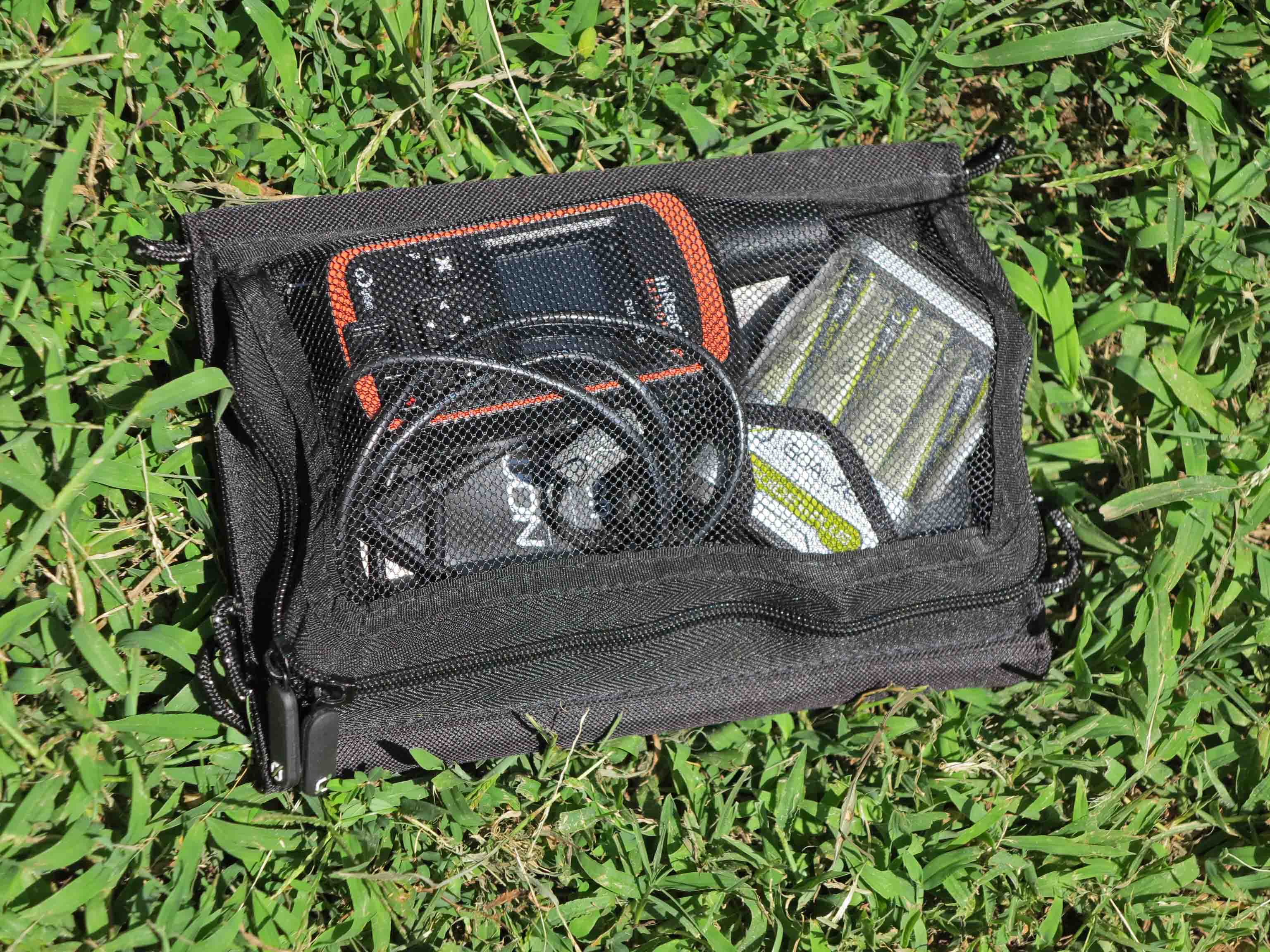
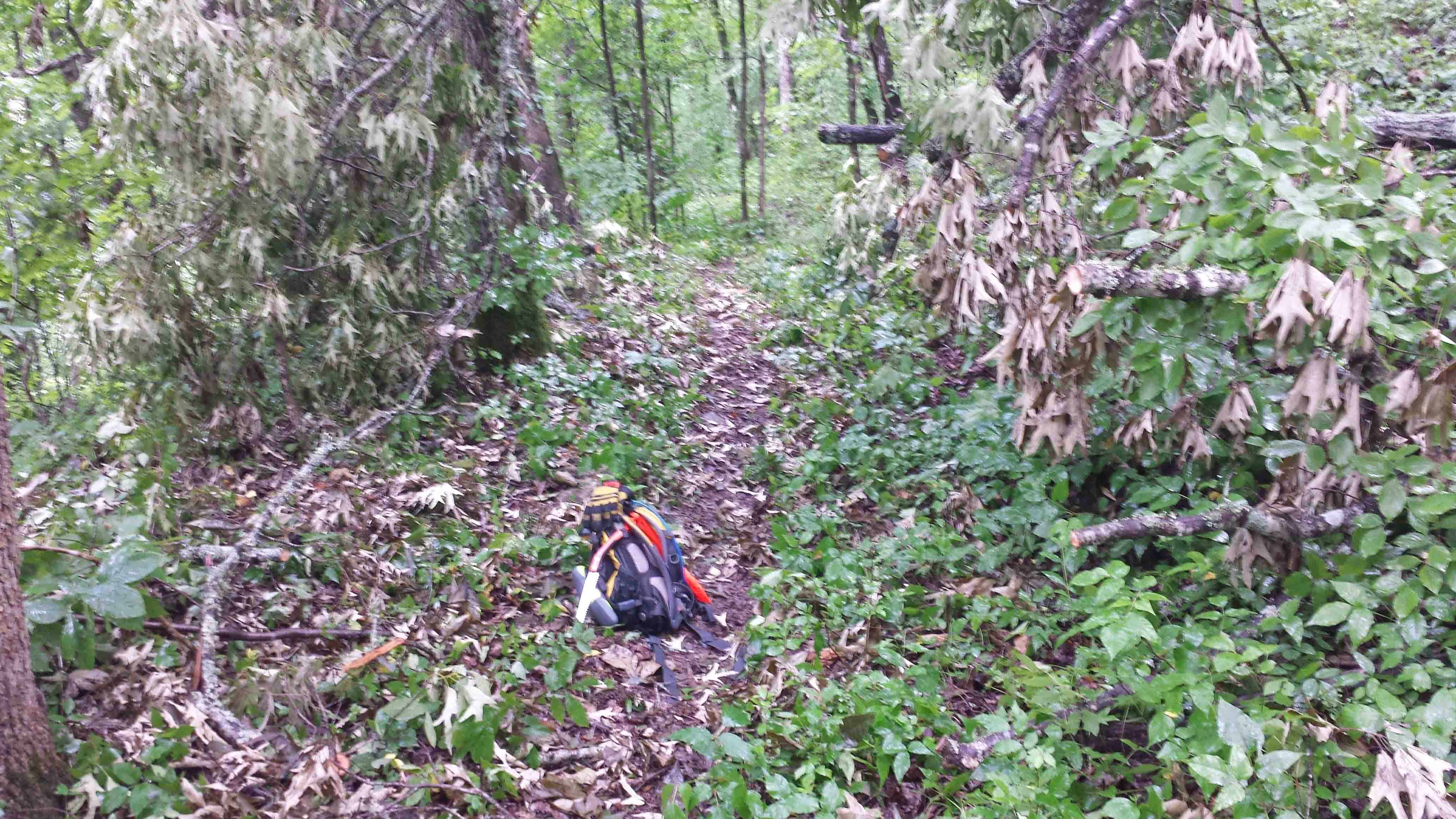
On the right is my home on the trail after years of lessons learned (all under 32 pounds).

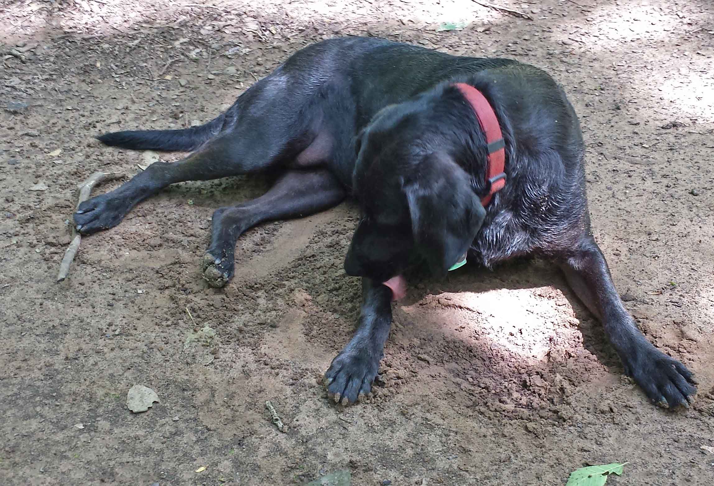
My first experience with backpacking was a disaster. My pack was too heavy. My shoes were too tight. Temperatures were too high, and mosquitoes were swarming. I loved backpacking and was hooked! I continue to backpack now, twenty years later, and continue to learn with every trip.

Why would a backpacker who prefers ultra-light travel want what I’ve sometimes called with a smirk, “a tent on wheels?”  I’ll answer this question later.

Before I started backpacking, I purchased a pack, sleeping bag, tent, and camp stove. I use none of those original items today even though they’re still intact. Knowing what I now know, I would have bought a different piece of equipment in every case.

Purchasing the wrong tent on wheels (or travel trailer) would be an expensive mistake. My wife and I planned a trip to Buffalo Point and rented a camper trailer from a local dealer. They were great to work with and provided us with a Dutchmen Kodiak 24-foot unit that weighed about 4000 pounds. The interior was very nice, and the air conditioner worked well, an important feature in July. It was the perfect camper trailer because it offered everything we could want at a size and weight we “could” tow.

Dutchmen Kodiak 24-foot

Dutchmen Kodiak 24-foot

From our three nights at Buffalo Point, we knew we wanted a lighter camper. Just because you can pull it doesn’t mean you should. As in backpacking, lighter is better but involves some trade-offs (or sacrifices). We determined what was essential for us.

1. A flush toilet and shower

2. A bed and dinette area that are separate and can be left set up, allowing one of us to take a nap while the other reads or writes at the dinette.

3. A weight limit of 3000 pounds and length limit of 20-feet. These were arbitrary numbers but gave some guidance.

4. That we tow the RV with our present vehicle (Jeep Grand Cherokee) since I plan to drive it for several more years.

While not essential, we liked fiberglass exteriors for durability and resistance to hail damage. We also liked a fiberglass roof better than a rubber roof if we had a choice.

What were we willing to sacrifice?

1. We were willing to go with a much smaller bathroom.

2. We didn’t need an oven but wanted to be sure we had a microwave and a stovetop burner.

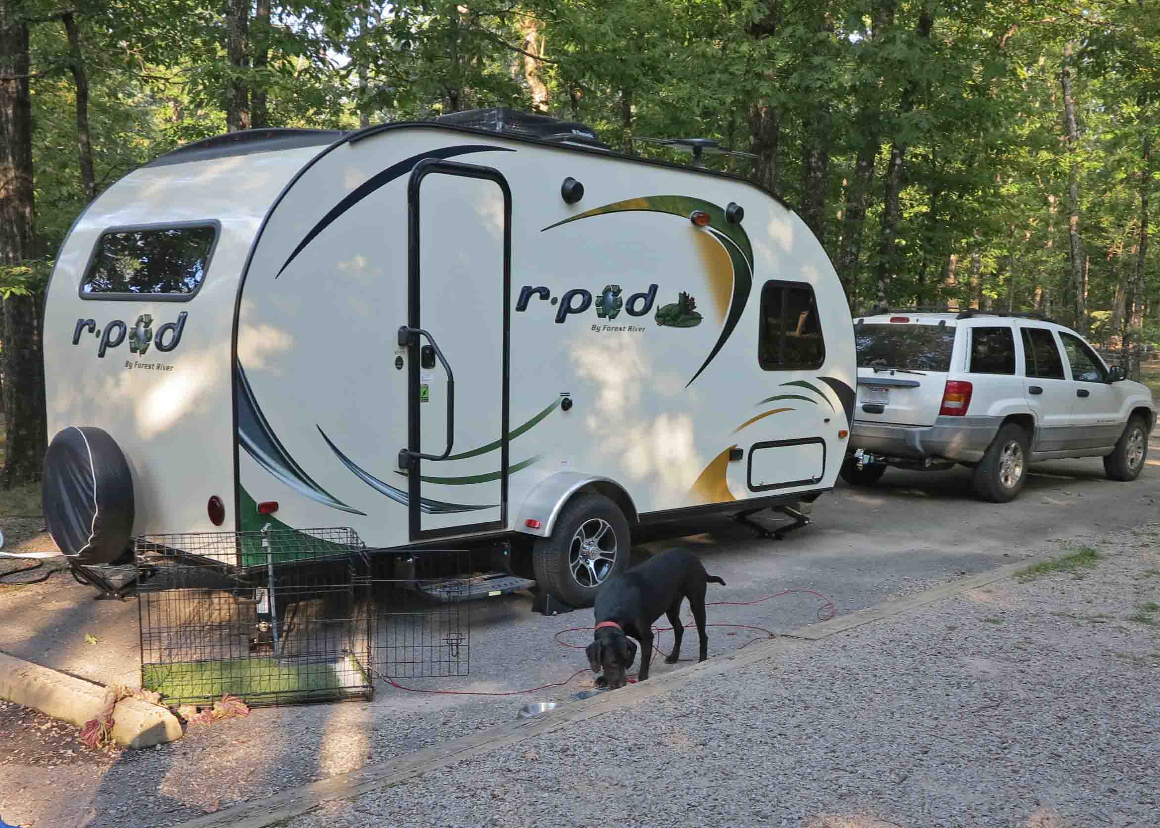
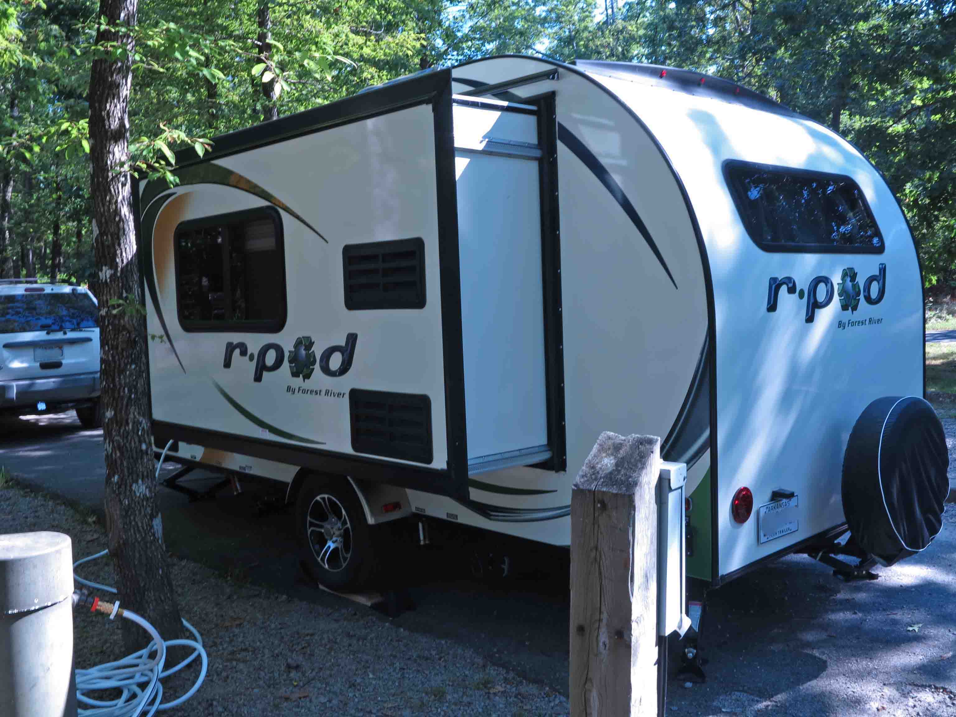
After enjoying our rental experience, visiting with campers at Buffalo Point, walking through many travel trailers, and reading reviews, we began to lean toward the Forest River RPod. The R-179 floor plan with its spacious kitchen (by RV standards) and a separate dinette and bed best met our needs. The dry weight was around 2700 pounds. The length was 16-feet (20 with the hitch).

We located a dealer with an R-179 in stock and were impressed after walking through, crawling under, and generally kicking the tires. We reached a good price and made the purchase a few days later. Working with the knowledgeable folks at the dealership got us off to a safe start with our little trailer.

RPod 179

RPod 179

While pulling the travel trailer home, my Jeep purred “thank you.” I realized no extended mirrors would be needed and liked being able to view the rear wheels for reference when turning or staying centered in my lane.

Why a tent on wheels?

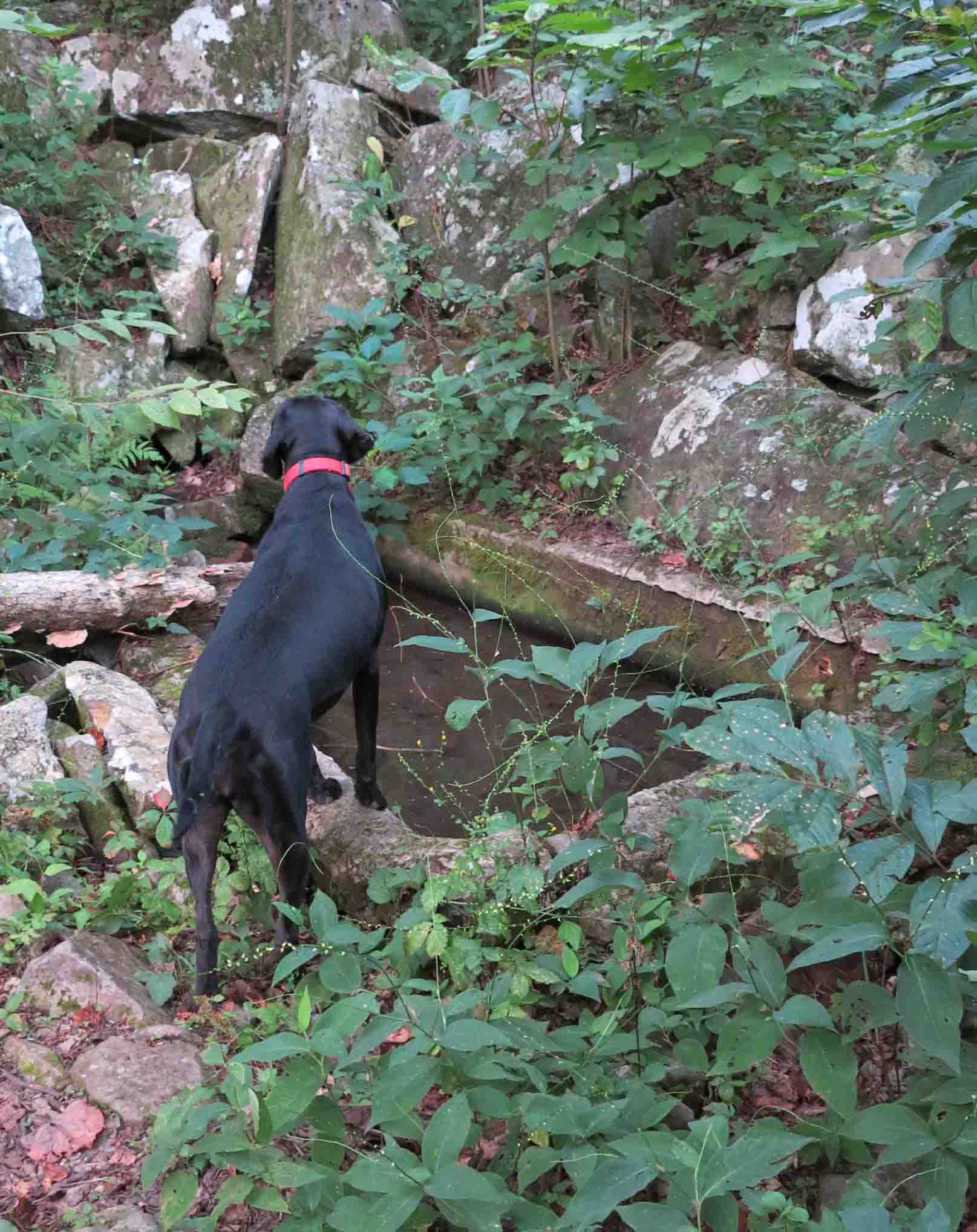
I love backpacking and will continue to do extended outings, but also enjoy day hiking. A travel trailer will increase our flexibility in getting to the trails we want to explore. We like the idea of having a comfortable base camp at the end of the day. My wife loves being out in nature and doing day hikes, but is not into backpacking. I love being with my wife and having time to visit in the evening and enjoy meals together. It’s also nice to have a secure and dry location for a camera and computer when reviewing trails.

We’re looking forward to some trips into Missouri soon and welcome any recommendations on day hiking locations as well as RV parks. We’re new at this, so suggestions and advice about RV camping are welcome!

Check out this tiny combined toilet shower. “Navy showers” are recommended, so you don’t use up the 6-gallon hot water tank. You can see the bed that remains set up beyond the bathroom.

Toilet and shower

Toilet and shower

IMG_1973rr

We were surprised at how much space the single pull-out adds. The dinette and refrigerator are housed in the pull-out.

Dinette and kitchen.

Dinette and kitchen.

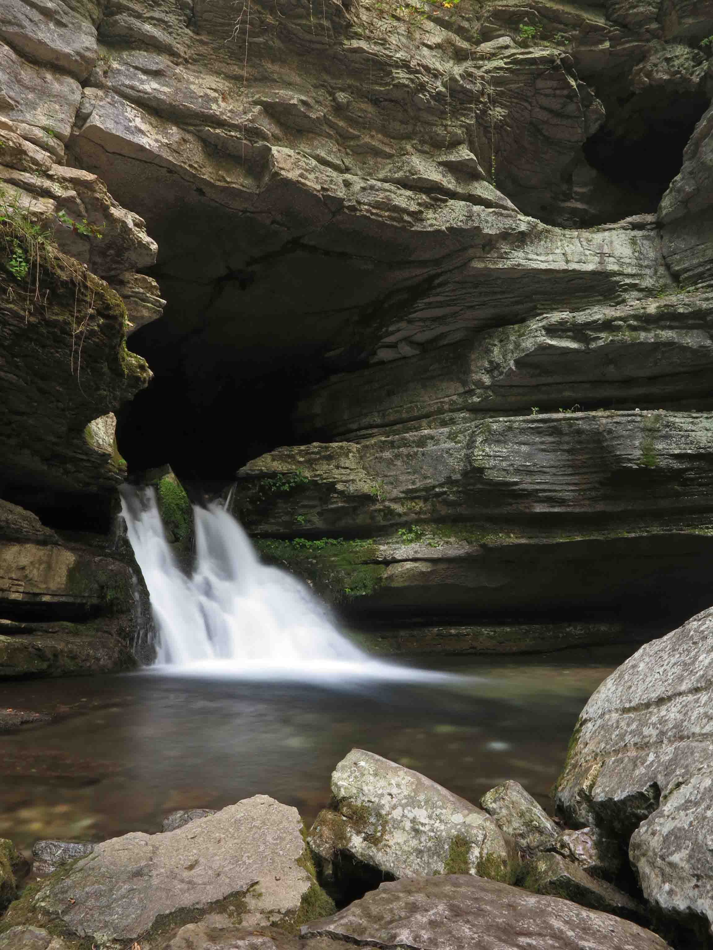
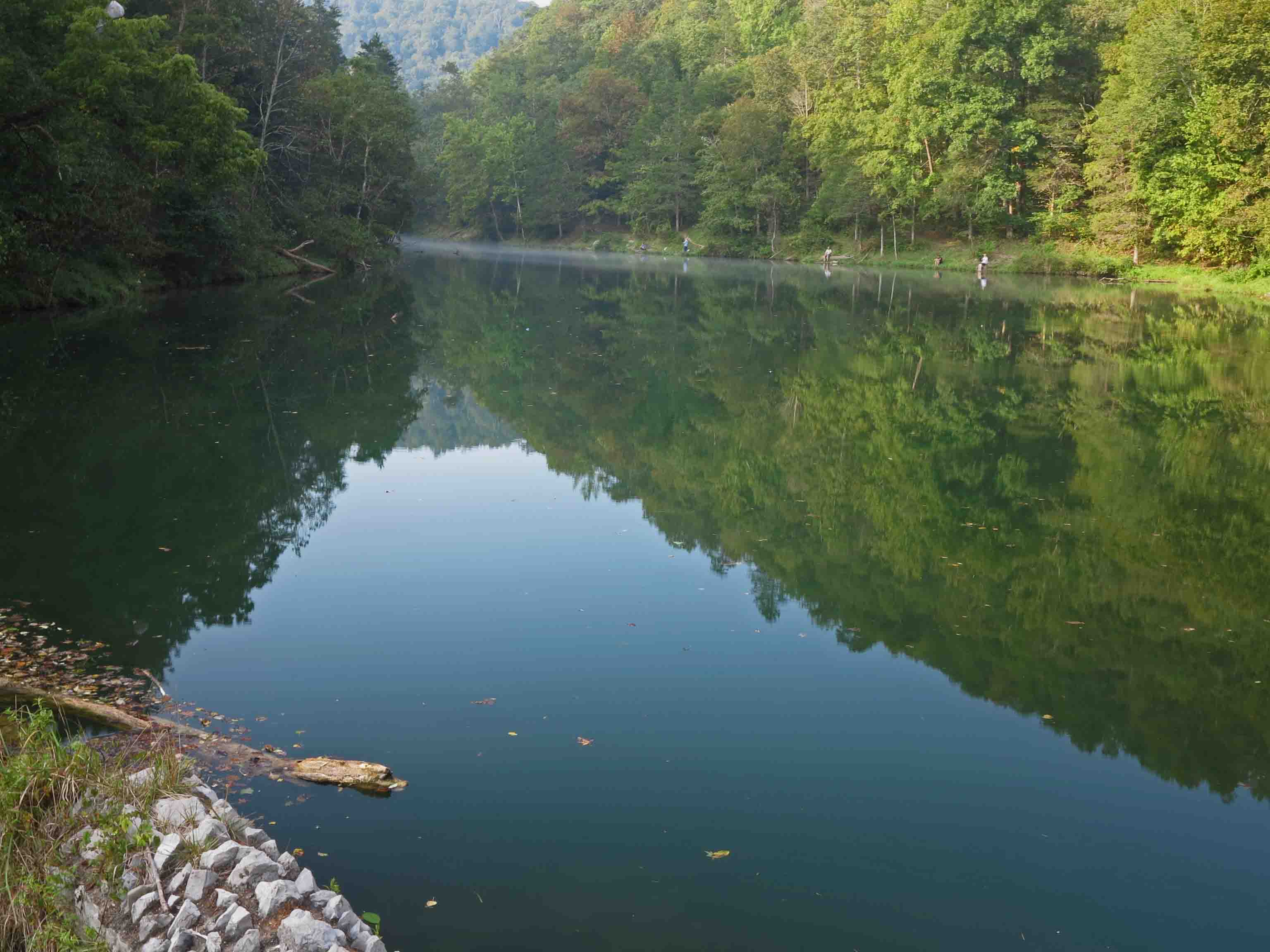
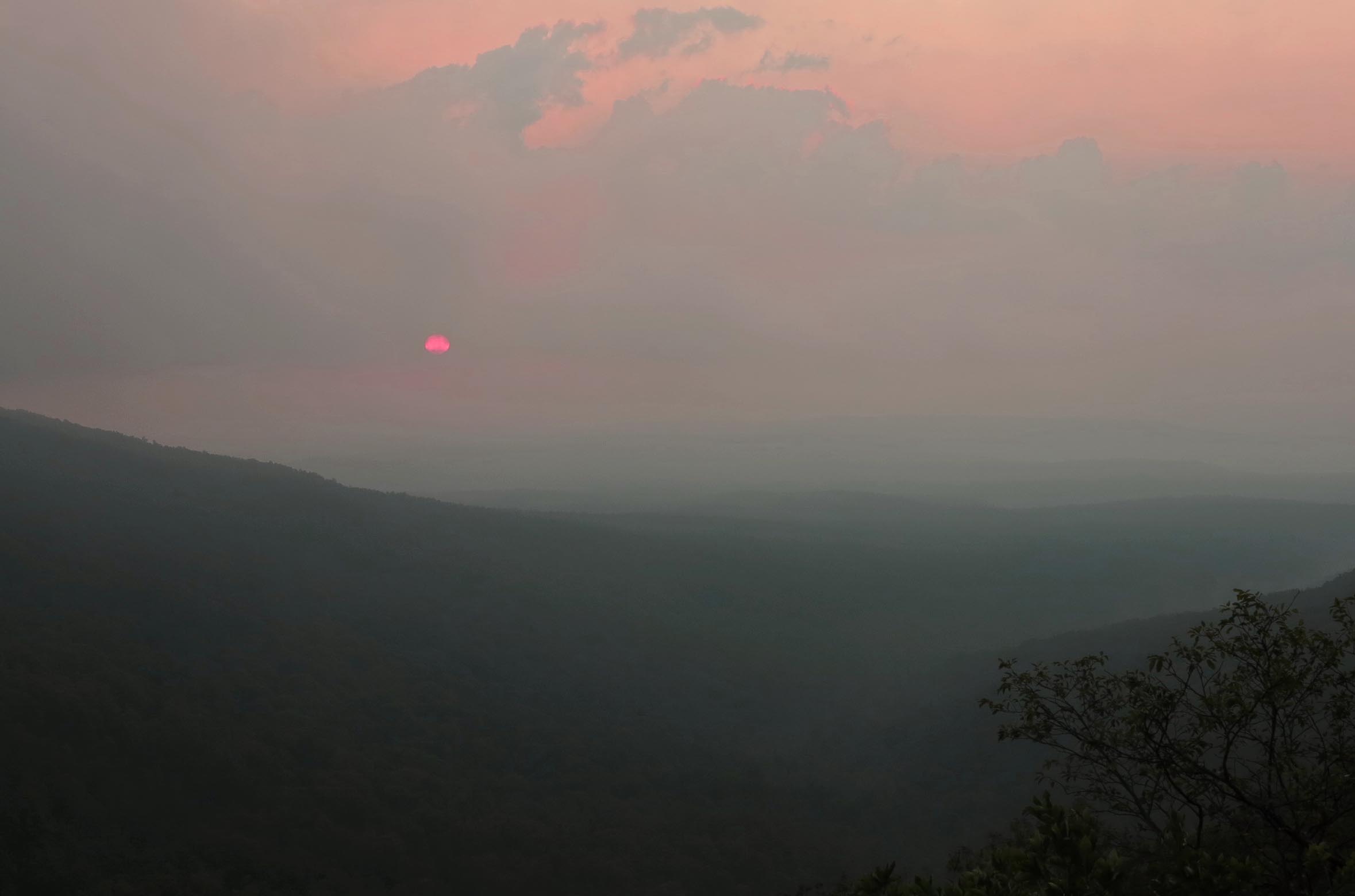
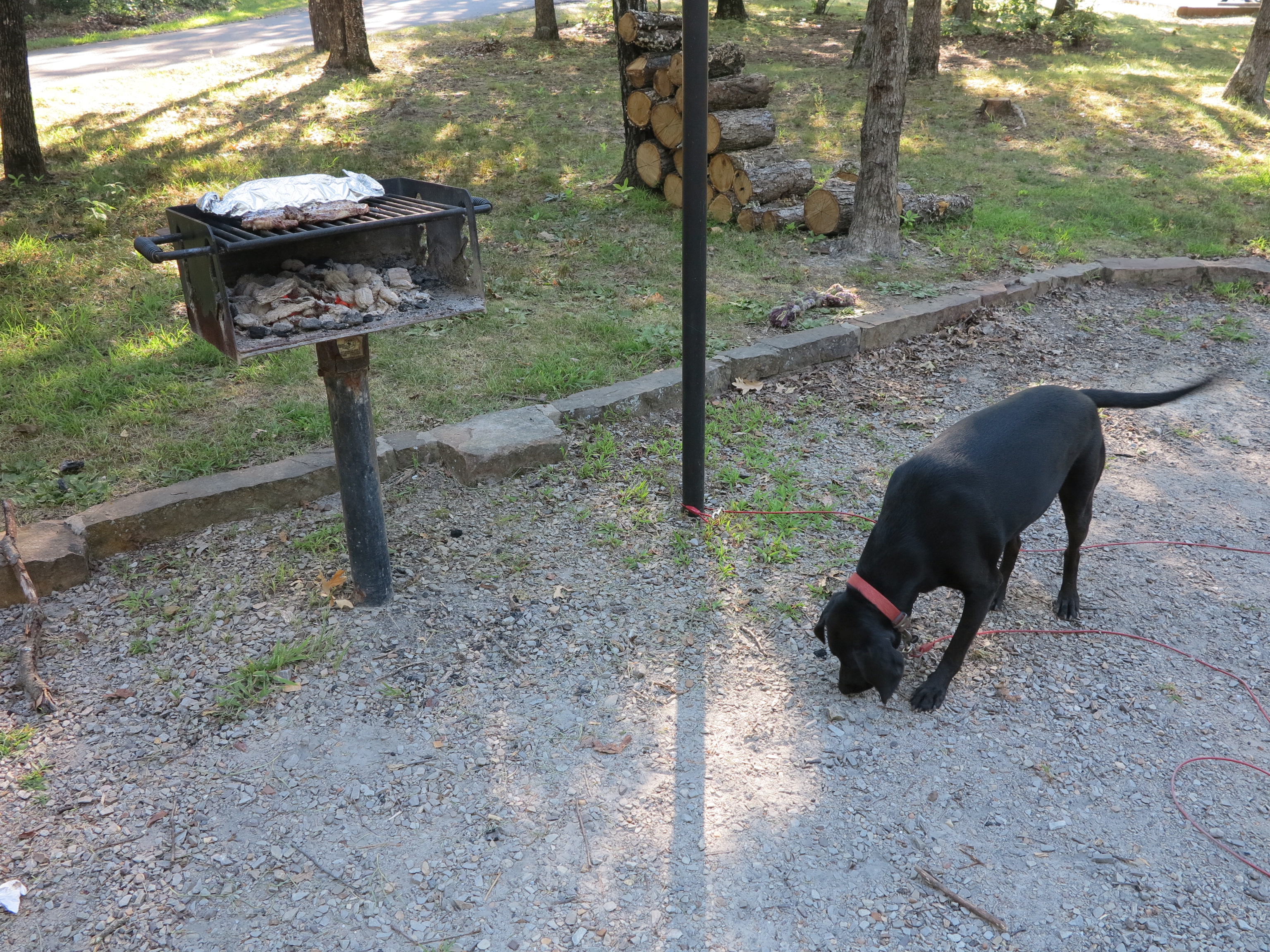
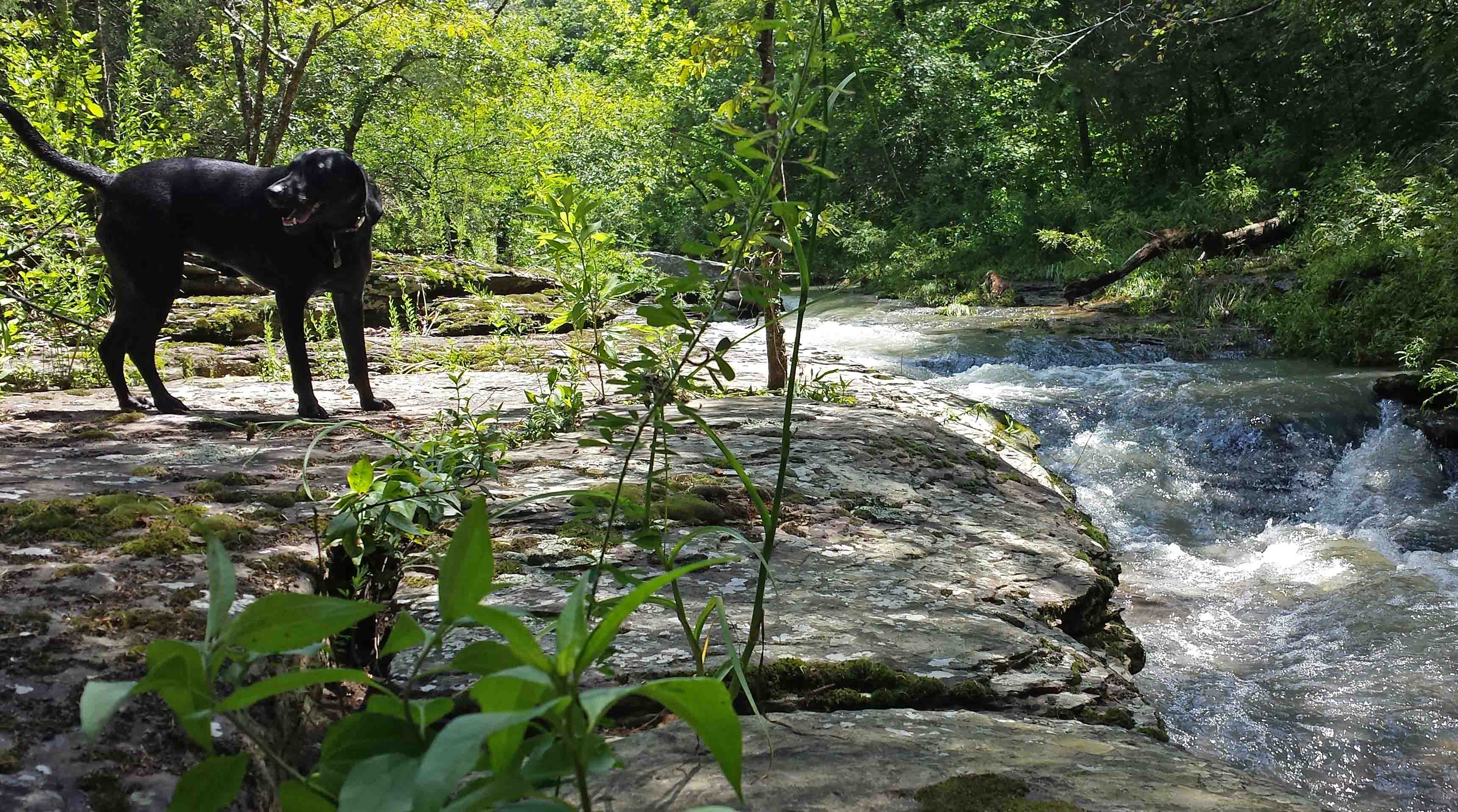
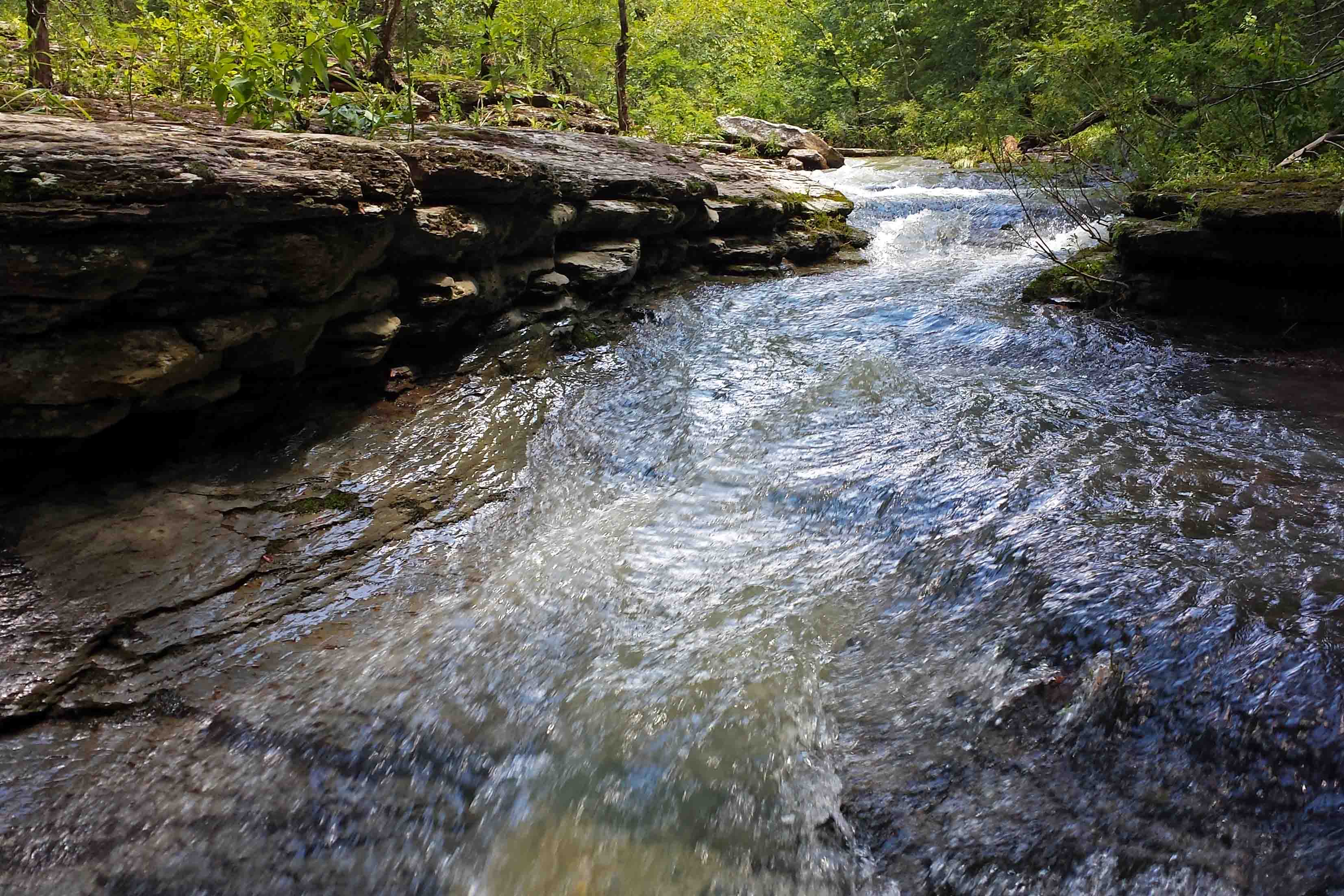
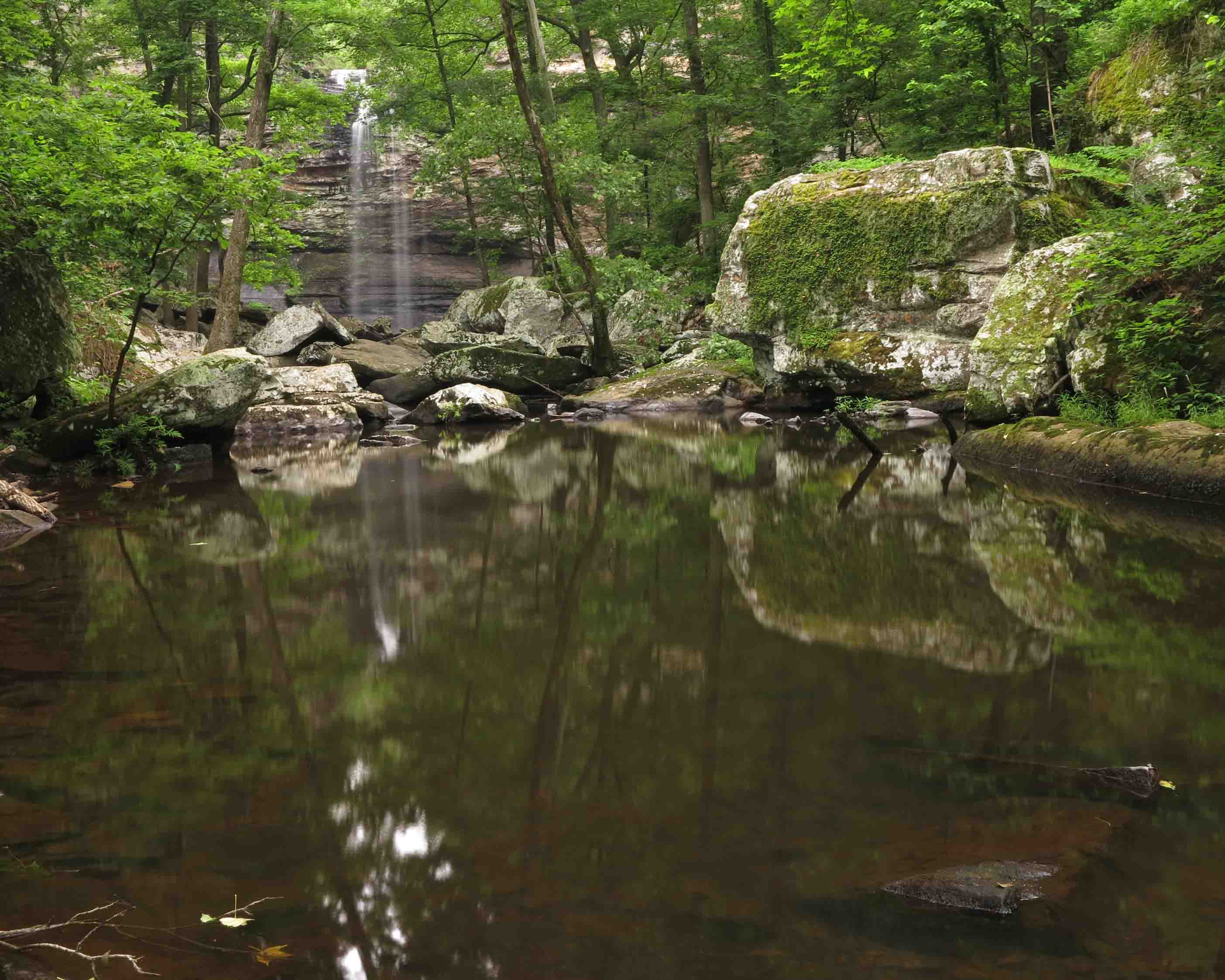
Hopefully, my next pictures will be on location at Lake Fort Smith State Park. The scene below was from a couple of months ago 0.2 mile from the campground.

Shepherd Spring Waterfall

Shepherd Spring Waterfall

Looking forward to winter and some multi-night backpacking trips with my 32-pound n0-wheels load. Still a backpacker at heart! I’m just a backpacker with one tent on wheels.

Technology on the Trail, Yes and No

I have a friend who often says, “Just because it can be done with technology doesn’t mean it should be.” For example, there’s nothing better than a good old fashioned compass on your belt. It’s lightweight, always turned on, and has no batteries to run down.

Just a few of the technology choices backpackers have when hitting the trail.

Just a few of the technology choices backpackers have when hitting the trail.

I don’t usually discuss gear, but the heat and humidity of Arkansas have me inside except for early morning jaunts around the lake with Hiker-dog. I’m going to share one type of technology that I now carry when hiking solo and a second piece of technology I carry if the backpacking trip is extended.

I’m not a big proponent of technology on the trail, but I do want my loved ones to have peace of mind and confidence that I’m alright out there in the woods.

inReach

inReach Explorer

One thing my compass can’t do is communicate my location to others. A few months ago I purchased an inReach Explorer so my wife would know my location when I’m solo hiking. I entered her email and phone as a contact so she can go to a mapping program that shows my location and route. Using the inReach, I can send text messages to my contacts from anywhere regardless of cell coverage. The messages pop up on the map showing my location. I turn the unit on when I leave the house, toss it in my pack and forget about it. It sends a location every ten minutes to conserve battery use.

I’ve been shopping for a way to charge my inReach and GPS. I only carry a GPS when doing trail scouting and writing, but the inReach is with me whenever I go solo. I find that scouting, writing, and photography almost require that I hike solo because the going is so slow. Hiker-dog even loses patience with my snail’s pace when doing a trail review.

Guid 10Plus Solar recharging hit

Guide 10Plus Solar recharging kit

I purchased a solar panel that I think will work well (although I resent its added weight). It would be good for a group of backpackers to have one of these units available to keep a cell phone, inReach,GPS and camera charged as needed. It is easy to use and easy to position facing the sun. Items being recharged can go in the shade behind the unit. I left my inReach in the sun for the photo and size comparison.

Another charging option is to use the battery pack to recharge items. The pack includes a built in LED flashlight to assist in making connections. It was nice of them to think of that.

Netted zipper pocket.

Netted zipper pocket.

Everything packs up pretty conveniently when you fold the solar panels closed. A netted zipper pocket holds the rechargeable batteries, charger wires, and maybe even a piece of technology in case you want to store it all together. The dimensions are 6.5 x 9.5 x 1.8 inches when closed. The cost is around $120.00. It weighs just over a pound which is a lot in backpacking weight.

I’m sure there will be improvements in performance and weight of solar units, but this will meet my needs for now. I just felt a strong urge to pack my iPod on my next trip… Think I’ll let the birds, creeks, and coyotes take care of my hiking music. “Just because it can be done with technology doesn’t mean it should be.”

Front of the package when closed.

Front of the package when closed.

Trail Work in July?

A few weeks ago I was appalled to find some major tree blowdowns on my adopted section of the Ozark Highlands Trail. I’ve bragged that since my section follows the Jack Creek drainage, it’s protected from winds and ice. We weren’t so lucky this time.

From the pattern of downed trees, a microburst must have passed through a portion of the area and dipped into my quiet little valley. Large trees fell like dominoes, some across the trail.

Mike LeMaster and I decided to work this section from Dockery Gap (approx.  mile 10.5) west to around mile 6. Out-and-back, this came to around 9 miles with numerous stops to cut and clear. Mike likes doing some trail maintenance in the summer to stay in shape for the busier maintenance and hiking months in the fall. We got a good workout on this day!

Mike cutting the first tree encountered.

Mike cutting the first tree encountered.

We found several large trees across the trail between mile 9 and 10, but this wasn’t the worst of it.

Typical

Before photo: Typical “blowdown” encountered on the trail.

This was the scene in several spots on the trail. We first had to determine the trail route through multiple downed trees and then Mike began to do his chainsaw magic. My job as “swamper” was to pull stuff off of the trail and stay out of the way.

After

After

Large oaks toppled head-high across the trail at one creek crossing.

This large trunk was head-high across the trail close to a creek crossing.

One of the things I asked Mike to agree to was that I carry the chainsaw. It was the least I could do after he sawed on this July day with a heat advisory in effect. I later learned that Mike was looking forward to a cool dip in Jack Creek at the far end of our maintenance route. I was looking forward to filtering a fresh batch of water (upstream from Mike) for our return hike to Dockery Gap. It was nice to cool off and unusual to have so much water in the creeks in July!

Jack Creek close to mile 6

Jack Creek close to mile 6

I want to say a big thank you to Mike for braving the heat and helping me with my section of trail. As a board member of the Ozark Highlands Trail Association (volunteer position), he takes a hands-on approach to leadership! It felt good to walk back through the areas we’d cleared earlier. While working this section, I concocted a plan to backpack from Lake Fort Smith to White Rock Mountain and on to Fane Creek in the fall. Can’t wait to see this area again….in cooler temps!

Mike, a master sawyer!

Mike, a master sawyer!

Exploring Upper Jack Creek in the Ozark National Forest

Small cascade above a pool.

Small cascade above a pool.

My reason for hiking down the upper section of the Jack Creek drainage on an old roadbed was to see if I could find an access point for my 4.3-mile section of the Ozark Highlands Trail. I maintain from the Dockery Gap Trailhead west to the second Jack Creek Crossing. I carried my cellphone as a camera to save weight and avoid damaging my real camera while bushwhacking.

As often happens, the Ozark National Forest rewarded me with unanticipated beauty. As the upper Jack Creek flows toward the Ozark Highlands Trail, it carves its way through a high-walled canyon. The rock walls contain several rushing cascades. Hiker-dog and I enjoyed stopping along the creek for the views and to pick off ticks. Tis the season for ticks and such. I look forward to returning to this location with my real camera in fall or winter!

Pool on Jack Creek

Pool on Jack Creek, tan from runoff of recent thunderstorms. 

Hiker enjoying the water

Hiker enjoying the water

Jack Creek 3

Canyon walls next to Jack Creek

Canyon walls next to Jack Creek

Evidence of old homestead next to Jack Creek

Evidence of old homestead next to Jack Creek

View upstream from the top of a rushing cascade.

View upstream from the top of a rushing cascade.

Memory Falls on Father’s Day

Cedar Falls

Cedar Falls

I enjoyed the short hike down to Cedar Falls at Petit Jean State Park, remembering many hikes with my father and friends on this trail I’ve traveled since childhood. Passing a large boulder or pressing my hand across the intricate patterns of erosion on a rock wall might prompt memories I hadn’t thought of for years.

My father is unable to hike this trail now, but I’m thankful for the time we spent together on this and other trails over the years. He had an appreciation for nature and that was one of many gifts he passed down to me.

After I spent a few minutes with Cedar Falls, a father and son duo approached. I enjoyed catching a few shots of their enjoyment at the base of the falls and wondered if this place would become a memory bank for them as it had for me. IMG_1351rr

While hiking away from the falls, I waded out into the creek with my camera and tripod for the following shot. The warm water felt good as reflections danced off rock surfaces. I did happen to think about the snake I saw a few minutes earlier that slipped from the trail into the water but figured he wouldn’t mind my short visit into Cedar Creek.

Cedar Creek below the falls.

Cedar Creek below the falls.

After hiking back up to Mather Lodge, I looked out across the Cedar Creek valley and thought of the times I’d spent there with family. I thought about one daughter’s soft singing as she and her older sister and my wife and I stared at the stars from this bluff one night. I thought of a family photo we took on the bench close by. I thought of how, as a child, I used to stand and stare at the rock walls on the other side, wondering how the flow of water over time could form such beauty.

I felt thankfulness for my daughters though miles sometimes separate us. I felt thankfulness for my parents who are still able to experience trails through the photos I share. I’m thankful to have my father and thankful to be a father. Happy Father’s Day from Cedar Falls Trail.

View from Mather Lodge

View of Cedar Creek valley from Mather Lodge

Daddy and mother at Petit Jean State Park during the 1980s.

My parents on a Petit Jean State Park trail during the 1980s.

A Rainy Day on the Ozark Highlands Trail and My Least Favorite Camera

summer thunderstorms

Summer thunderstorm clouds today.

Recent heavy rains combined with some wind caused tree blowdowns on my adopted section of the Ozark Highlands Trail. I’d always bragged that my section was pretty easy to maintain because it’s down in the protective Jack Creek drainage, but my luck ran out this time.

Mike, friend and expert sawyer, was planning to do some cutting, and I was going to “swamp” (clear out what he cut). Rain meant chainsaw work wasn’t an option so I decided to take Hiker-dog and survey the damage, cutting what we could with my little handsaw. We found several trees across the trail, and I noted locations, but the real pleasure was in taking a few photos in between thunderstorms throughout the day.

This cone flower next to the trail was drinking in the sunshine on a mostly cloudy day.

cone flower

cone flower

Hiker was excited about spending a whole day on the trail. She likes the water, so rain was no problem. She only jumped when a loud of clap of thunder surprised us while working. When we stopped at Jack Creek for a break, she did a little grooming.

OHT Hiker resting We came upon a little friend hanging out on a log across the trail. I paused for a photo. Hiker-dog was focused on squirrels and never noticed the snake up above. OHT snake

Because of the rain and plans to do maintenance, I left my good camera at home. But, I ended up seeing a few things that needed to be captured so my cellphone filled in. Since there’s no reception down in the Jack Creek valley, I kept my phone turned off and stowed in a water-proof bag until needed as a camera.

I enjoyed the challenge of taking photos using what I consider my least favorite camera, the cell phone. We were soaked through and through, but it was a beautiful day on the trail.

Quick word about trail maintenance: Adopting a section of trail is a great way to help keep it open. Visit the Ozark Highlands Trail Association or other trail groups in your region to get involved. Below is a picture from before and after I did a little work with a handsaw.

Before saw work.

Before saw work.

After some sawing and hauling.

After some sawing and hauling.