One Good Trail is Enough

IMG_0108rr

It had been several months since I checked my little adopted section of the Ozark Highlands Trail. My last two visits were in July and then again in September. Mike LeMaster cut a number of trees off of the trail in July and then Steven Parker did some more chainsaw work recently. I’ve had some expert help in maintaining this trail!

IMG_0084rr

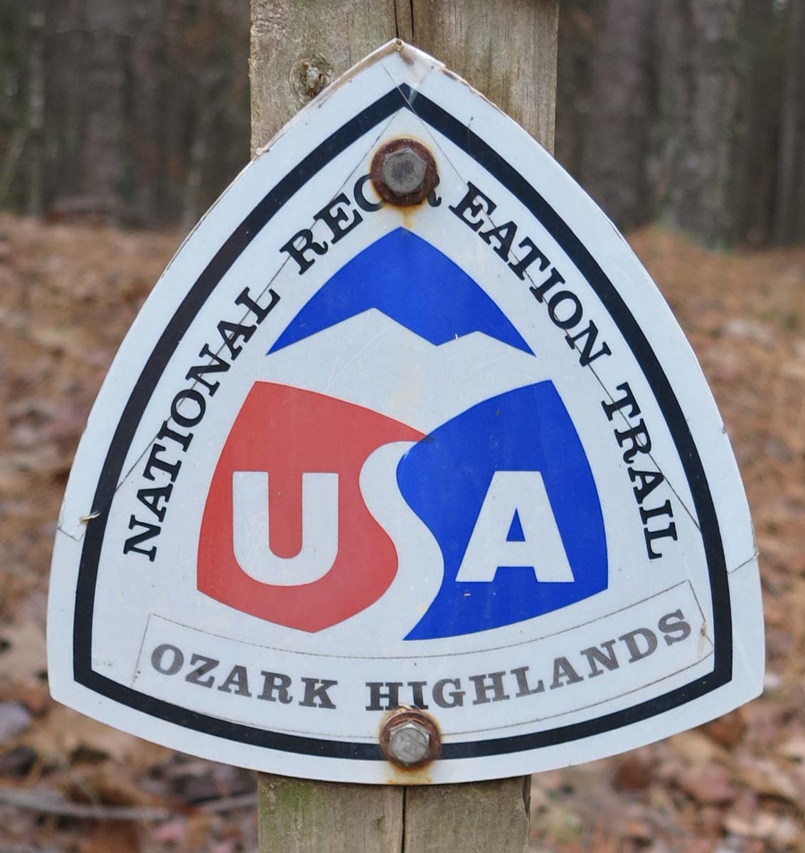
Mile marker close to Dockery’s Gap

This little piece of the OHT has become special to me. It runs from Old Locke Road (FR 1007) at the Dockery’s Gap Trailhead, west to a campsite next to Jack Creek at mile-5 of the OHT.

When the new Lake Fort Smith State Park was being built, this piece of trail was abandoned, and the beginning of the OHT was at Dockery’s Gap. I liked hiking the closed trail and marked sections with survey tape to make the route easier to follow. Sometimes I’d saw small trees off the trail to keep it passable. When this section of trail reopened around 2008 after the completion of the new state park, I adopted the 4-mile section.

IMG_0184rr

Jack Creek

About three years ago, I realized just how strong my sense of ownership was when I discovered that some campers had trashed a special spot on the trail. I cleaned it up while cursing under my breath. I describe this incident in Jack Creek Criminals. It felt like a personal attack that someone would have so little respect for “my” section of the OHT!

IMG_0141rr.jpg

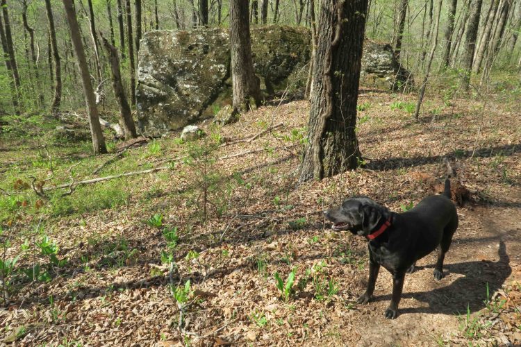
Hiker enjoyed the trail and cool air.

Today, Hiker-dog and I walked from Dockery’s Gap to Lake Fort Smith State Park where my wife, Becca, would meet us. Wildflowers were popping, creeks were flowing, and the sun was shining through cool, crisp air. It was a magical day and every step held beauty. I felt like I barely knew this trail as if hiking it for the first time.

Sometimes I’ll say, “I’ve done the OHT,” meaning I’ve hiked the 180 miles from Lake Fort Smith to Tyler Bend. I’ve “done” the section from Dockery’s Gap to Lake Fort Smith many times. What I can’t say is “I know this trail.” Today taught me that I never “know” a trail. Each mile has something new to offer every time I walk it. My life would be plenty full with just this little stretch of Ozarks landscape. One good trail is enough! 

…..

As I approached Lake Fort Smith, I met a hiker from Joplin. It was his first time on the OHT, and he was pleased with his new map. I enjoyed telling him that he was standing on the section adopted by Kristian Underwood, the cartographer responsible for the OHT maps.

IMG_0242rrr

Map by Underwood Geographics

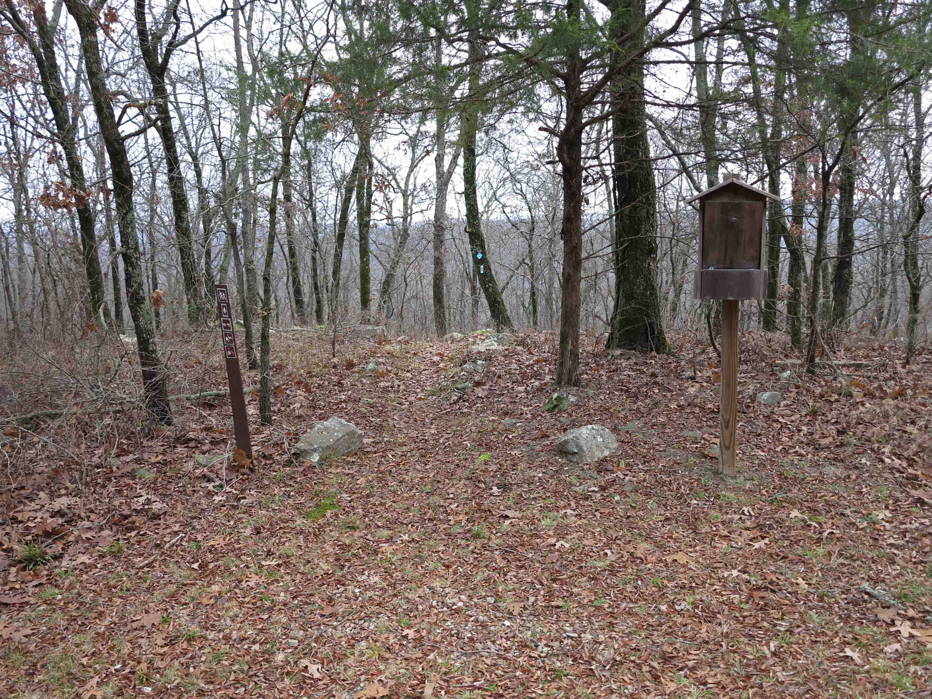
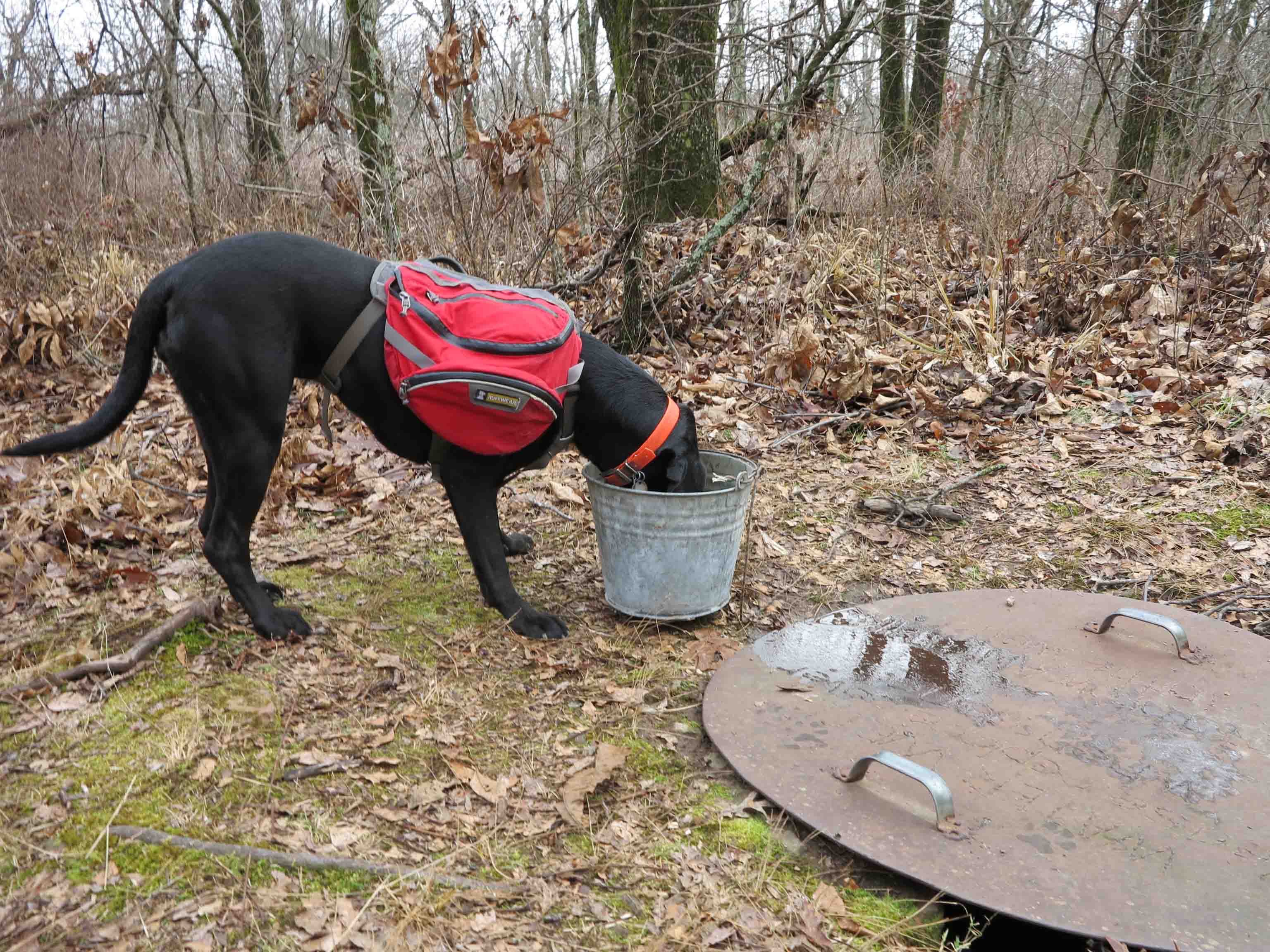
Below are a few photos from today’s hike.

IMG_0135rr

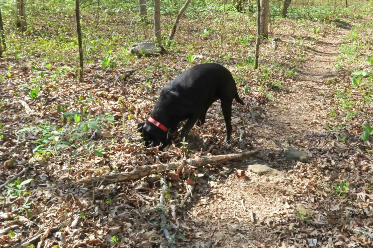
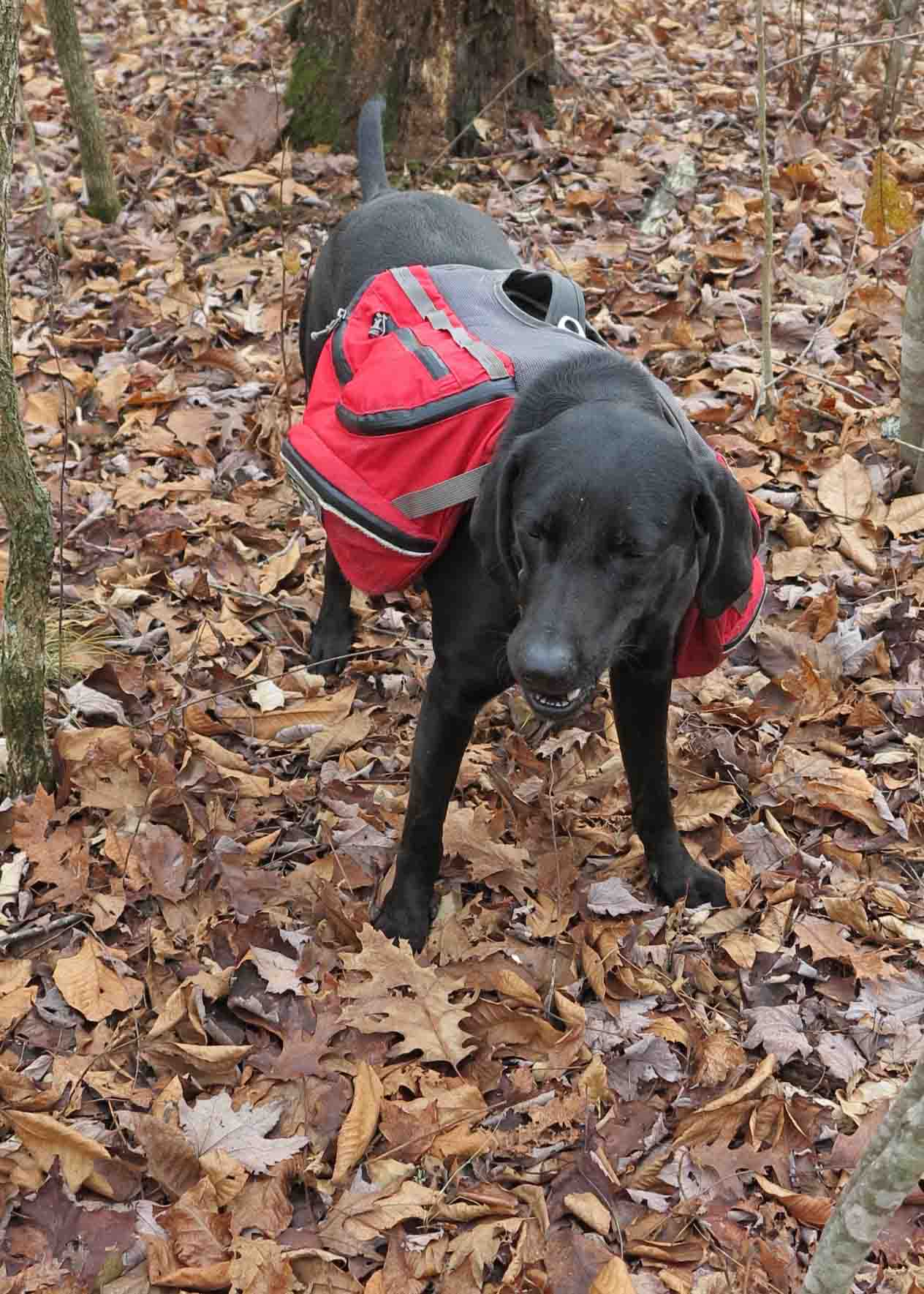
Hiker unsuccessfully seeking a mole.

IMG_0175rr

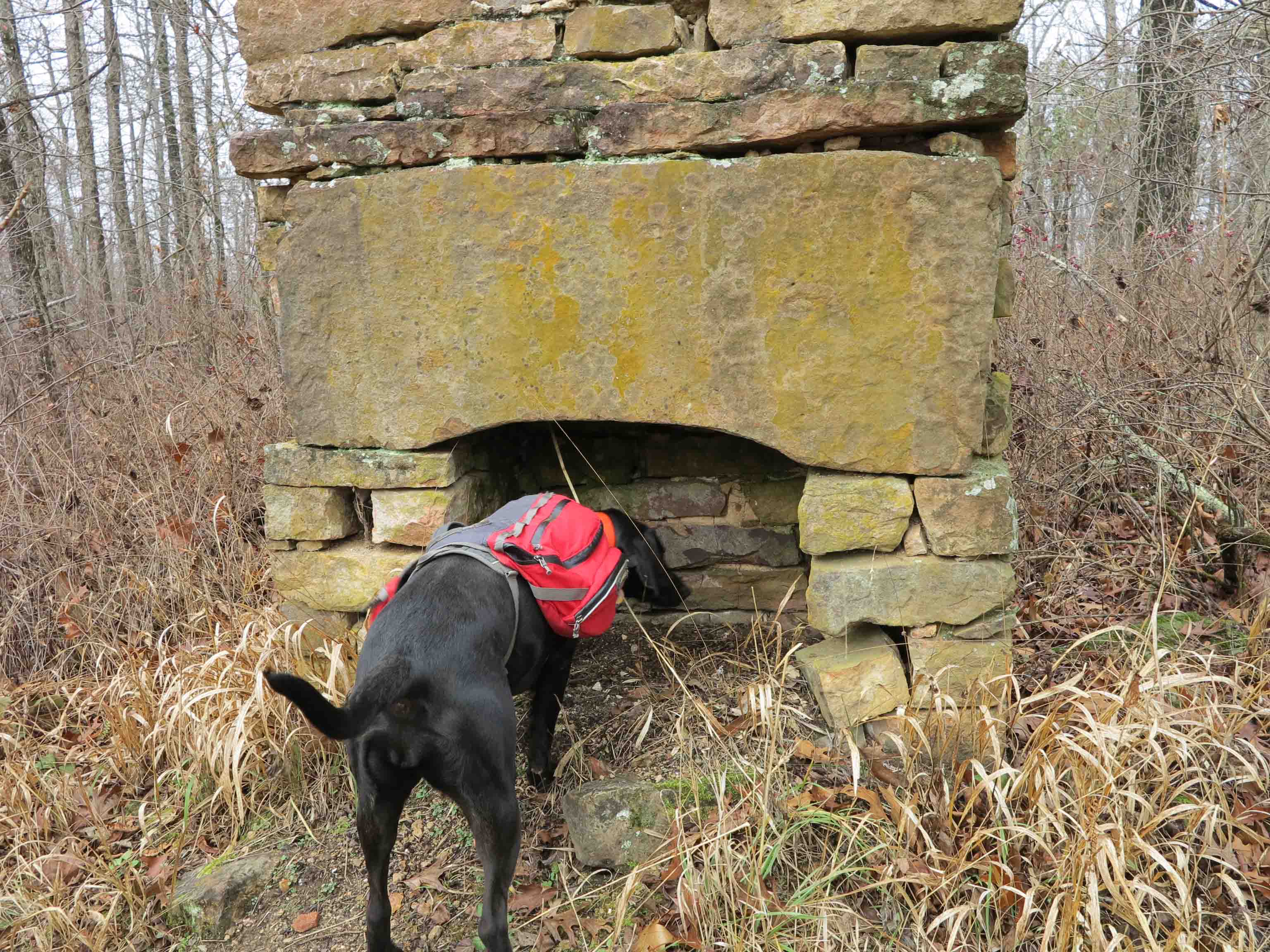
Hiker-dog inspecting a very clean campsite at Jack Creek. The group was from Kansas City, MO.

IMG_9875Hikerpaw23

I enjoyed giving out a couple of bookmarks with Hiker-dog’s “signature.”

IMG_0150rr

Wild iris on the trail

IMG_0145rr

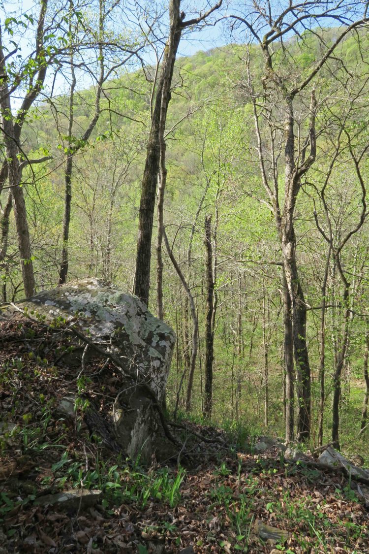
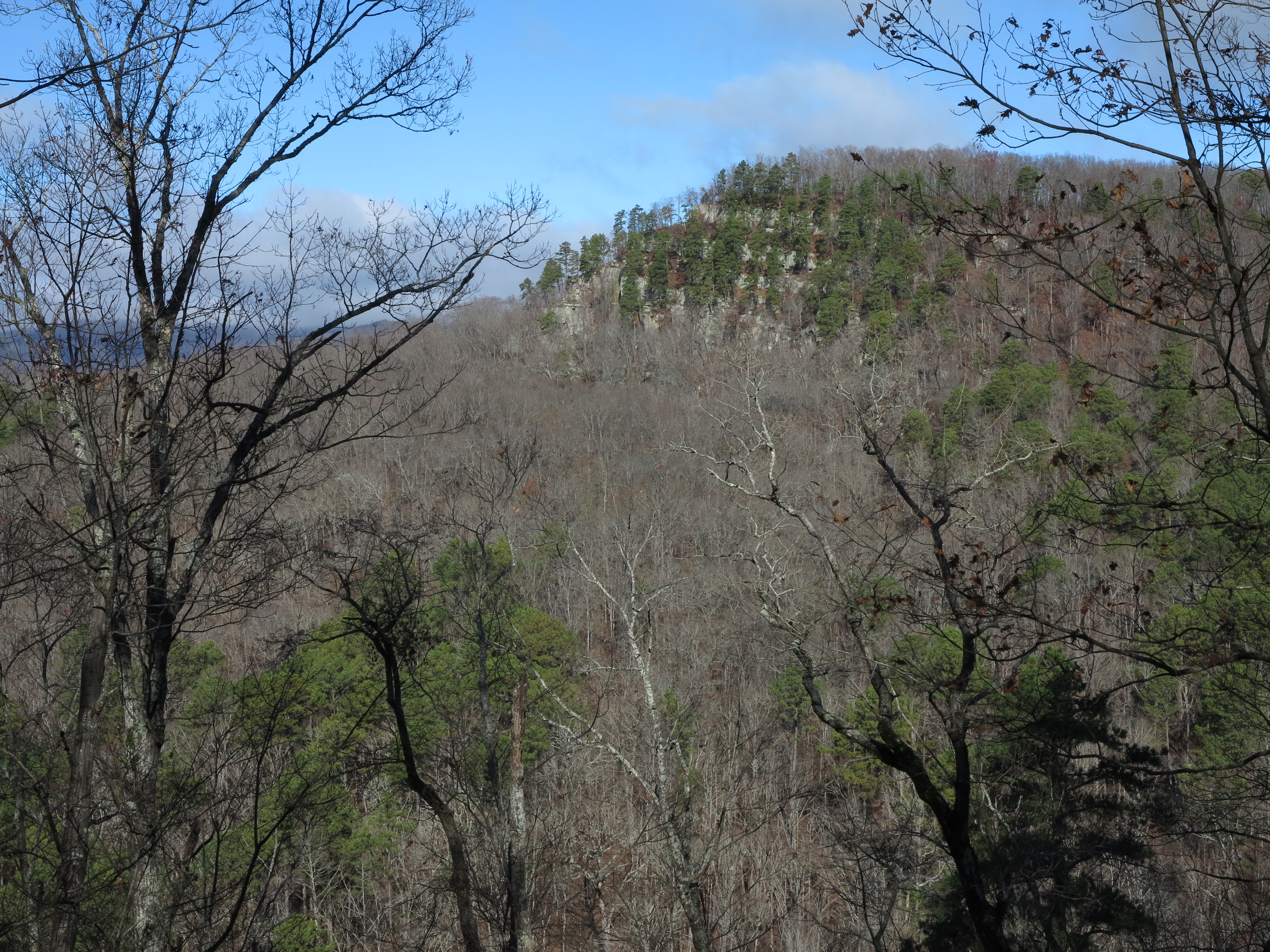
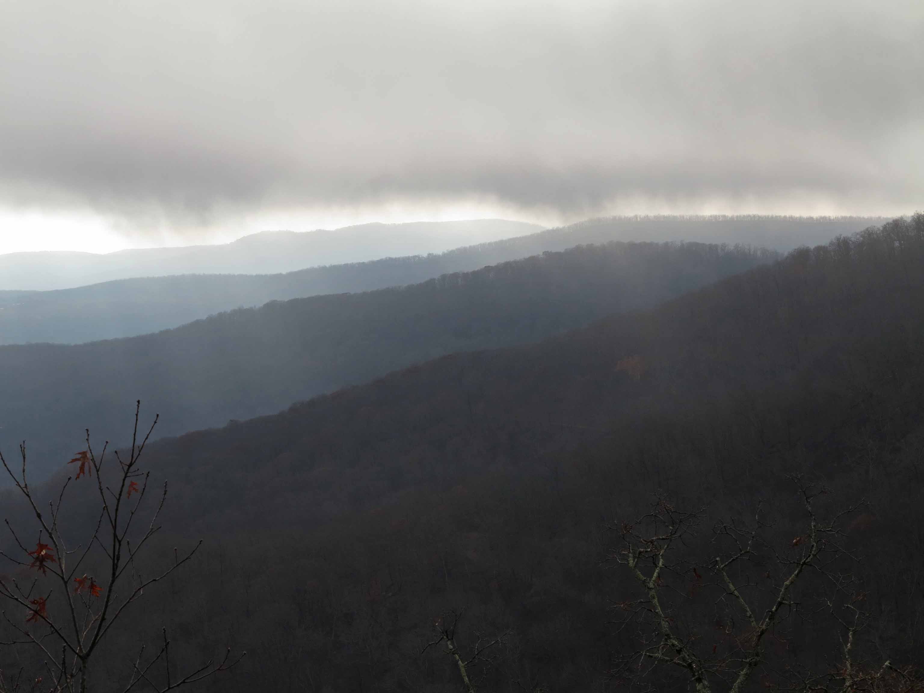
Looking into Jack Creek drainage and the mountain ridge on the other side with new leaves on the hardwoods

IMG_0156rr

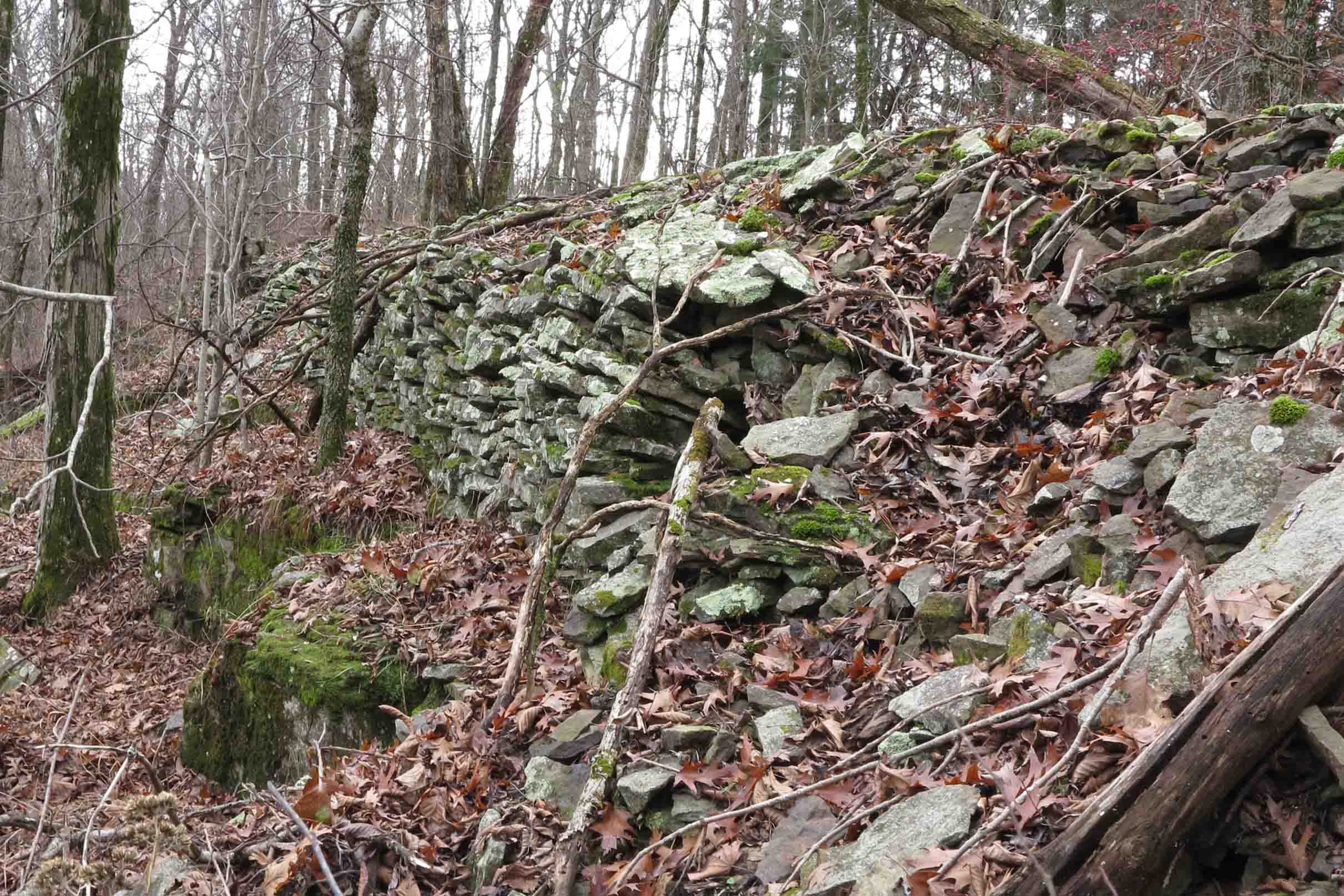
Boulders broken by time and the elements

IMG_0222rr

Crossing Frog Bayou that feeds Lake Fort Smith

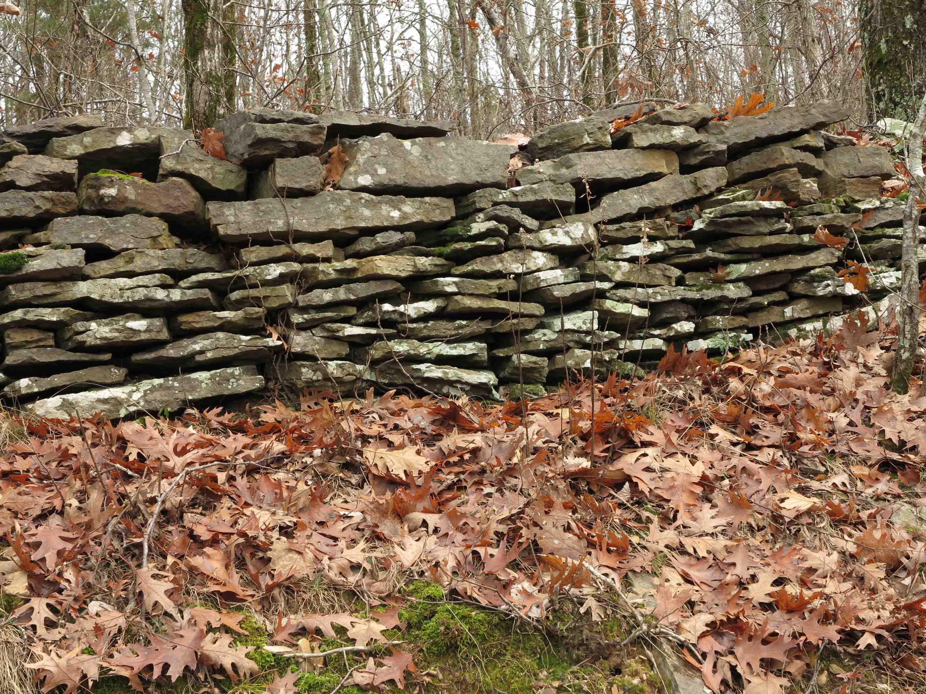
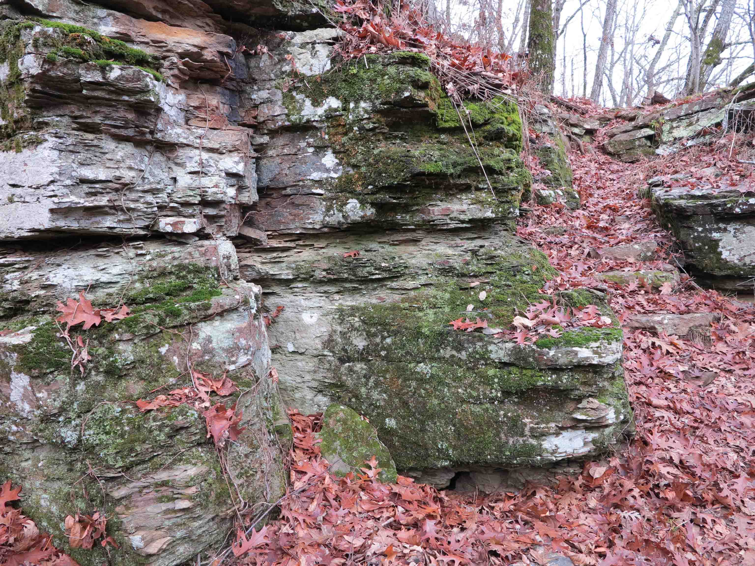
I’ll end with a few photos of history along the trail approaching Lake Fort Smith and next to the lake.

Just another day on the trail…

Abandoned house on Highway 23

Abandoned house on Highway 23

Part of the fun of hiking is driving to the trailhead. I just had to stop when this abandoned house caught my eye.

IMG_2447rr

I was looking forward to hiking with Mike LeMaster.  He is a “heavy hitter” when it comes to trail maintenance, but today he hiked without his chainsaw.  We had a good visit while on the trail.  He is shown here with his famous Toyota go-anywhere truck.  This little truck has slid into a couple of ditches and a barbed wire fence, but just keeps going and going.

IMG_2449rr

We decided to avoid running a shuttle and did the Redding Loop.  We passed this “would be” waterfall.  I thought about a kayaker who often said, “If there were water, we could float this.”   I thought to myself, “If there were water, this would be a waterfall,” but it was just a trickle today.  The little valley was a pleasure to see as the trail followed around its edge.

Spy Rock

Spy Rock

We didn’t make the spur to Spy Rock but enjoyed seeing it from a distance.  Below is a picture taken from the bluff a couple of months ago.  Sean is cutting up (carefully) on the edge of Spy Rock.

IMG_0998rr

After completing Redding Loop, Mike headed back to Fayetteville to catch a football game.  Hiker-dog and I had one more hike in mind.  We drove up to Morgan Fields Trailhead with the idea of doing an out-and-back to Hare Mountain, the highest point on the OHT.

Trail entrance from Morgan Fields Trailhead

Trail entrance from Morgan Fields Trailhead

IMG_2589rr

This out-and-back hike was on the Ozark Highlands Trail, passing mile marker 43, and 44.  I’m always pleased to see these little trail signs at road crossings.  I must associate them with good experiences on the trail.

IMG_2580rr

The trail passes a rock wall.  I wish these walls could tell stories of the people who built them.  Below is a picture of a small portion of rockwork that forms the base of a section of historic roadbed.  The trail follows this road for a short distance.   Over the years, some of the stone retaining wall has been torn up by falling trees but much of it has stood the test of time.  I can’t imagine how much physical labor went into building this little section of road.

Rock base of historic roadbed

Rock base of historic roadbed

IMG_2548rr

The trail climbs steadily and cuts through a couple of rocky crags.  It’s December 6, and I’m hiking in a t-shirt.  I was chilly but avoided breaking a sweat on the climb.

IMG_2502rr

Hickory nuts were plentiful on top of Hare Mountain.  I picked one up and tossed it for Hiker to chase.  To my surprise, she began to crack it with her teeth.  Half fell out on the ground, and she chewed up the other half.  I dug out some of the nut and tried it.  Pretty good but a lot of work.

The hickory nut Hiker cracked for me.

The hickory nut Hiker cracked for me.

Hiker chewing a hickory nut.

Hiker chewing a hickory nut.

IMG_2493rr

Hiker inspected the homestead chimney and well.  I’m always impressed with the mantel stone on this fireplace.  It appears that some mortar may have been used, but there are no firebricks.   I would like to know the date of construction.

Hare Mountain Well

Hare Mountain Well

I peeked under the well lid to check the water level.  It was about two feet from the top and pretty cloudy as usual.  Rain water had collected in the bucket.

IMG_2540rr

Even on foggy days, the view from Hare Mountain is a joy to see.  A quick hike down the mountain and we called it a day, another very good day on the trail!

If you’d like to see more of the Ozark Highlands Trail, here’s a slideshow from my thru-hike last winter.