 While working on Five Star Trails: The Ozarks, I scouted several trails that followed portions of Missouri’s Ozark Trail. Those experiences left me wanting more.
 Using the Ozark Trail Association website trip planner, I entered how many days were available for the outing and decided on a south-to-north trek following the Eleven Point, Between the Rivers, and Current River sections for a total of 87.6 miles. I rounded our total trip mileage up to 88 since we poked around in the woods a couple of times where the trail became difficult to follow, mostly around the Peck Ranch section.
On Friday, November 2, I drove up to Fayetteville and picked up Bob, then drove about 5 hours to Powder Mill, east of Eminence, Missouri. Jerry Richard (Richard’s Canoe Rental) met us promptly the next morning and shuttled us to the Western Terminus of the Eleven Point River section close to Thomasville. Our itinerary was simple from there. Just walk 88-miles back to my truck at Powder Mill (AKA Owls Bend on the Current River).
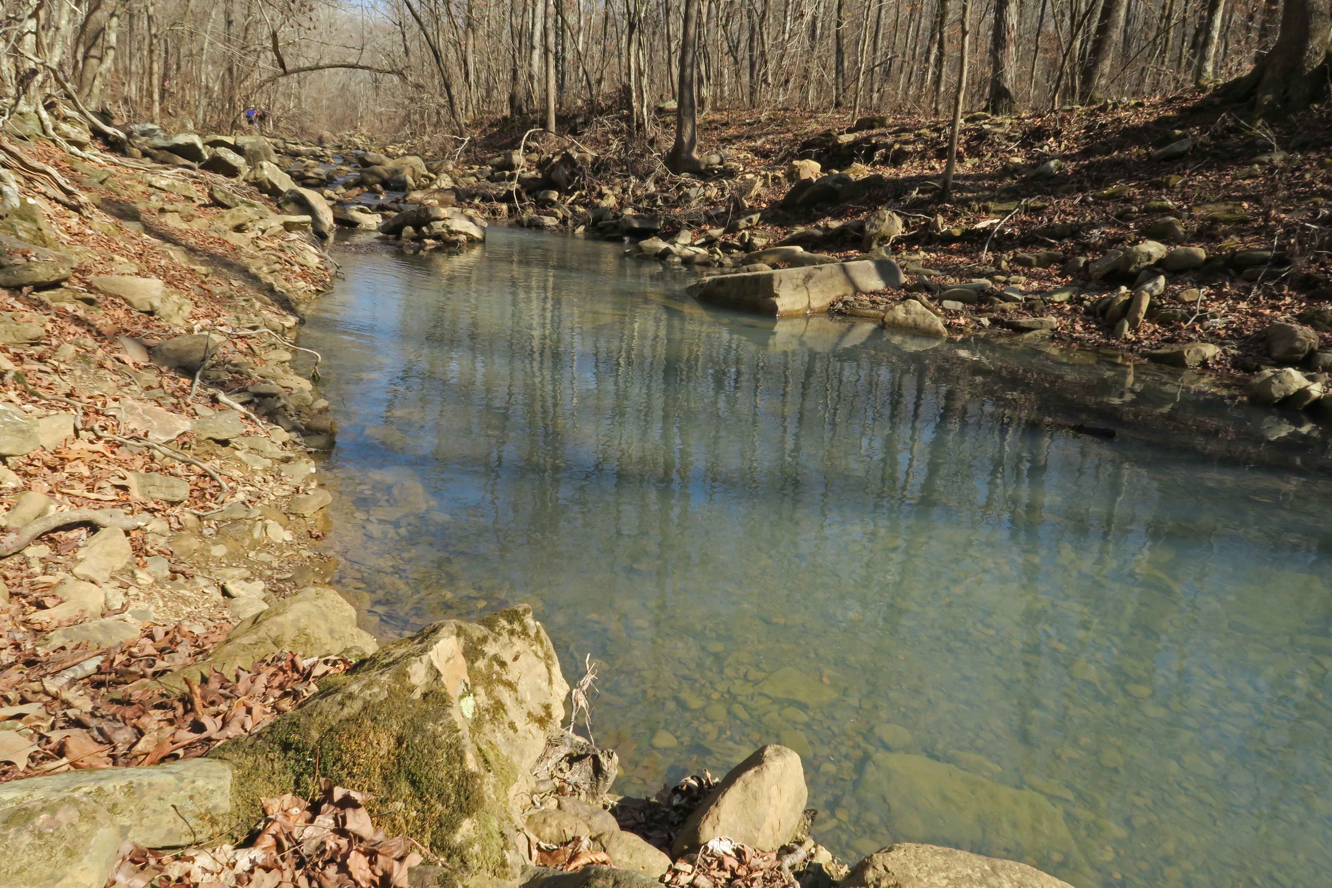
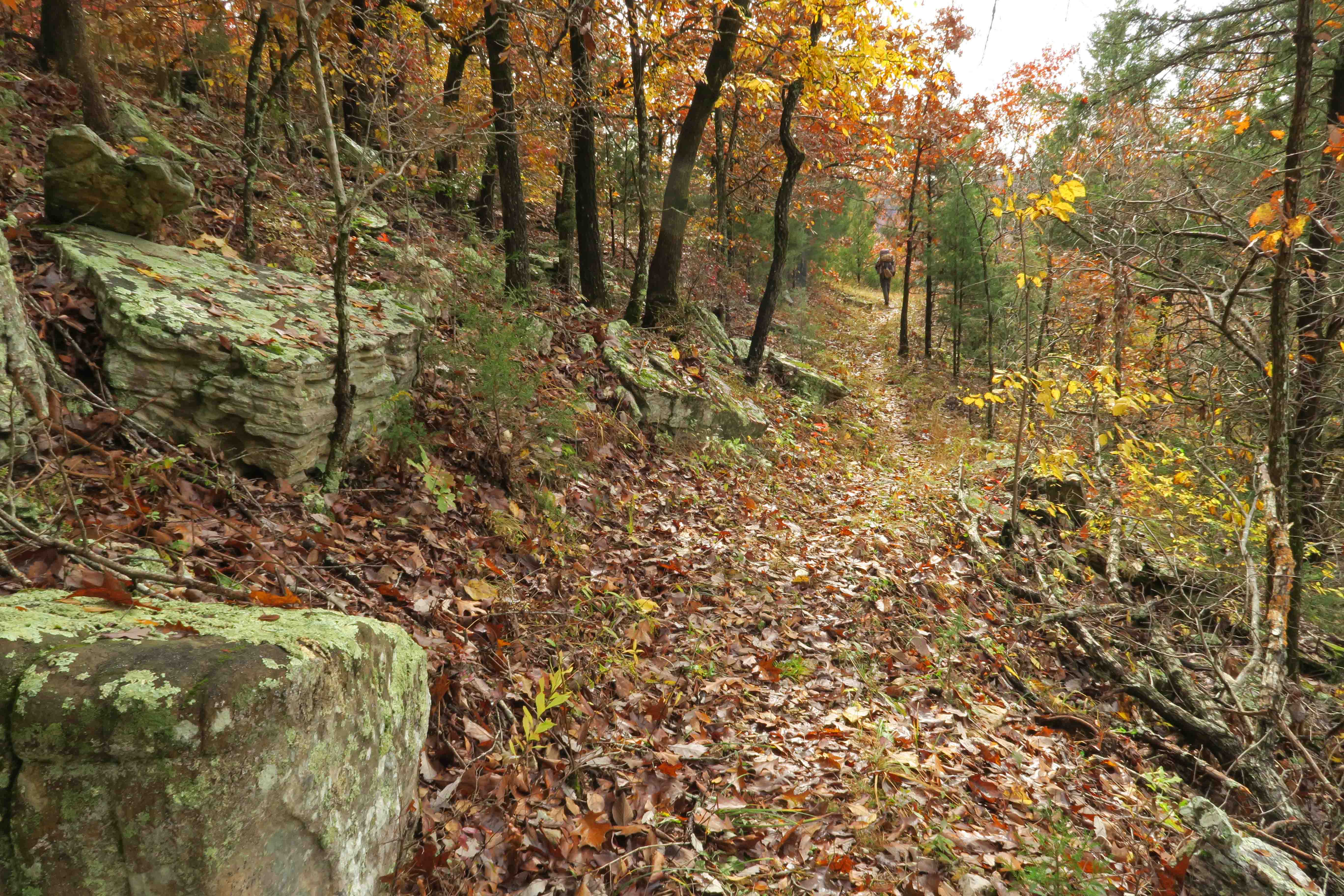
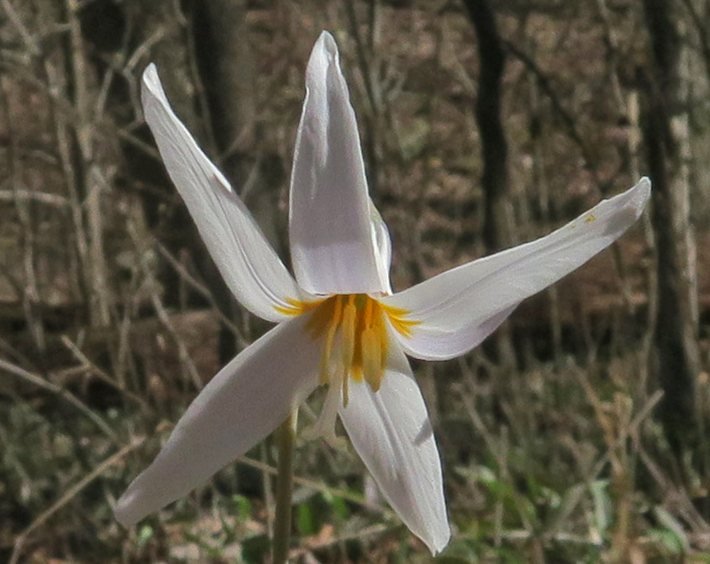
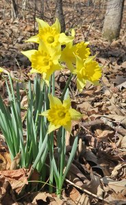
 As we set foot on the trail Saturday morning, we were immediately captured by the fall colors. The first day flew by, and we arrived at Bockman Spring early in the afternoon.

Bockman Spring
The cave is closed, but a photo could be taken from the door frame to the bluff built by earlier inhabitants. I used my headlamp to “light-paint” the cave’s walls during a 15-second exposure. We filtered our water from the PVC pipe that carried water from the cave to a metal catch basin in front of the spring.
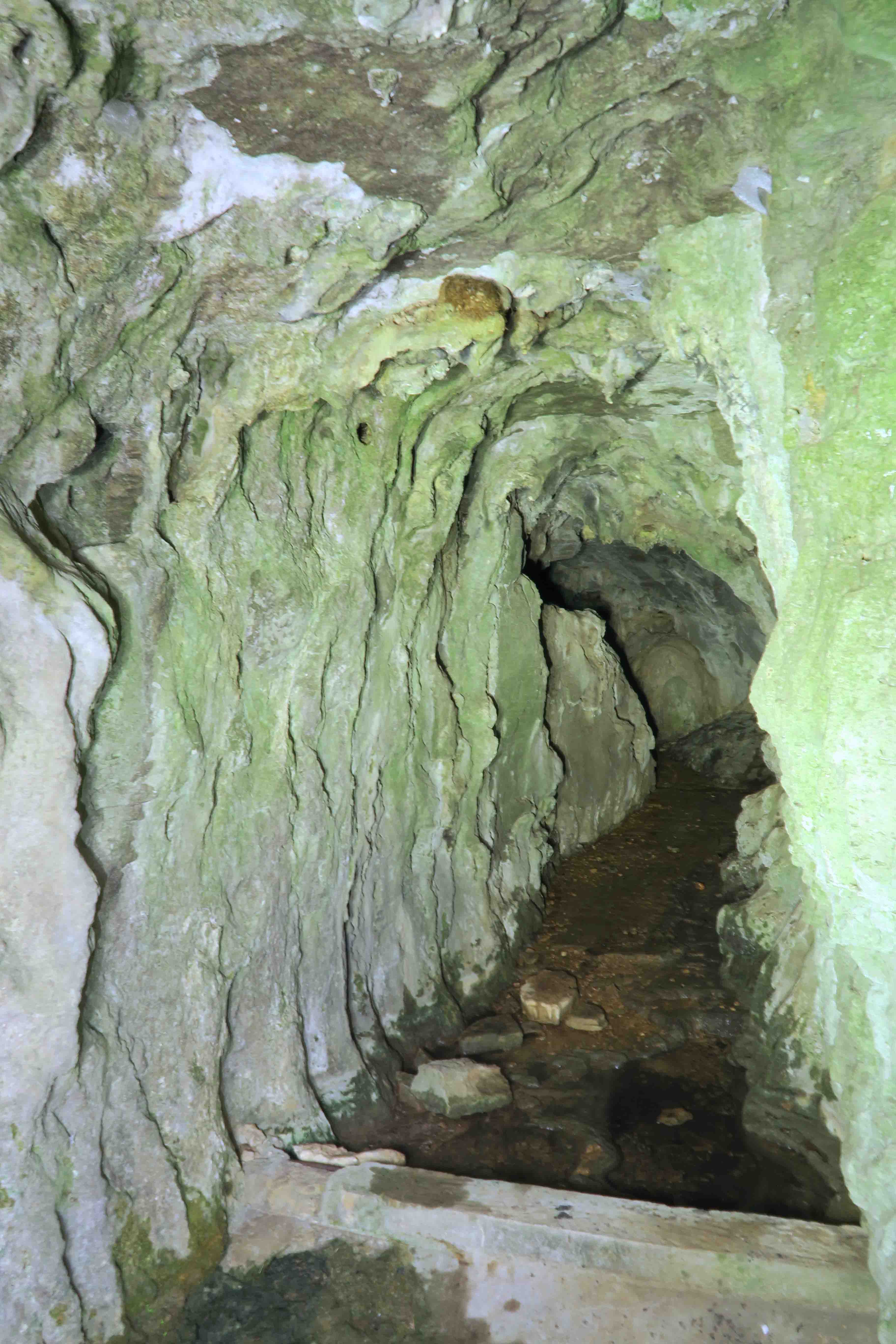
Bockman Spring
While preparing our evening meals, several friendly locals on four-wheelers drove up, and we visited about our itinerary. They had many questions about the trail and the distance we would travel over the next few days. The first day for gun hunting would be November 10, but we had hunter orange for the final days of our trek.
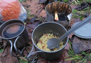
Coffee, eggs and bacon bits
After a rainy night, I woke to the silhouette of trees against a dull morning light. Drops of water falling from nearby trees sounded like hundreds of little animal steps. I prepared egg crystals and bacon bits with coffee while warming under my quilt.
Packing lightweight food that would satisfy and provide fuel for the miles took some planning, but I was pleased with the results.

Chicken, rice, and veggies
Mountain House dehydrated chicken combined with Knorr meals or instant potatoes made excellent dinners! The addition of selected dehydrated veggies added flavor and balance. I’m looking forward to including examples (and samples) from my backpacking menu during my March 3rd, 2019 presentation for the Friends of Hobbs State Park.
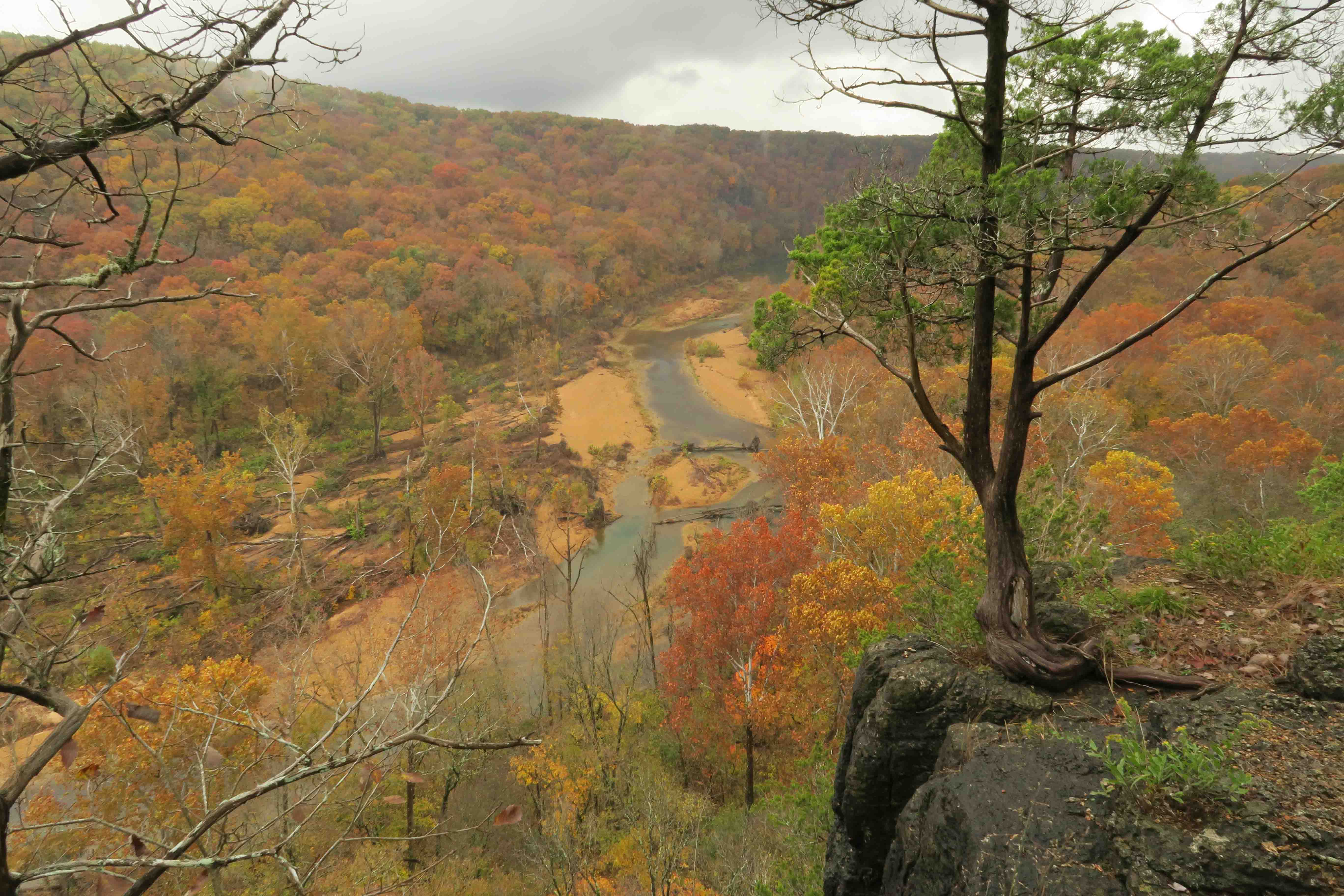
My small umbrella was put to good use as drizzling rain fell on and off the next day. I began to walk a familiar trail included in my guidebook as we passed the McCormack Lake spur. We stopped for a break at a view of the Eleven Point River I’d looked forward to seeing again.
 After passing Greer Recreation Area, we followed the upland route. We toured the well maintained Bristol Cemetery that contained grave sites from the 1800s and early 1900s.
After thirteen hilly miles, we made camp four miles into the Between the Rivers Section. As the sun went down, coyote howls echoed through the surrounding woods with a stereo-like high fidelity purity.

The tarp combined with bivy sack as a groundcloth, air mattress, and down quilt kept me dry and warm. I like the closeness I feel with surroundings when using a tarp. If strong thunderstorms had been in the forecast, I might have carried my tent instead.
Monday began cold! Rain started around 11 a.m. and continued throughout the day, slacking up around 6 p.m. My camera was safely stowed inside my waterproof stuffsack so no photos from that day.
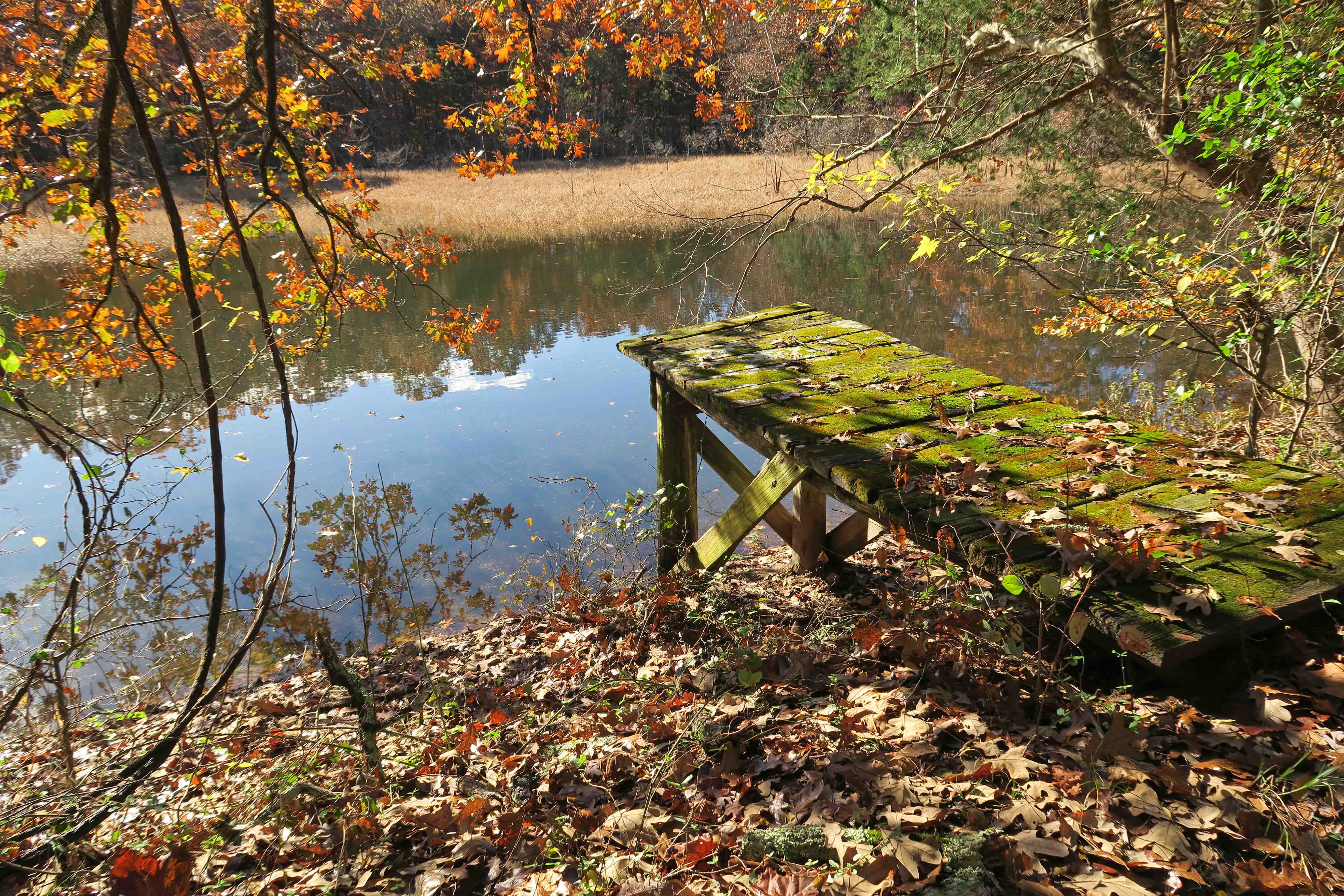
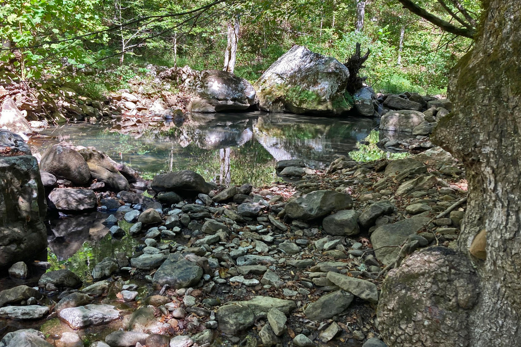
Cotham Pond
Tuesday treated us to more water than we’d expected on this typically dry section of trail. We found good water and sunshine at Cotham Pond. A starry night and strong coyote songs followed that evening.
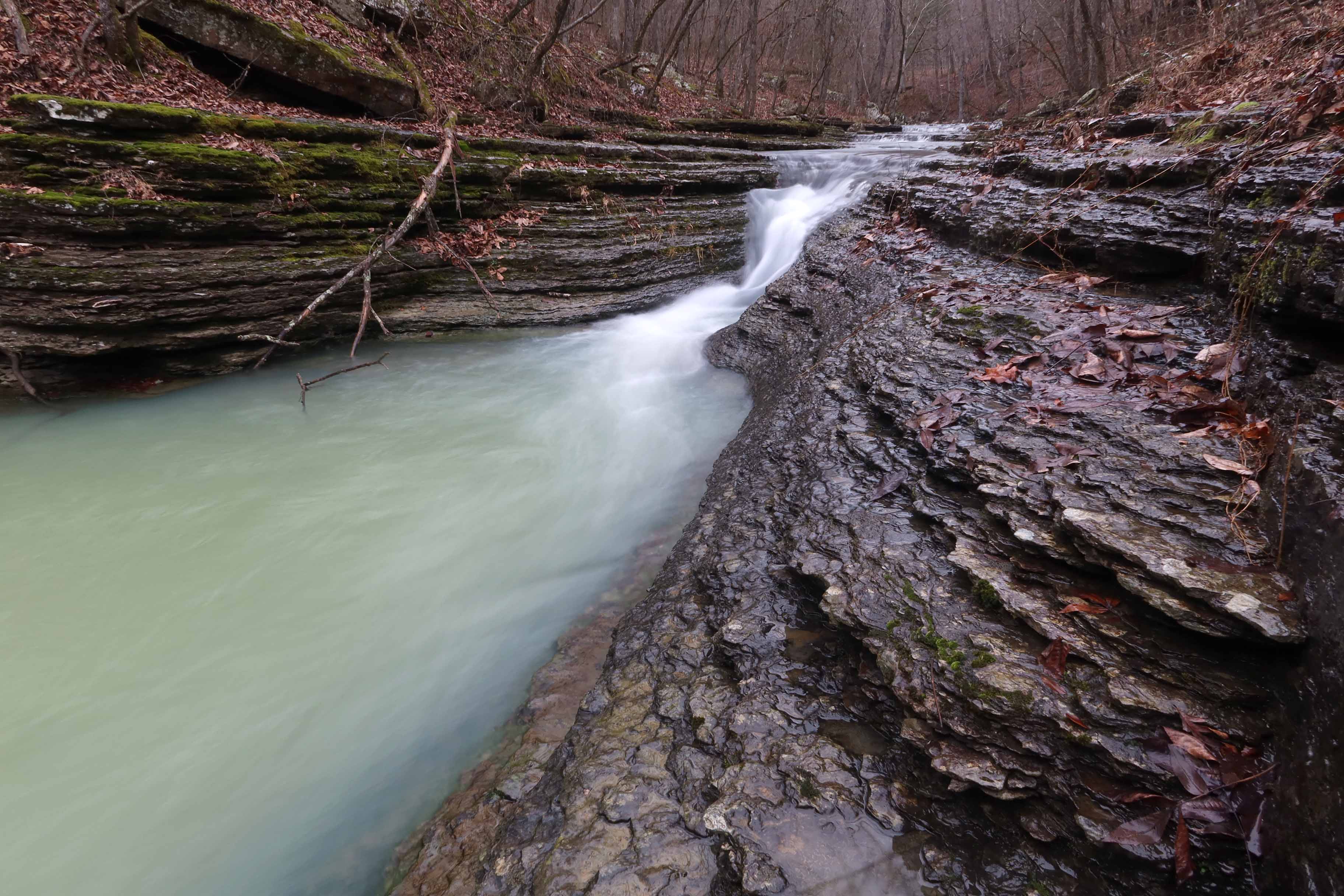
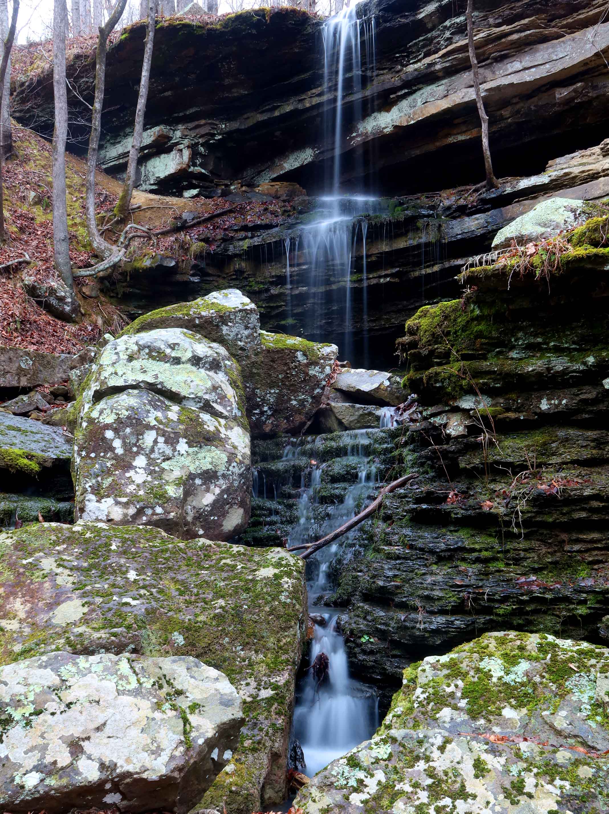
The next few days sailed by as we covered miles and found water plentiful along the trail. Mint Spring was a special place with its soft green color.

Mint Spring

Mint Spring stream
We didn’t see any elk in the Pike Ranch Conservation Area, but saw more deer than we could count. The trail got sketchy at a burned out area, but we found our way. Trail markers were sometimes plentiful but more often spaced so that they reassured us we were on the right path. As part of our planning, we passed through Peck Ranch a couple of days before the route would close for hunting season.
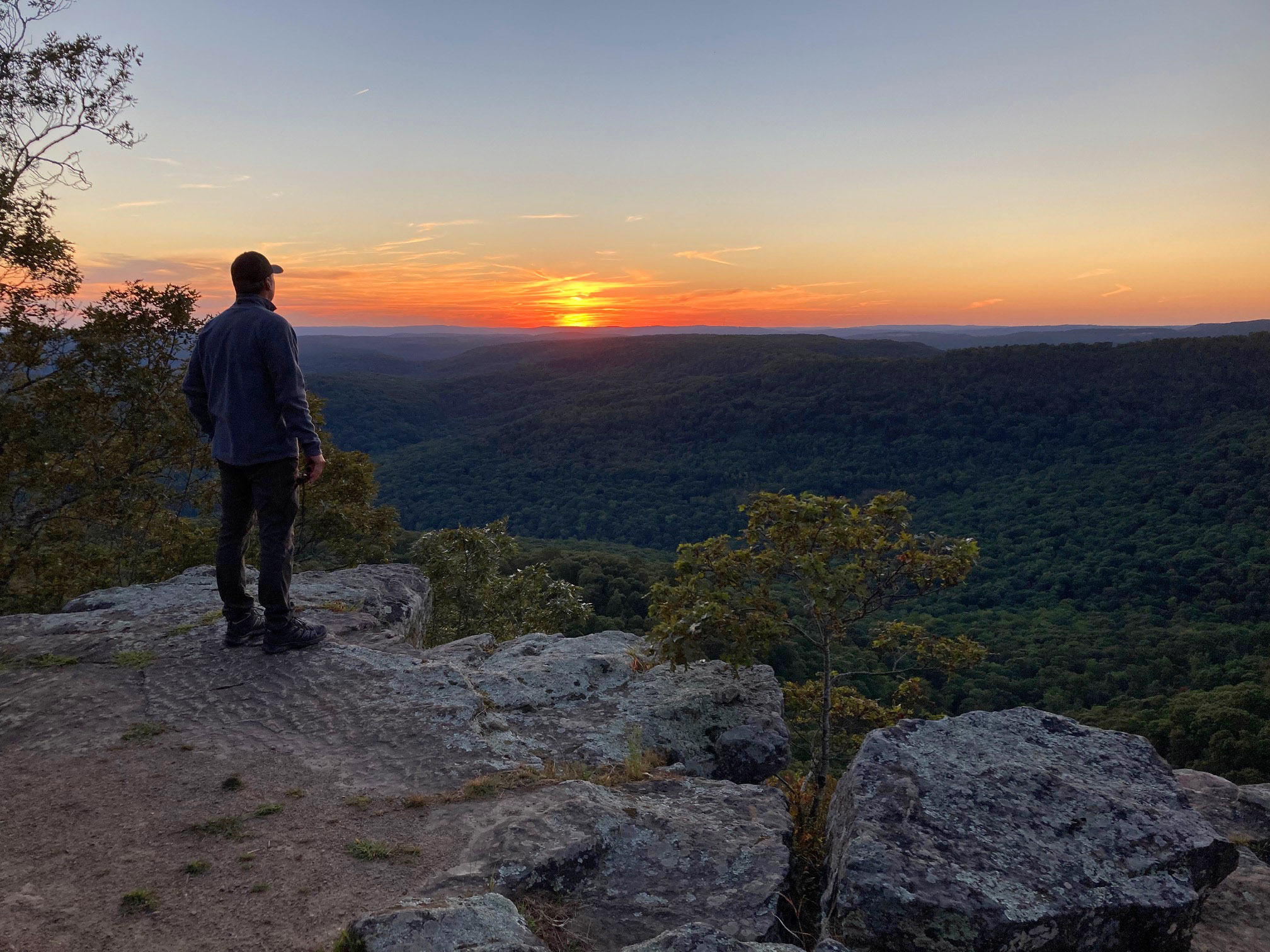
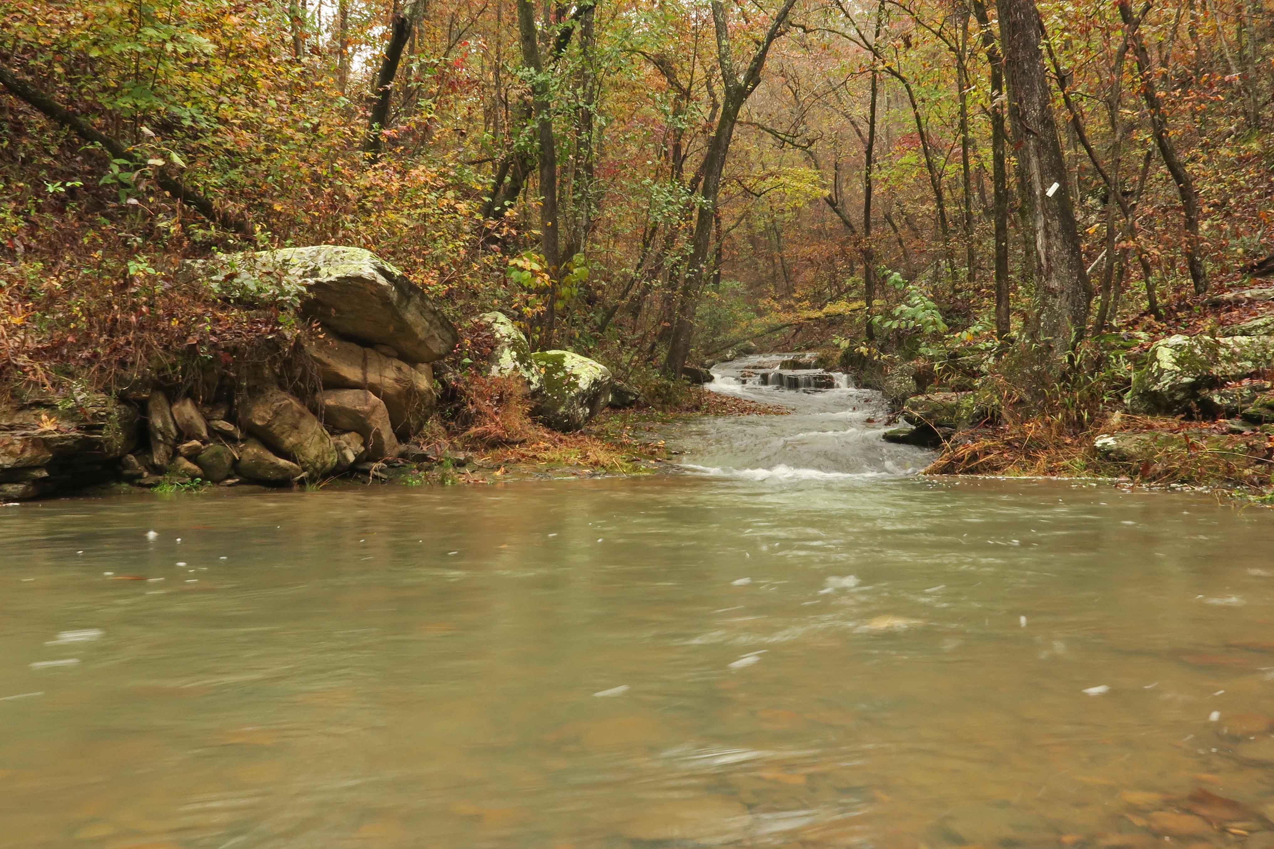
The trail became easier to follow once we got north of Peck Ranch. Climbing up Stegall Mountain was exciting as distant views revealed themselves while we walked through stunted, windblown oaks. We spent a few minutes on the glade mountaintop taking in the beauty then continued toward the Rocky Creek section.

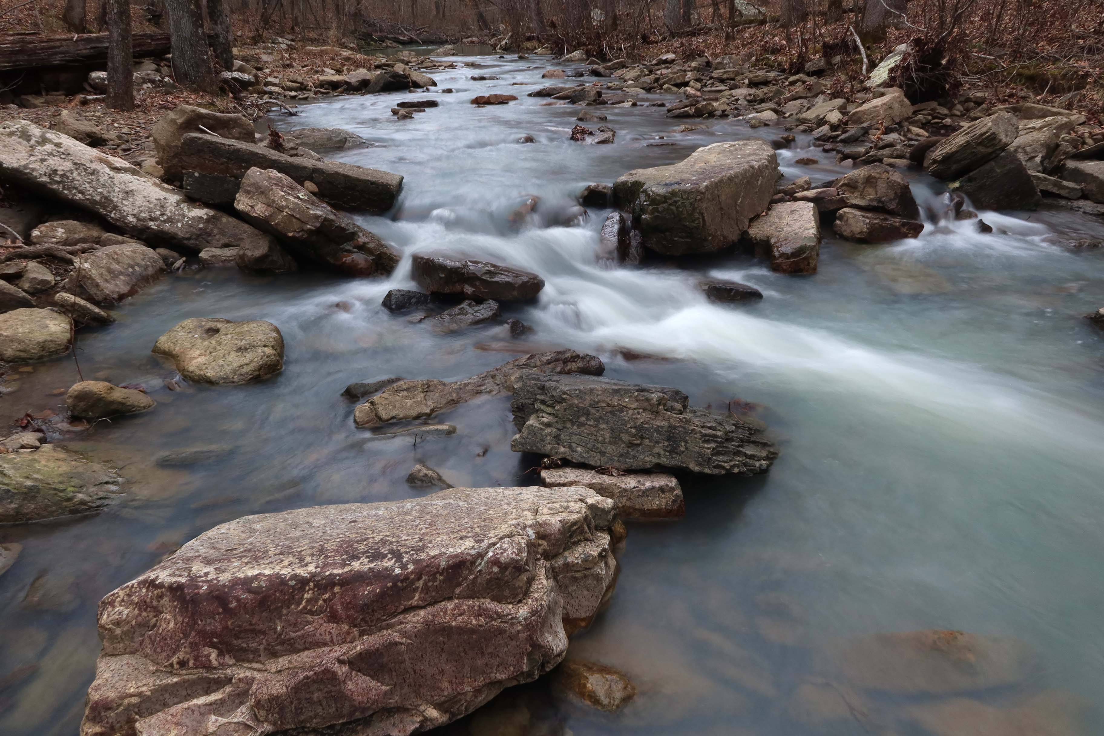
Rocky Creek held wonderful water. I treated it lightly with some Aquamira drops. Our seventh and last night on the trail was our coldest yet. The next morning was a delightful chilly walk to Klepzig Mill followed by several cold creek crossings. Bob said, “The cleanest parts of our bodies are definitely our feet!”

Klepzig Mill

Klepzig Mill


The water of Rocky Creek and adjacent creeks was clear and cold! I enjoyed watching this small leaf dance on the surface of the water and follow its shadow on the rock below.
We walked across a field of frost flowers on this sunny morning. I couldn’t resist the temptation to take a bite from one of the large ice formations.

My first taste of a frost flower
As we approached our final Current River crossing over the Hwy 60 Bridge, a pickup truck pulled up and one of our deer hunter friends from day one at Bockman Spring greeted us. We enjoyed a short visit before continuing to Powder Mill Trailhead and our trip’s end. The only backpacker we met in eight days was Joe B. going the opposite direction early in our hike.

Current River from the Hwy 60 Bridge
We looked forward to a good meal but drove east for a while before stopping at Mountain Grove to have a delicious dinner at Grove Family Restaurant. Great service! Great food!

Bob and Jim
We were thankful to conclude our colorful trek on the Ozark Trail still feeling healthy and strong. Maybe we’ll return and explore more miles of this beautiful trail in the future. Like my dayhikes from three years ago, this first longer walk on the Ozark Trail left me wanting more. Check out the links at the end of this post to read of our other long hikes.
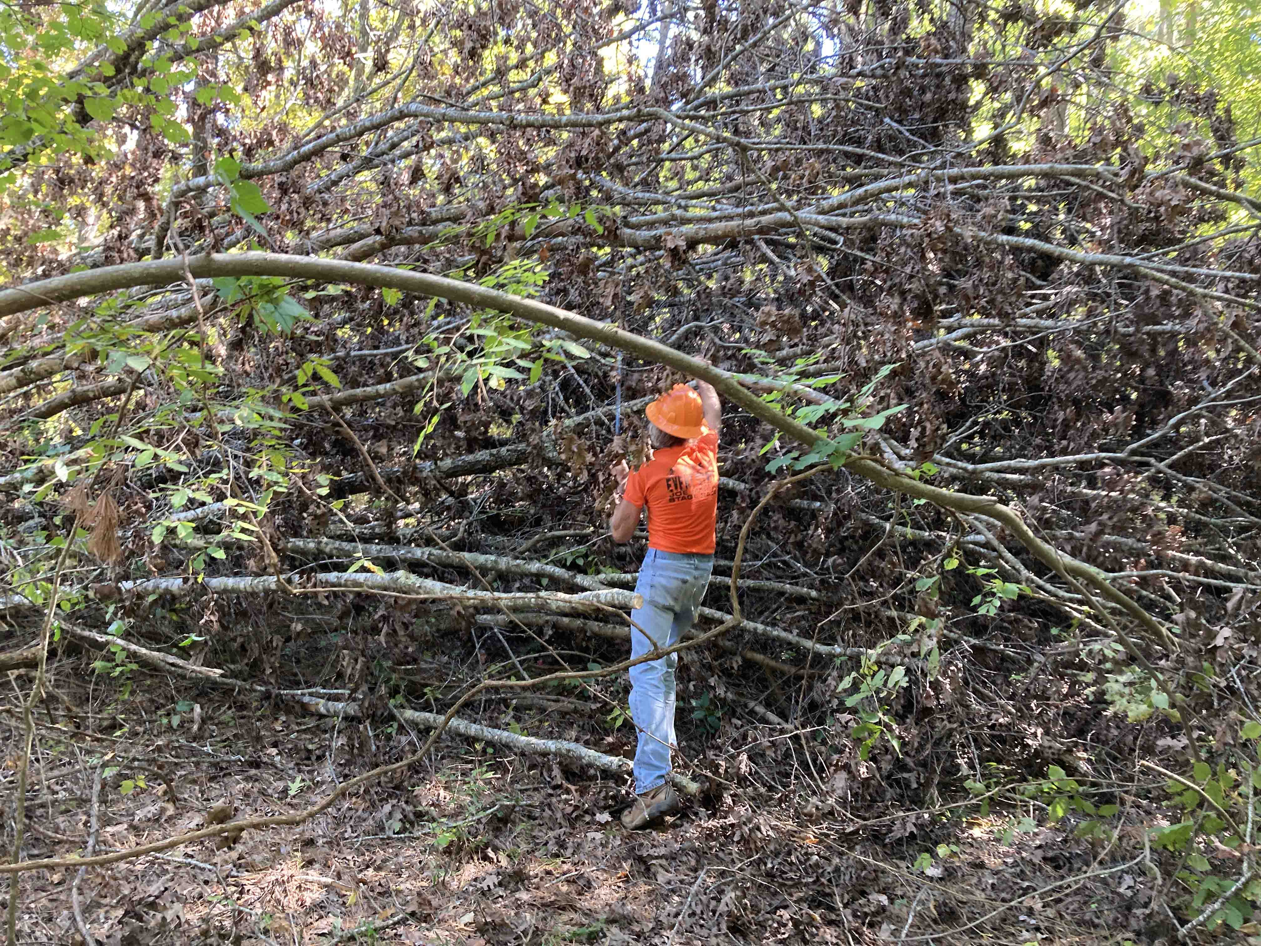
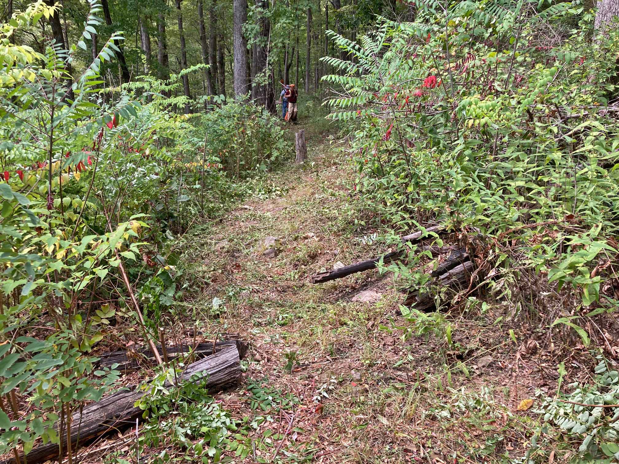
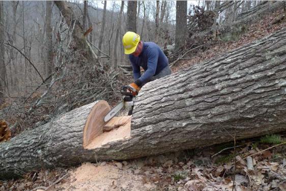
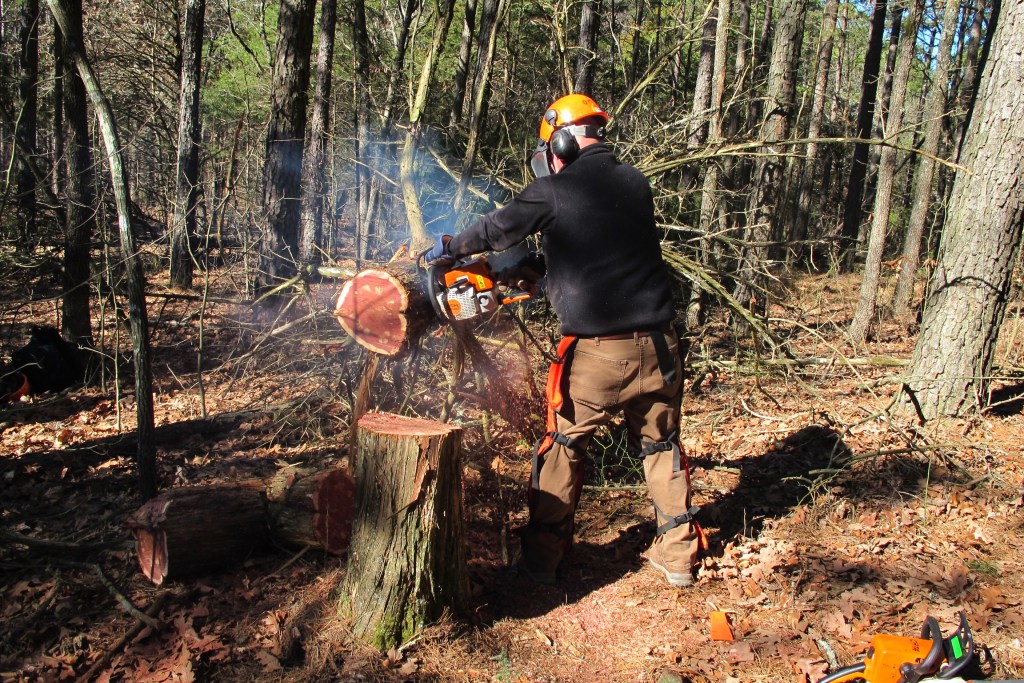
A note of thanks: We passed hundreds of cuts, old and new, that cleared our way on the trail. We saw areas recently maintained and the white tree blazes were essential to following the trail. Bob and I have adopted sections of the Ozark Highlands Trail in Arkansas, so we appreciate the work it takes to keep a trail open. Thank you to the Ozark Trail Association (OTA) and the many volunteers who give their time to Missouri’s Ozark Trail!
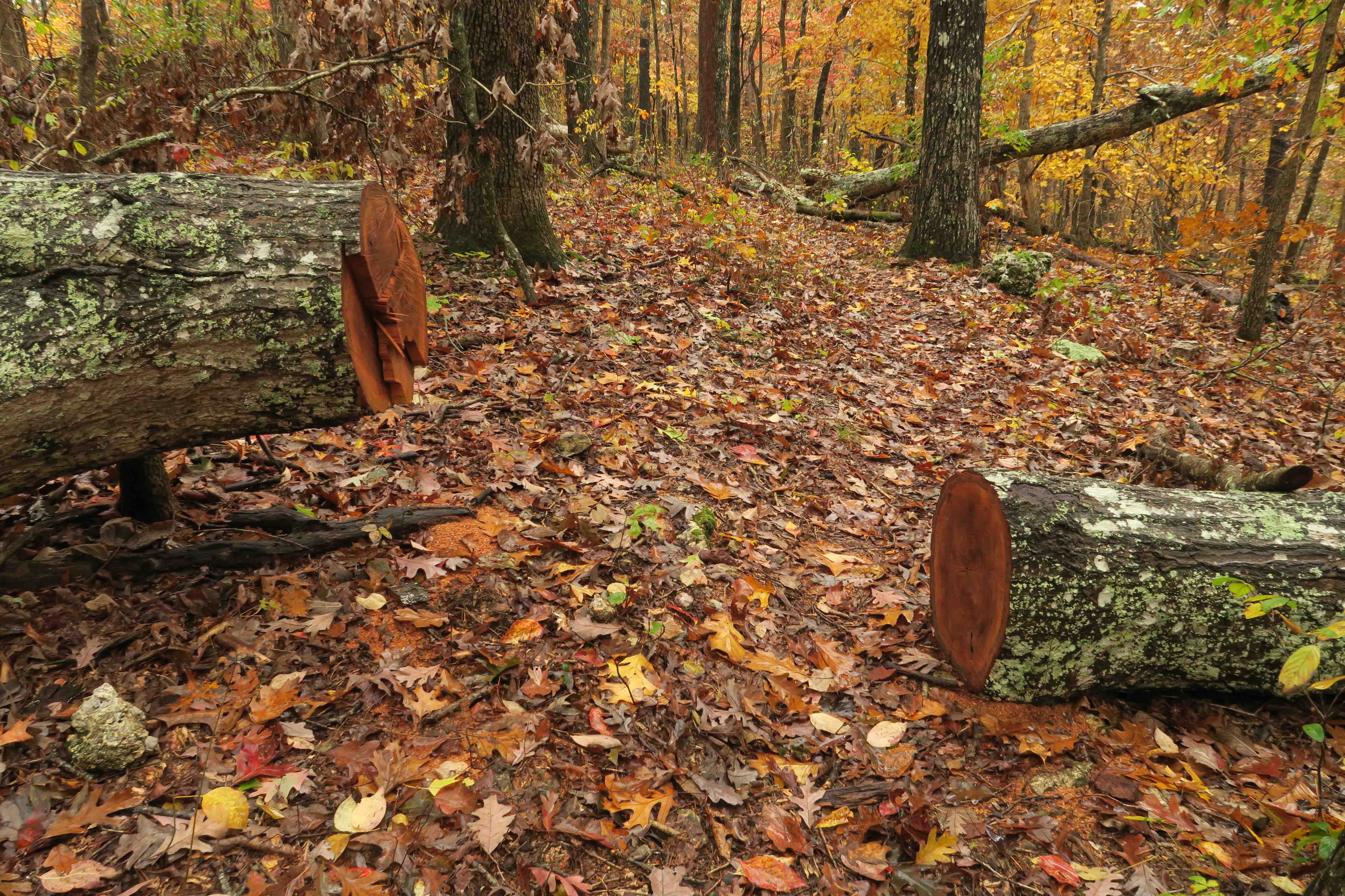
Evidence of volunteers with the OTA
Walk…Eat…Sleep…Repeat – The Ozark Highlands Trail of Arkansas
A Few Steps in Paradise – The John Muir Trail in the High Sierras of California
Ouachita Trail’s First 51 Miles at the (Im)Perfect Time (Includes links to posts that complete the 223 mile trail)

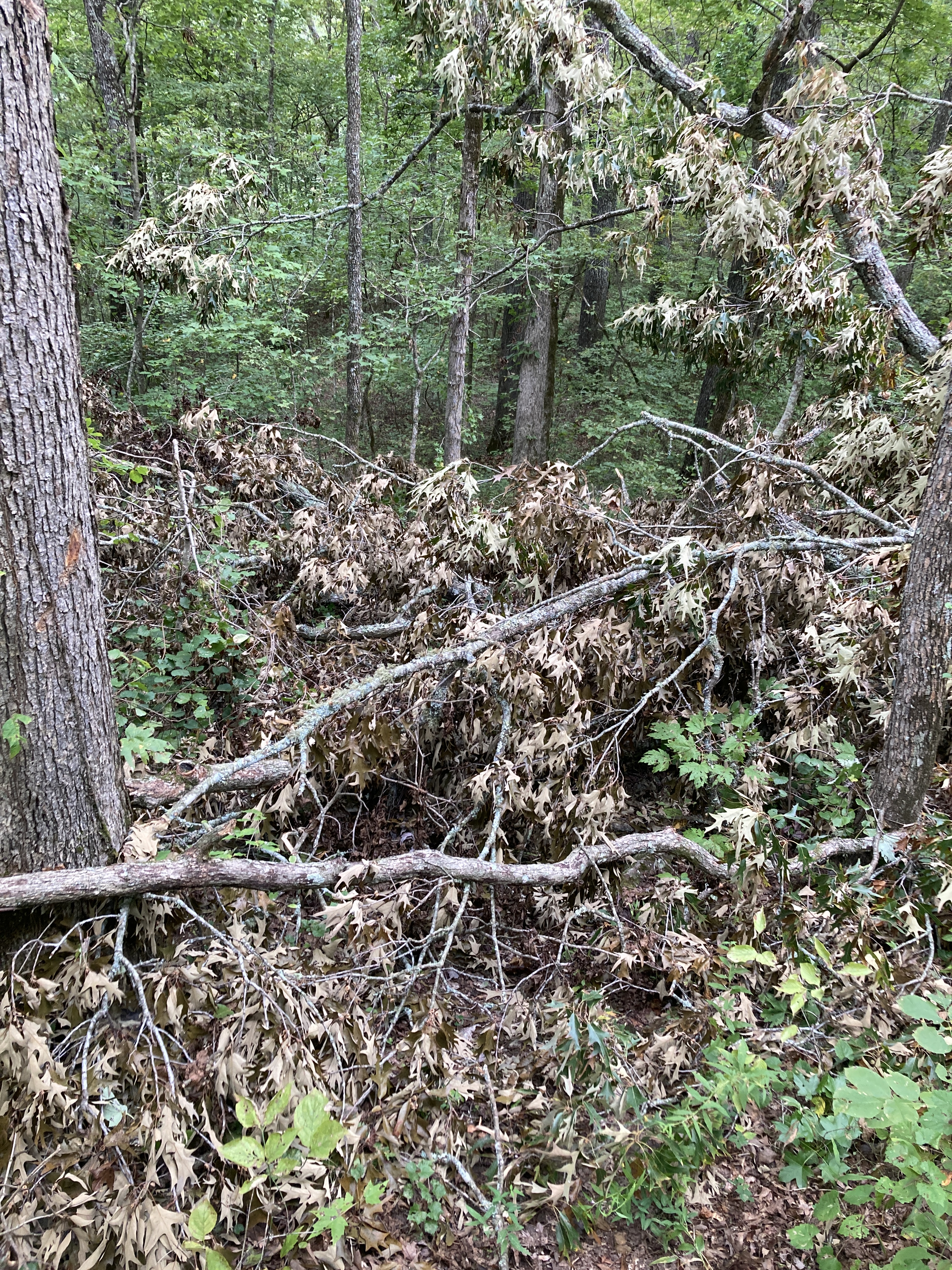


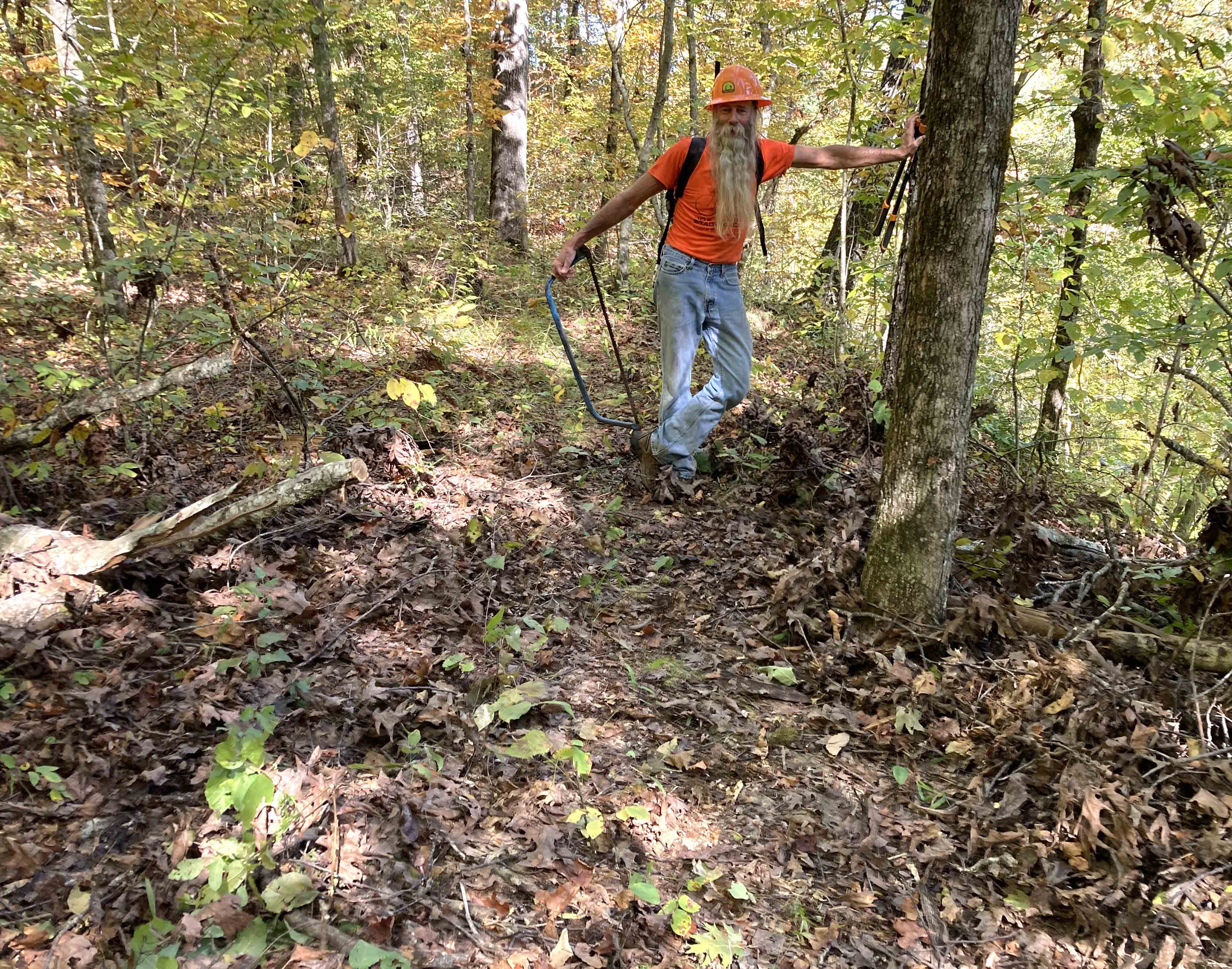


 I stopped and used my small handsaw on a few limbs and trees across the trail. Love that little saw and am amazed at what it will cut. My task on this evening was to look for trees that might need to be cut out by an expert sawyer, so I stopped to set GPS waypoints and make quick notes where future cuts might be required.

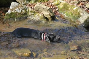
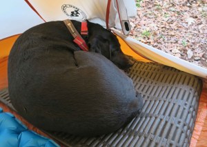
 Hiker-dog provided lots of entertainment on the dark portion of our hike. Two reflective eyes kept popping up out ahead of me as she turned to be sure I was following. These eyes helped me stay on the trail a couple of times, especially when I crossed a creek and then wasn’t sure which way the path went afterward. Sure enough, eyes could be seen staring at me as if wondering what I was waiting for. I took note that any future hikes after dark should include Hiker-dog and she added to


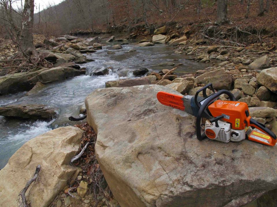


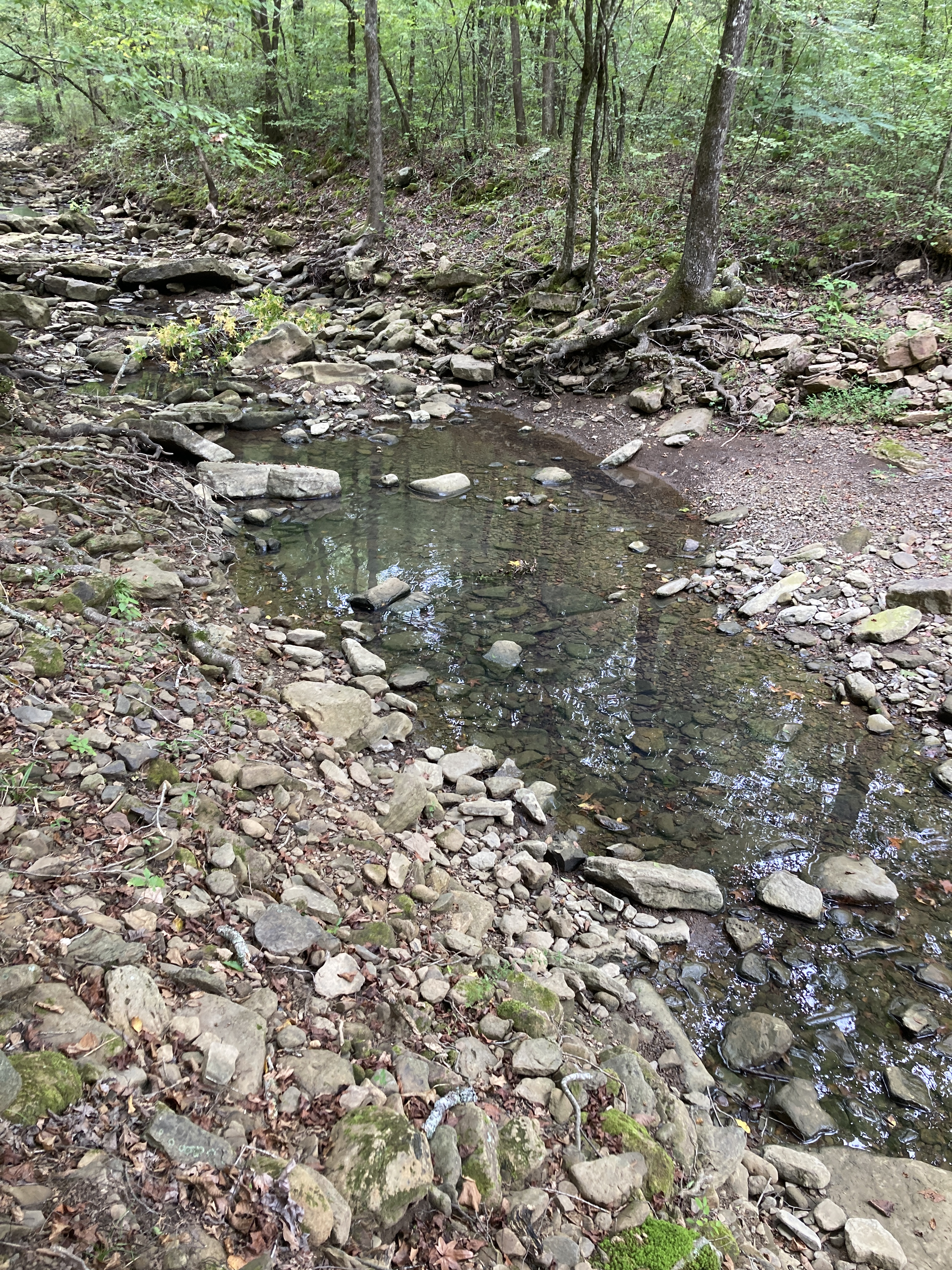
 Water was plentiful. This was my first filterless backpacking trip using only water treatment drops, so I enjoyed “selecting” my water from any number of small streams we passed.
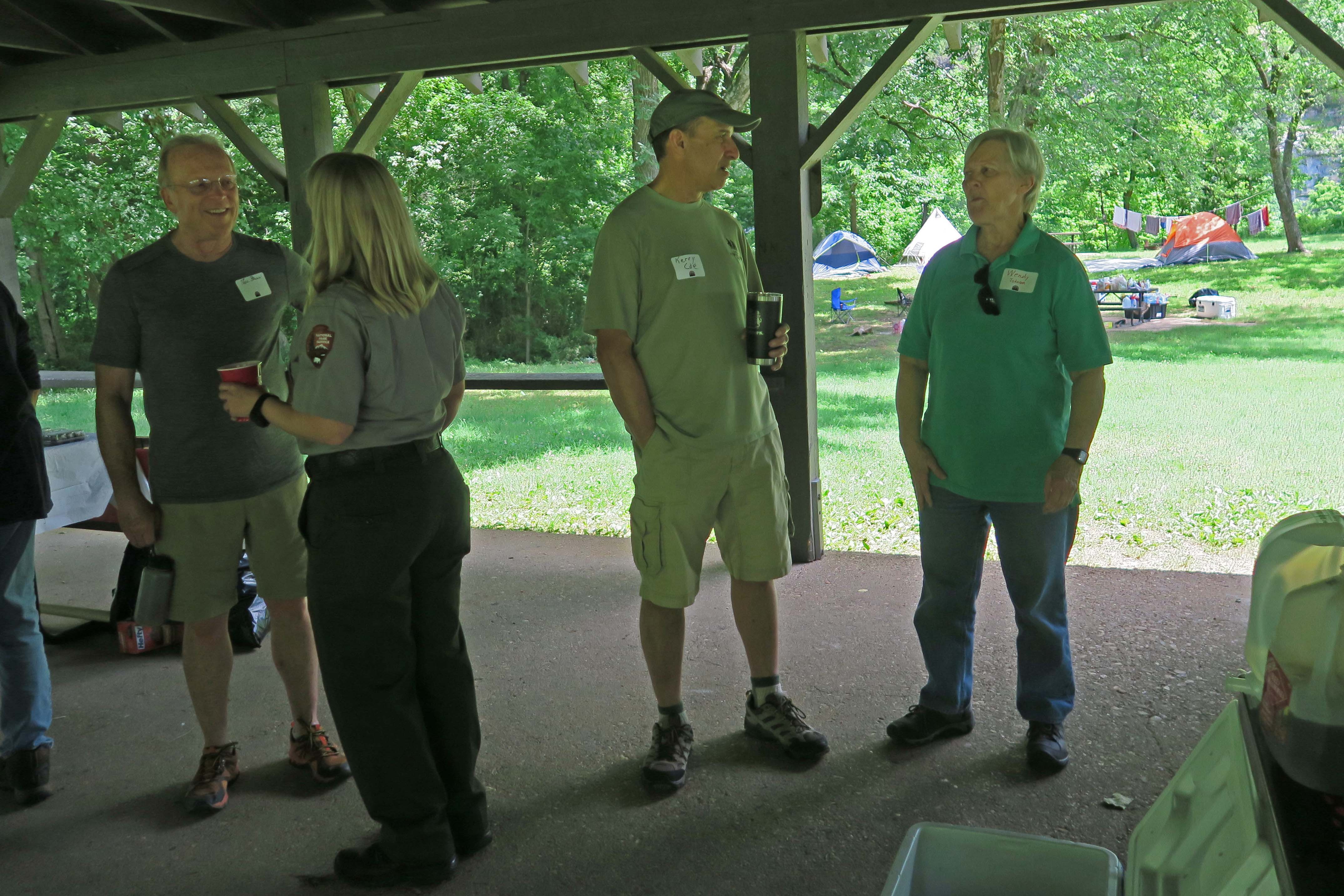
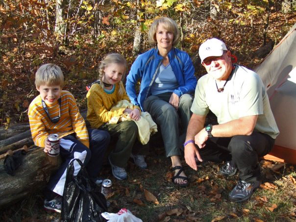
 We met a family camped at mile 10. While visiting with the father, Luke, I was impressed with his two young daughters’ ability to run without pain


 I was surprised to see a brand new trailhead kiosk. At some time in the past, I emailed a request for a kiosk here since the Dockery Gap Trailhead served as the main entrance point during construction of the Lake Fort Smith State Park. I hope it lasts and is left alone.


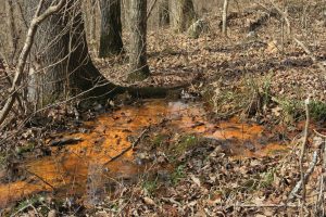 The always-reliable, “Rusty Spring” was flowing as usual. Hiker-dog passed it by, so I followed her example and fought the urge to take a sip.