Black Fork Mountain

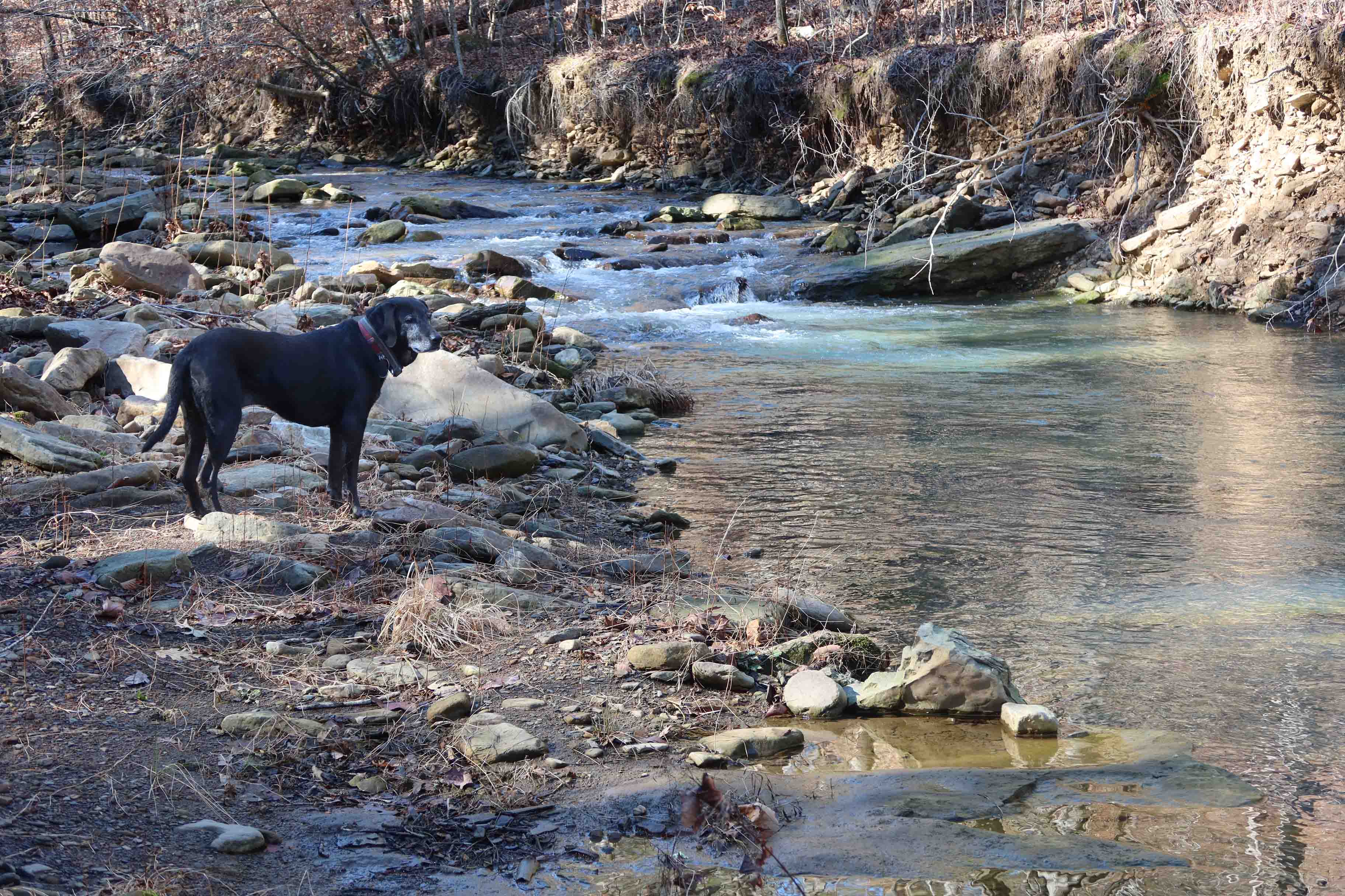
Kerry, Bob, and I wanted to hike Black Fork Mountain. It would not be our first time on this trail, but several years had passed since any of us had been up that trail. Our plan was to begin at Queen Wilhelmina State Park and hike down to where the trail crosses the Ouachita River. There we’d pick up extra water and hike to the Black Fork Shelter for a couple of nights.

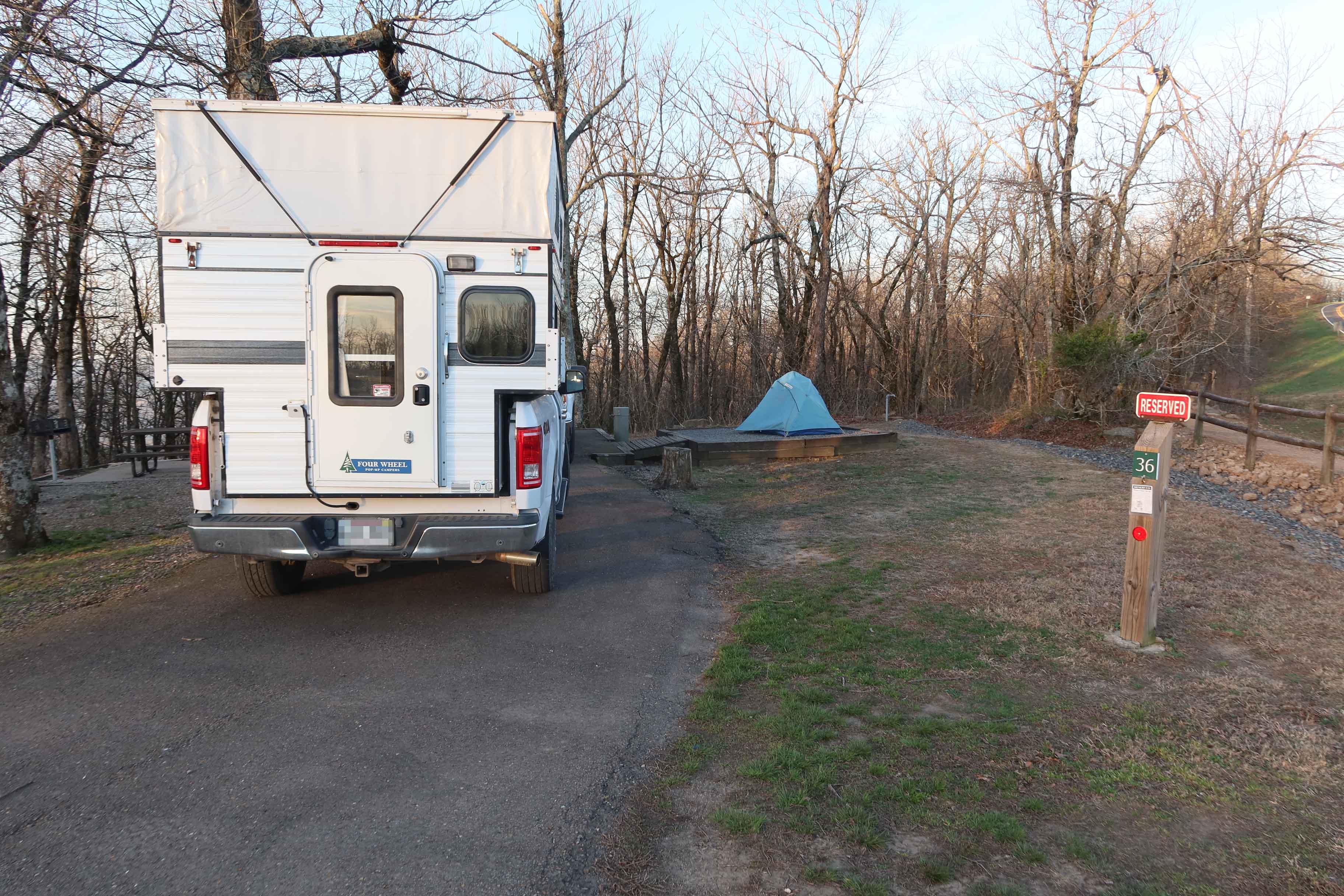
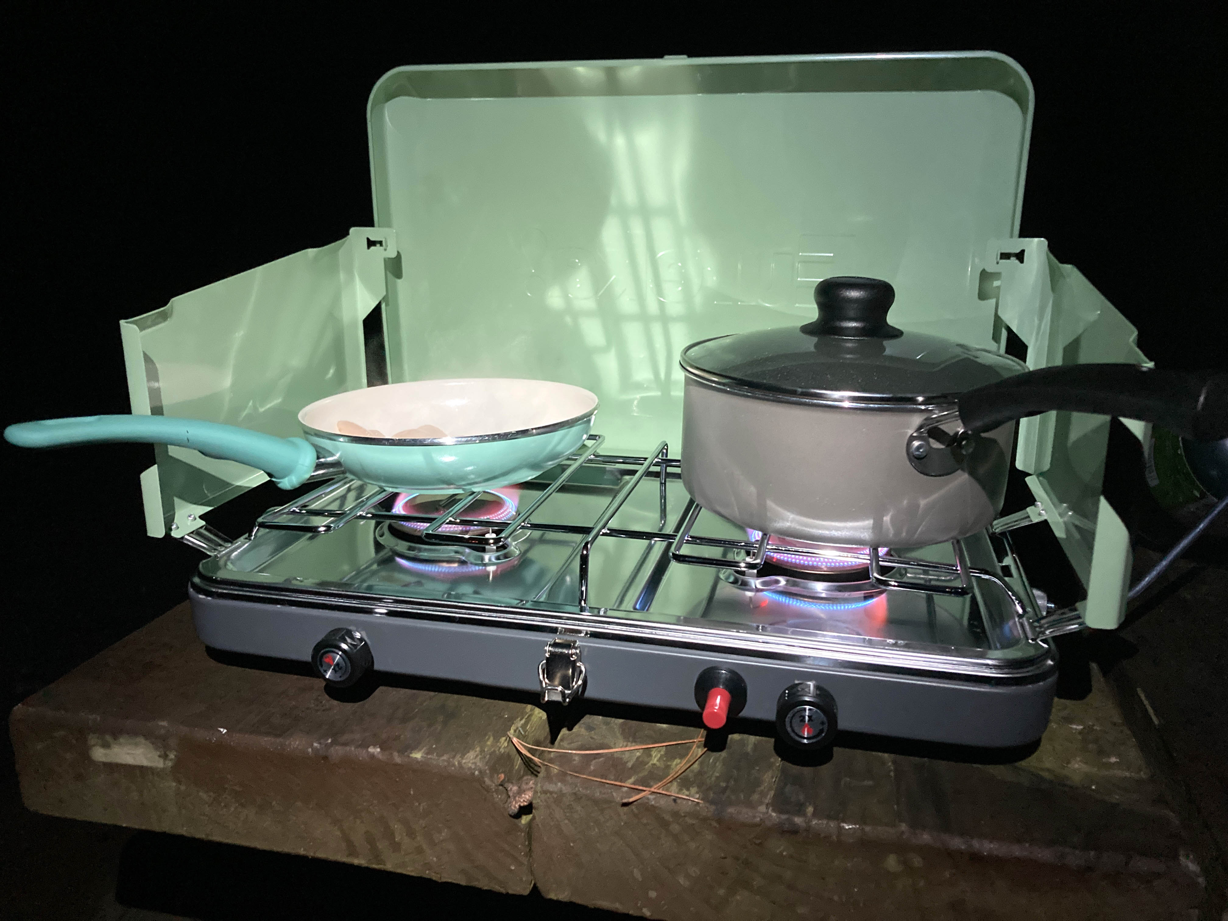
Our first night was at Queen Wilhelmina State Park. We were “Glamping” with nice campsites, access to restrooms, and a restaurant close by. I almost felt guilty in my truck camper while Bob and Kerry tent camped but both options gave a good night’s sleep. I look forward to using this campground and the nearby Winding Stairs Campground again. Rich Mountain and the Queen Wilhelmina area are great camping destinations.

As we walked, I thought back to a thru-hike on the Ouachita Trail in the winter of 2018. Back then, flakes of ice hung from the trees and littered the ground. Quite a different scene now as a warm sun beat down on this spring day.

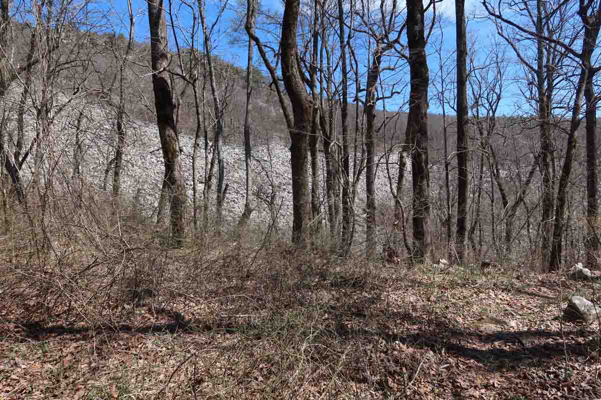
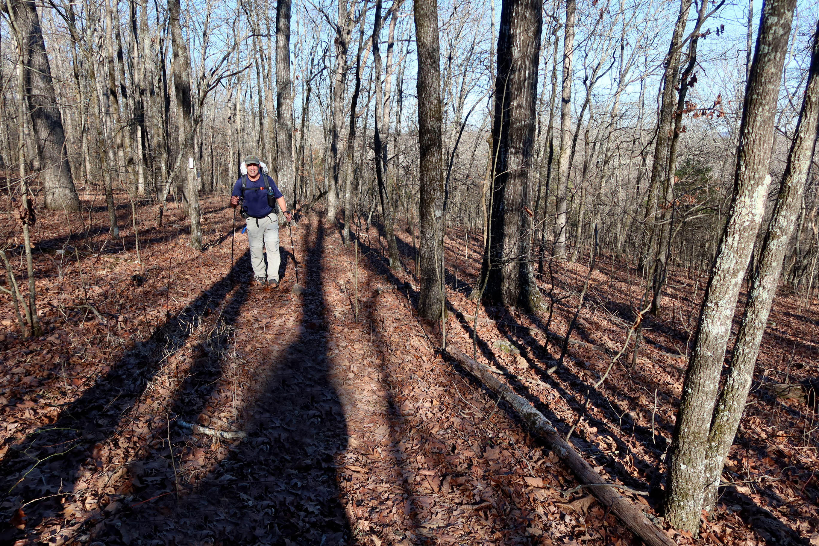
The next morning, we began working our way up Black Fork Mountain through alternating pine groves, hardwood forests, and scrub oaks along high ridges. The hardest part was following a reroute down below a rockslide. Every step down meant another uphill step later to regain the elevation lost.

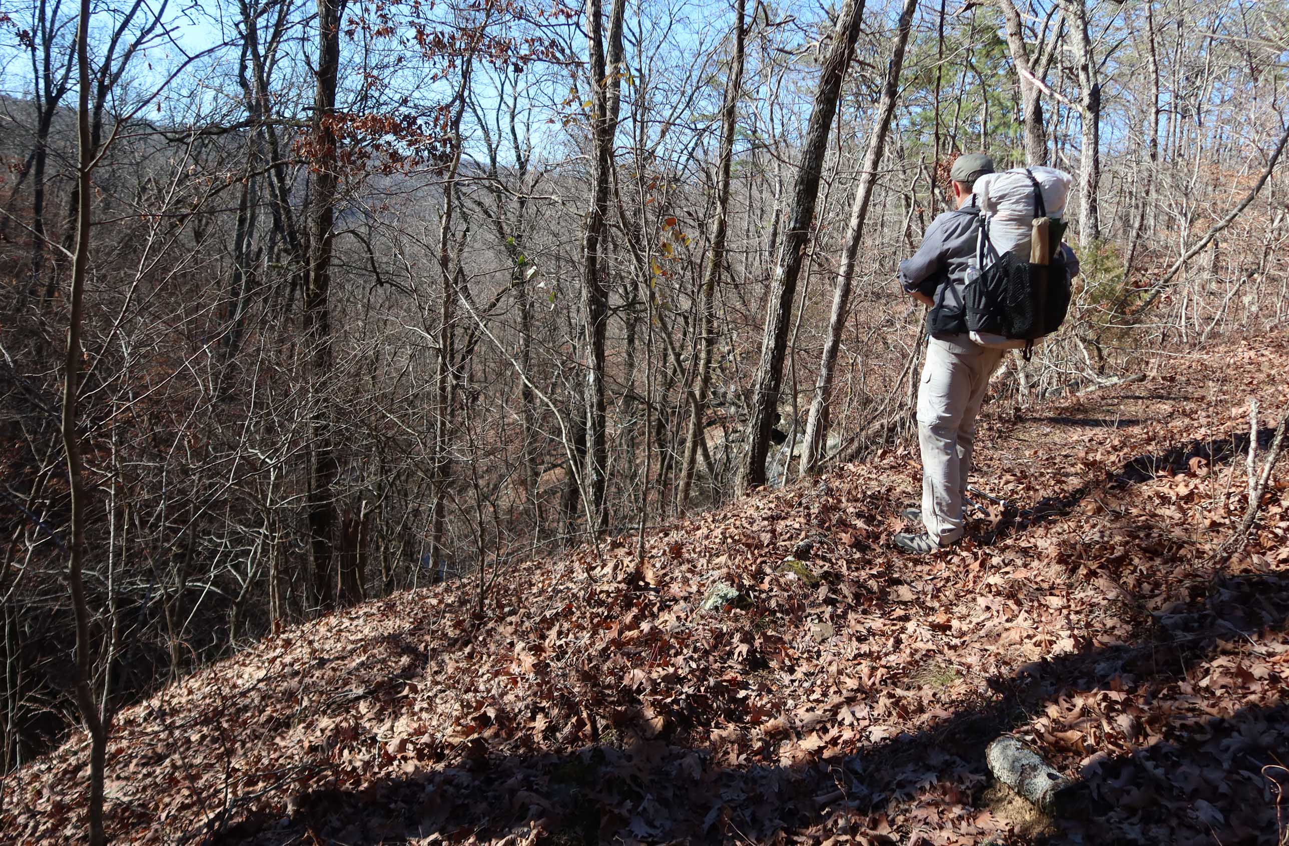
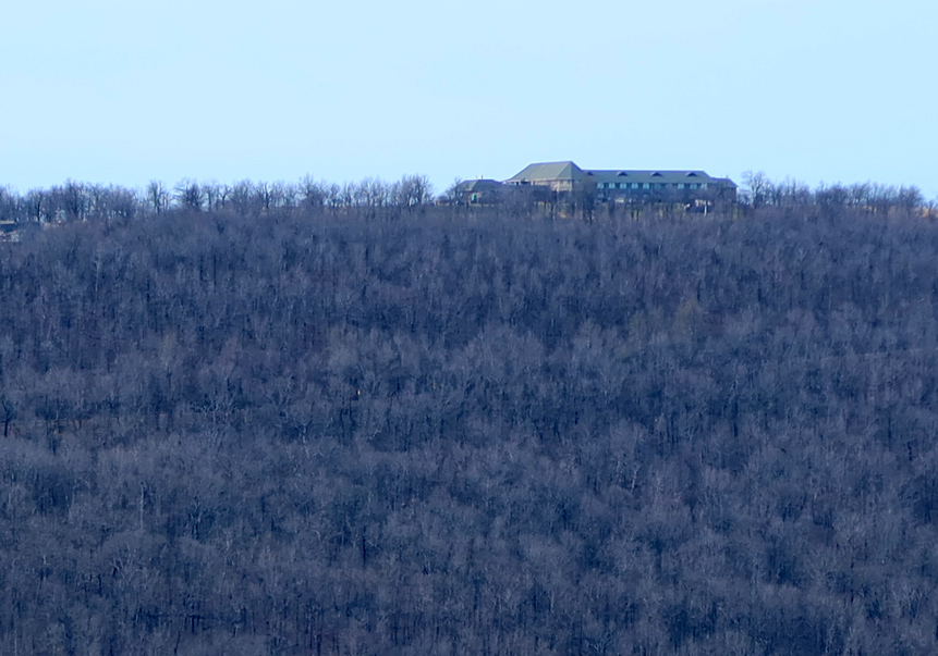
The views across the valley to Rich Mountain kept us engaged as we tried to identify roads, Queen Wilhelmina Lodge up top, and a little Country Store down below. 

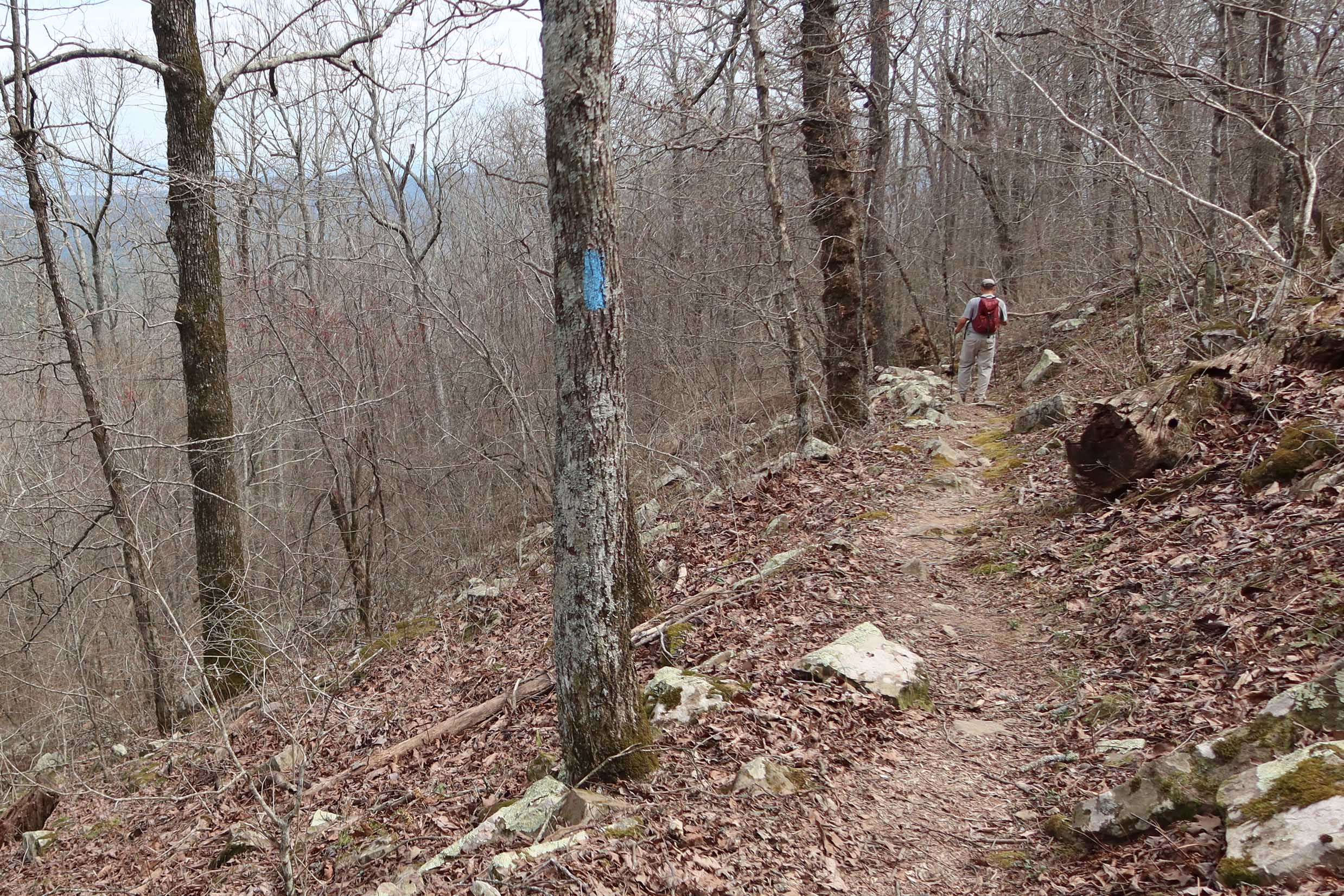
Thanks to occasional survey tape we were able to follow the trail without difficulty. Greenbriers clawed at us on the high ridges and we agreed this was a “long pants trail.” 

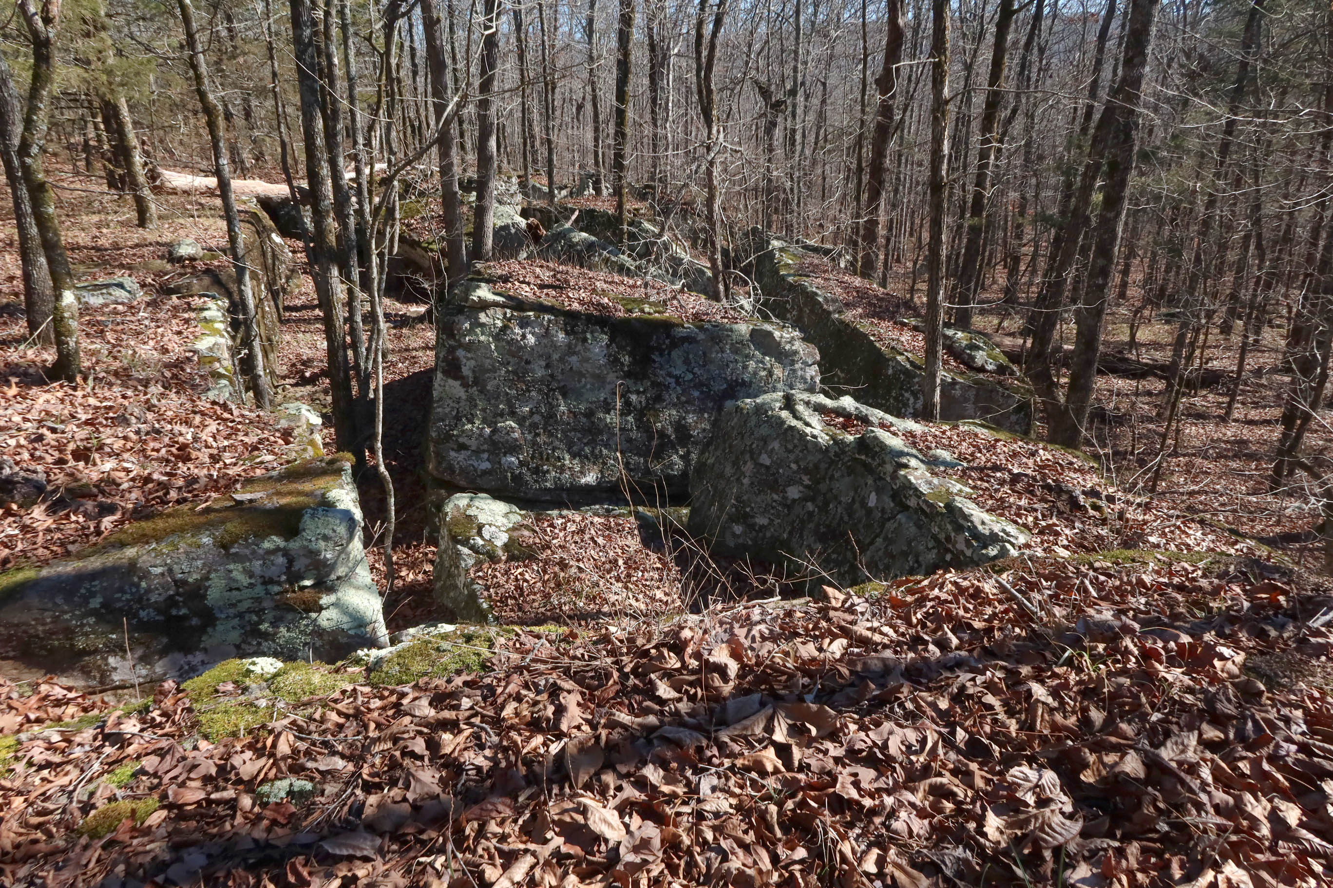
We were pleased to find an old chimney still in place along with a few rusty artifacts. I had a close look at the blade of what looked like a small hoe before returning it to where I found it. Bob found what looked like pieces of a horse or mule shoe. All items were left as we found them.

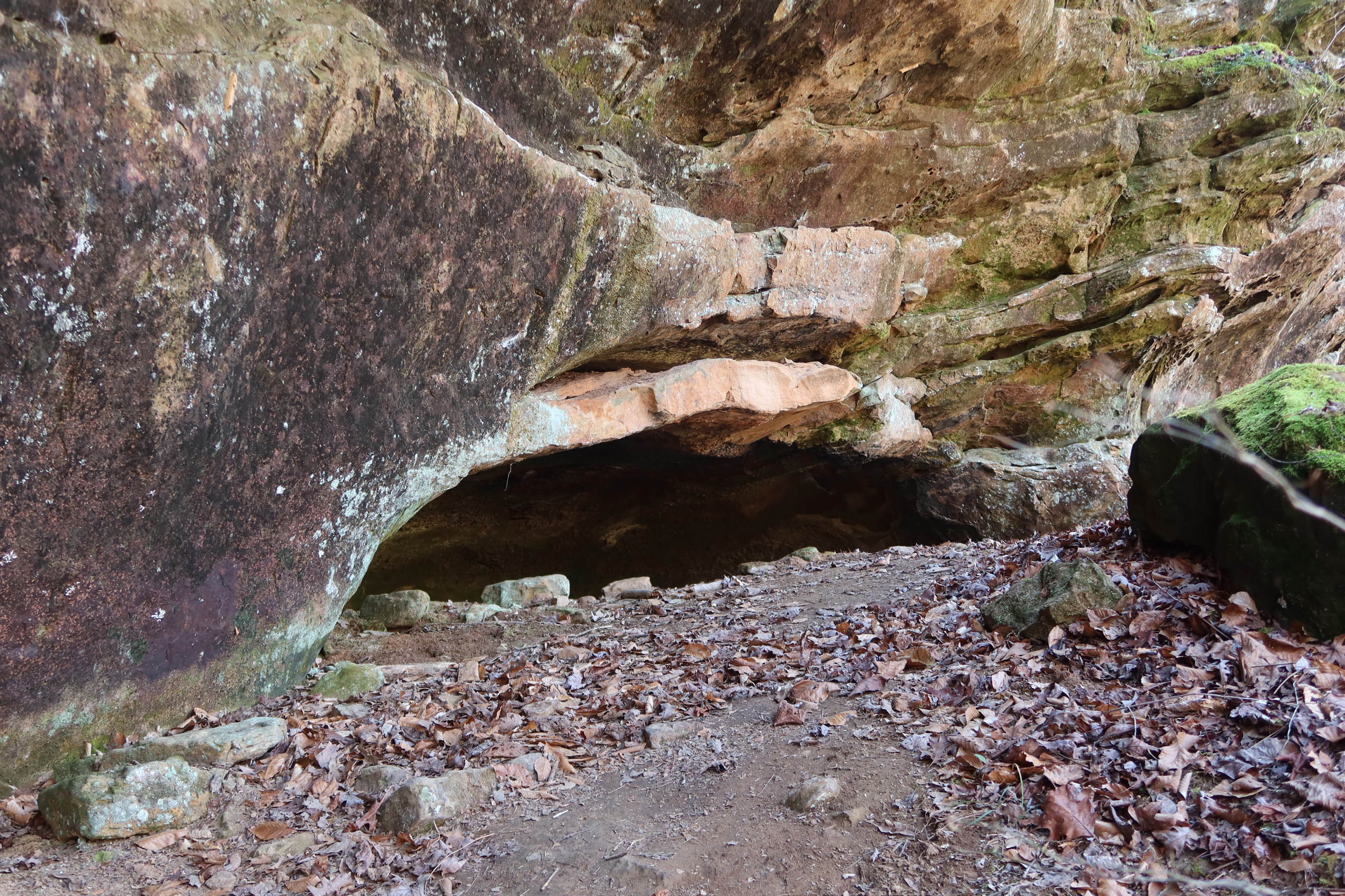
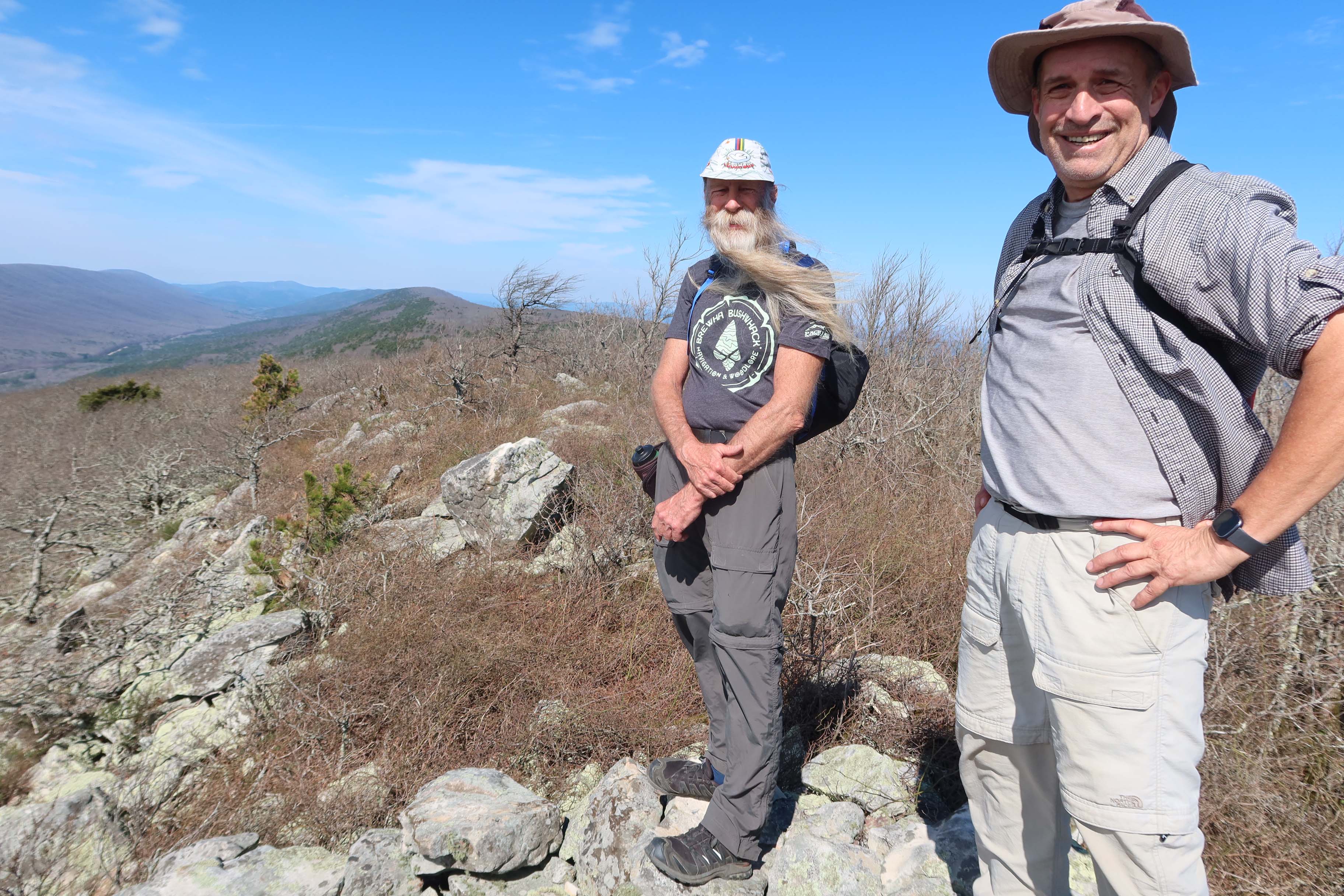
We were pleased to finally arrive at the rock outcrop that marks the top of Black Fork Mountain.

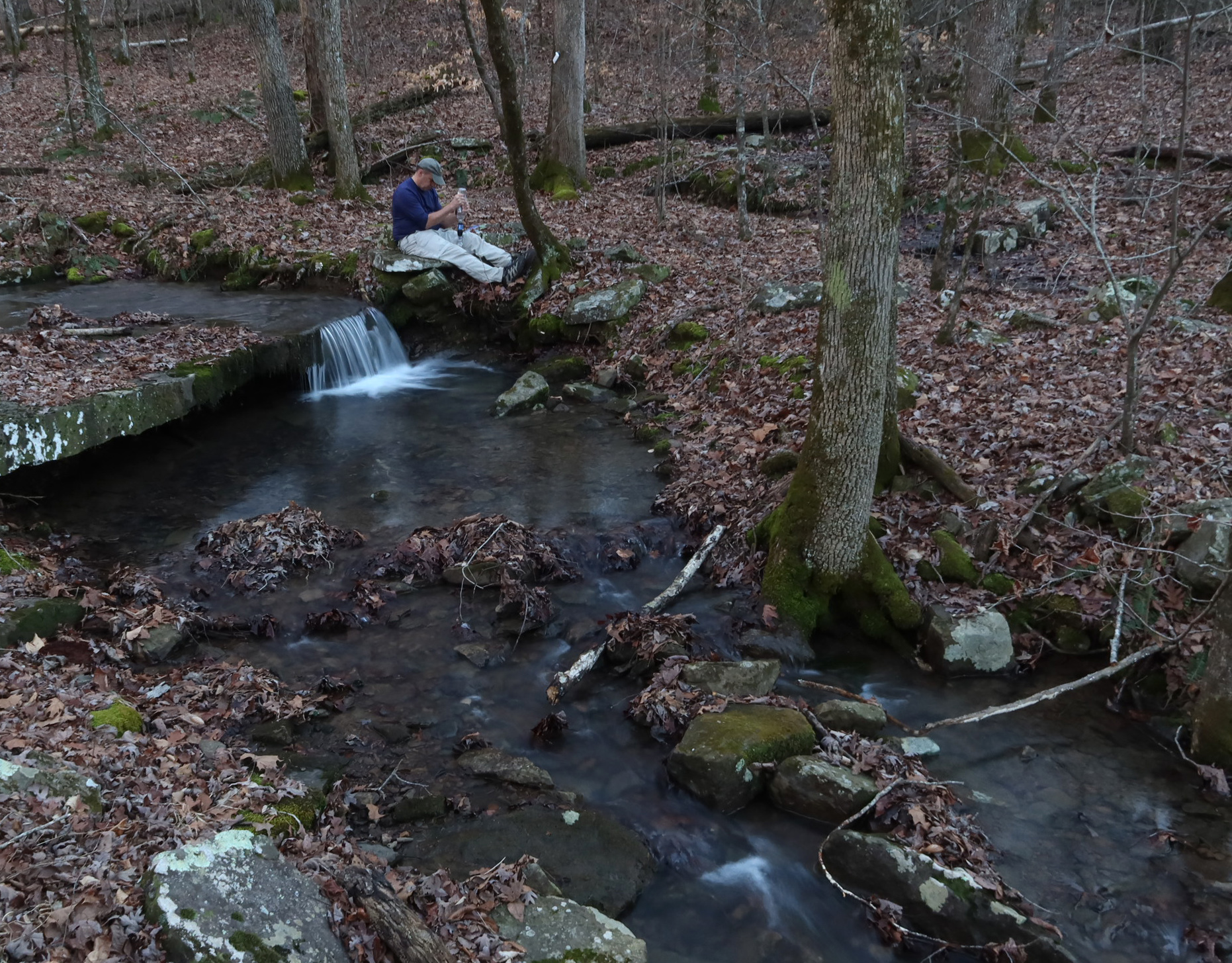
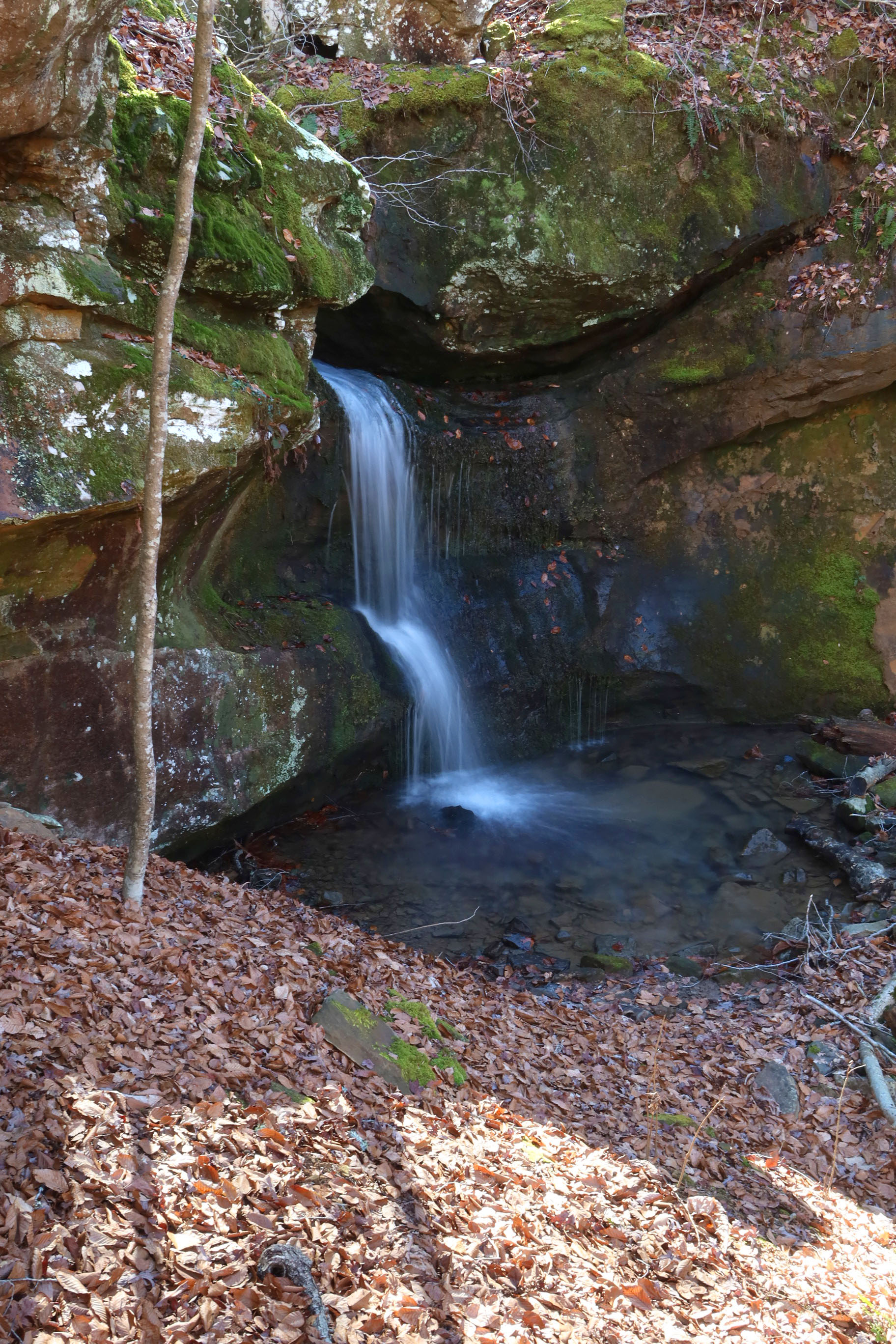
I filled my water bottle at a small murky pond less than a mile from the Black Fork Shelter. I ran that water through my Sawyer filter when we returned to the shelter and it was good! Water options up on Black Fork Mountain are limited unless there’s been recent rain so the pond is a treasured little resource.

The hike back down the mountain included that long uphill from the reroute around an old rock slide. We were thankful for every little cool breeze that came our way as we worked our way back down to Black Fork Shelter for the night. Everyone had a good appetite after their Black Fork workout.

Hiker-dog at Alum Cove Natural Bridge

It doesn’t seem possible that Hiker-dog has been part of our family for over ten years now. She must be around twelve years old now but she still loves the trails and exploring.

Recently we visited Alum Cove Natural Bridge and had the whole trail to ourselves for a little while, so I let her go off leash for a few minutes, especially around the icy spots in the trail. I had visions of her pulling me across the ice as a sled and wanted to avoid that fun.

She provided me with some entertainment underneath the natural bridge as she danced and skated across the icy stream that runs through and down the bottom of the cove. As temperatures warmed, we avoided being underneath massive ice formations that could fall with the impact of small boulders.

View from on top of the natural bridge.

We took a little time to explore the areas around this natural wonder. I always marvel when facing such complex but artistic views formed mostly by water and time.

Hiker-dog liked this little cave on the other side of Alum Cove. Nice view and protection from the elements. I’m pretty certain these caves were shelters for early inhabitants of the Ozarks. While inside, we had to keep an eye overhead to be sure we weren’t walking under icicles hanging from above.

Spotting Becca at the entrance of this cave helped me realize the size.

Hiker-dog says, “Thanks for joining us.” If you’d like to read how Hiker-dog joined up with our family at mile 138 of the Ozark Highlands Trail, it’s available at Chapters on Main in Van Buren, Bookish in Fort Smith, and Amazon.com online.

Ozarks Camping and Trails on the Cheap

If you’re looking for a quiet campground in the Ozarks, the Ozone Campground is a little jewel of a location. It’s less than three miles north of the community of Ozone on Hwy 21 north of Clarksville, AR.

The water faucet at the pavilion worked in January when I visited. No guarantees but when I visited, the outlets on the pavilion were on and available to charge your electronics. The pit toilets are convenient, functional, and filled with that refreshing outhouse aroma that says you’re roughing it. 

The Ozone Campground is located right on the Ozark Highlands Trail (OHT). From campsite #5, it’s a short walk downhill to the trail register. From there either direction promises a beautiful hike. You can make it as strenuous as you like by customizing the length and your pace. The OHT is open to foot traffic only.

 After taking a close look at Camp Ozone, named for the CCC Camp that once stood here, I decided the next trip would include camping. Where else can you get a campsite like this in a beautiful location for $3 a night ($1.50 with a senior pass).

Hiker-dog and I did an out-and-back on the OHT down alongside Little Piney Creek for 3.5 miles which gave us a 7 mile hike with a good workout on the climb back up to the campground.


Had a great meal at the Burger Barn a couple of miles south on Hwy 21 in the community of Ozone. A couple was just finishing when I stopped there and another couple was ordering about the time my catfish plate was ready. That seems pretty busy for a small town in the Ozarks of Arkansas.

The Ozark Highlands Trail from Arbaugh to Morgan Fields (27-miles)

Wolf Ridge overlook

Sometimes life gets complicated and backpacking moves to the back burner. There’s plenty to fill the space with trail maintenance, day hiking, finding new trails, playing music, and family obligations. All of these things are important and worthy of attention, but for me to be my best self for others, it’s essential to get out there for a few nights on the trails when possible. 

A couple of longtime friends and I planned a trip but temperatures for the week we had in mind were going to be into the single digits so we decided that might not be a good plan for our first backpacking trip of the winter. Our good friend, Bob, had a scheduling conflict by the time temperatures returned to normal, so it was just Kerry and me for this one.

I spent the night before at Redding Campground, so I’d have a short drive up Morgan Mt. Road on Tuesday when we started out. There was only one other camper there on the other side of the campground, so it felt like I had the place to myself. This is a great little campground without any hookups. There’s a connecting trail to Redding Loop and Spy Rock Spur. 

stove

I fixed a REAL breakfast Tuesday morning with a new stove. I like this stove! It’s like being in a kitchen when compared to my backpacking Esbit Cube stove. 

Esbit stove
Esbit stove and wind shield

We looked at several options. We settled on Arbaugh Trailhead north of Oark hiking west to Morgan Fields for a total of 27 miles. The first 3 miles are Kerry’s adopted section of the Ozark Highlands Trail. Since he had family obligations in the fall, a group of his friends gave his section some attention. I wanted him to see the good work we’d done. Kerry has hiked that section 48 times or more over the years between leading hikes and maintaining. But we both agree, it never gets old. 

Kerry looking down into Lynn Hollow and enjoying a well maintained trail.

The trail descends past a new low impact campsite and then to Lynn Hollow crossing. This whole area is beautiful, especially when water is flowing as it was when we walked through. If you ever need a short over-nighter or shakedown trip, camping here and exploring the Lynn Hollow area would be a good option. 

Lunch spot close to MM66

We hiked 11 miles to the west and camped at MM59, Wolf Ridge. This is a popular spot with plenty of tent sites, a well-established fire ring and great view. 

Filtering water at Wolf Ridge

The small stream close by has never been dry, even during the driest of falls. 

Wednesday, we hiked 9 miles and camped at Indian Creek. While passing through the Marinoni Scenic Area, we met the only other backpacker we’d see over our three-days on the trail. 

On Thursday, we hiked seven miles. We were feeling the climbs, even slight, but the open woods and running streams were a pleasure every step of the way.

Our three-days on the trail ended at Morgan Fields Trailhead. We were tired but already looking forward to our next walk on the Ozark Highlands Trail.