I enjoyed exploring the Ozarks of Missouri this weekend. The plan was to hike two trails in the Hercules Glades Wilderness Area. The Missouri Ozarks provided an excellent time on the trail, exceeding my expectations.
Hercules Glades
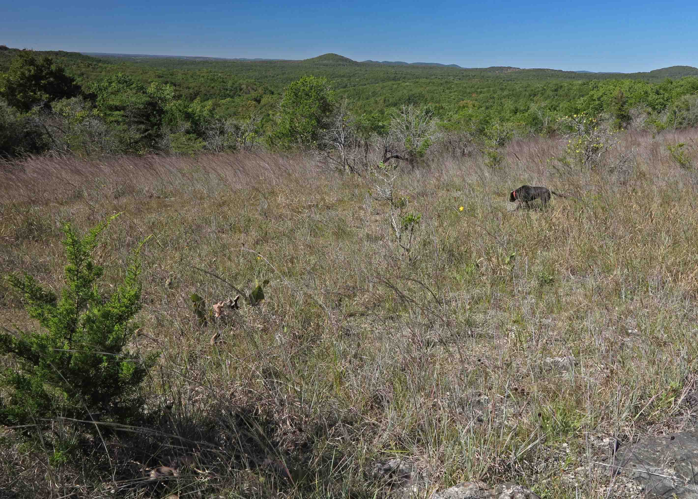
Friday afternoon, I hiked a 6.6-mile loop in the Hercules Glades. This wilderness area doesn’t use blazes, so I walked off of the trail following rocky glades on two occasions, but my mistake was caught before going more than a few steps. Hiker-dog loved the grassy glades and leaped with pleasure as she chased anything that moved.
A low water bridge is always a good sign when you’re looking to get out into a wilderness area. The clarity of the water was also a good sign.

Low water bridge on FR 544

Looking upstream from the low water bridge
In the Hercules Glades, deep woods alternate with open glades, punctuated with thick cedar groves. The contrast of temperatures and environments were surprising. The warmth of the glades wasn’t as surprising to me as the coolness of the wooded sections. The woods were also nice and open due to the heavily shaded canopy.
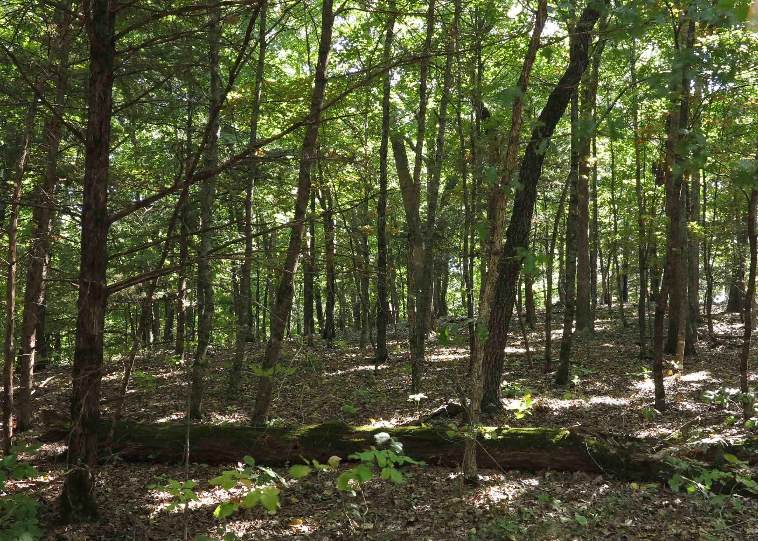
Hercules Glades wooded section
Crossing Long Creek late in the hike provided some much needed clear drinking water for Hiker-dog. The sun was getting lower in the sky, so I took a few minutes to enjoy the foliage reflecting on the surface.

Hiker having a drink.
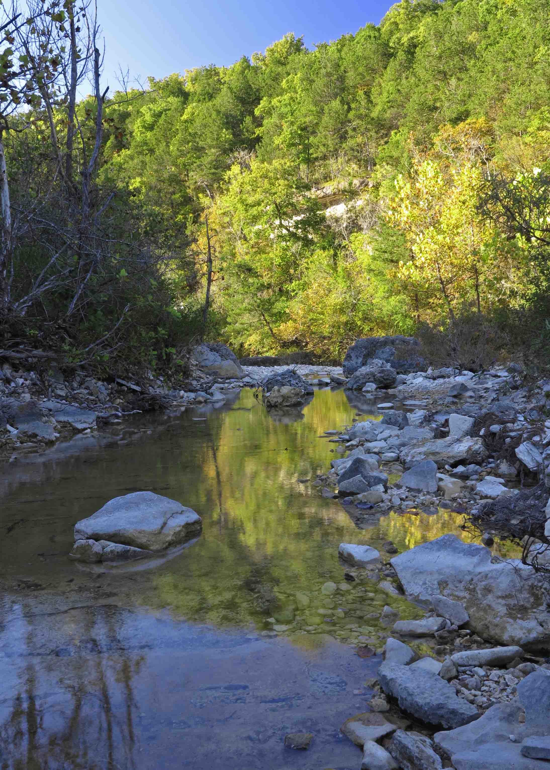
Evening light on Long Creek

Long Creek
Once back at the trailhead, I was preparing a for a quiet dinner, having seen only one small group and a solo hiker on the entire loop. As I was sitting there with Hiker, the parking lot began to fill up. By sundown, I had seen two groups of fifteen Boy Scouts enter the trail. I opted to sleep in my Jeep so I wouldn’t be sleeping in a tent when more vehicles arrived.
The scouts and the leaders were nice and seemed well organized. When one of the group of fifteen called out, “Who has the compass?” it gave me pause. Later one of the adults mentioned a young man who had loaded his pack with three extra pairs of pants and a double-D battery lantern, but only one small bottle of water. I’m sure some good learning occurred this weekend among those young men.

Fire tower at the trailhead off of Hwy 125
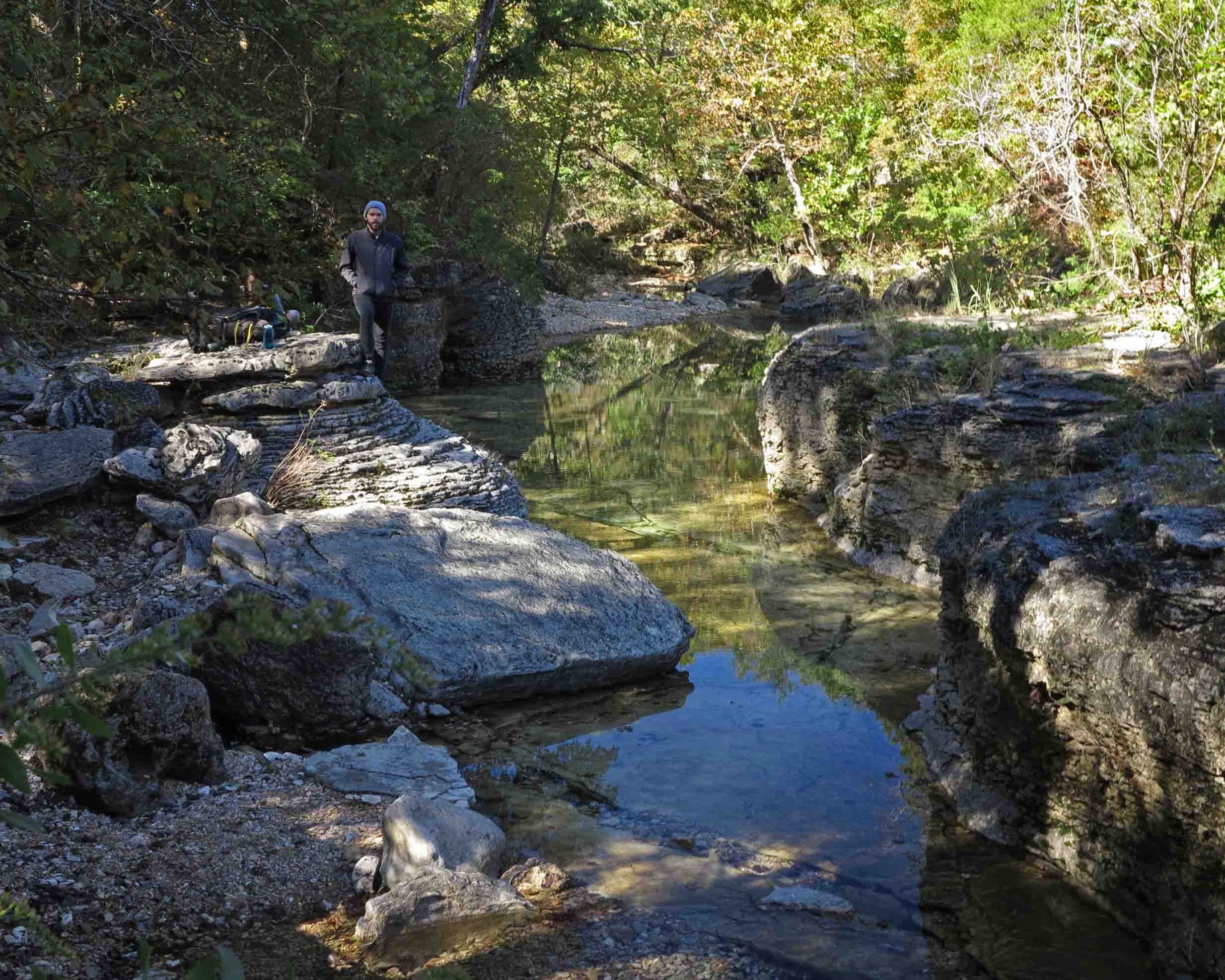
On day two, we drove to the east side of Hercules Glades Wilderness and hiked around Pole Hollow and down Long Creek to the falls. The trailhead includes a nice pit toilet, picnic tables and tent pads. There is also an abandoned fire tower.
This six-mile out-and-back was a pleasure every step of the way. When we arrived at the falls, a young man and his wife who entered the day before were looking for a campsite. He later reported that they camped that night with a large group of Boy Scouts. Not the solitude they’d envisioned, but still a good evening in the woods.
Hiking down Long Creek made me resolve to return during a wet season. This area is beautiful now, but must be several notches up on the “amazement scale” when the water is flowing.
Long Creek below the falls
The depth of this overhanging bluff surprised me. The overhang must have been at least fifteen feet deep.

Overhanging creek bluff
The hike back toward the trailhead was enjoyable because we could relax and enjoy the views having walked this route before. I let Hiker off the leash since we had this section of the trail to ourselves. She likes to run ahead and dart off-trail to explore. I’m a little envious that she sees so much more than I do with my two wobbly legs. Both Hiker-dog and I are looking forward to exploring more of the Missouri Ozarks.

Hiker-dog on the trail

Wonderful photos! Thank you for sharing your weekend with us!
My daughter and I are hiking this tomorrow. Are the trails marked? Do you think hiking from the Tower or Coy Bald has more rock terrain and river crossings? We like the rough terrain. Thank you!
The trails are not marked, so be sure to carry a map. There are occasional signs at intersections. For rocky hiking, Long Creek bed would be fun to explore if it’s still dry. You can access it from the Fire Tower trail head or Coy Bald. Unless they’ve had some heavy rain recently, there are no adventurous river crossings, but it is a beautiful area. Thanks for reading and I hope you have a good trip.