In response to The Daily Post’s weekly photo challenge: “Ephemeral.”
Frost flower next to the Ozark Highlands Trail in Arkansas.
This little heart-shaped frost flower was next to the Ozark Highlands Trail on a winter’s hike. It would be gone within a few minutes as sunshine peeked over the sharp edge of a nearby mountain to the east.
Though these small ephemeral gifts do not last, I have the privilege of carrying them in my memory and sharing them through my camera.
frost flower
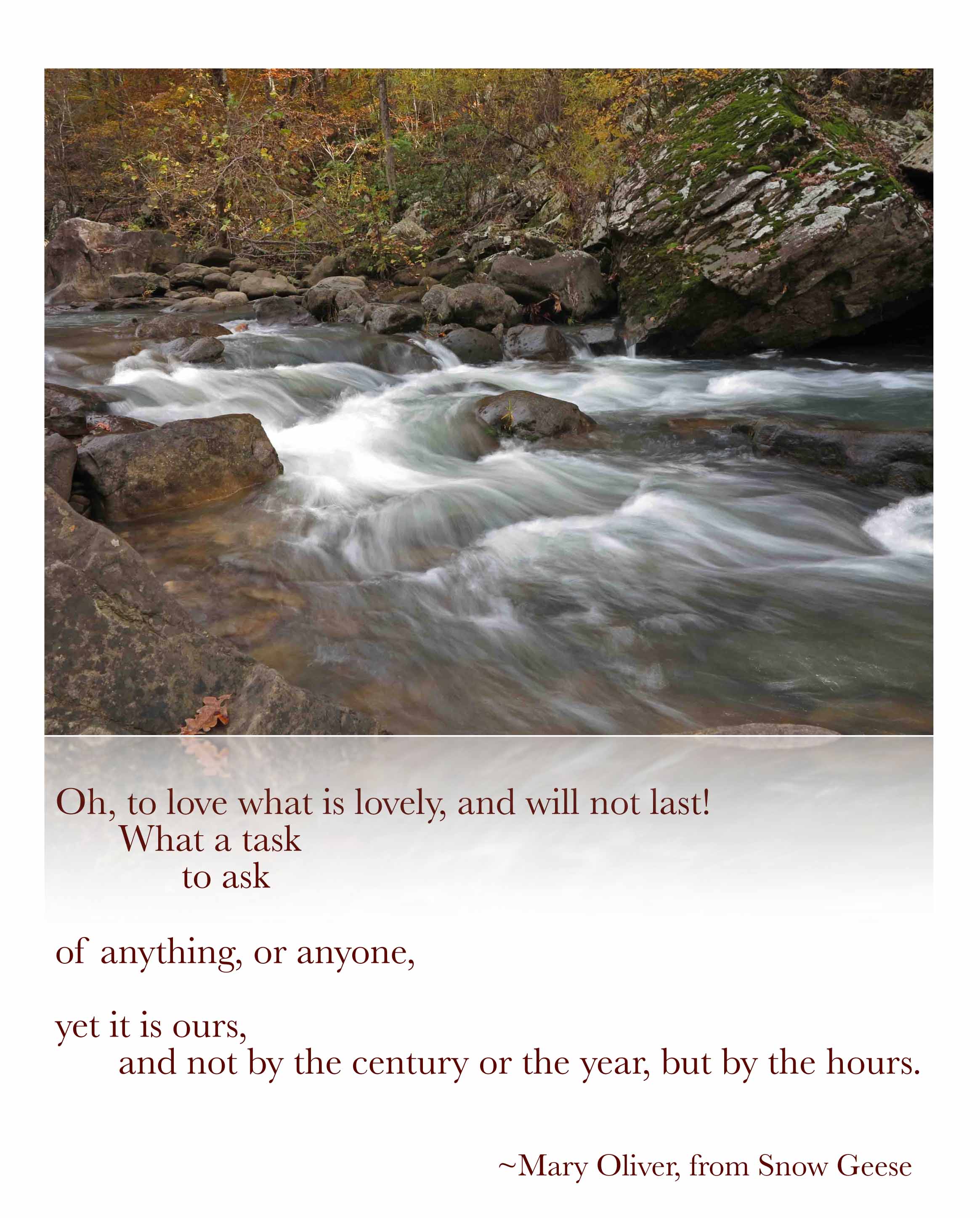
Mary Oliver’s words come to mind often on the trail.
I’m thankful for the “task” of carrying these small gifts with me as I continue down the trail. Thank you for allowing me to share.



Hiking Rush, An Arkansas Ghost Town Photo Tour
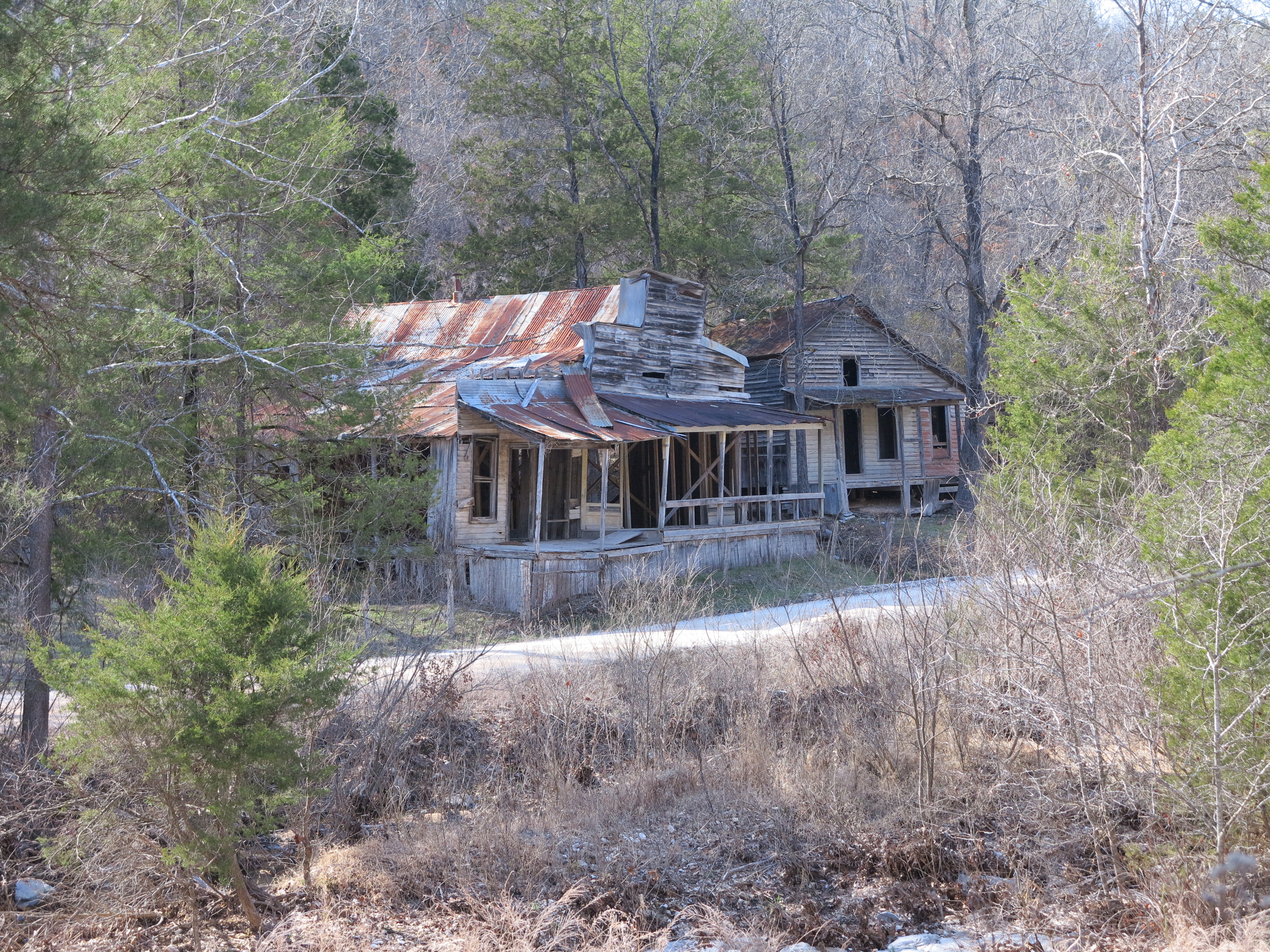
Taylor-Medley Store on the left. Home of Lee Medley on the right.
I was pleased to find the old town of Rush to be a great day hike location! I was afraid the trail would be too short and tame, but it’s just right.
I could have spent the entire day exploring and ended up pushing the limits of remaining daylight. A van full of college kids offered me a ride while I was walking along the creek after my hike. It was nice of them to offer, but I said “no thanks” since the Jeep wasn’t far away. College kids who hike and camp tend to be pretty good folks.
Rush was a mining community that began in the 1880s and thrived in the 1920s when zinc was in high demand during World War I. Rush declined along with the demand for zinc and was finally abandoned in the late 1960s. According to Neil Compton, “by 1969 Rush was bereft of inhabitants except for Gus Setzer and Fred Dirst, an old miner who conducted tours into the mines for wandering visitors…”
Rush eventually came under the ownership of an industrialist who planned to make a tourist trap of the place, but he sold it to the National Park Service. I hate to think of what this place might have been if a developer had gotten hold of it.
Today, interpretive signs are placed along a short trail that loops through the center of Rush. A longer trail follows the mining level up above downtown. If you have several hours to spend, you can hike the 1.7 mile long mine route to the National Park boundary as an out-and-back.

trailhead
A prominent structure is the blacksmith shop, an essential business for a mining community. This is the “new” shop built in the 1920s during the height of the commercial activity in Rush. Ore was transported down Ore Wagon Road to the White River and loaded onto barges. When trucks became dependable enough to transport zinc and replaced wagons, the blacksmith shut down his business and went back to farming.
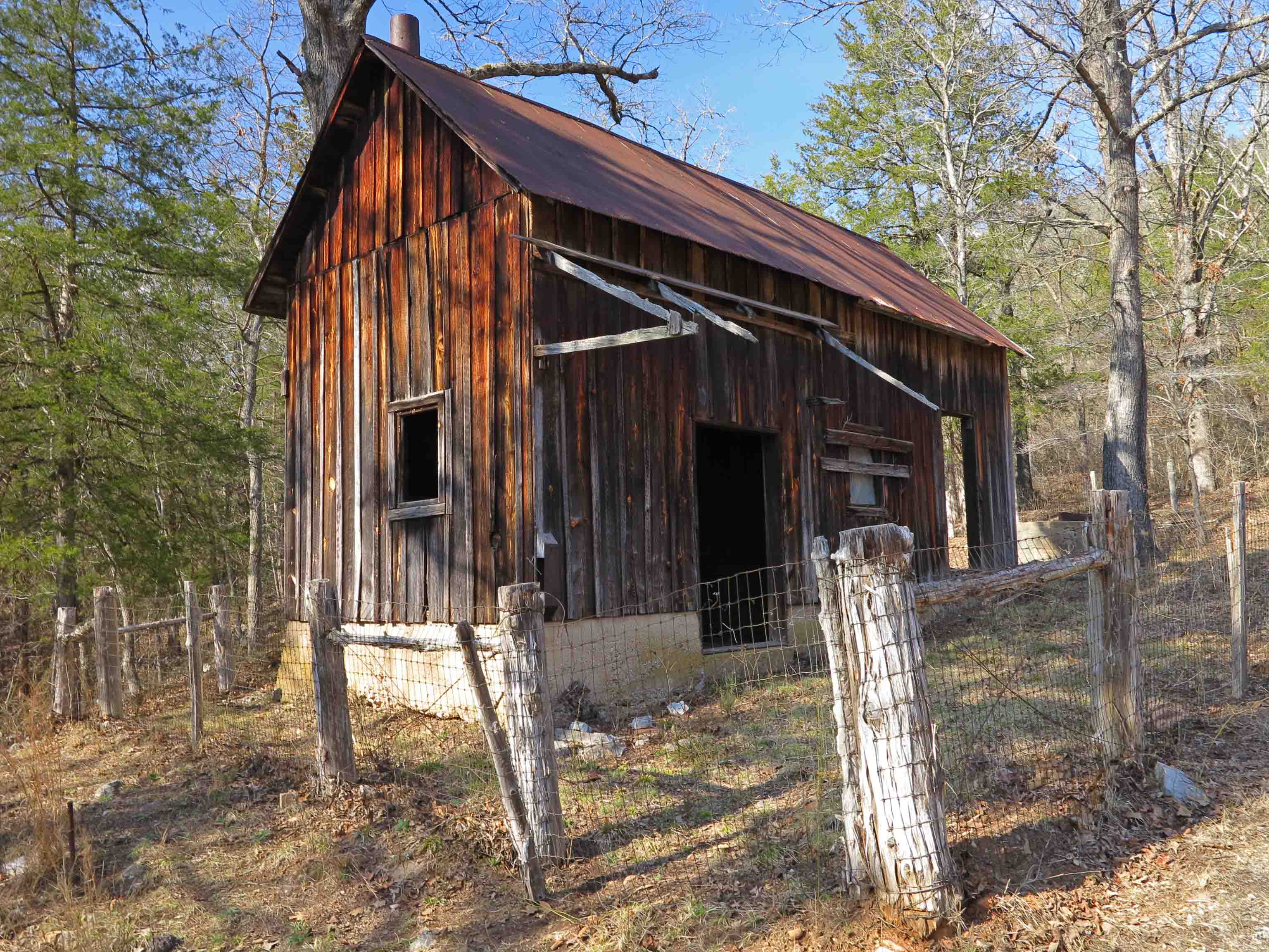
blacksmith shop

blacksmith shop back yard
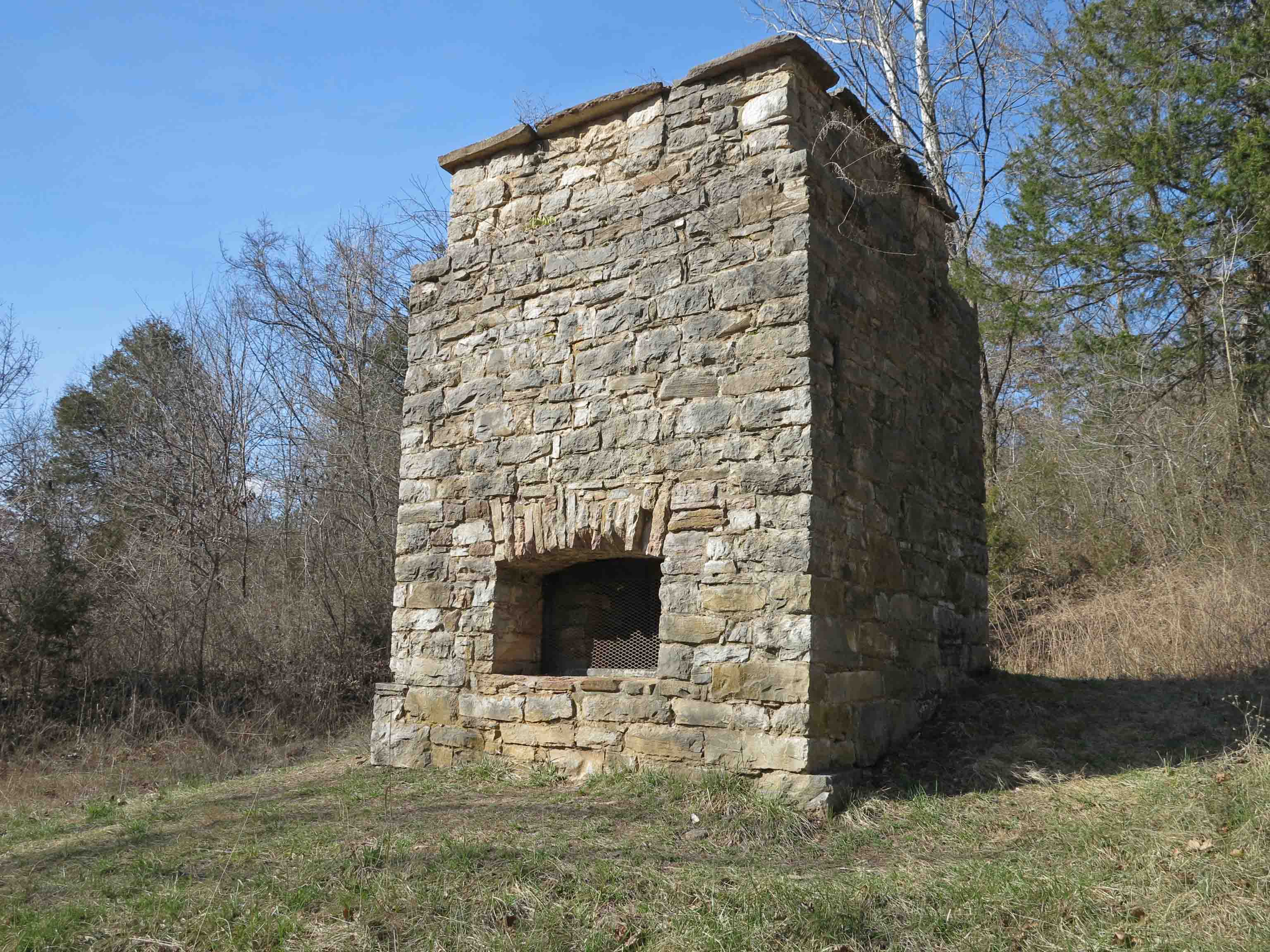
ore smelter
This ore smelter is the oldest structure in Rush, built in 1886 by the claim-holders of the Morning Star Mine. They hoped the smelter would reveal silver in the ore. No silver was to be found.
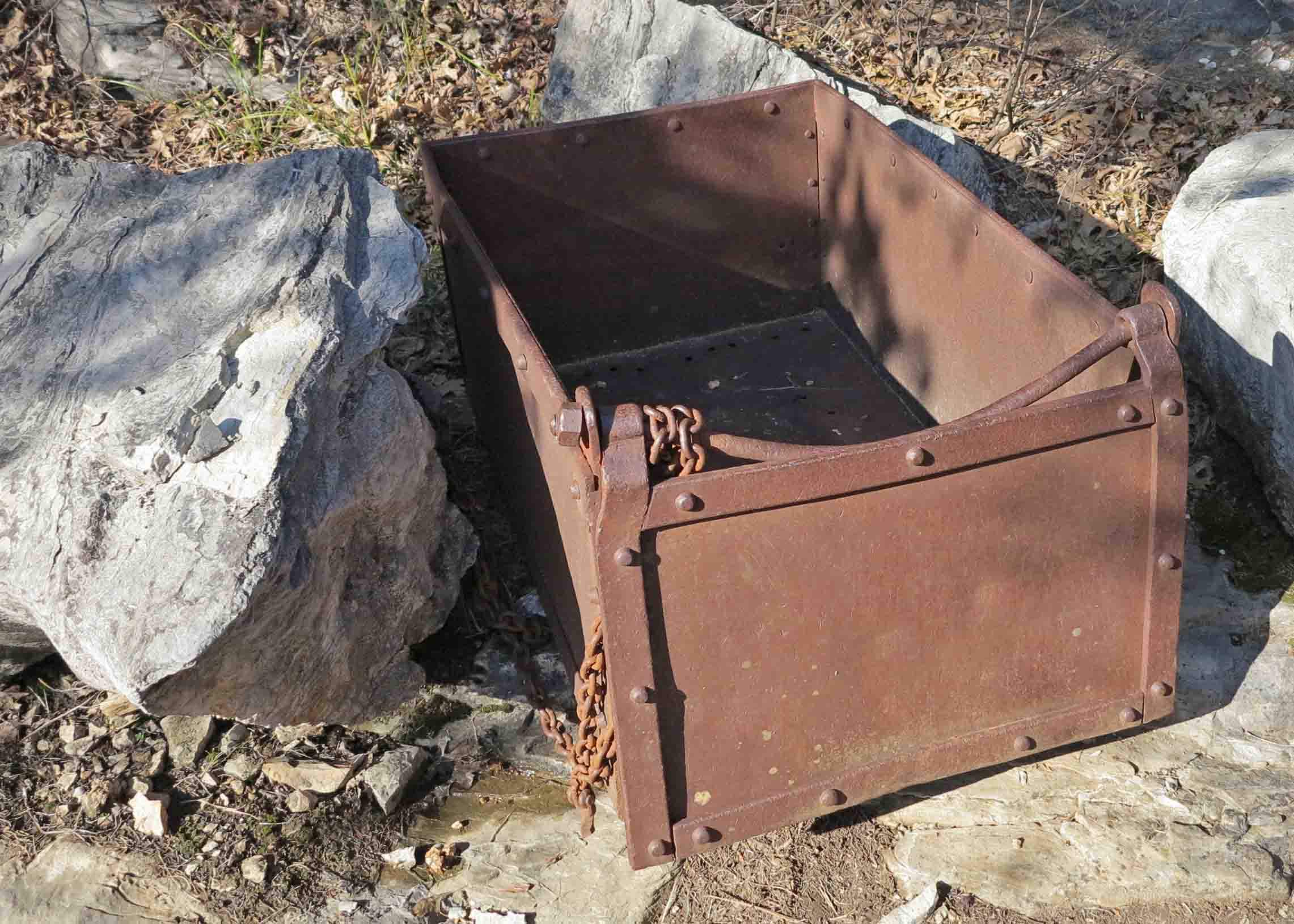
ore cart
This cart was next to the trail. I was impressed with its heavy construction and how it had stood up to the elements.

ore cart

This large machine was next to the trail at the Clabber Creek end on Ore Wagon Road. I’m not sure what it was used for, but I was impressed with the large wheels and chain sprockets.

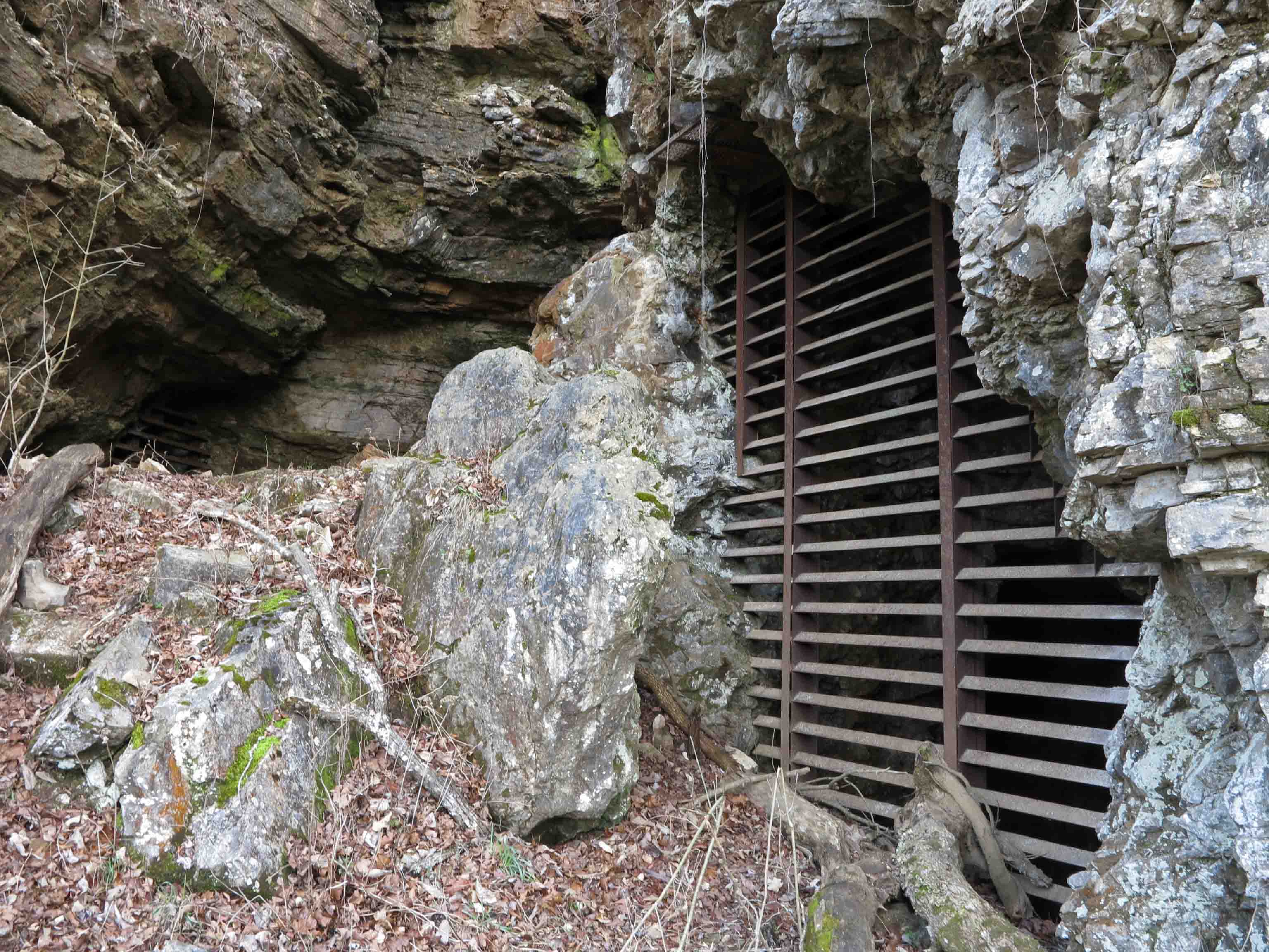
mine entrance
You’ll pass many mine entrances as you hike the trail. The grills keep visitors out of dangerous mines, but allow bats to come and go freely.
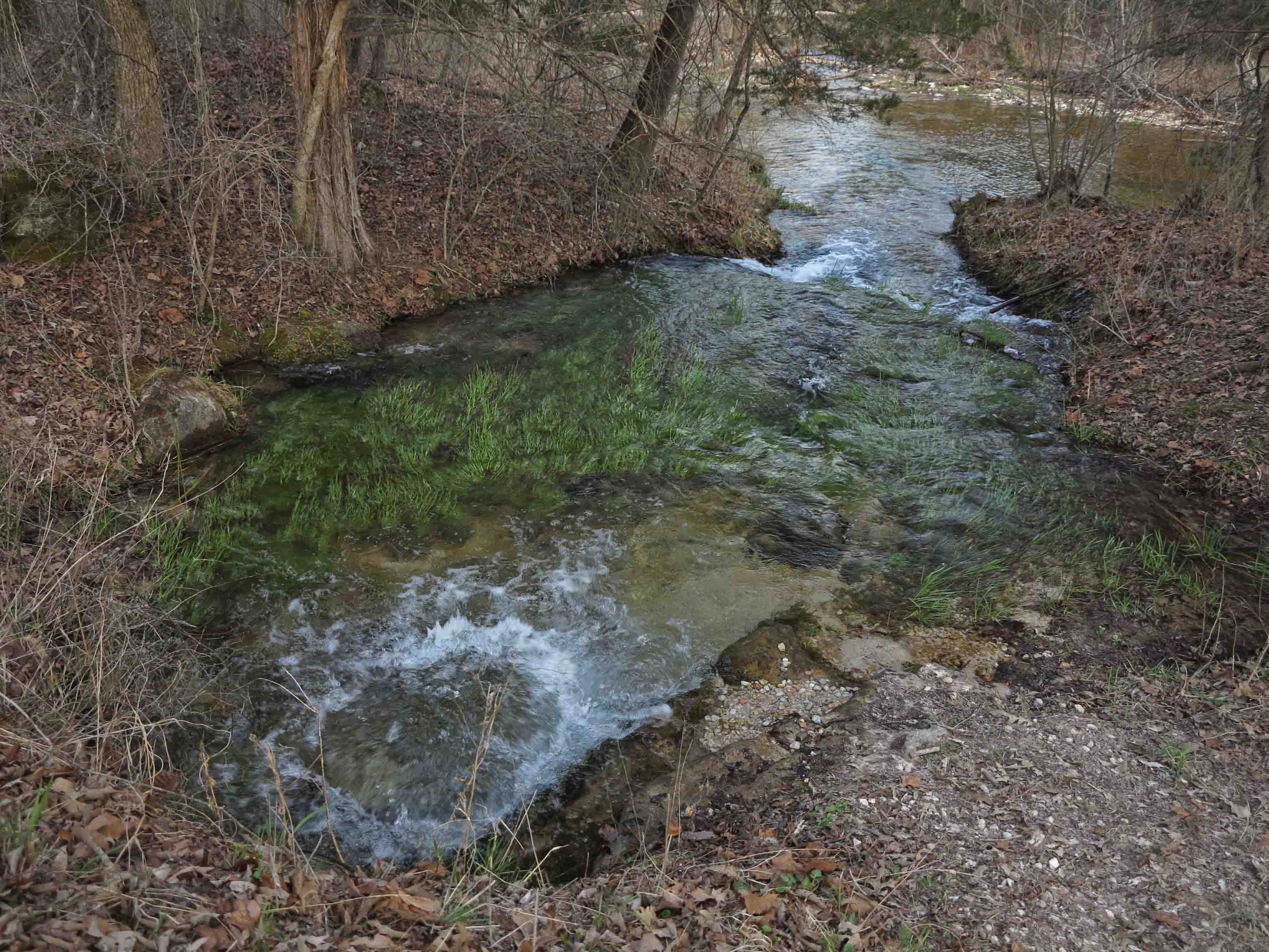
“Boiling Springs” flowing into Rush Creek.
Finding “Boiling Springs” was a treat. The water was clear and cold. A grist mill was once located close by in Rush Creek.

Looking downstream on Rush Creek.
What follows are several historic structures along the road in Rush. Many of these houses were built around 1890. I hope you enjoy this little glimpse into the historic town of Rush. If you’ve been there before, maybe my pictures will bring back good memories. If you’ve not visited, I hope I’ve inspired you to grab your hiking shoes and explore it for yourself soon. It’s a special place!
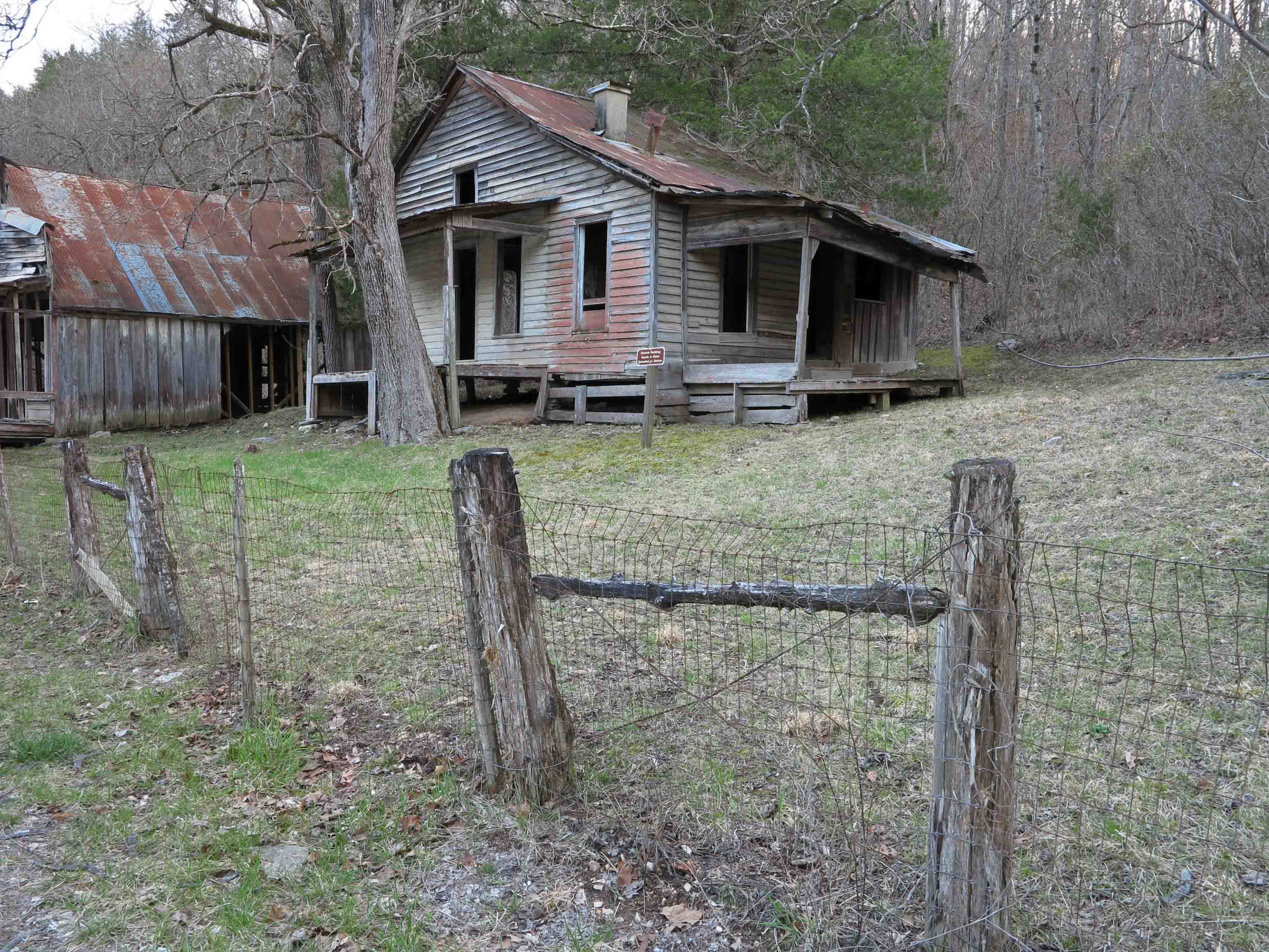

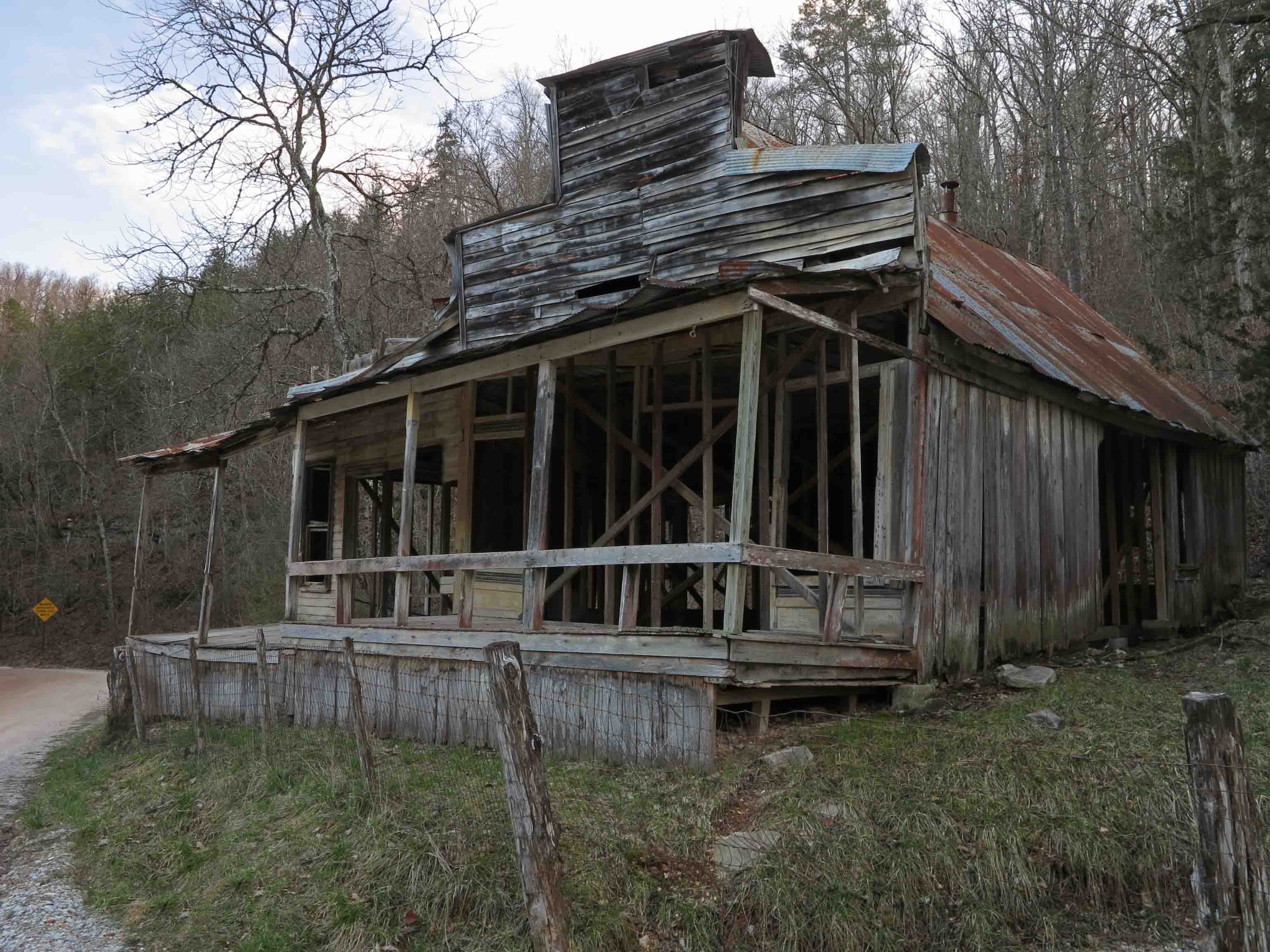

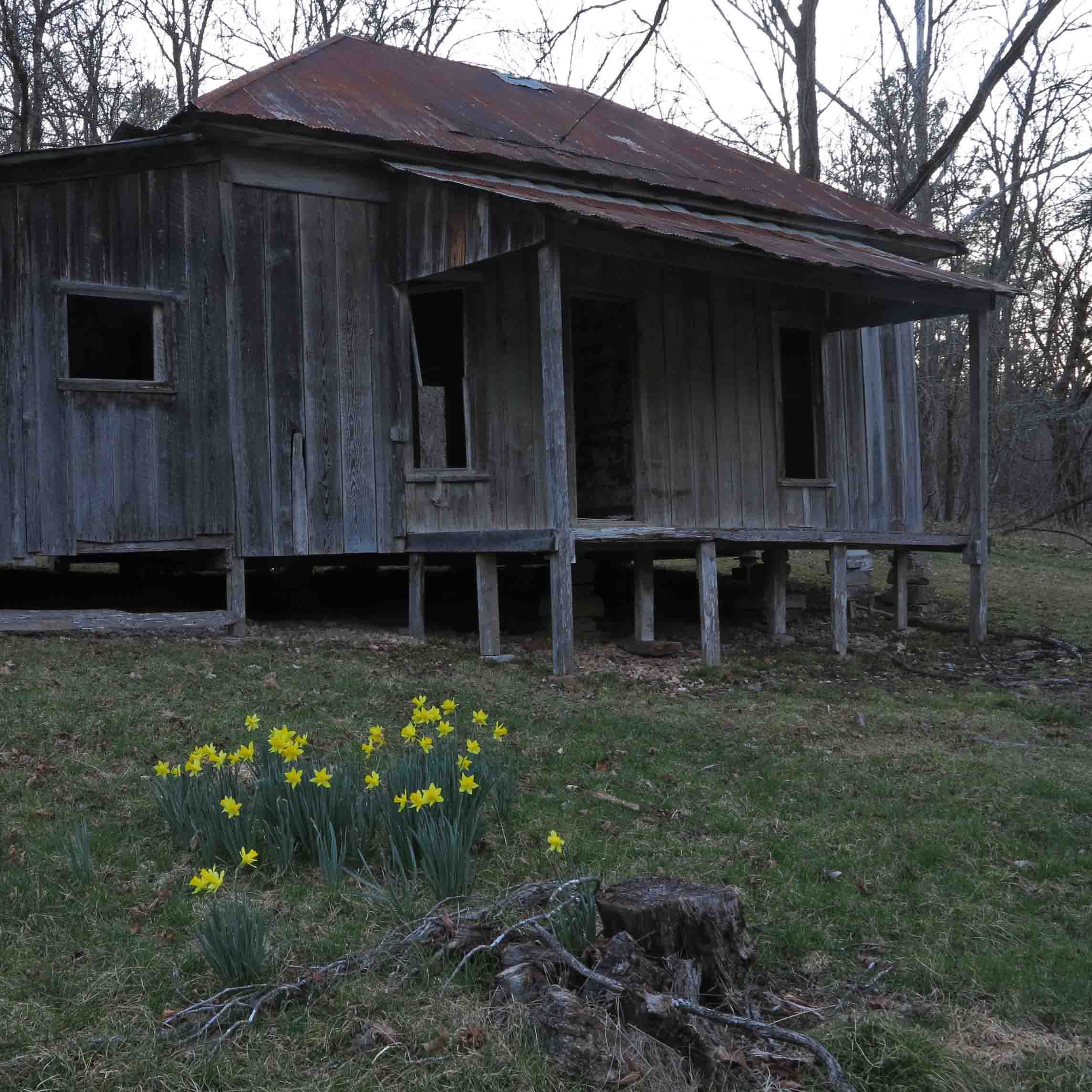
I was running low on light at the end of the day, but had to stop and photograph these daffodils that caught my eye. The inhabitants who planted these bulbs many years ago would be surprised to learn that their landscaping would be appreciated by a weary hiker on an early spring evening in 2015.
I was proud to include Rush Ghost Town in my book, Five Star Trails: The Ozarks. Love hiking through history!
Fresh in the ghost town of Rush, Arkansas
In response to The Daily Post’s weekly photo challenge: “Fresh.”
Yesterday at dusk, I photographed these new daffodils against the old backdrop of this historic structure in Rush, Arkansas. Many of the structures in Rush were built in the 1920s.
Early mining efforts began in the 1880s as miners prospected for silver. No silver was found, but zinc made the little town thrive as World War I increased the demand beginning in 1914. Rush is now within the boundaries of the Buffalo National River in Marion County.
The contrasts continued. Fresh water flowed from the ancient limestone hillsides next to abandoned mines. I filtered tasty water right off of the surface of the ground next to the trail.
It was easy to fill the filter pouch from water flowing out of limestone bluffs.
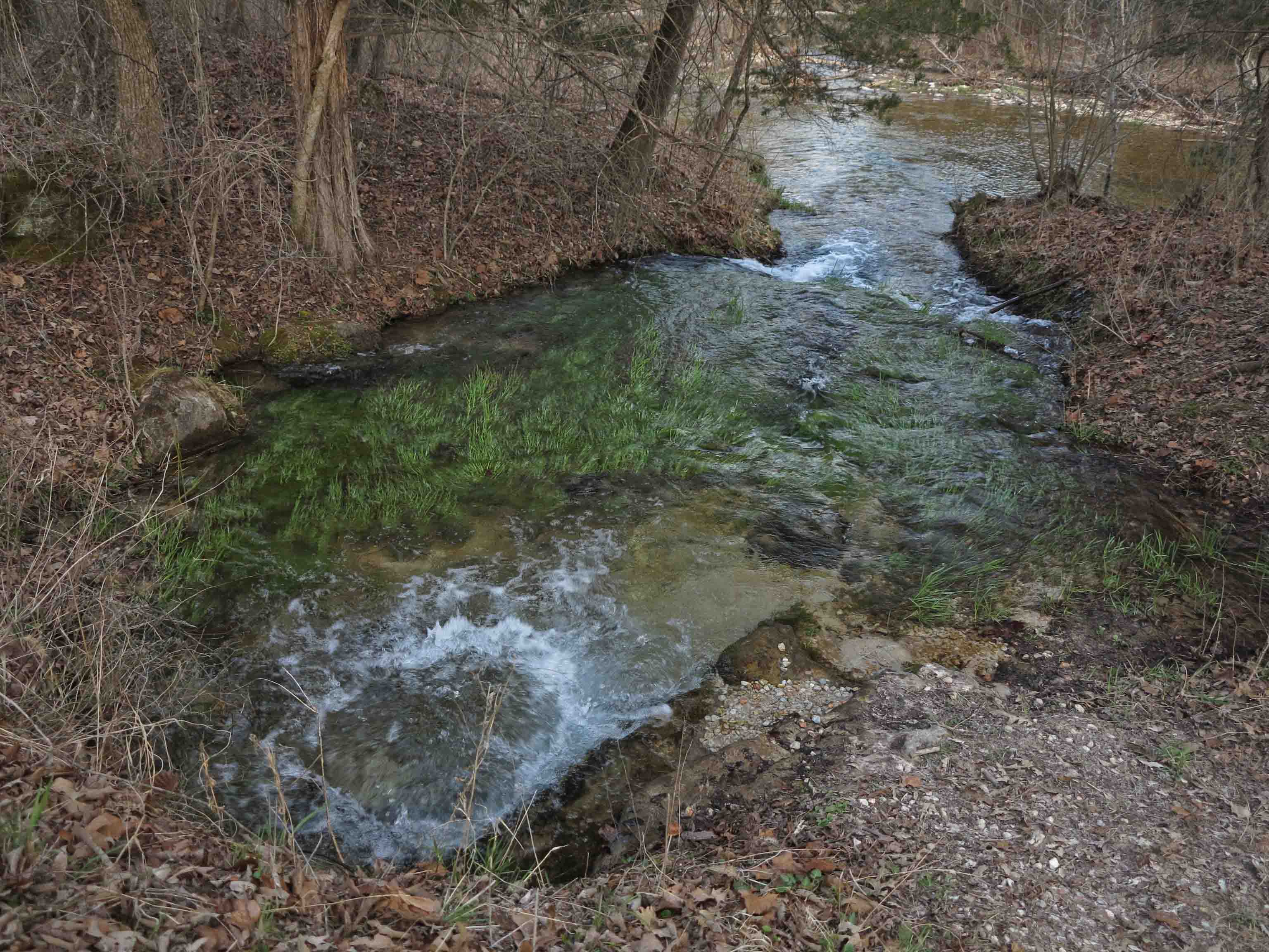
An artesian stream bubbled up out of the base of a small creek flowing through the town of Rush. The water was clear and cold. I wanted to jump in and let the water chill my toasty feet but decided to settle for a picture and a quick splash on my face and arms.
The artesian flow circle was about four feet across.
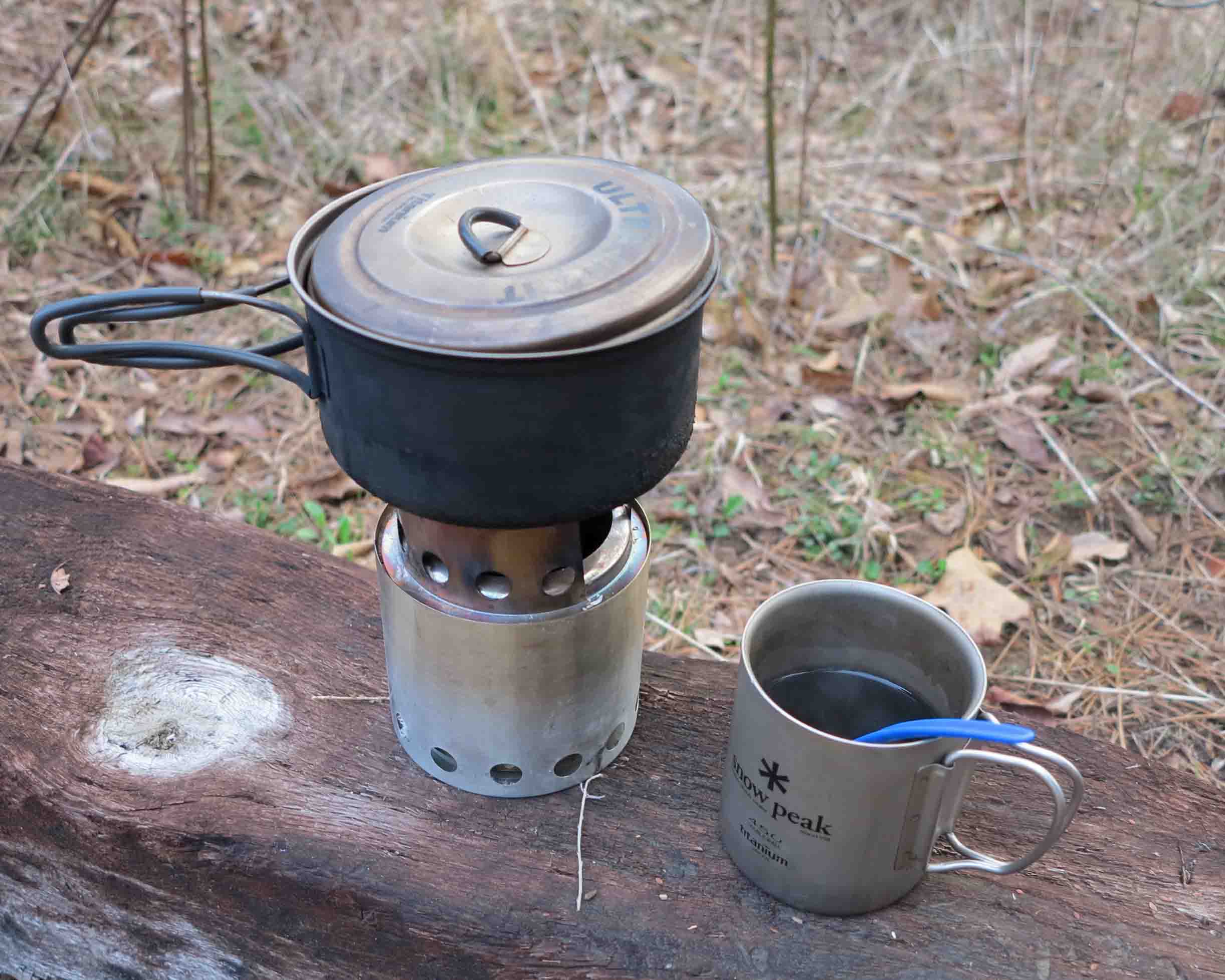
The next morning, some of that sweet water from Rush provided me with a tasty cup of coffee! Mmmm good! The freshness continues.

Mount Kessler: A Treasure in the Ozarks

Rock City Trail
Having hiked part of the Rock City Trail once before, I didn’t anticipate how beautiful the rest of Mount Kessler would be! What I found was a treasure worthy of protection and sharing. There was delight in every step…even the muddy steps.
I felt a sense of thankfulness as I walked. Thankful that this area is protected for me to enjoy. Thankful that Mount Kessler will be protected for future generations and thankful for the man who became the driving force behind this mountain.

Frank Sharp, now retired, has dedicated his skills and energy to protecting Mount Kessler, establishing Mt Kessler Greenways for that purpose. The same talents and work ethic that helped him succeed in business have served Mt. Kessler well. He spent countless hours promoting the preservation of Mt. Kessler and surrounding areas, much of which is under private ownership. Mount Kessler Greenways now include about 1,500 acres, most of which is urban forest. Approximately 1,000 acres are inside the city limits of Fayetteville.
His strategy has been to get people out on the trails of Mt. Kessler by foot or mountain bike. Once you’ve seen the area, you want to become part of the coalition to protect it. He built a massive coalition of thousands who wanted to see a protected mountain sitting at the edge of a burgeoning city. Hike the trails and see the results so far.

Frank Sharp, with his wife, sharing his vision of protecting Mount Kessler with the Ozark Highlands Trail Association.
The trails do not have blaze markings but signs are posted at each intersection. I hiked up the Serpentine Trail to access the Rock City Trail as an out-and-back. Then I did the Spellbound Trail before returning to the trailhead by way of the Trent Trail for a total distance of 9.2 miles. If hiking during a wet season, wear shoes you don’t mind getting muddy. I enjoyed walking through the mud but had a change of clothes so I could take my wife to Noodles Italian Kitchen for a wonderful post-hike meal.

Signs are posted at every intersection.
Getting There: From I-49 on the southern side of Fayetteville, take Exit 60 and drive south on Cato Springs Road for 0.6 mile. Watch for the Mount Kessler sign on the right. Turn right on Judge Cummins Rd. (Washington County 200). Drive 0.2 mile to the trailhead parking on the right. Be sure to sign in at the trail register next to the parking lot.
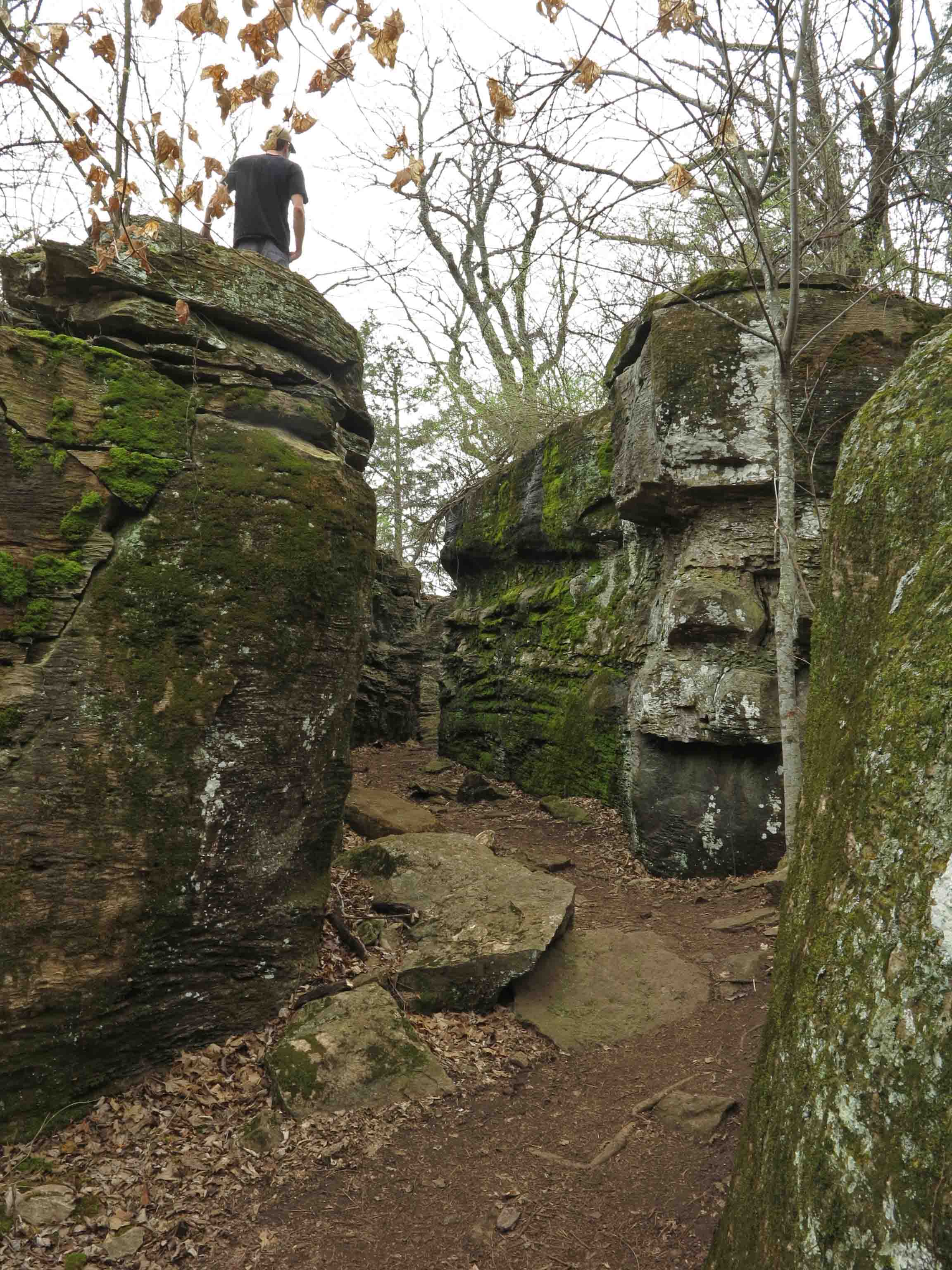
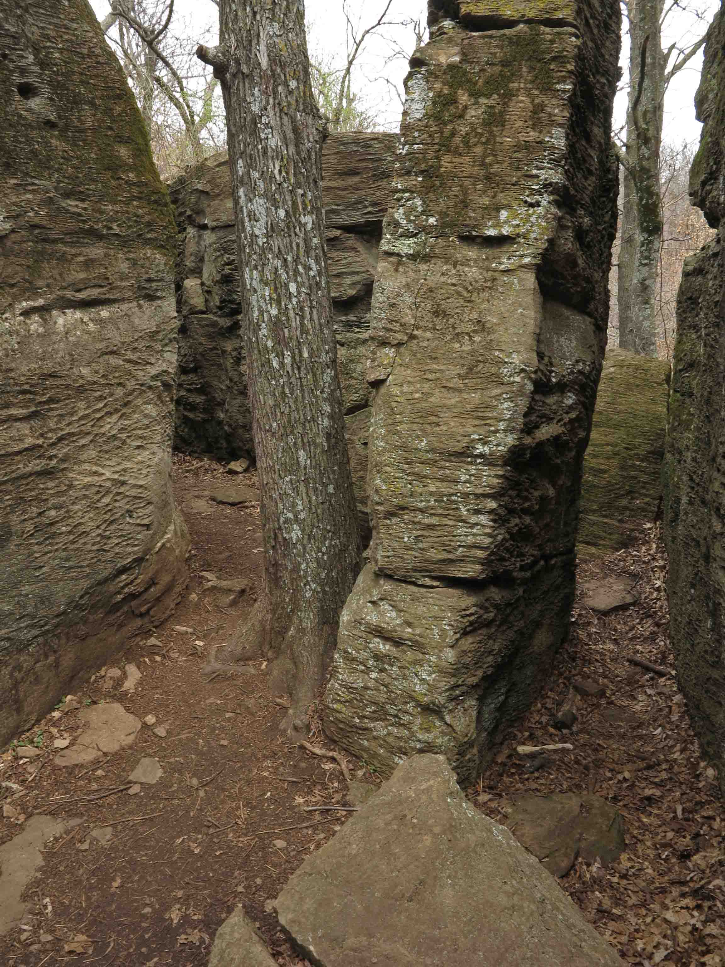
Rock City with hiker exploring on top.
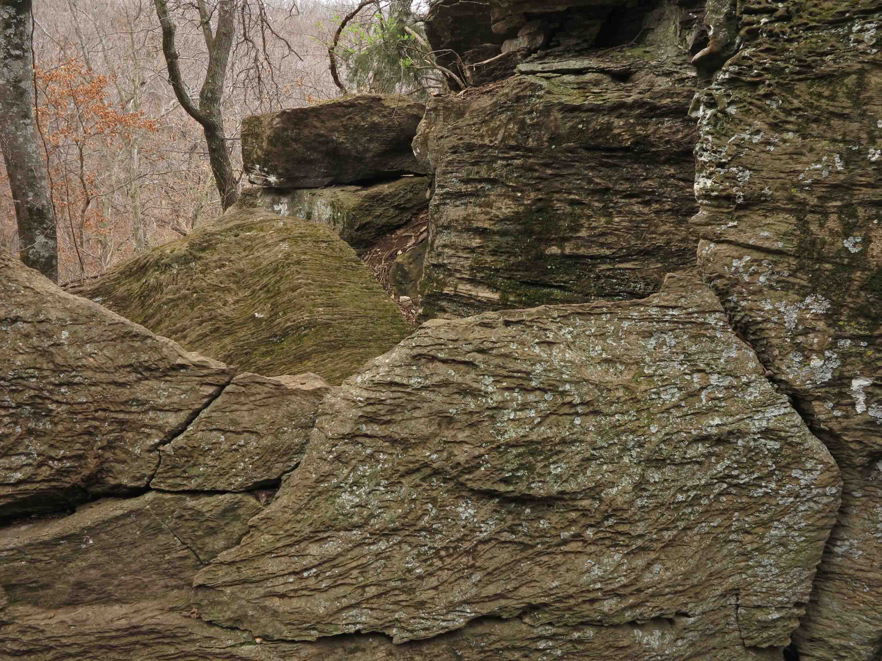
Rock formations next to the trail.

Wide open hardwoods with an occasional glimpse of civilization down below.
Haiku in the Ozarks
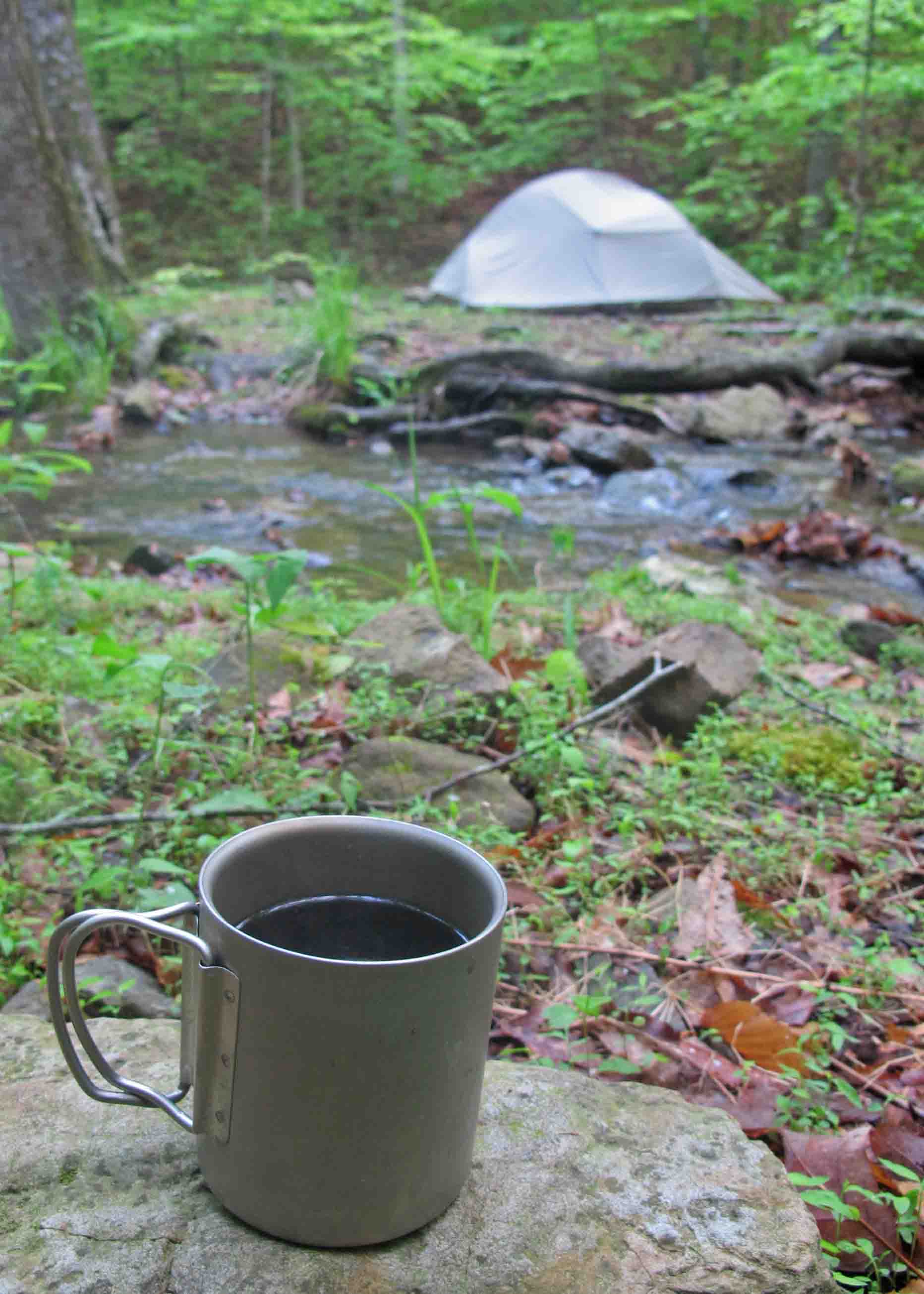
Five-star hotel and gourmet coffee next to Briar Branch
“TJ’s Household Haiku Challenge”
Black coffee on stone.
Table set for the day in
My five-star hotel.
This cup travels with me always, a favorite outdoor household item. On this cold morning, sitting next to Briar Branch in the Marinoni Scenic Area on the Ozark Highlands Trail, I felt intense thankfulness. I was thankful for the morning, the water, the coffee, and the strength that brought me there. How could I want for anything more while enjoying these five-star accommodations?

Redding Loop Trail waterfall
Hard rains have fallen.
Waterfalls flow milky white.
Sit silent and drink.
This extra Haiku came as I thought about last week’s waterfalls. No household item here unless we allow my camera to qualify. It sits in a prominent location in my home, always charged and ready for the trail.
A Waterfall Day on Redding Loop and Spirits Creek
With rain following a recent snow, I decided it was time to revisit a couple of waterfalls I’ve wanted to see for a while. The first one is on Redding Loop Trail. I’ve hiked this loop trail many times but never when water was flowing. There are two waterfalls, but this was the one I wanted to see based on the formation of the bluff and rocky drainage below the falls. I was not disappointed!
Redding Loop Trail waterfall

I spent several minutes photographing the waterfall. Hiker finally had all she could take and began barking for me to get moving. I must be a puzzle to her when I stand at a tripod with a small black box on top for a while for no apparent reason.
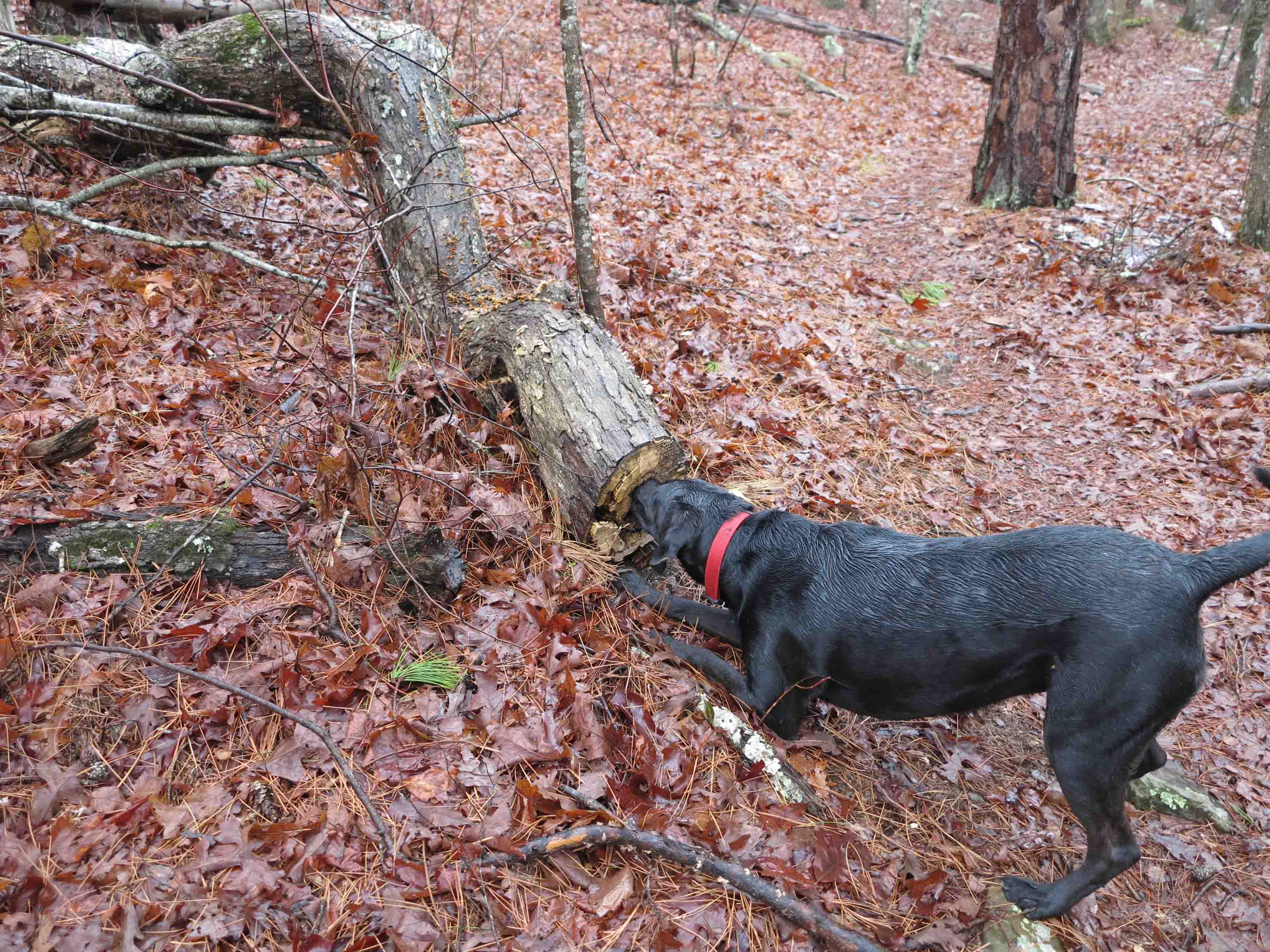
Hiker is easily entertained. She has a recurring desire to crawl inside of a log. I think she must hear something inside raising her curiosity.
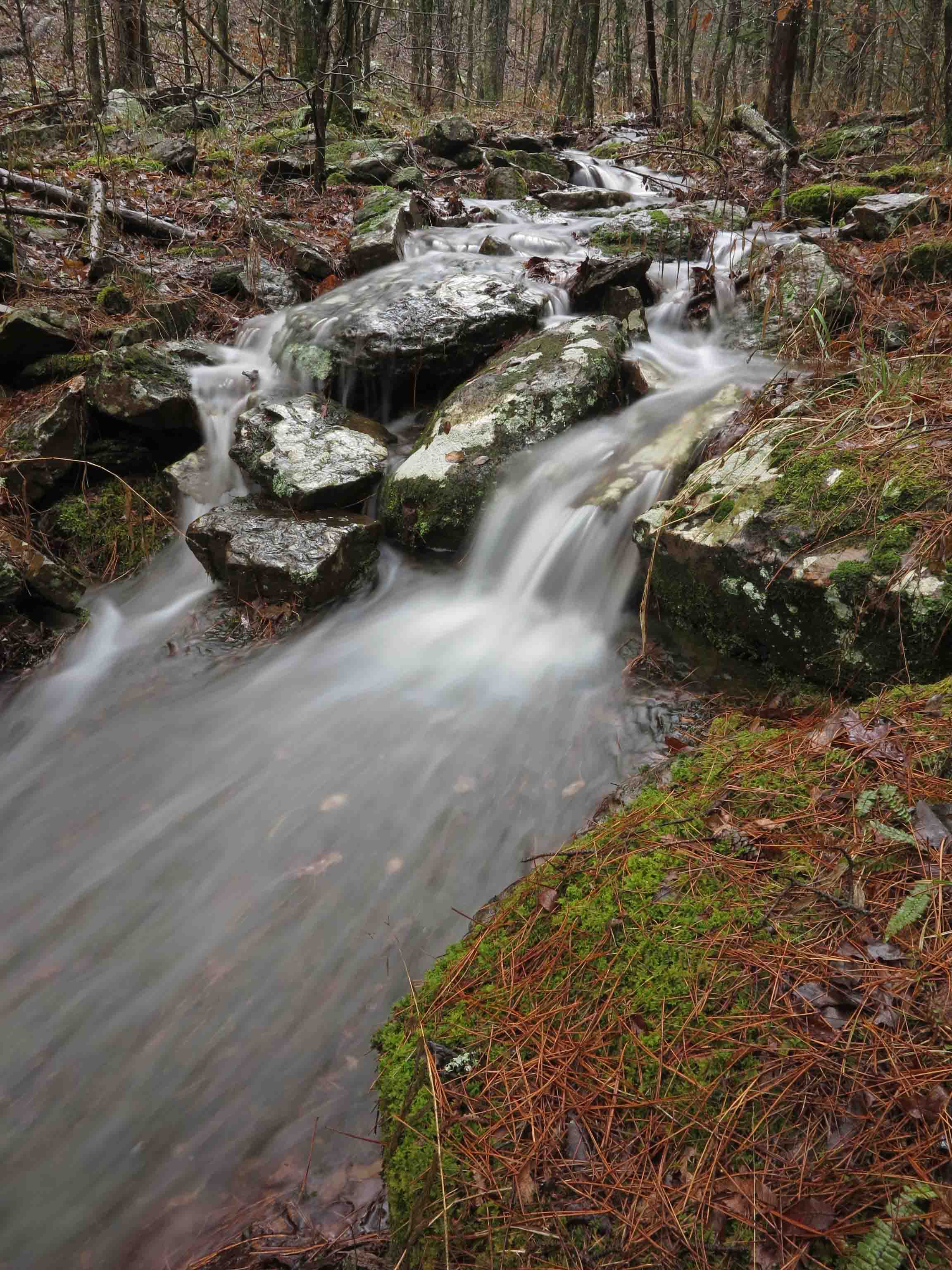
On our way back to the trailhead, I couldn’t resist spending a couple of minutes next to a small glade area that crosses the trail.

White Rock Mountain Road
After doing part of Redding Loop, the big adventure began. I drove up White Rock Mountain Road with the knowledge that my plans might change at any curve. I cleared large limbs off of the road in two spots and crossed some sections of road that were so muddy I wasn’t sure I would pass all the way through.
I had considered adding Spirits Creek as an out-and-back hike in my trail guide, but today’s drive convinced me that this route doesn’t belong in a day hike trail guide. It’s a great destination for experienced hikers, dirt road drivers, and OHT thru-hikers.
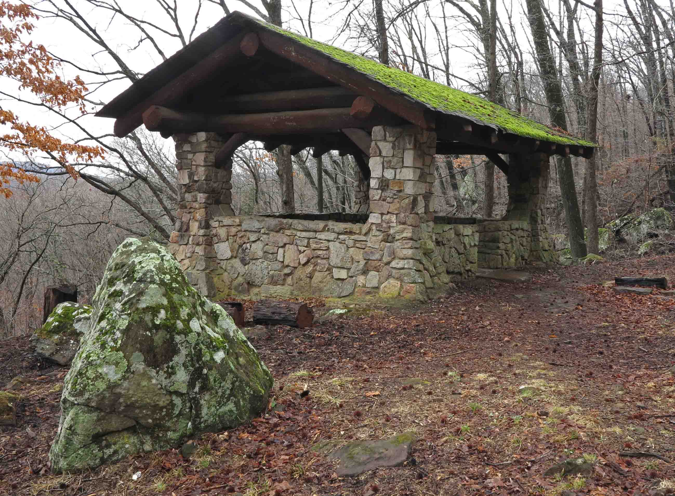
Gray Spring shelter built by the CCC.
I’ve driven past Gray Spring several times, but today it was time to stop and admire the work of the depression era Citizens Conservation Corps. It appears that Gray Spring is being maintained by the US Forest Service. On the day I visited, the area was clean following a recent controlled burn.
The rock work has stood the test of time and is still functional today. The spring is located uphill above White Rock Mountain Road and flows past Gray Spring picnic area, eventually feeding into Spirits Creek. If you’re looking for a place for a quiet picnic, Gray Spring fits the bill.

Gray Spring picnic area.

Big fire pit
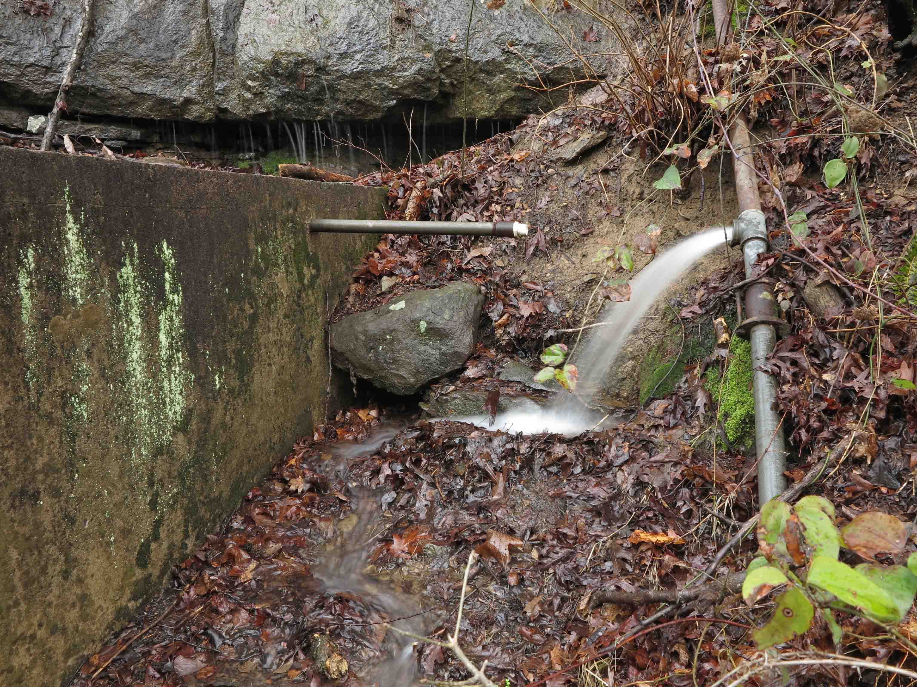
Spring up above White Rock Mt. Road
I’d like to learn more about the spring itself. This pipe ran from farther up the hill, but we decided not to explore any higher on the muddy hillside. The concrete cover appeared to be disconnected from the water source.
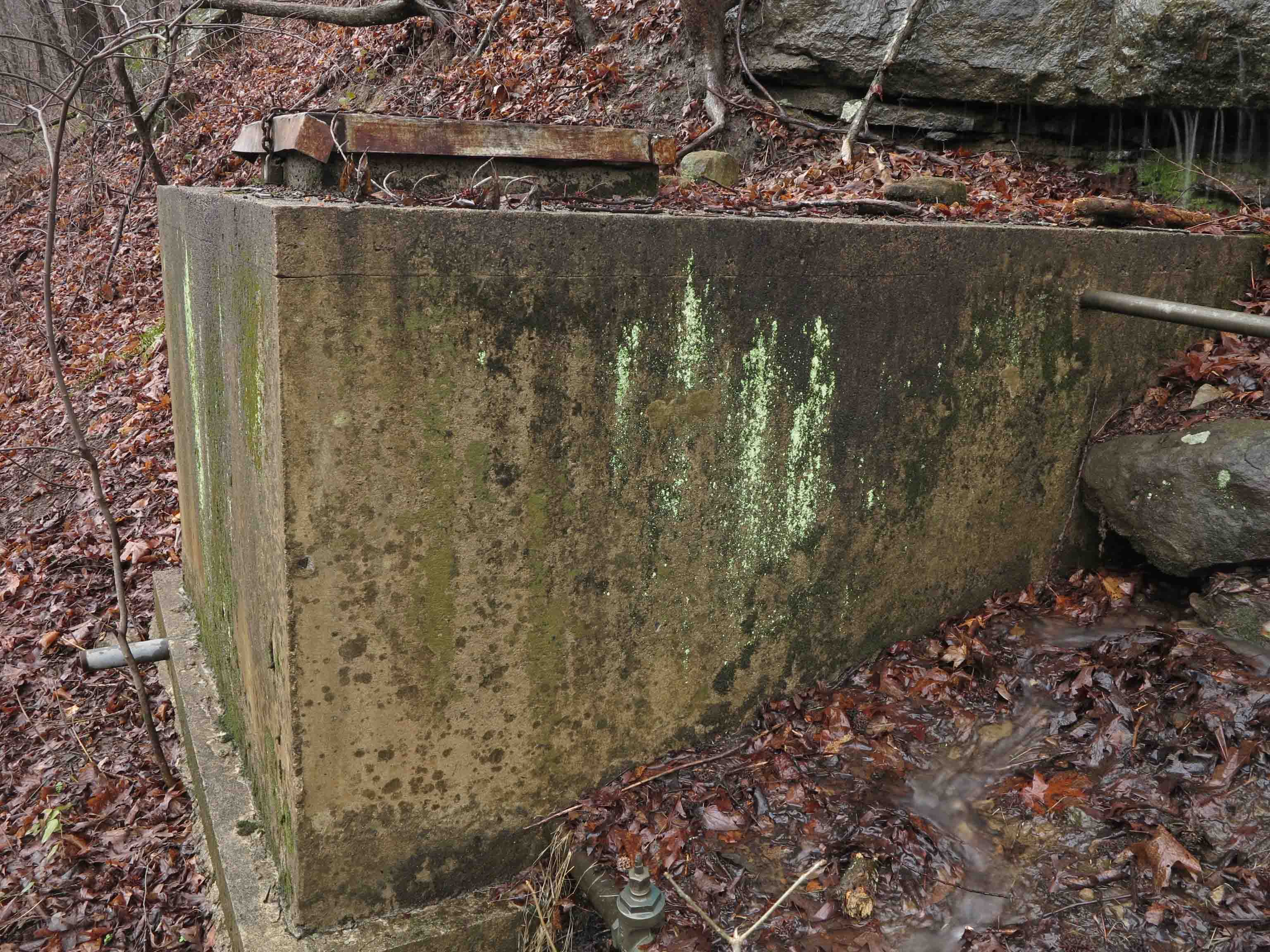
spring cover

View from the CCC Gray Spring shelter.

Ragtown Road TH for the OHT heading west.
We continued up White Rock Mountain Road for a short distance past Gray Spring and then took a right onto Ragtown Road to the trailhead. We followed the Ozark Highlands Trail down a couple of benches into the Spirits Creek valley.
We passed through a section with lots of devil’s walking sticks that usually indicate a compromised canopy and sure enough, you could see that things were pretty open in that area. Compliments to the trail maintainers for this section. It was in good shape. After the walking stick section, we entered a more open and healthy hardwood forest with little streams everywhere, including the middle of the trail. We just stomped along looking forward to Spirits Creek.
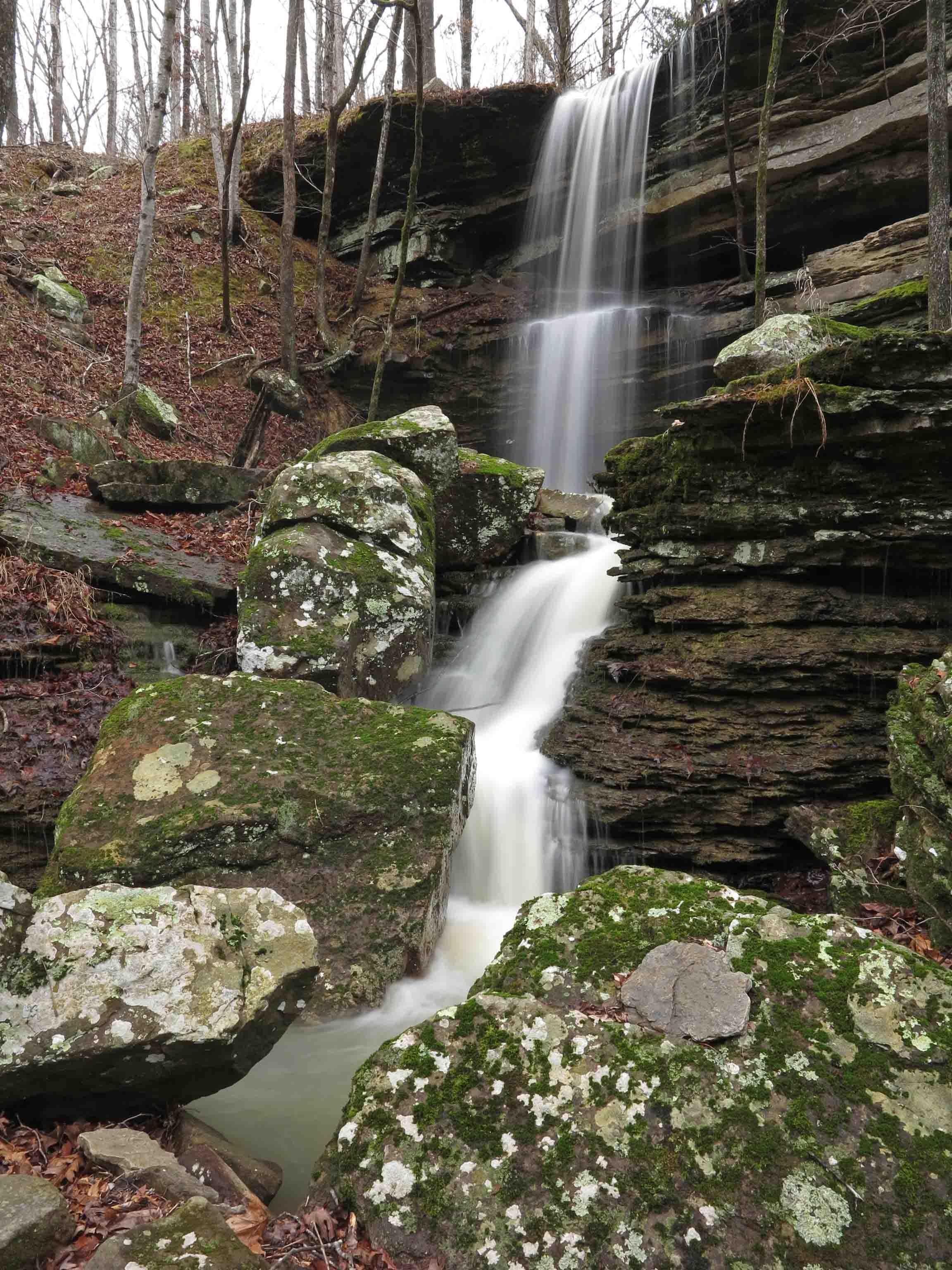
Spirits Creek falls
I have a photo of this waterfall from my thru-hike of the OHT over Christmas of 2013. That photo was done hurriedly after crossing a swollen Spirits Creek due to hard rains the night before. I camped at Spirits Creek again in the last year, but it wasn’t flowing so I was excited to be here today and spent some time with this waterfall. Hiker explored nooks and crannies of the bluffs behind the waterfalls. I was envious.

Spirits Creek falls

Noticed some white trout lilies in the moist hillsides around Spirits Creek. Their scientific name is Erythronium albidum. I don’t know plants well, but enjoy rediscovering the names I can’t remember from year to year. I hope I’ve identified this one correctly.

Spirits Creek

A favorite spot on Spirits Creek.
After the hike, we took the slow and muddy 5-mile drive east on White Rock Mountain Road to AR 23. Then we turned south for a delicious sandwich at Turner Bend Store. Hiker enjoyed making new friends and having a little snack of lunch meat from the Turner Bend crew.
Directions to Ragtown Road Trailhead for Spirits Creek access: Drive 0.6 mile south of Cass watching for White Rock Mountain Road. Drive west on White Rock Mt. Rd. for 4.2 miles, then stay right. Reset the odometer. Drive 0.8 miles farther and watch for Gray Springs down on the left. At 1.3 miles, turn right onto Ragtown Road (Forest Road 1509). The trailhead is about 0.7 miles on Ragtown Road.
Directions to Redding Loop Trail: Just north of Cass, turn onto AR 215 east. Drive 2.7 miles east and past the Redding Campground entrance. Drive a short distance (maybe 0.2 mile) beyond the campground entrance and turn right onto a gravel road that will lead you almost immediately to the trailhead.
Walls of Ice and Stone
In response to The Daily Post’s weekly photo challenge: “Wall.”
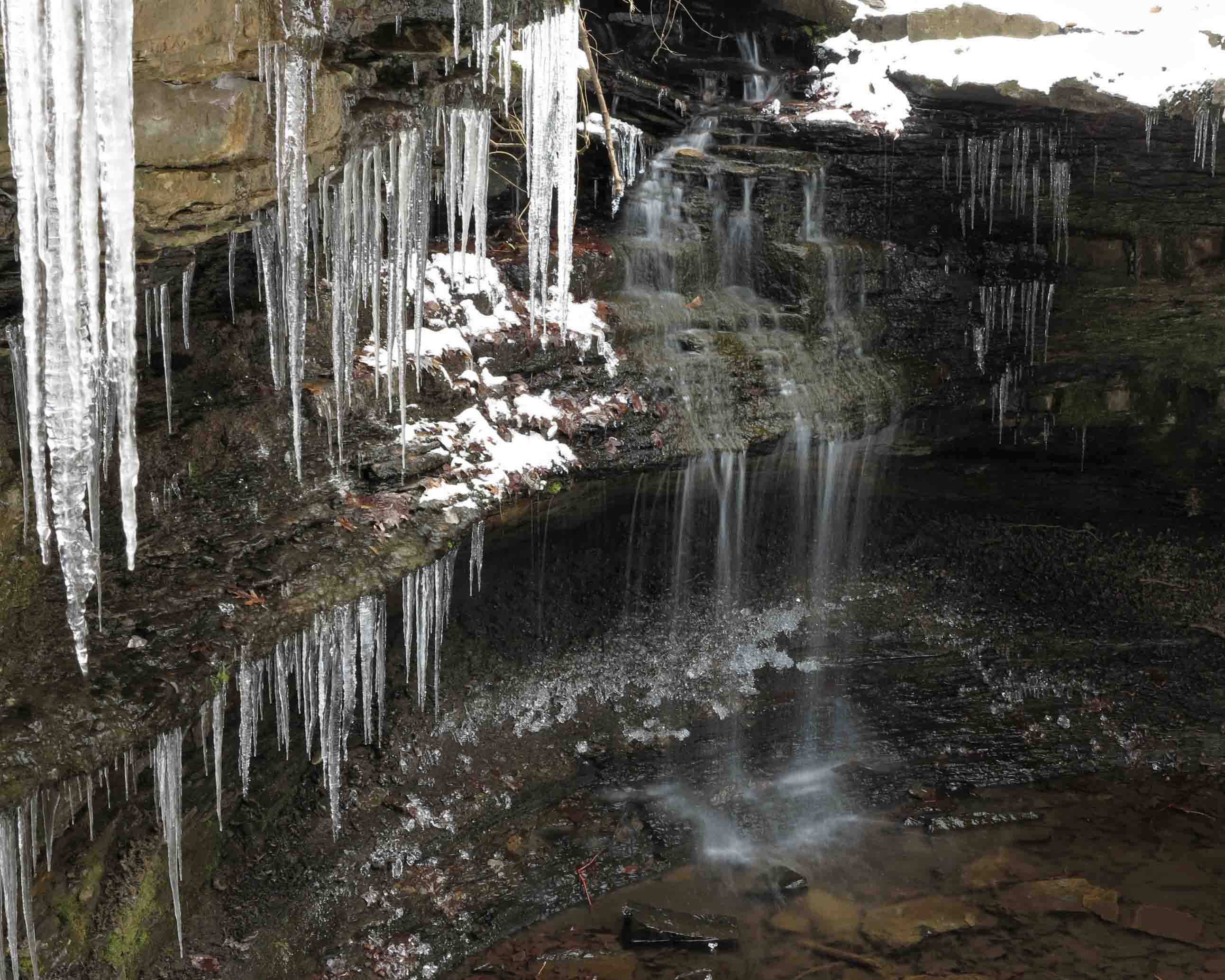
These winter pictures were taken within the last two weeks in the Ozarks. As I load these images, it is a rainy 60-degrees outside. These icy walls are gone but their stone foundations remain.
Ice flows on White Rock Mountain
Icy waterfall walls.
Detail of icy waterfall walls
Ozarks homestead stone wall



Favorite Old Trails With a Favorite New Friend
Had a great day sharing some favorite old trails with my “new” hiking buddy, found on the Ozark Highlands Trail in January of 2014.

Shores Lake to White Rock Mountain Loop Trail is one of my all time favorites in Arkansas. I’ve done it as a day and overnighter many times. Part of the attraction might be its proximity to Alma, but the real attraction for me is the water, scenic valleys, and the visual payoff of passing by White Rock Mountain. It dawned on me that Hiker-dog had never done any of this trail, so we decided to remedy this and drive through the little community of Fern to Shores Lake.
I’m working on a trail guide and decided a few months ago that this entire loop trail would not fit the book’s criteria for a typical day hike. However, the first section of the West Loop fits beautifully. The plan was to get GPS readings from Shores Lake to the White Rock Falls and then drive up to the White Rock Mountain Loop Trail. These two trails together gave us about 8 miles for the day (or maybe 10-12 for Hiker since she does a lot of off-trail sprinting).

Cascade at Bliss Spring
We met up with a delightful group of Boy Scouts at the Bliss Spring crossing. They were taking care of the environment and obviously had strong adult leadership for their troop.

Little Roaring Falls
White Rock Creek was flowing. We left Hiker’s pack and my hiking poles on the trail and scrambled down (no trail here) to check out the Little Roaring Falls. “Little Roaring Falls” is my name for this waterfall because you’ll hear a low roar as you approach. Hiker loved this spot and took the opportunity to explore over, under, and around the falls. She also had a good swim below the falls.

Hiker exploring Little Roaring Falls
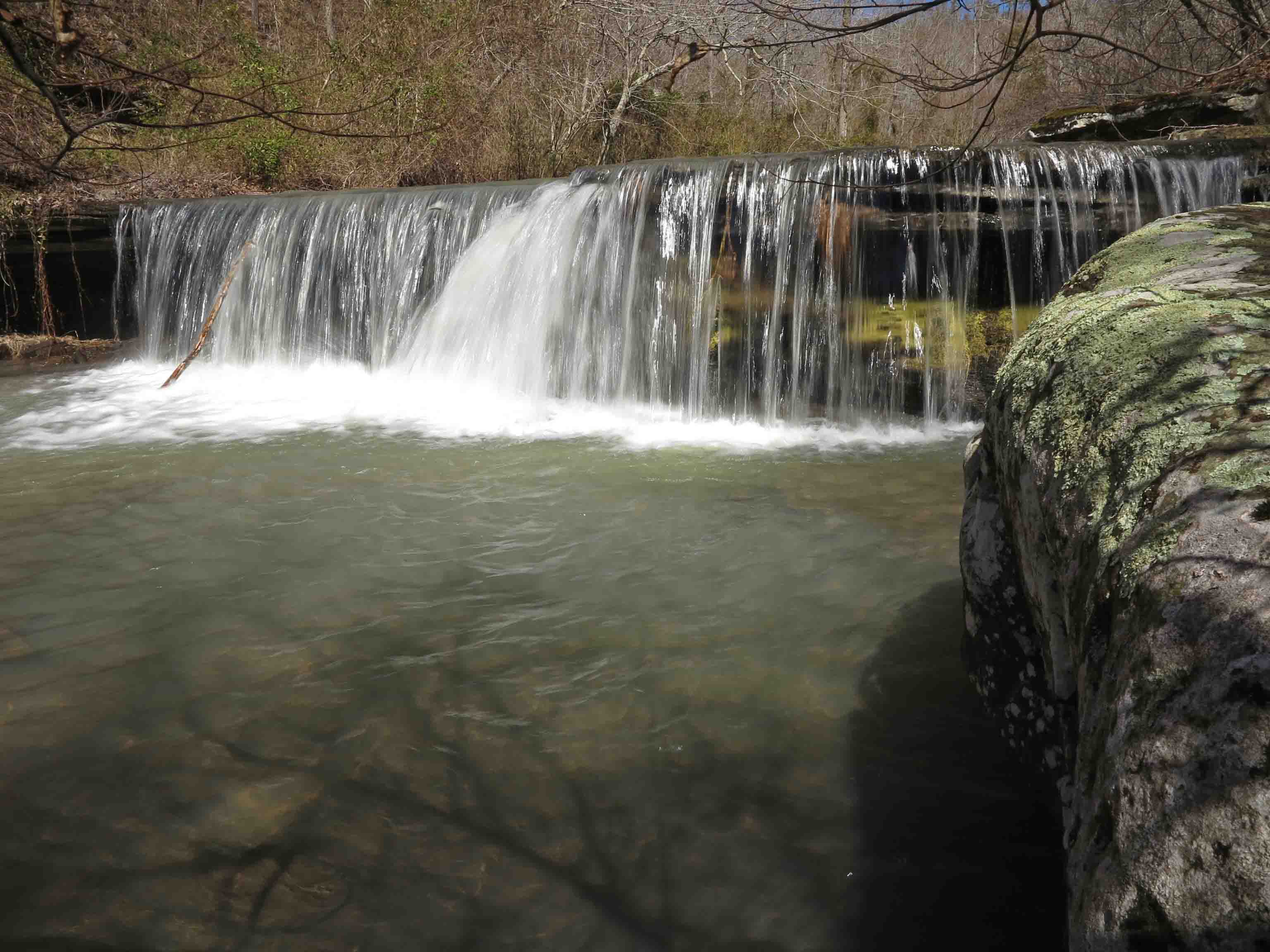
I wished for a cloud cover, but it was a crystal clear day making for less than ideal photography lighting.

White Rock Falls
We continued down the trail, arriving at White Rock Falls at 2.8 miles. We returned to Shores Lake for a roundtrip hike of about 5.6 miles; a perfect day hike!
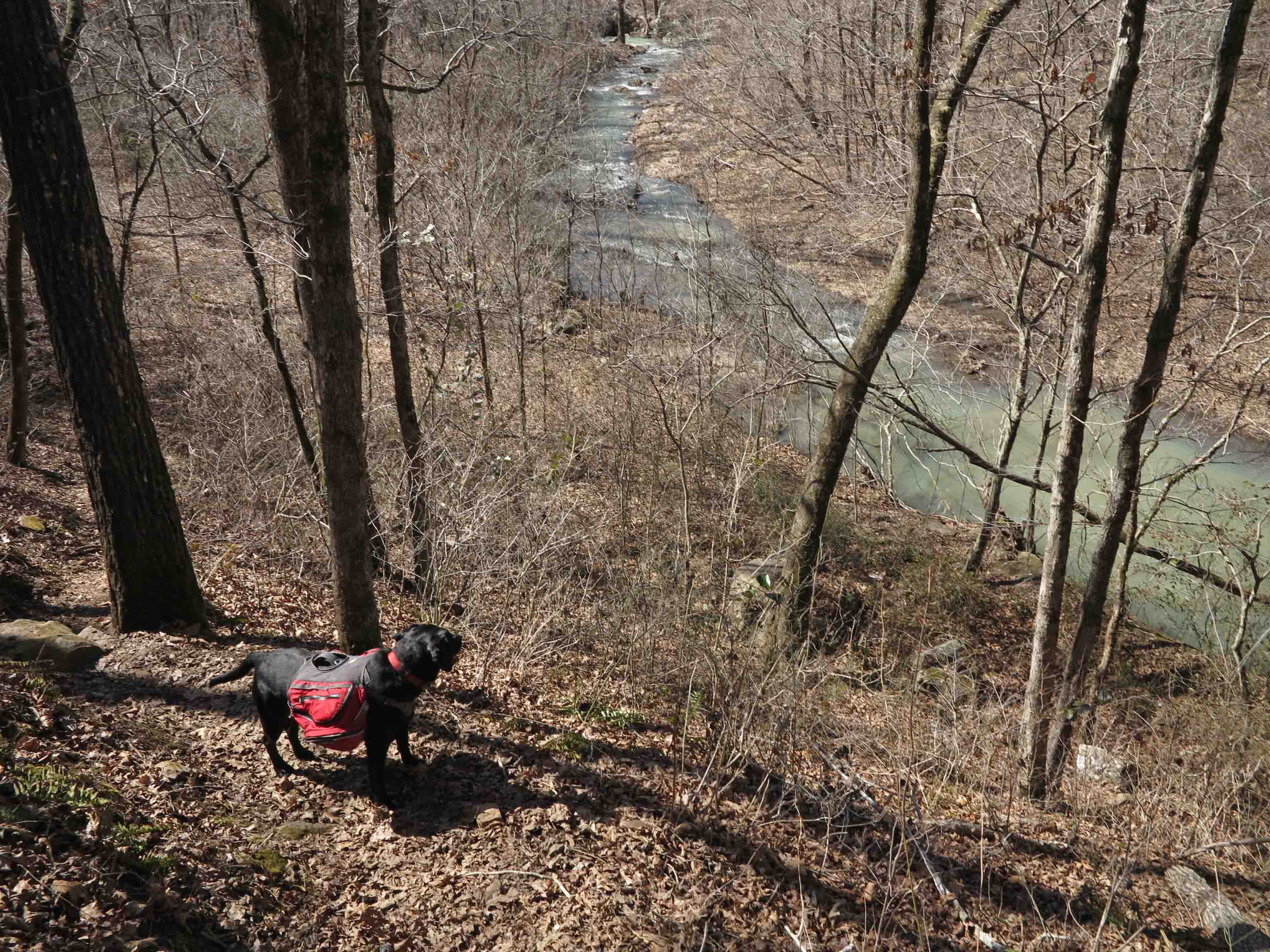
Hiker taking in the view of White Rock Creek as we returned to Shores Lake.
Other than the scout group, we passed by a nice couple from Little Rock and then saw another couple beginning their hike as we finished. I remembered Tim Ernst’s comment during his photo presentations, “The Ozark Highlands Trail is Arkansas’ best-kept secret!”
Great trail maintenance work was done in early fall on this trail. Because of the loss of parts of the tree canopy in areas, maintenance can be challenging, and it’s a tribute to the volunteers of the OHTA who maintain this trail. Check the OHTA website for trail maintenance dates. Good fellowship and good work! ozarkhighlandstrail.com

We drove up to the Top of White Rock Mountain to hike the 2-mile loop trail. It had been several years since I did this loop on a foggy day, so this was like a brand new hike to me.
The sign saying to keep an eye on your children gave me pause. I guess Hiker-dog could be thought of as a child at less than two years old, but between the two of us, I was more likely to fall. In fact, children suffer falls less often than adults. Maybe this sign should read, “Children, keep an eye on your parents.” I decided Hiker would be careful around these high bluffs.

Ice on the east side of White Rock Mountain
Some massive ice flows covered portions of bluffs, especially those protected from the sun. Some snow remained on the east side of the trail but it was now a slush and safe for walking.

West side of White Rock Mountain
It took a while to walk this short loop trail. Found myself gawking at views every step of the way. If you do this hike, glance at the trail often to ensure you don’t go over the edge while being entranced by the views. Thank you to the volunteers in the Ozark Highlands Trail Association for trail maintenance! I saw a lot of evidence of work done last fall.
Hiker-dog and I would like to spend a few days camping on White Rock Mountain and exploring this loop with my camera in different light and at different times of the day. Rustic cabins close to the trailhead are nice options, too, but Hiker is definitely an outside dog!

West side of White Rock Mountain

White Rock Mt.

Shelter on the southwest side of White Rock Mt.
Getting there:
Shores Lake Campground – Take Exit 24 from I-40 and drive north on AR 215 for 9 miles to Fern. Follow AR 215 right at 9.4 miles. At 12.2 miles, drive straight off of AR 215 onto Bliss Ridge Road. Turn right into the Shores Lake Campground at 13.6 miles. The trailhead is at the north side of the campground.
White Rock Mountain Loop – Continue past Shores Lake Campground on Bliss Ridge Road (dirt) for 4 miles then turn left onto White Rock Mountain Road. After 2.2 miles, turn right and drive the final 1 mile up to White Rock Mountain. Continue past the White Rock Mountain Campground, caretaker’s residence, and cabins. The White Rock Mountain Loop Trailhead is at the end of the road. Total distance from I-40 is approximately 21 miles.
Unexpected Pleasures of Distance – Thoughts on a Passage by Colin Fletcher


Excerpt from The Thousand Mile Summer, by Colin Fletcher
As Colin Fletcher’s thousand miles approached its conclusion, he became nostalgic and experienced mixed emotions about reaching the end of what he called “The Walk.” He captured what many backpackers feel as they fall into the rhythm of an extended trip.
In the passage above, Fletcher became aware of the many sounds and sensations of his long distance walk and how they “had become as much a part of The Walk as deer tracks in the dust or the champagne taste of mountain water.” He reminds us to enjoy the sound of our boots on the trail, noticing different tones and inflections, depending on the type of soil, snow, or rocks. He even finds comfort in the weight of his pack. You know you’re having fun when you start “enjoying the self-reliant feeling of the pack’s weight!”
Prior to this passage, Fletcher described how his “apartment” was set up each day when backpacking. I could identify with his “office,” organized in his boots stuffed with notebooks, pencils, and glasses next to his head. His “kitchen” began a few inches away from his boots. He described how “domestic details” like heating water for morning tea had become automatic without any wasted motion or thought.
I never met Colin Fletcher who died in 2007 at age 85, but knowing an Arkansas hiker named “Wildman” was like meeting Fletcher’s kindred spirit. Wildman (Carl Ownby) lived well into his 80s and hiked thousands of miles. He used to slow down as he entered the last stages of a trip because he didn’t want it to end. I wonder if it was because he was going to miss his “tiger juice,” a mixture of several undisclosed beverages. He assured me it wasn’t the “tiger juice” but because he loved hiking long distances so much.

“Wildman” Carl receiving an award for his years of service to the Ozark Highlands Trail.
Colin Fletcher’s books, The Thousand-Mile Summer and The Man Who Walked Through Time, are two of my favorites. The Thousand-Mile Summer has a copyright of 1964. My hardback copy, found in a used bookshop, is a first edition. It has no great monitory value, but it’s a treasure to me.

Illustration on the title page of The Thousand-Mile Summer.
Weekly Photo Challenge: Campfire “Reward”
In response to The Daily Post’s weekly photo challenge: “Reward.”
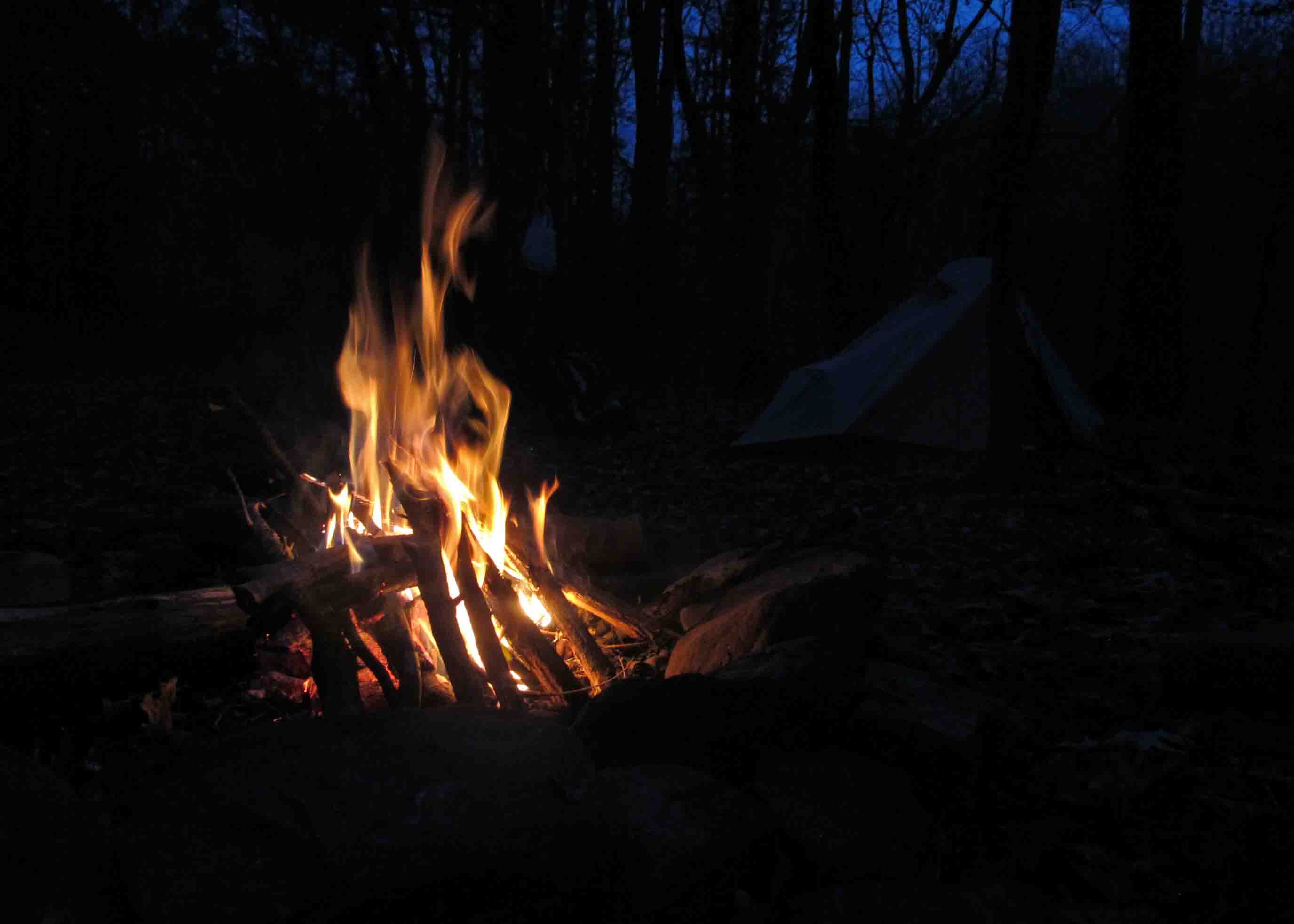
After hiking in the snow today, I was reminded of what a “reward” a warm campfire is at the end of a cold winter’s day.
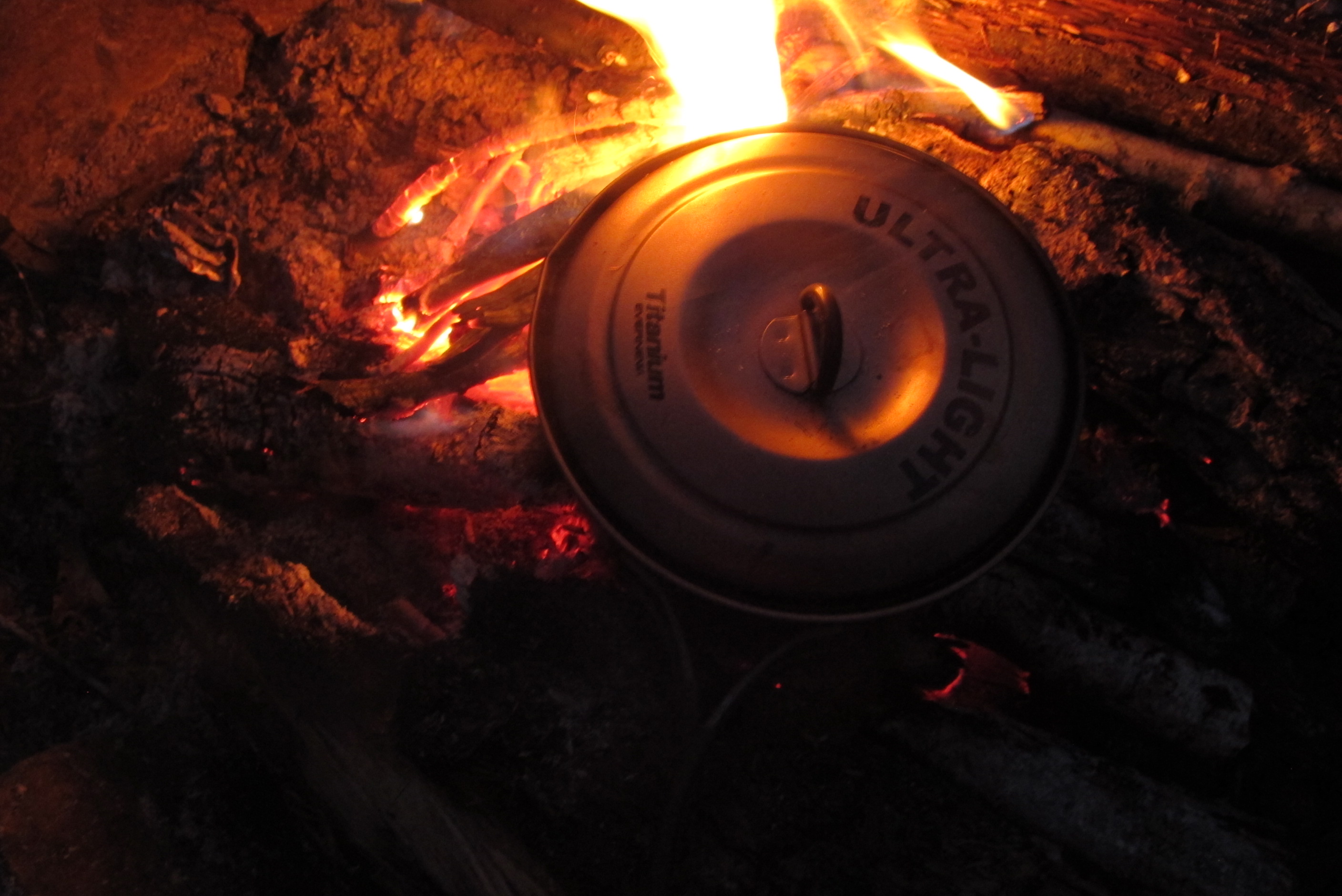
Pasta dinner.
A hot dinner cooked over the fire is one of life’s simple pleasures and a just “reward” for miles traveled.
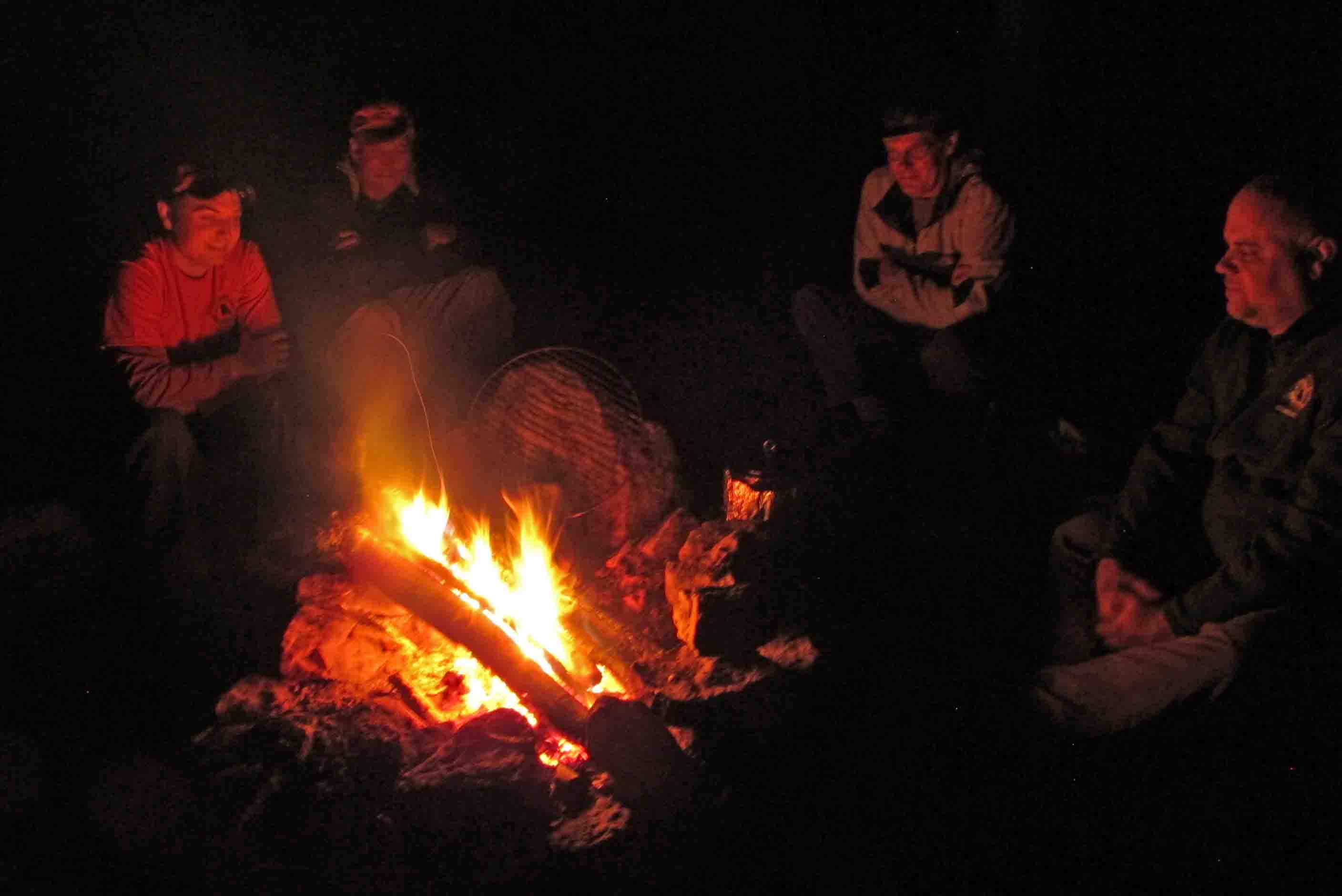
Time with friends around the campfire is a great way to end the day on the Ozark Highlands Trail.