We did not want to lose momentum and conditioning from our first two outings and were anxious to get back on the trail. We selected January 16-20 to finish our third leg of the trail to complete the whole 180 miles of the Ozark Highlands Trail. To read about our eleven days of hiking the first 125 miles go to Walk, Eat Sleep, Repeat.
Packing was much easier for this outing because my third supply bag was still together and ready to go. My gear arrangements from the previous two legs of the hike were still fresh on my mind. One new addition was a zero-degree sleeping bag. I would find that this bag worked well as a blanket until temperatures got down into the mid-twenties. Then it was time to crawl in and zip up!
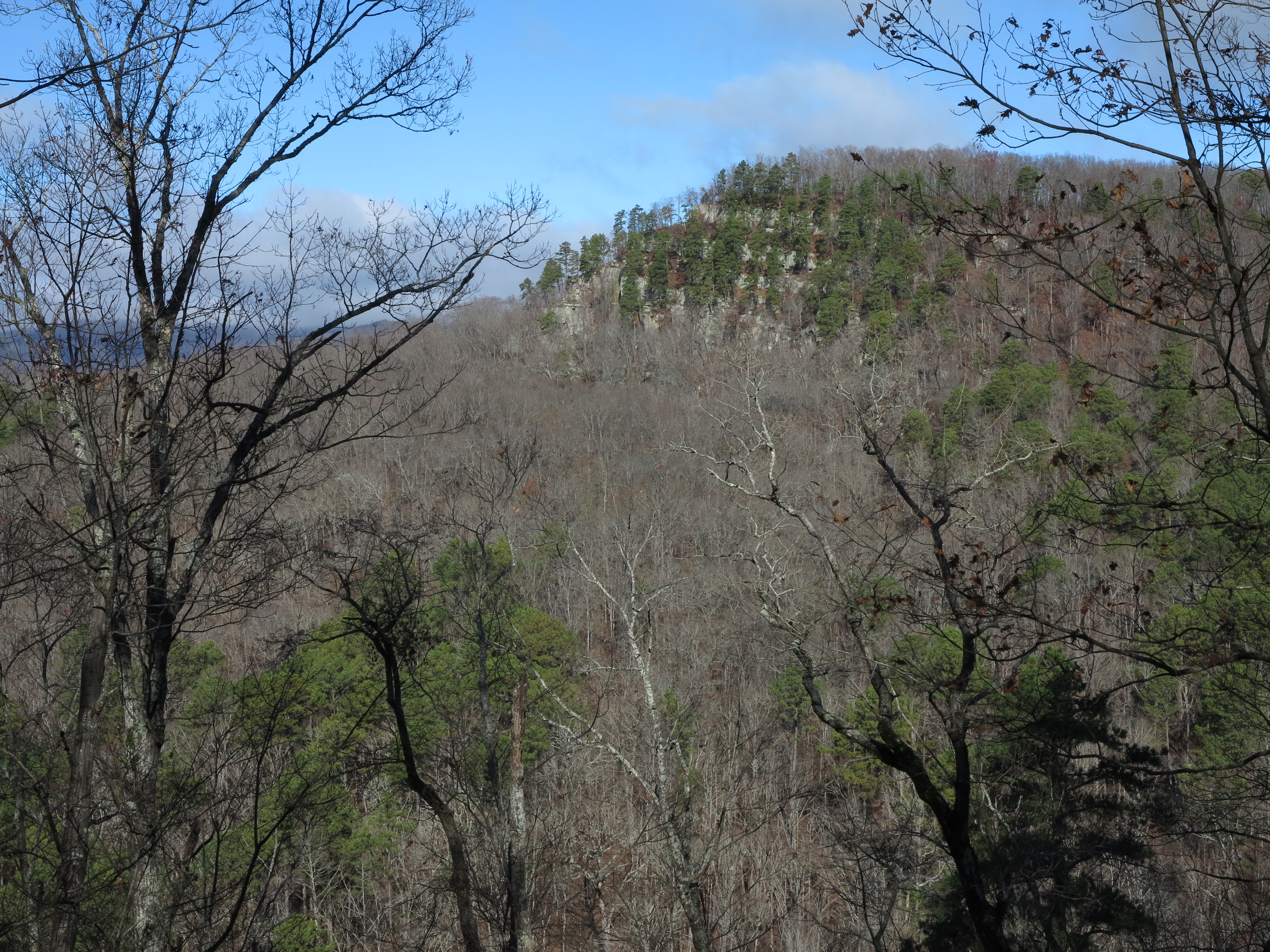
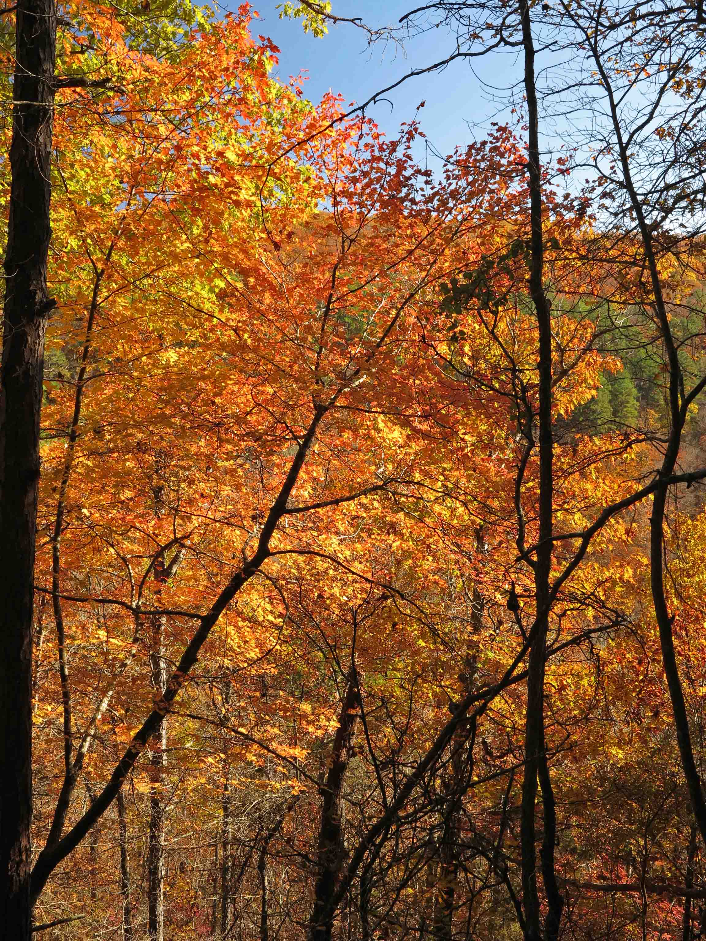
We were anticipating some of the best hiking weather yet and wouldn’t be disappointed. We had temperatures from the mid twenties to the 60s. The following layers and a dry bag with base layers have kept me comfortable and safe in any conditions I’ve faced here in Arkansas.

Warm layers

L to R top: Food bag, cook pot, Esbit stove, cup
L to R bottom: sleeping bag, mattress, tent poles and tent.
We arranged a shuttle with Mark at Haggarsville Grocery and planned to come off of the trail between 2:00 and 3:00 p.m. on Monday, January 20th.

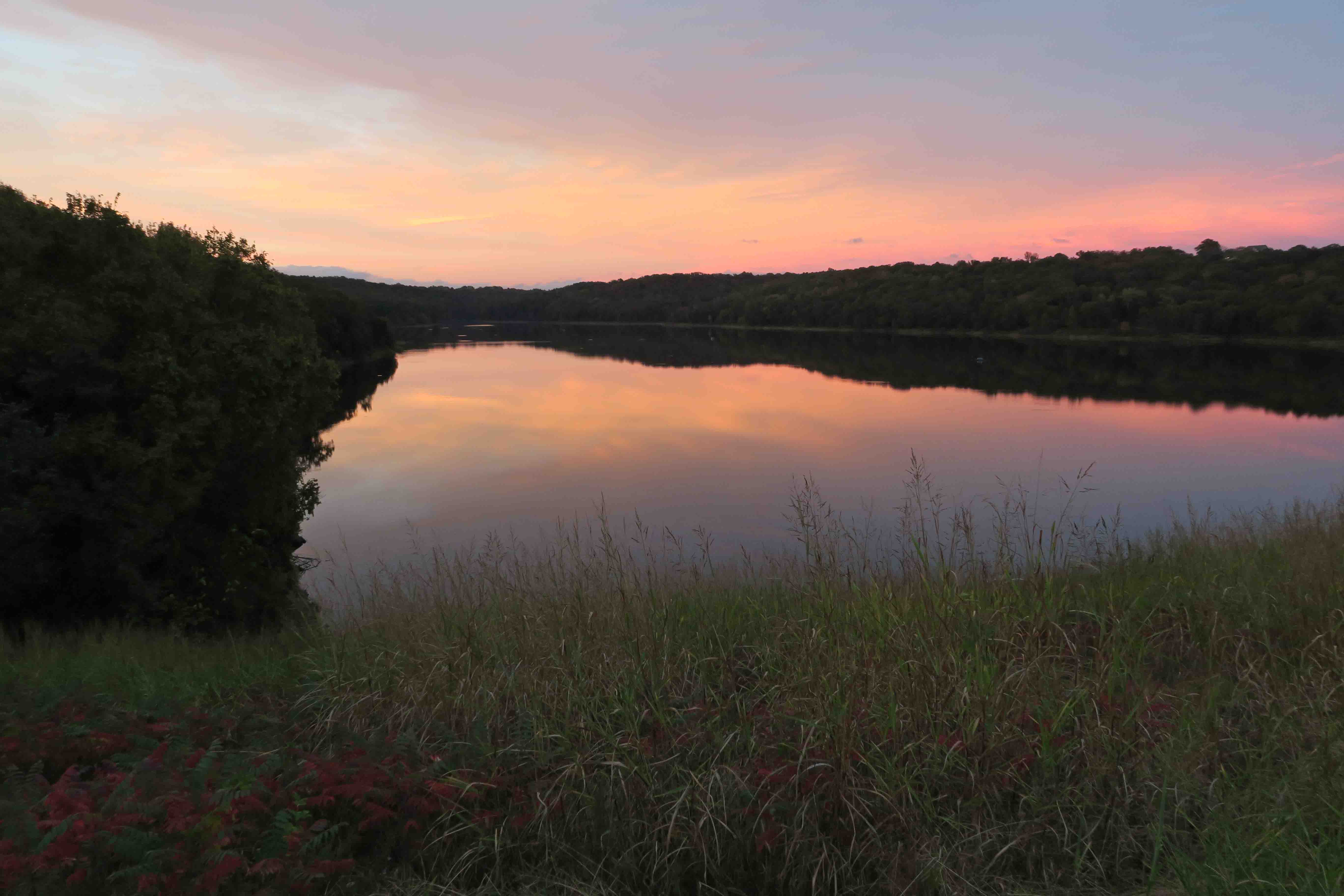
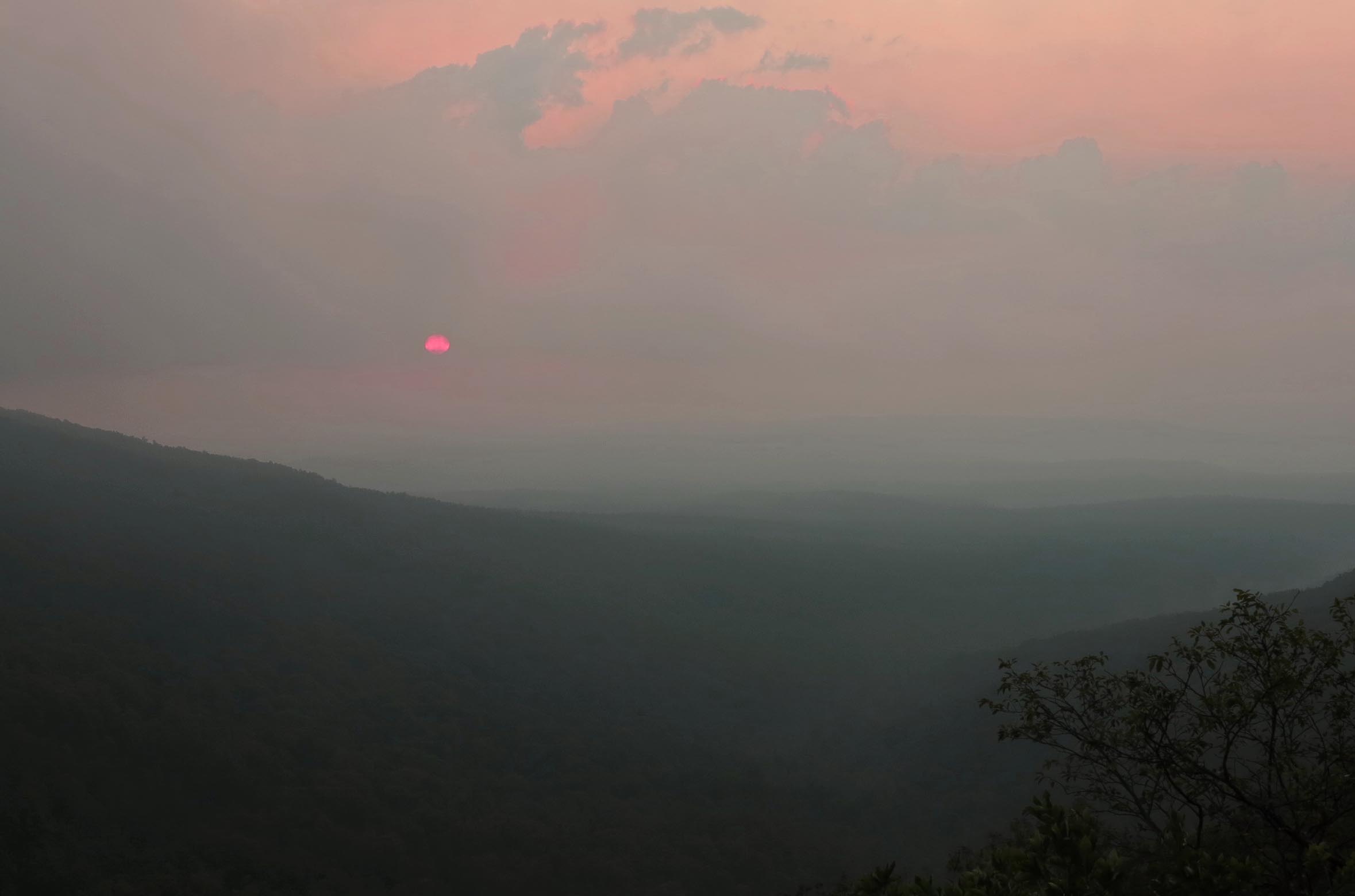
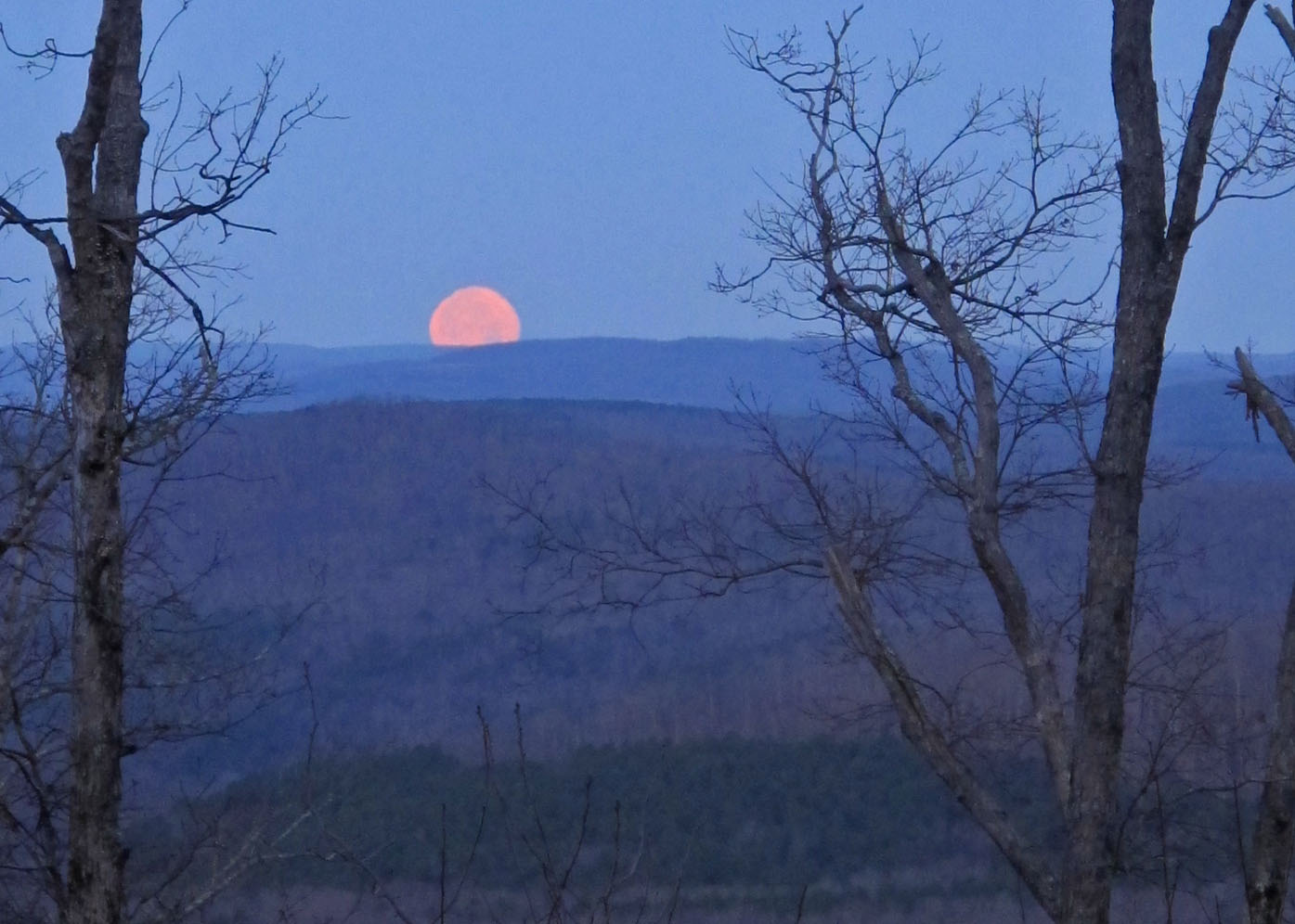
Moonset from Fairview Campground.
We camped at Fairview Campground so we could get an early start the next morning. This moonset seemed to promise good travels. I slept in the back of my Jeep in my 20-degree bag so my backpack would be undisturbed and organized for the trip. It felt good to cross Highway 7 the next morning heading east. This would be the last paved road we crossed for the next fifty miles.

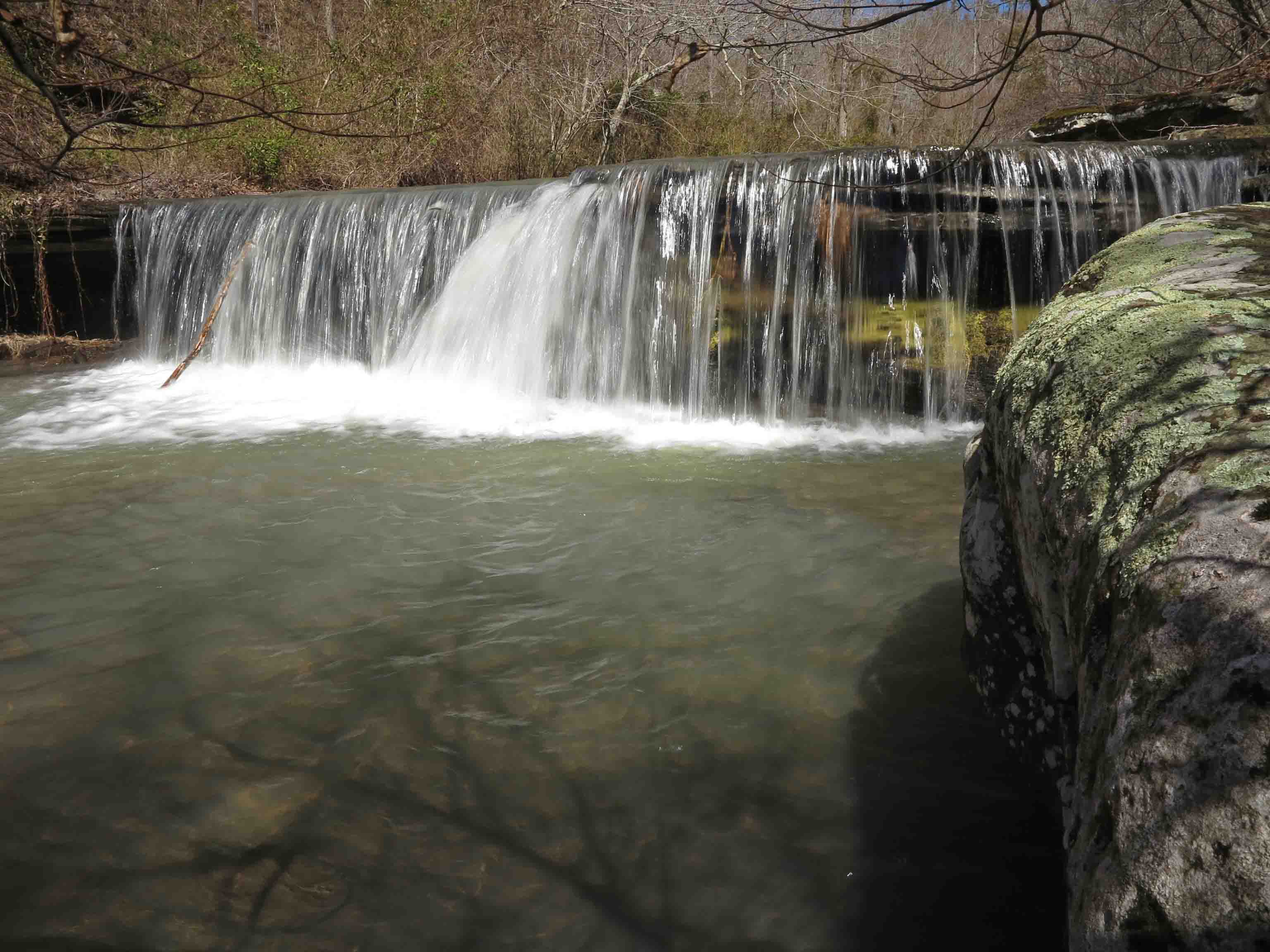
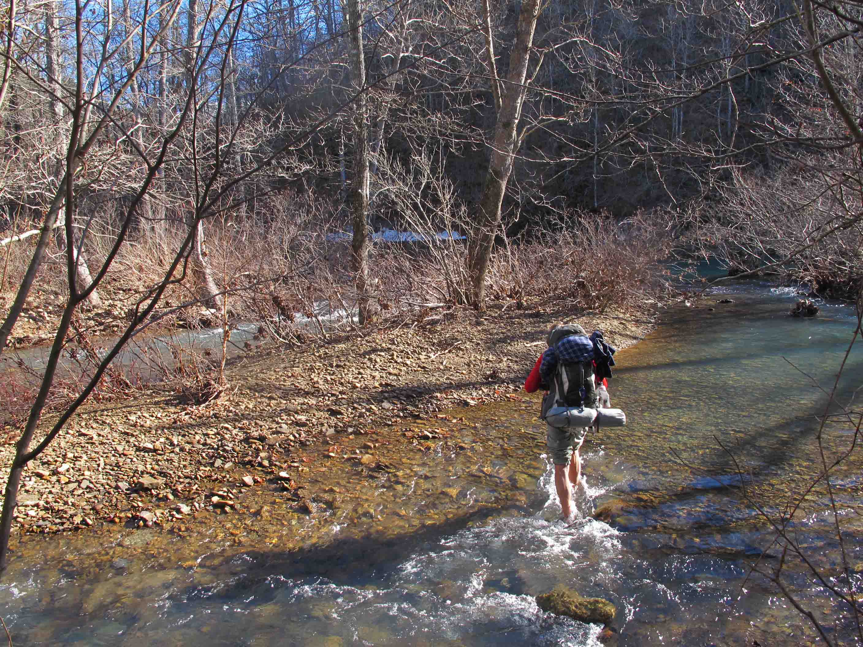
Crossing Richland Creek at the CCC Camp

Richland Creek drainage next to the CCC Campground.
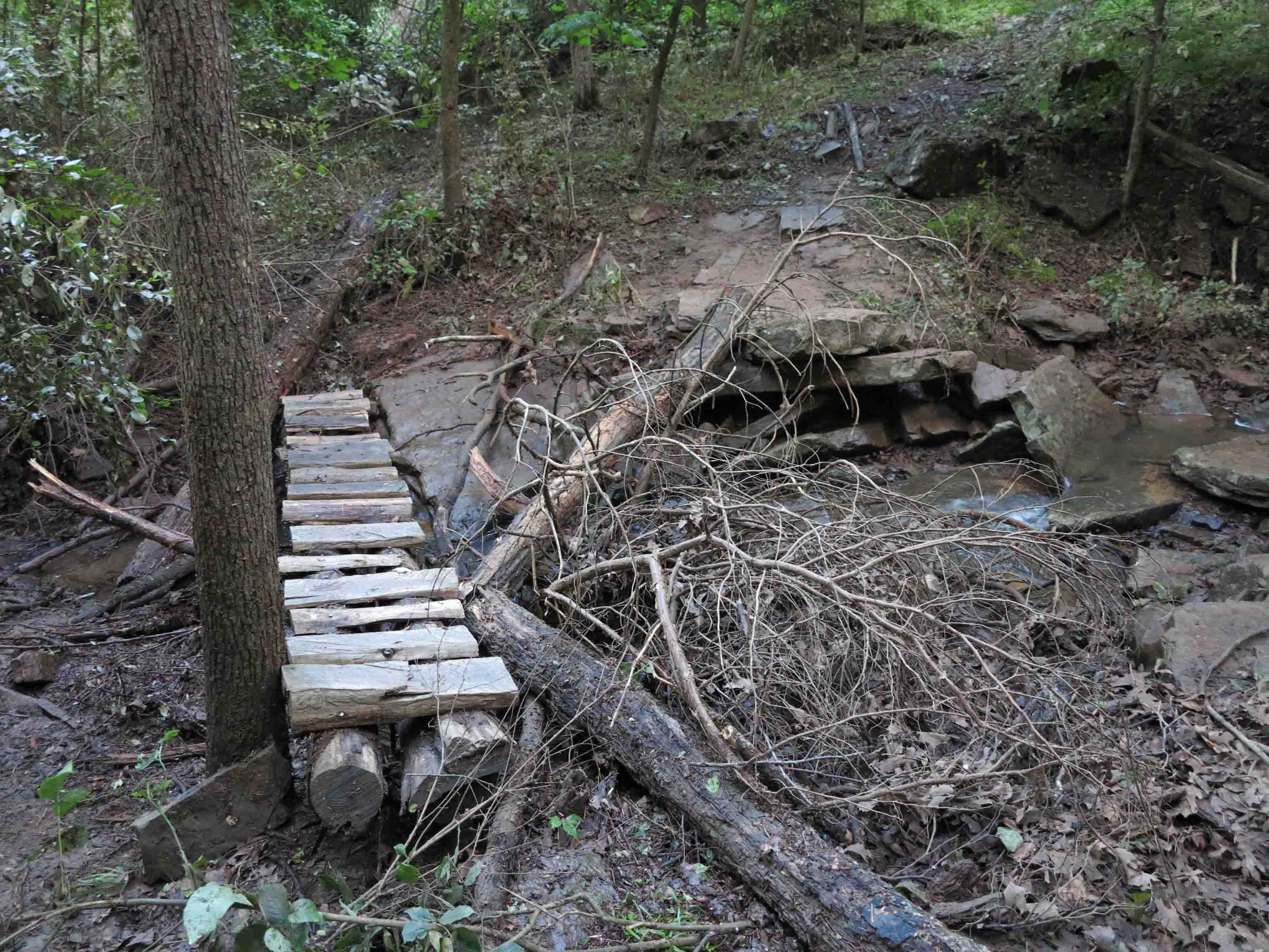
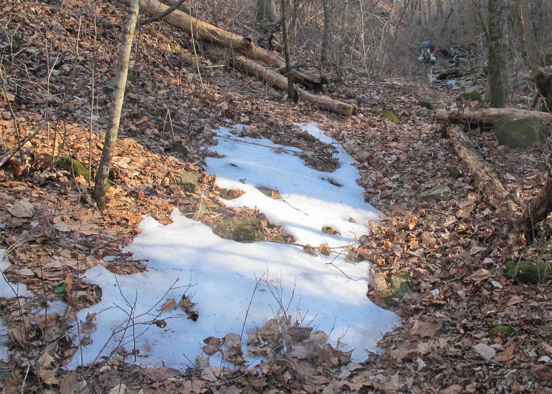
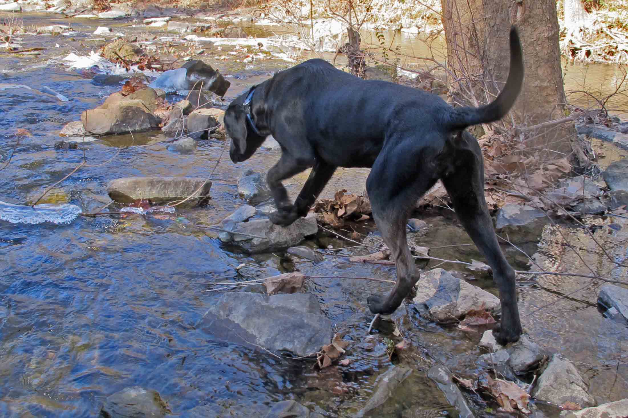
Creek crossings were easy but looking at remnants of earlier snow while standing in a cold mountain creek will numb your feet within seconds.

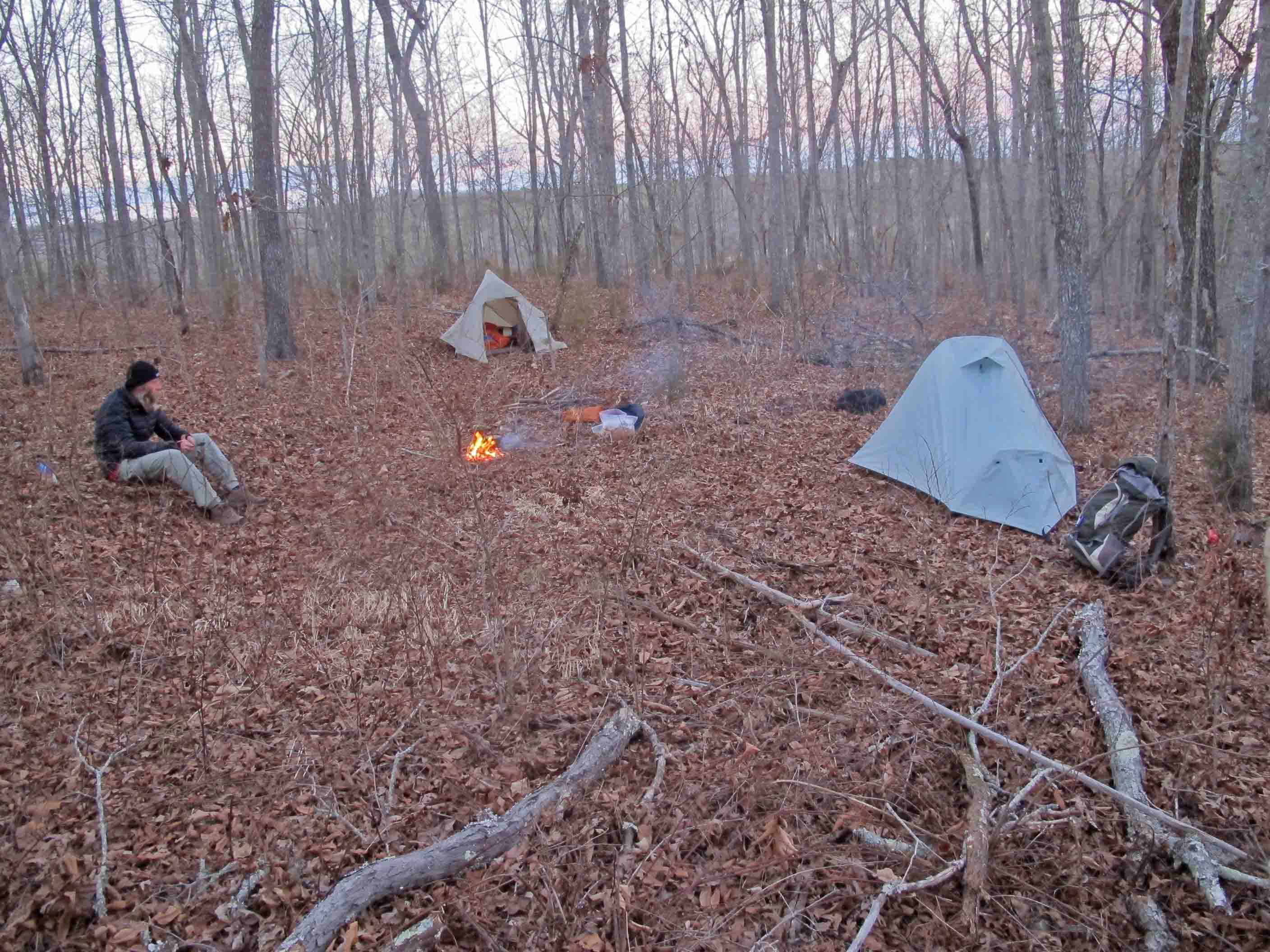
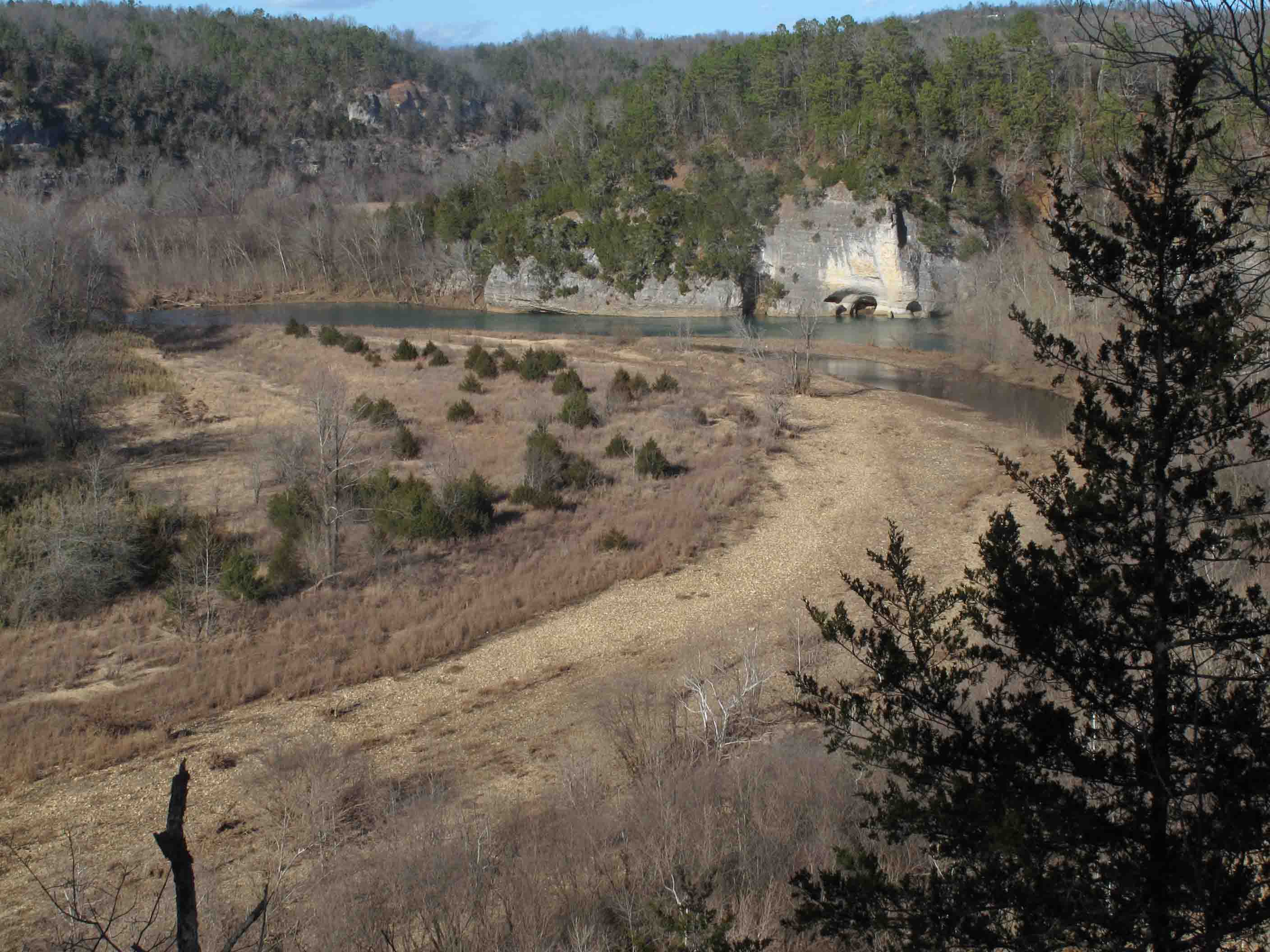
We were beginning to fear that water and a campsite would not appear on our second night but this spot didn’t disappoint. We enjoyed a nice view and one of our coldest nights of the trip. I found that by slipping my water pouches under the edge of my tent floor I could avoid having frozen water the next morning.
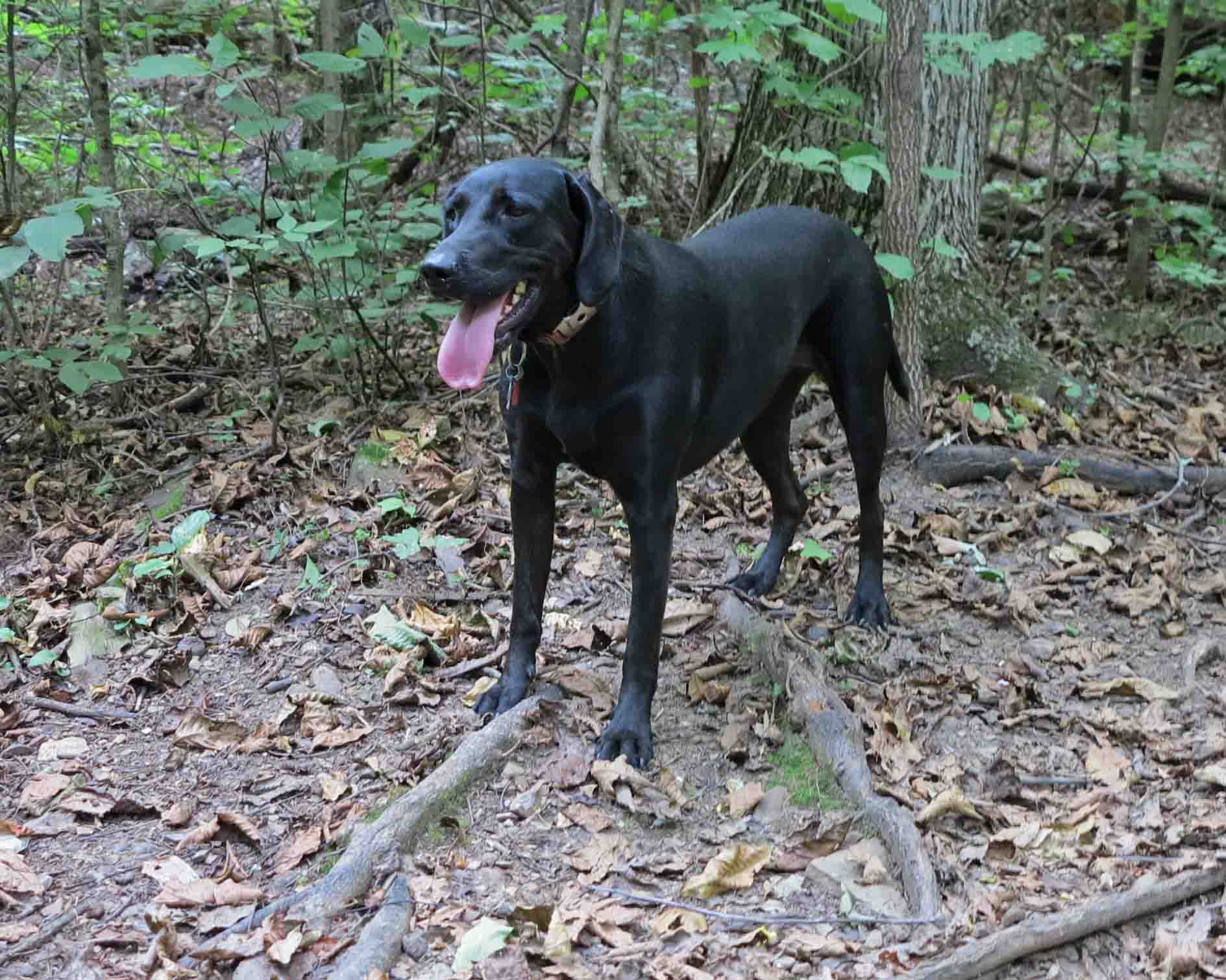
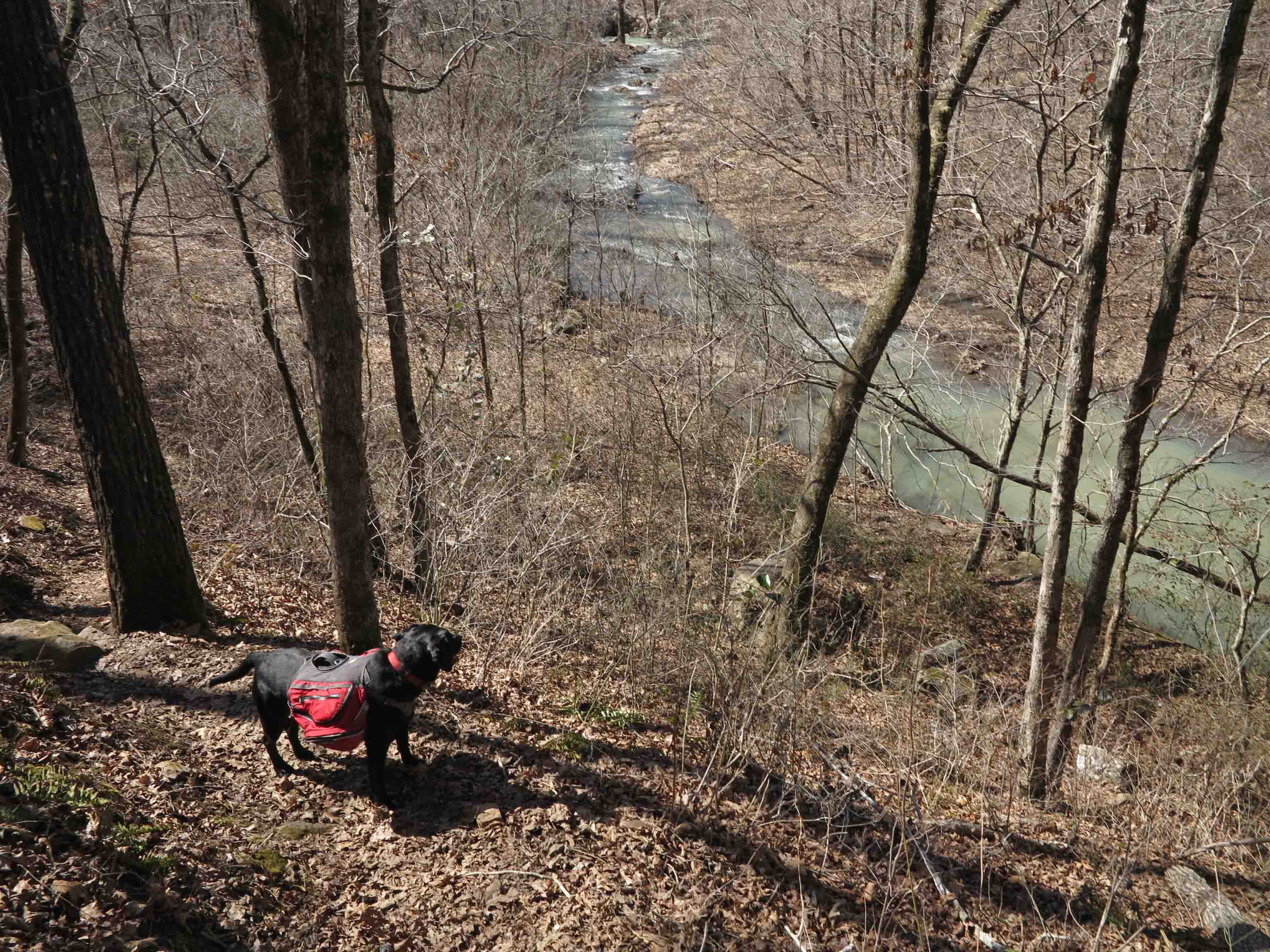
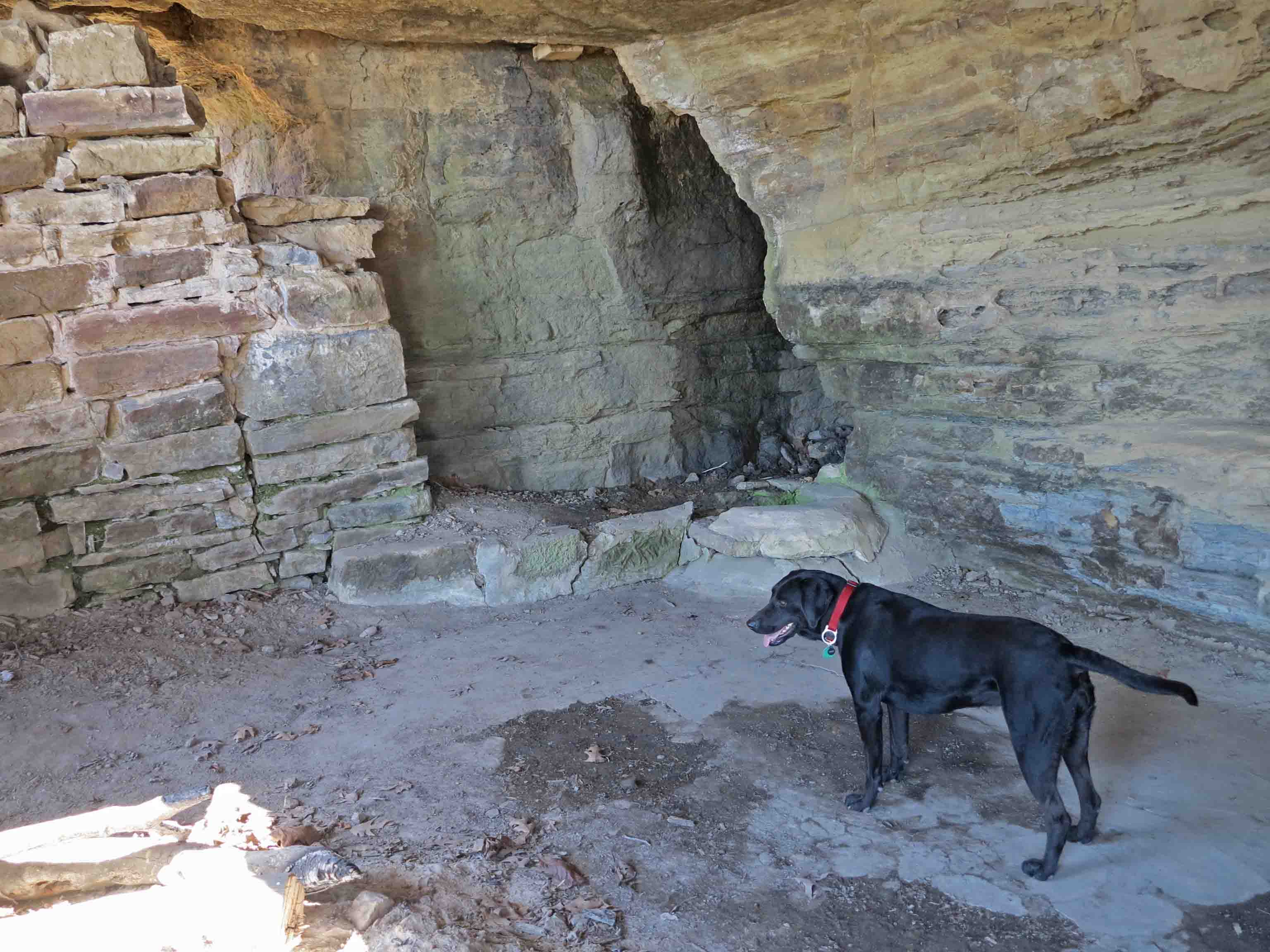
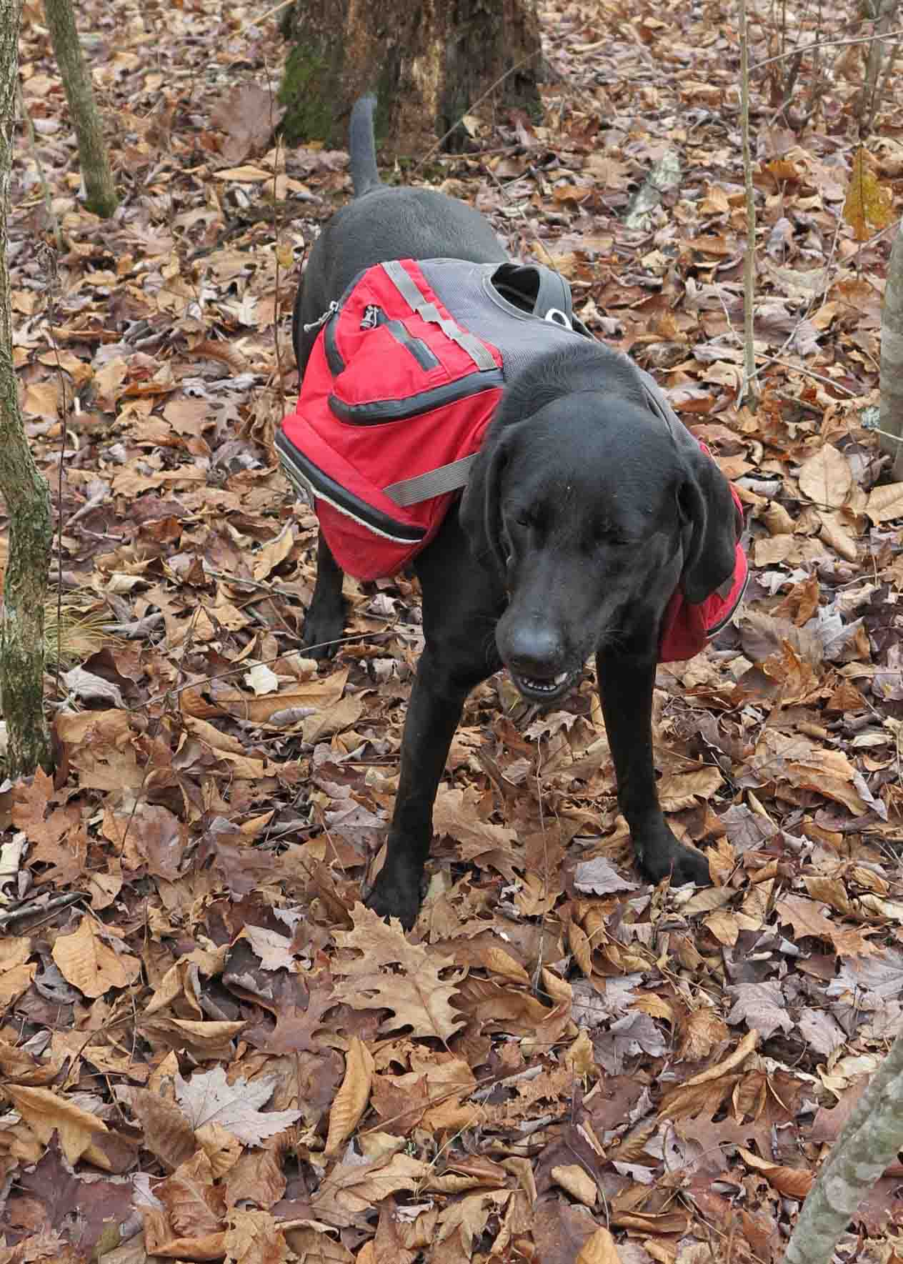
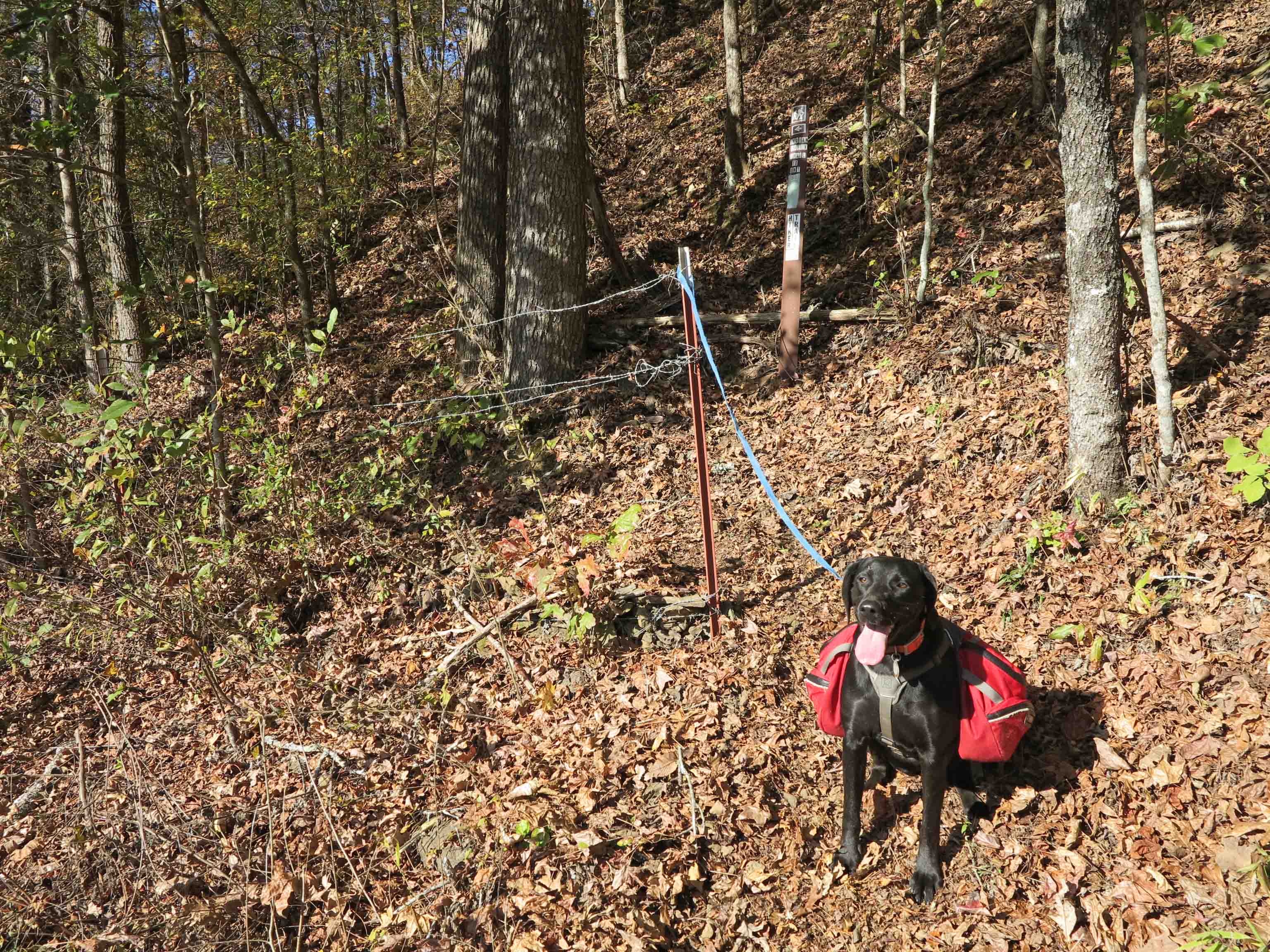
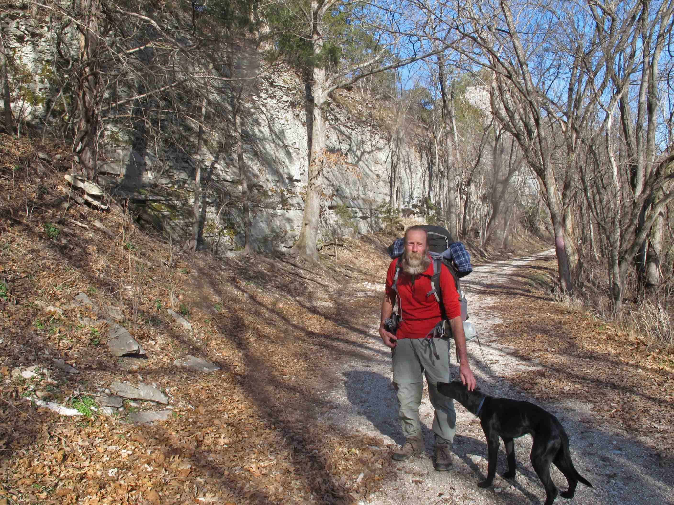
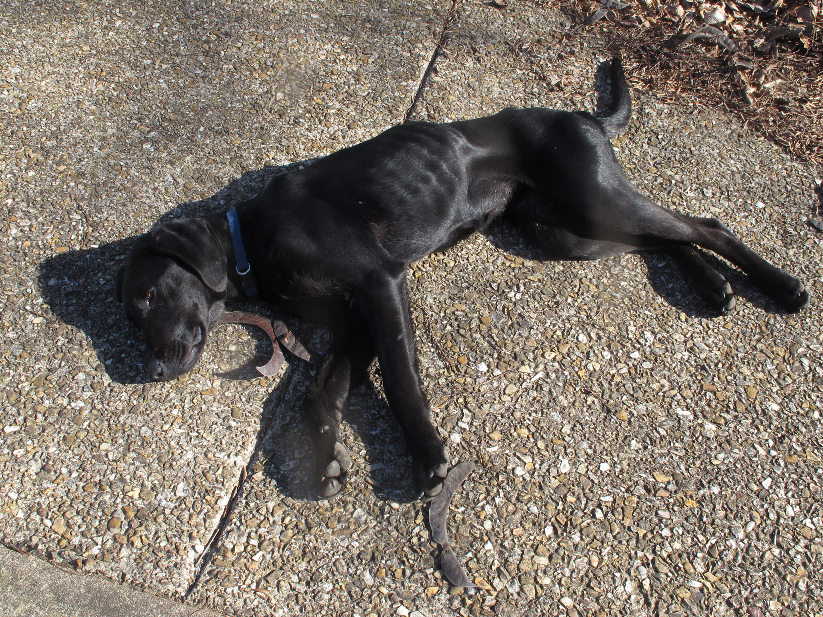
New Hiking Partner: A third hiking partner joined us on our first night out. We were setting up camp at mile 138 when an emaciated black lab appeared. We ignored her in hopes that she would reunite with her owners but the next day she quietly followed us for fourteen miles. At the end of that day we gave in and shared some of our beef and turkey jerky. These were limited rations because neither of us packed much extra food. Bob said, “If we’d known we’d have a dog, we would have packed some Alpo.”
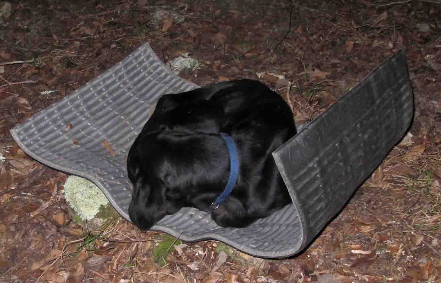
This black lab demonstrated good outdoor skills as she curled up in a nest of leaves next to a log. The following morning we feared we were going to witness the death of this dog but she persevered and continued mile after mile with only limited rations from our small surplus of food.

Later in our trip our junior hiking partner discovered the joys of avoiding cold conduction from the ground by sleeping on a foam sleeping pad. Though she was skin and bones, we witnessed an improvement in her energy even with limited food. We were amazed by her persistence on the trail and at creek crossings. She was committed to following us for the 40+ miles to Tyler Bend! We wondered if she would last.


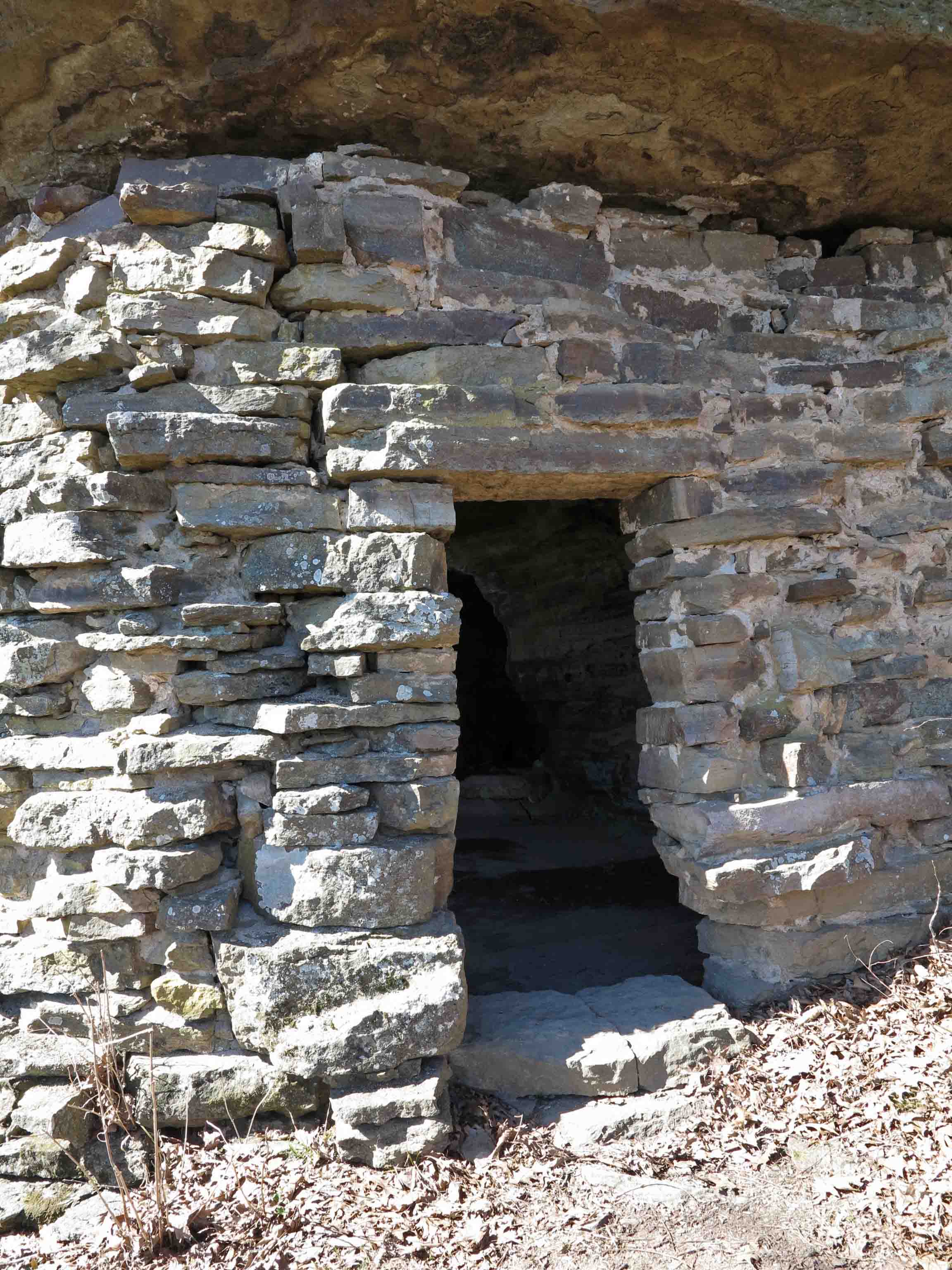
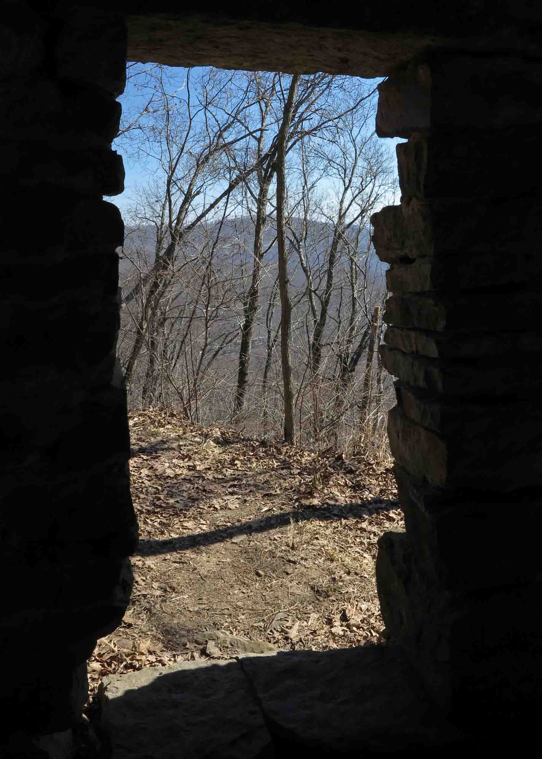
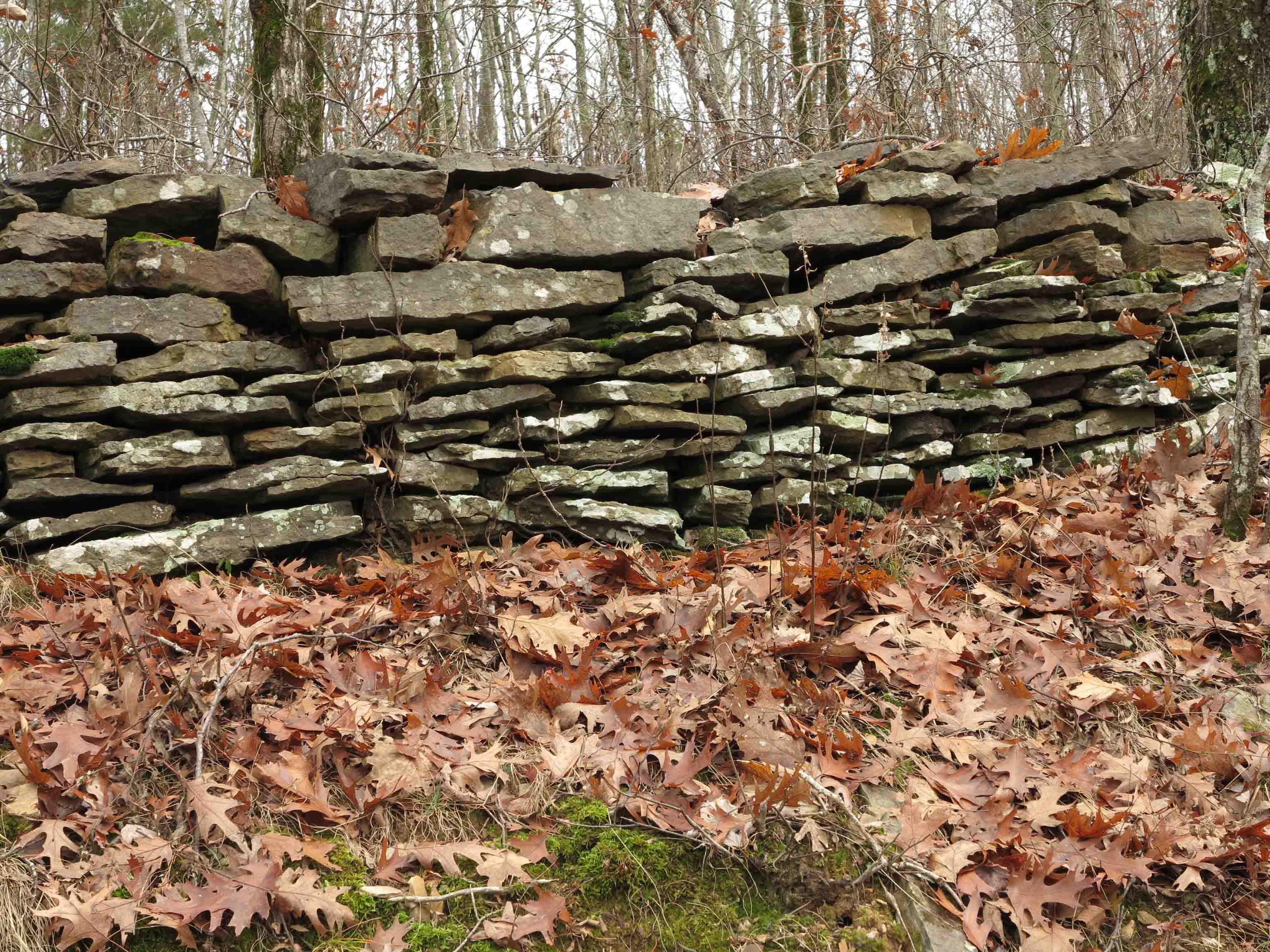
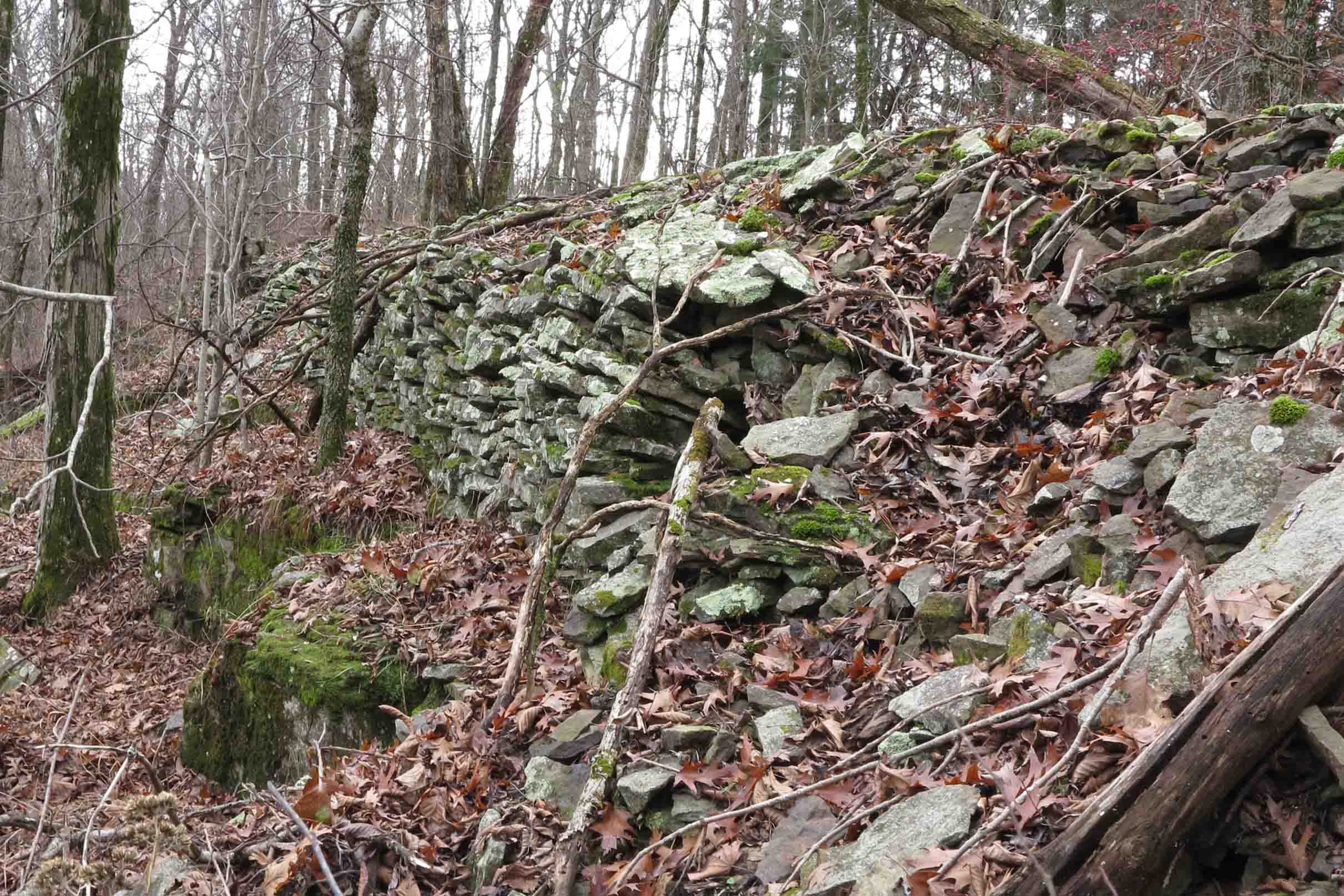
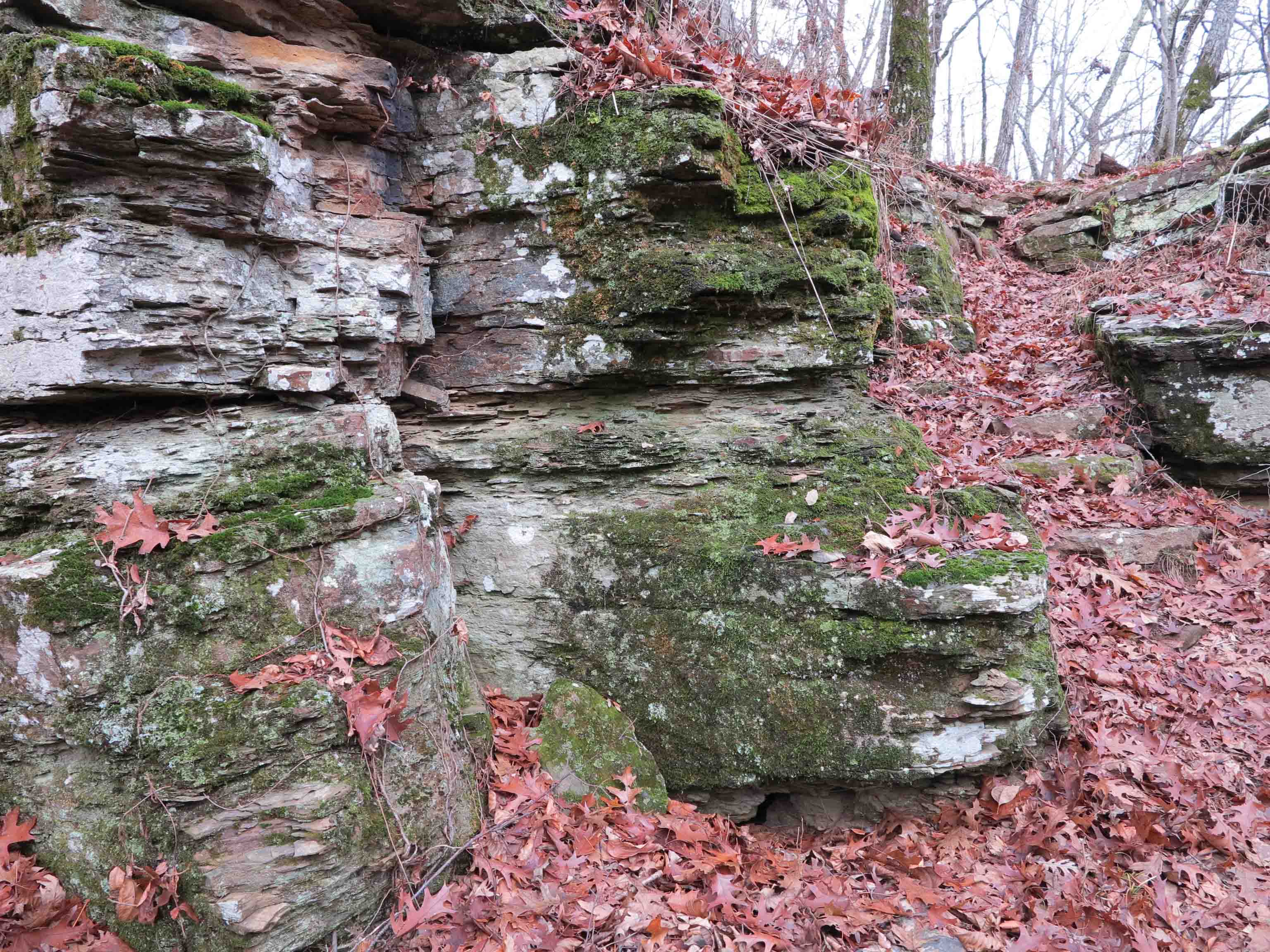
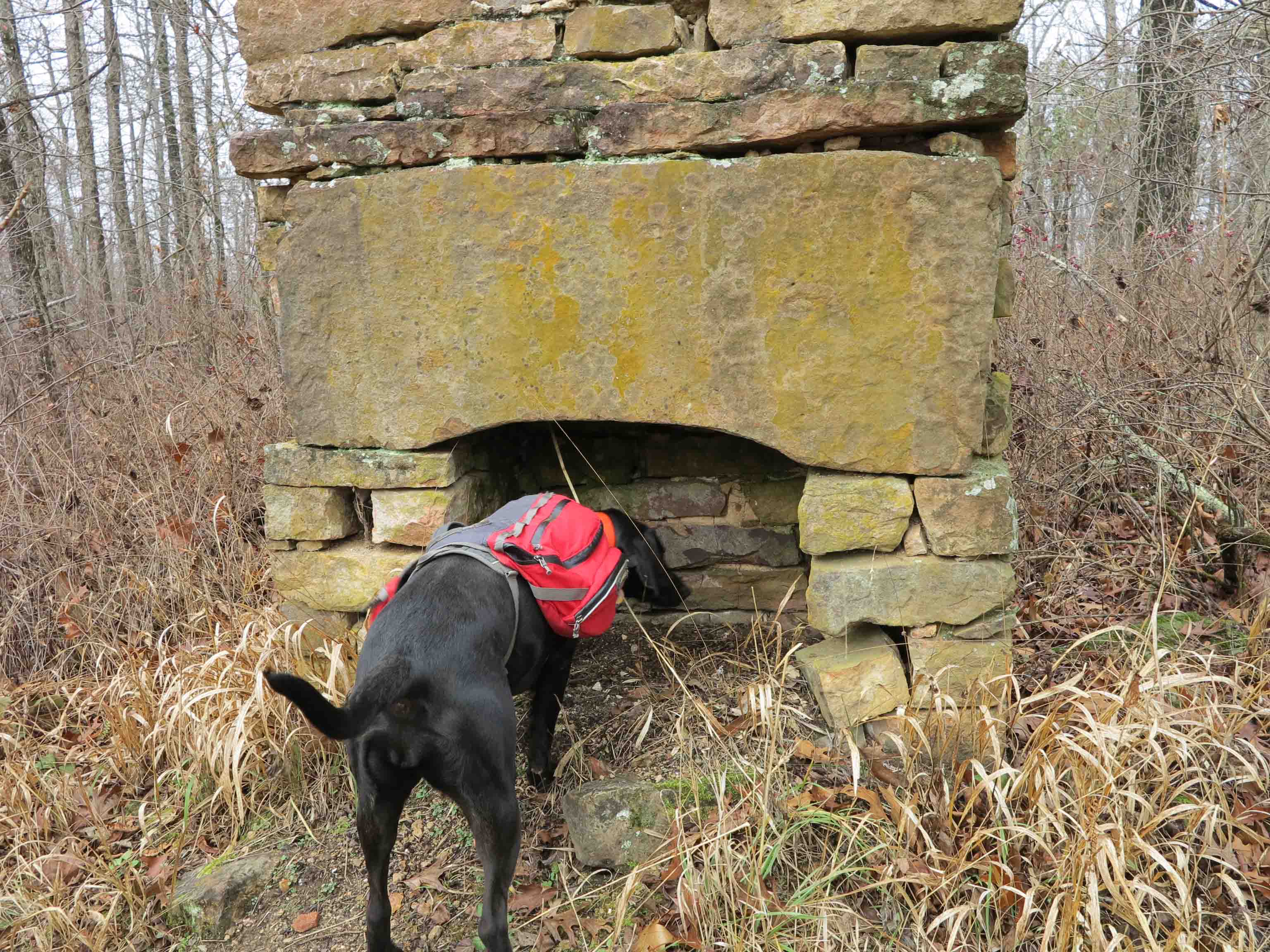
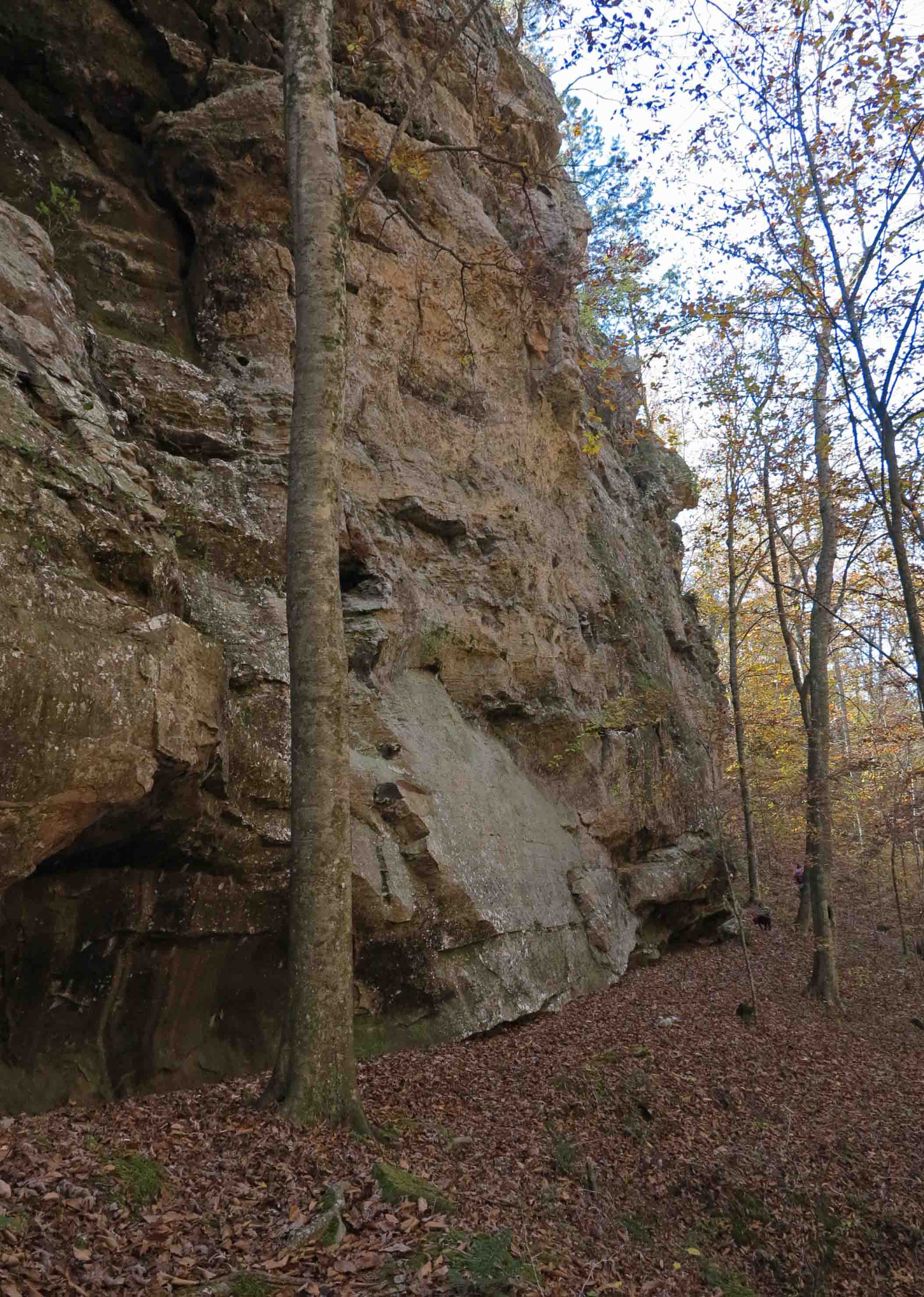
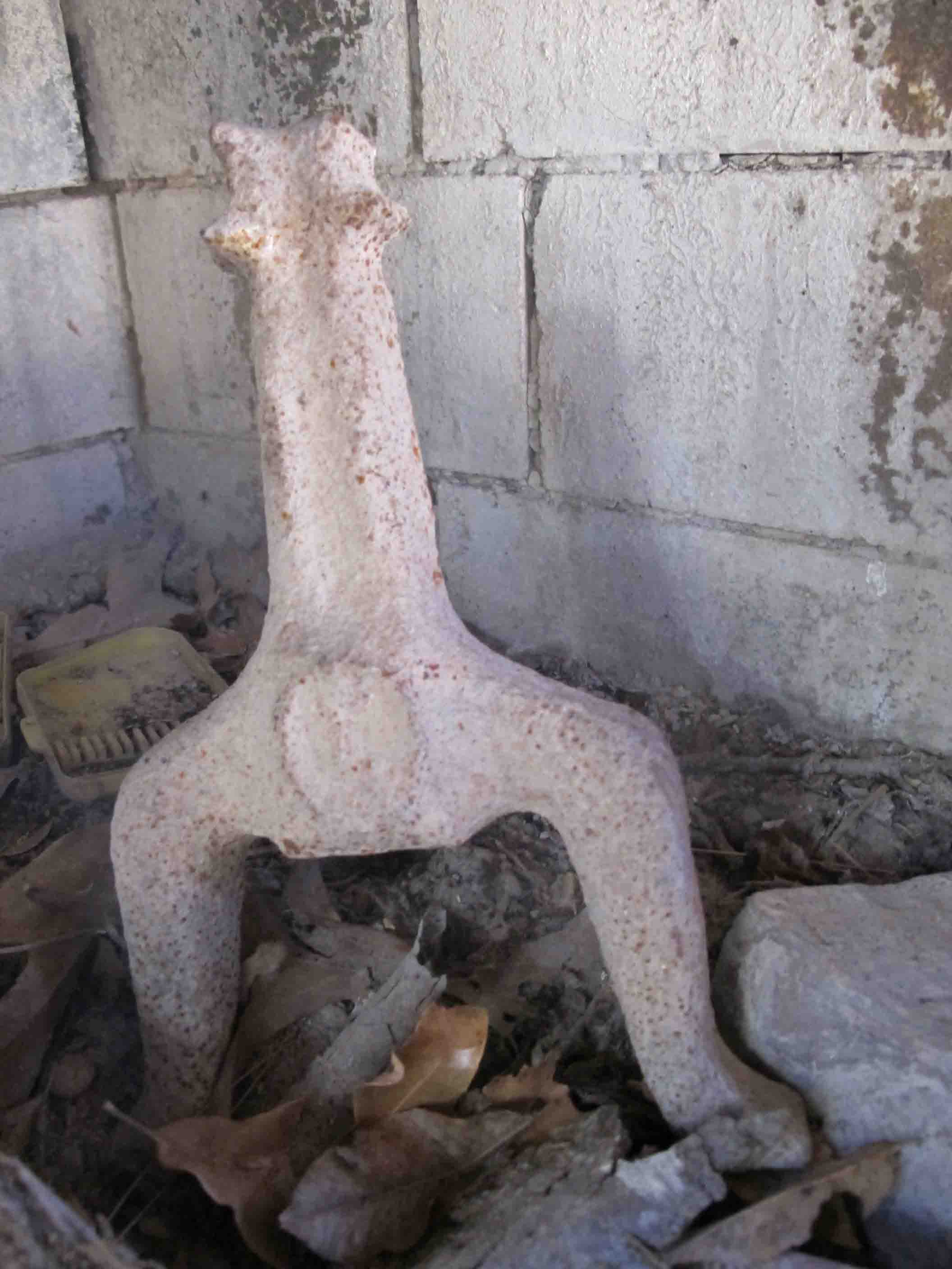
Historic structures along the Buffalo River


A number of historic structures can be found along the trail in the Buffalo River section of the OHT. These can be so much fun to explore that it is sometimes difficult to maintain forward progress in hiking.

Breakfast and coffee in bed.
I chose to prepare my oatmeal and coffee in bed on this coldest morning of our trip. It is important to set the Esbit stove away from any tent surface to avoid fire hazard. Never burn a stove inside of your tent unless you’re wanting to end your outing early or have a death wish.

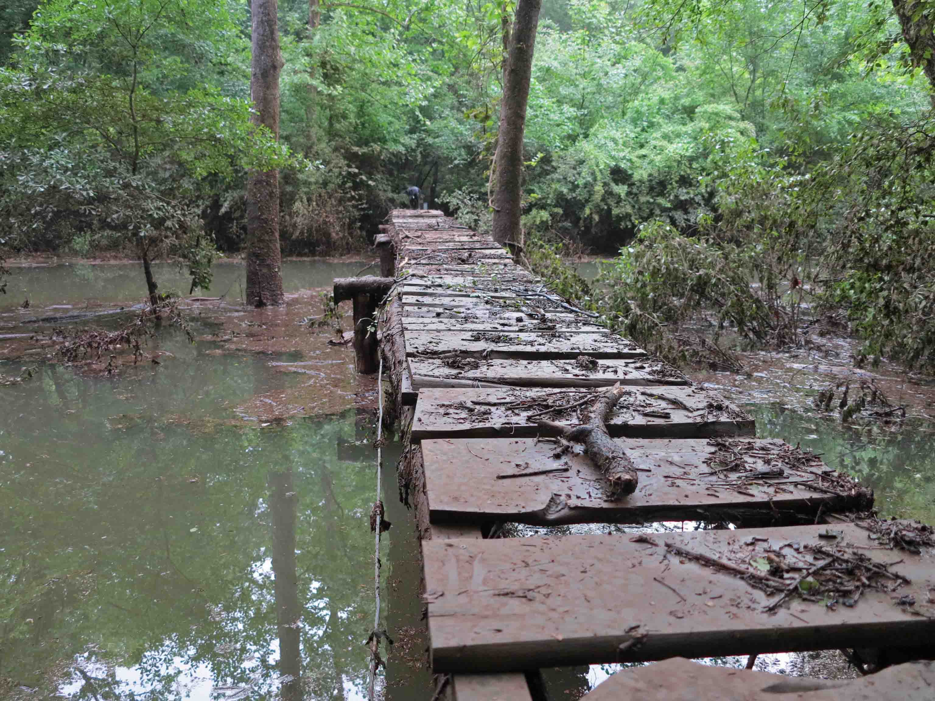
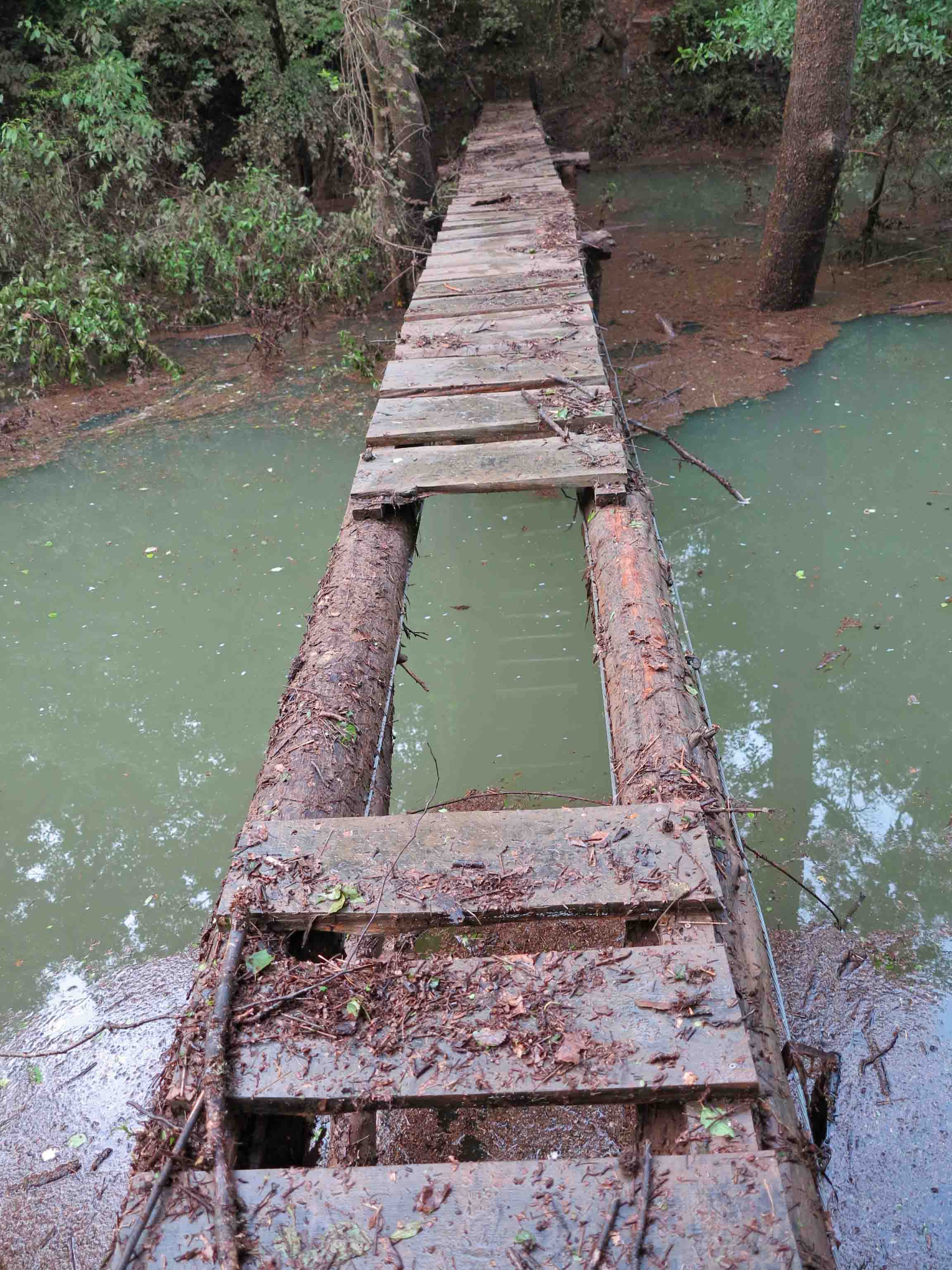
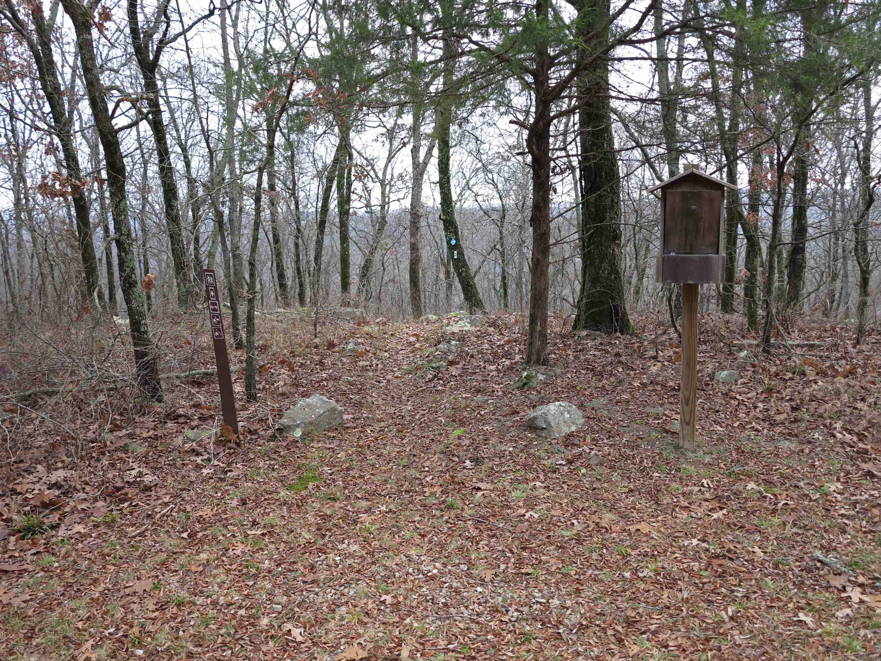
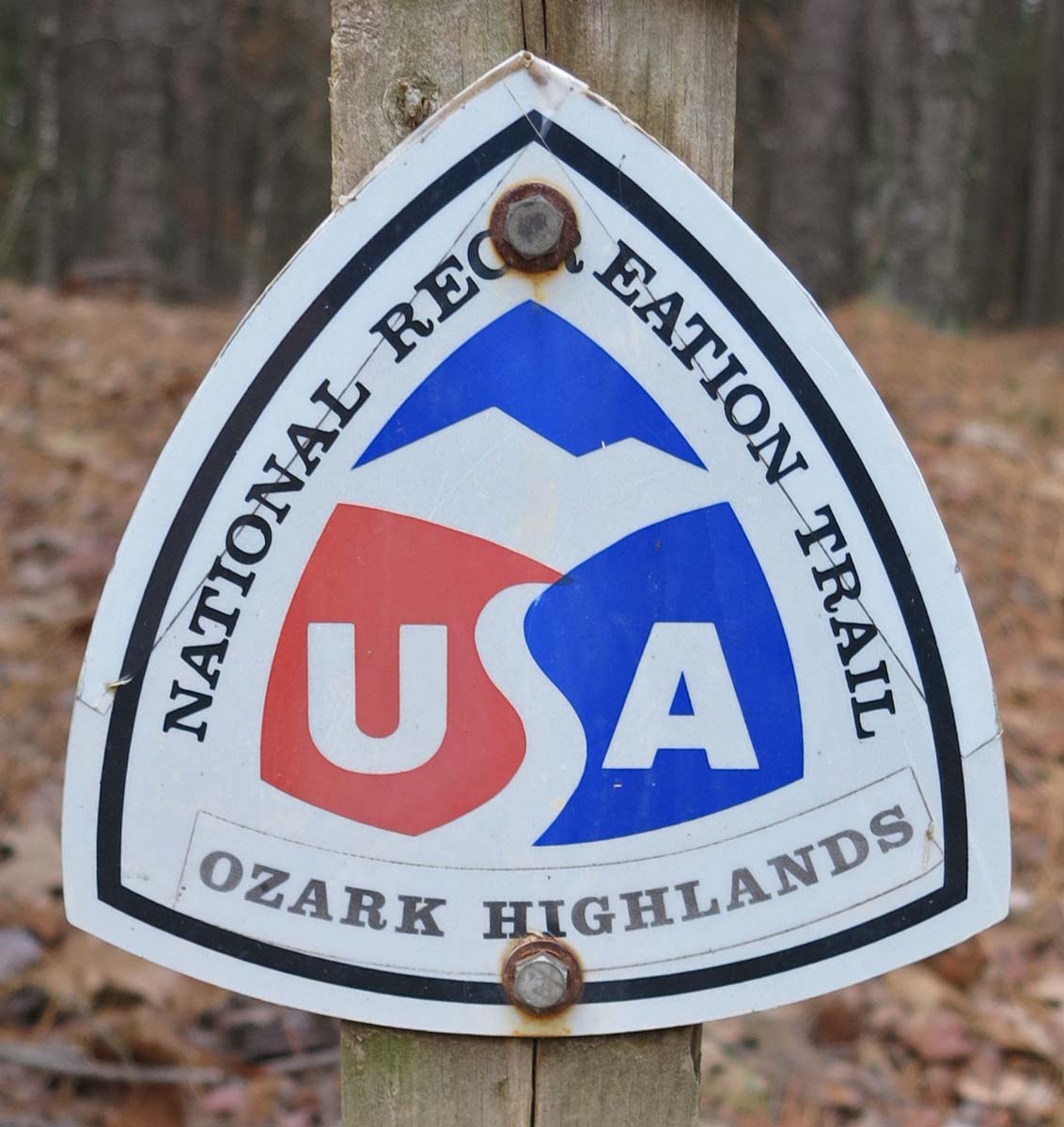
This sign at the beginning of the last four miles of the 165-mile original trail made the distance seem more real. We would complete the 165 miles, cross Richland Creek and continue fifteen more miles to complete the present 180 miles of the OHT on Monday, January 20th. We had to hike upstream for a short distance to find a wide place on Richland to cross since it is pretty deep as it draws closer to the Buffalo River. We were glad not to be crossing the Buffalo because it looked deep as in over our head deep. If we were ending our trip here at Woolum a Buffalo River crossing would have been necessary.

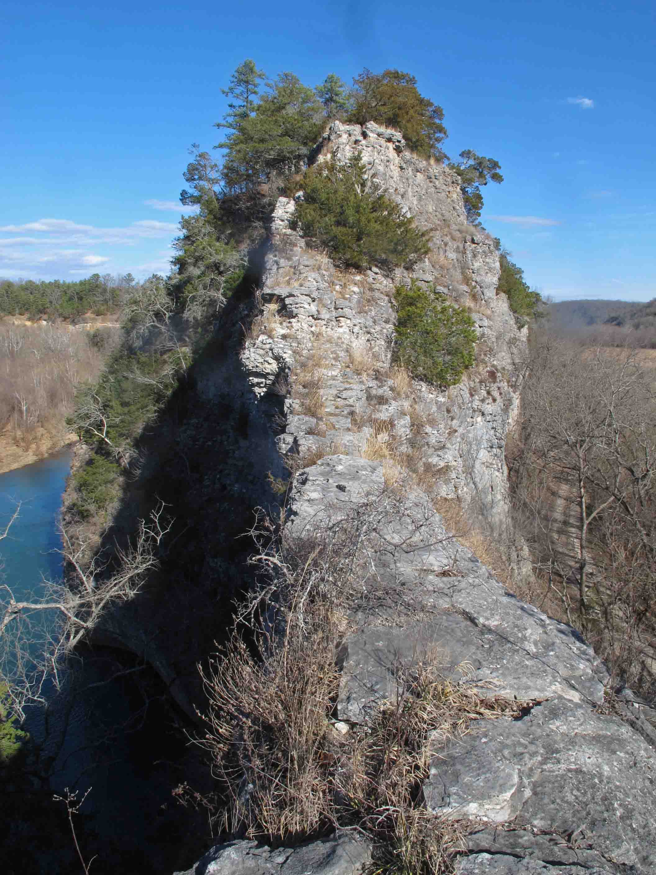
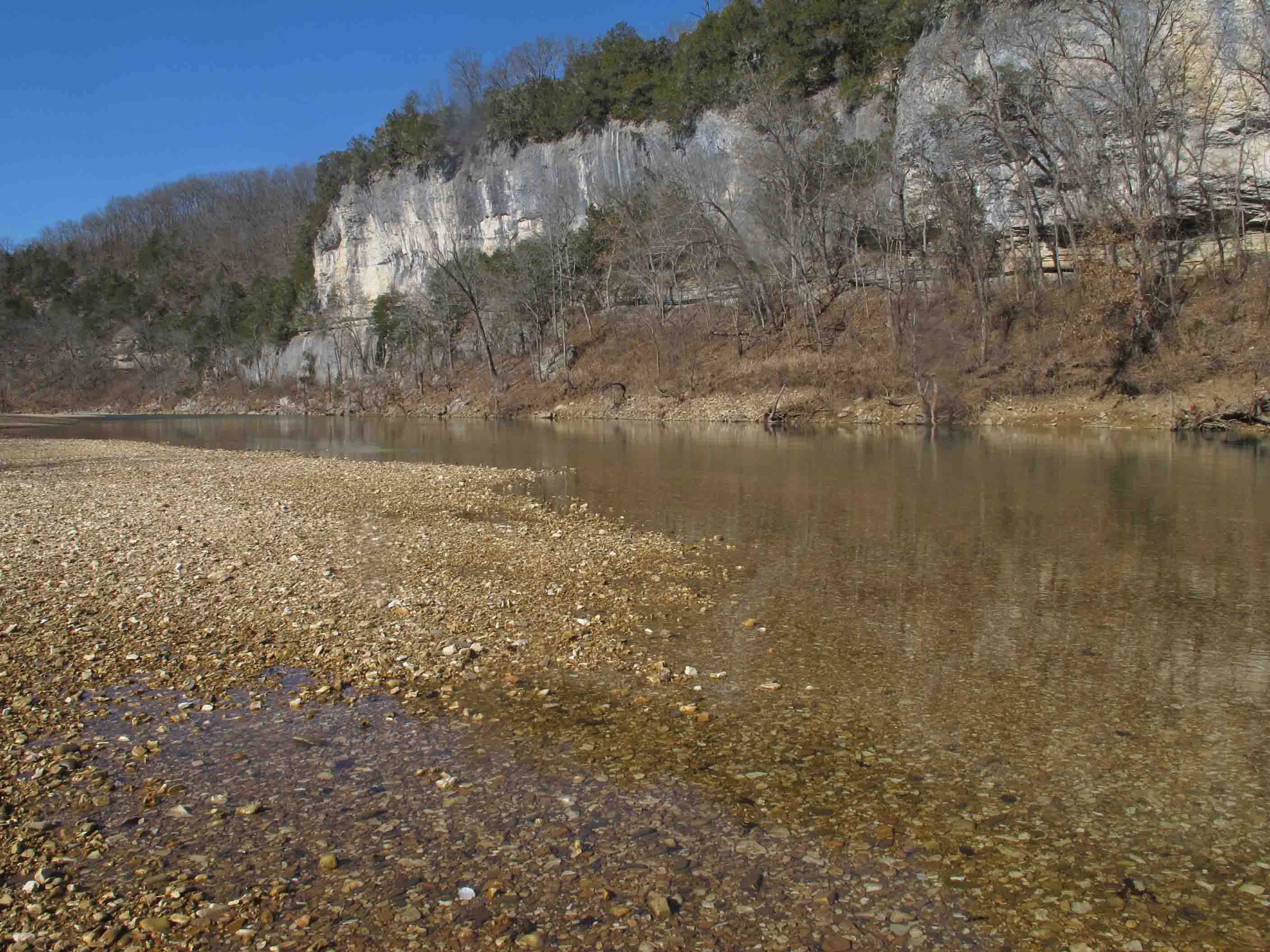
We took turns staying with our new hiking partner while the other hiked up the Narrs (Narrows) next to the Buffalo River. This was my first time to climb up on this sidewalk in the sky. It was a thrill to finally experience this beautiful and unique geological feature of our state.

The Narrs, a sidewalk in the sky.

Looking toward the southeast side of the Narrs

Looking down the northwest side of the Narrs toward Skull Bluff.

Moderately confused.
We weren’t lost, just a little confused for an hour or so…
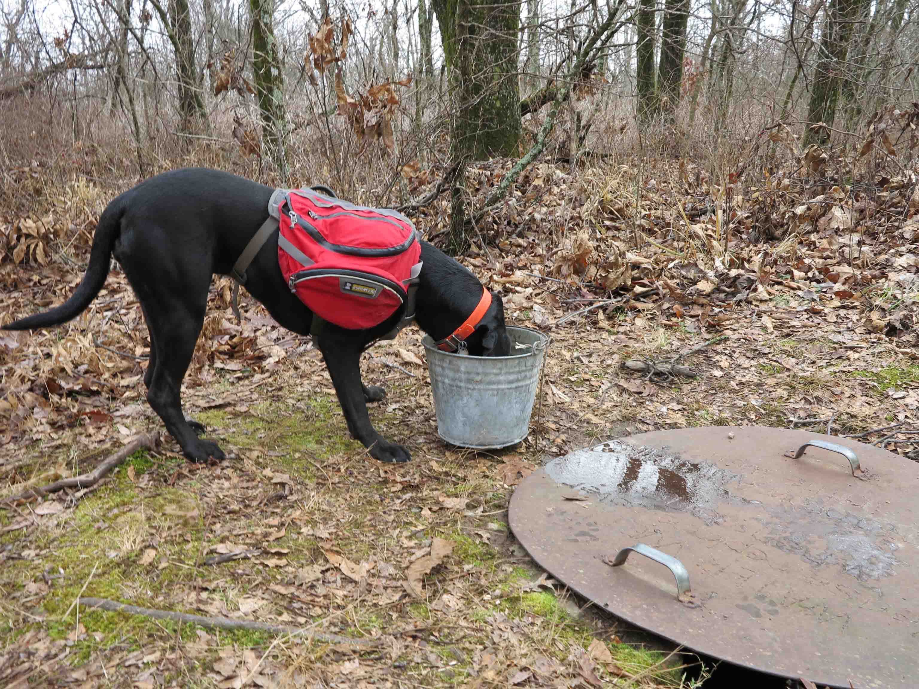
We carefully followed yellow horse trail blazes but when those blazes led us to a river crossing we knew something was wrong. We filtered water and began to backtrack in hopes of correcting our mistake. We started feeling a whole lot better when our revised route led us across Calf Creek and then back into the woods. We were relieved to find this sign indicating we were right where we wanted to be!
A sign was needed on the road where the trail branched off to Grinders Ferry. One white blaze there would have kept us on the OHT route but as it turned out we saw some beautiful open fields and needed to replenish our water anyway.

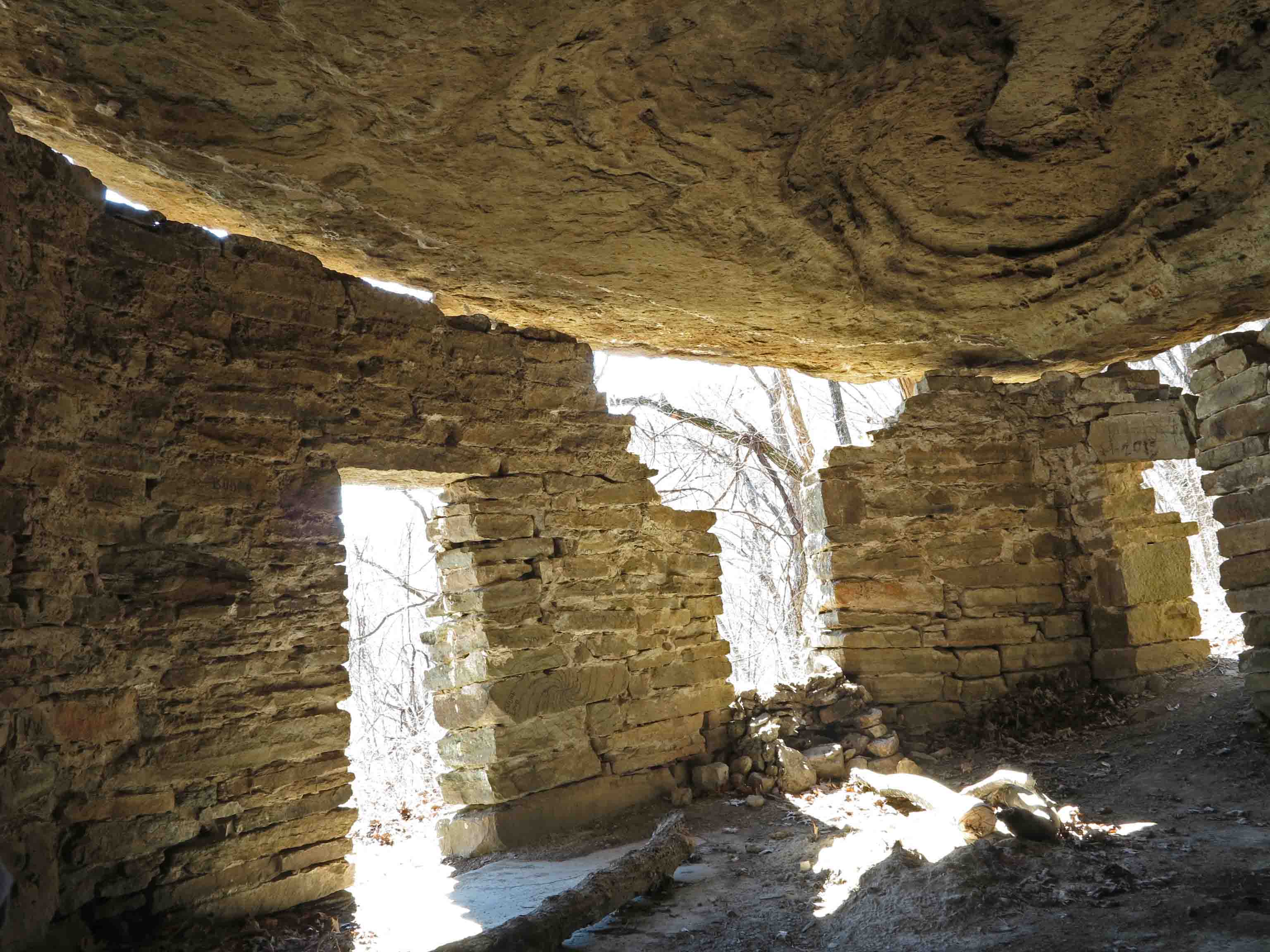
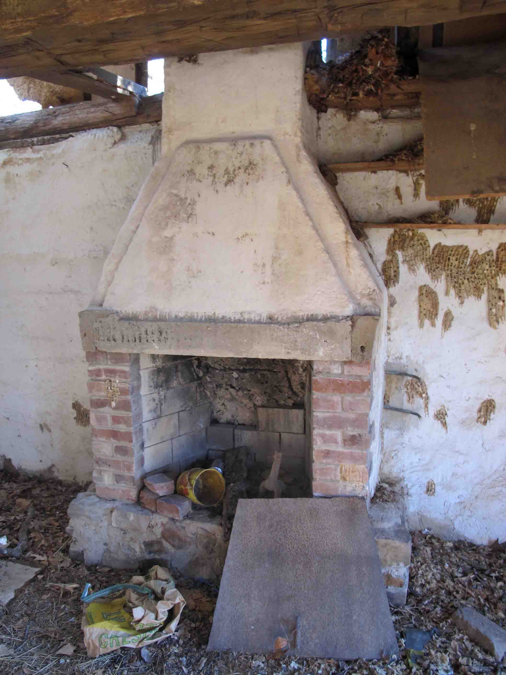
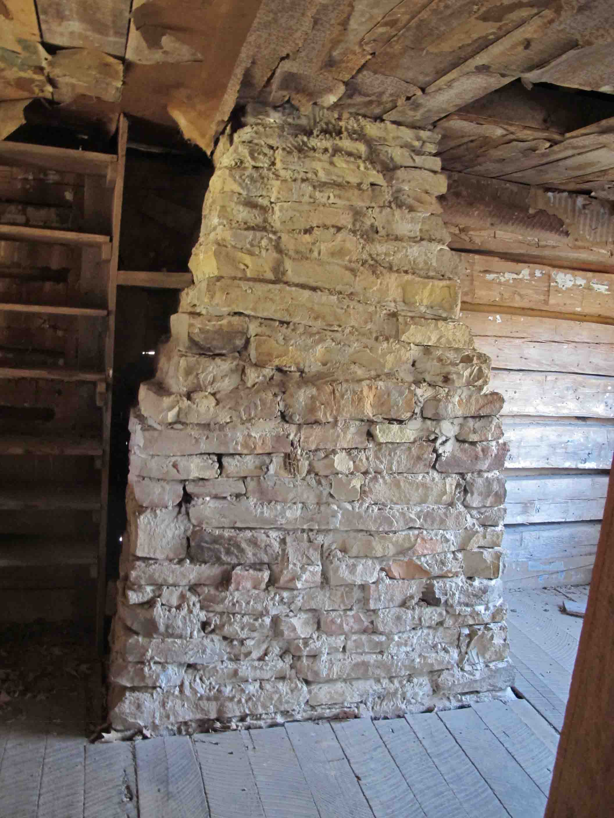
Collier Homestead
On our last night we camped in a cedar grove not far from the Collier Homestead. Mr and Mrs. Collier and their children began to homestead this property in 1928 with 15-cents to their name. They grew a variety of crops, worked as hunting and fishing guides and raised their family off of the land through hard work and grit.

Fireplace in Collier Homestead

Remnants of insulation on a wall of the Collier Homestead.

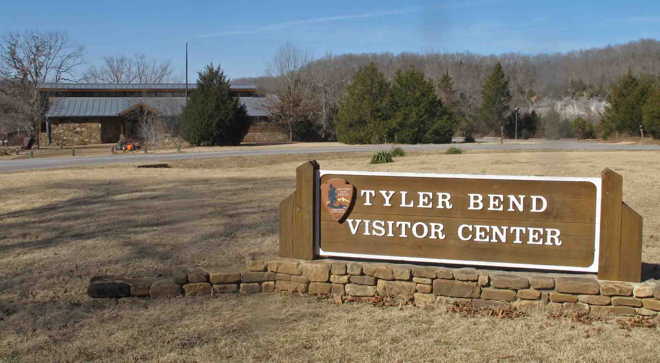
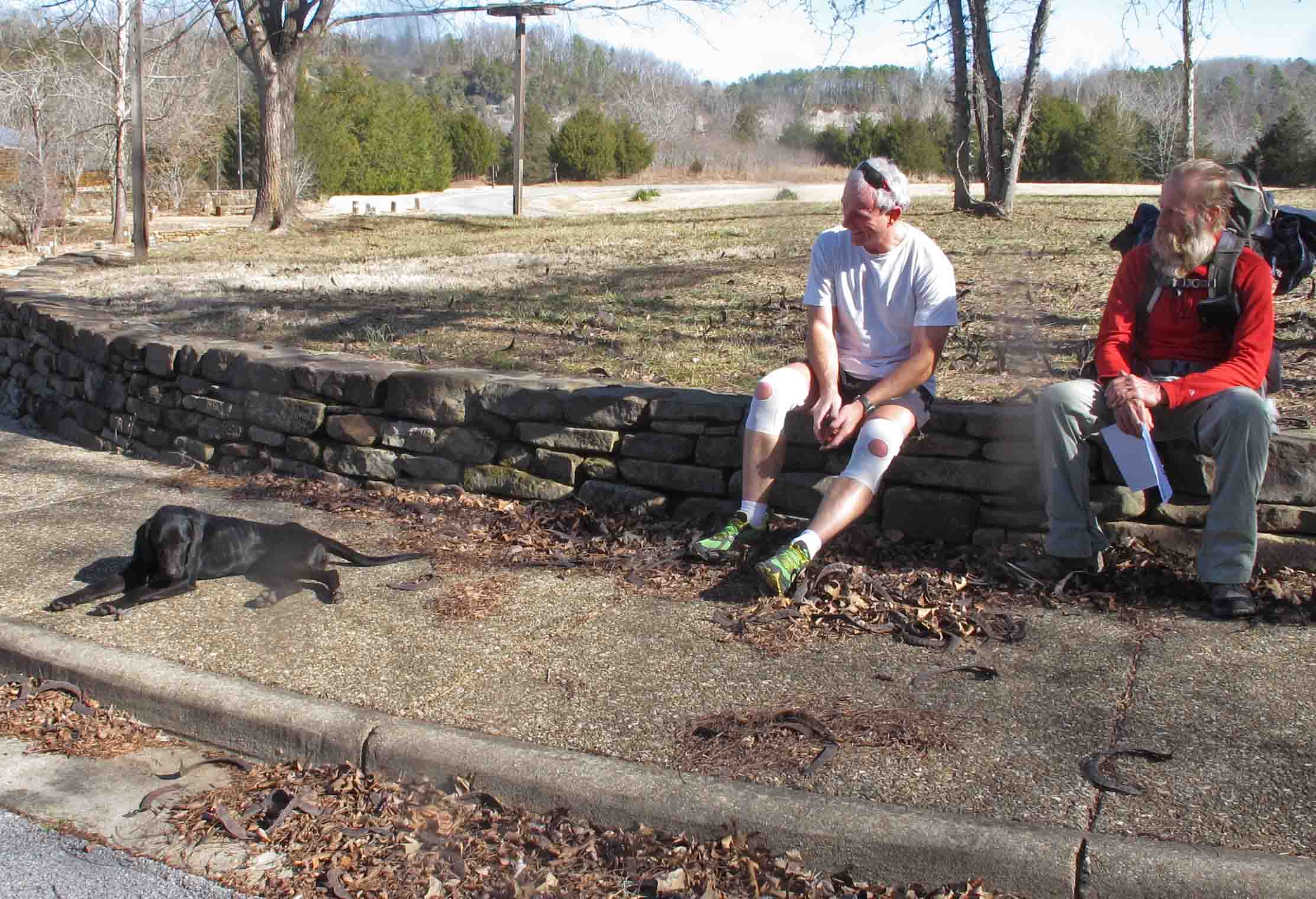
We were disappointed that the visitor center was closed due water damage repairs. We were looking forward to reading more about the area while waiting on our shuttle. A sign on the door said it would be open January 21st. Joey, a UPS driver exercising on his lunch break, shared his cell phone so we could confirm our arrival with our shuttle. We enjoyed sharing the story of our third hiking partner with him.

Joey taking a break from his lunch break workout.

Buffalo River at Tyler Bend
It felt good to splash cold Buffalo River water on my face and arms while waiting for our shuttle. Hiking 180 miles of the Ozark Highlands Trail had been everything I’d hoped and more. All expectations were exceeded which is typical of backpacking experiences. I was looking forward to a warm shower and my wife’s wonderful meals but I was also beginning to plot my next long hike. Where to go from here? So many trails and so little time…
Update on Hiker, our third travel partner:
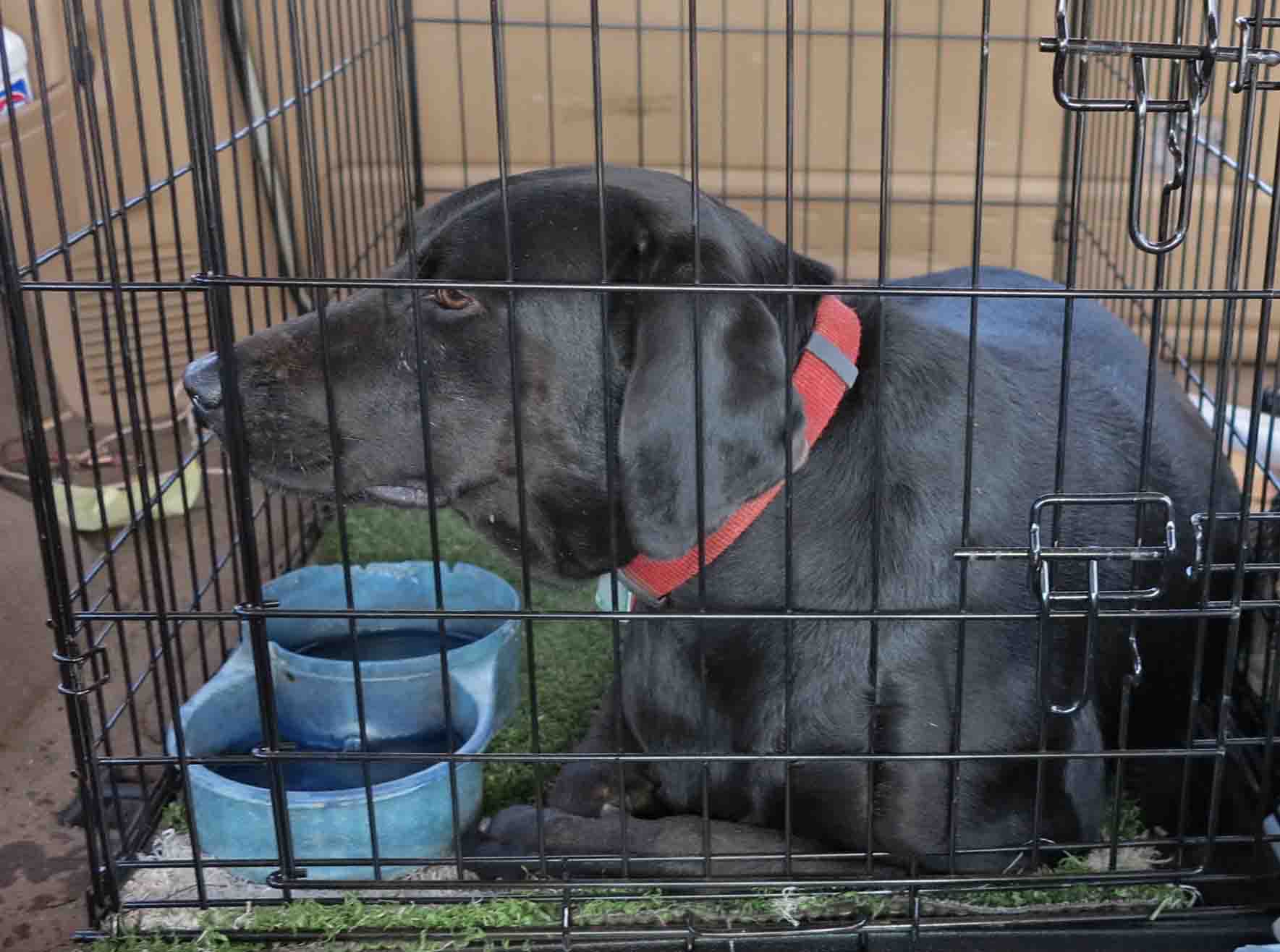
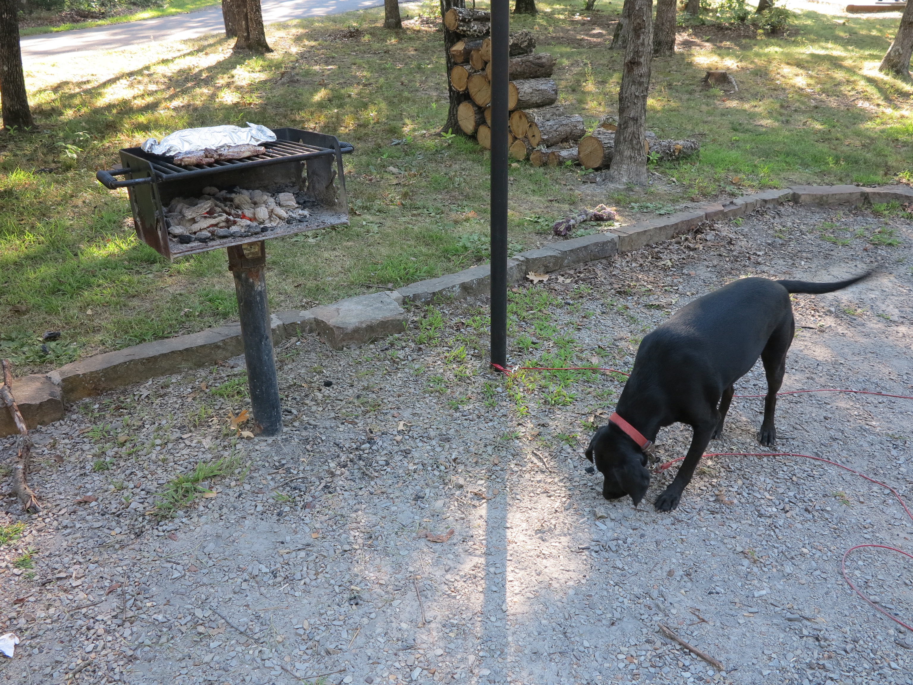
Hiker is currently my guest. I’m enjoying watching her gain strength with some moderate but regular nutrition. She is gentle with young children and has good manners. The only time she appears aggressive is when she glides through the woods at high rates of speed. Here’s a post four months following her adoption after she’s logged some serious miles: What Makes Hiker a Good Trail Partner?
We had several great suggestions for names. I went with Hiker since the sound of this word projects well in the woods and it describes one of her strongest attributes.
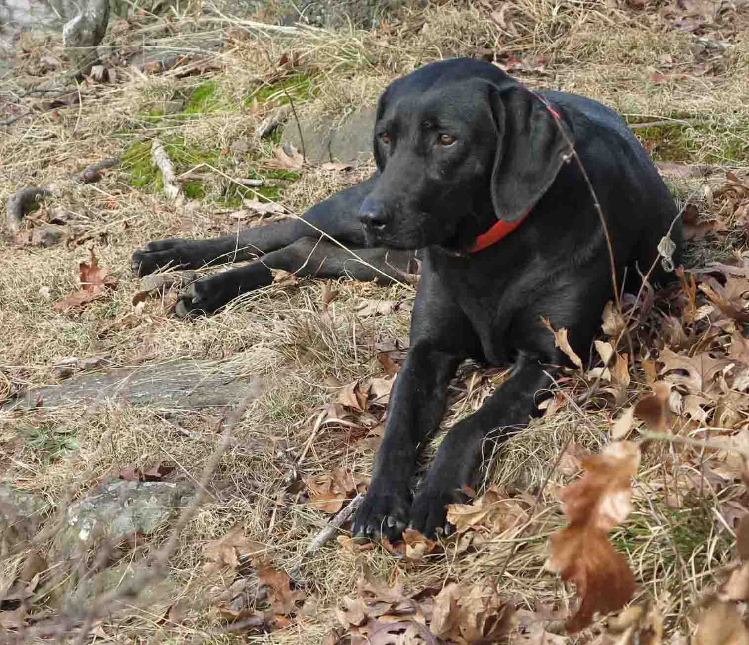
The following pictures show Hiker’s progress beginning at Tyler Bend and the end of her OHT hike. She was pretty exhausted.

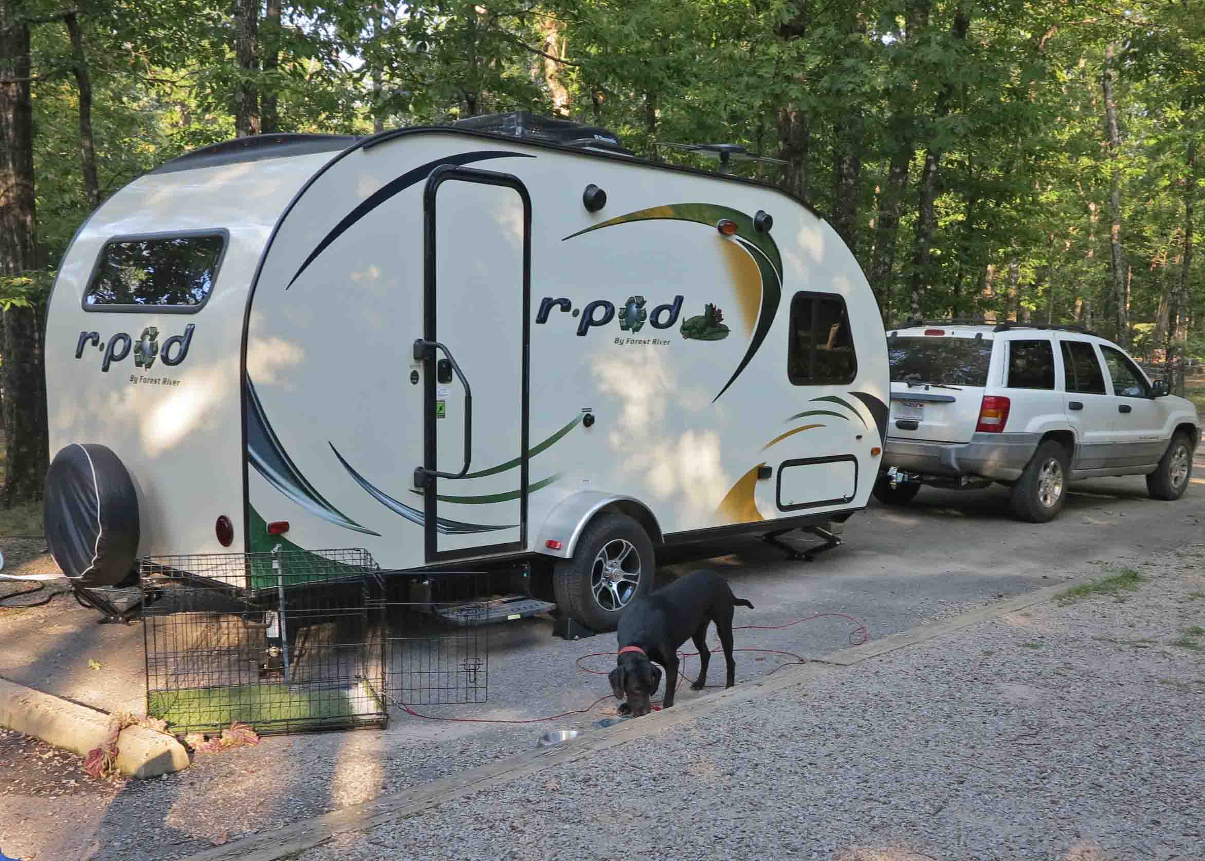
Hiker on January 20th after completing 40+ miles on the OHT with limited rations.

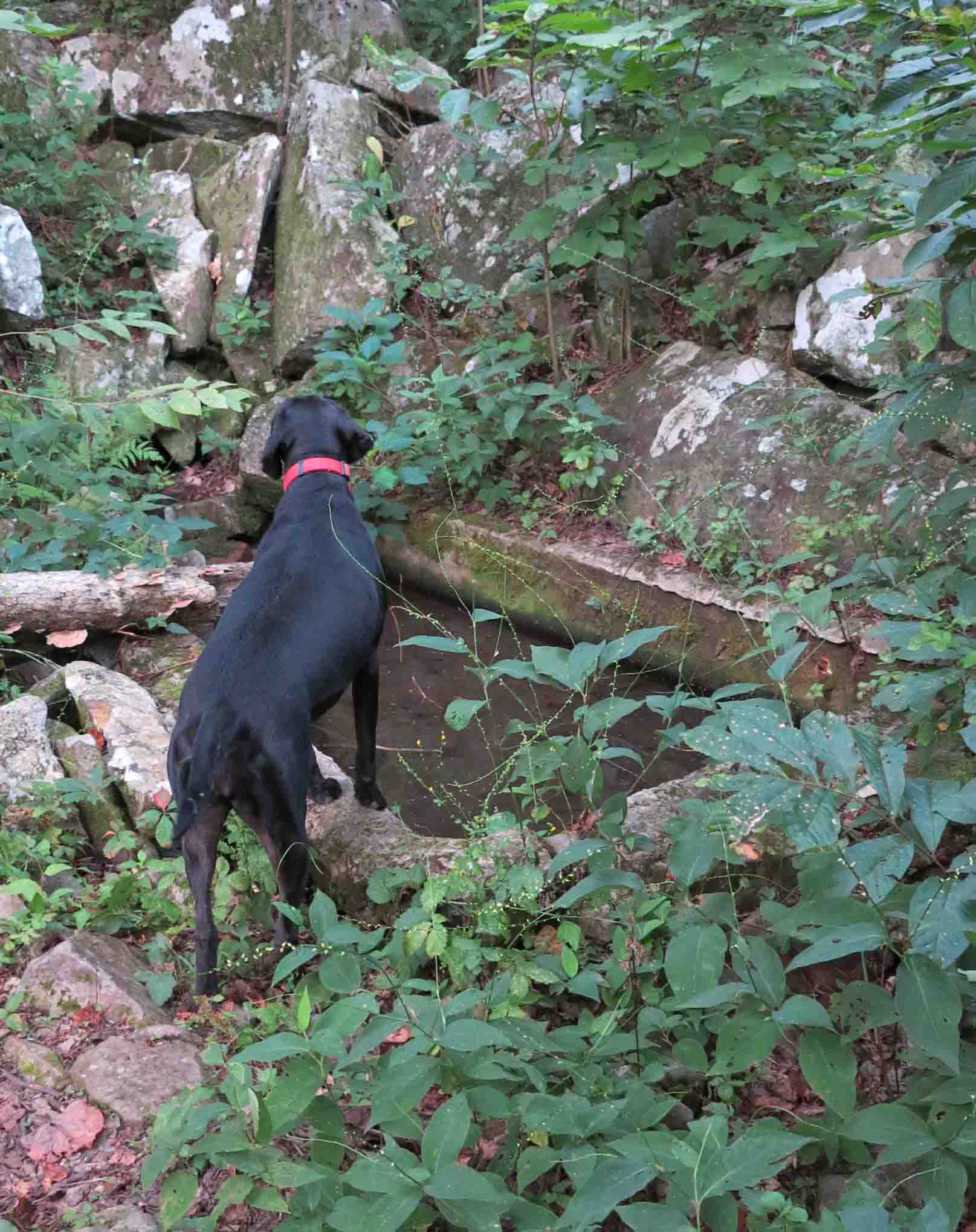
Hiker exploring Little Frog Bayou on the Lake Alma Trail.
These pictures were taken on Hiker’s first four-mile hike around Lake Alma just five days following her 40+mile trek after being abandoned and near starvation on the Ozark Highlands Trail. She was looking and feeling much better after her visit to Dr. Green at the Alma Animal Clinic.

Hiker picking her route down a bluff portion of the Lake Alma Trail.

Hiker on February 3rd having gained about 7 pounds from January 20th.
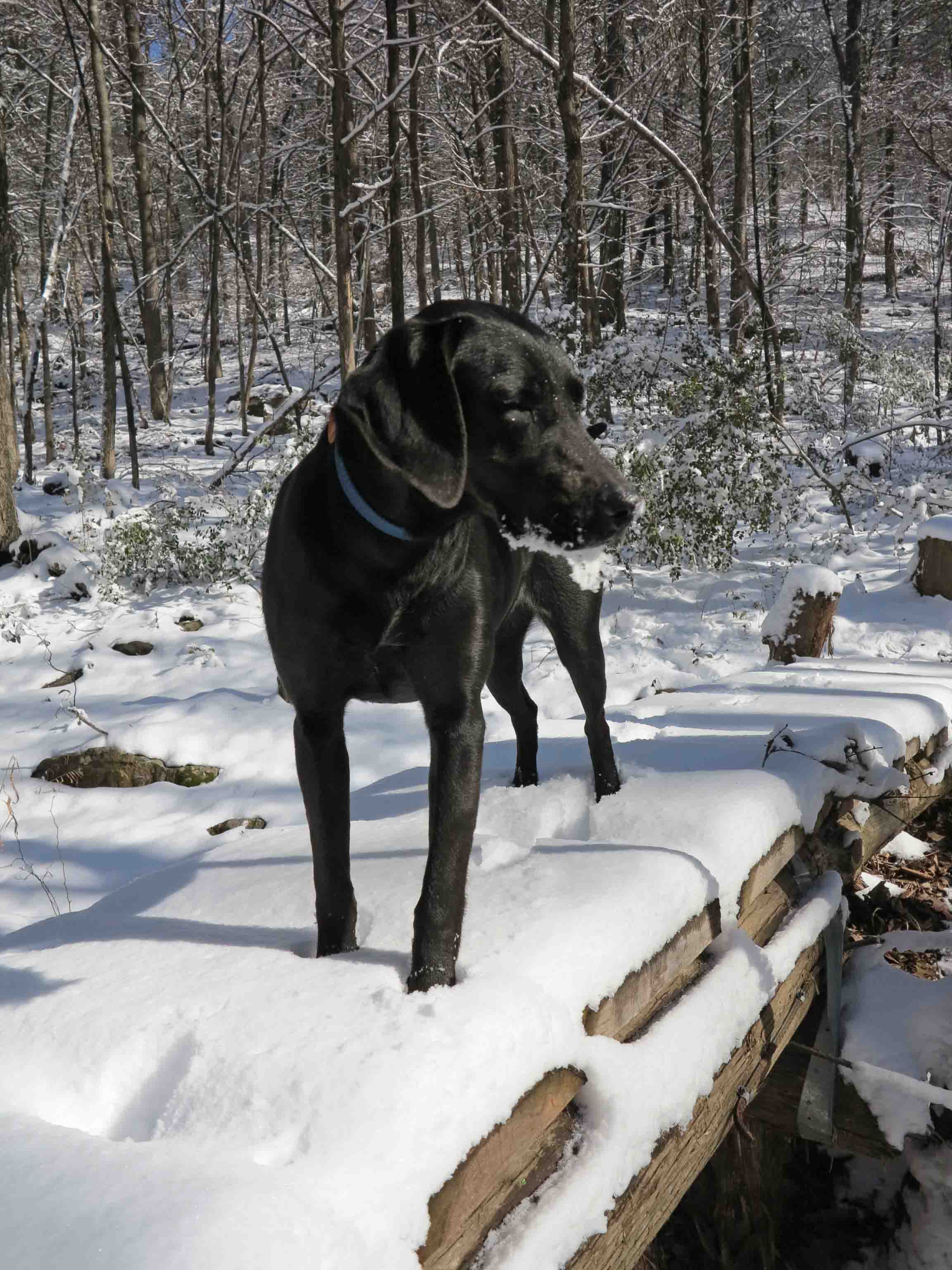
Hiker crossing a bridge on the Lake Alma Trail on February 3rd, fourteen days after her arrival in Alma. She was enjoying the snow and managed to acquire a snow-beard from playing as she hiked.

Hiker on February 22, 2014
Hiker after thirty-two days in Alma. She’s stronger than ever and loves to travel by trail!

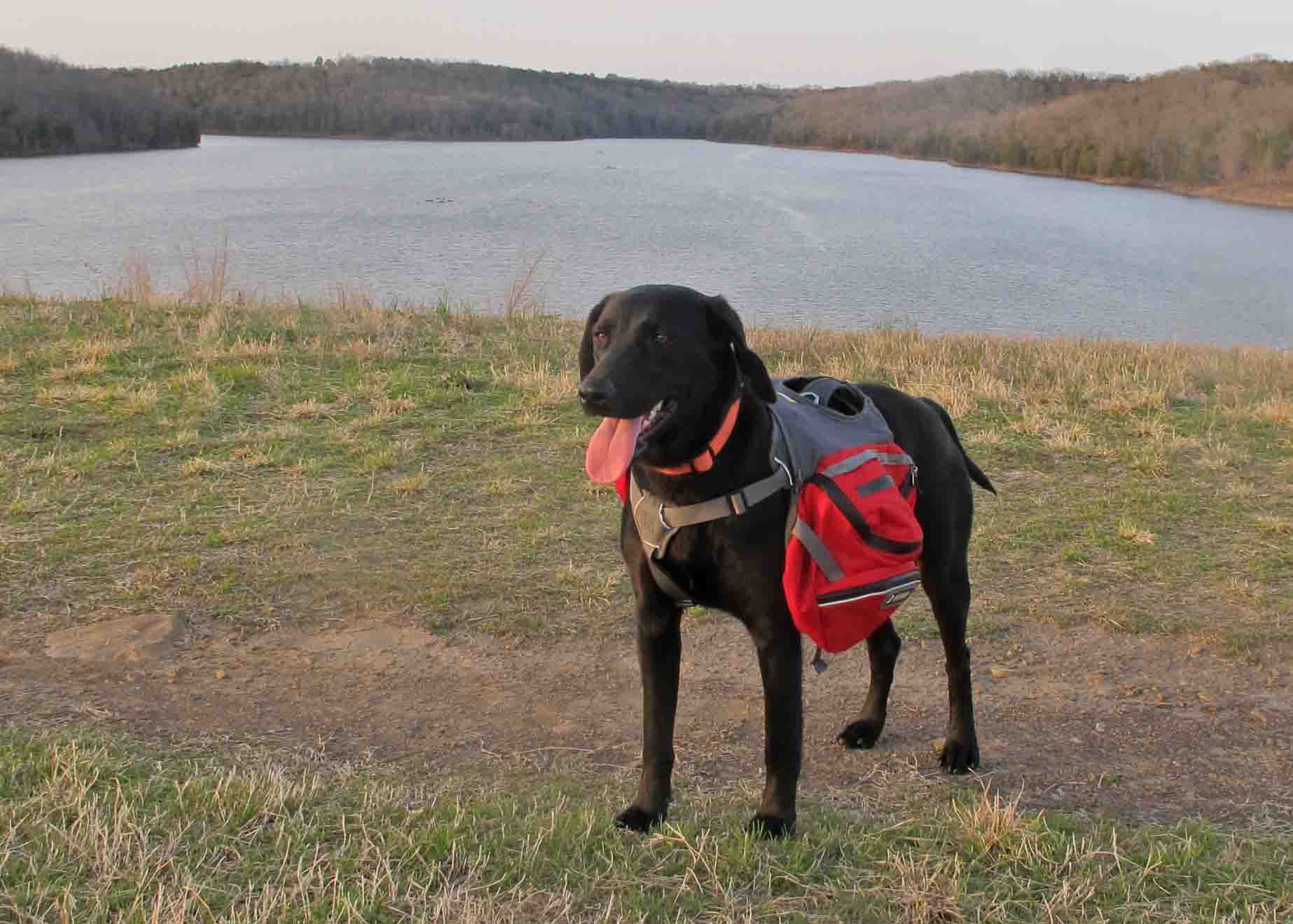
Hiker on March 18th, carrying her own food and stronger than ever.

Crossing Little Frog Bayou with two days of dog food in her backpack.

Hiker’s March 24-25 trip on the Shores Lake, White Rock Mountain Loop, and Salt Fork Creek.

Thru Hike patch earned for hiking the first 165-miles of the OHT.