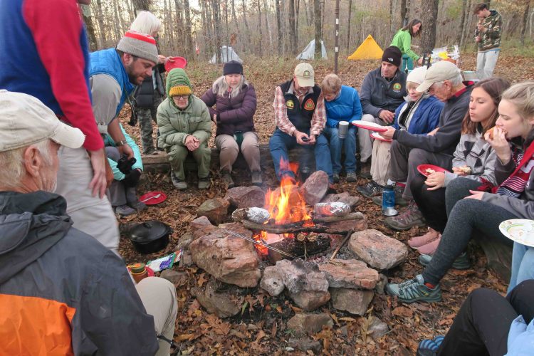
Some of those who hiked in enjoying food and fellowship
On Saturday, November 2, about thirty hikers enjoyed a potluck dinner and visited around the campfire, continuing the traditional annual Hare Mountain Hike-In to the high point of the Ozark Highlands Trail. It never fails that I meet new hikers and enjoy catching up with old trail friends, too.

When I arrived, someone pointed out the walking stick on my walking stick. Just had to catch a photo of this little friend before moving him back to the leaves.
Some of my trail friends are aware of my obsession with spoons. As I walked up Hare Mountain from Morgan Fields Trailhead, I noticed a spoon in the middle of the trail. It reminded me of the one Bob found for me at Lynn Hollow (on the right in the picture below).


The lost spoon
I picked up what I thought was probably someone’s serving spoon intended for the potluck later that evening. After arriving at the top of the mountain and visiting for a minute, I remembered the spoon and pulled it out, asking if anyone was missing a spoon. Norma was excited to see it and said it went with her casserole.

Norma with her found spoon
Miles won the heaviest dish award with his dutch oven cooking. The smell was amazing, and from all reports, his results were top notch.

Each year we’re seeing more young people coming up for the meal and camping for the night. Spread the word to watch for next year’s Hike-In about this same time. Sharing our love for the trail and our volunteer efforts was an encouragement to everyone. A few funny trail stories always crop up around the campfire. The group made a toast to several elder hiker friends who have passed on during the past few years.

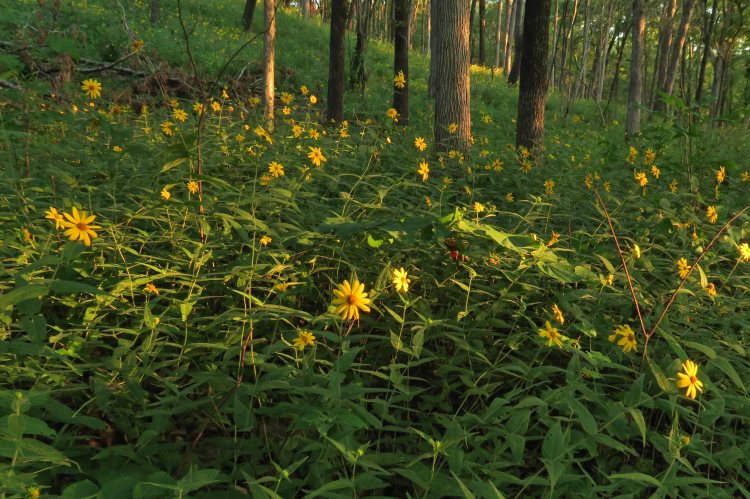
One of many views from the OHT on Hare Mountain
After dinner, I walked back down to Morgan Fields Trailhead and slept in my truck camper with Hiker-dog. Temperatures were in the upper 20s Sunday morning, perfect for hitting the trail!
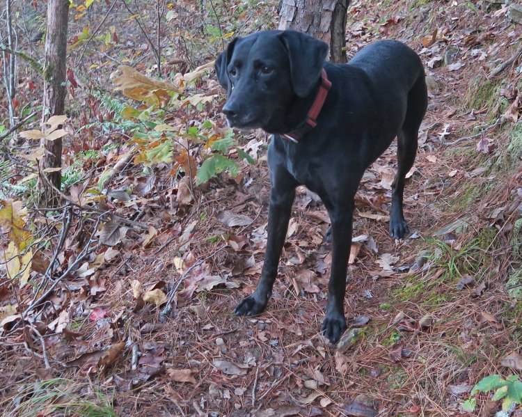
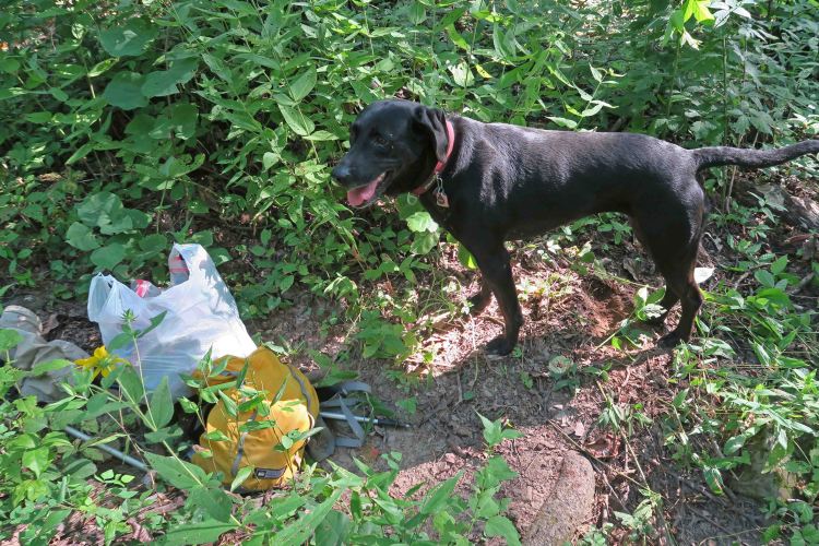
Hiker-dog on Dawna Robinson Spur Trail
Hiker-dog was excited to do an early morning walk on the Dawna Robinson Spur Trail. We paused to check on the memorial marker by headlamp early in the walk. The Ozark Highlands Trail Association (OHTA) purchased the marker, and Bob Robinson installed it in 2012 after OHTA volunteers completed the trail. The marker is as beautiful today as the day it was put in place.

Indian Creek Spur Trail In memory of Dawna Robinson
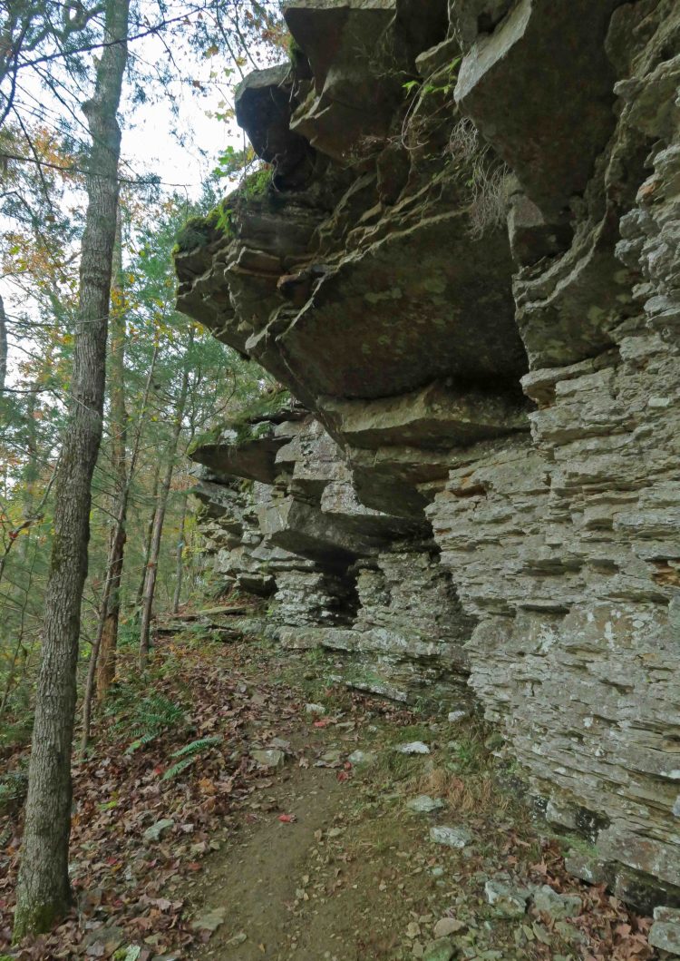
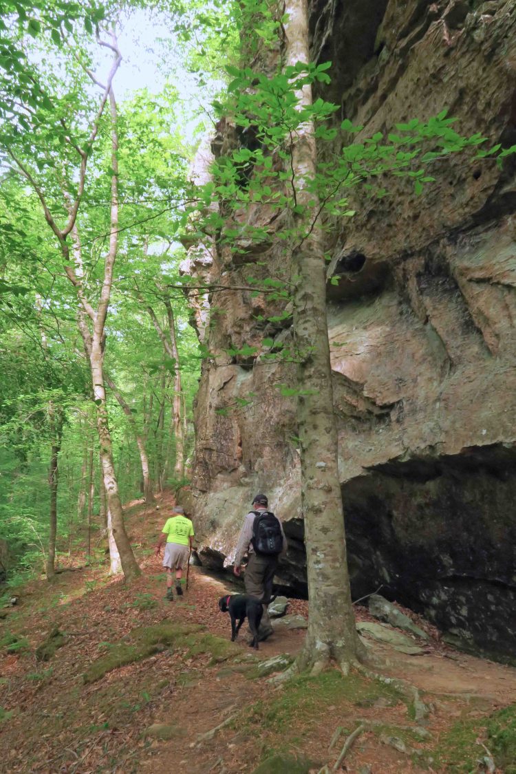
Toward the end of our hike, we paused at a favorite bluff.
Once back at the trailhead, we walked down to the Mulberry River where frost flowers lined the shore. They’re a special little treat for those who rise early on cold mornings in the Ozarks.

One of many frost flowers next to the Mulberry River
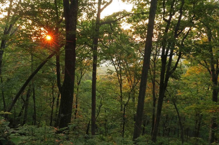
Because of our early start, we easily drove back home in time to get to church where I play drums during the music service. Playing drums and regular time on the trails helps alleviate my squirminess in the pew. As I drove, I thought of the beautiful cathedral I’d already visited during the early morning on the trail.

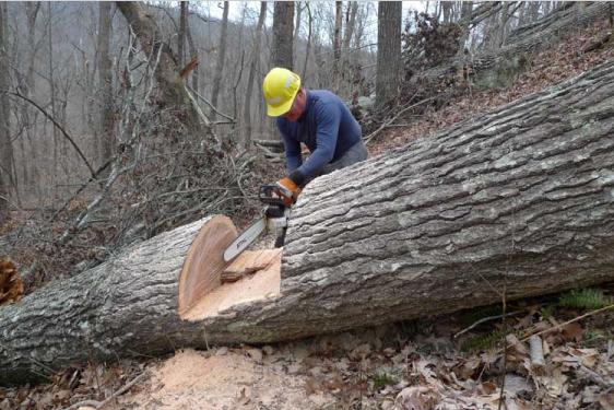
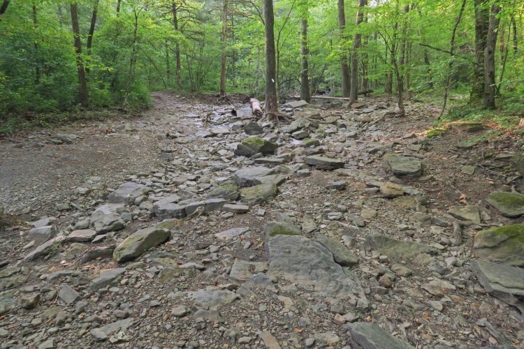
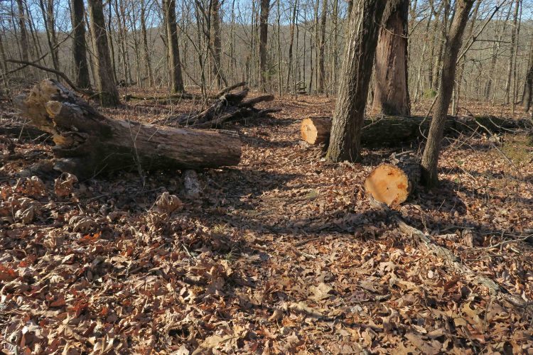
 I stopped and used my small handsaw on a few limbs and trees across the trail. Love that little saw and am amazed at what it will cut. My task on this evening was to look for trees that might need to be cut out by an expert sawyer, so I stopped to set GPS waypoints and make quick notes where future cuts might be required.
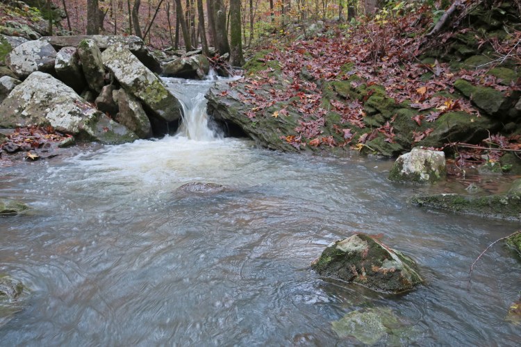
 Hiker-dog provided lots of entertainment on the dark portion of our hike. Two reflective eyes kept popping up out ahead of me as she turned to be sure I was following. These eyes helped me stay on the trail a couple of times, especially when I crossed a creek and then wasn’t sure which way the path went afterward. Sure enough, eyes could be seen staring at me as if wondering what I was waiting for. I took note that any future hikes after dark should include Hiker-dog and she added to


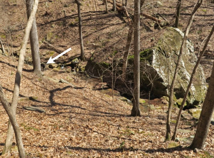
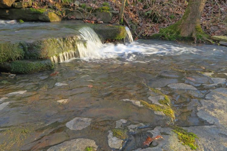
 I filled my water bottle twice, the first time simply dipping into one of the side streams that flow into Jack Creek. The second refill came from this favorite spot where water usually flows across moss-covered rocks before crossing the trail.

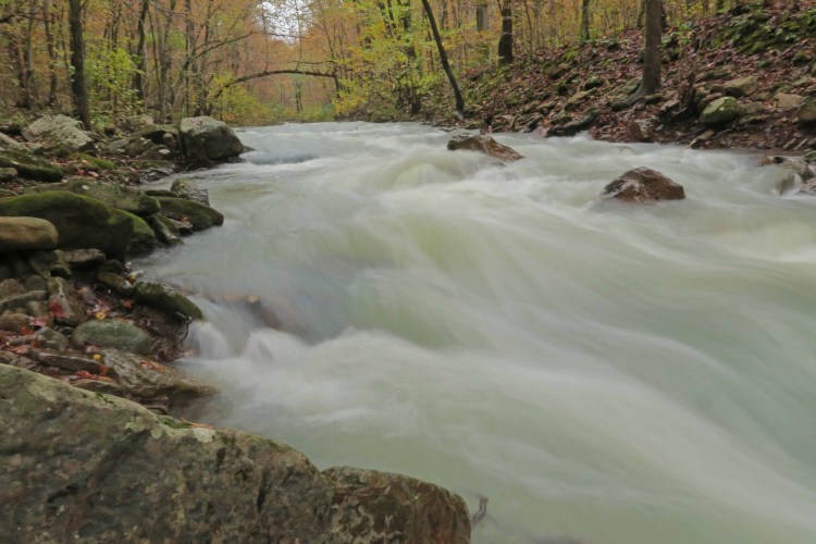
 After exploring the falls and surrounding bluffs in the late afternoon light, we followed an old jeep road up above the valley to the stream that feeds the falls. Mike said, “I wonder what’s up around that bend in the creek.” With that, we spent a few minutes walking upstream taking in some nice cascades and reflective pools.