Completing our goals in the Ozarks

img_8656rr

Scott raises his hands in celebration as he completes the OHT

I had the privilege of leading Scott’s first backpacking trip a few years ago. I then had the honor of capturing his final steps on the Ozark Highlands Trail to complete the traditional 165-miles of its length from Lake Fort Smith State Park to Woolum. As a fly fisherman and guide, he already had outdoor skills, so backpacking was an activity he enjoyed from the beginning.

Congratulations to Scott! We’re proud of your persistence and the fitness goals that this accomplishment represents!

IMG_8658rr.jpg

Hiker-dog enjoyed her two nights on the trail, too. She celebrated by having a good chew while we loaded up for the shuttle. She is about 23 miles away from being an OHT thru-hiker. Guess I’d better be contemplating my own goals for 2017!

IMG_6659rr

Thru-Hike patch earned for hiking the first 165-miles of the OHT.

First Frost

img_4093rr

Ice crystals on Hare Mountain during my winter thru-hike in 2014

This morning as I began my 5:15 a.m. hike, I was greeted by sandy sparkles reflecting in the dim light of my headlamp. Gloves felt good, and I was comforted by the knowledge that my fingers would be toasty warm in about 30-minutes or so.

I’ve missed my frozen friends having just had one of the warmest Novembers I remember. First frost marks the beginning of a wonderful hiking season in the Ozarks. First hard freeze may not be far behind. Bring on the winter!

Hare Mountain Annual Ritual

cropped-imgp8105rr2.jpg

View to the west from Hare Mountain

What causes folks of all ages and locations to climb a hill and eat a meal together for over 30 years running? This was my thought as I drove the 46-miles to the Morgan Fields Traihead next to Hare Mountain, with my to-do list for the next week weighing on my mind. This was probably my tenth Hare Mountain Hike-In. I couldn’t be sure.

I’d hiked Shepherd Springs Loop at Lake Fort Smith that morning so Hiker-dog wouldn’t be upset at being left behind for the Hare Mountain hike. The early morning clouded sky played with the light and made this a delightful hike so she seemed willing to rest when I left for Hare Mt. in the early afternoon.

Shepherd Springs Loop photos from our morning hike. 

As I stepped off the gravel road at Morgan Fields Trailhead and felt the cushioned surface beneath my feet in a quiet pine grove, my shoulders began to relax. The weight of my pack felt like a close friend’s hand on my back. The slight climb felt good, and my heart began to tap a stronger rhythm as cares dropped away like dust from the soles of my shoes.

Pretty quickly it became evident that a fire was burning to the west of the mountain this year. The woods were dry, so I was thankful that there wasn’t any wind.

img_7211rr

Smoke rising from the valley to the west.

IMG_2580rr

Rock wall next to the trail

Continuing past rock walls above the trail, I began to think of Hare Mountain Hike-Ins-past. I thought of Wildman, well into his 80s, and the mischievous twinkle in his eyes as he talked of the long trails he’d hiked or watched the energy of children playing around the campfire. I thought of others who, like Wildman, were no longer with us. I wondered what memories and feelings of nostalgia might follow those who’ve hiked this path for twenty or thirty years.

imgp8078

Wildman enjoyed visiting with youngsters on Hare Mountain

When it looked as if the Hare Mountain Hike-In tradition might be discontinued a couple of years ago, Bob and Dana Cable stepped forward to continue scheduling the “Hike-In” as in the past.

img_7214rr

Dana and Bob

While sitting around the campfire, Bob announced that Grey Owl and his wife Lenna hiked up earlier in the day for a quick visit with other early arrivers and then walked back down the mountain to avoid driving back to Oklahoma in the dark. I was sorry to miss them but thankful that they made the hike in this year. Bob’s imitation coonskin hat was a gift from Grey Owl several years ago and he always wears it on Hare Mountain.

The fire burning below the mountain made a memory for this year’s hike-in. After the potluck feast, Steve and I took a few photos of the red glow below in the darkness. It was an unusual and beautiful scene, especially since we had word that the fire was contained.

img_7247rr

Ritual is the word that came to mind while walking away from the top of Hare Mountain. Doing this hike each year could be considered a “ceremony consisting of a series of actions performed according to a prescribed order.” It’s also fun, which I don’t think disqualifies the word “ritual.”

img_7238rr

Grey Owl’s quick hike up earlier that day confirmed my thoughts. The Hare Mountain Hike-In rises to the level of ritual for many of us. Maybe it’s the simple desire for fellowship with trail friends, or it’s a fitness check as you compare this year’s hike with those in the past. Maybe it’s a chance to share our collective memories and relive stories from the trails we’ve hiked. Whatever the reasons we choose to make this trek, my hope is that it will continue to be a tradition (or ritual) for years to come.

One Good Trail is Enough

IMG_0108rr

It had been several months since I checked my little adopted section of the Ozark Highlands Trail. My last two visits were in July and then again in September. Mike LeMaster cut a number of trees off of the trail in July and then Steven Parker did some more chainsaw work recently. I’ve had some expert help in maintaining this trail!

IMG_0084rr

Mile marker close to Dockery’s Gap

This little piece of the OHT has become special to me. It runs from Old Locke Road (FR 1007) at the Dockery’s Gap Trailhead, west to a campsite next to Jack Creek at mile-5 of the OHT.

When the new Lake Fort Smith State Park was being built, this piece of trail was abandoned, and the beginning of the OHT was at Dockery’s Gap. I liked hiking the closed trail and marked sections with survey tape to make the route easier to follow. Sometimes I’d saw small trees off the trail to keep it passable. When this section of trail reopened around 2008 after the completion of the new state park, I adopted the 4-mile section.

IMG_0184rr

Jack Creek

About three years ago, I realized just how strong my sense of ownership was when I discovered that some campers had trashed a special spot on the trail. I cleaned it up while cursing under my breath. I describe this incident in Jack Creek Criminals. It felt like a personal attack that someone would have so little respect for “my” section of the OHT!

IMG_0141rr.jpg

Hiker enjoyed the trail and cool air.

Today, Hiker-dog and I walked from Dockery’s Gap to Lake Fort Smith State Park where my wife, Becca, would meet us. Wildflowers were popping, creeks were flowing, and the sun was shining through cool, crisp air. It was a magical day and every step held beauty. I felt like I barely knew this trail as if hiking it for the first time.

Sometimes I’ll say, “I’ve done the OHT,” meaning I’ve hiked the 180 miles from Lake Fort Smith to Tyler Bend. I’ve “done” the section from Dockery’s Gap to Lake Fort Smith many times. What I can’t say is “I know this trail.” Today taught me that I never “know” a trail. Each mile has something new to offer every time I walk it. My life would be plenty full with just this little stretch of Ozarks landscape. One good trail is enough! 

…..

As I approached Lake Fort Smith, I met a hiker from Joplin. It was his first time on the OHT, and he was pleased with his new map. I enjoyed telling him that he was standing on the section adopted by Kristian Underwood, the cartographer responsible for the OHT maps.

IMG_0242rrr

Map by Underwood Geographics

Below are a few photos from today’s hike.

IMG_0135rr

Hiker unsuccessfully seeking a mole.

IMG_0175rr

Hiker-dog inspecting a very clean campsite at Jack Creek. The group was from Kansas City, MO.

IMG_9875Hikerpaw23

I enjoyed giving out a couple of bookmarks with Hiker-dog’s “signature.”

IMG_0150rr

Wild iris on the trail

IMG_0145rr

Looking into Jack Creek drainage and the mountain ridge on the other side with new leaves on the hardwoods

IMG_0156rr

Boulders broken by time and the elements

IMG_0222rr

Crossing Frog Bayou that feeds Lake Fort Smith

I’ll end with a few photos of history along the trail approaching Lake Fort Smith and next to the lake.

Diverse group on a 20-mile stretch of the OHT

IMG_9545rr

How often do you plan a trip for five 10th-graders, one college student, four older adults, and a dog? Two of the youngsters had never been backpacking while several of the group had done many nights in Arizona, New Mexico, and Colorado as well as Arkansas. A diverse team for sure!

I was a little hesitant about our itinerary, especially the long first day from Cherry Bend Trailhead to Harrod’s Creek, but everyone was packed and ready to go on Saturday morning. The boys spent Friday night in the Rock House just west of Cherry Bend Trailhead, so they began the trip with an experience few others their age have had.

IMG_9544rr

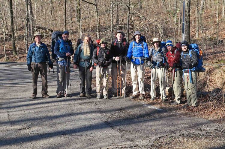
The group minus Bob’s wife, Dana who joined in at Fly Gap Trailhead.

IMG_9583rr

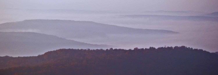
Pausing to take in the view from Hare Mountain

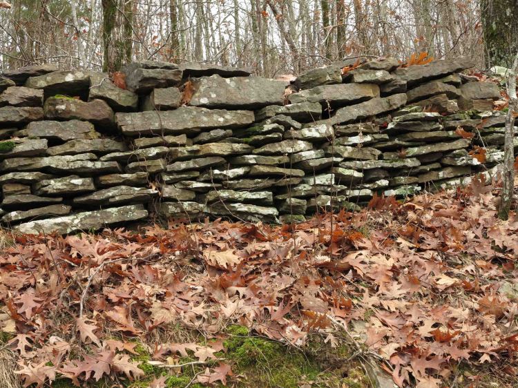
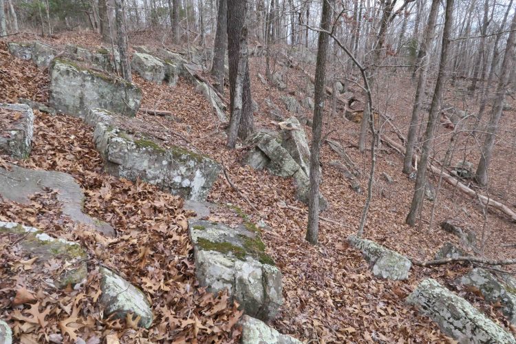
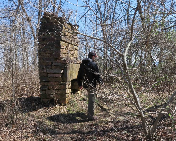
While hiking over Hare Mountain, the highest point on the OHT, we wondered how anyone could eke out a living on such a rocky terrain. A rock wall, fireplace, and still usable well are the only remnants from the early settlers.

IMG_9596rr

IMG_9618rr

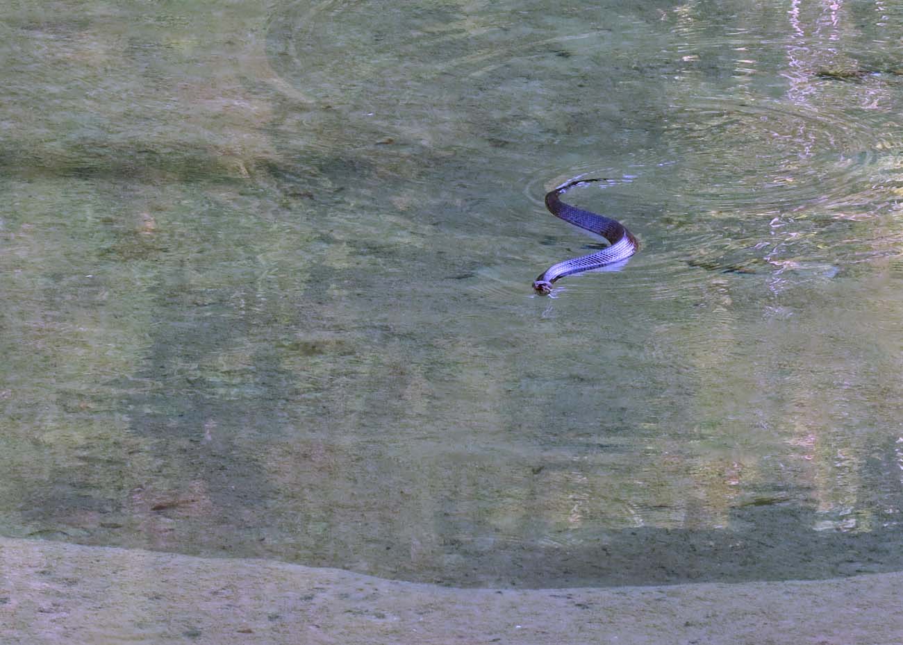
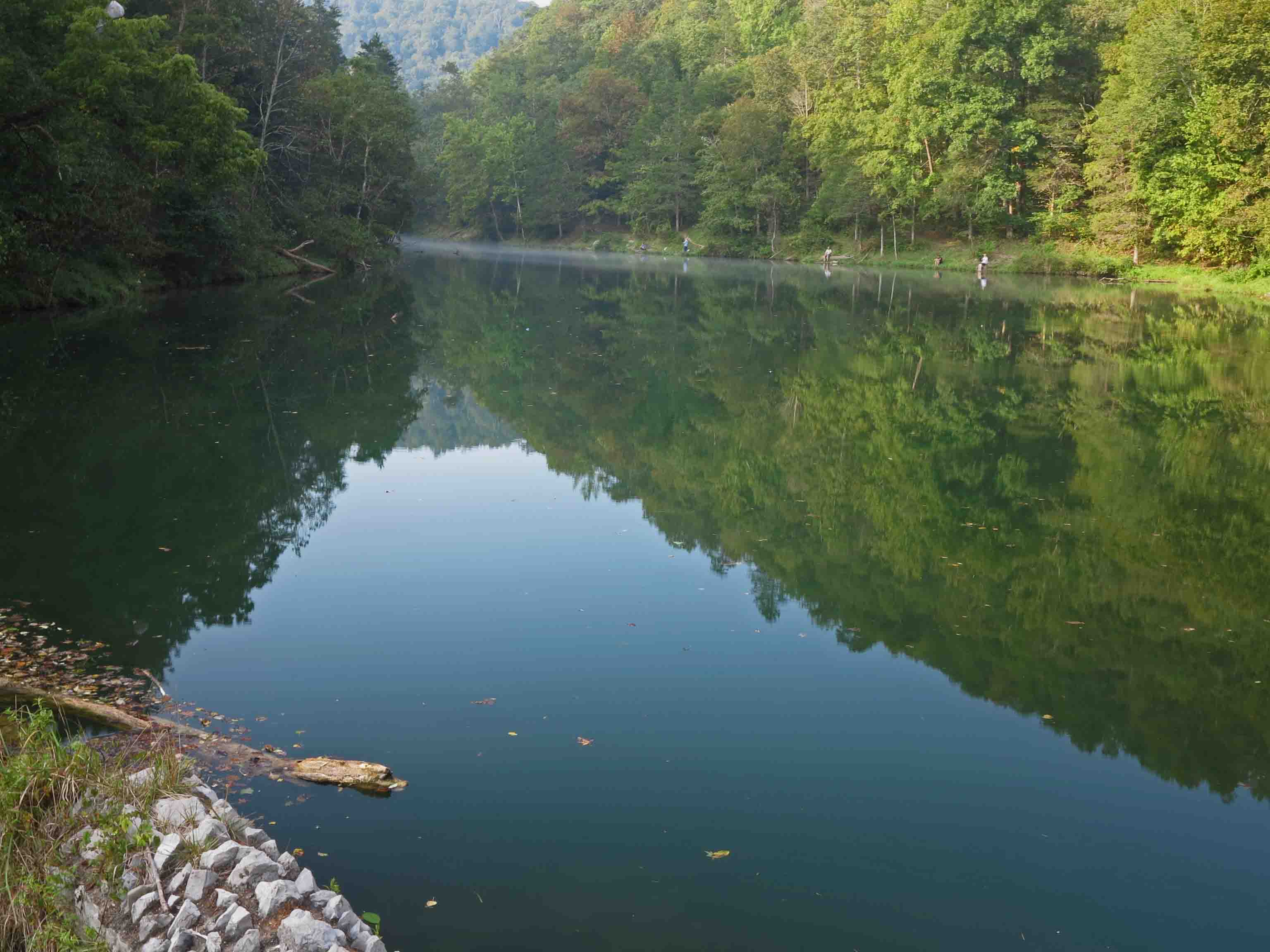
Creeks were flowing, so water options were plentiful.

IMG_9633rr

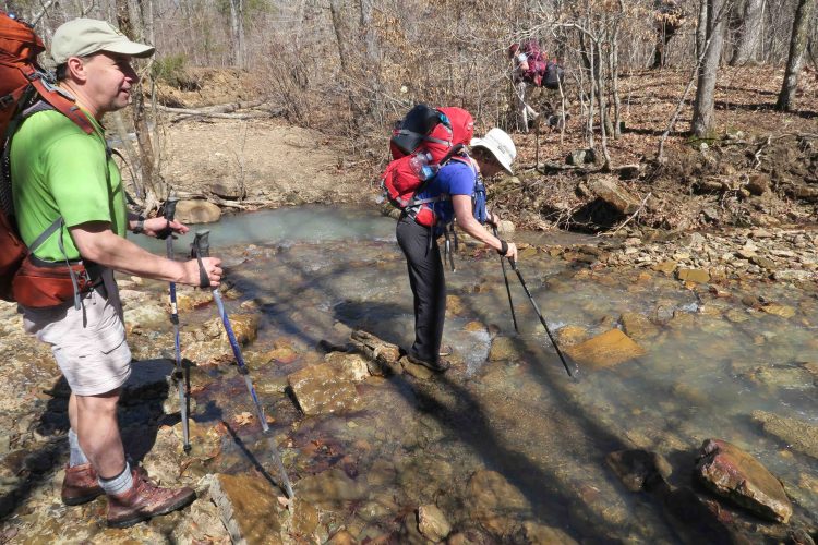
Crossing Harrod’s Creek after an 11-mile day.

IMG_9635rr

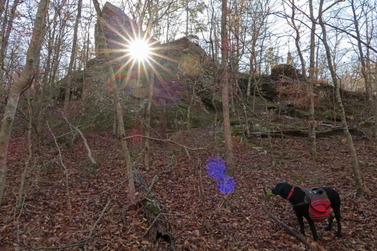
Cedar grove campground at Harrod’s Creek

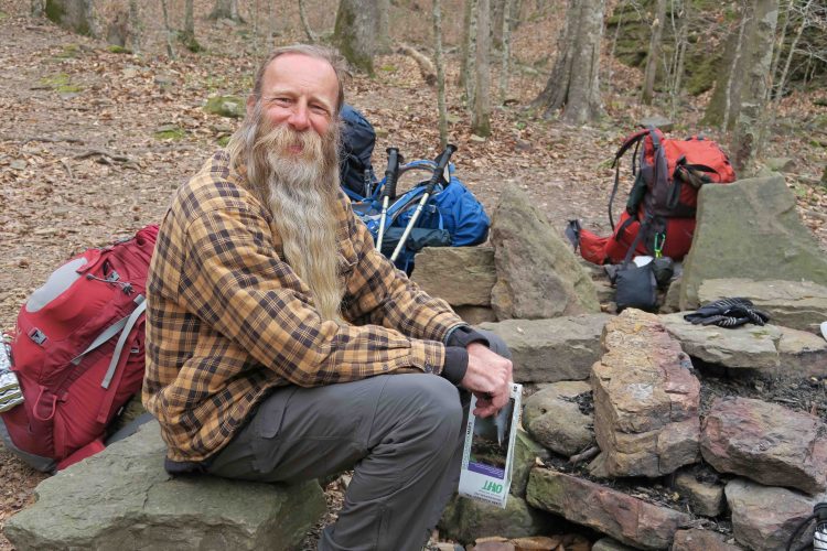
Several of us packed our bear canisters in preparation for a future trip. We enjoyed the convenience of keeping all food enclosed in a secure container rather than suspending food from tree limbs. I had my traditional tater soup with a few slices of dehydrated sweet potatoes added.

Day 2

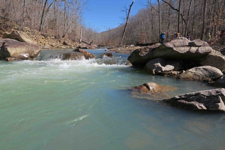
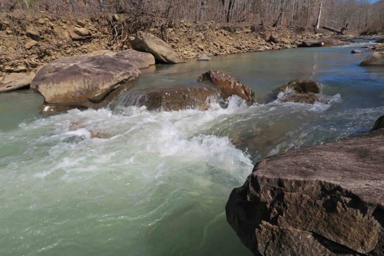
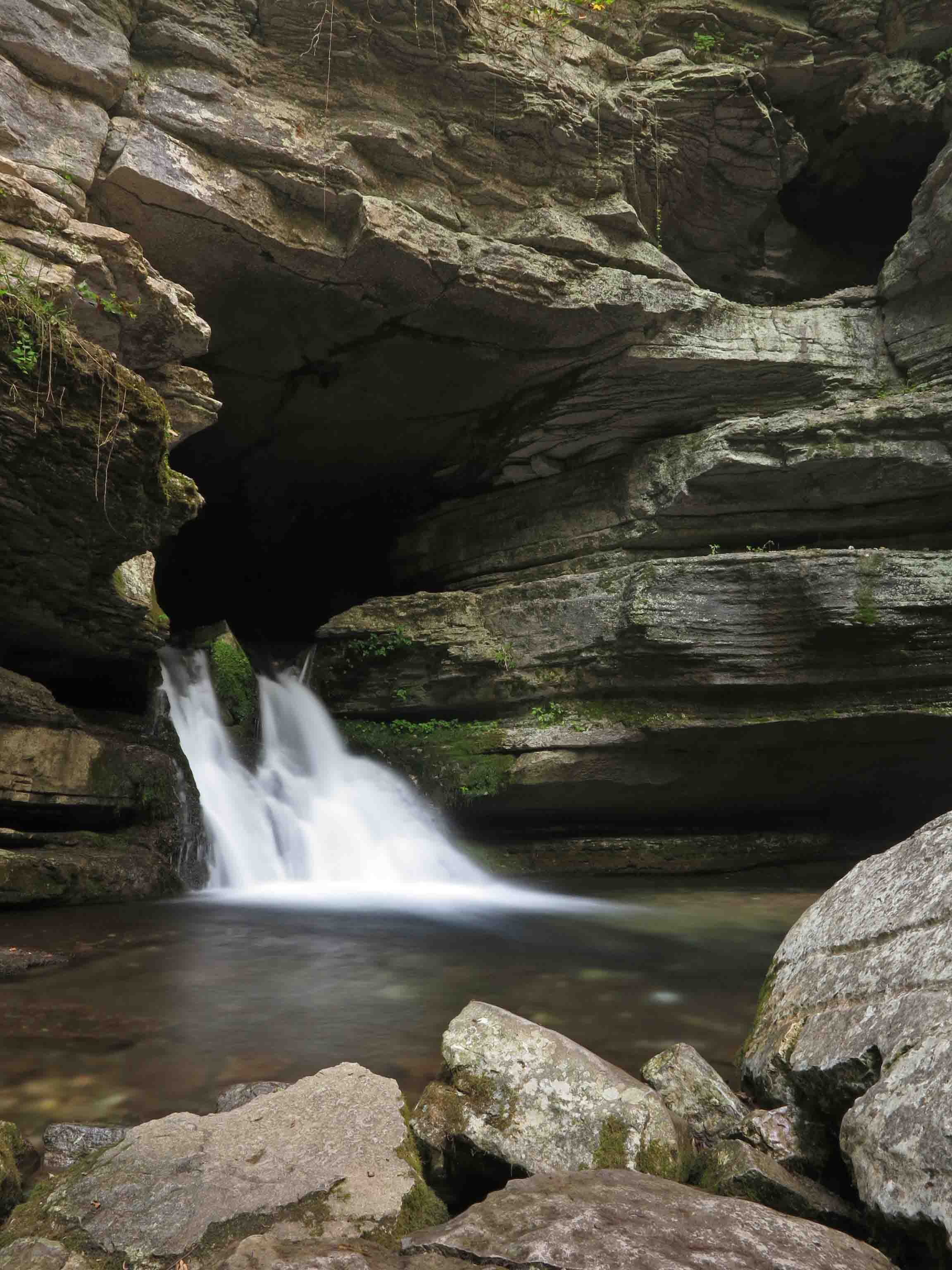
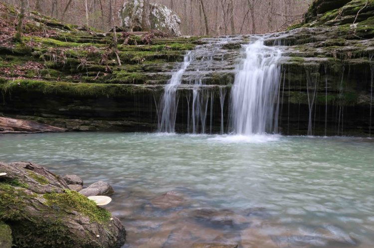
Hiking toward Indian Creek brought us alongside a beautiful stream with water features and cascades. I’d passed this small waterfall in the past, but since day two was a shorter mileage day, I took time to scramble down for a few photos.

IMG_9657rr

IMG_9695rr

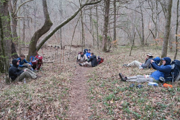
The group enjoyed an early lunch after crossing Indian Creek.

The trail holds beauty with every step. In places, the moss-covered trail surface glistened green in the distance despite foot traffic.

IMG_9696rr

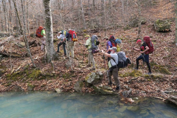
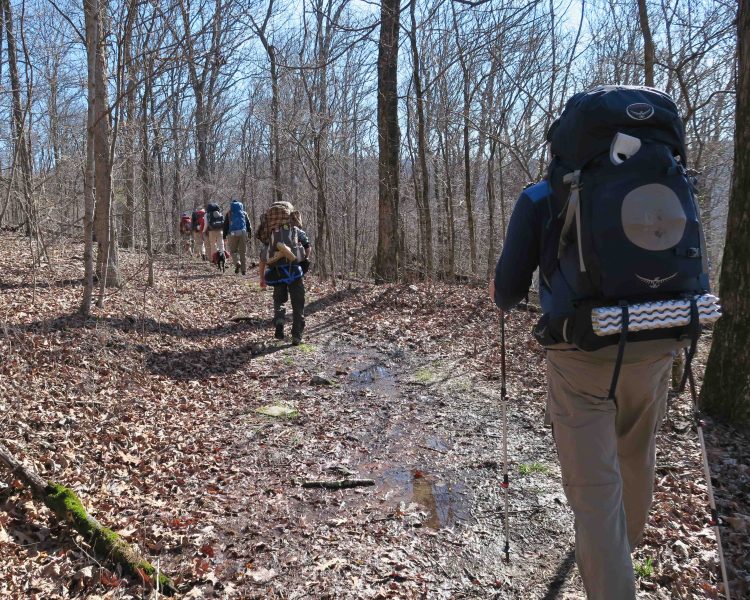
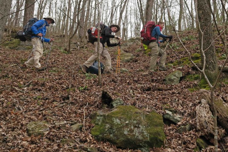
The younger hikers in our group showed no indication of discomfort. They kept on trucking down the trail.

IMG_9702rr

IMG_9716rr

Bob at the Marinoni Scenic Area campground next to Briar Branch

We enjoyed referring to the new OHT map during our trip to see the lay of the land and forest roads surrounding the trail. Bob scrambled up above the area for a look at the top of the natural bridge.

IMG_9738rr

Briar Branch has clear water most of the year. I enjoyed exploring upstream during the lazy afternoon.

IMG_9763rr

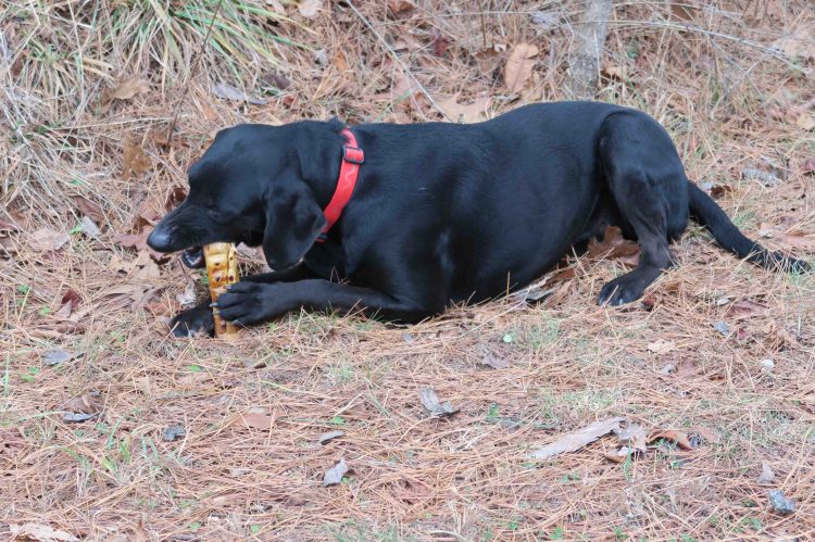
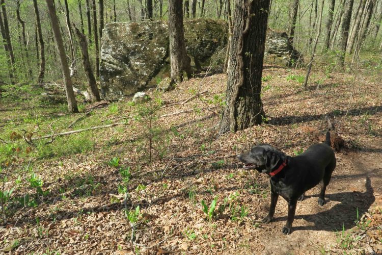
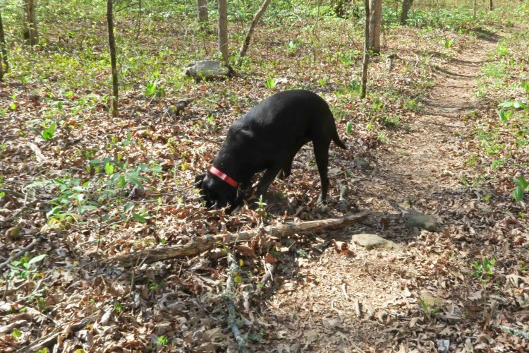
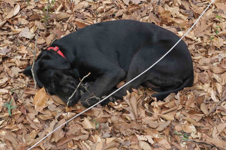
Hiker-dog ate something that didn’t agree with her system and took an extended siesta. I was a little worried about her, but she bounced back to her hyper self the next morning.

IMG_9775rr

Day 3 

IMG_9819rr

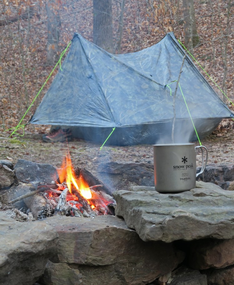
Coffee is best next to an early morning fire.

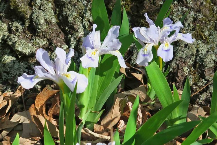
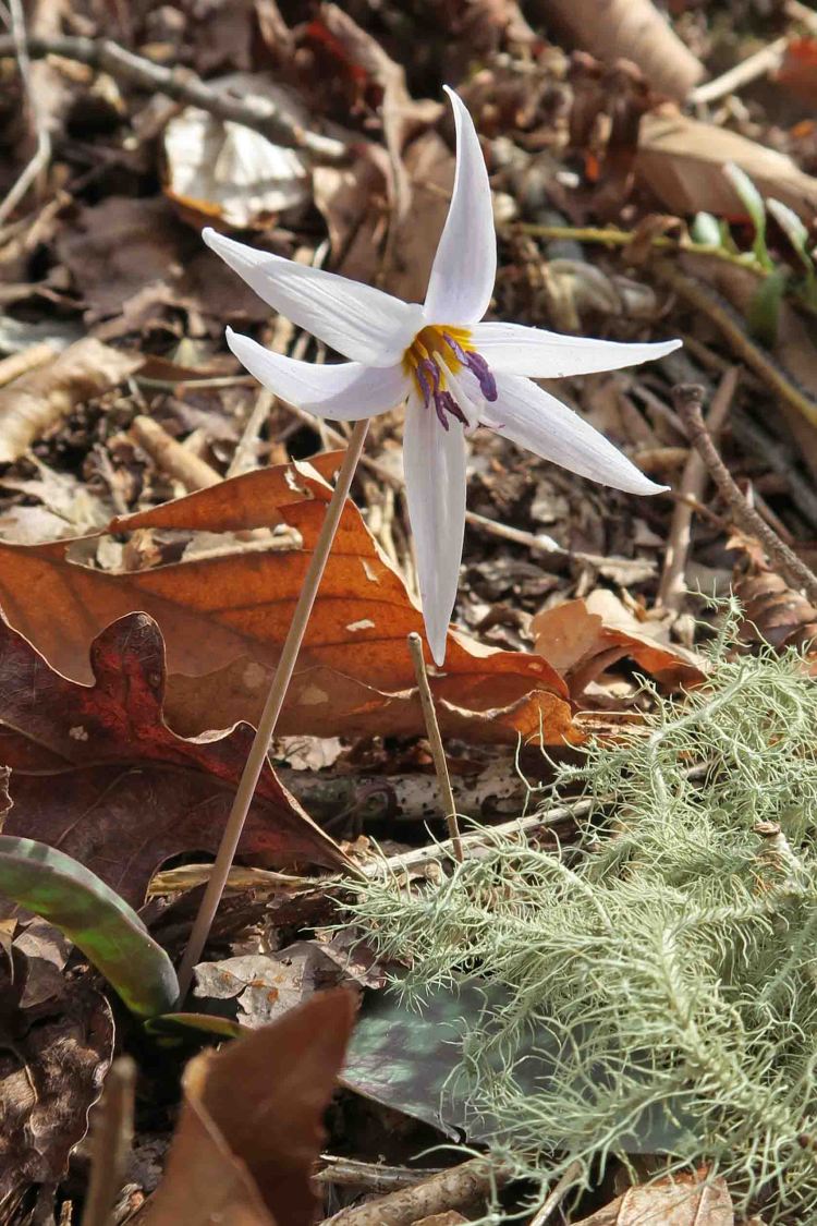
Hiking through the Marinoni is always a treat! The modest Briar Branch flows next to massive boulders brought down by years of erosion. Within a week or so, the place will be alive with wild iris and many other floral displays.

IMG_9828rr

IMG_9846rr

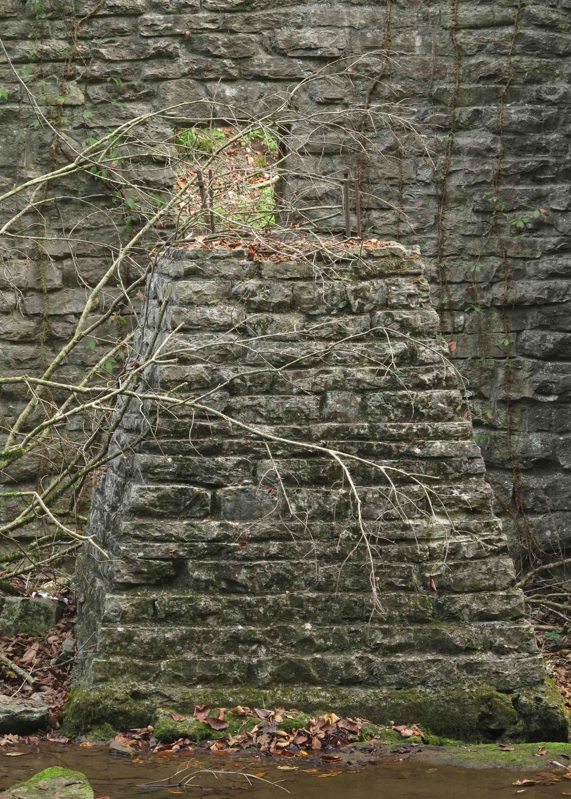
Natural Bridge in the morning sun.

IMG_9855rr

Bob and Dana passing through a rocky maze about one mile from Lick Branch

After arriving at Lick Branch, we drove away with hamburgers on our minds. As we approached Oark, we slowed down while sharing the road with horses. They stopped in at the Oark General Store, and we had a full house for lunch.

IMG_9866rr

IMG_9867rr

Nick heading in for lunch.

IMG_9872rr

Good food and fellowship.

By the end of the trip, I couldn’t tell you which two of our younger hikers had never done a backpacking trip. There was no whining, and they handled themselves like veteran backpackers. I enjoyed seeing their energy and enthusiasm, and I’m sure they enjoyed the comic relief we older hikers provided during our three days on the trail.

If you want to learn more or get driving directions to the Marinoni Scenic Area, go to Making Time for Marinoni.

Here’s a link to the Rock House where the boys spent their first night on the OHT.

Ushering in Spring on the Ozark Highlands Trail

IMG_1060rr

trout lily

This trout lily peeped up through the leaves and whispered, “Spring is near.” Mike, a fellow hiker, noticed these small wildflowers as we passed. I stopped and spent a few minutes looking and listening to what the subtle blends of color might be saying about the approaching spring.

The open woods revealed a contrast between the trout lily’s tiny voice and the soft roar of wind through the overhanging leafless hardwood canopy.

IMG_1027rr

On the OHT southeast of Arbaugh trailhead

Our route began at Arbaugh Trailhead, north of the little town of Oark, and headed east and south on the Ozark Highlands Trail. Kerry, a strong hiker and mountaineer, led our group of twelve. We enjoyed a short level walk before beginning a long steady downhill toward Lewis Prong, a beautiful stream flowing just enough to require a wet crossing.

IMG_1049rr

After crossing, I sat to enjoy the flow for a moment before moving on. Maybe recent practice at slowing down was paying off. In the past, I might have hurried on down the trail, but pausing gave me a chance to enjoy Lewis Prong and this rushing cascade downstream from our crossing.

IMG_1055rr

Turner Hollow made a nice lunch stop. Doug found the perfect sitting-rock with a view.

IMG_1066rr

We crossed several creeks that day under Kerry’s watchful eye.

IMG_1069rr.jpg

Waterfall Hollow was littered with downed trees from ice storms of the past. We saw evidence of trail maintenance all along this section. Randy, the adopter of this section, and other volunteers had spent many hours here, and we were thankful.

IMG_1078rr.jpg

The climb up and over Moonhule Mountain was tough followed by smooth sailing down to Hignite Hollow where we camped.

IMG_1091rr

As the sun went down, we began to enjoy the warmth of a fire as well as conversation and marshmallows. I used the fire to cook my broccoli cheese soup with dehydrated potatoes. The temperature probably dipped down into the upper 30s on this clear, star-filled night.

The next morning I was up at first light and headed out for a short hike with camera in hand. I hiked along the trail and then down an old roadbed to a drainage that led back to Hignite Hollow Creek. It was a pleasurable hike, especially where the creek formed small cascades that shimmered in the morning light.

IMG_1115rr

IMG_1149rr

Morning coffee before continuing toward Ozone Campground

IMG_1179rr

Boomer Branch was a dry crossing though the water was clear and inviting. Once on the other side, the route continued up and away from the creek. Mike stopped for a photo as the group headed out.

IMG_1183rr

After a short climb, we followed a beautiful ridge walk before descending to, and crossing, the Mulberry River. At my feet’s request, I remained standing in the creek a few extra seconds. The cold water felt good on tired feet and legs.

Some tough climbs awaited us as we moved away from the Mulberry and eventually to Ozone. A familiar looking trout lily stood silently as I passed. It seemed to be saying, “Hope you enjoyed your springtime hike. Think of this cool morning next July!”

I thought about how much this little stretch of trail had given me during my two-day trek. Gifts from the trail are often more than expected, and this hike was no exception.

IMG_1191rr

Back to Morgan Mountain and Lessons in Slowing Down

IMG_0697rr

Hiker at a potential wet-season waterfall after our climb.

It had been 20 days since I resolved to slow down and do some exploring on Morgan Mountain. Hiker-dog and I decided to use the Redding Loop as a jumping off point. Several rocky drains asked to be explored, so I answered by using the rocky routes to see some new landscape and get in some good climbs.

As I was climbing pretty hard, I looked up to see Hiker-dog in the distance already at the top. She seemed to be looking down and wondering what was taking so long. Then she flew down the hill, arriving at my side within a few seconds. I was envious.

IMG_0706rr

From the lower falls on Redding Loop, we climbed up the drainage, finally reaching the dome of this small mountain. After a break, I looked at the map and decided to follow the next drain down, thinking it would probably take us down to the upper falls. After reaching those falls (all pretty dry), we followed the loop around and back to Redding Camp Ground.

Along the way, Hiker did some serious dog-work looking for moles. She came up empty today but had a dirty nose to prove her work.

IMG_0714rr

Digging for moles

IMG_0723rr

A recent controlled burn gave the woods that familiar campfire smell. Hiker leashed up when we got close to Hwy 215 and the campground.

IMG_0732rr

IMG_0756rr

We stopped off to view the Mulberry River before heading toTurner Bend for lunch. Today was a good blend of covering some miles, but taking time to explore and sit still for a while. I still need more training in slowing down and letting my routes be flexible, but today was a nice beginning.

IMG_0761rr

Turner Bend’s “Almost Famous” ham sandwich is awesome! 

Rock House on the Ozark Highlands Trail Revisited

IMG_5349rr

We began at Cherry Bend Trailhead on AR 23 hiking the Ozark Highlands Trail to the west and stopped at the Rock House before continuing toward Fane Creek. Today I remembered the cold and rainy day when Bob and I sought refuge here on our thru-hike of the OHT. Later in that trip we found Hiker-dog. I should probably plan a camping trip at the Rock House for her in the future.

Today, Bob and his wife, Dana along with Mary, Mike, and his granddaughter took a few minutes to pause and have a look. Below are a few photos from today’s visit that you might enjoy. For a little history of the Rock House, visit my earlier post, Rock House on the OHT.

IMG_5367rr

Hiker investigating the Rock House 

IMG_5352rr

IMG_5373rr

Spring in the back corner

IMG_5382rr

Wondering how much longer this stone will stay in place. 

IMG_5384rr

Hiker seemed to be saying it was time to go. 

Grays and Greens in the Ozarks

This photo topic interested me, and I realized that several shots from this week’s hike were monochromatic views of nature. In the Ozarks, various tones and hues of a predominant color can be inviting. Having said that, the following photo was not inviting enough to make me want to wade into Sylamore Creek at this specific location.

Happy swimmer in the cool water of the Sylamore Creek on the Ozark Highlands Trail.

Happy swimmer in the cool water of the Sylamore Creek on the Ozark Highlands Trail.

The next scene was taken before sunrise. This view from the edge of a bluff communicated distance and size with little variation in color although the indirect light of the sun was beginning to play with the fog.

North Sylamore Creek Valley

North Sylamore Creek Valley

Blandard Springs

Blandard Springs

My apologies if this isn’t true to the monochromatic theme, but the predominance of grays and absence of color in the spilling spring seemed to fit. The only hint at another basic color is the green of moss at the mouth of this cold, year round spring. Notice the opening at the upper right-hand corner.  This is an earlier exit for spring water before years of erosion formed the scene we see today.

Mirror Lake

Mirror Lake

Blanchard Springs eventually flows into Mirror Lake, a green on green scene.

This is the pedestal on which a waterwheel once turned. John Blanchard built this undershot grist mill in the 1880s. It sits downstream from Mirror Lake Dam as testimony to the hard working people who once made their lives in the Ozarks. The CCC restored the dam and part of the mill during the 1940s.

Grist mill

Grist mill

In response to The Daily Post’s weekly photo challenge: “Monochromatic.”

Trail Work in July?

A few weeks ago I was appalled to find some major tree blowdowns on my adopted section of the Ozark Highlands Trail. I’ve bragged that since my section follows the Jack Creek drainage, it’s protected from winds and ice. We weren’t so lucky this time.

From the pattern of downed trees, a microburst must have passed through a portion of the area and dipped into my quiet little valley. Large trees fell like dominoes, some across the trail.

Mike LeMaster and I decided to work this section from Dockery Gap (approx.  mile 10.5) west to around mile 6. Out-and-back, this came to around 9 miles with numerous stops to cut and clear. Mike likes doing some trail maintenance in the summer to stay in shape for the busier maintenance and hiking months in the fall. We got a good workout on this day!

Mike cutting the first tree encountered.

Mike cutting the first tree encountered.

We found several large trees across the trail between mile 9 and 10, but this wasn’t the worst of it.

Typical

Before photo: Typical “blowdown” encountered on the trail.

This was the scene in several spots on the trail. We first had to determine the trail route through multiple downed trees and then Mike began to do his chainsaw magic. My job as “swamper” was to pull stuff off of the trail and stay out of the way.

After

After

Large oaks toppled head-high across the trail at one creek crossing.

This large trunk was head-high across the trail close to a creek crossing.

One of the things I asked Mike to agree to was that I carry the chainsaw. It was the least I could do after he sawed on this July day with a heat advisory in effect. I later learned that Mike was looking forward to a cool dip in Jack Creek at the far end of our maintenance route. I was looking forward to filtering a fresh batch of water (upstream from Mike) for our return hike to Dockery Gap. It was nice to cool off and unusual to have so much water in the creeks in July!

Jack Creek close to mile 6

Jack Creek close to mile 6

I want to say a big thank you to Mike for braving the heat and helping me with my section of trail. As a board member of the Ozark Highlands Trail Association (volunteer position), he takes a hands-on approach to leadership! It felt good to walk back through the areas we’d cleared earlier. While working this section, I concocted a plan to backpack from Lake Fort Smith to White Rock Mountain and on to Fane Creek in the fall. Can’t wait to see this area again….in cooler temps!

Mike, a master sawyer!

Mike, a master sawyer!