Hiking to Granny Henderson’s House

IMG_7705rr

We had an unusual break in the Arkansas heat and made a quick hike to Granny Henderson’s house just below Goat Bluff on the Buffalo River. Steve, Eddie, and I were looking forward to the hike up and out to check our fitness level for future trips. It’s a pretty tough climb, but the rewards for going down are great. The hike back up gave us confidence that we’re in pretty decent shape for elder hikers.

IMG_7670rr

I’ve hiked to Granny Henderson’s many times but was excited to see it again. I ended up noticing a few things I’d not seen before.

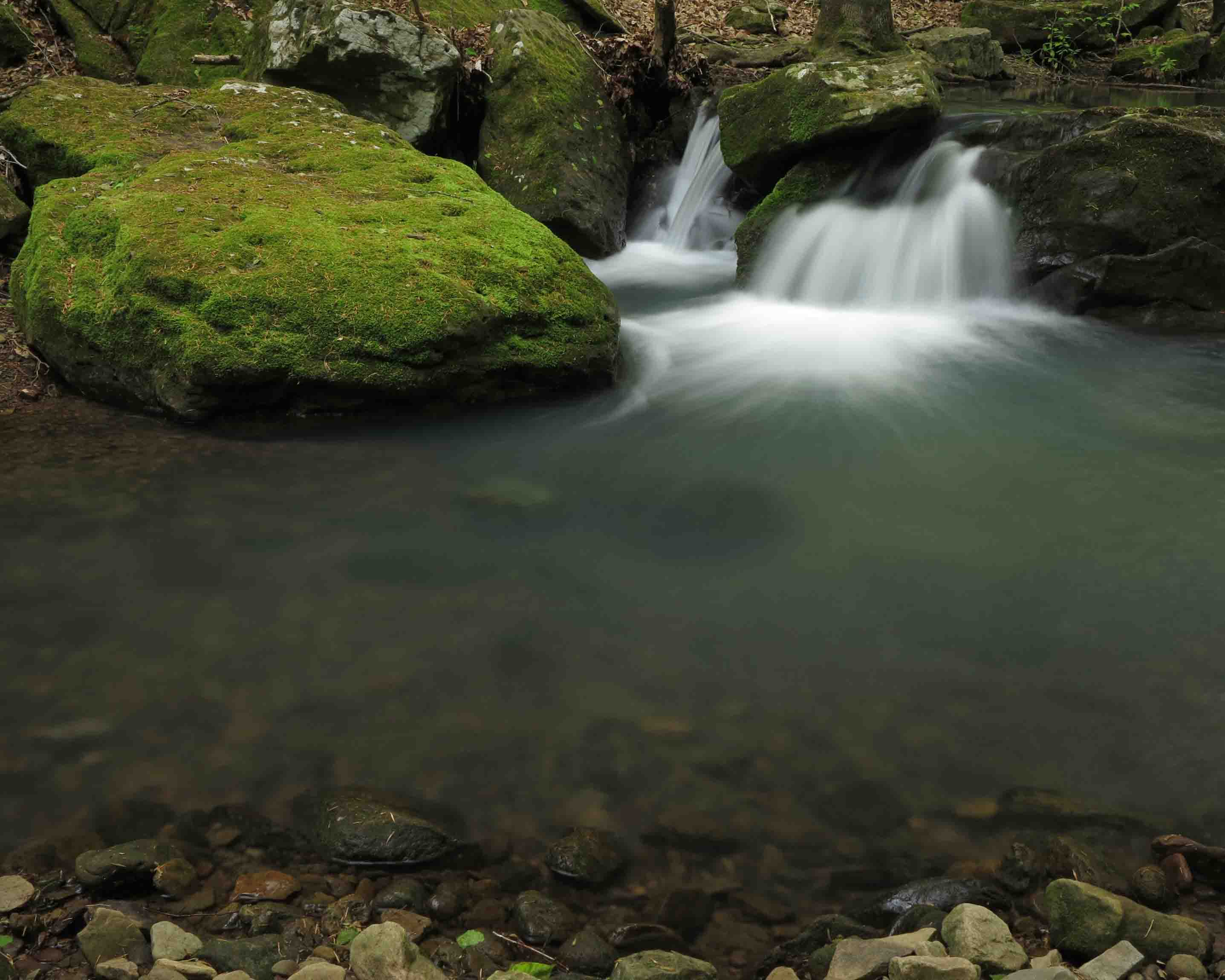
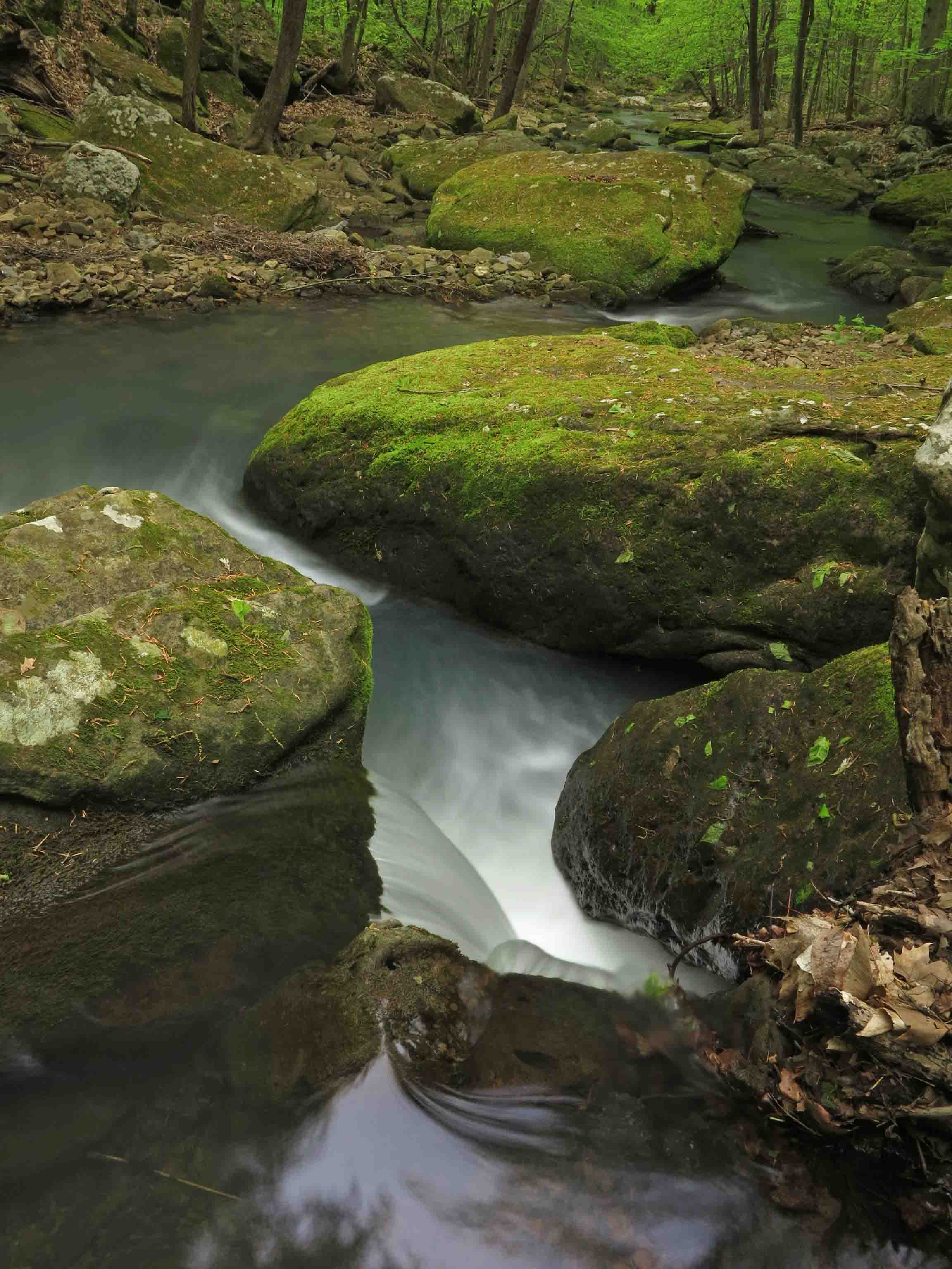
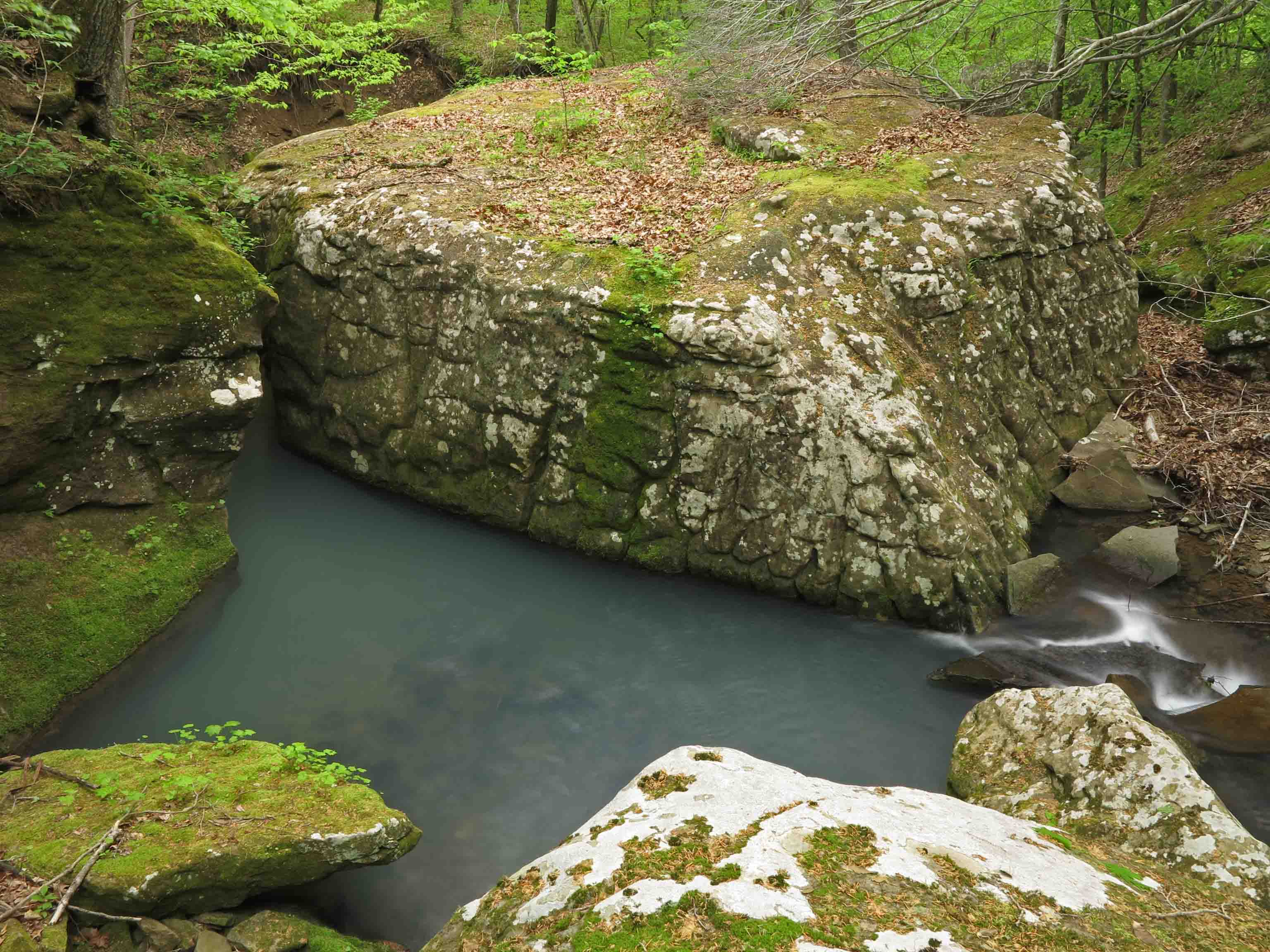
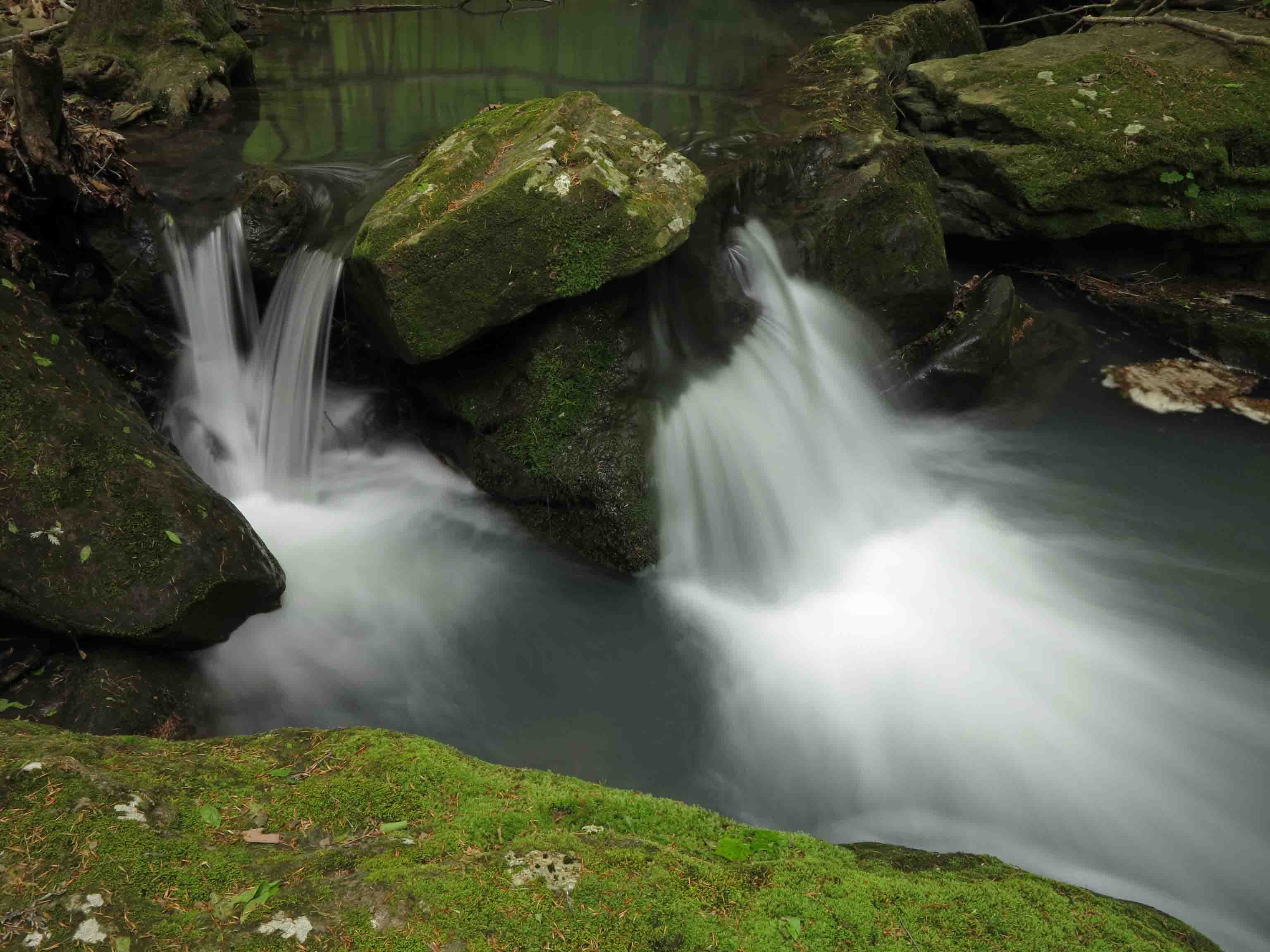
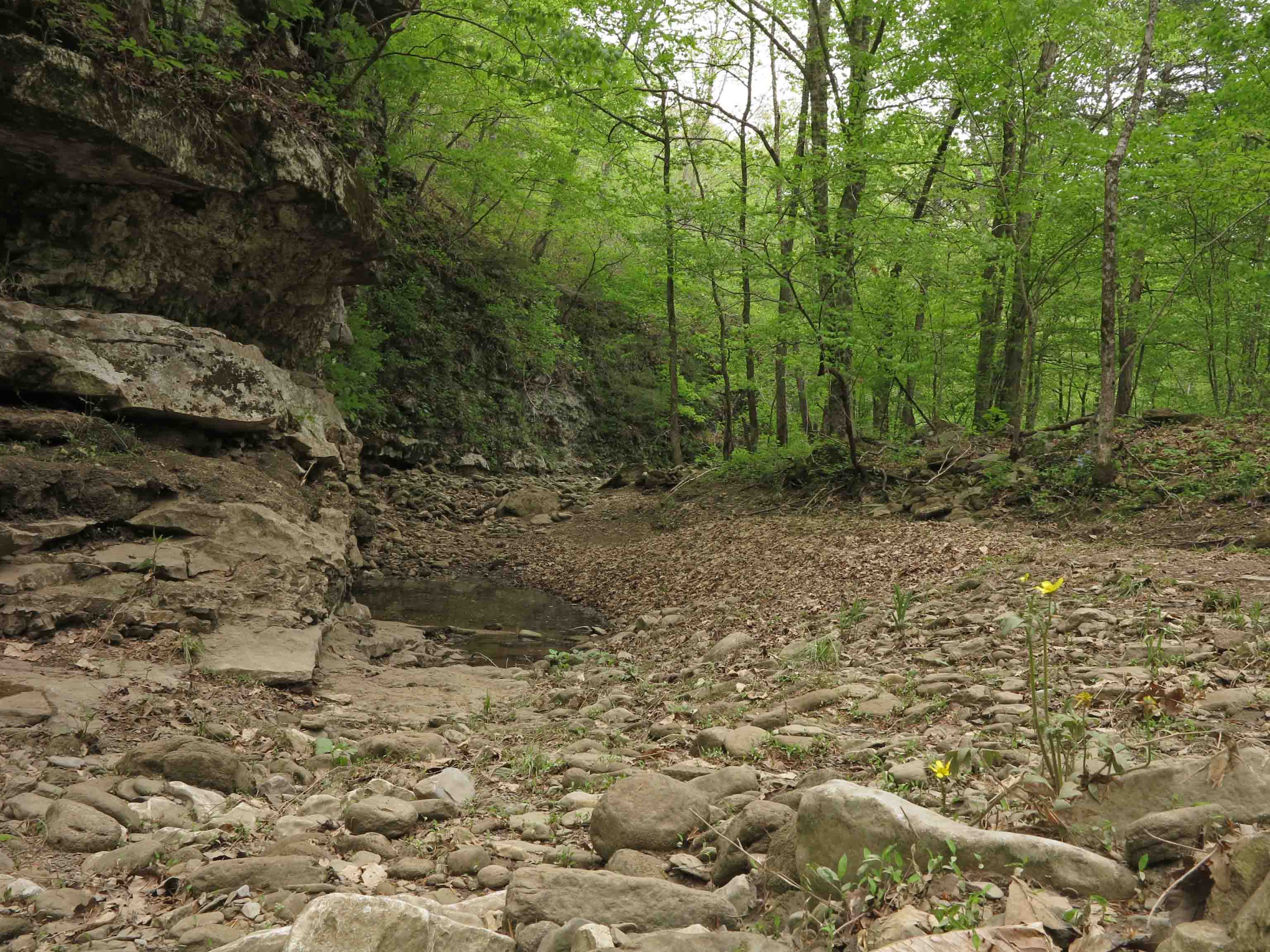
The most obvious difference was the season. We would normally hike this trail any time other than summer. Rains had been good, so everything was a rich, lush green.

From inside the house, you can see the stone root cellar a few yards to the rear. The roof is long gone, but the rock walls still stand.

We parked our day packs on the porch for lunch and some quick exploring. I went to the attic for a close look at some of the newspapers used as insulating wallpaper. An ad for a 1927 Chrysler 50 for $750 was still visible as well as a milking machine.

IMG_7678rr

IMG_7688rr

The wood-burning stove still stands close to the brick chimney along with a rusted out iron pan.

IMG_7665rr

IMG_7720rrThis little moth visited on the front porch during lunch. We enjoyed the vivid colors.

I paused for one more glance back at Granny Henderson’s house, thinking of the lady who lived here alone from 1951, when her husband died, to 1979.

IMG_7728rr

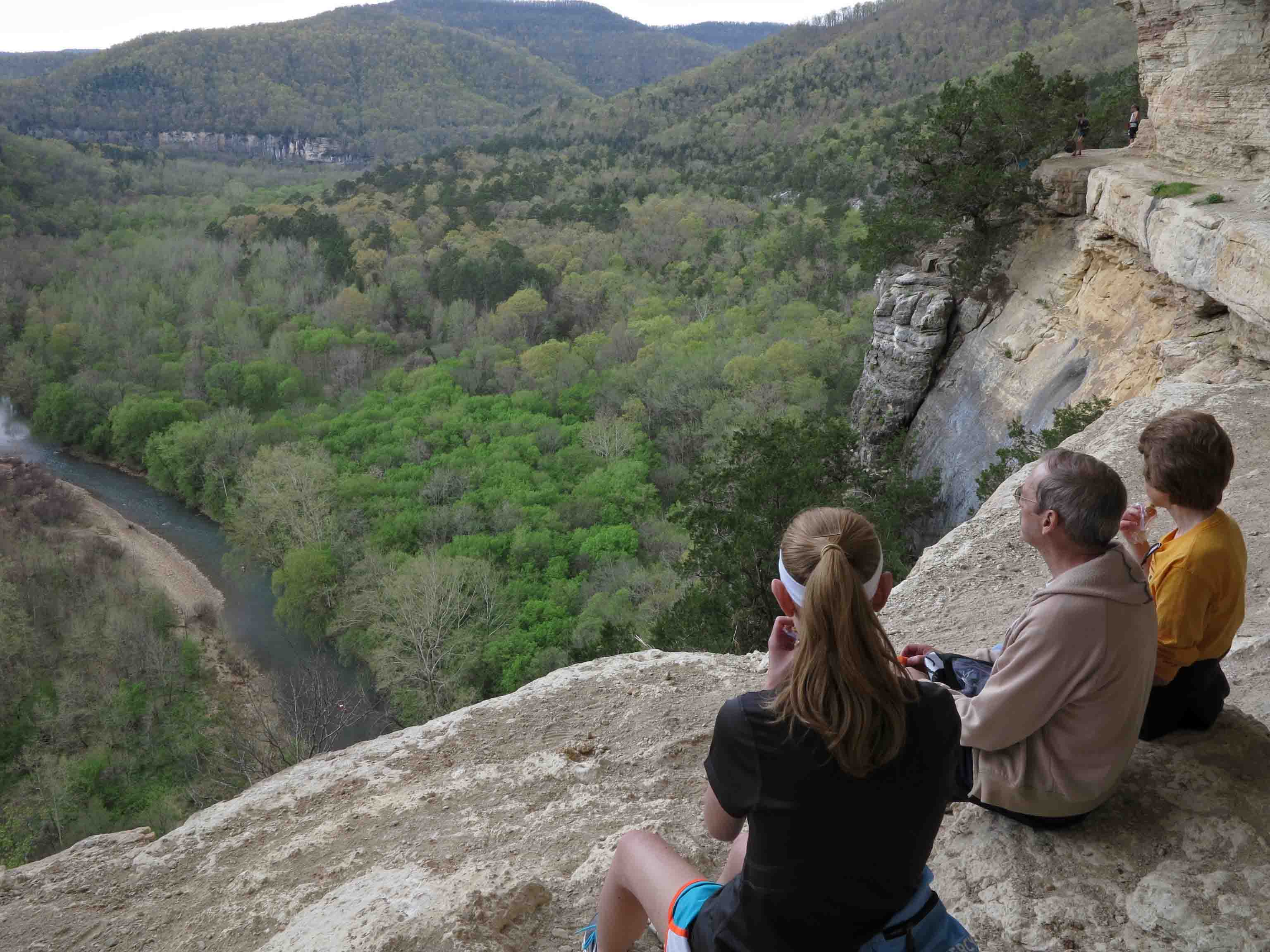
From here, it was all uphill, literally. We took a break at the Goat Bluff Trail and enjoyed the view down to the Buffalo River.

IMG_7760rr

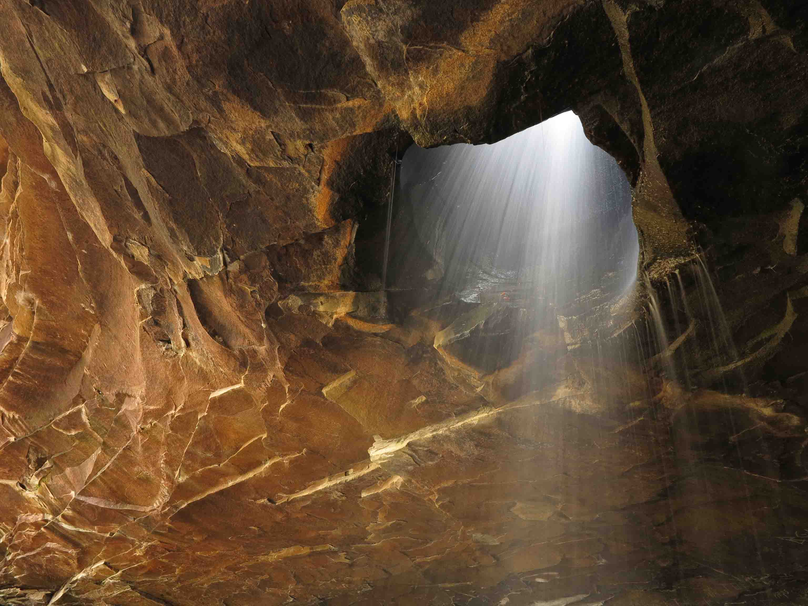
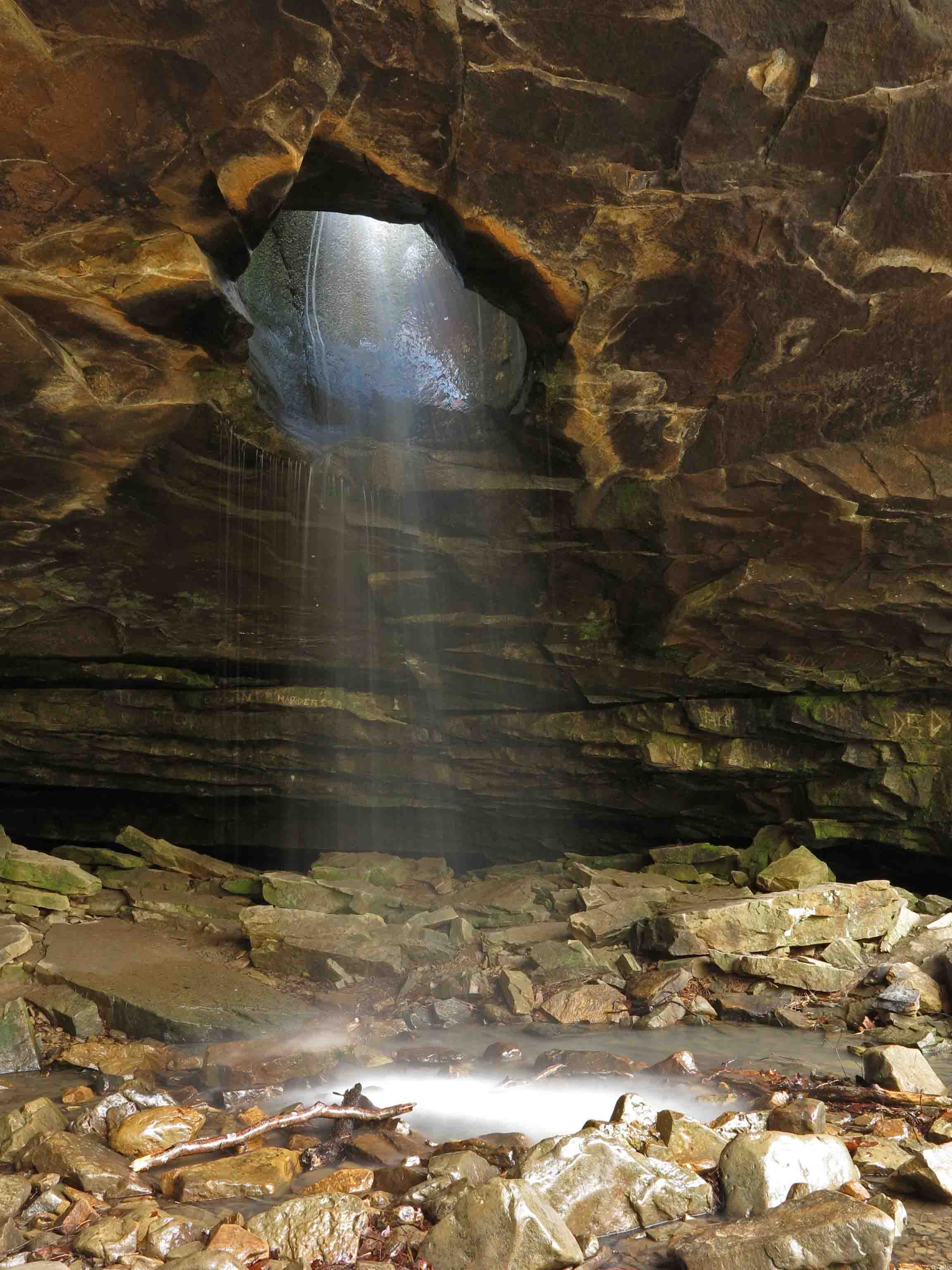
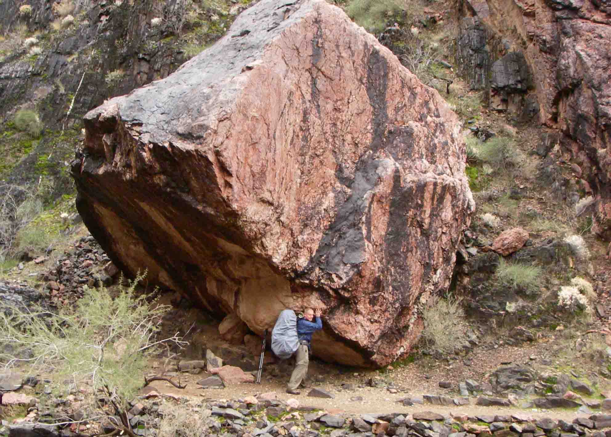
I couldn’t resist the urge to crawl through the small hole in the bluff where I’m sure children, and adults, have easily passed through for years.

IMG_7771rr

Our hike back to the Center Point Trailhead felt good. We were pleased we went down in the morning as we met around eighteen hikers heading down to where we’d been. We had Granny Henderson’s house to ourselves, which is unusual.

IMG_4354rr
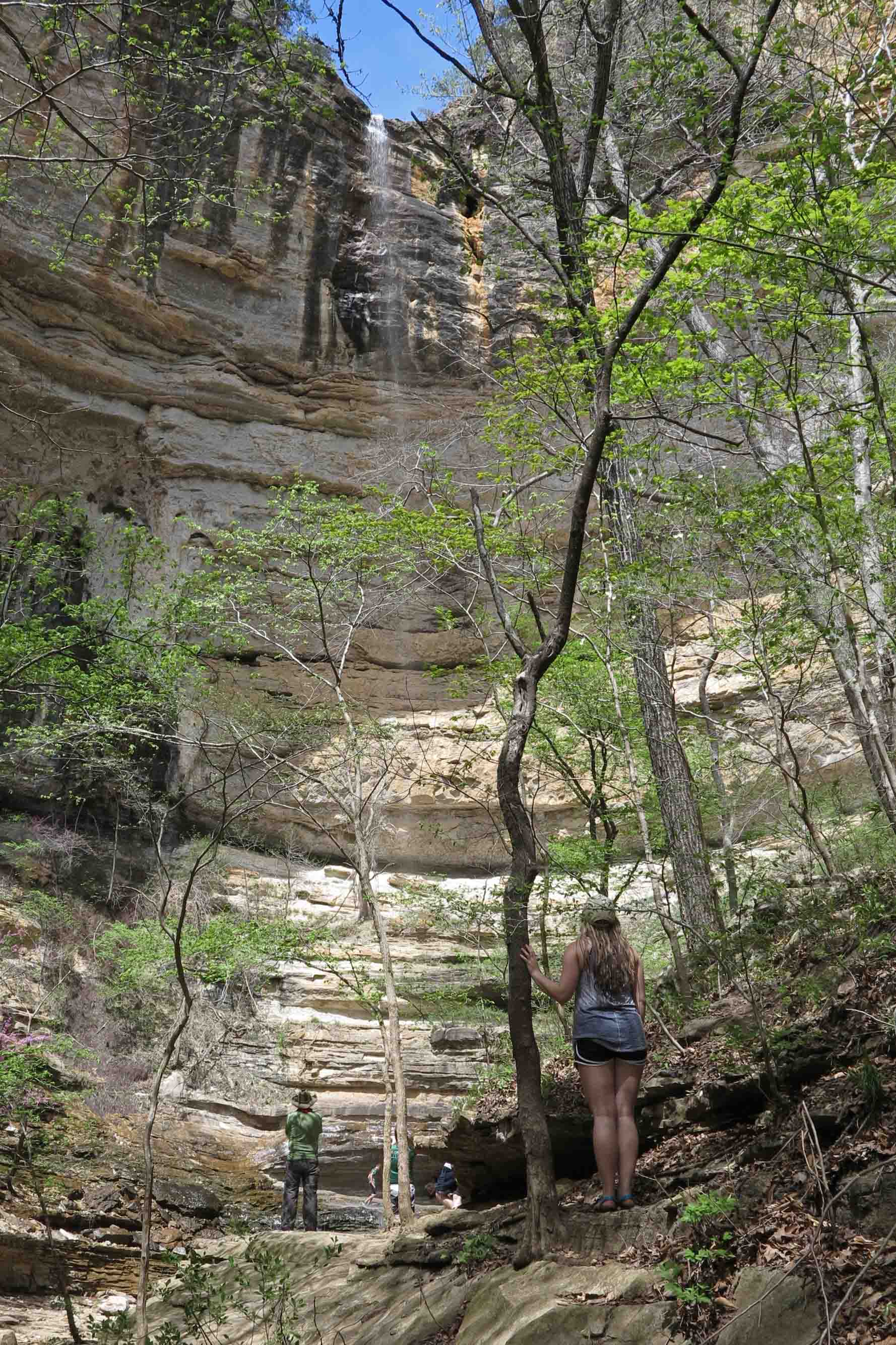
I’m looking forward to visiting again in the fall. If you’d like a map and trail description, check out my guidebook, Five Star Trails: The Ozarks. It covers what we hiked on this trip as well as Hemmed In Hollow Falls for an 11-mile round trip.

If you’d like to learn more about Granny Henderson, the following video includes comments from her great-granddaughter, Marietta Williams. After that is a link to a song by Still on the Hill that relates to Granny Henderson.


Top Ten Posts for 2018

Thank you for letting me share my love for the Ozarks. I sometimes describe this blog as my online scrapbook. I enjoy looking back at previous trips, sometimes to check my memory or relive the joy of the trail. In one of these posts, I reflect on the loss of a friend and the positive impact of his life.

Below I’ve listed the top ten viewed posts from 2018. I hope you’ll sample some of these posts and be inspired to take a hike.  – Jim Warnock

1. Hiking Rush, an Arkansas Ghost Town Photo Tour

2. Walk…Eat…Sleep…Repeat – The Ozark Highlands Trail 

3. Loss of a Friend A tribute to Roy Senyard

4. How to Prepare for a Multi-Day Backpacking Trip

5. Rock House on the Ozark Highlands Trail

6. Buffalo River from Boxley to Pruitt in “Typical” Arkansas Weather

7. Ouachita Trail Completed

8. My Morning Brew: Great Coffee on the Trail

9. Coloring Our World: 88 Miles on Missouri’s Ozark Trail

10. My book – Five Star Trails: The Ozarks

IMG_9024rr

Happy Places Above the Fray

Sylamore Creek Valley

Sylamore Creek Valley

My happy place is on almost any Arkansas ridge overlooking an Arkansas stream. One of my favorites is Sylamore Creek Trail north of Blanchard Springs. After just a few steps onto this trail, I feel tension leaving my shoulders and my steps become lighter. This picture is from a recent hike, Sylamore Trail, Getting Reacquainted.

Another favorite ridge-top hike is overlooking the Buffalo River in the Tyler Bend area. It provides the right mix of adventure, history of place, and sheer beauty. To see more of this area you might enjoy Buffalo River From Boxely to Pruitt in Typical Arkansas Weather.

Buffalo River

Buffalo River

My ultimate “happy place” outside of Arkansas also involves a “little stream,” but this stream formed a “little canyon” in Arizona. The Grand Canyon surrounding the Colorado River provides relaxing reflective moments when I pause to remember how it felt to stand in awe of such beauty. To take a quick trip through The Canyon with a few friends of mine, read Seeking Something Grand.

View at dusk the evening we arrived at the South Rim.

View at dusk the evening we arrived at the South Rim.

I’m thankful for the memories of these happy places and the healing effects they have on my daily life.

In response to The Daily Post’s weekly photo challenge: “Happy Place.”

Movement of Water: Divine Brushstrokes

Elise Falls

Elise Falls

The movement of water fascinates me. I feel like I’m recording the movement of divine brushstrokes across stone and air. These photos are from yesterday’s early morning 5-mile hike in the Smith Creek Preserve.  Smith Creek flows into the Buffalo River, America’s first National River.

IMG_8330rr

View downstream from a little cascade.

View downstream from a little cascade.

Smith Creek

Smith Creek

Even in the stillness of this pool there is movement below and lightly dancing reflections on the surface.

In response to The Daily Post’s weekly photo challenge: “Motion.”

Smith Creek Preserve Trail: A New Jewel in Arkansas

Smith Creek

Smith Creek

Judging from the strata making up the sedimentary bluffs bordering Smith Creek, there’s nothing new about this area geologically, but public access to this jewel is new.  Thanks to Marty and Elise Roenigk, who transferred their property to the Nature Conservancy to establish Smith Creek Preserve, this area will be protected from development and destruction.

If you hike this trail, please tread lightly and leave as little impact as possible. The “trails” are almost exclusively old roadbeds. When the trail moves away from the roadbed, watch for round yellow arrows that indicate the route.

Two hikers beginning their hike.

Two hikers beginning their hike

Smith Creek is small and unassuming, but its beauty is rich and varied. I began my hike with a headlamp and had no trouble following the main road that leads alongside Smith Creek to Big Spring. I then did the Lower Trail and visited Elise Falls before hiking back to the trailhead.  My route was approximately 5 miles. I took almost five hours, not because of the difficulty, but because of the need to stop for photo-breaks. I finished up around 11:00 a.m. and had the whole place to myself. A couple arrived as I finished my hike.

What follows are a few photos from my Saturday morning hike.

Update: October, 2016 – Five Star Trail: The Ozarks includes a map, driving directions, GPS coordinates, and a trail description for Smith Creek Trail.

Large boulders in and around the creek

Large boulders in and around the creek

I wanted to step onto the large boulder in the center of Smith Creek, but the gap between rocks is deceptive in this photo. I wasn’t willing to try the jump. The drop looked like more than fifteen feet down to the water. The boulders are much larger than can be communicated with a photo lacking humans for scale.

Little falls are sprinkled all along the creek.

Little falls are sprinkled all along the creek.

View downstream from a little cascade.

View downstream from a little cascade.

Round arrow markers indicate a spur from where the trail crosses the dry wash below. Following these arrows down the drain will bring you to another stream and Elise Falls. Watch your step because weathered limestone can be very slippery!

A small bluff next to a dry wash close to Smith Creek.

A small bluff next to a dry wash close to Smith Creek.

Elise Falls

Elise Falls

Seeing Big Spring was a highlight for me. This is no small seep! It puts out a high volume of water and forms a small stream that flows a short distance before joining with Smith Creek.

Big Spring

Big Spring

Stream flowing away from Big Spring

Stream flowing away from Big Spring toward Smith Creek

The Smith Creek Trailhead is located on AR 21, eight miles south of Ponca. Visit nature.org and search for Smith Creek Preserve to find more information. The trail kiosk had maps and brochures for visitors similar to what is available online.

Smith Creek Trailhead

Smith Creek Trailhead

Hemmed In Hollow and a Great Big Small World

IMG_7636rr

Glory Hole Falls

The day began with an early morning drive to the Buffalo River area. My plan was to get an early start on the 11-mile out-and-back hike to Hemmed in Hollow from the Centerpoint Trailhead. Hiker-dog couldn’t make this trip as dogs are not allowed on the Hemmed in Hollow Trail.

As I drove toward Ponca, I passed the parking area for the Glory Hole Falls. There wasn’t a single car, so I pulled in and grabbed my camera and tripod, excited to have the place to myself. The last time I was there, it was crowded and the afternoon sun was glaring into the falls.

IMG_7623rr

Glory Hole Falls

I had a good time taking pictures for about 45-minutes before hiking back up and out. I passed at least twenty hikers descending toward the falls at 9:30 a.m.

Small flow above the falls.

Small flow above the falls.

It was 10:30 a.m. before I got to the Centerpoint Trailhead. So much for the early start. I enjoyed spending some time on Goat Bluff and meeting hikers from Missouri, Louisiana, and Northwest Arkansas. One hiker asked about the restrooms down by the river. I told him that was one of the Villines homesites. I think he was surprised. I was thinking how thankful I was that restrooms were not cluttering this beautiful view.

Hiker on Goat Bluff

Hiker on Goat Bluff

Family enjoying lunch on Goat Bluff

Family enjoying lunch on Goat Bluff

Granny Henderson’s home was a treat to visit again. I noticed the paper telling her story was missing from the front porch where it used to be posted.

Granny Henderson House

Granny Henderson House

Inside Granny Henderson's House

Inside Granny Henderson’s House

Sneeds Creek

Sneeds Creek

Crossing Sneeds Creek in route to Hemmed In Hollow Falls was a pleasure. I made note to be sure and filter water on my hike back out. I’d forgotten just how beautiful the approach to Hemmed In Hollow was. There are several cascades and waterfalls downstream from the main falls. I was beginning to budget my remaining daylight and decided to return to explore this area another, hopefully, overcast day (better for waterfall photos).

Yancy at Hemmed In Hollows Waterfall

Yancy at Hemmed In Hollows Waterfall

When I arrived at Hemmed in Hollows Falls, I set up my tripod and took a couple of shots. A young man approached me and called my name. Turns out it was a former student, Yancy. Running into him in one of the more difficult hiking locations of Arkansas reinforced the “small world” concept. We laughed because the last time we’d met, we were volunteering for the Lee Creek cleanup in Devils’ Den.

Yancy's oldest daughter taking in the view.

Yancy’s oldest daughter taking in the view.

Yancy introduced me to his daughters, and we had a nice visit. They took turns posing in front of the falls. I was pleased because this adds a sense of perspective on this 200+foot waterfall. The ribbon of water is visible toward the top of the bluff, but winds cause the stream to spread as it falls.

The hike back up to Centerpoint Trailhead was just as steep as I remembered but not as long. If you get in a hurry, this climb will humble the strongest of hikers. It was a 14-mile day between the Glory Hole Falls and Hemmed in Hollow.  A full day of hiking in this great big beautiful (and sometimes small) world.

Elk Burger at Arkansas House Cafe

Elk Burger at Arkansas House Cafe

My post-hike meal was an Elk Burger at the Arkansas House Cafe in Jasper. Taters on the side of course. The waitstaff stayed busy refilling my ice tea.

I had a short conversation with the owner of the Arkansas House. I learned that Gould Jones built a fully functioning water wheel and stone retaining wall in the branch next to the cafe and near the Little Buffalo River. The mill wheel he built is on display in front of the cafe and was originally used to generate electricity as Jasper continued rebuilding efforts a number of years after the Civil War.

During our visit, I also learned about a new trail that was recently developed by the Nature Conservancy. I look forward to exploring that trail on my next trip to the area.

Mill wheel at Arkansas House Cafe

Mill wheel at Arkansas House Cafe

Photo Challenge: Scale

In response to The Daily Post’s weekly photo challenge: “Scale.”

Bluff in the Buffalo River area of Arkansas.

Bluff in the Buffalo River area of Arkansas.

On a recent hike to Hawksbill Crag in the Buffalo River region I was fascinated by a smaller bluff close by. The young lady peeking around into the valley added a sense of scale to the stacked rocks on the bluff.

Little rock in the Grand Canyon

Little rock in the Grand Canyon

Playing with a small rock in the Grand Canyon.

Playing with a small rock in the Grand Canyon.

This photo was from a backpacking trip into the Grand Canyon. I couldn’t resist sharing this older photo because it is another example of imposing human scale into the natural landscape.

I photoshopped my hiking buddy out from under the rock in the first version just for fun. Did the addition of human scale influence your perception of the size of the rock from the first photo to the second?

The Daily Post’s weekly photo challenge: “Express Yourself” Boxley Valley Church

Boxley Valley, Arkansas

Boxley Valley, Arkansas

Faith in things you cannot see
Hope in things that may yet be
Mountains and lives intertwined, but free.

Stopped to photograph this church last week while hiking several trails in the Buffalo River region.

In response to The Daily Post’s weekly photo challenge: “Express Yourself.”