
Light rain with temps in the 50s… I must go now! So, Friday evening I arrived at Shores Lake as the sun went down, leaving a dim, soft light. The trailhead parking lot was empty.
I begin most walks with intense anticipation but felt a dull obligation this evening. I needed a shake-down outing in the rain in preparation for future trips, and my hiking buddy needed some time in the woods.
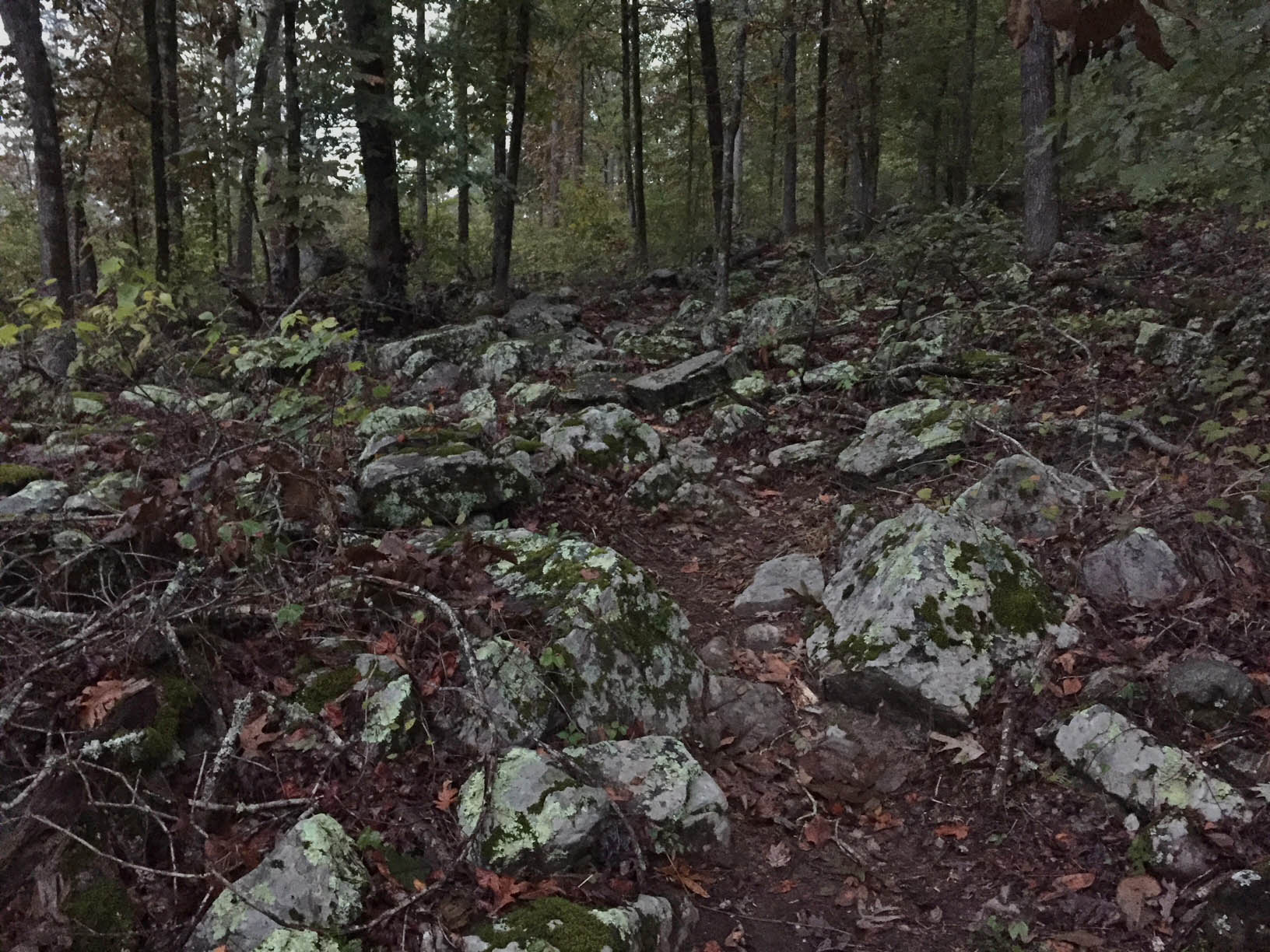
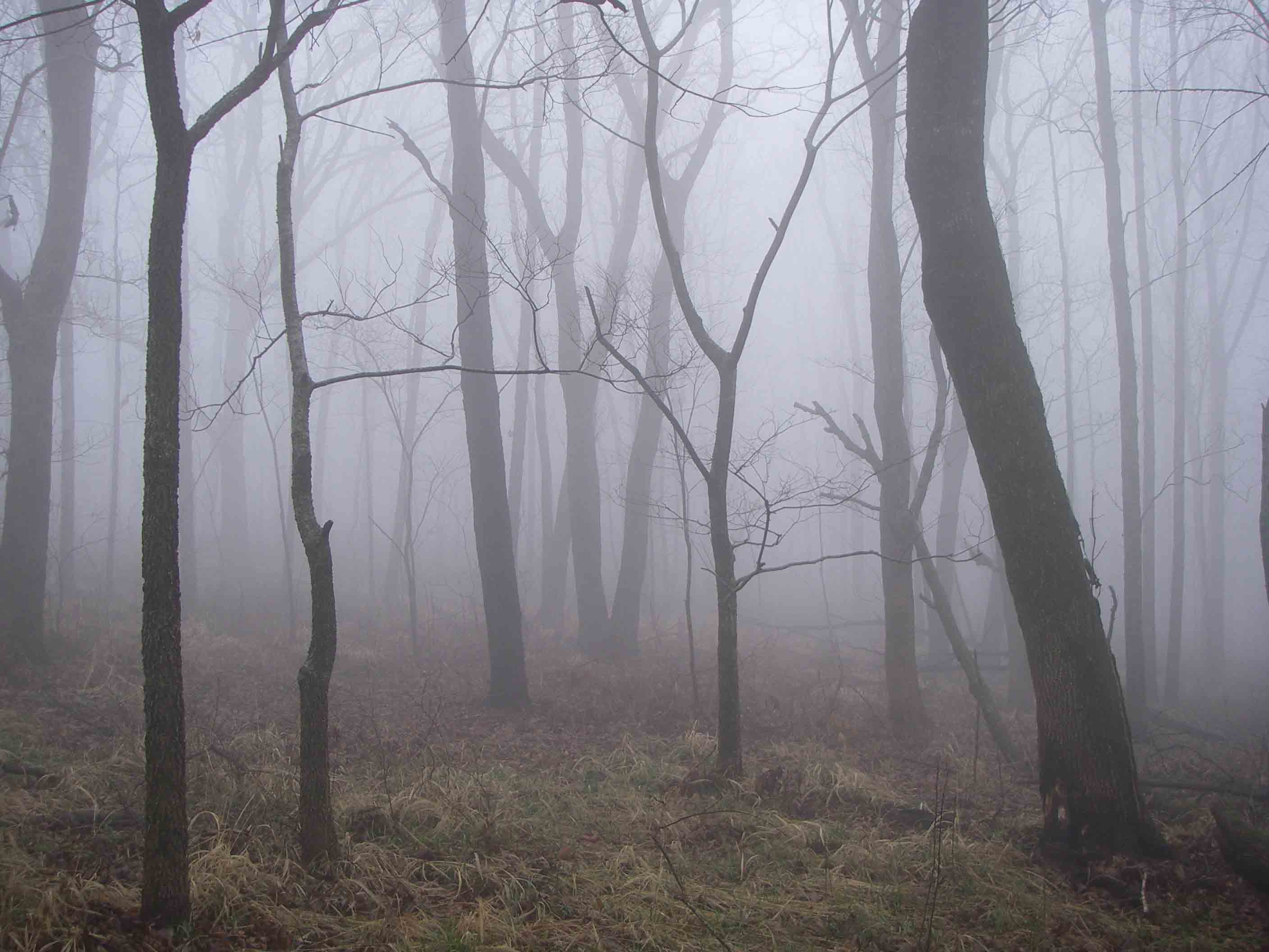
Beginning the trail after sunset
Thankfully, it only took a few steps on the trail for that sense of duty to drop away, replaced by feelings of magic while walking this familiar route in deepening darkness. The last couple of miles required a headlamp.
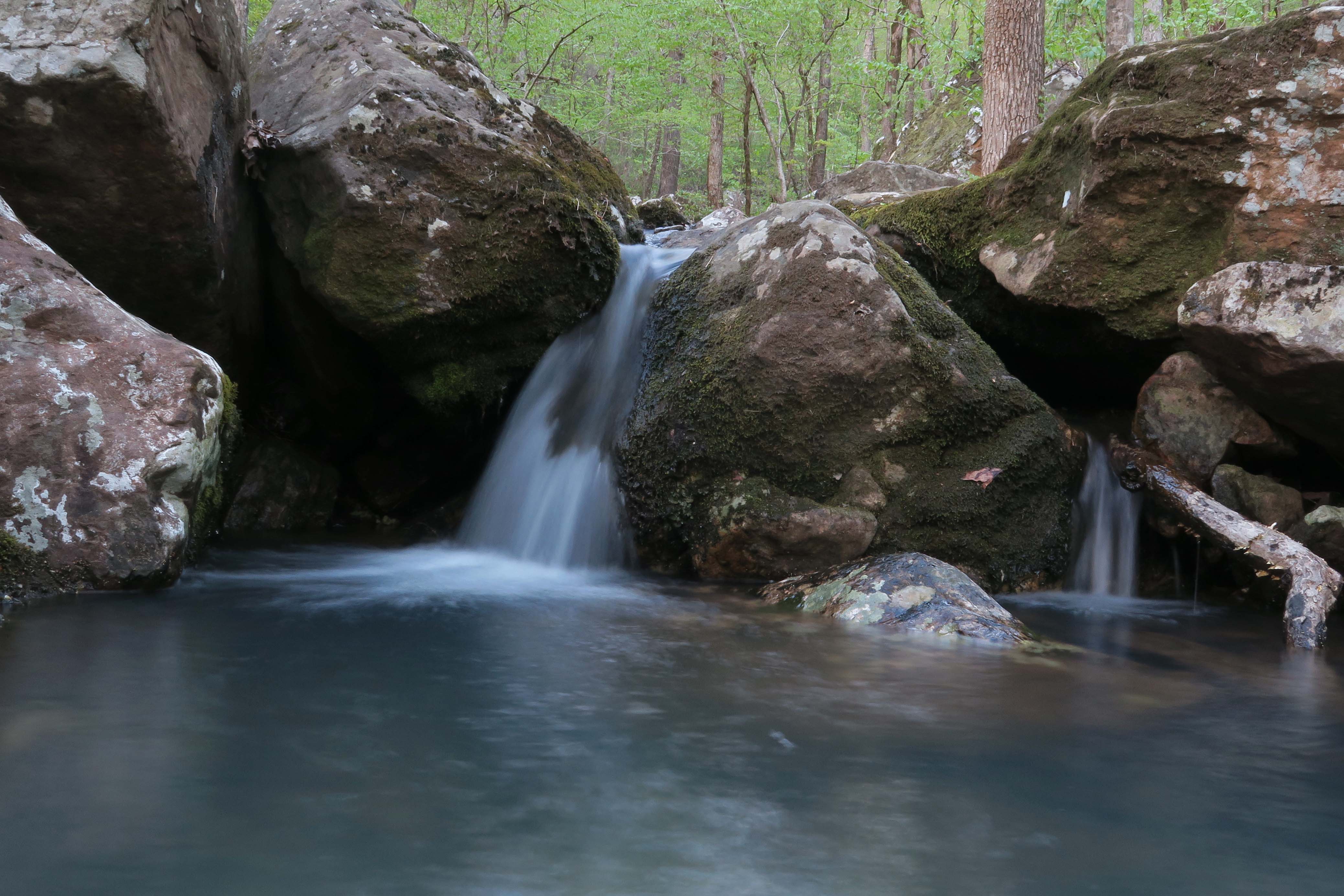
Seeing only the trail details right in front of me stimulated memories of previous walks on this path. Memories associated with each turn of the trail came back clearly like repeated hits of deja vu. As I walked past a couple of my favorite waterfalls in the darkness, I thought of past treks when I enjoyed these scenes in daylight.

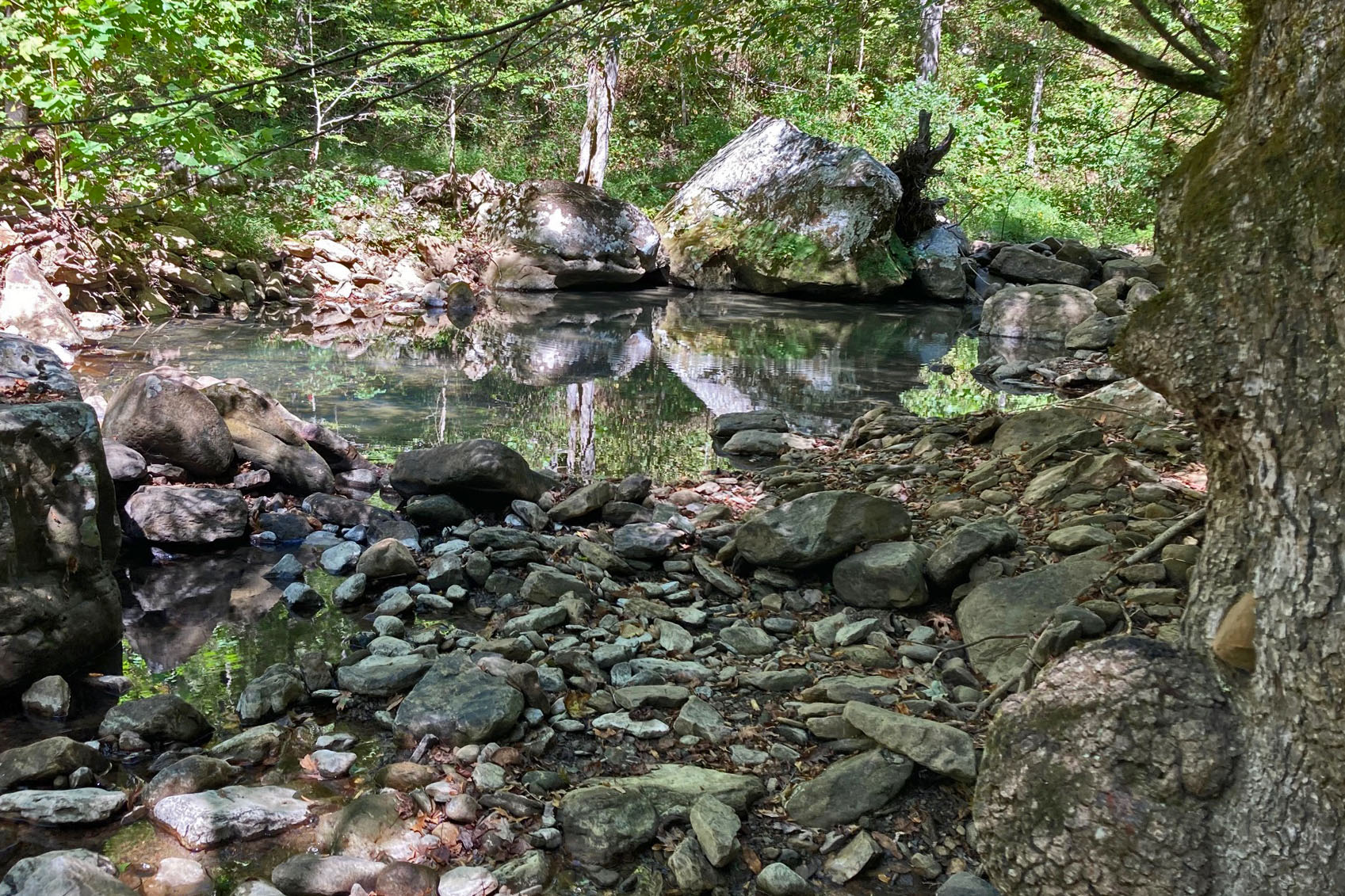
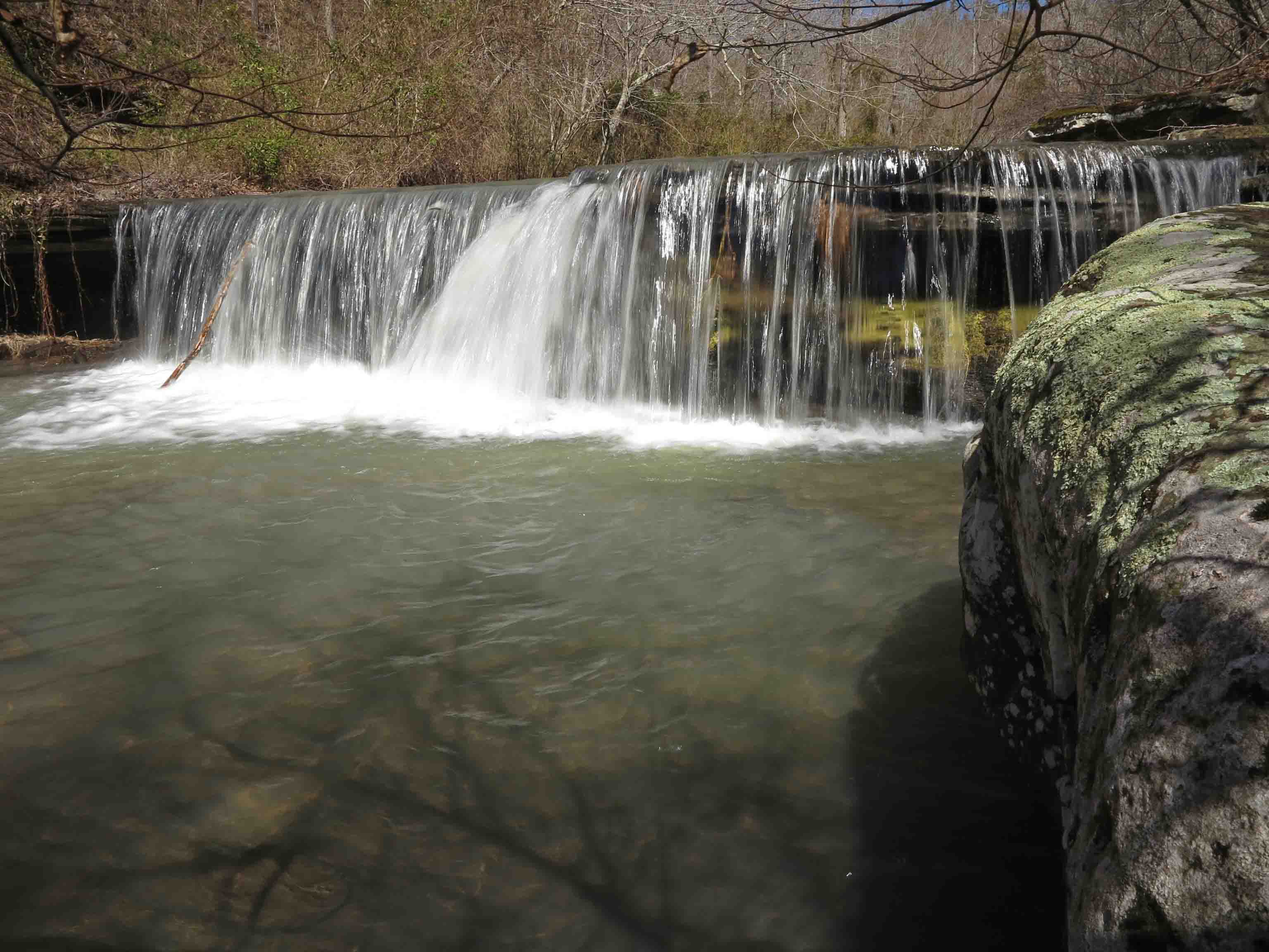
Little Roaring Falls on White Rock Creek

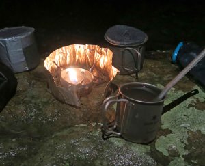
Bedtime beverage
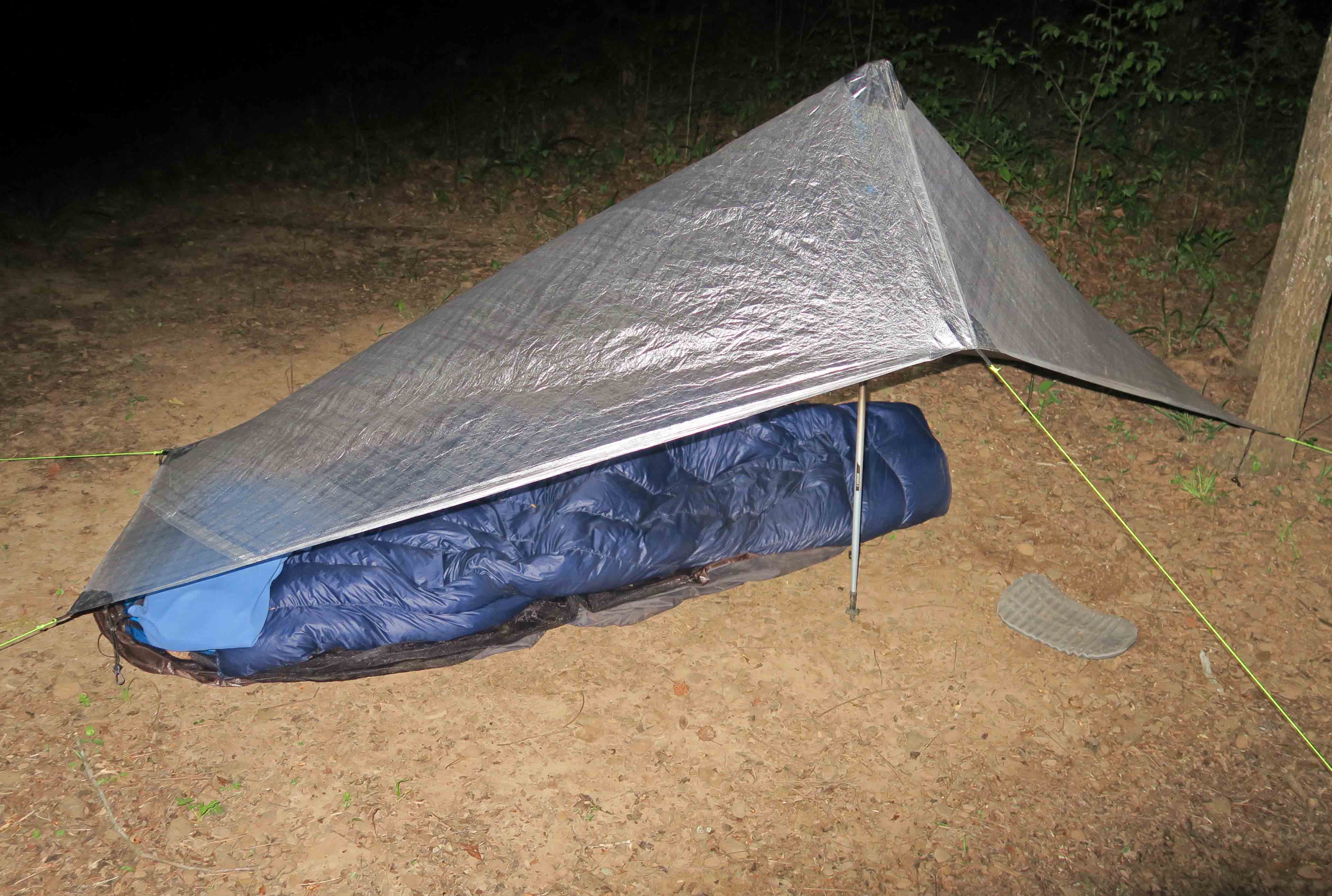
In the misty drizzle, it was easy to set up the tarp so that my down quilt stayed dry inside the trash compactor bag until I was ready for sleep. The small umbrella was helpful during the walk and while making the evening’s hot toddy.
The rainy night left me well rested. When I woke at 4 a.m., the sky was clear and the air was chilly. I felt great, so we packed up and started walking, thinking Salt Fork Creek would be an excellent location for breakfast. Walking the sun up was a treat!
Shortly after passing the intersection at the short spur to White Rock Mountain, someone said “good morning” from inside his tent. I’m sure he was relieved that Hiker-dog wasn’t a bear.

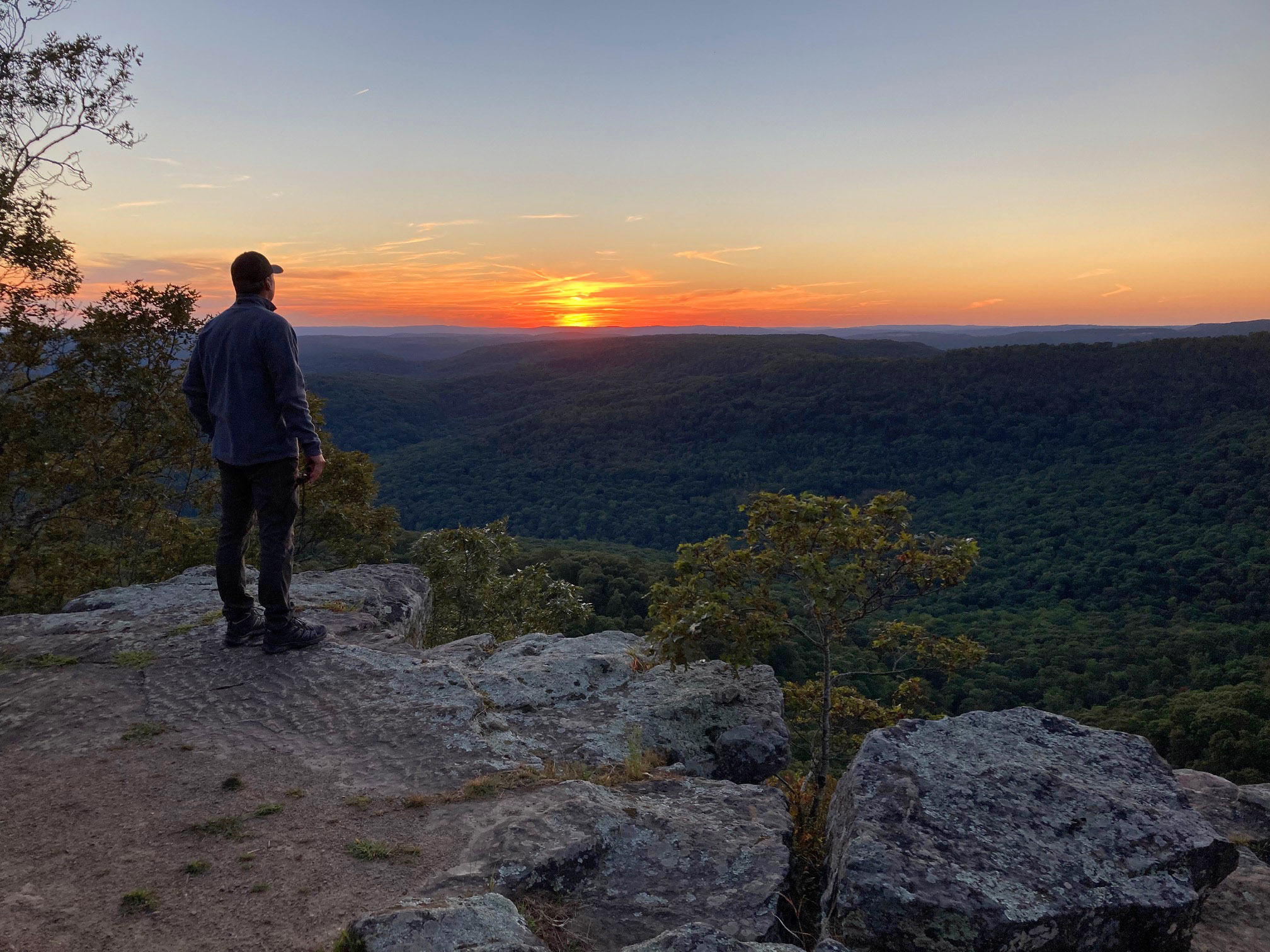
Important sign on the approach to the top of White Rock Mountain
The downhills east of White Rock Mountain were the most difficult footings I encountered in darkness. No falls, but two close calls and a little rock-skating here and there.
As we approached Salt Fork Creek, we saw headlamps from a campsite. A camper’s dog joined us and played with Hiker-dog. The two of them had a great time while I sat close to my stove to protect the boiling water from their prancing.

Salt Fork Creek had clear water

egg burrito
My dehydrated egg crystals turned out great, but I’ll pack some bacon bits next time. I dipped out some clear Salt Fork Creek water for coffee and treated another pouch full for the day. A couple of breakfast bars completed my meal as we backtracked a short distance to the East Loop Trail and continued south.

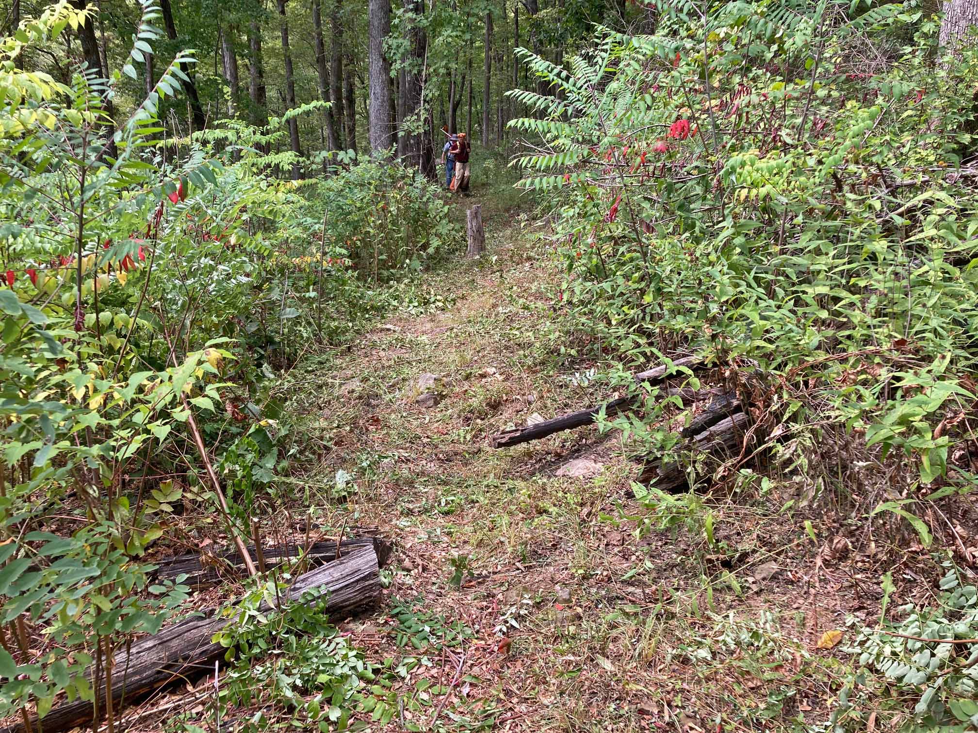
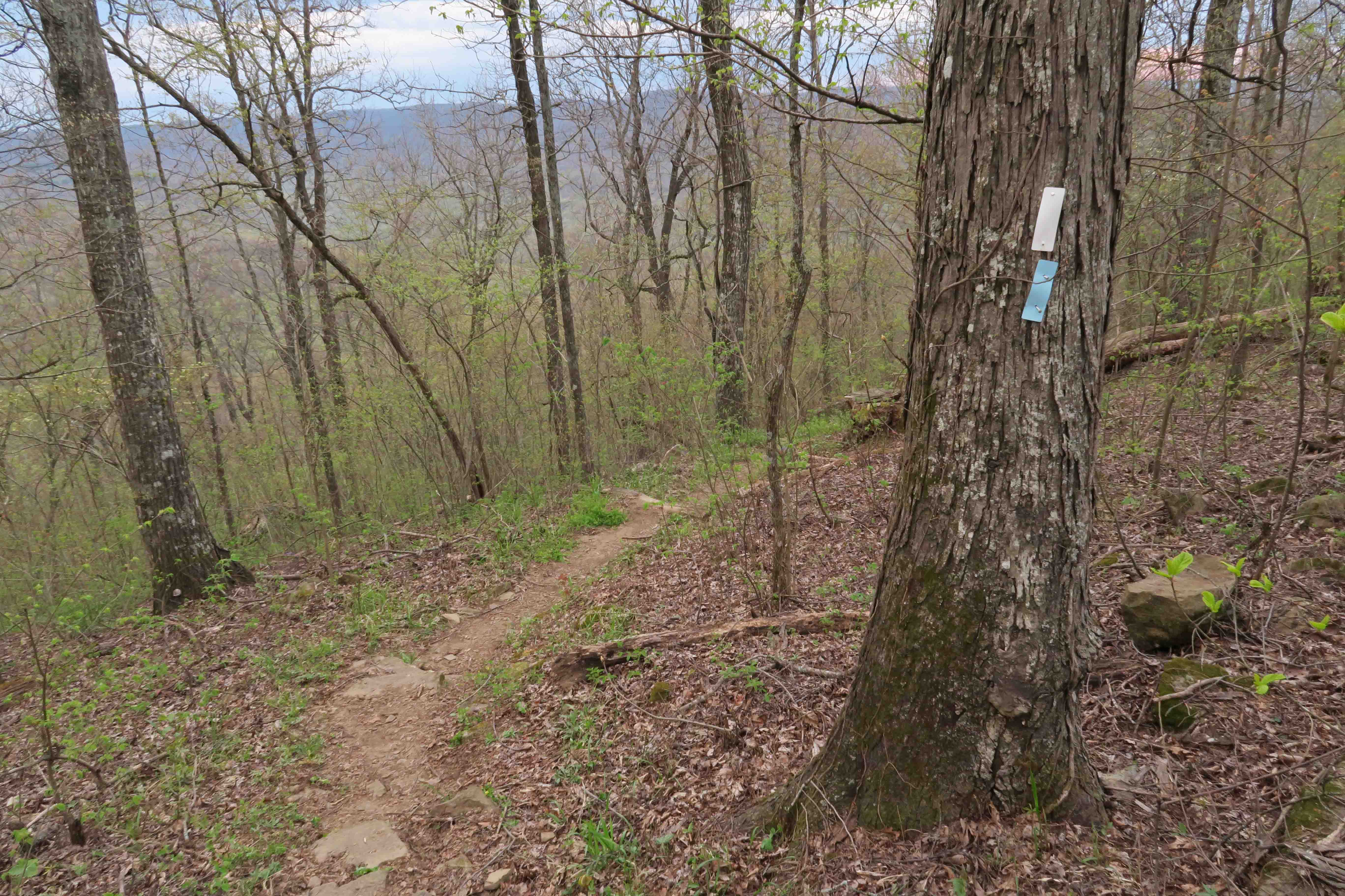
The woods and rocks surrounding the trail were a welcome sight after so much night walking. We saw evidence of trail maintenance by the OHTA all along the trail. I think Hiker-dog appreciated this cut!

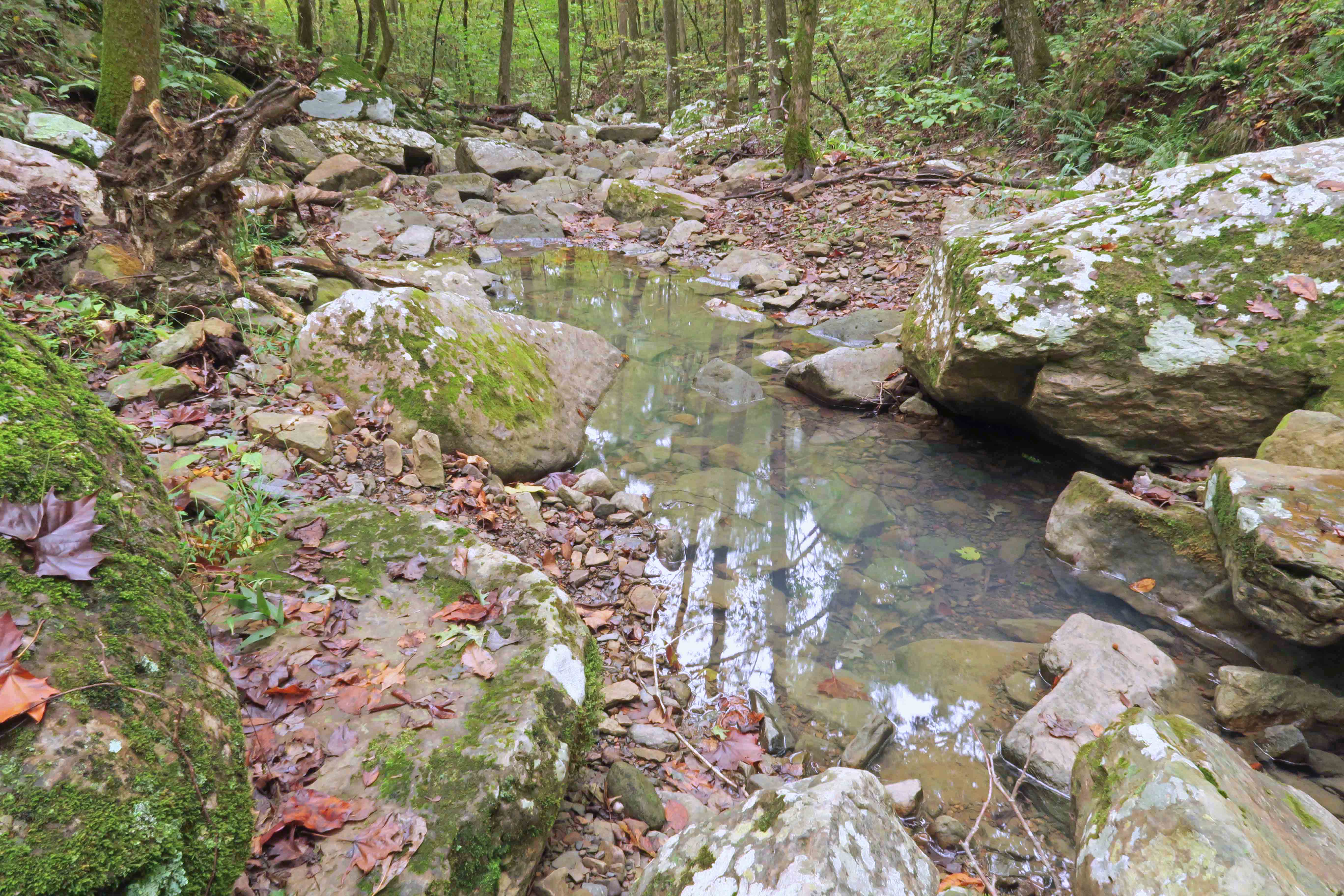
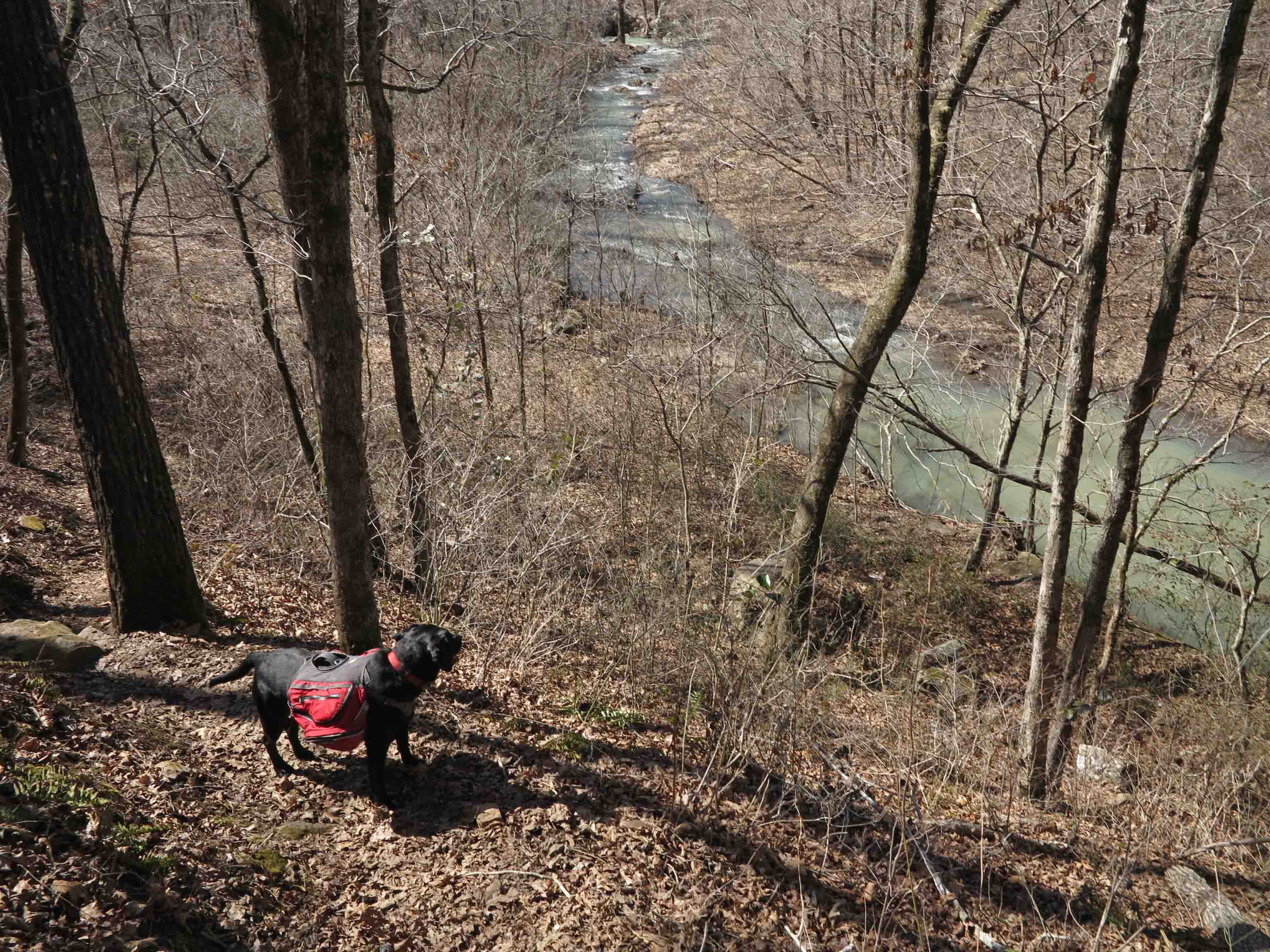
Before arriving back at Shores Lake, the trail crossed this stream that flows down to Salt Fork Creek. This water level is pretty typical of fall in the Ozarks. You can usually find water pockets, but sometimes, creeks are bone-dry this time of year. I still had water from Salt Fork Creek, so we continued and arrived at the trailhead relaxed and ready for lunch (and an afternoon nap).
Shakedown thoughts: The following are my thoughts about a few recent pieces of equipment or practices. I’m not that gear conscious so you won’t get technical info here. Often, I can’t remember the brand names of items while on the trail.
Headlamp – The little Nitecore NU25 headlamp worked well. It’s rechargeable so only repeated uses will tell how long the charge will last, but with the low setting I used most on this outing, it should last several hours. The higher settings were great for scanning the campsite before departing. I carried a Petzl with the retractable strap for backup. I’ve used the Petzl for several years with good results.
Coffee recipe: Details of my trail brew are available on another post, My Morning Brew: Great Coffee on the Trail. I’ve used Mount Hagen instant with good results, but my current coffee brewing method doesn’t leave any trash to carry out.
Hoosier Hill Farm Premium Whole Egg Crystals: Practice making these at home and you’ll have a protein-rich breakfast on the trail. I’m not finding this product now, but hopefully, it’s available or will be soon. I measure the crystals into a small ziplock, then add salt and pepper. When the water boils, I add a few drops of olive oil and then the egg mix. If it’s too thick, I add a few drops of my coffee since I’m mixing in the cook pot. If it’s too watery, I pour off the excess after the eggs scramble.
Shelter: I’ve used the Zpacks tarp in light rain, so this outing gave me a slightly stronger test though I’m looking forward to getting it out in a heavy rain for a final test before using it on the Ozark Trail this winter. My Big Agnes tent is a good option if I lack confidence with the tarp, but I like the lightness of the tarp. The Big Agnes was my John Muir Trail shelter and it worked well. If I hike the High Sierras again in summer, I’ll take my tarp.
Hot Toddy recipe (for medicinal purposes): Put a little bourbon in a cup (depending on taste). Boil a cup of water and add 4-6 whole cloves toward the end of the boil. Pour into cup and stir in a pinch of True Lemon crystals. Enjoy!


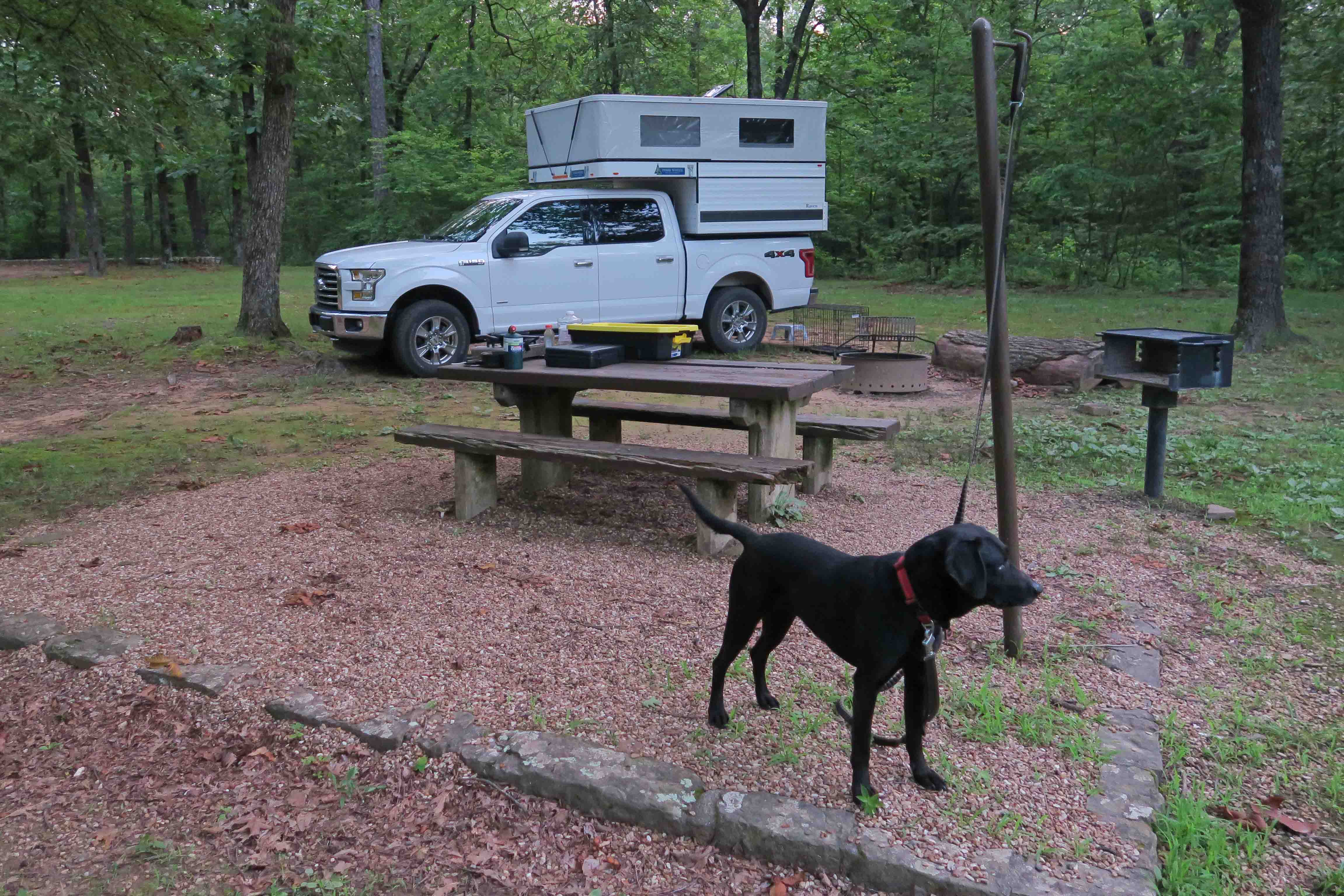
 After a quick camp set up, it was time to walk the loop trail as the sun went lower in the sky. We began by walking the eastern side, enjoying the shade and remembering earlier hikes when we first saw the stone well…or spring. Water was flowing several feet below.


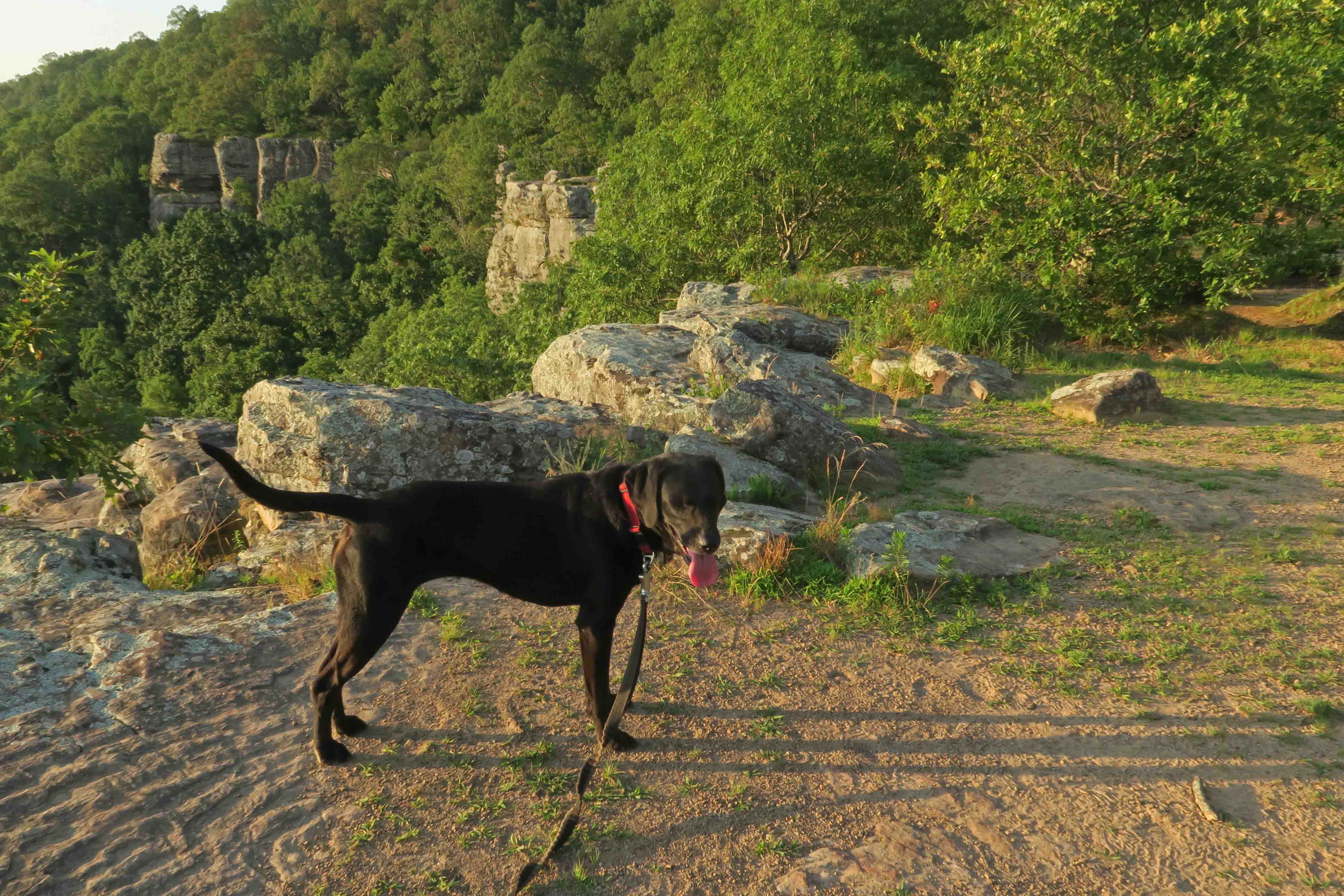
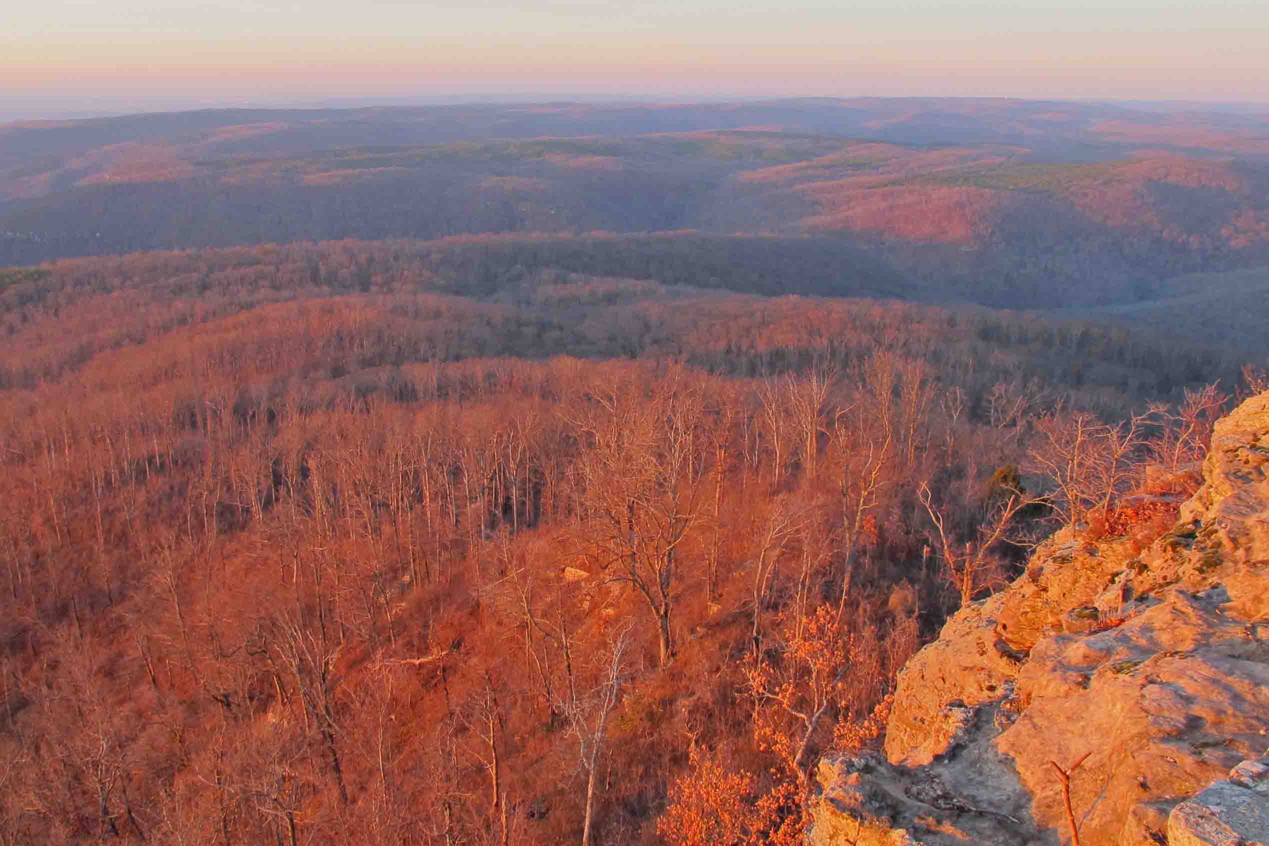
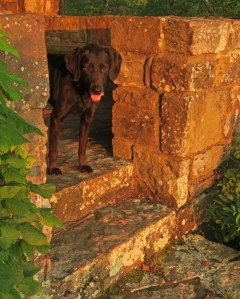 The morning light made Hiker-dog glow in the reddish morning sun as we took in the views from a shelter on the east side of the mountain. She was one happy dog, and so was I!


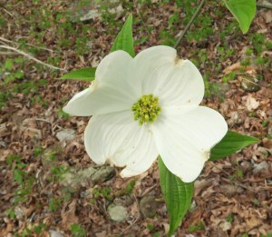 Dogwoods were blooming in all their glory. Their gentle clouds of white popped against the light greens of spring.


